


Bristol 3D Model
Design and plan with precision using Bristol’s digital twin
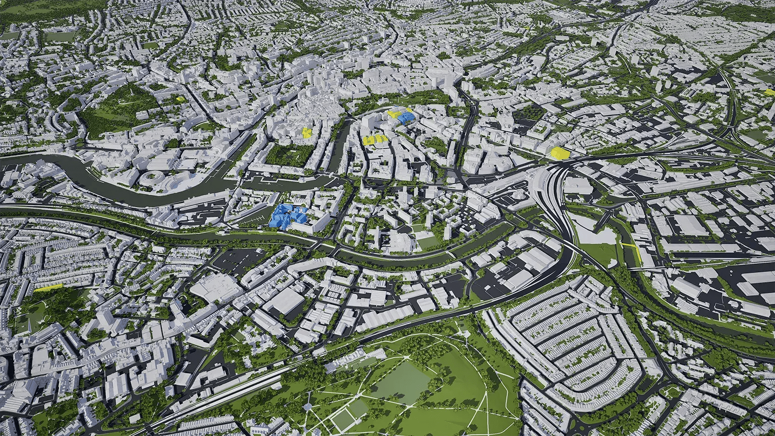
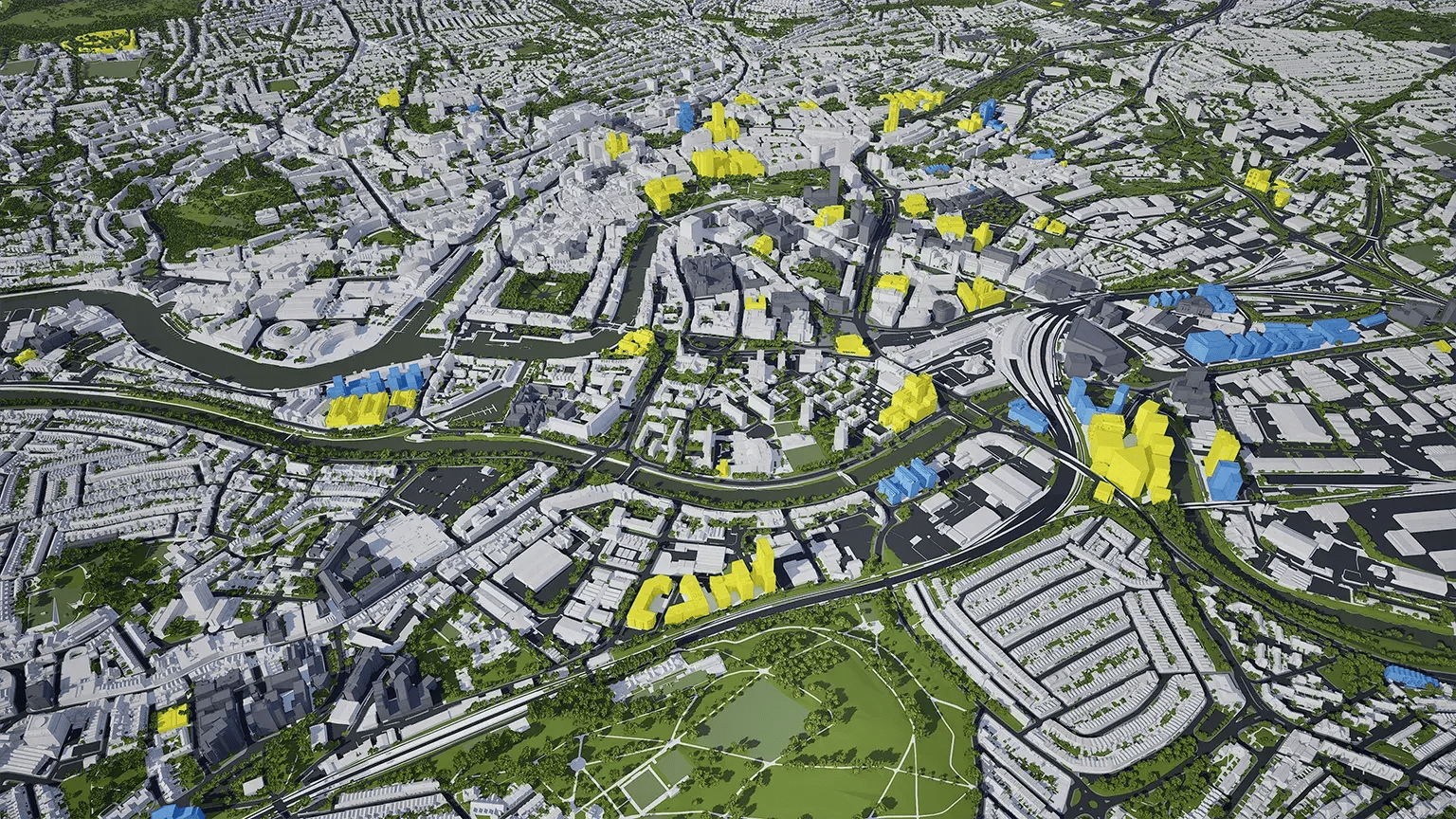
Explore, plan, analyse and present your work on a survey-accurate 3D model of Bristol, including approved and under-construction buildings. Use rich data layers to assess site potential, spot constraints early and reduce project risk, all in one digital twin your whole team can work in.
Used by Bristol City Council. Built for built environment professionals, from architects and planners to developers and asset managers.
-
45DATA LAYERS
-
130.38 sq kmMODELLED TO 15CM ACCURACY
-
2HIGH DETAIL BUILDINGS
-
232Consents approved
-
654,220TREES, ACCURATE HEIGHT AND CANOPY
See Bristol's past, present & future in VU.CITY
Models. Data. Tools. All in one platform.
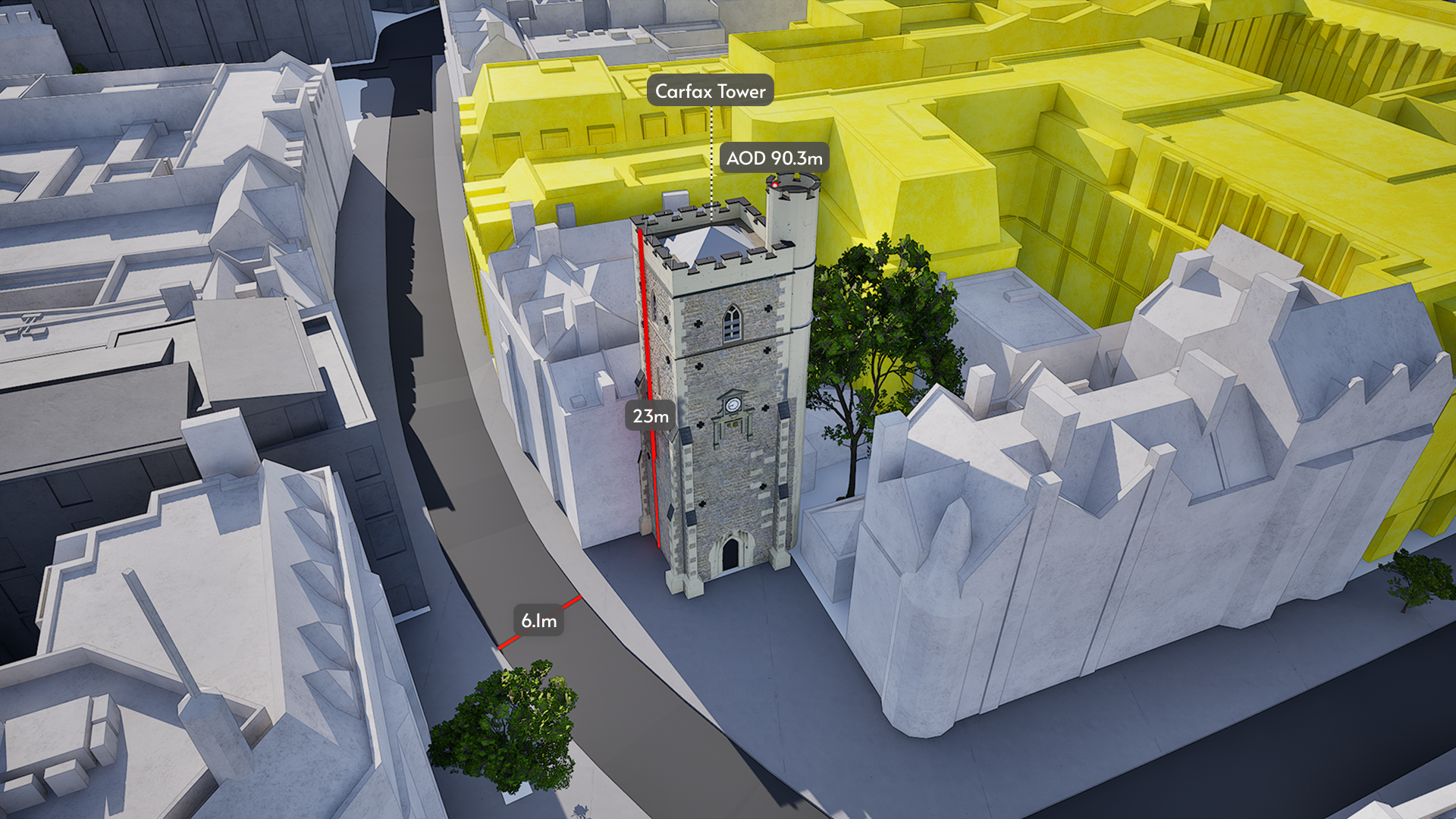
We provide the most accurate and detailed managed city models available. ±15cm for all buildings, trees and terrain.
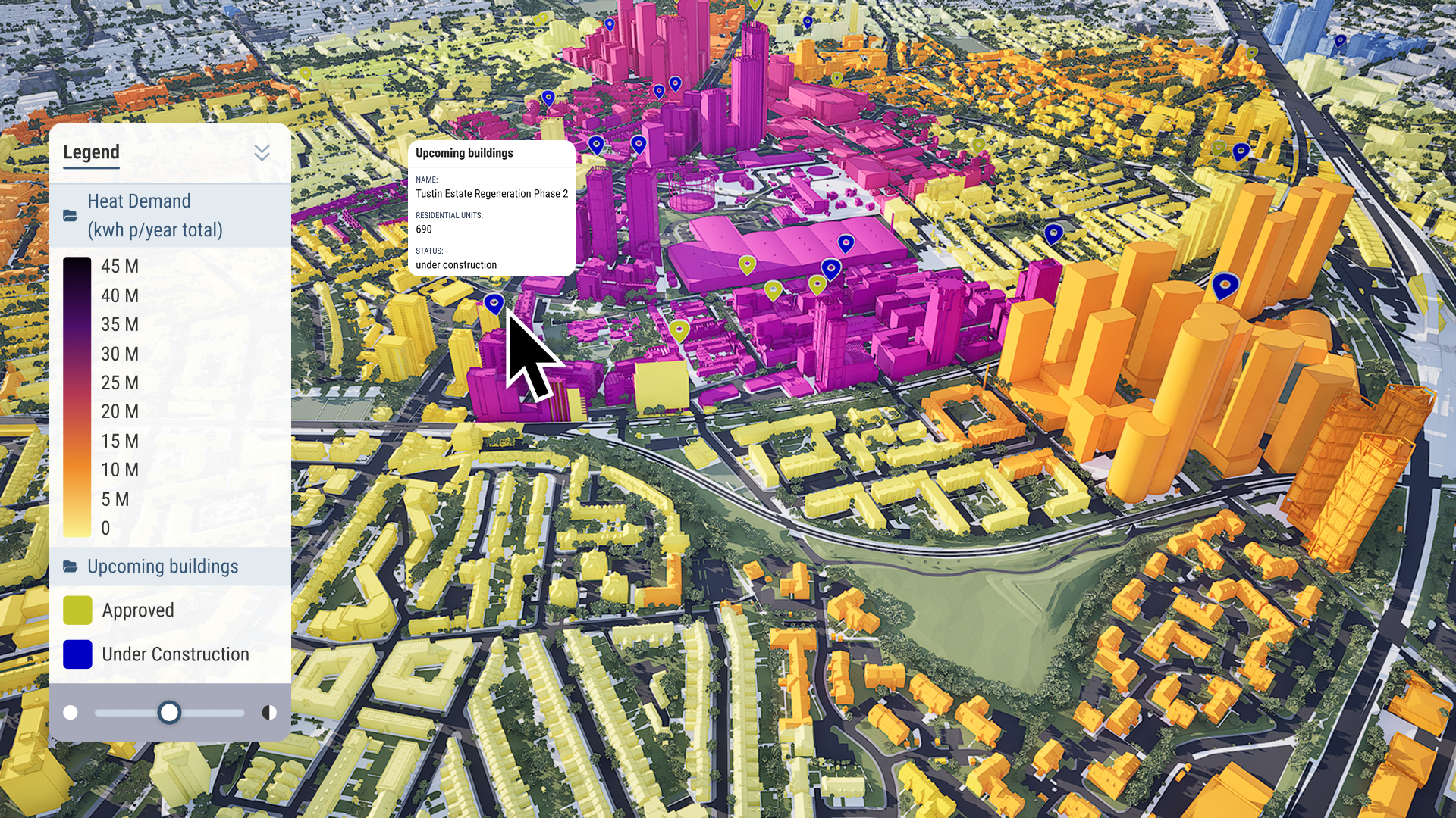
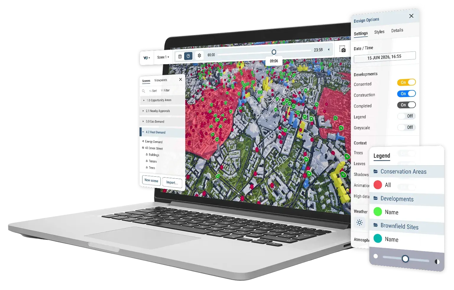
Our public data is available to all users. You can also import your own, private data for your projects. Visualise, analyse and filter large-scale data sets with ease.
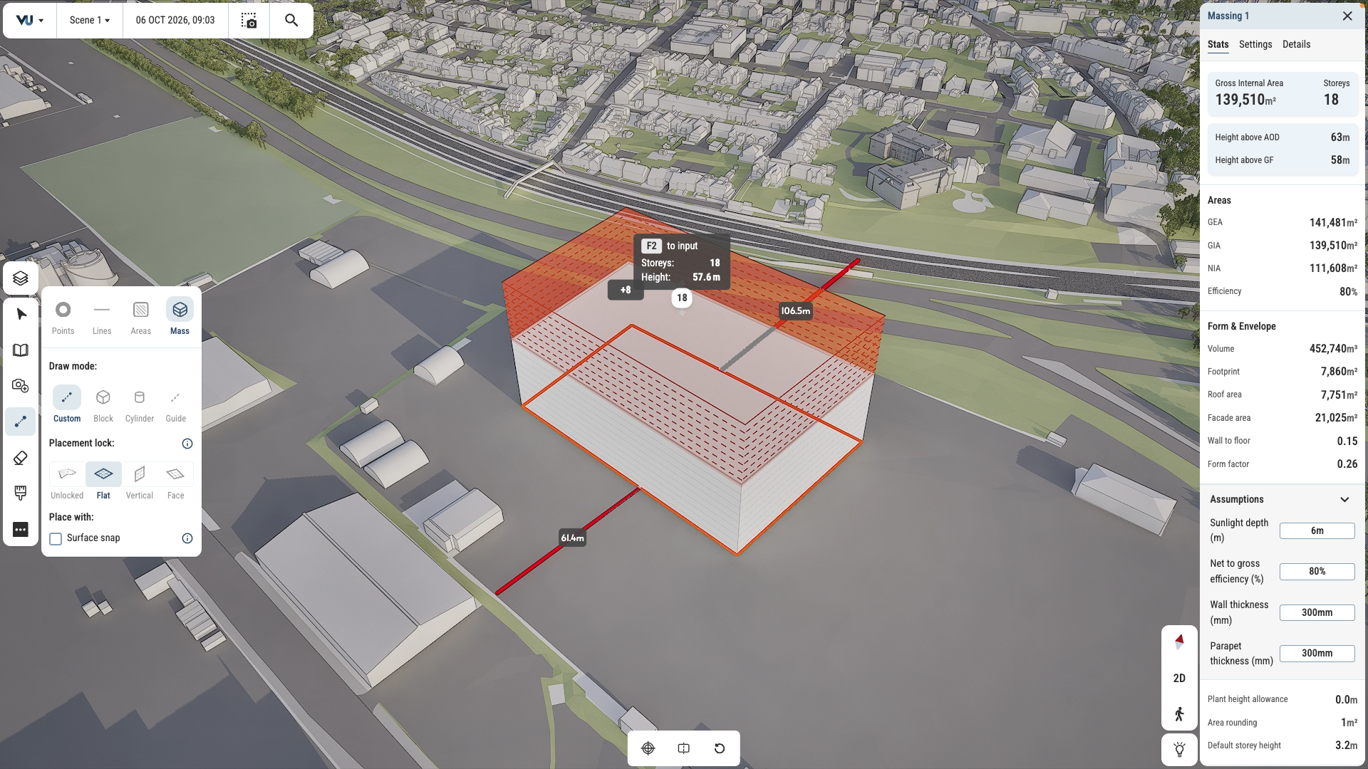
Test and iterate ideas in survey-accurate context. Draw in 2D and 3D. Mark up plans and create maps with stakeholder-ready visual quality.
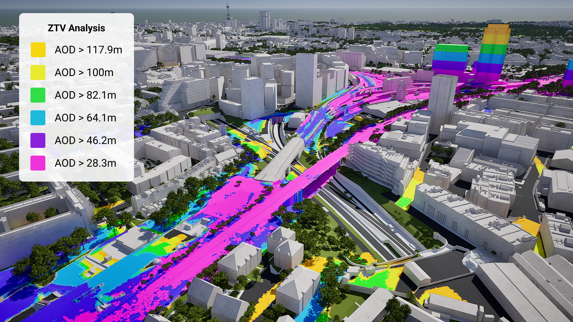
Generate ZTV studies and viewsheds in just a few clicks. See sunlight paths and overshadowing instantly.
Create guided tours and presentations, export high quality imagery and share files with stakeholders for seamless collaboration and feedback.
Survey accurate Bristol coverage
From the harbourside to the whole city, our Bristol 3D model is mapped to 15cm accuracy.
Bristol data layers for contextual viability
From transport and heritage to environmental factors, the data layers in our Bristol digital twin give you the context to make confident decisions.
Amenities & Services
-
Local Important Buildings
-
Educational Establishments
-
GPs
-
Hospitals
-
Retail Boundaries
-
Supermarkets
Crime & Safety
-
Burglary
-
Drug Crime
-
Robbery
-
Shoplifting
-
Theft Crimes
Demographics & Economy
-
Annual Average
-
Deprivation Index
-
House Prices
-
Population Density
Energy & Utilities
- Internet Speed
Environmental
- Air Quality Management Areas
- Flood Risk Areas
- Rail Noise
- Road Noise
Green Spaces & Open Areas
-
Greenspace Sites
Heritage & Conservation
-
Conservation Areas
-
Listed Buildings
-
Scheduled Monuments
Planning & Development
-
Brownfield Sites
-
Developments
Transport & Accessibility
-
Cycle Network
Hover over each card to see more
VU.CITY Bristol is the largest and most accurate interactive 3D model available
VU.CITY Bristol: a 3D city model for one of the UK’s greenest cities.
Bristol is one of the UK’s most environmentally conscious cities. Working with its Climate Advisory Committee, the city created its One City Plan, with an ambition to deliver new net zero carbon homes and retrofit existing housing to meet Bristol’s climate and ecological emergencies.
The use of VU.CITY Bristol, for example in transforming Temple Meads, has meant greater insight and improved communication and transparency throughout Bristol’s planning process.
Architects working in Bristol, such as FCB Studios and Stride Treglown already know the many advantages of using VU.CITY Bristol, yet there is one major challenge that makes initial feasibility studies difficult. Bristol is built on seven hills. VU.CITY’s ZTV (Zone of Theoretical Visibility) tool is the ideal solution, helping users understand where a development can be seen from different points on the ground around the city.
Bristol City Council has embraced VU.CITY Bristol in helping to turn their visions into reality. The council has used our data layers to help visualise clean air zones, and ZTV to conduct in-depth feasibility studies for ambitious regeneration projects such as Western Harbour, Frome Gateway, Bedminster Green, Hengrove/South Bristol and Avonmouth-Severnside Enterprise Area.
The Temple Quarter regeneration project, set to create 22,000 new jobs, has been designed with insight gained through using VU.CITY Bristol and is set to create a thriving transport hub as well as improved facilities for Bristol University.
Bristol’s next chapter
Bristol’s growth is gathering pace. In Temple Quarter, the £350 million Temple Island scheme is leading a wave of housing-led regeneration. To the north, the Brabazon neighbourhood on the former Filton Airfield is set to bring thousands of new homes, new schools and the YTL Arena, one of the UK’s largest indoor venues.
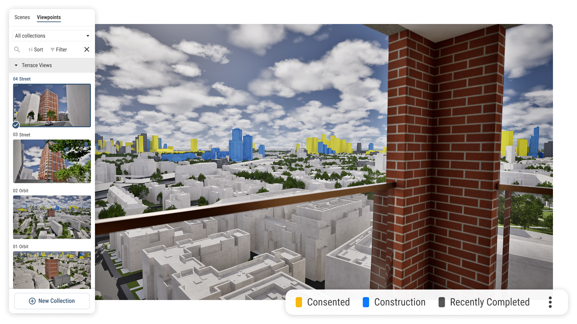
With VU.CITY Bristol, you can see approved and under-construction schemes in context and test how your own plans will sit alongside them.
Built environment professionals, from architects and planners to developers and asset managers, use VU.CITY Bristol to understand a site’s opportunities and challenges, test designs in context, strengthen pre-app conversations and planning submissions, and improve how everyone involved collaborates.
VU.CITY Bristol FAQs
Here are some frequently asked questions about VU.CITY's Bristol 3D Digital Twin and Model.
What is the VU.CITY Bristol 3D model?
VU.CITY Bristol is a survey-accurate 3D model and digital twin of Bristol, modelled to 15cm accuracy. Built environment professionals use it to see projects in real context, understand site conditions, assess design impacts and make well-informed decisions.
How does the Bristol 3D model support sustainable urban planning?
VU.CITY Bristol lets you test massing, daylight, sunlight and views alongside environmental data layers, such as clean air zones. That helps you design schemes that support Bristol’s net zero and climate ambitions.
Can I bring my own designs into the VU.CITY Bristol model?
Yes. You can import your own models from major CAD tools such as Revit and SketchUp, and see them in context within the Bristol 3D model, alongside approved and under-construction schemes.
What features are included in the VU.CITY Bristol 3D model?
VU.CITY Bristol combines survey-accurate geometry with a public data library, design tools, analysis tools such as ZTV and sunlight studies, and presentation tools for imagery and interactive tours, all in one platform.
Who benefits from using the VU.CITY Bristol model?
VU.CITY Bristol is built for built environment professionals, from architects and planners to developers, local authorities, asset managers and real estate teams working across Bristol.
Explore digital 3D geospatial solutions for the built environment
VU.CITY provides clear, powerful tools for key decision-makers across the built environment, helping them visualise and shape the future of cities with confidence and precision.

Licence any VU.CITY city and design, test and present your project in its real context.
Coverage across 26 UK & International cities