


Cambridge 3D Model
Work with confidence using Cambridge’s leading digital twin.
Explore, plan, analyse and present your work on a survey-accurate 3D model of Cambridge, including approved and under-construction buildings. Use rich data layers to assess site potential, spot constraints early and reduce project risk, all in one digital twin your whole team can work in.
Used by Greater Cambridge Shared Planning. Built for built environment professionals, from architects and planners to developers and asset managers.
-
51DATA LAYERS
-
93.69 sq kmMODELLED TO 15CM ACCURACY
-
155Consents approved
-
395,810TREES, ACCURATE HEIGHT AND CANOPY
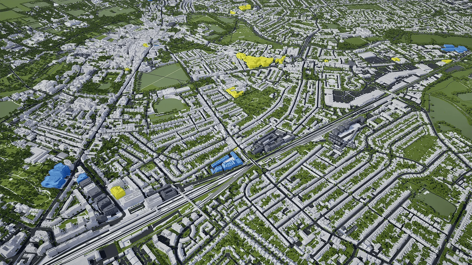
See Cambridge’s past, present & future in VU.CITY
Models. Data. Tools. All in one platform.
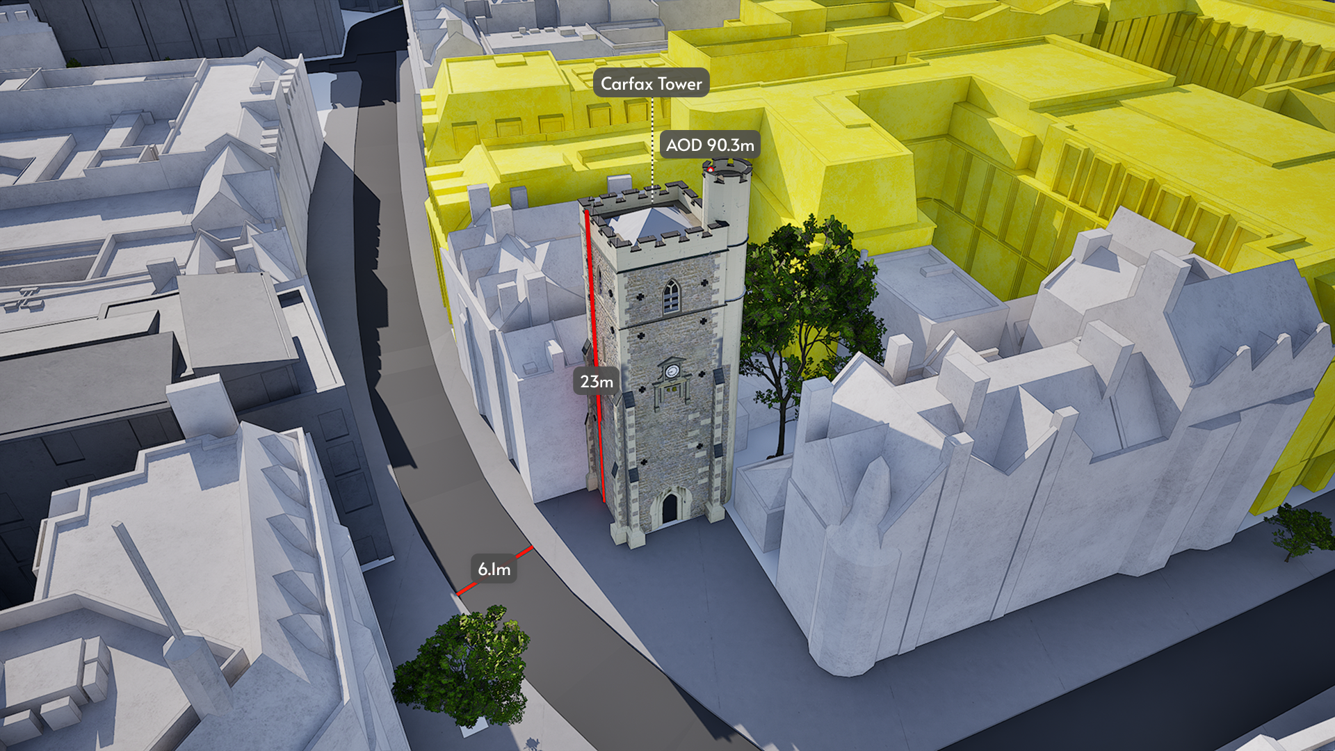
We provide the most accurate and detailed managed city models available. ±15cm for all buildings, trees and terrain.
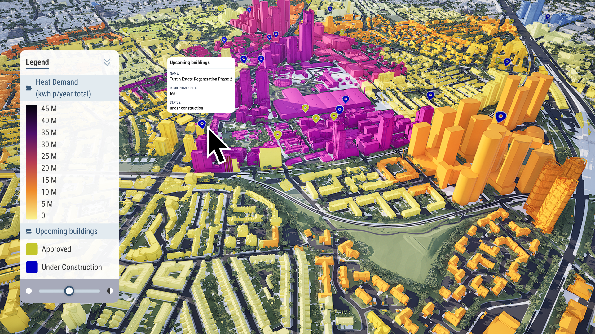
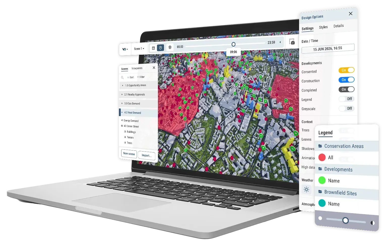
Our public data is available to all users. You can also import your own, private data for your projects. Visualise, analyse and filter large-scale data sets with ease.
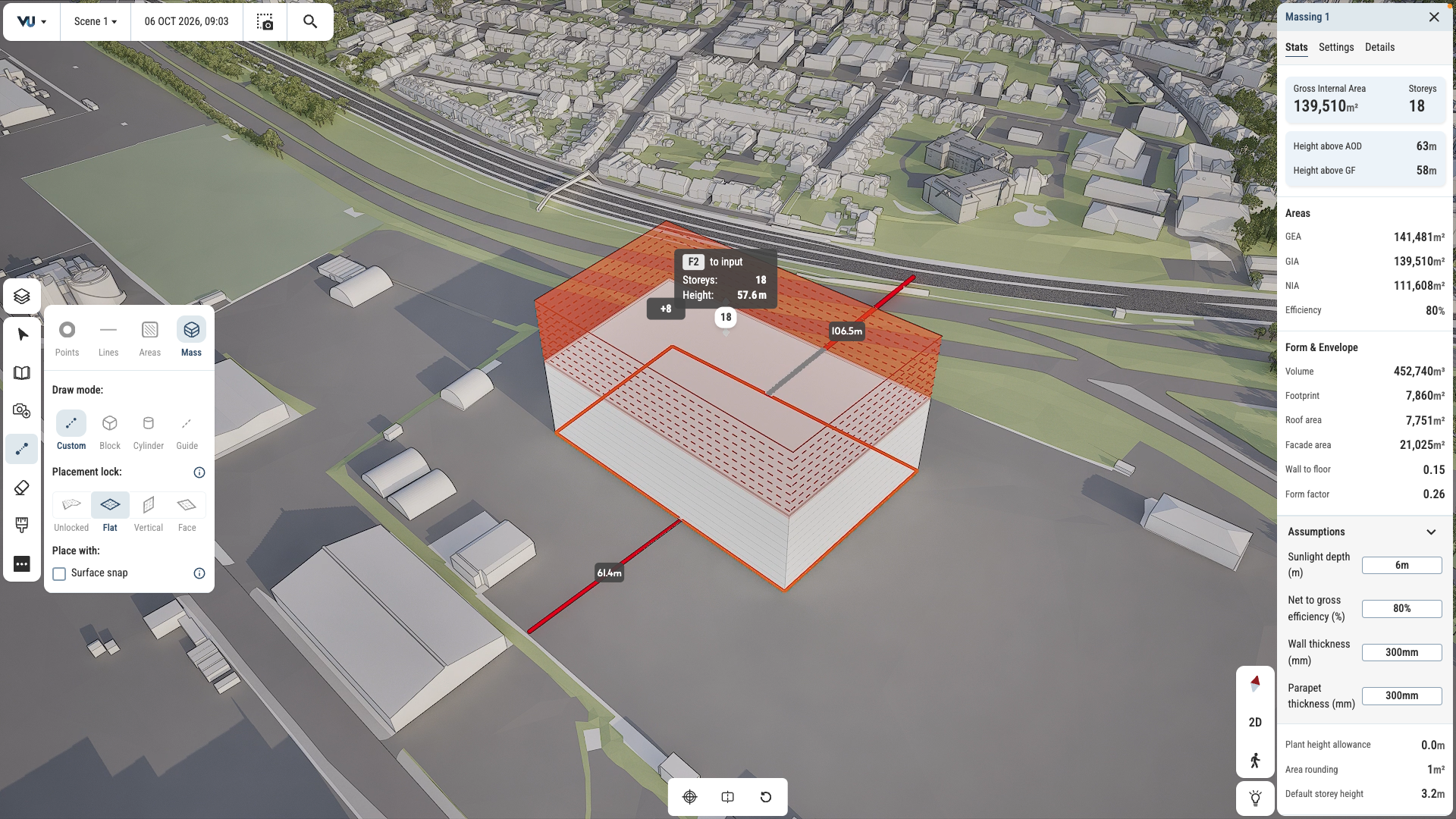
Test and iterate ideas in survey-accurate context. Draw in 2D and 3D. Mark up plans and create maps with stakeholder-ready visual quality.
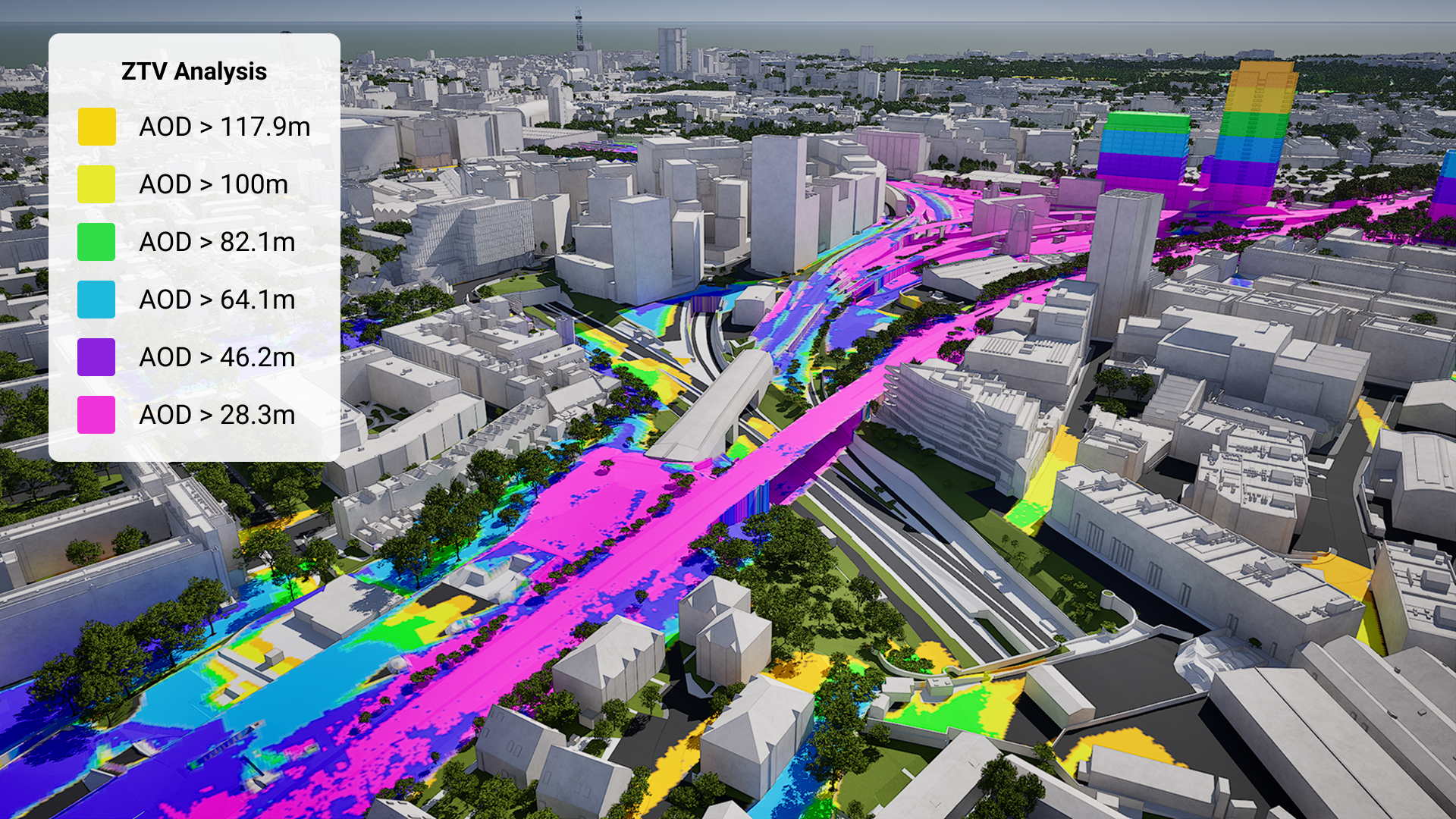
Generate ZTV studies and viewsheds in just a few clicks. See sunlight paths and overshadowing instantly.
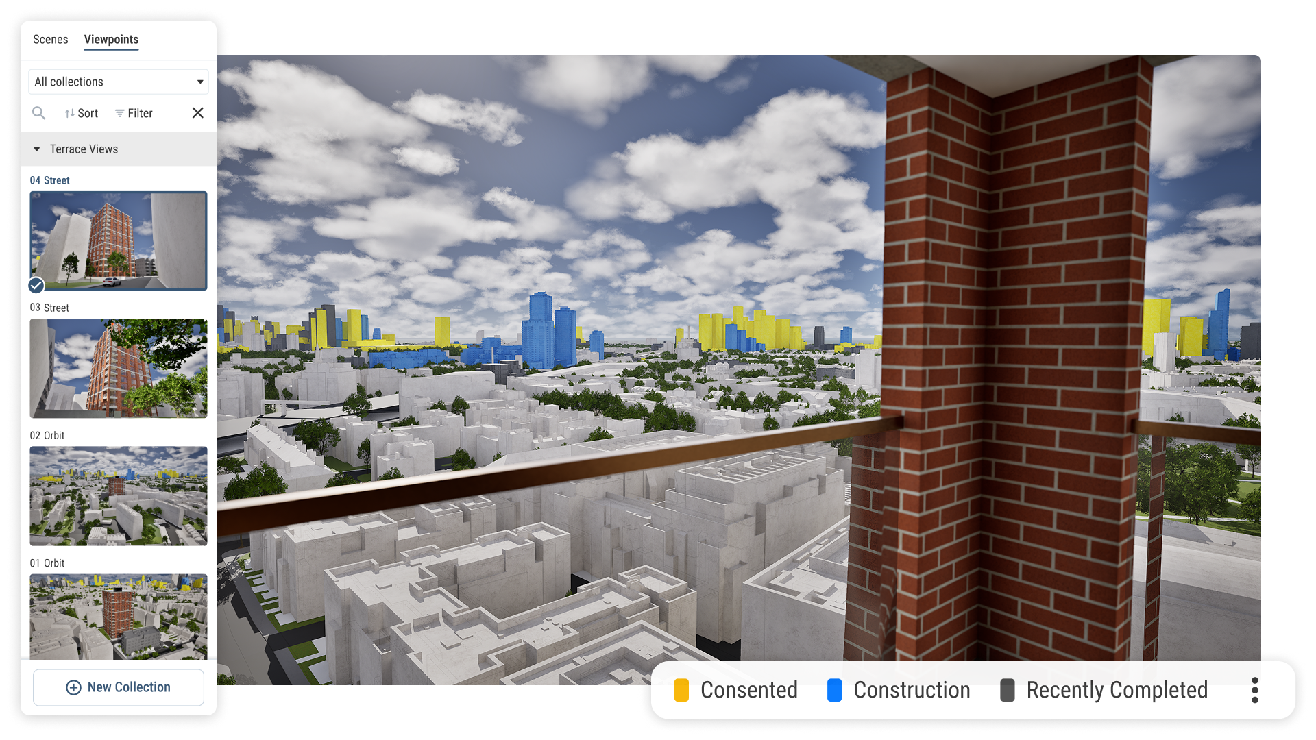
Create guided tours and presentations, export high quality imagery and share files with stakeholders for seamless collaboration and feedback.
Survey accurate Cambridge coverage
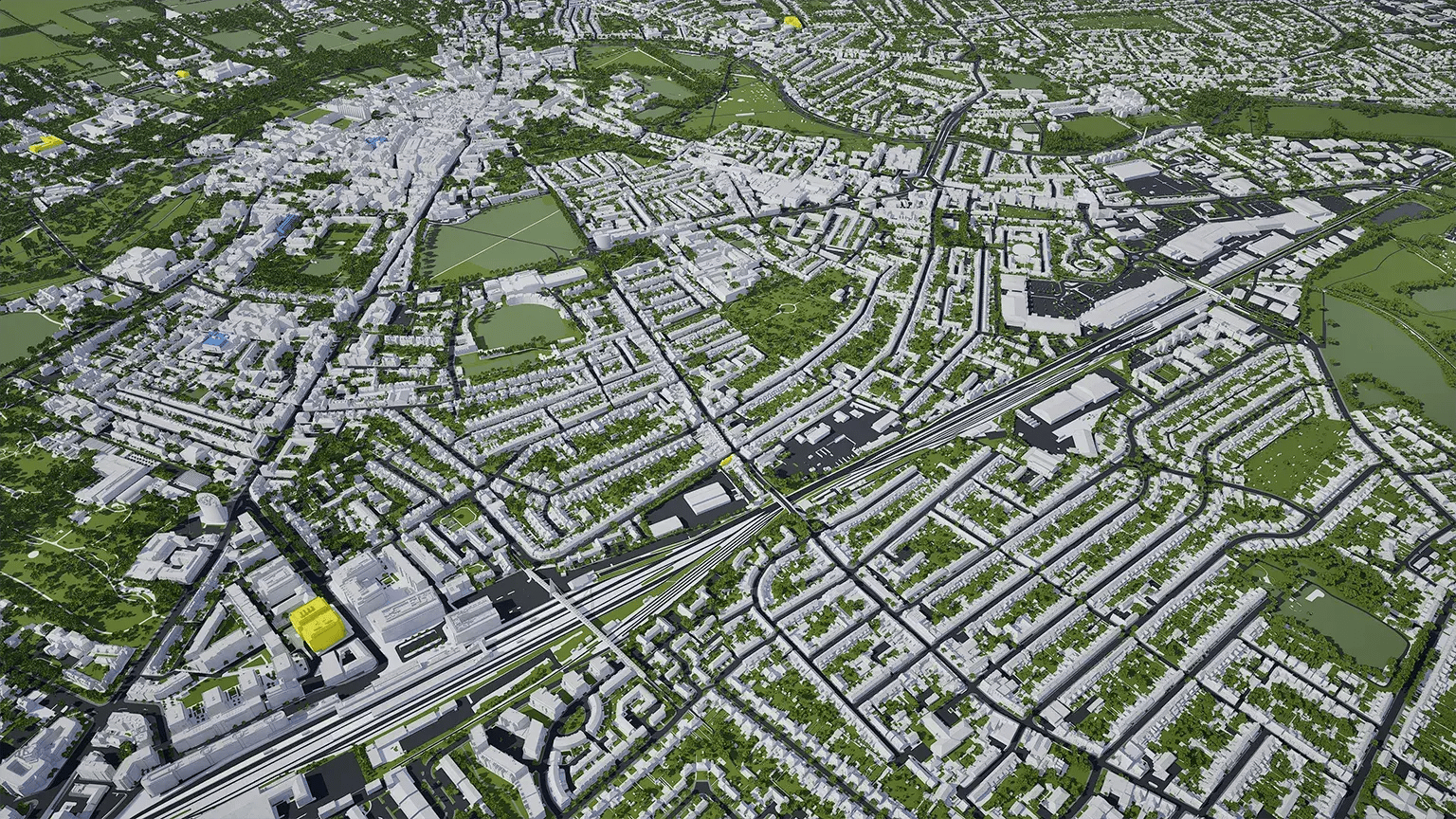
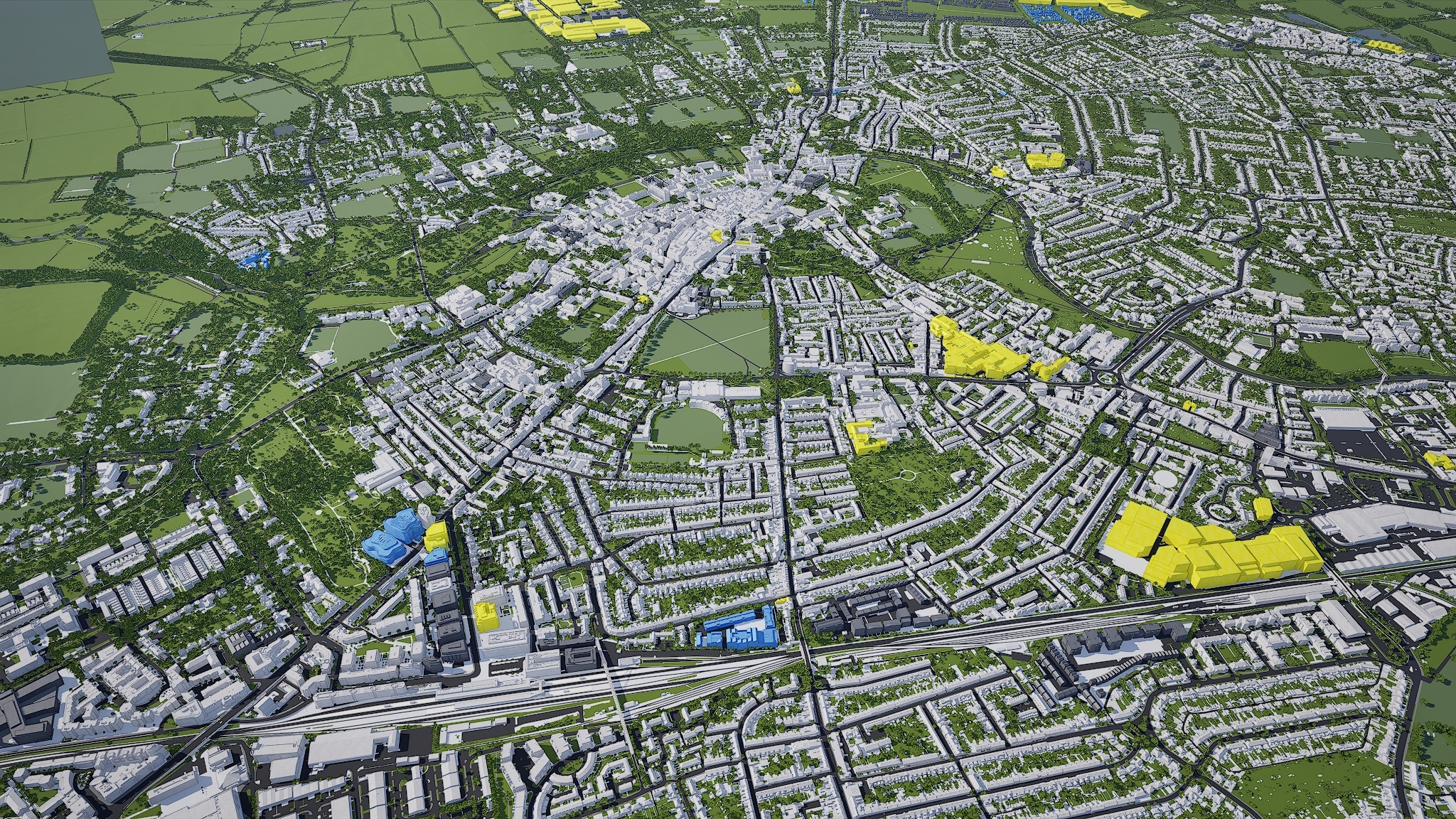
From the historic centre to the city’s growing edges, our Cambridge 3D model is mapped to 15cm accuracy.
Cambridge data layers for contextual viability
From transportation and zoning to environmental factors, VU.CITY Cambridge 3D model data layers provide essential insights for more informed and confident decision-making.
Amenities & Services
-
Local Important Buildings
-
Educational Establishments
-
GPs
-
Hospitals
-
Retail Boundaries
-
Supermarkets
Crime & Safety
-
Burglary
-
Drug Crime
-
Robbery
-
Shoplifting
-
Theft Crimes
Demographics & Economy
-
Annual Average
-
Deprivation Index
-
House Prices
-
Population Density
Energy & Utilities
- Internet Speed
Environmental
- Flood Risk Areas
- Rail Noise
- Road Noise
Green Spaces & Open Areas
-
Greenspace Sites
Heritage & Conservation
-
Conservation Areas
-
Listed Buildings
-
Scheduled Monuments
Planning & Development
-
Brownfield Sites
-
Developments
Transport & Accessibility
-
Cycle Network
Hover over each card to see more
VU.CITY Cambridge is the largest and most accurate interactive 3D model available
Beautiful and historic, prosperous and innovative, Cambridge has a unique character with many iconic college buildings. Its green spaces within urban areas are especially key to what makes Cambridge unique, yet its conservation constraints mean that land supply is limited. Trees form an important element of Cambridge’s characterful core & surrounding suburbs, with elevated views from the rural hinterland and Castle Mount revealing the classical view of Cambridge’s historic buildings.
VU.CITY Cambridge enables an understanding of longer range views, with the ability to walk around the model in a 360 degree experience to envisage the impact of any project on the city’s green spaces and built environment.
The digital platform provides a deep understanding of the historic environment and how a design or proposal might affect it, made all the easier by being able to highlight and bring to the front of mind buildings of key significance, such as the colleges, and fully consider the impact of proposals.
Data layers shared by the Greater Cambridge Shared Planning Authority allow for designs to take into account key aspects of current policy, and ensure that areas of opportunity when designing a scheme are easily identified.
VU.CITY Cambridge users include Greater Cambridge Shared Planning, Turley, Formation Architects, Allies & Morrison and Hawkins\Brown, who have already discovered the model’s many benefits, from being able to instantly understand and assess a site’s challenges and potential, test and experience design in situ, to improving how everyone involved collaborates.
Cambridge’s next chapter
Cambridge is a national priority for growth. The Government has set up the Cambridge Growth Company to help shape that growth, and a new Greater Cambridge Local Plan is being prepared to guide development to 2045. At Cambridge East, land including the current Cambridge City Airport is set to become a new community of around 10,000 homes, while the Cambridge Biomedical Campus continues to anchor the city’s world-leading life sciences cluster.
With VU.CITY Cambridge, you can see approved and under-construction schemes in context and test how your own plans will sit alongside them.
VU.CITY Cambridge FAQs
Here are some frequently asked questions about VU.CITY's Cambridge 3D Digital Twin and Model.
How can the VU.CITY Cambridge model support planning in areas with historic and academic landmarks?
The model provides tools for view impact analysis and sunlight studies, allowing users to assess how new developments interact with Cambridge’s iconic landmarks, such as the university colleges and historic sites. This helps ensure that new projects respect the city’s unique heritage.
Can the Cambridge model help with testing different design and massing options?
Yes, the VU.CITY Cambridge model enables users to explore various massing scenarios and design options. This allows architects and planners to refine their projects early on, ensuring compatibility with Cambridge’s distinctive skyline and architectural character.
How does the VU.CITY Cambridge model improve communication with stakeholders and the community?
With features like the Camera Tool and its realistic camera views, the model allows users to create visual presentations of proposed developments. This supports clear communication with stakeholders and community members, helping build understanding and gather valuable feedback.
What environmental and regulatory data layers are available in the Cambridge model?
The model includes data layers for sunlight analysis, flood zones, conservation areas, and greenbelt boundaries, supporting environmentally responsible planning that aligns with Cambridge’s regulations and sustainability priorities.
Who benefits from using the VU.CITY Cambridge model?
Architects, developers, planners, and local authorities all benefit from the model. It supports collaborative planning, helps streamline project development, and ensures that new builds align with Cambridge’s strategic vision for growth while respecting its historic and academic significance.
Explore digital 3D geospatial solutions for the built environment
VU.CITY provides clear, powerful tools for key decision-makers across the built environment, helping them visualise and shape the future of cities with confidence and precision.

Licence any VU.CITY city and design, test and present your project in its real context.

Coverage across 26 UK & International cities