


VU.CITY-icon-Birmingham-light
3D-icon-alt-white

Birmingham 3D Model

Work with confidence using Birmingham’s leading digital twin.

Explore, plan, analyse and present your work on a survey-accurate 3D model of Birmingham, including approved and under-construction buildings. Use rich data layers to assess site potential, spot constraints early and reduce project risk, all in one digital twin your whole team can work in.

Used by Sandwell Council. Built for built environment professionals, from architects and planners to developers and asset managers.

Birmingham in VU.CITY 3d model
  • data-icon-white-2
    36
    DATA LAYERS
  • 157.25 sq km
    MODELLED TO 15CM ACCURACY
  • 2
    HIGH DETAIL BUILDINGS
  • 364
    Consents approved
  • 615,669
    TREES, ACCURATE HEIGHT AND CANOPY

See Birmingham’s past, present & future in VU.CITY

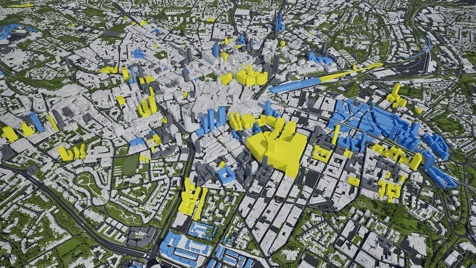
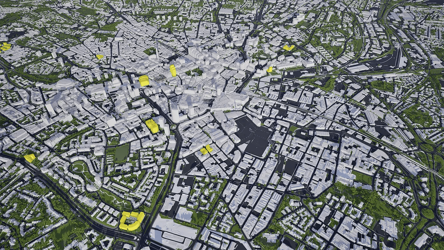
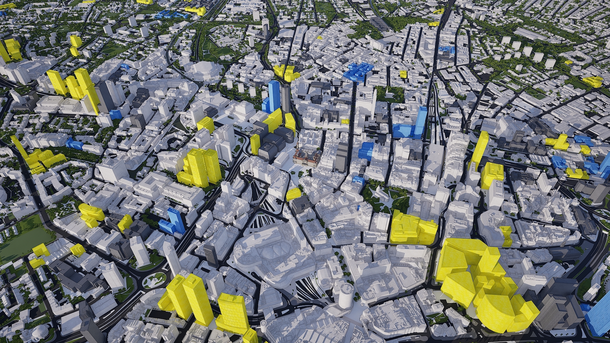
Birmingham consented timeline 2026 shown in VU.CITY Birmingham in 2016 Birmingham in 2026
Models. Data. Tools. All in one platform.

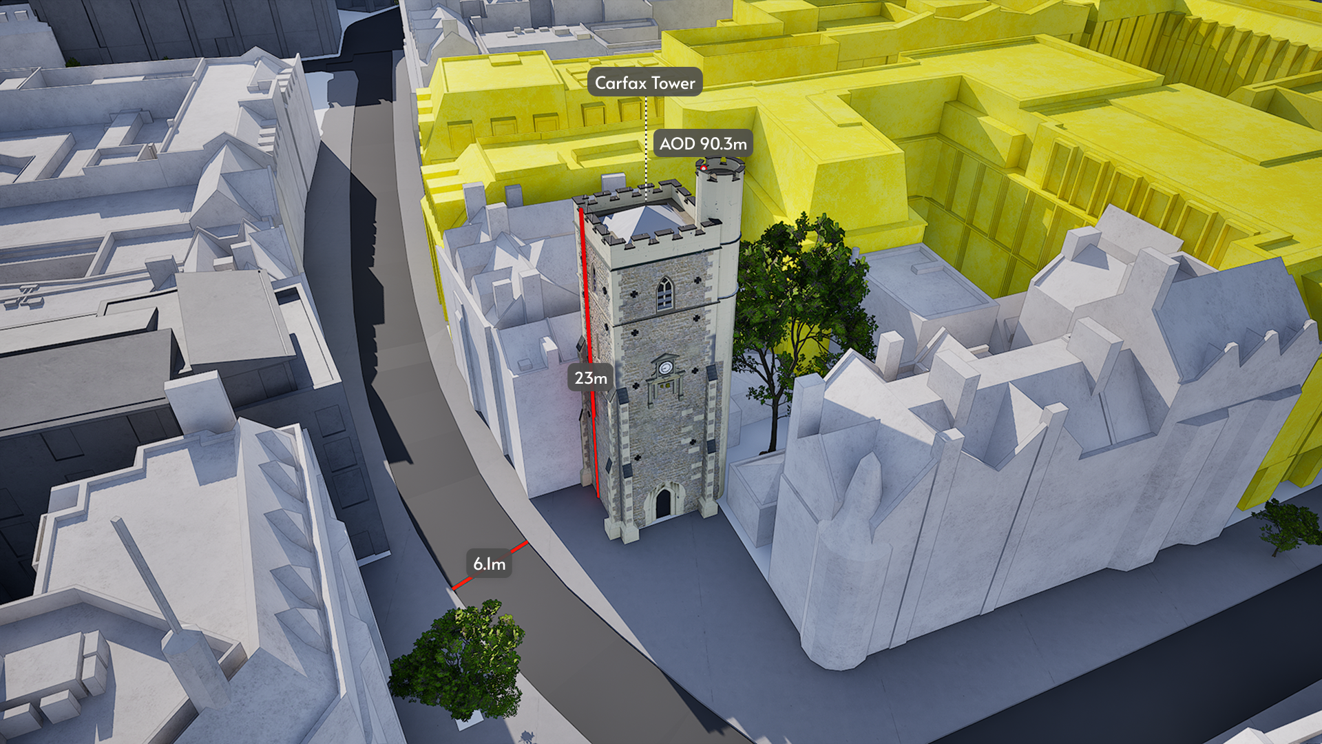
Oxford Carfax Accuracy

We provide the most accurate and detailed managed city models available. ±15cm for all buildings, trees and terrain.

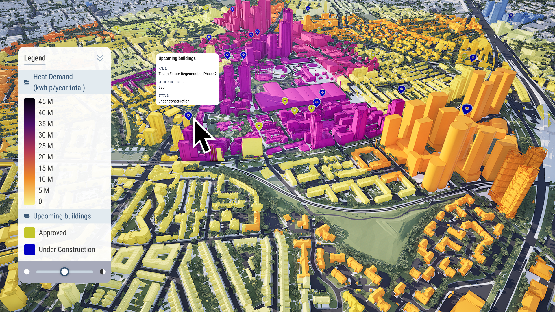
Developments + data

Our public data is available to all users. You can also import your own, private data for your projects. Visualise, analyse and filter large-scale data sets with ease.

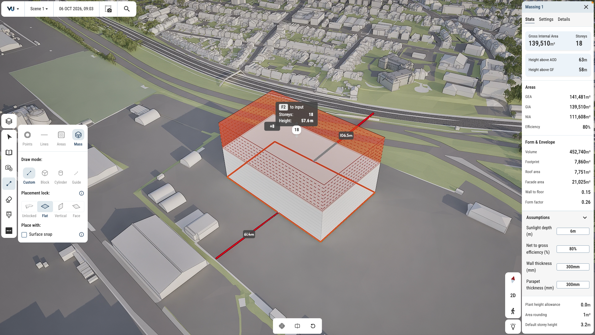
3D draw

Test and iterate ideas in survey-accurate context. Draw in 2D and 3D. Mark up plans and create maps with stakeholder-ready visual quality.

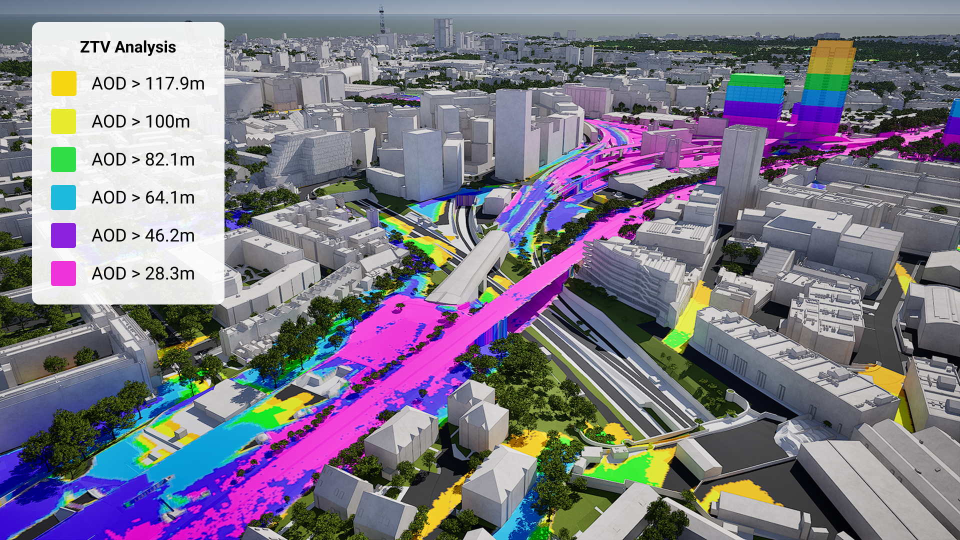
VU.CITY ZTV Analysis-1

Generate ZTV studies and viewsheds in just a few clicks. See sunlight paths and overshadowing instantly.

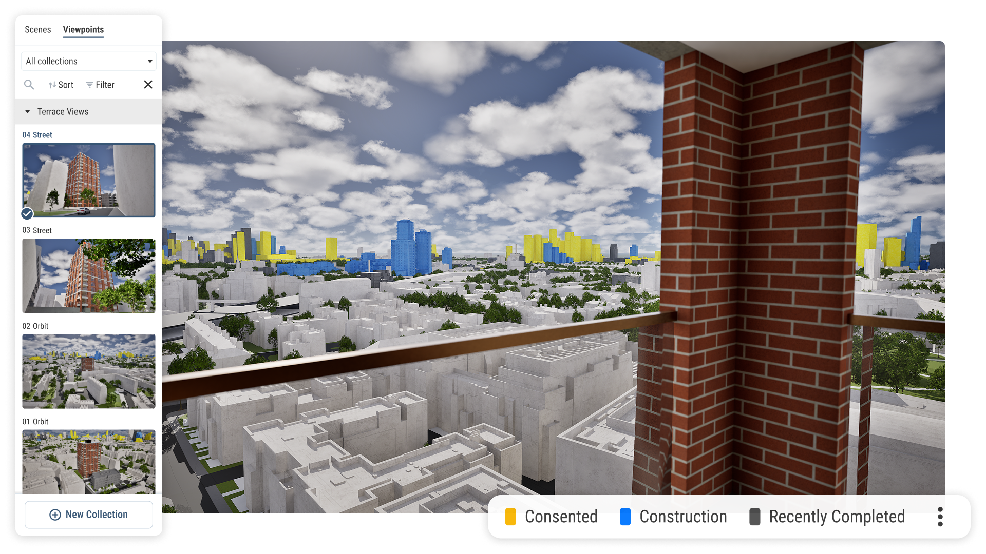
Visualise Real Estate assets and their views out in 4D

Create guided tours and presentations, export high quality imagery and share files with stakeholders for seamless collaboration and feedback.

GeometrySurvey-grade 3D city models
DataA public data library
Design toolsDraw, measure, annotate
Analysis toolsVisibility, sunlight and more
Presentation toolsTell your story, your way

Survey accurate Birmingham coverage

From the city centre to West Bromwich and beyond, our Birmingham 3D model is mapped to 15cm accuracy.

data-icon-white-2

Birmingham data layers for contextual viability

From transportation and zoning to environmental factors, VU.CITY Birmingham 3D model data layers provide essential insights for more informed and confident decision-making.

Amenities & Services

  • Local Important Buildings

  • Educational Establishments

  • GPs

  • Hospitals

  • Retail Boundaries

  • Supermarkets

Crime & Safety

  • Burglary

  • Drug Crime

  • Robbery

  • Shoplifting

  • Theft Crimes

Demographics & Economy

  • Annual Average

  • Income Per Household

  • Deprivation Index

  • House Prices

  • Population Density 

Energy & Utilities

  • Internet Speed

Environmental

  • Rail Noise
  • Road Noise
  • Flooding

Green Spaces & Open Areas

  • Greenspace Sites

Heritage & Conservation

  • Conservation Areas

  • Listed Buildings

  • Scheduled Monuments

Planning & Development

  • Brownfield Sites

  • Developments

Transport & Accessibility

  • Cycle Network

Hover over each card to see more

Explore VU.CITY's tools

VU.CITY-icon-Birmingham-light

VU.CITY Birmingham is the most accurate interactive 3D model of the city

With its population set to reach 1,240,000 by 2030, Birmingham is also England’s fastest growing city. Housing and commercial and transport development needs are rapidly increasing: with much of the city and surrounding urban areas underdeveloped, Birmingham is set to be a hot spot of activity.

Birmingham’s flagship projects include The Curzon Street Masterplan which outlines proposals for 141 hectares of regeneration envisioned to bring 36,000 new jobs, 4,000 new homes and 600,000 square metres of commercial development. The Smithfield Market redevelopment will also create a brand new innovative and sustainable city quarter with jobs, amenities and over 3,000 much-needed new homes. This 17-hectare development will anchor an expanded city centre, helping to accelerate a wider transformation of Birmingham and supporting long-term economic and social prosperity.

As Birmingham rapidly expands due to new developments like these and much-needed regeneration, the requirement for an open and transparent platform which can visualise and tell the story of this metropolitan giant’s reshaping is key. VU.CITY Birmingham is already meeting this by enabling all parties to see schemes in context – at a macro level and city-wide, to clearly understand where opportunities lie, such as for building densely. The implications of proposals for Birmingham can be readily and easily understood thanks to the platform’s data layers revealing a wealth of information about, for instance, locally- and statutory-listed buildings, tree preservation orders, and consented schemes.

Users of VU.CITY Birmingham include ADG, Sandwell Council, JLL, Iceni, Node and CityScape Digital who have already discovered the model’s many benefits, from being able to instantly understand and assess a site’s challenges and potential, to simplifying the planning application, or improving how everyone involved can collaborate in a simple, single platform.

Birmingham’s next chapter

Birmingham’s flagship regeneration projects are reshaping the city. The Curzon Street Masterplan sets out proposals for 141 hectares of regeneration around the new HS2 Curzon Street station, aiming to bring 36,000 new jobs, 4,000 new homes and 600,000 square metres of commercial space. The Smithfield redevelopment will create a new city quarter on the site of the former wholesale markets, with jobs, amenities and over 3,000 new homes across 17 hectares, anchoring an expanded city centre.

With VU.CITY Birmingham, you can see approved and under-construction schemes in context and test how your own plans will sit alongside them.


VU.CITY Birmingham FAQs

Here are some frequently asked questions about VU.CITY's Birmingham 3D Digital Twin and Model 

How does the VU.CITY Birmingham model support large-scale development projects?

VU.CITY Birmingham lets you visualise the impact of new developments across the city’s key growth areas, such as Curzon Street, Smithfield and Eastside. Massing, sunlight and view tools help you align projects with the city’s strategic growth goals.

Can I test different design and massing options within the Birmingham 3D model?

Yes. VU.CITY Birmingham lets you import or draw several massing and design options and compare them in survey-accurate context, checking height, density, daylight and sunlight before you commit.

How can the VU.CITY Birmingham model enhance engagement with stakeholders and the community?

VU.CITY Birmingham creates interactive tours and high-quality imagery that make proposals easy for anyone to understand, helping residents, councillors and clients see a scheme’s impact and benefits clearly.

What environmental and regulatory data layers are available in the Birmingham model?

The Birmingham 3D model includes 36 data layers, including listed buildings, tree preservation orders and consented schemes, alongside environmental and transport data. You can also bring in your own data and view it alongside ours.

Who benefits from using the VU.CITY Birmingham model?

VU.CITY Birmingham is built for built environment professionals, from architects and planners to developers, local authorities, asset managers and real estate teams working across Birmingham and the West Midlands.

Explore digital 3D geospatial solutions for the built environment

VU.CITY provides clear, powerful tools for key decision-makers across the built environment, helping them visualise and shape the future of cities with confidence and precision.

Make smarter decisions with data-driven insights, from infrastructure to sustainability.

Unlock the power of Generative AI for optimal design and streamlined decision-making.

Bring your designs to 3D life with state-of-the-art modelling tools.

Licence any VU.CITY city and design, test and present your project in its real context.

Utilise advanced 3D models and a data-driven approach with our flexible ZTV service.

Showcase your proposal in its real-world context with compelling, easy-to-understand flythroughs.
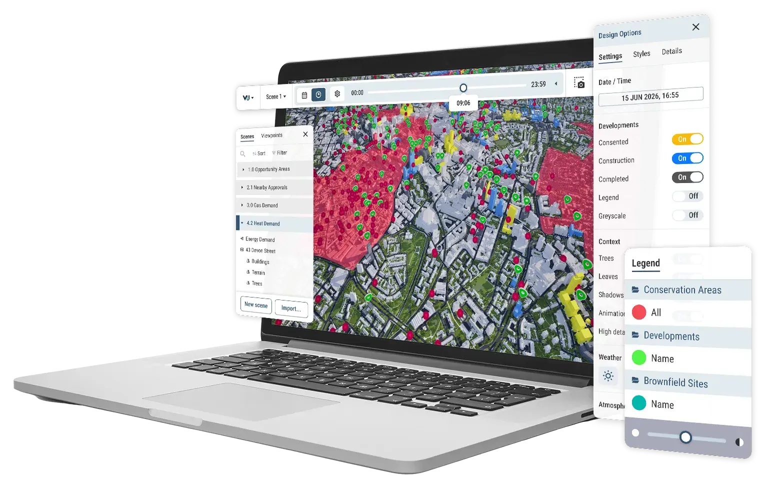
VU.CITY on a laptop showing scene manager, consented timeline, point and area data