


Cardiff 3D Model
More confident design and planning with Cardiff’s digital twin
Explore, plan, analyse and present your work on a survey-accurate 3D model of Cardiff, including approved and under-construction buildings. Use rich data layers to assess site potential, spot constraints early and reduce project risk, all in one digital twin your whole team can work in.
-
29DATA LAYERS
-
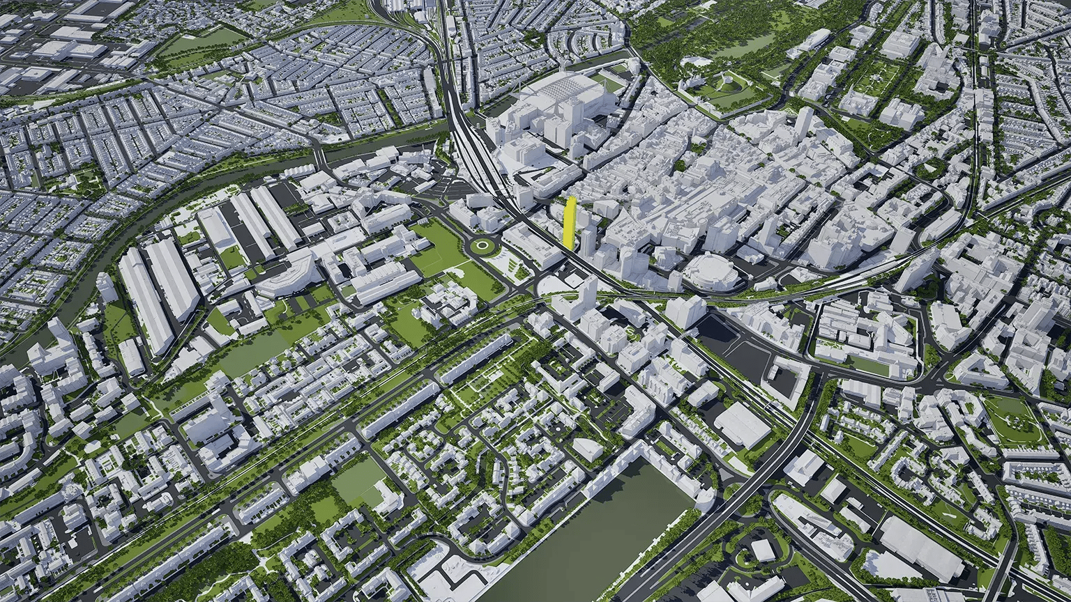
38 sq kmMODELLED TO 15CM ACCURACY
-
15Consents approved
-
143,948TREES, ACCURATE HEIGHT AND CANOPY
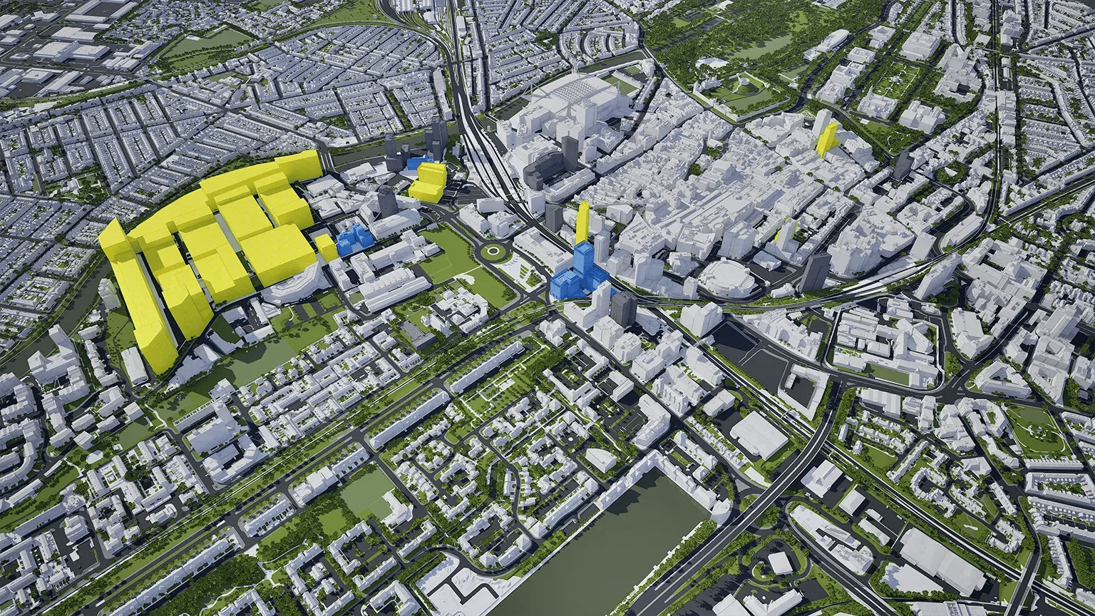
See Cardiff's past, present & future in VU.CITY
Models. Data. Tools. All in one platform.
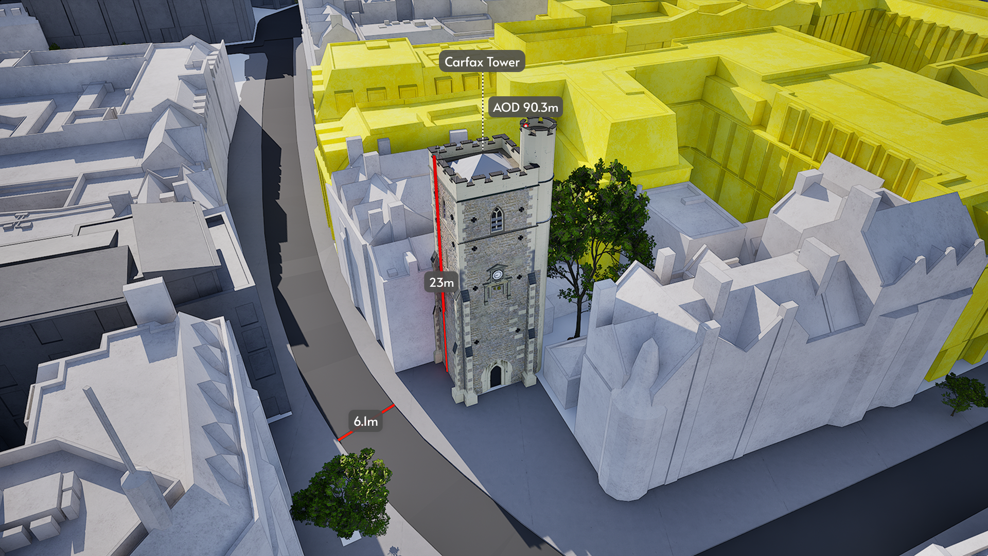
We provide the most accurate and detailed managed city models available. ±15cm for all buildings, trees and terrain.
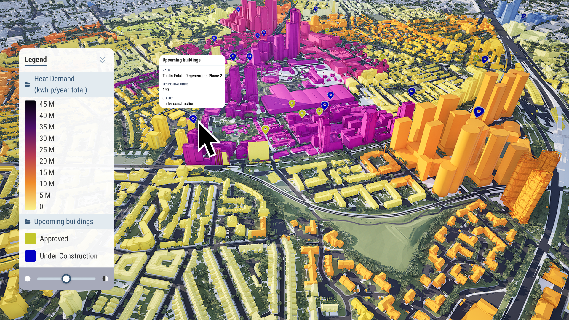
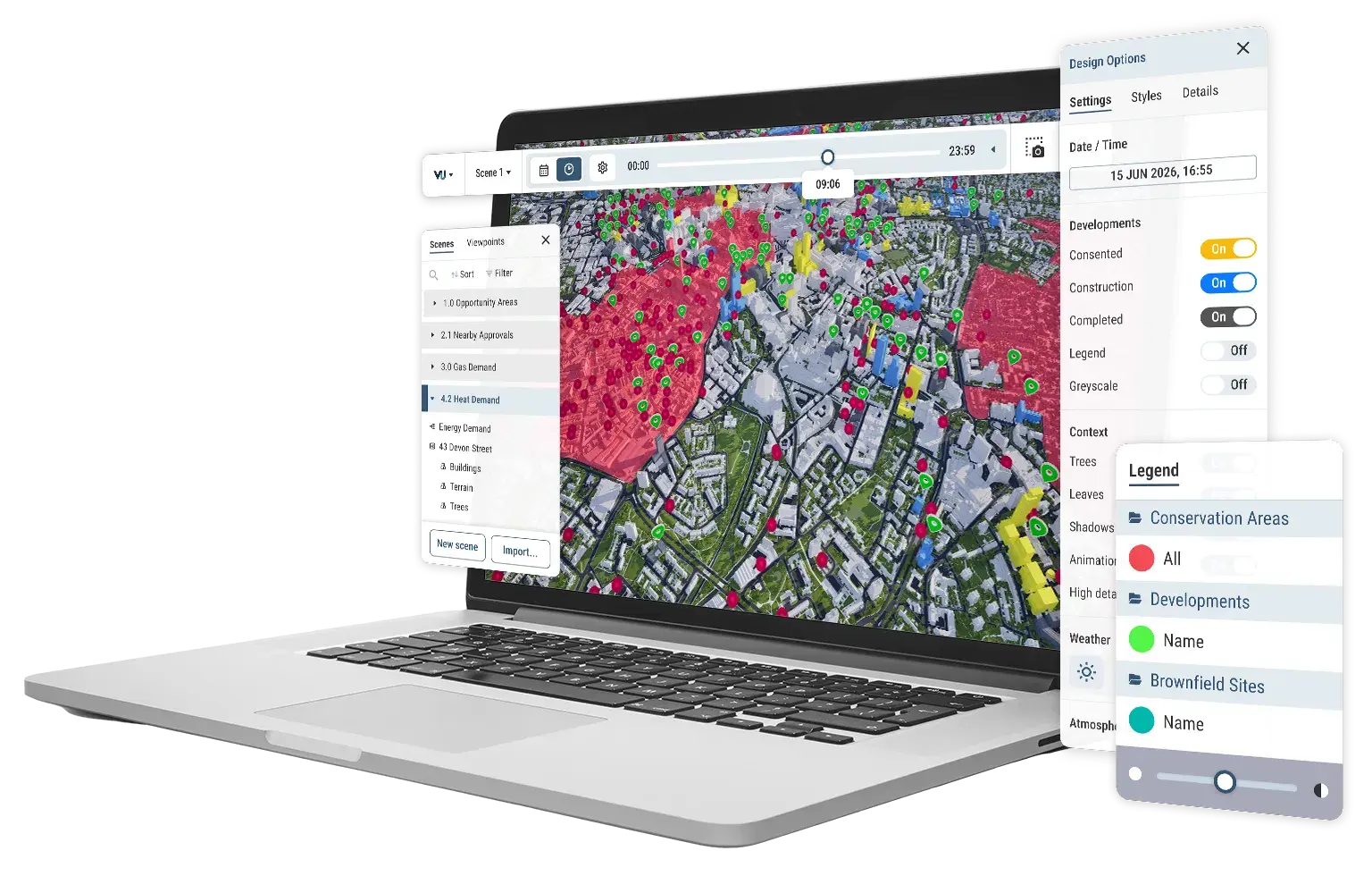
Our public data is available to all users. You can also import your own, private data for your projects. Visualise, analyse and filter large-scale data sets with ease.
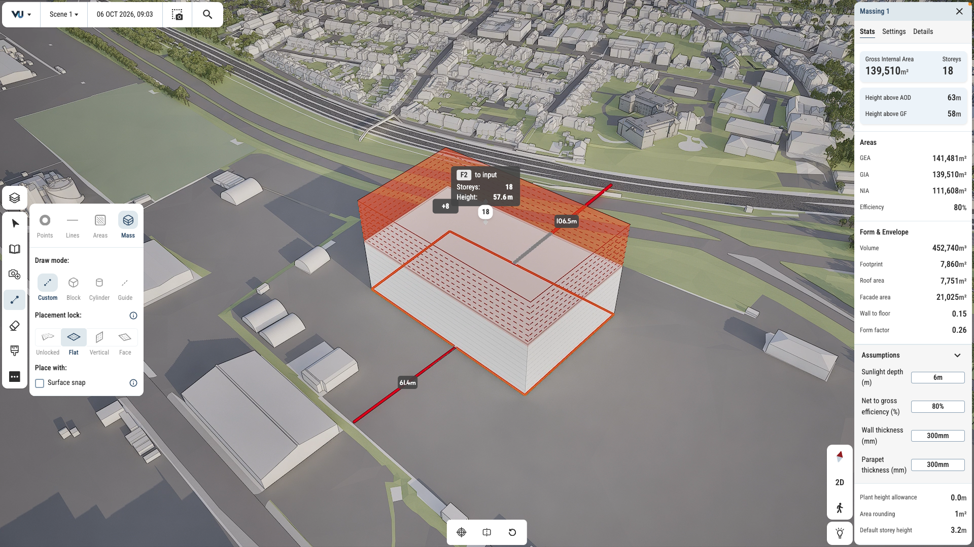
Test and iterate ideas in survey-accurate context. Draw in 2D and 3D. Mark up plans and create maps with stakeholder-ready visual quality.
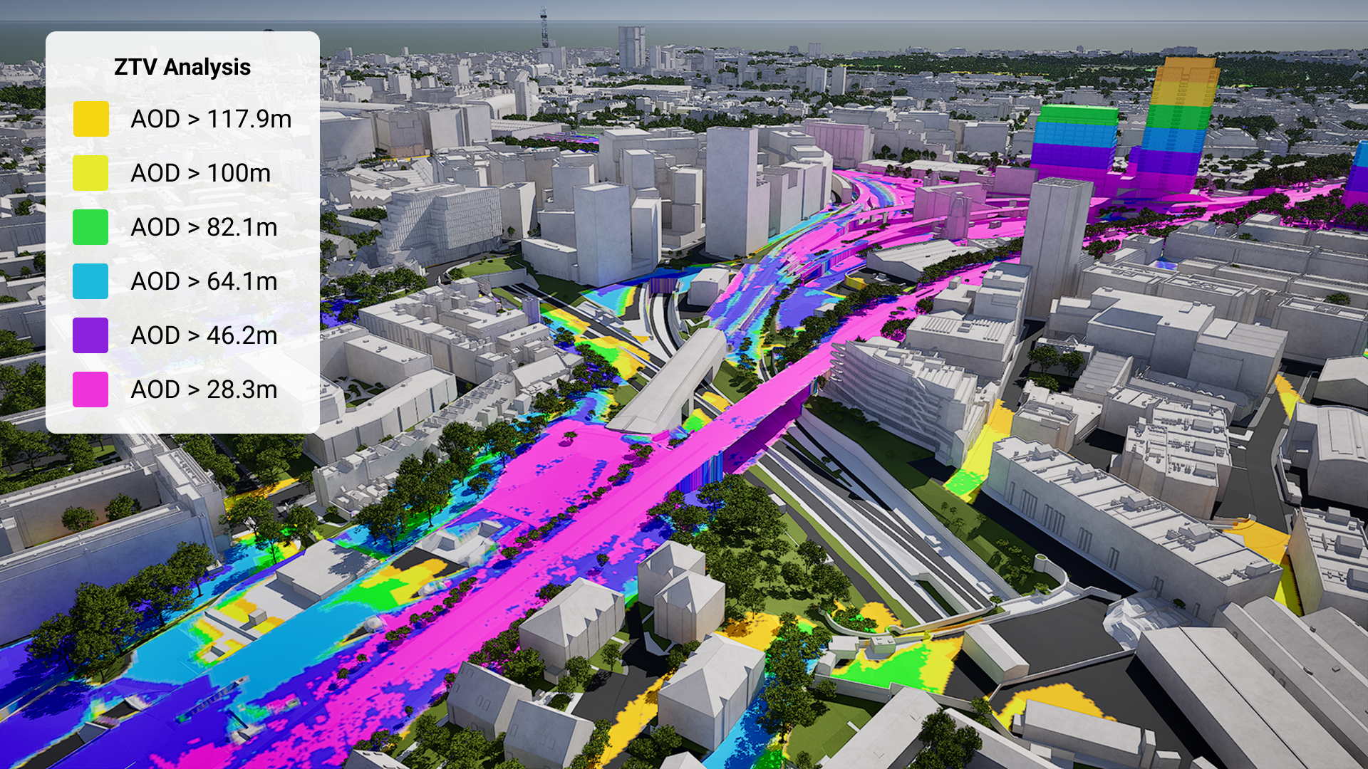
Generate ZTV studies and viewsheds in just a few clicks. See sunlight paths and overshadowing instantly.
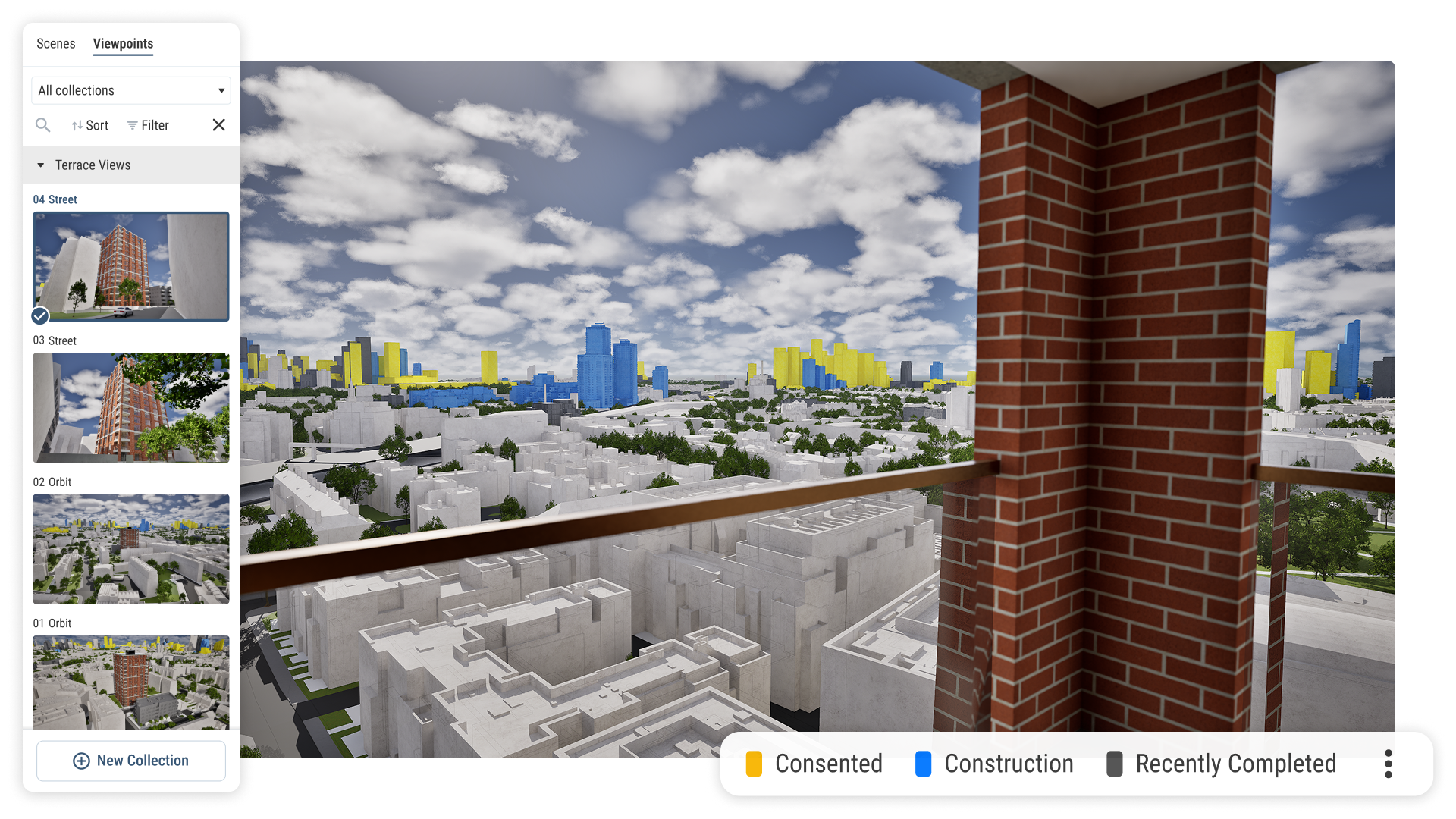
Create guided tours and presentations, export high quality imagery and share files with stakeholders for seamless collaboration and feedback.
Survey accurate Cardiff coverage
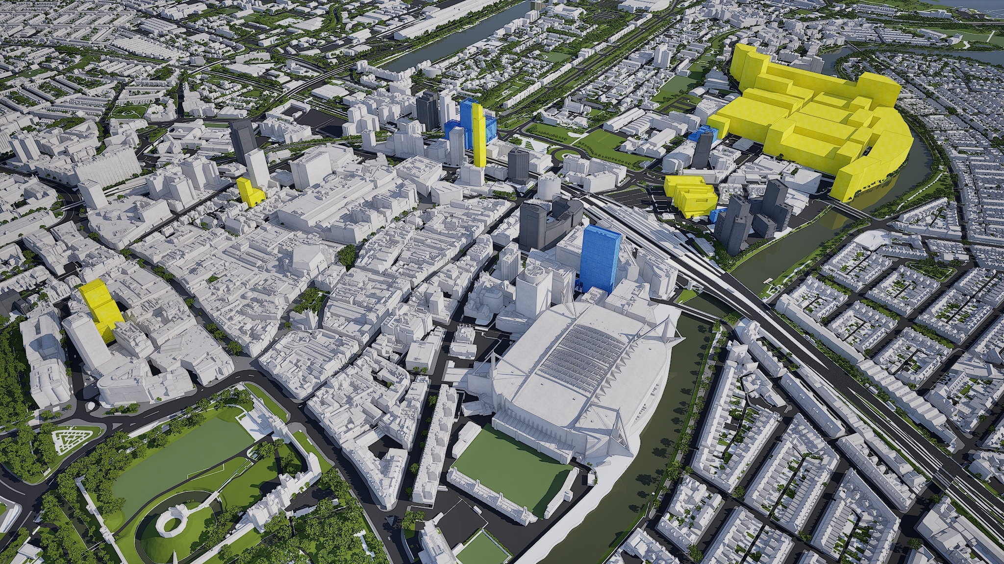
From the city centre to Cardiff Bay, our Cardiff 3D model is mapped to 15cm accuracy.
Cardiff data layers for contextual viability
From transportation and zoning to environmental factors, VU.CITY Cardiff 3D model data layers provide essential insights for more informed and confident decision-making.
Administrative Boundaries
-
Local authority districts
Amenities & Services
-
Educational Establishments
-
Retail Boundaries
-
Supermarkets
Demographics & Economy
-
Average annual income
-
Deprivation index
-
House prices
Energy & Utilities
- Internet Speed
Environmental
-
Air Quality Management Areas
-
Areas benefitting from flood defences
-
Flood defences
-
Flood warning areas
-
Recorded flood outlines
-
Nature reserves
-
Sites of Special Scientific Interest
-
Special Areas of Conservation
-
Special Protection Areas
Green Spaces & Open Areas
-
Open green spaces
Heritage & Conservation
-
Conservation Areas
-
Scheduled Monuments
Planning & Development
-
Developments
- Authorised Landfill Sites
Transport & Accessibility
-
National Cycle Network
Hover over each card to see more
VU.CITY Cardiff is the largest and most accurate interactive 3D model available
Cardiff is one of the UK’s fastest growing cities with a leisure and tourism sector that generates significant economic and cultural benefits.
Cardiff’s Replacement Local Development Plan 2021 to 2036 aims to benefit communities and the economy, and sets out which areas need to be protected. Supporting a vibrant, mixed-use city centre and regenerating Cardiff Bay as a high-density, mixed-use destination are key priorities.
Cardiff has around 1,000 listed buildings, so understanding development opportunities and constraints early is vital. VU.CITY’s data layers help inform local policy and avoid unwanted hurdles, costs and delays for everyone.
Cardiff’s population is growing fast, with a long waiting list for housing: the City Council recognises the need to work out the right number, type and location of homes to be built. As Cardiff continues to grow, new infrastructure will also be needed alongside the new homes and jobs. VU.CITY’s 3D platform makes it simple for developers and architects to check for approved schemes and evaluate the likelihood of getting planning approval in the future for proposals.
To create a greener city, the council is progressing strategies including One Planet Cardiff, Clean Air Cardiff and its Transport White Paper. A shared digital platform helps every stakeholder work towards the best possible solutions for Cardiff.
Cardiff’s next chapter
Cardiff Bay is set for its biggest transformation in decades. The Atlantic Wharf masterplan is bringing a new 16,500-capacity indoor arena, due to open in 2028, alongside new homes, hotels, offices and public space, with the Cardiff Bay railway line being upgraded to serve it.
Users of VU.CITY Cardiff are using the model’s many benefits, from being able to understand and assess a site’s opportunities and challenges, testing refined designs in context, enhancing pre-app conversations and planning submissions, to improving how everyone involved collaborates.
VU.CITY Cardiff FAQs
Here are some frequently asked questions about VU.CITY's Cardiff 3D Digital Twin and Model.
How can the VU.CITY Cardiff model help with visualising the impact of new developments on Cardiff’s skyline?
The model offers tools like the Zone of Theoretical Visibility (ZTV) and camera views, which help users understand how new buildings will affect the Cardiff skyline, including views from key vantage points and conservation areas.
What types of projects are best suited for planning within the VU.CITY Cardiff model?
The Cardiff model is ideal for various projects, from residential and commercial developments to public infrastructure. It provides insights into environmental impacts, compliance with local planning policies, and fit within Cardiff’s diverse urban and historic contexts.
Can the Cardiff model support environmental and sustainability assessments?
Yes, the model includes features like sunlight and shadow analysis, flood risk zones, and green space mapping. These tools support environmentally conscious planning by helping users assess how a project interacts with Cardiff’s natural and built environments.
How can the VU.CITY Cardiff model assist in community engagement and project presentations?
The model allows users to create realistic visuals of proposed developments, which can be shared with local communities and stakeholders. This helps communicate design intentions clearly, encouraging feedback and building public understanding.
What data layers are available in the Cardiff model to assist with planning compliance?
The Cardiff model includes data layers such as conservation zones, flood risk areas, and local development plans. These layers help planners ensure that new projects comply with Cardiff’s regulatory requirements and fit the city’s long-term growth strategies.
Explore digital 3D geospatial solutions for the built environment
VU.CITY provides clear, powerful tools for key decision-makers across the built environment, helping them visualise and shape the future of cities with confidence and precision.

Licence any VU.CITY city and design, test and present your project in its real context.

Coverage across 26 UK & International cities