

Spatial storytelling, for everyone.

The next generation of VU.CITY is here, where the physical world become your 4D, data-driven canvas. 

Our new platform combines survey-accurate 4D maps with AI, data and intelligence to offer a powerful, collaborate workspace.

We believe everyone should have access to the information and tools they need to effectively visualise, understand and communicate their ideas.

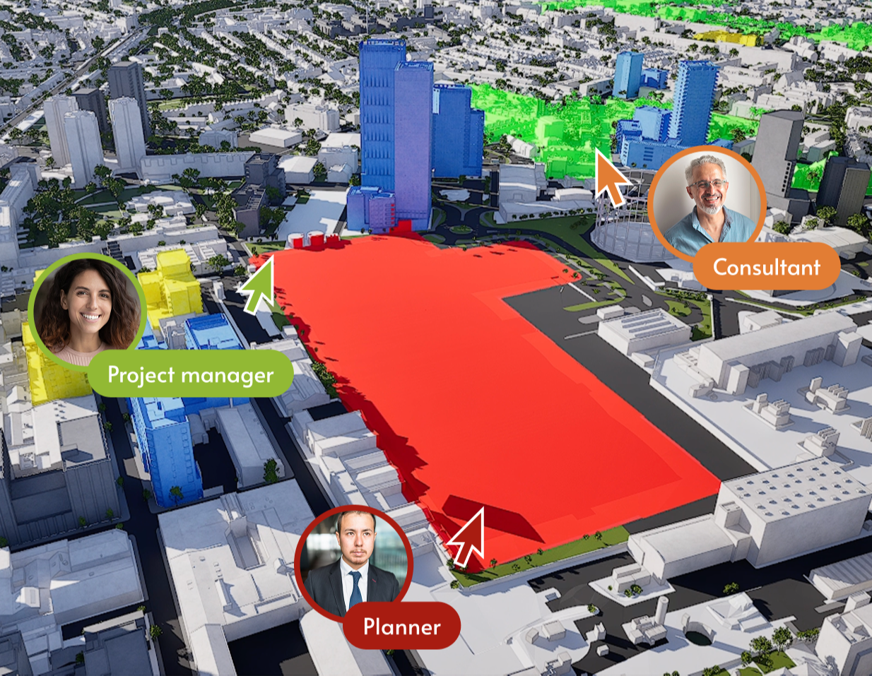
In VU.CITY, anyone can view places. Anyone can overlay and analyse data. Anyone can collaborate with stakeholders. Anyone can deliver immersive presentations and anyone can create high-quality imagery.

This is VU.CITY. This is spatial storytelling, for everyone.

What can you do with VU.CITY?

Visualise

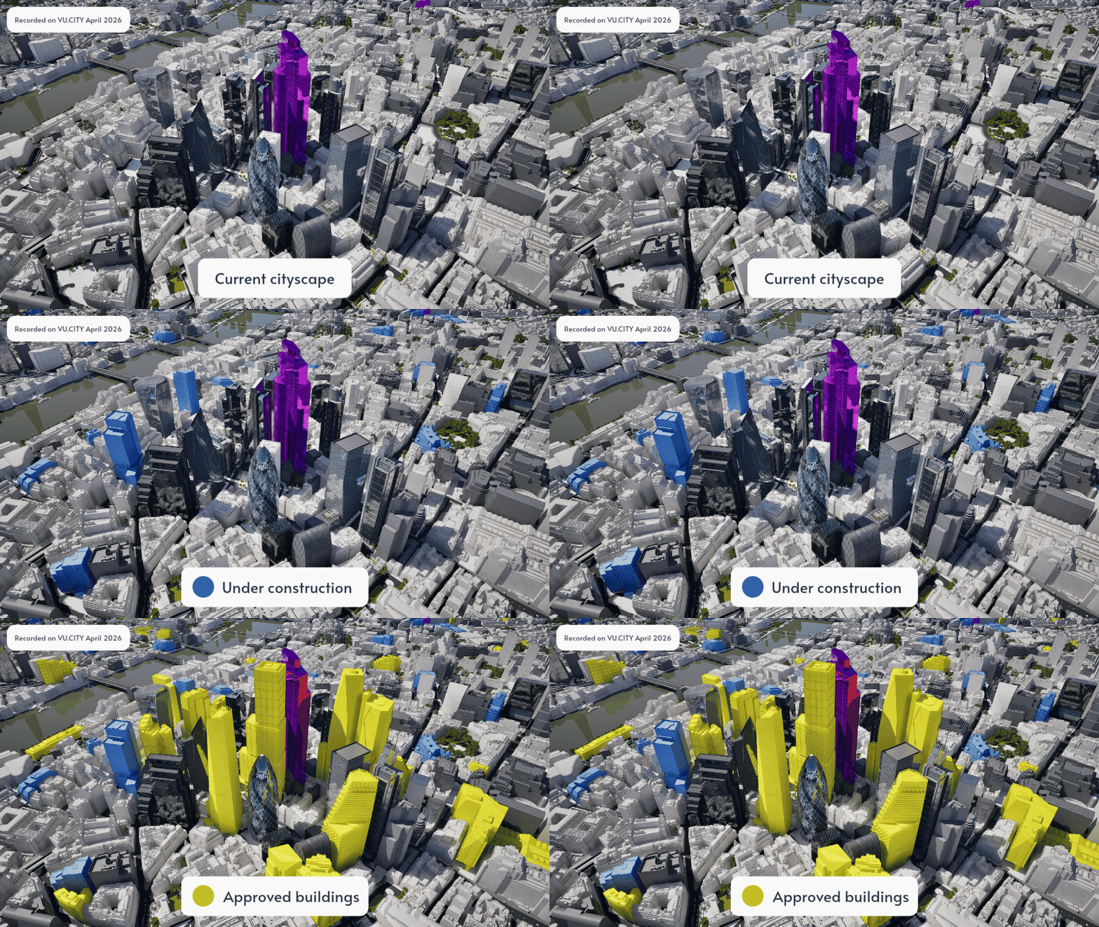
Explore places across the past, present and future.

View specific rooms up to entire cities. All on survey-accurate, fully editable 2D, 3D and 4D maps.

Upload and view your own objects in context. See how your idea changes the physical world. 

VU.CITY Consented Timeline
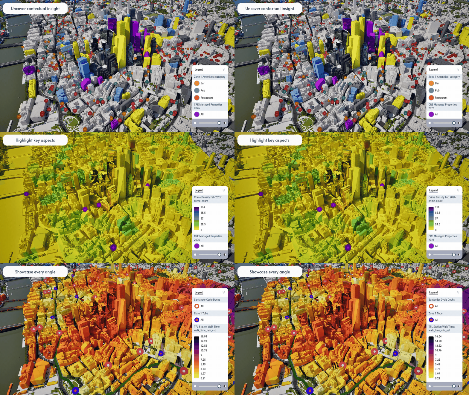
VU.CITY Data Visualisation

Understand

This is where data meets real-world context.

Combine any data you have with our public library to discover opportunities, uncover risks and identify solutions.

See consultant studies and findings quicker. Track trends and forecast outcomes using time-series data. 

Communicate

Share plans, proposals and stories in a way anyone can grasp.

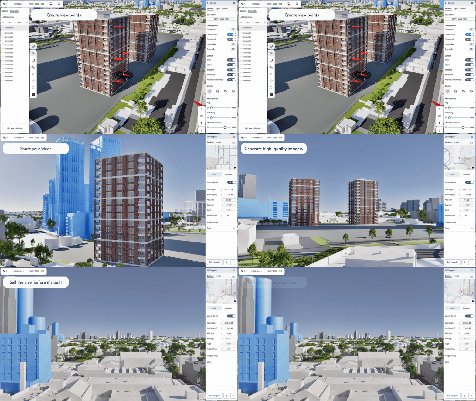
Deliver interactive tours and presentations. Generate high-quality, compelling imagery in a couple of clicks.

Bring your vision to life for any audience.

VU.CITY Viewpoints Tool

Streamlined workflows with your AI assistant

Analyse data in seconds using VU.CITY Data Lab.

Get early access to VU.CITY