


Belfast 3D Model
Smarter spatial decisions with Belfast’s 3D digital twin
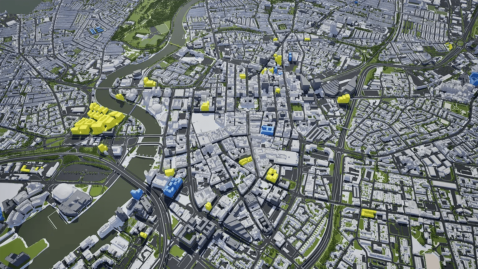
Explore, plan, analyse and present your work on a survey-accurate 3D model of Belfast, including approved and under-construction buildings. Use rich data layers to assess site potential, spot constraints early and reduce project risk, all in one digital twin your whole team can work in.
Trusted by Belfast City Council. Built for built environment professionals, from architects and planners to developers and asset managers.
-
39DATA LAYERS
-
57.39 sq kmMODELLED TO 15CM ACCURACY
-
9HIGH DETAIL BUILDINGS
-
158Consents approved
-
262,835TREES, ACCURATE HEIGHT AND CANOPY
See Belfast's past, present & future in VU.CITY
Models. Data. Tools. All in one platform.
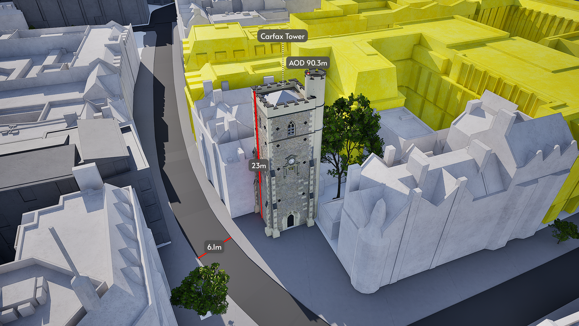
We provide the most accurate and detailed managed city models available. ±15cm for all buildings, trees and terrain.
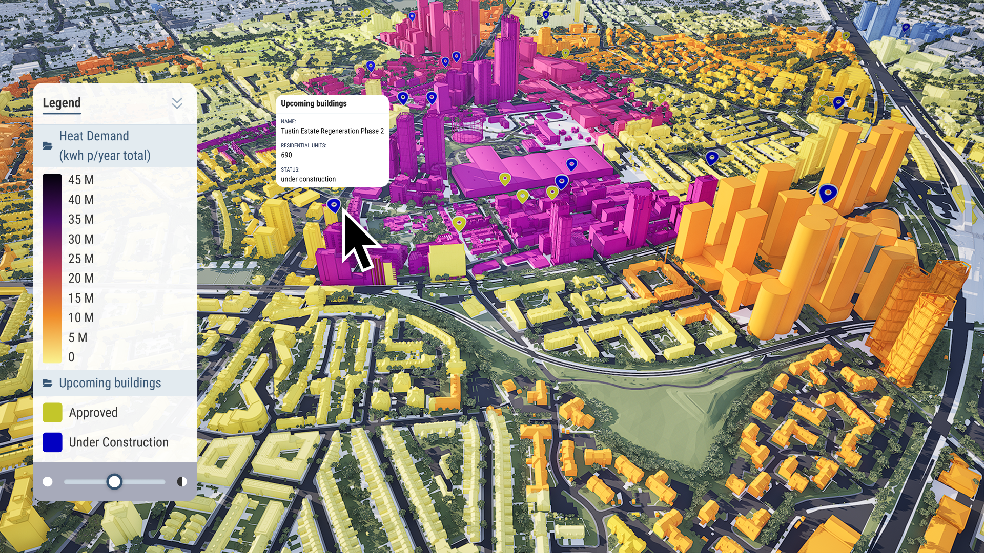
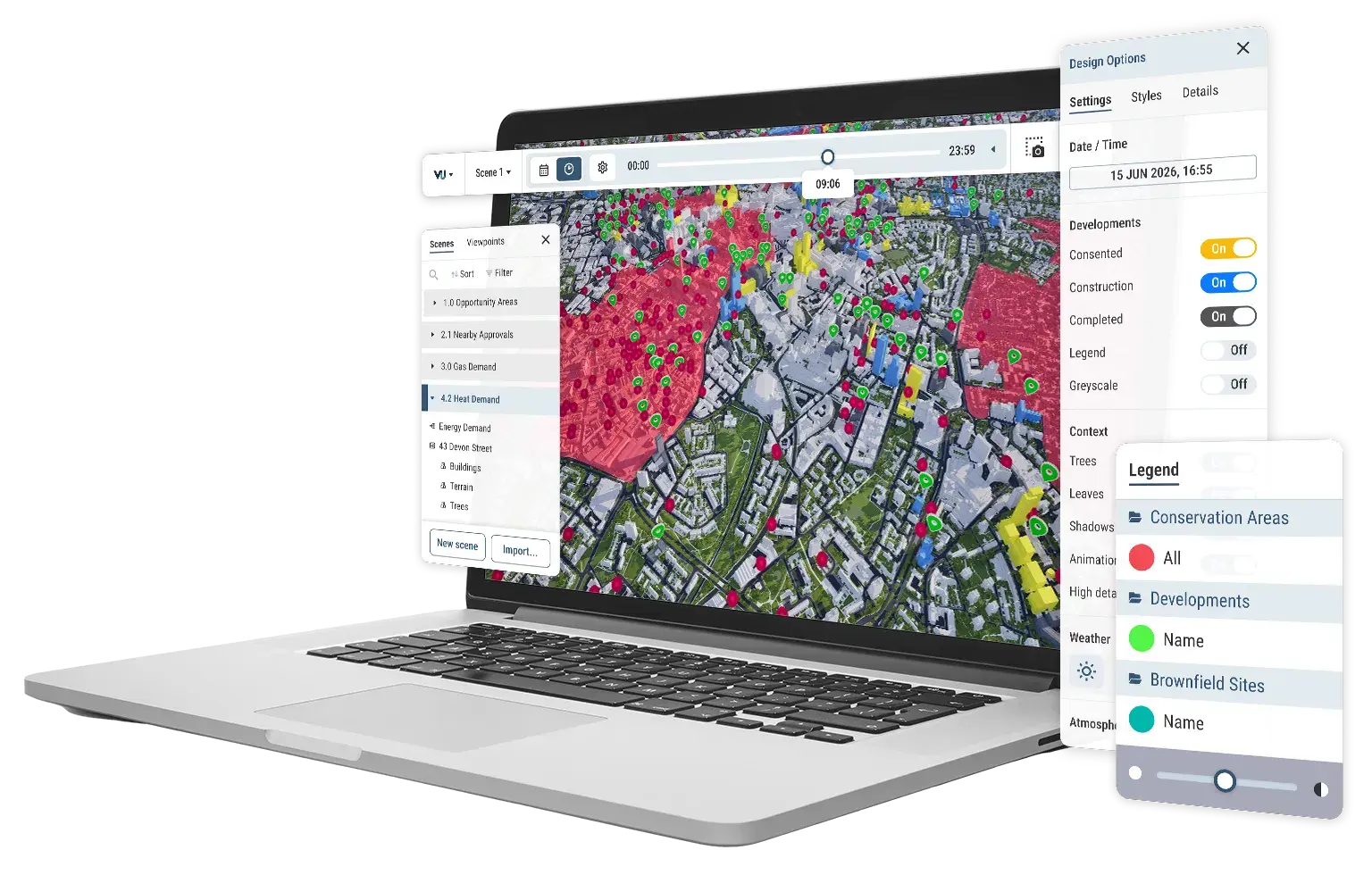
Our public data is available to all users. You can also import your own, private data for your projects. Visualise, analyse and filter large-scale data sets with ease.
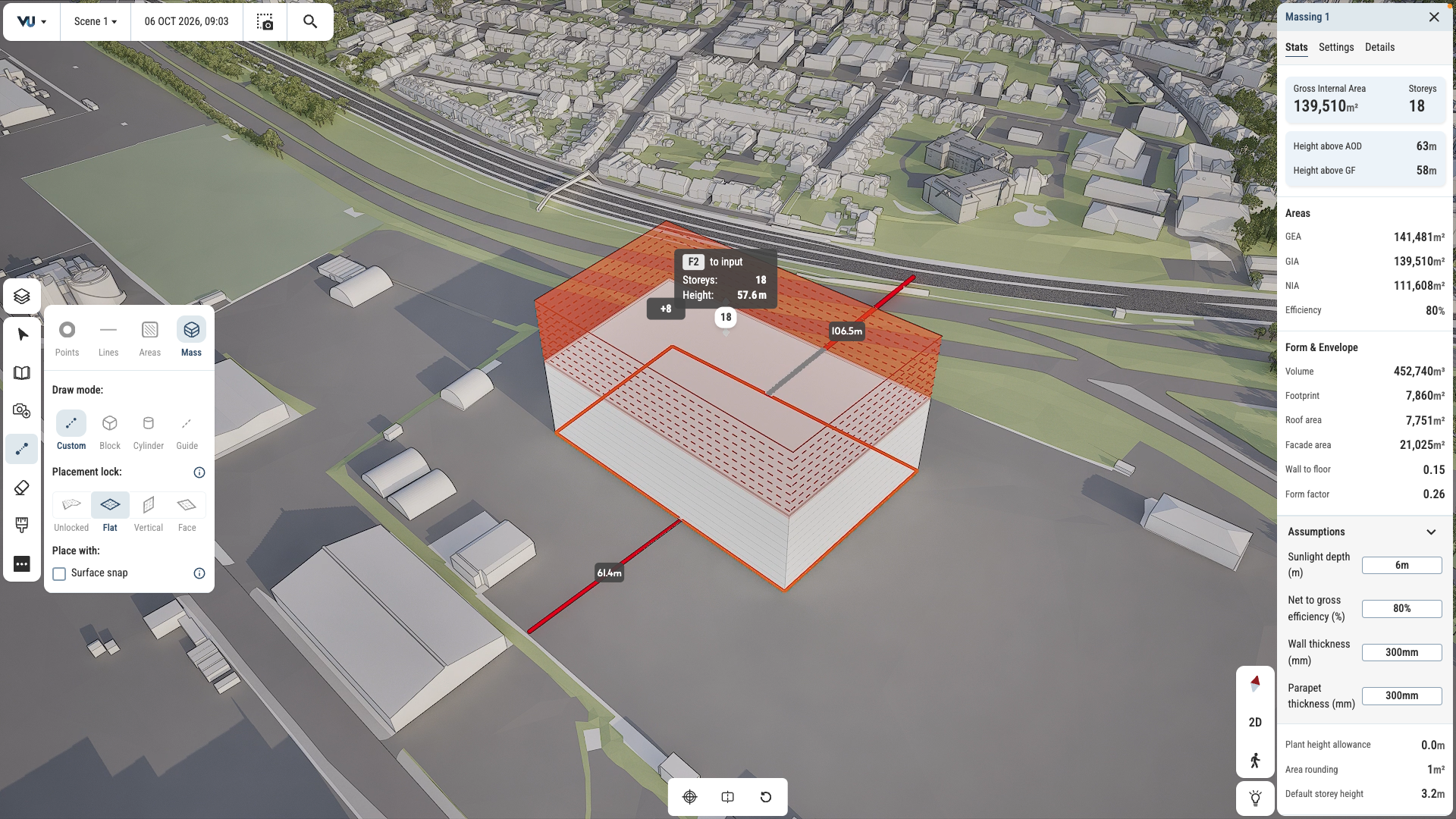
Test and iterate ideas in survey-accurate context. Draw in 2D and 3D. Mark up plans and create maps with stakeholder-ready visual quality.
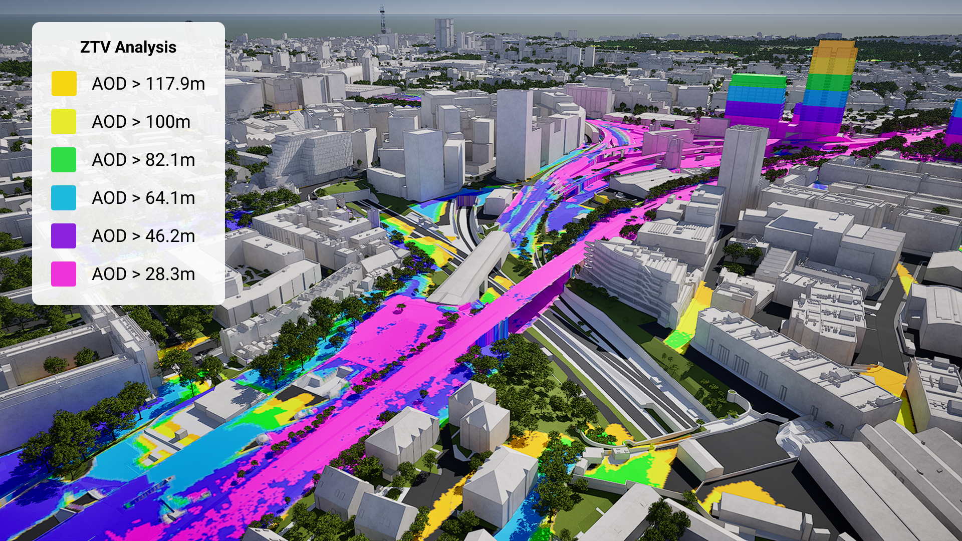
Generate ZTV studies and viewsheds in just a few clicks. See sunlight paths and overshadowing instantly.
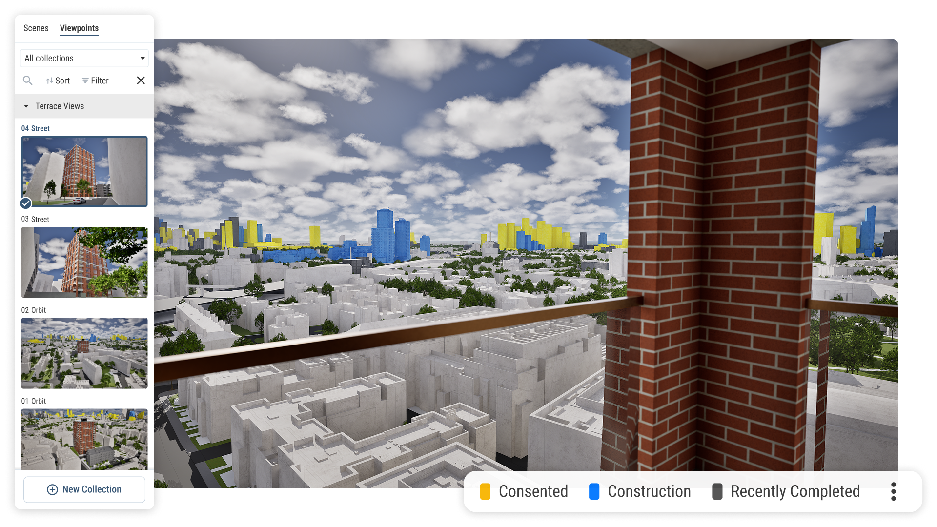
Create guided tours and presentations, export high quality imagery and share files with stakeholders for seamless collaboration and feedback.
Government-trusted Belfast coverage
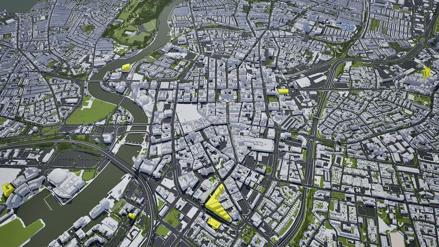
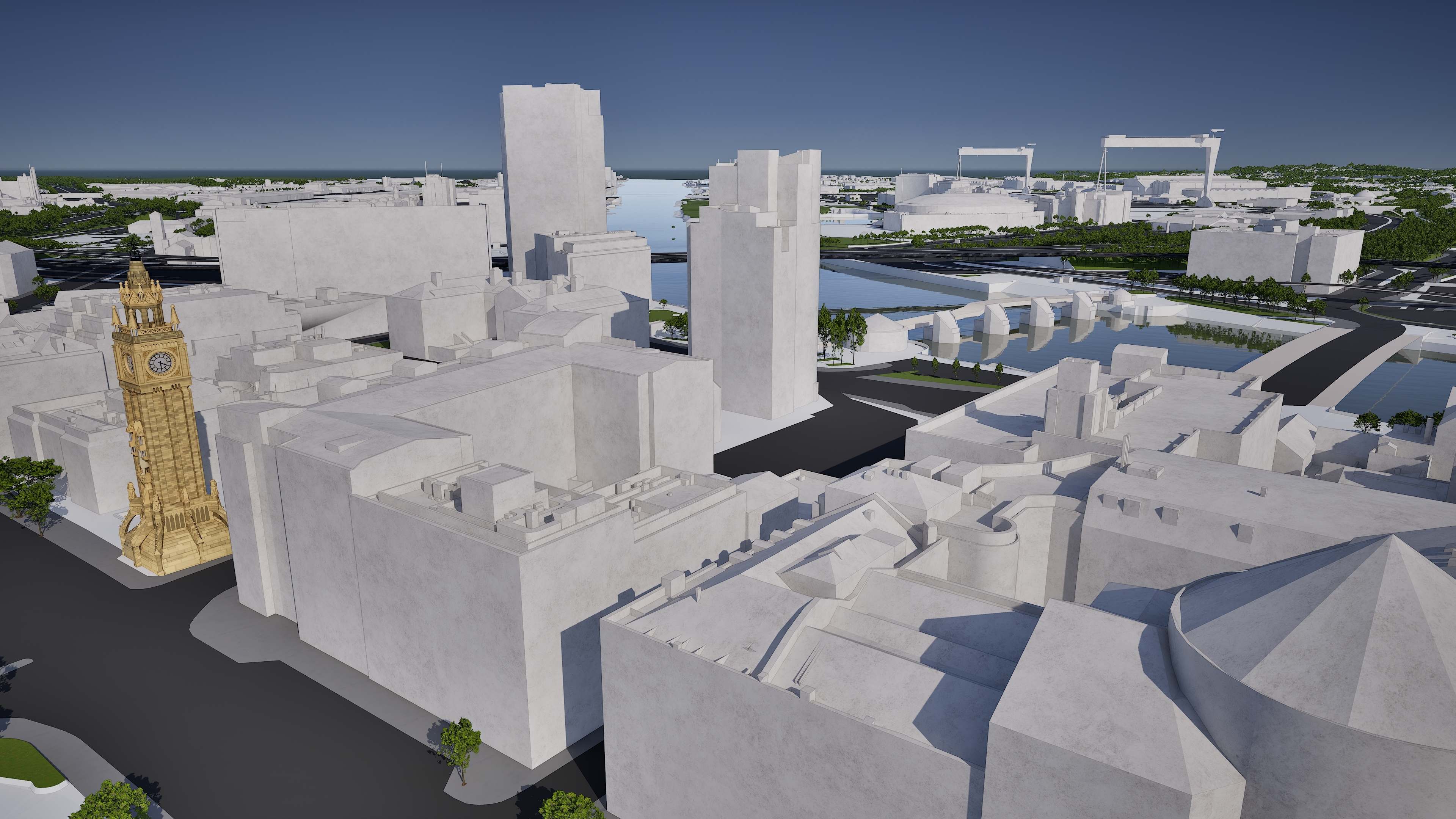
From the city centre to Titanic Quarter and the harbour, our Belfast 3D model is mapped to 15cm accuracy.
Belfast data layers for contextual viability
From planning and heritage to transport and amenities, the data layers in our Belfast digital twin give you the context to make confident decisions.
Administrative Boundaries
-
Local authority districts
Amenities & Services
-
Retail boundaries
-
Supermarkets
Heritage & Conservation
- Listed Buildings
Planning & Development
-
Deprivation index
Transport & Accessibility
-
Cycle routes
-
National Cycle Network
Hover over each card to see more
VU.CITY Belfast is the largest and most accurate interactive 3D model available
VU.CITY Belfast: a 3D city model for a city on the move
With cranes dotted across the skyline and new buildings rising fast, Belfast is a city with an ever-changing landscape. It has become an incredibly attractive place to invest, and is ranked as one of the top cities to live, work and play in. VU.CITY is proud to be heavily involved in Belfast’s innovative growth.
Frameworks such as Belfast City Council’s ‘Smart Belfast’: the catalyst for sweeping change as developers look to redevelop key areas such as Weavers Cross, Titanic Quarter, Belfast Harbour, Giants Park, Gasworks, Tribeca, with social housing high on the housing executive agenda.
VU.CITY Belfast plays a crucial role in the regeneration of Northern Ireland’s capital. Rich data, including listed buildings, conservation areas and the Local Development Plan, helps inform the best design and planning decisions. Air Quality Management Areas have also been mapped as part of Belfast City Council’s ambition to become net zero, and we’ve included them in the platform alongside other local environmental and socio-economic data.
Belfast City Council is a huge advocate of VU.CITY, as a key tool in shaping the city by supporting planning officers in understanding change with pre-app conversations and the planning approval process.
VU.CITY Belfast licence holders, such as RPP Architects, ARUP, John McAslan + Partners, Juno Planning, Todd Architects, Like Architects and MRL Architects have found the platform and its features beneficial to look at feasibility, review designs in urban context, to aid with master planning as well as having transparent discussions with stakeholders and planning bodies.
Belfast has determined that the key to the post-pandemic success will be innovation. The new partnership, Innovation City Belfast, brings together Belfast City Council, Belfast Harbour, Catalyst, Queen’s University and Ulster University, with Invest Northern Ireland as an advisory partner. They are committed to delivering an ambitious long-term plan that will establish Belfast as a globally significant destination for innovation and VU.CITY will be integral to this framework to visualise Belfast incredible change.
Belfast’s next chapter
Belfast’s regeneration is gathering pace. Belfast Grand Central Station, the largest integrated transport hub on the island of Ireland, opened in 2024 and now anchors Weavers Cross, a new mixed-use city centre neighbourhood. On the waterfront, City Quays and Titanic Quarter continue to grow, while Belfast Stories will bring a major new visitor destination to the edge of the Cathedral Quarter.
The Innovation City Belfast partnership brings together Belfast City Council, Belfast Harbour, Catalyst, Queen’s University and Ulster University, with Invest Northern Ireland as an advisory partner. Together, they’re delivering an ambitious long-term plan to make Belfast a globally significant destination for innovation, and VU.CITY helps visualise the city’s incredible change.
With VU.CITY Belfast, you can see approved and under-construction schemes in context and test how your own plans will sit alongside them.
Built environment professionals, from architects and planners to developers and asset managers, use VU.CITY Belfast to assess feasibility, review designs in urban context, support masterplanning and have transparent discussions with stakeholders and planning bodies.
VU.CITY Belfast FAQs
Here are some frequently asked questions about VU.CITY's Belfast 3D Digital Twin and Model
What is VU.CITY Belfast, and how does it support 3D city modelling?
VU.CITY Belfast provides a highly detailed 3D model of Belfast, allowing planners, architects, and developers to visualise projects in the context of the city's environment. This technology supports more efficient planning, better decision-making, and enhanced project collaboration.
How can VU.CITY Belfast assist with planning permission and urban development?
VU.CITY Belfast helps streamline planning applications by providing a clear, visual understanding of how projects integrate within Belfast’s zoning laws and urban design framework. It also supports developers and councils in meeting planning requirements efficiently.
What data layers are available in the VU.CITY Belfast model?
VU.CITY Belfast includes data layers for environmental impacts, heritage sites, transportation networks, building heights, and land use, providing in-depth insights for informed urban planning and sustainable development.
Why is 3D modelling important for urban planning in Belfast?
Belfast is changing fast, with major schemes such as Weavers Cross and Titanic Quarter reshaping the city. A survey-accurate 3D model lets you test how new development affects views, heritage and neighbouring buildings, and see the city’s future before it’s built.
How can VU.CITY Belfast improve public consultation and community engagement?
VU.CITY Belfast creates interactive tours and high-quality imagery that make proposals easy for anyone to understand, helping residents and communities see a scheme’s impact and benefits during consultation.
Explore digital 3D geospatial solutions for the built environment
VU.CITY provides clear, powerful tools for key decision-makers across the built environment, helping them visualise and shape the future of cities with confidence and precision.

Licence any VU.CITY city and design, test and present your project in its real context.

Coverage across 26 UK & International cities