


Southend-on-Sea 3D Model
Design and plan with precision using Southend-on-Sea’s leading digital twin
Minimise project risks with VU.CITY's Southend-on-Sea 3D Model: rich data layers help lower design and planning uncertainty, highlight potential impacts, and accelerate key decision-making, with an accurate, intuitive 3D digital twin platform that enables smooth collaboration among all stakeholders, smarter decisions, and greater planning success in the built environment.
-
30DATA LAYERS
-
7 sq kmMODELLED TO 15CM ACCURACY
-
4Consents approved
-
10,320TREES, ACCURATE HEIGHT AND CANOPY
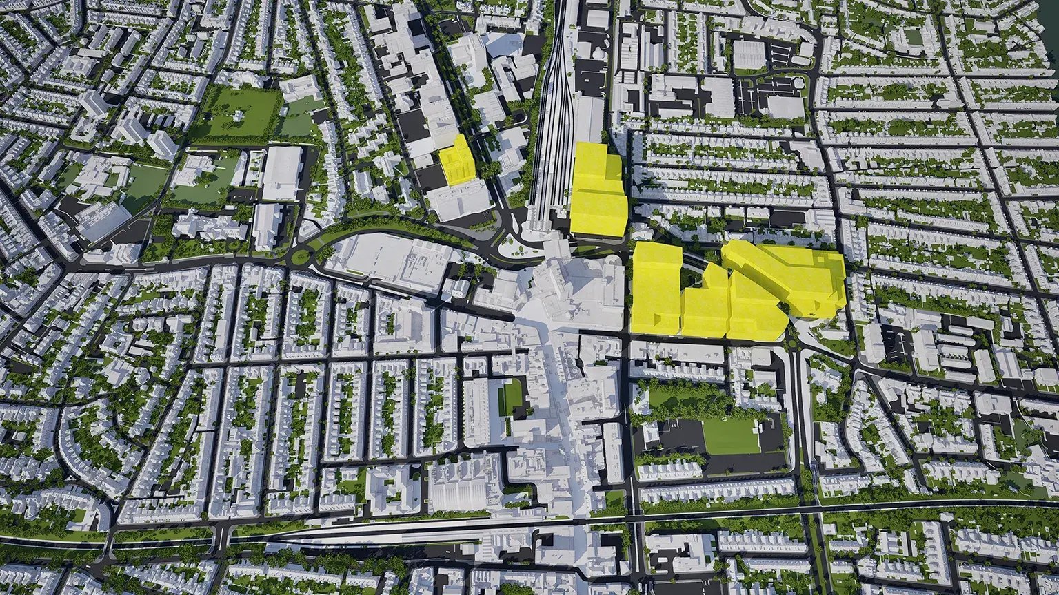
See Southend’s past, present & future in VU.CITY
Models. Data. Tools. All in one platform.
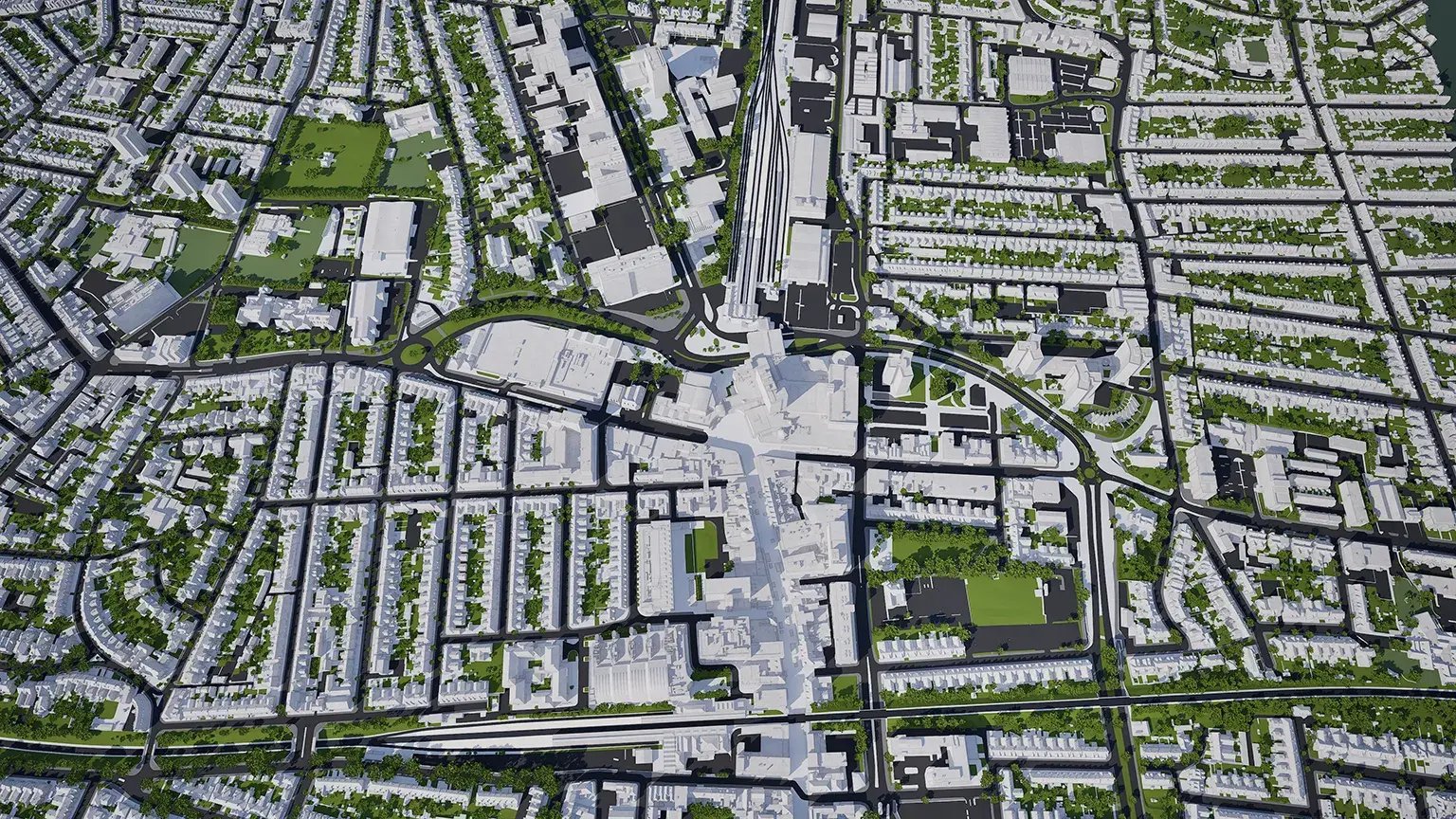
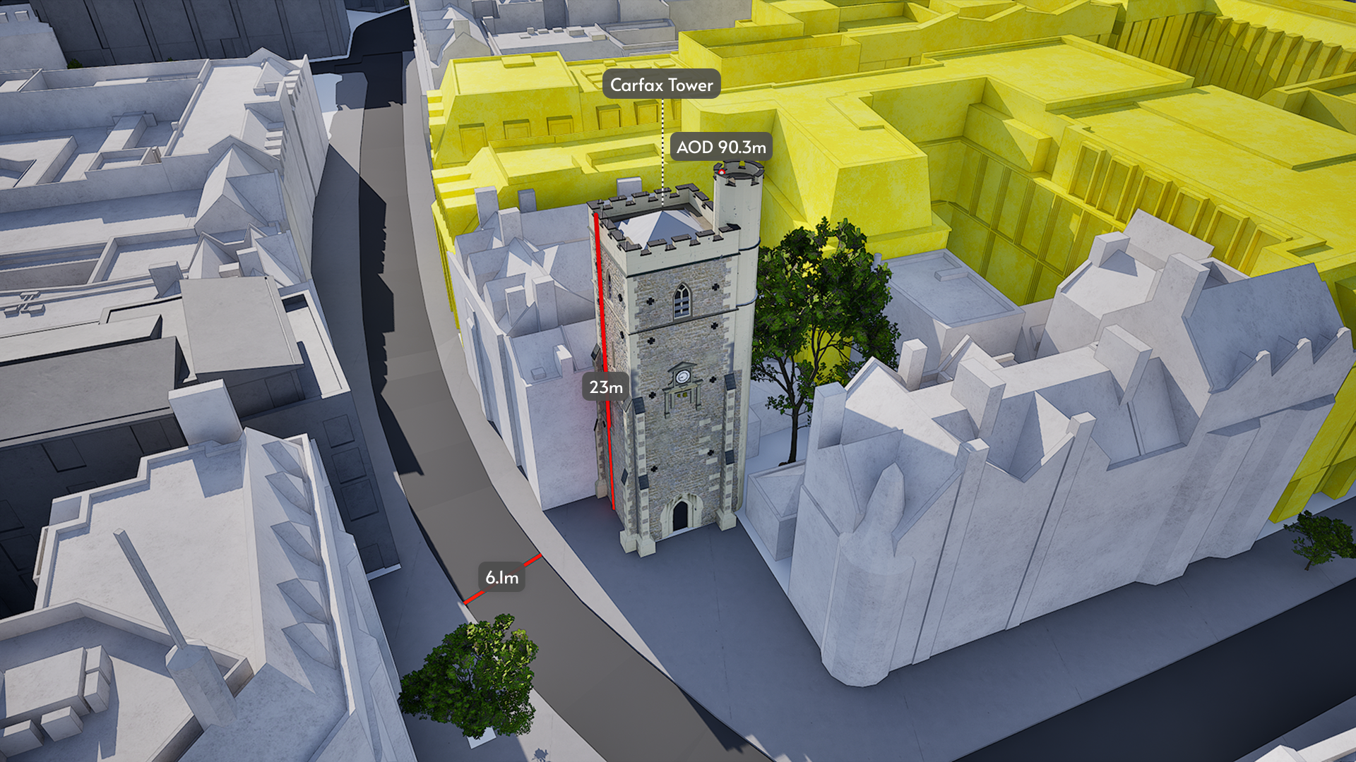
We provide the most accurate and detailed managed city models available. ±15cm for all buildings, trees and terrain.
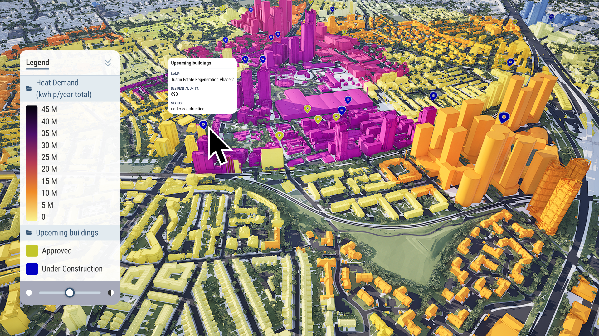
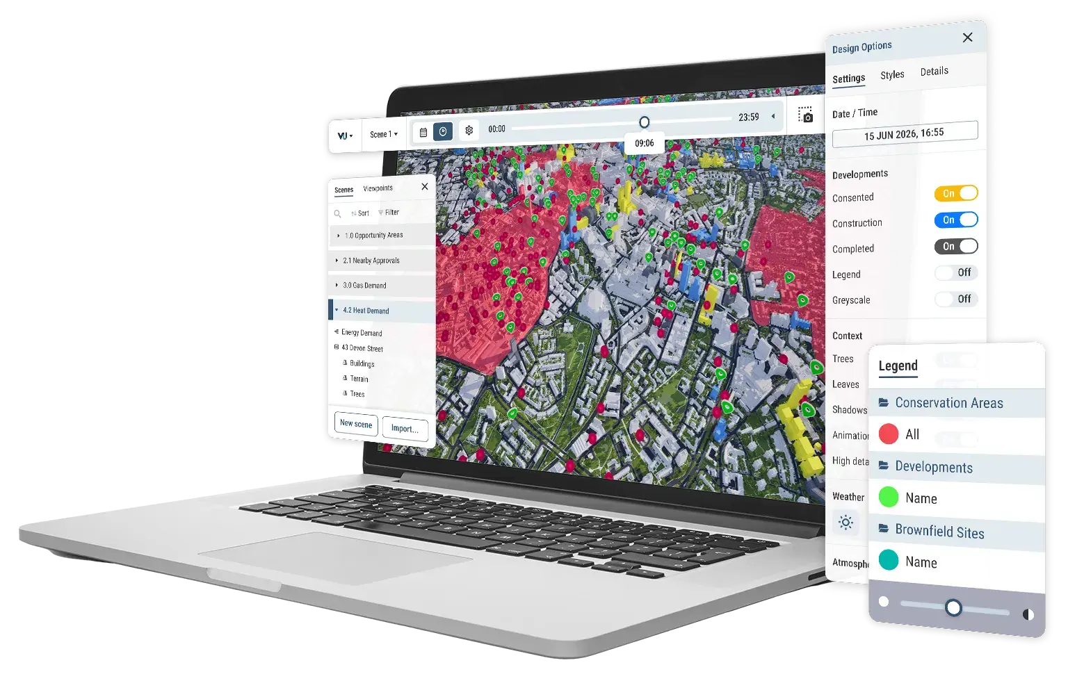
Our public data is available to all users. You can also import your own, private data for your projects. Visualise, analyse and filter large-scale data sets with ease.
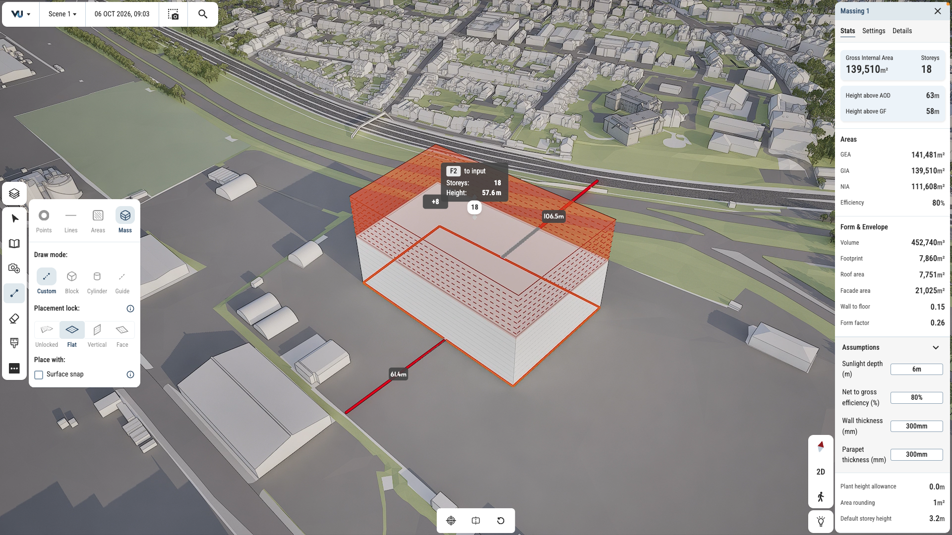
Test and iterate ideas in survey-accurate context. Draw in 2D and 3D. Mark up plans and create maps with stakeholder-ready visual quality.
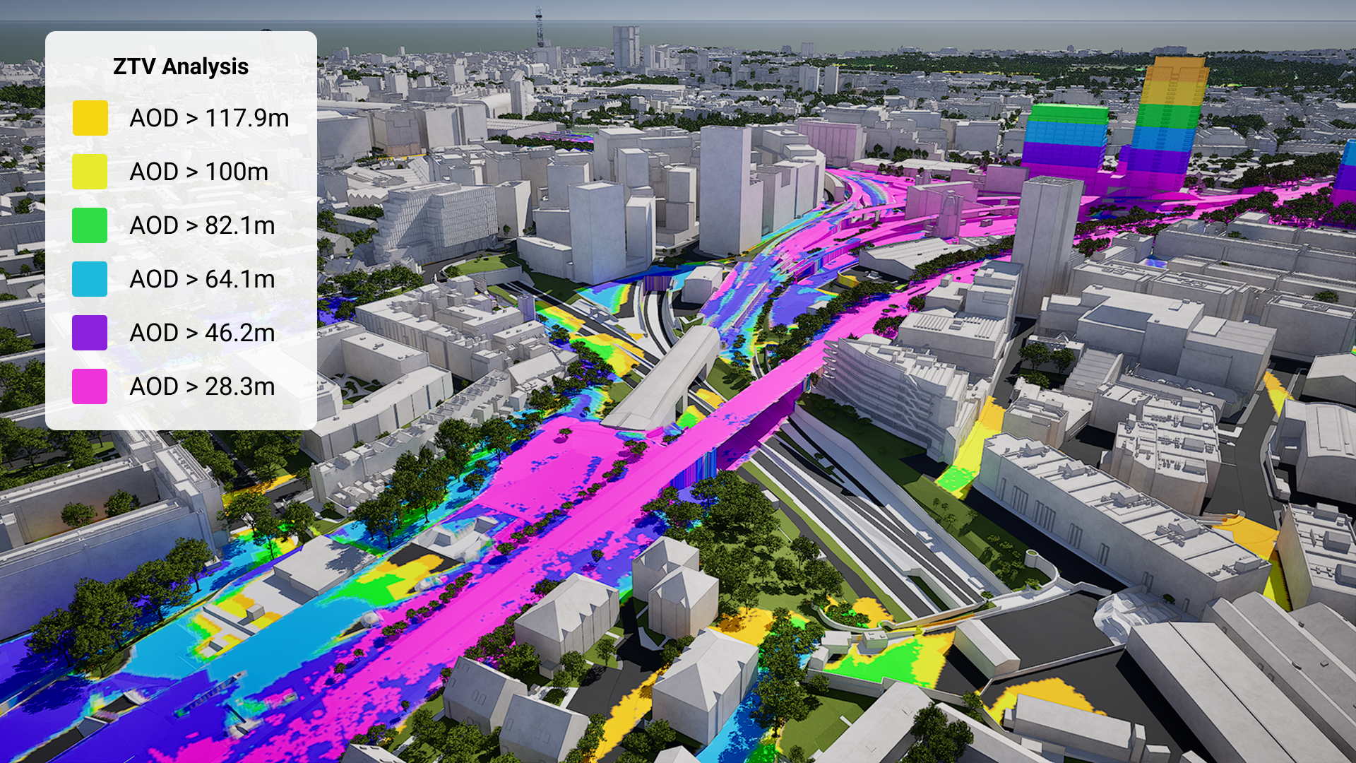
Generate ZTV studies and viewsheds in just a few clicks. See sunlight paths and overshadowing instantly.
Create guided tours and presentations, export high quality imagery and share files with stakeholders for seamless collaboration and feedback.
Survey accurate Southend-on-Sea coverage
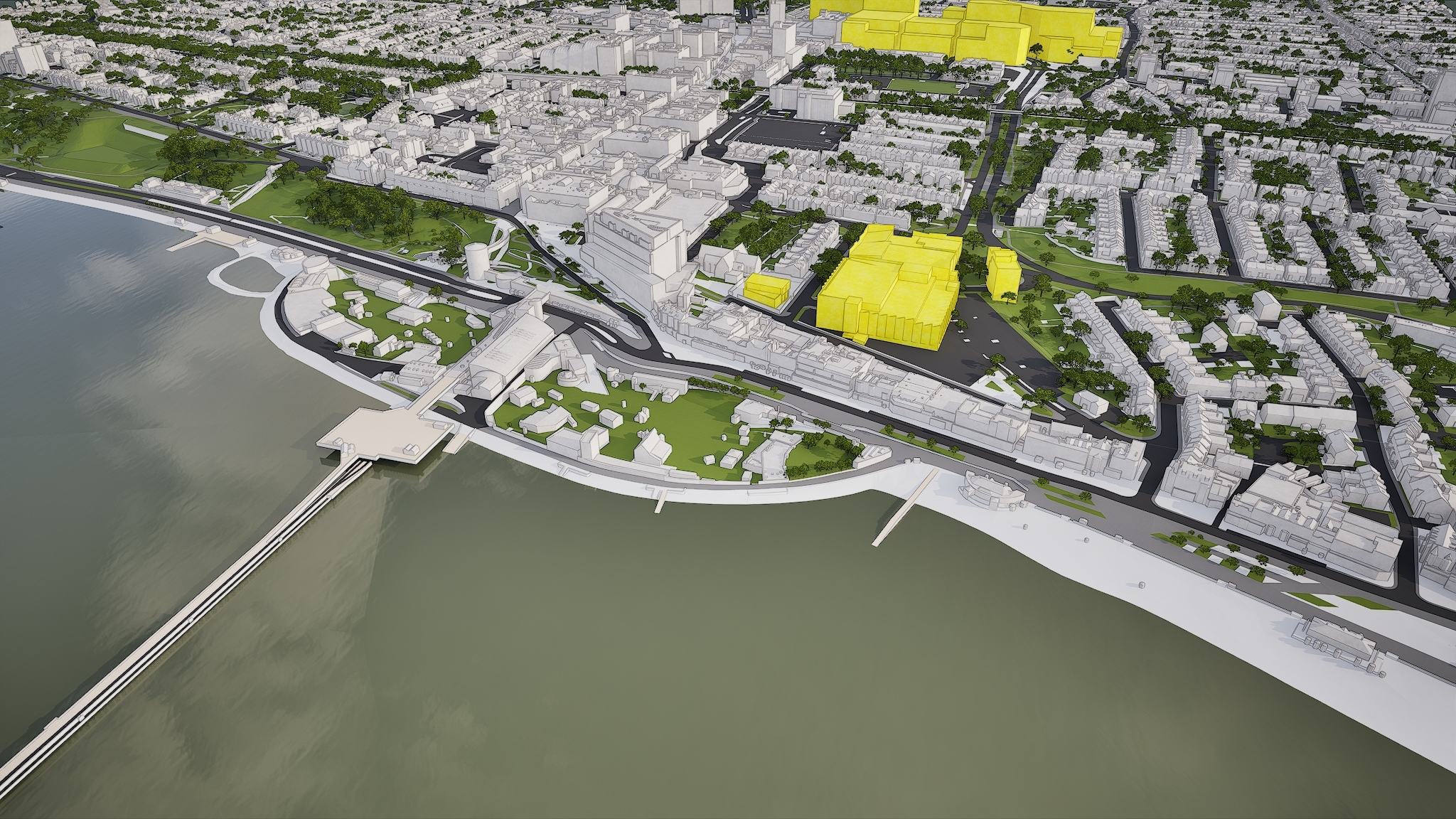
From the city centre to the seafront, our Southend-on-Sea 3D model is mapped to 15cm accuracy.
Southend-on-Sea data layers for contextual viability
From transportation and zoning to environmental factors, the data layers in VU.CITY’s Southend-on-Sea 3D model provide essential insights for more informed and confident decision-making.
Administrative Boundaries
-
Local authority districts
Amenities & Services
-
Educational Establishments
-
GP Practices
-
Locally Important Buildings
-
Retail Boundaries
-
Supermarkets
Demographics & Economy
-
Annual Average Income Per Household
-
Deprivation Index
-
House Prices
Environmental
-
Air Quality Management Areas
-
Flood risk areas
-
Recorded Flood Outlines
-
Spatial Flood Defences
-
Local Nature Reserves
-
Rail noise
-
Ramsar
-
Sites of Special Scientific Interest
-
Special Protection Areas
Green Spaces & Open Areas
-
Open green spaces
-
Parks and gardens
Heritage & Conservation
-
Conservation Areas
-
Designated sites
-
Listed Building points
-
Listed Buildings polygon
Planning & Development
-
Developments
Transport & Accessibility
-
National Cycle Network
Hover over each card to see more
Explore VU.CITY's tools
See how VU.CITY’s models, data and tools work together to help you plan, analyse and present your projects.
VU.CITY Southend-on-Sea is the largest and most accurate interactive 3D model available.
Southend-on-Sea is a traditional Victorian seaside resort that has undergone many transformations over the years. The Better Queensway scheme is central to Southend-on-Sea’s future masterplan, and is set to become one of the UK’s first ‘Gigabit Cities’ outside of London.
Southend-on-Sea is undergoing extensive, government-backed regeneration to key civic areas, with a £2.5m programme for the town centre, including plans to remodel its public and green spaces.
The long-awaited demolition of Southend’s Queensway Estate will make way for a £500m housing regeneration scheme. The Better Queensway scheme will transform this area of central Southend into a vibrant new community with high quality housing and is hailed as one of Southend’s biggest ever developments.
Users of VU.CITY Southend-on-Sea are using the model’s many benefits, from being able to understand and assess a site’s opportunities and challenges, testing refined designs in context, enhancing pre-app conversations and planning submissions, to improving how everyone involved collaborates.
VU.CITY Southend-on-Sea FAQs
Here are some frequently asked questions about VU.CITY's Southend-on-Sea 3D Digital Twin and Model.
How does the VU.CITY Southend-on-Sea model support local redevelopment projects?
The model provides tools to visualise redevelopment impacts in areas undergoing transformation, such as the Better Queensway scheme. It helps planners and developers assess designs in real-time, supporting Southend’s urban regeneration goals.
Can the Southend-on-Sea 3D model help with planning around conservation and heritage areas?
Yes, the model includes data on heritage and conservation areas, allowing users to understand how new projects fit within Southend’s historic context. Features like view impact and sunlight analysis help ensure that developments are compatible with protected sites.
How can I use the Southend-on-Sea model to present projects to stakeholders?
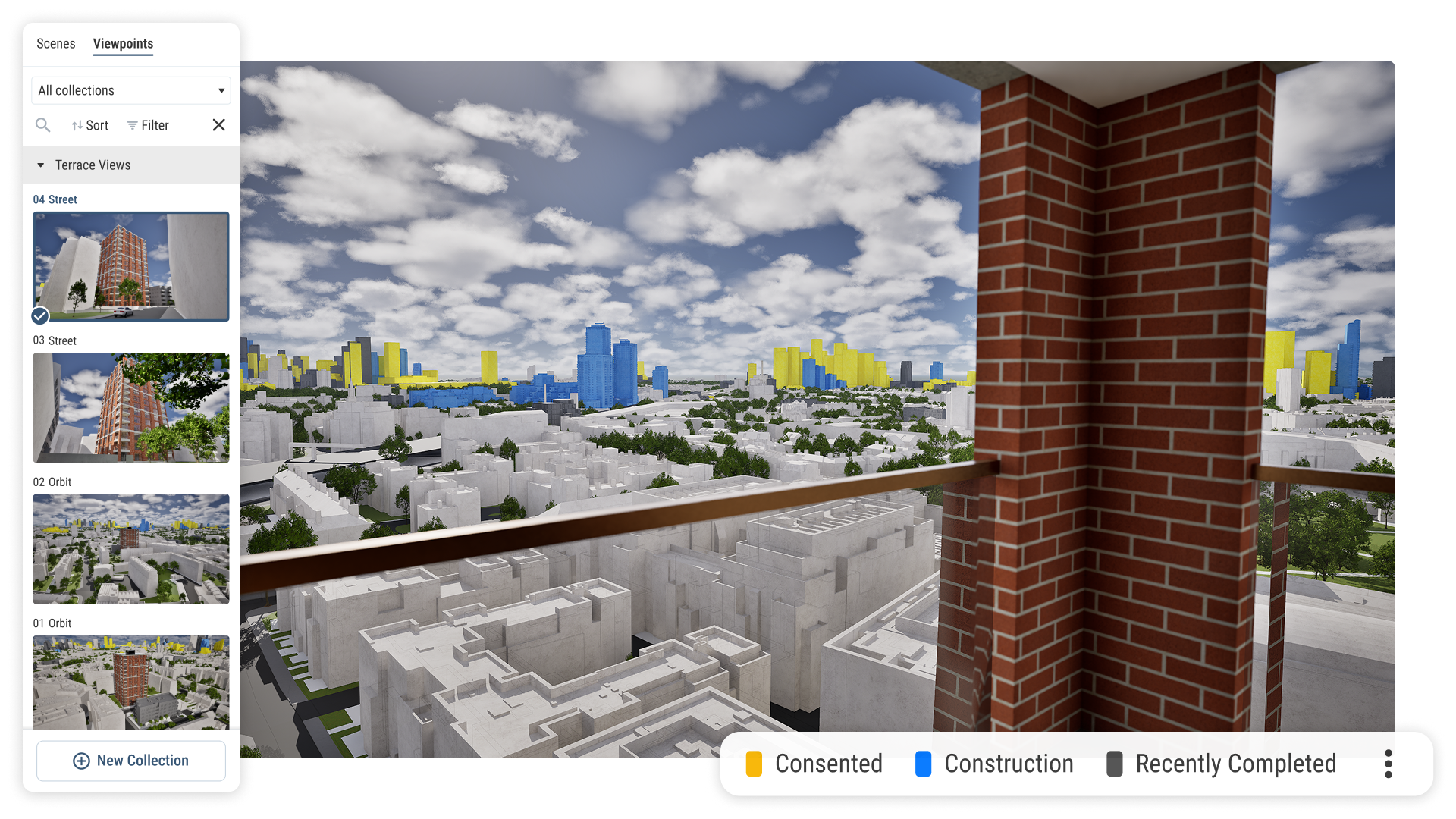
The model includes tools like the Camera Tool, which allow users to create high-quality visuals from key viewpoints. This supports effective project presentations and helps stakeholders visualise and engage with proposed developments.
What environmental data is available in the Southend-on-Sea 3D model?
The model offers data layers for flood risk areas, sunlight analysis, and green spaces. These features assist in making environmentally informed decisions and planning developments that align with Southend’s coastal location.
Who can benefit from using the VU.CITY Southend-on-Sea model?
Architects, planners, developers, and local councils benefit from the model. It enhances collaboration, supports complex urban projects, and helps ensure that new developments align with Southend-on-Sea’s future vision for growth and regeneration.
Explore digital 3D geospatial solutions for the built environment
VU.CITY provides clear, powerful tools for key decision-makers across the built environment, helping them visualise and shape the future of cities with confidence and precision.

Licence any VU.CITY city and design, test and present your project in its real context.

Coverage across 26 UK & International cities