Scope, appraise and develop sites using data-driven 4D city maps.
From finding site opportunities though to securing planning permission and investment, we have the tools for your team.
Combine data and insight from project leads, consultants, architects and planners every step of the way on a 3D city canvas. Intelligently forecast returns, streamline applications and drive value for every project.
Join a community of 6000+ users across 200+ organisations
For property development, appraisal and planning
Our platform can be used by anyone - from total beginners to the absolute pro.
Sound familiar?
Scoping and appraising sites takes too long, leading to wasted cost and resource
Project risks, constraints and changes to surrounding areas get found too late
Collaboration across project managers, architects, planners and consultants is fragmented and siloed
Communicating the true value of schemes in planning applications is difficult
Investor and stakeholder presentations can fall flat with static imagery and comparable tables
With VU.CITY
Your team can assess multiple sites in minutes and hours, not days and weeks. Keep your team on the right track
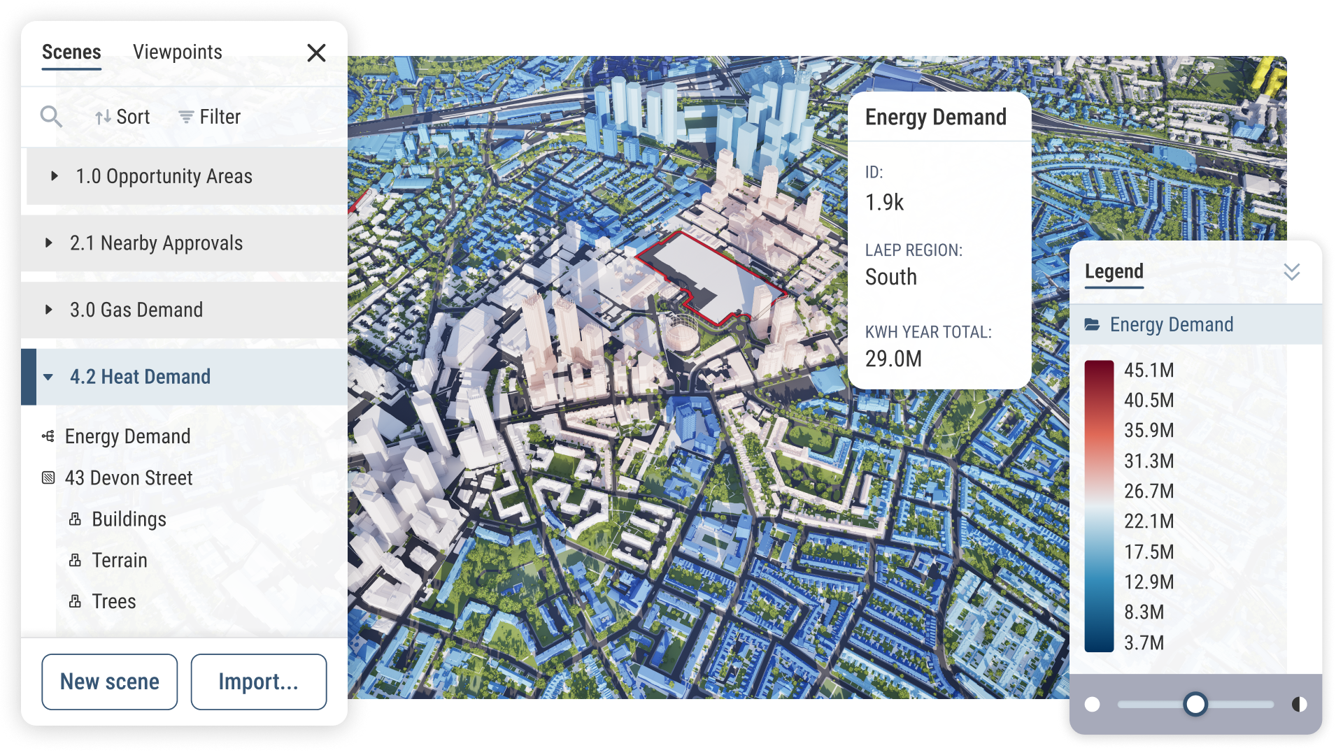
Spot blockers before they cost you time and money: See new buildings, contextual data and more
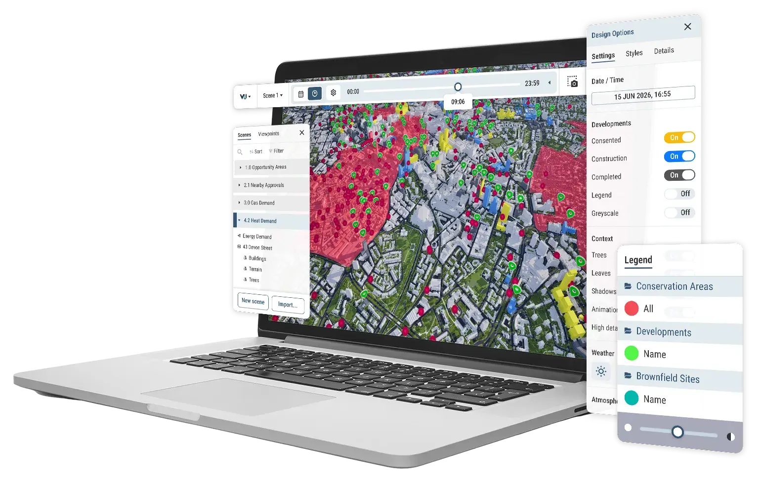
Bring data, massing studies, consultant findings and feedback into one single source of truth, accessible to everyone across the whole development lifecycle
Build accurate, compelling visuals that show your scheme in full context from every angle, with sunlight, overshadowing and planning data overlaid
Give investors and stakeholders an immersive view of your scheme, and the whole story behind it
Import your own financial and planning data, then invite consultants and planners to layer their insights.
Site drawing and model import
Have your project managers, architects and planners collaborate on site plans in one canvas for review.
Building approvals timeline
Our 4D maps are updated with upcoming buildings, giving you the opportunity to find precedence.
High-quality image export
Your team can create impactful imagery for planning applications, investor brochures and more.
Interactive presentation tools
Move through places and buildings to give immersive, live tours of plans.
External sharing
Invite contractors to contribute seamlessly. Share 3D projects with councils instead of emailing a model.
Streamlined workflows with your AI assistant
Analyse data in seconds using VU.CITY Data Lab. Ask questions like "which sites within this area have consented residential schemes over ten storeys?" and get answers instantly, without a GIS team.
"We're bringing in architects and our clients and different consultants into one room and we're viewing the proposals, the massing of the buildings from day one, and we're building basically the drawings and the architecture and the massing through VU.CITY."
Charlotte Orrell: Senior Planner, Iceni Projects
"VU.CITY allows us to convey ideas when physical engagement is not possible, assisting the decision-making process in a way in which all stakeholders can relate to the proposal and its impact in the surroundings."
Rosa Gonzalez: Consultant, Landscape, Townscape & VIA, Turley
Councils can see, planning officers can see very quickly when they see a development of VU.CITY that it makes sense to them. They really feel like we're not hiding anything from them. Historically, you'd give them five or six views and they'd go, "Oh, you cherry-picked the best ones." And now we can take them through that process and that's helped massively."





.svg)

.svg)
.svg)
.svg)

.svg)
.svg)


.svg)


.svg)
.svg)
.svg)

.svg)


.svg)
.svg)