

Access the most accurate managed 3D city models in the UK&I
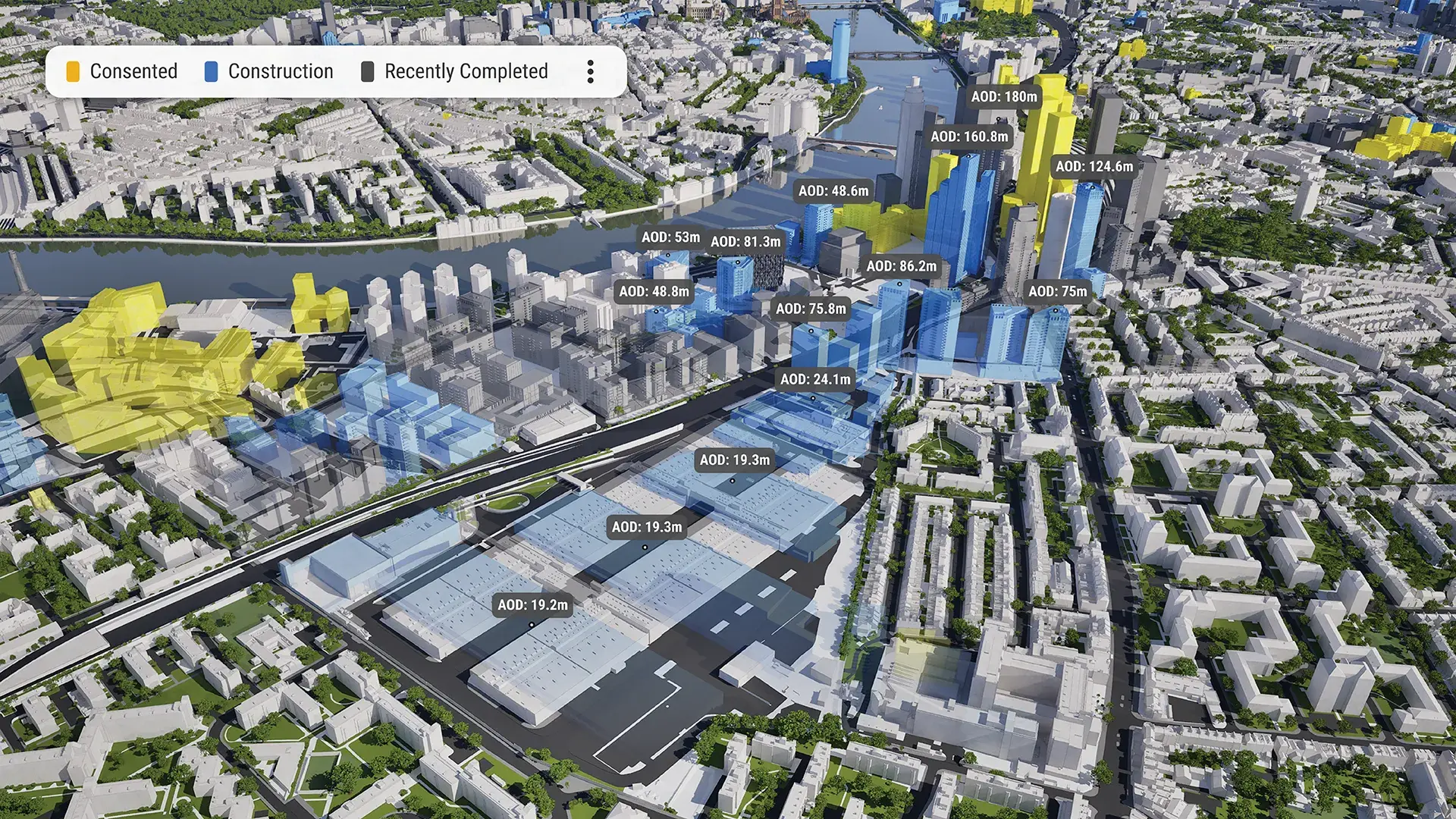
Our coverage includes over 3,500km² of 3D geometry across 26 UK&I cities, including 10 government-trusted, 4D city models.
-
0 10Government Trusted
-
0 1,256DATA LAYERS
-
0 3,850 sq kmMODELLED TO 15CM ACCURACY
-
0 140HIGH DETAIL BUILDINGS
-
0 8,293Consents approved VU.CITY
-
0 10,390,300TREES, ACCURATE HEIGHT AND CANOPY
4D, government-trusted cities
What’s included
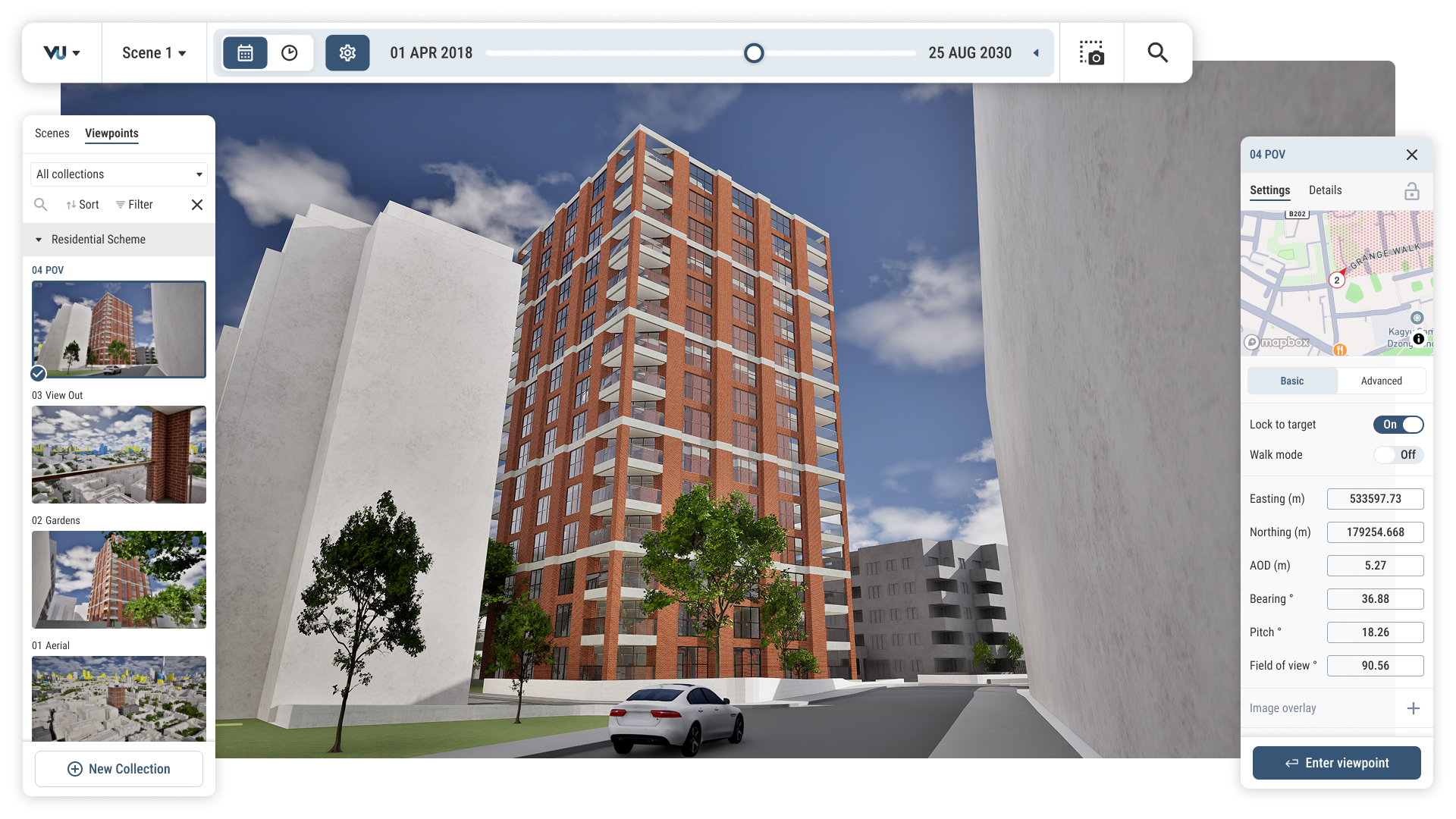
LOD350 geometry, accurate to ±15cm, captured via aerial LiDAR to survey grade.
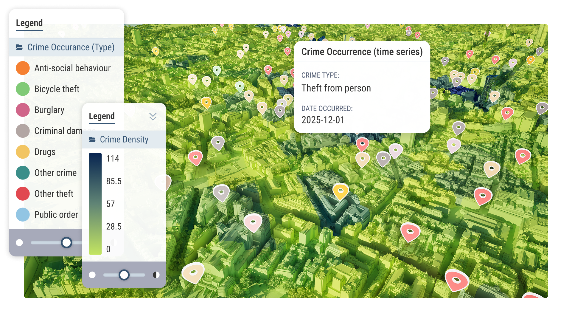
Public and private layers sourced from Ordnance Survey under an Open Government Licence, updated quarterly.
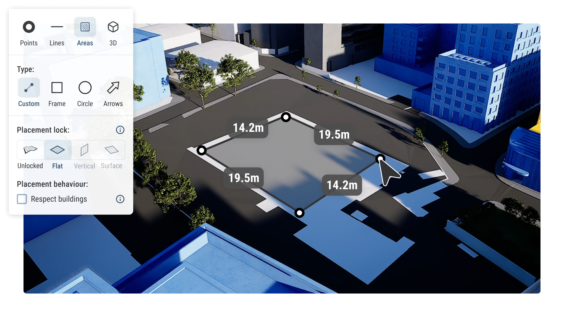
Measure distance and area, draw site boundaries, add pins and notes, and export to PNG or PDF.
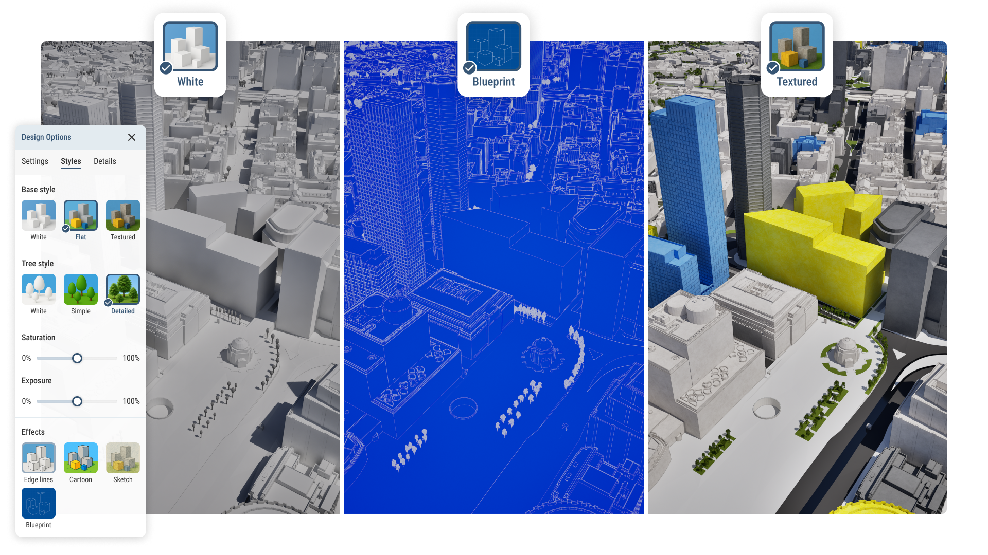
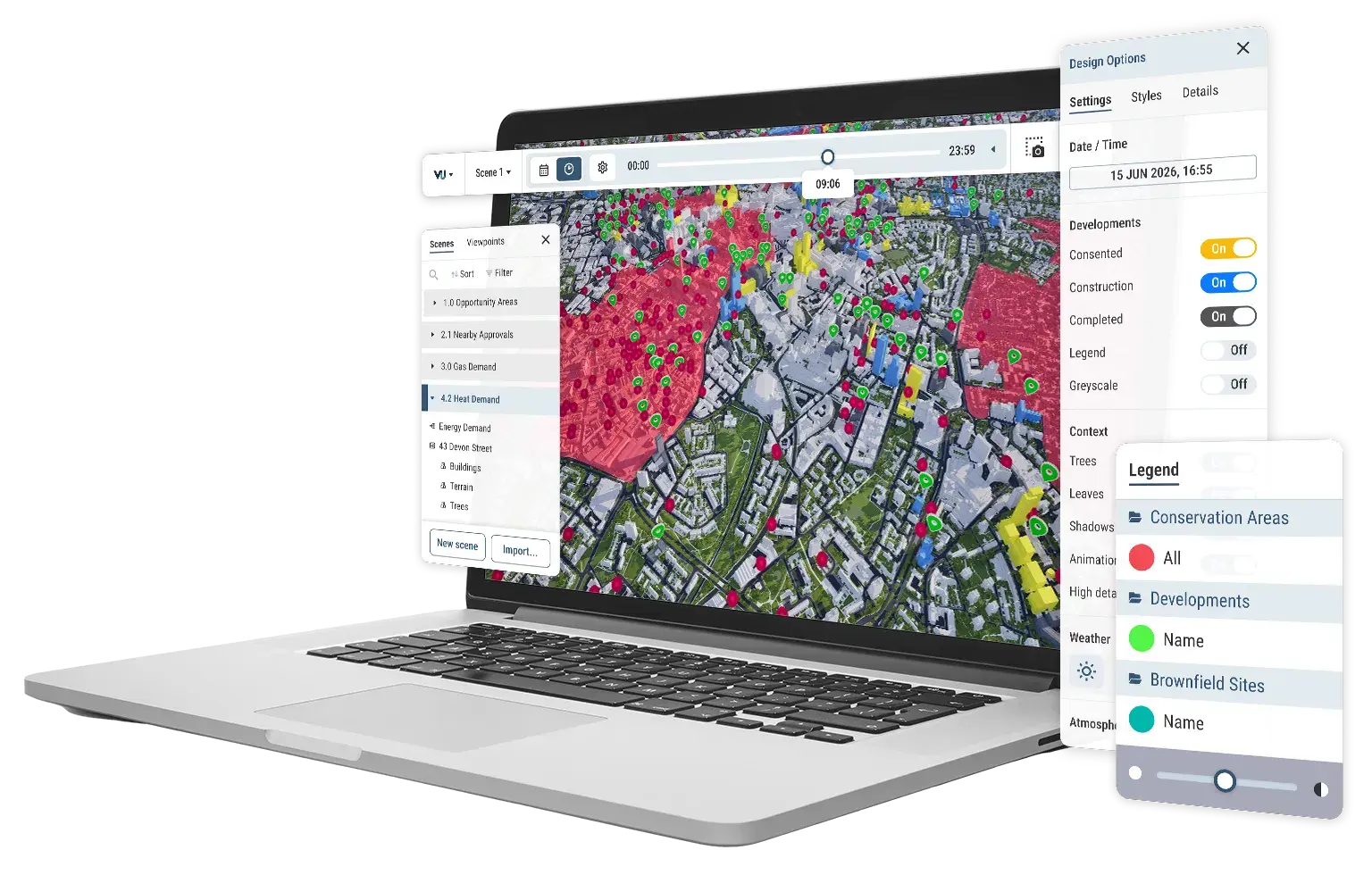
Style layers by colour and material, toggle visibility, group into custom sets, and save presets for reuse.
Terrain modelled from a 2m DTM, seasonal sunpath studies, protected view corridor checks, referenced to OS Newlyn datum.
3D, survey accurate cities
Available data
Administrative Boundaries
-
Boroughs
-
Central Activity Zone
-
Town Centres
-
Westminster Central Activities Zone
-
Westminster Local Centres
Amenities & Services
-
Educational Establishments
-
GP Practices
-
Hospitals
-
Locally Important Buildings
-
Principal Shopping Areas
-
Retail Boundaries
Crime & Safety
-
Burglary
-
Robbery
-
Shoplifting
-
Theft
Demographics & Economy
-
Deprivation Index
-
House Prices
-
Population Density
Energy & Utilities
- Broadband Speed
Green Spaces & Open Areas
-
Protected Squares
-
Designated Open Space
Heritage & Conservation
-
Conservation Areas
-
Greater Archaeological Priority Areas
-
Listed Buildings
-
Scheduled Monuments
Planning & Development
-
Areas of Intensification
-
Brownfield Register
-
Camden Planning Applications
-
Locally Significant Industrial Sites
-
Site Allocations
-
Strategic Industrial Land
-
Developments
-
Opportunity Areas
-
St Paul's Depth
Protected Viewing Corridors
-
Monument Views and Settings
-
Tower of London WHS Local Setting Area
-
Protected Vistas Extension
-
Southwark Borough Viewpoint Locations
-
Southwark London View Management Framework Landmark Viewing Corridors
-
Southwark London View Management
Transport & Accessibility
-
Sustrans Cycle Network
-
TfL Cycle Routes
Hover over each card to see more
Explore digital 3D geospatial solutions for the built environment
VU.CITY provides clear, powerful tools for key decision-makers across the built environment, helping them visualise and shape the future of cities with confidence and precision.

Licence any VU.CITY city and design, test and present your project in its real context.