

VU.CITY-icon-Portsmouth-light
3D-icon-alt-white

Portsmouth 3D Model

Design and plan with precision using Portsmouth’s leading digital twin

VU.CITY Portsmouth saves time and money for professionals in the design, planning, and development of the built environment, with an accurate, interactive 3D digital twin model of the city enriched with data and tools to help you collaborate, analyse the real-world impact of proposals, and make better design and planning decisions, faster.

Portsmouth city hero
  • data-icon-white-2
    41
    DATA LAYERS
  • 60.25 sq km
    MODELLED TO 15CM ACCURACY
  • 2
    HIGH DETAIL BUILDINGS
  • 29
    Consents approved
  • 137,278
    TREES, ACCURATE HEIGHT AND CANOPY

See the past, present & future with the VU.CITY timeline tool

VU.CITY Portsmouth in 2026 Portsmouth in 2016 Portsmouth in 2026
Models. Data. Tools. All in one platform.

Oxford Carfax Accuracy

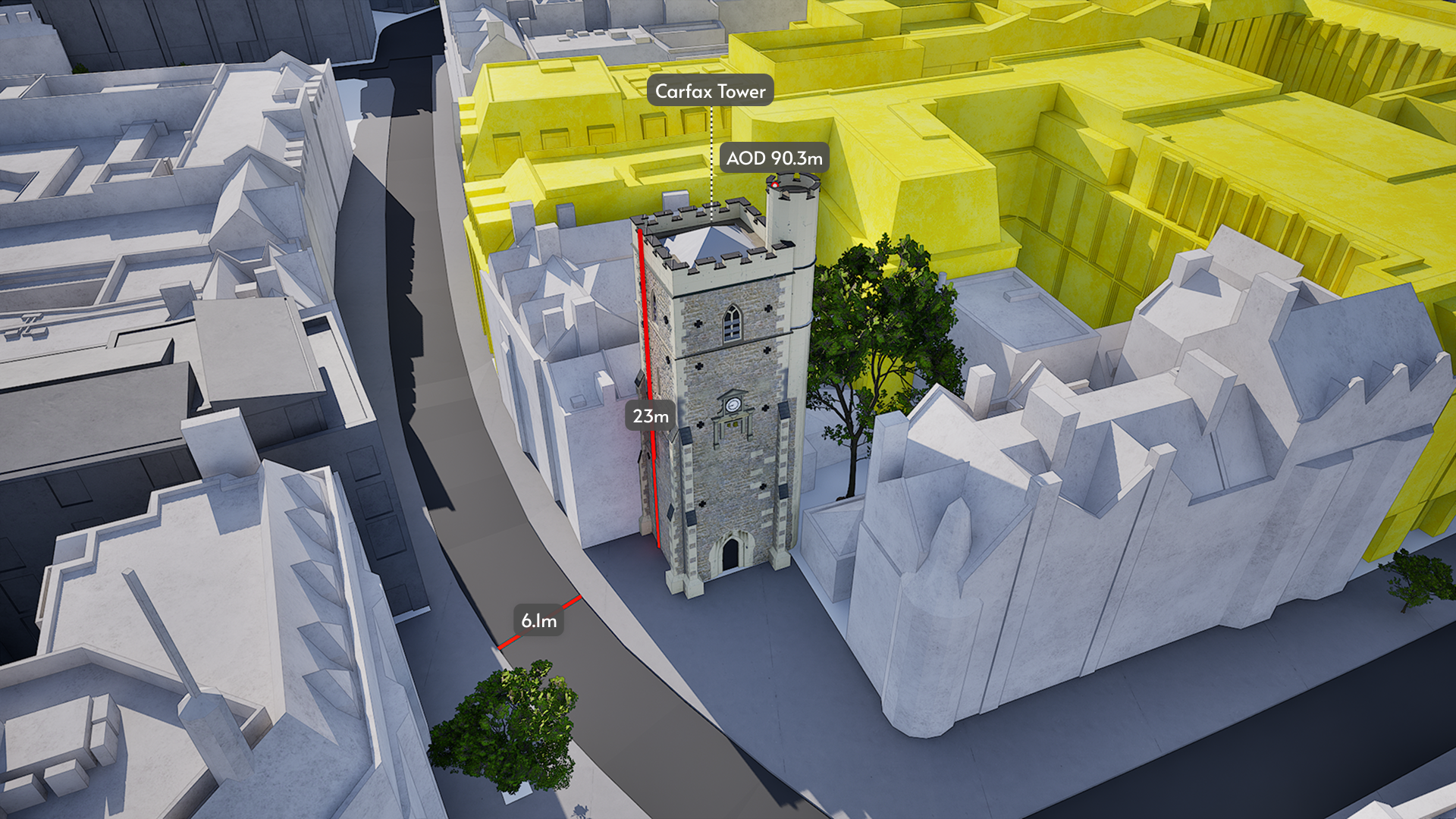
We provide the most accurate and detailed managed city models available. ±15cm for all buildings, trees and terrain.

Developments + data

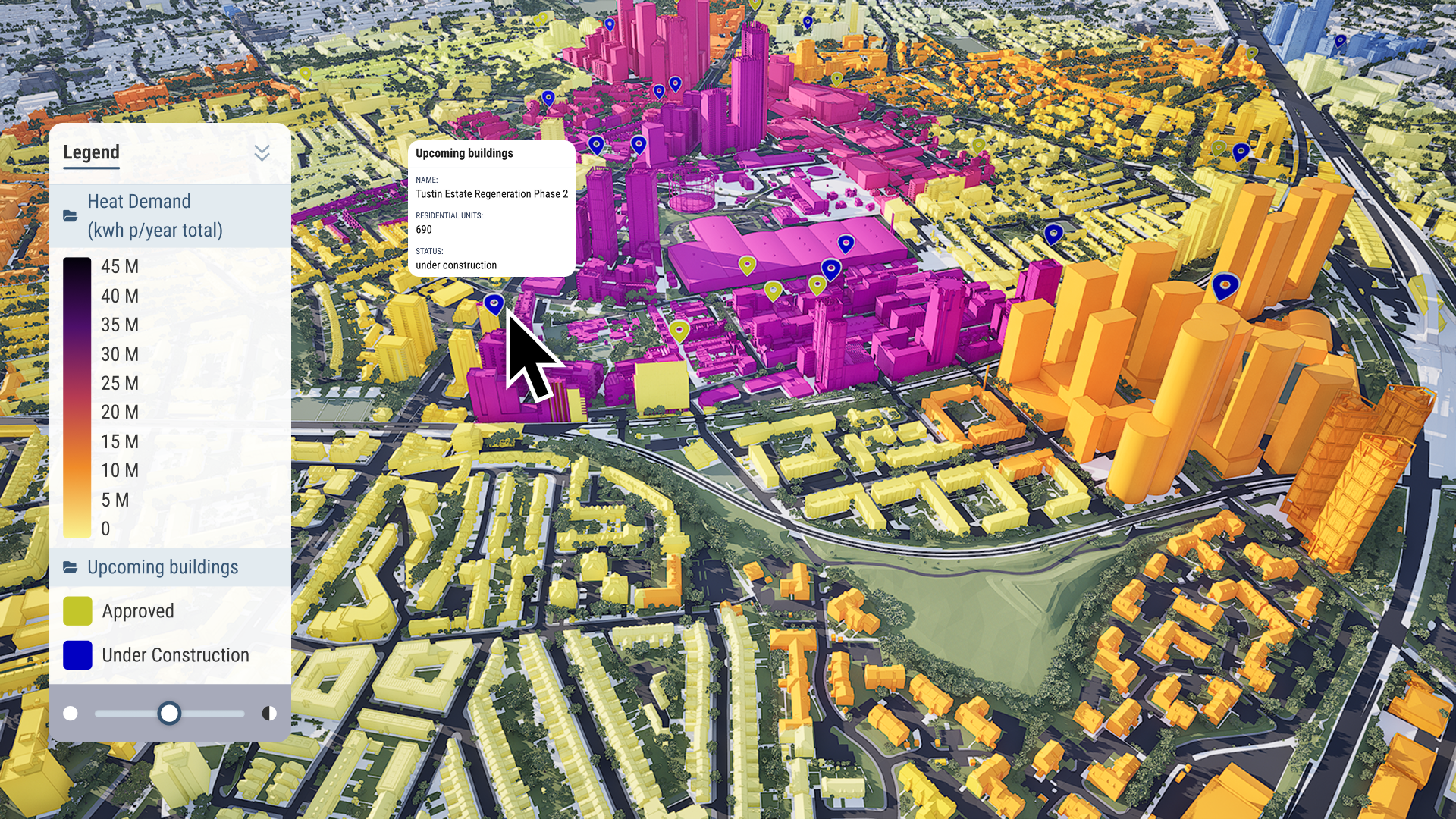
Our public data is available to all users. You can also import your own, private data for your projects. Visualise, analyse and filter large-scale data sets with ease.

3D draw

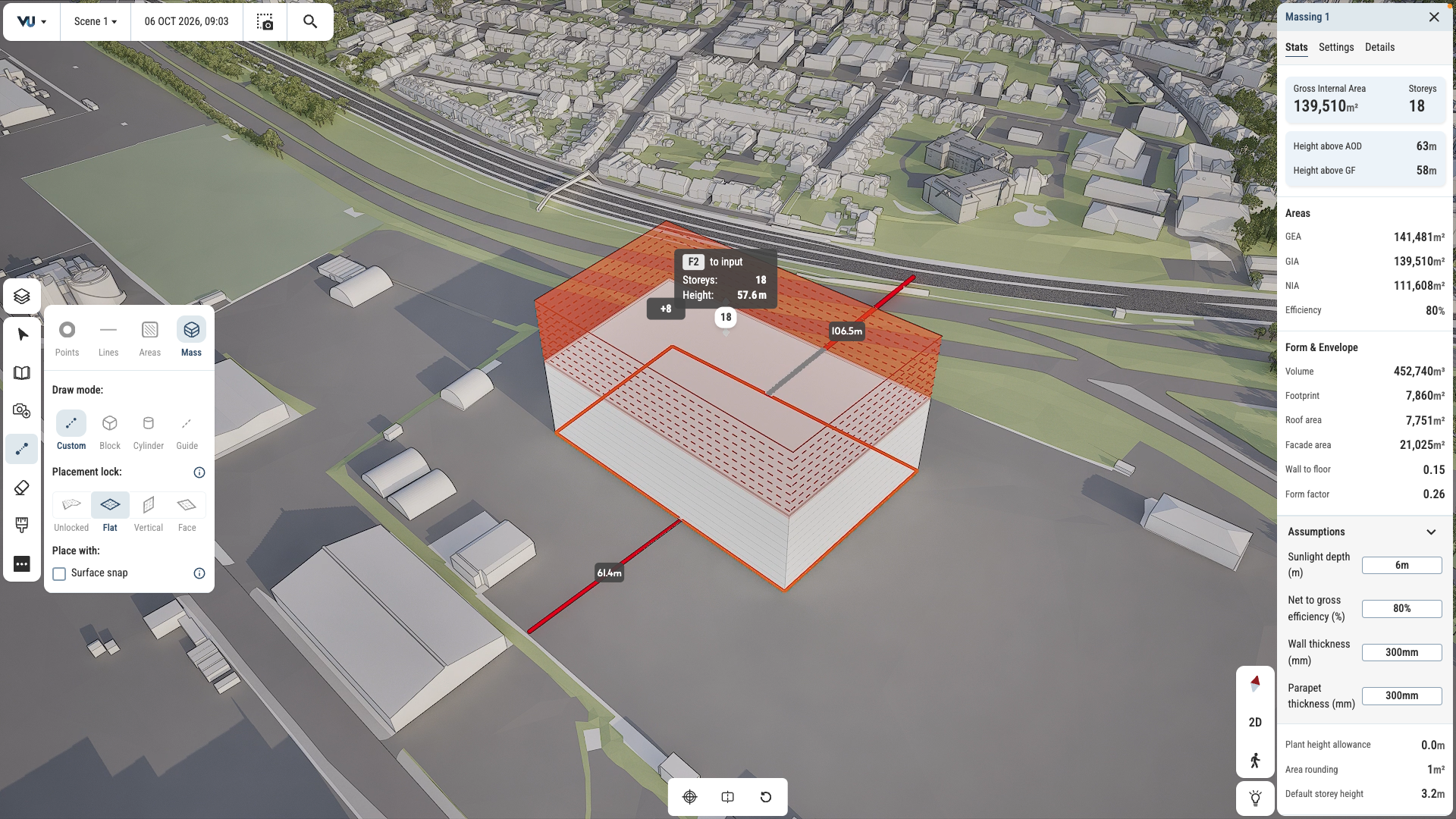
Test and iterate ideas in survey-accurate context. Draw in 2D and 3D. Mark up plans and create maps with stakeholder-ready visual quality.

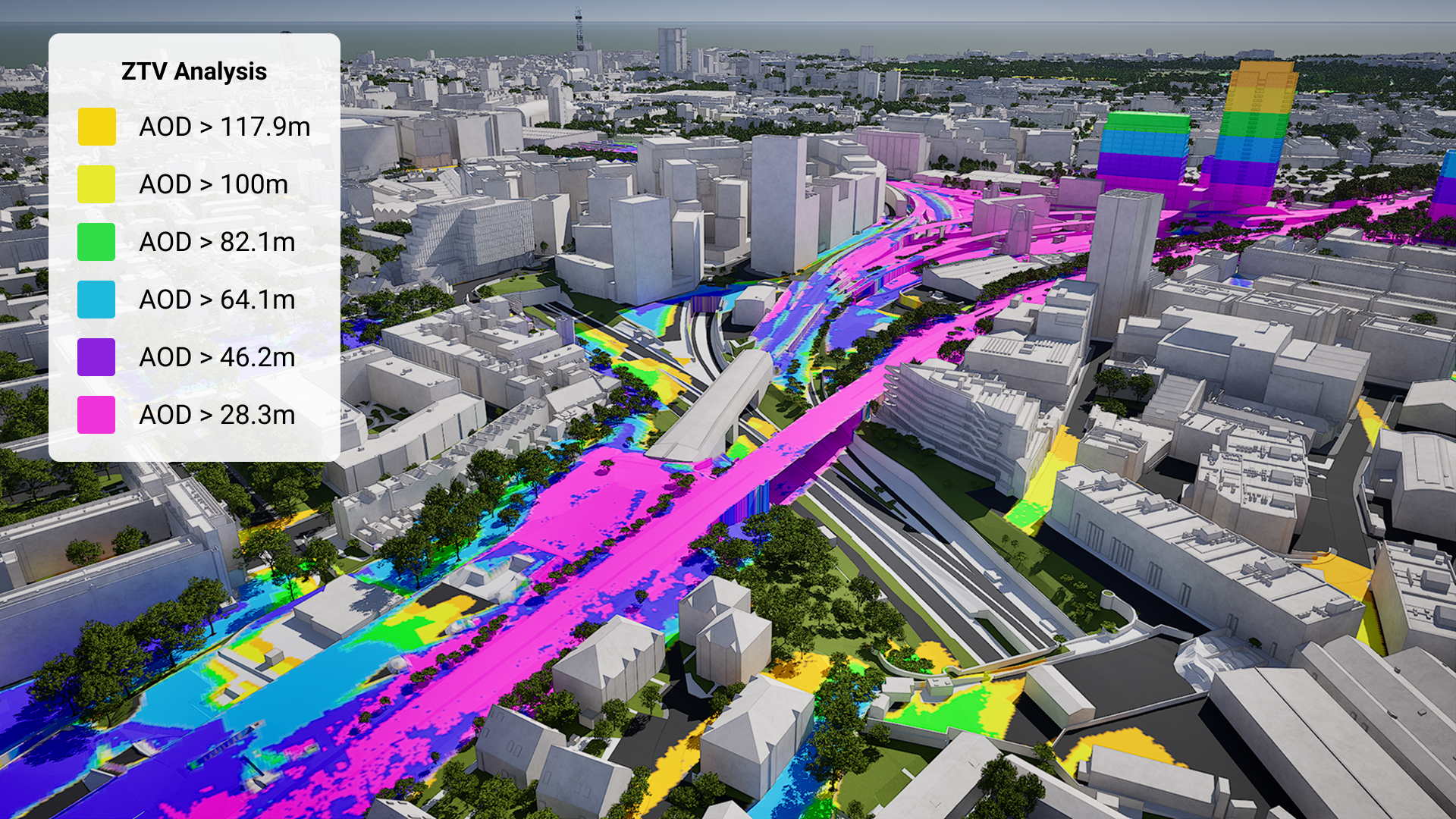
VU.CITY ZTV Analysis-1

Generate ZTV studies and viewsheds in just a few clicks. See sunlight paths and overshadowing instantly.

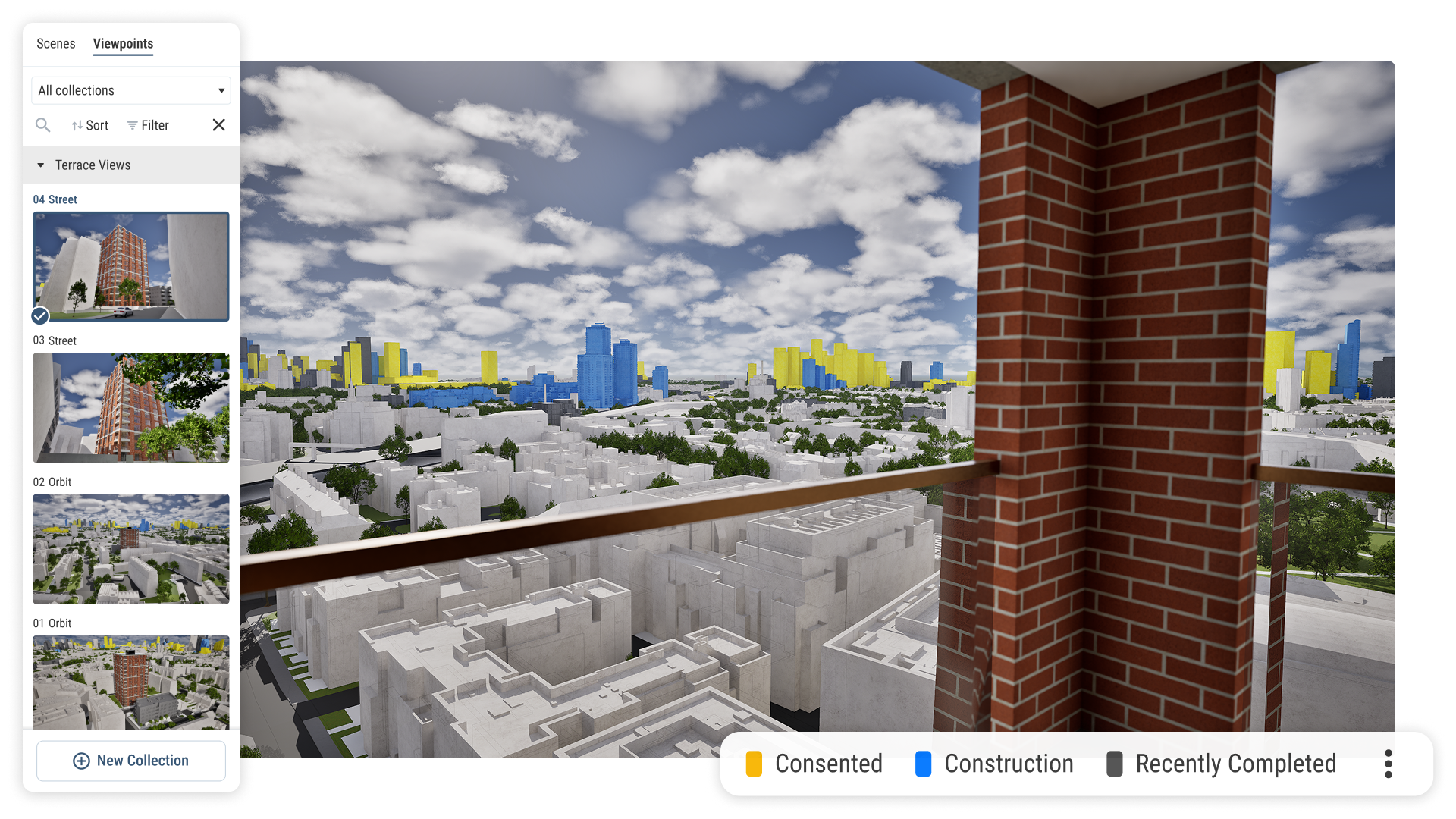
Visualise Real Estate assets and their views out in 4D

Create guided tours and presentations, export high quality imagery and share files with stakeholders for seamless collaboration and feedback.

GeometrySurvey-grade 3D city models
DataA public data library
Design toolsDraw, measure, annotate
Analysis toolsVisibility, sunlight and more
Presentation toolsTell your story, your way

Survey accurate Portsmouth coverage

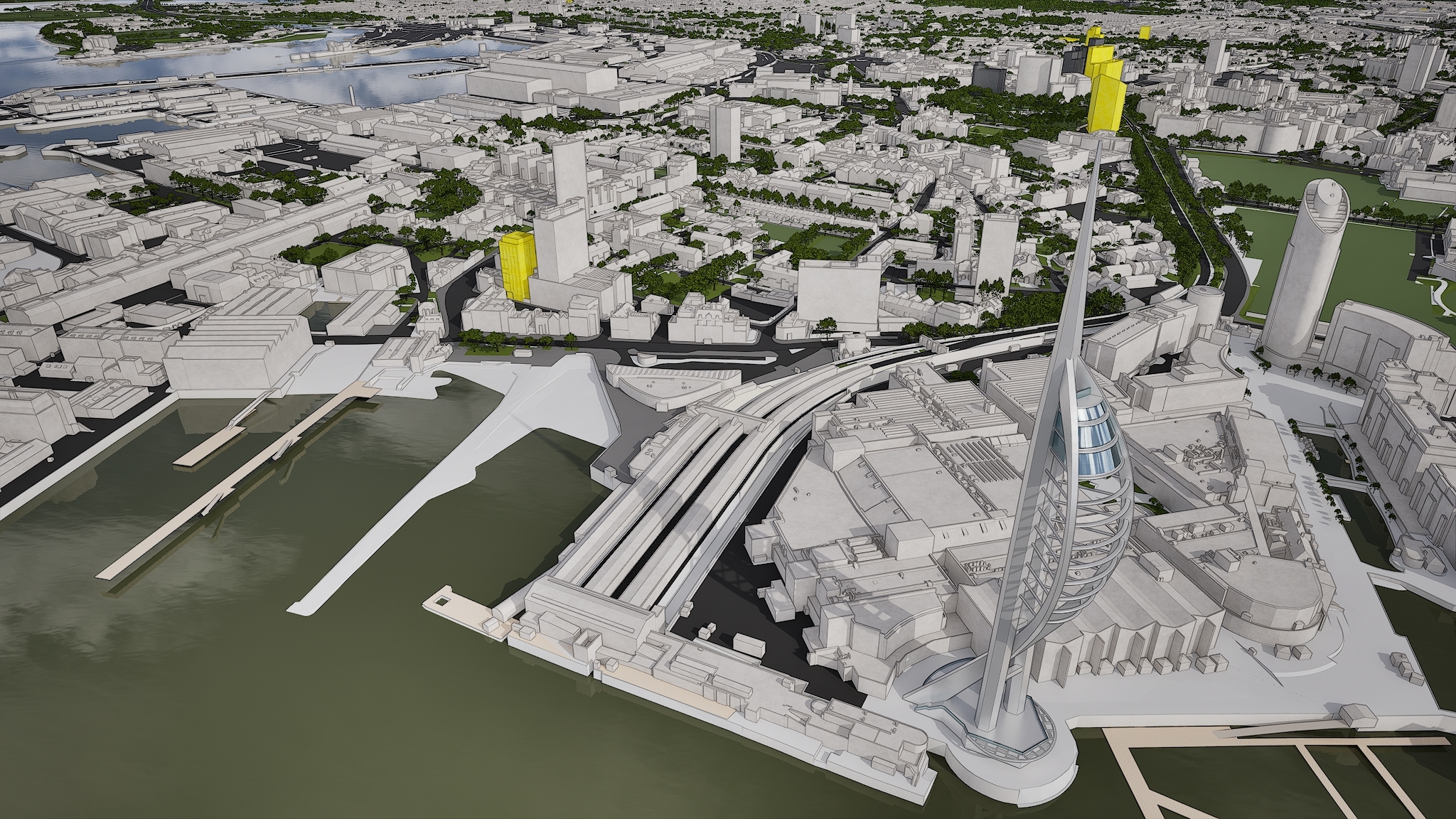
From Gunwharf Quays to Southsea seafront and beyond, our Portsmouth 3D model is mapped to 15cm accuracy.

data-icon-white-2

Portsmouth data layers for contextual viability

From transportation and zoning to environmental factors, the data layers in VU.CITY’s Portsmouth 3D model provide essential insights for more informed and confident decision-making.

Administrative Boundaries

  • Certificate of Immunity polygons

  • Local authority districts

Amenities & Services

  • Educational Establishments

  • GP Practices

  • Locally Important Buildings

  • Retail Boundaries

  • Supermarkets

Demographics & Economy

  • Annual Average Income Per Household

  • Deprivation Index

  • House Prices

Environmental

  • Air Quality Management Areas

  • Ancient Woodland

  • Flood risk areas

  • Recorded Flood Outlines

  • Spatial Flood Defences

  •  

    Local Nature Reserves

  • Rail noise

  • Ramsar

  • Sites of Special Scientific Interest

  • Special Areas Of Conservation

Green Spaces & Open Areas

  • Open green spaces

  • Parks and gardens

Heritage & Conservation

  • Certificate of Immunity points

  • Conservation Areas

  • Designated sites

  • Heritage at risk

  • Listed Building points

  • Listed Buildings polygons

  • Scheduled Monuments

Planning & Development

  • Article 4 Direction 

  • Developments

Transport & Accessibility

  • National Cycle Network

Hover over each card to see more

Explore VU.CITY's tools

VU.CITY-icon-Portsmouth-light

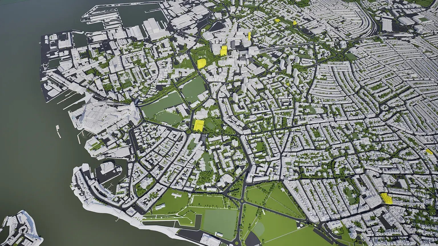
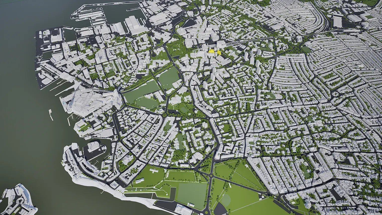
VU.CITY Portsmouth is the most accurate interactive 3D model available of the city.

Portsmouth has a strong marine heritage, with a naval dock and ferry port. It is the UK's only island city and is extremely flat and low lying; its island location leads it to being very constrained, with limited large sites for development, and additional complications including flood risk sites, contaminated land and nature conservation. 

The west side of Portsmouth is commercial-focussed through its city centre and docklands, while its east side features residential areas with open spaces, and the southern part is defined by the seafront, historical fortifications and residential areas. 

Award-winning schemes, such as Gunwharf Quays and Spinnaker Tower, have revitalised the city, and there is plenty of opportunity to be explored in the UK’s most densely populated city outside of London, particularly in its designated Tall Building Areas. 

Users of VU.CITY Portsmouth include Portsmouth City Council and Hawkins\Brown who have taken advantage of the model’s many benefits. From being able to understand and assess a site’s opportunities and challenges, testing refined designs in context, enhancing pre-app conversations and planning submissions, to improving how everyone involved collaborates.


Portsmouth’s next chapter

Portsmouth is planning its biggest city centre transformation in a generation. City Centre North is set to reshape the northern part of the city centre, supported by new road changes that will free up land for regeneration. To the north of the island, Victory Quay is bringing hundreds of new homes to the former Tipner East site, while the Southsea Coastal Scheme is protecting the seafront for the future.

With VU.CITY Portsmouth, you can see approved and under-construction schemes in context and test how your own plans will sit alongside them.

VU.CITY Portsmouth FAQs

Here are some frequently asked questions about VU.CITY's Portsmouth 3D Digital Twin and Model.

What is the VU.CITY Portsmouth 3D model used for?

The VU.CITY Portsmouth 3D model helps architects, planners, and developers visualise projects within Portsmouth’s unique cityscape. It supports decision-making by showing the potential impact of new developments in this densely populated, low-lying city.

How does the Portsmouth 3D model support sustainable urban planning?

The model includes tools like sunlight analysis, massing options, and flood risk assessments, which help ensure that developments align with Portsmouth’s environmental needs and urban landscape, particularly in areas prone to flooding.

Can I use my own designs within the VU.CITY Portsmouth model?

Yes, you can import designs from Revit, Rhino, SketchUp, and more into the Portsmouth model. This feature lets you test your project within the city’s actual layout, helping you visualise its impact and explore design options.

What unique features are available in the Portsmouth 3D model?

Key features include massing studies, a timeline of consented schemes, sunlight analysis, and the Zone of Theoretical Visibility (ZTV) tool, which helps assess view impacts from critical areas within Portsmouth.

Who benefits from using the VU.CITY Portsmouth model?

Architects, developers, planners, and local authorities all benefit. The model enhances collaboration, supports informed planning, and helps ensure that new developments align with Portsmouth’s strategic goals and heritage conservation needs.

Explore digital 3D geospatial solutions for the built environment

VU.CITY provides clear, powerful tools for key decision-makers across the built environment, helping them visualise and shape the future of cities with confidence and precision.

Make smarter decisions with data-driven insights, from infrastructure to sustainability.

Unlock the power of Generative AI for optimal design and streamlined decision-making.

Bring your designs to 3D life with state-of-the-art modelling tools.

Licence any VU.CITY city and design, test and present your project in its real context.

Utilise advanced 3D models and a data-driven approach with our flexible ZTV service.

Showcase your proposal in its real-world context with compelling, easy-to-understand flythroughs.
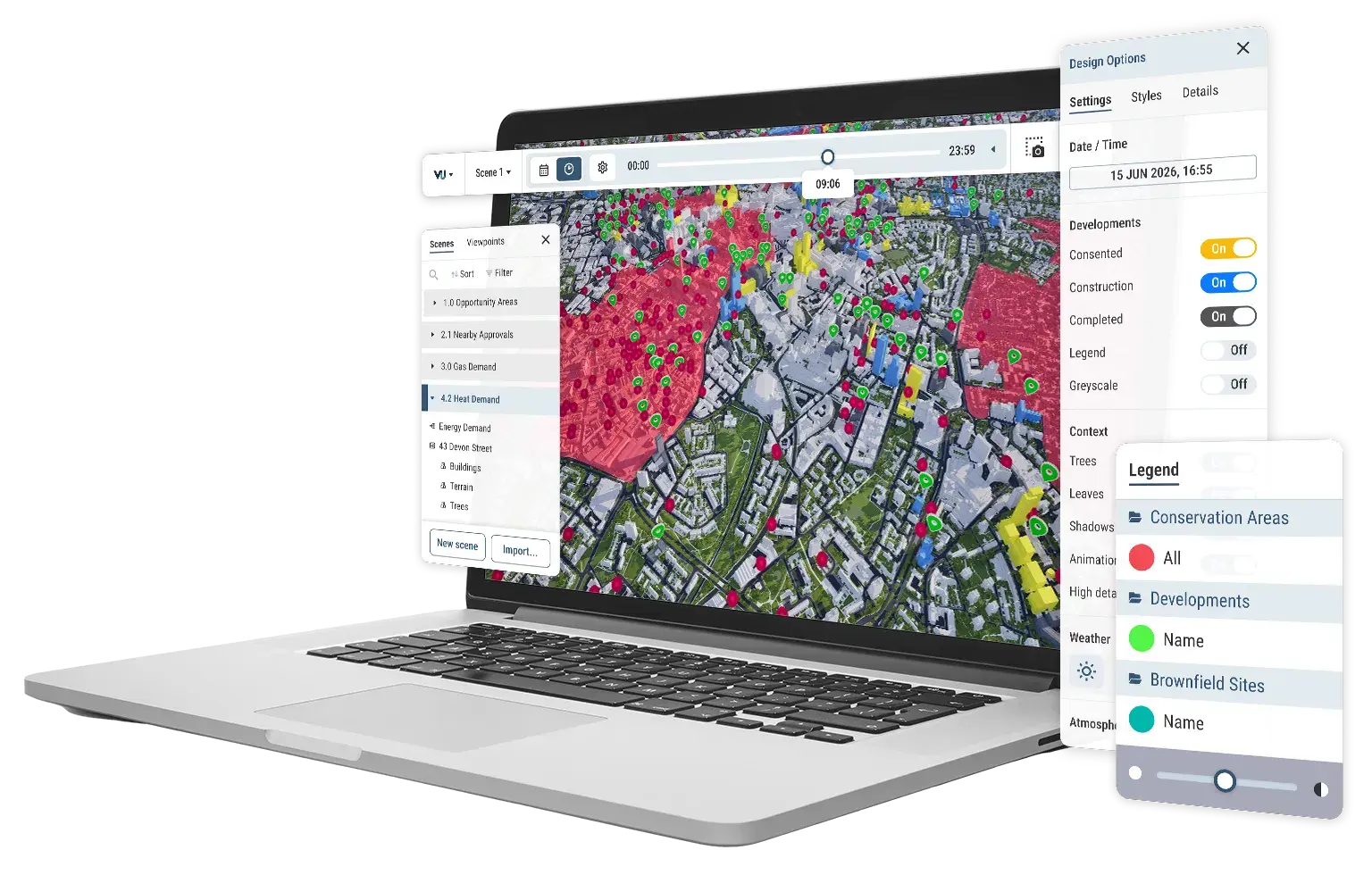
VU.CITY on a laptop showing scene manager, consented timeline, point and area data