


VU.CITY-icon-New-York-light
3D-icon-alt-white

New York 3D City Model

Make smarter decisions with New York’s digital twin

Explore, plan, analyse and present your work on a survey-accurate 3D model of New York, including approved and under-construction buildings. Use rich data layers to assess site potential, spot constraints early and reduce project risk, all in one digital twin your whole team can work in.

Built for built environment professionals, from architects and planners to developers and asset managers.

New York City hero
  • data-icon-white-2
    16
    DATA LAYERS
  • 116 sq km
    MODELLED TO 15CM ACCURACY
  • 4
    HIGH DETAIL BUILDINGS
  • 22
    Consents approved
  • 91,758
    TREES, ACCURATE HEIGHT AND CANOPY

See New York's past, present & future in VU.CITY

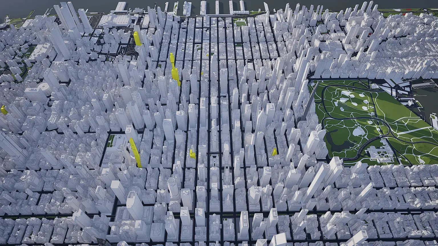
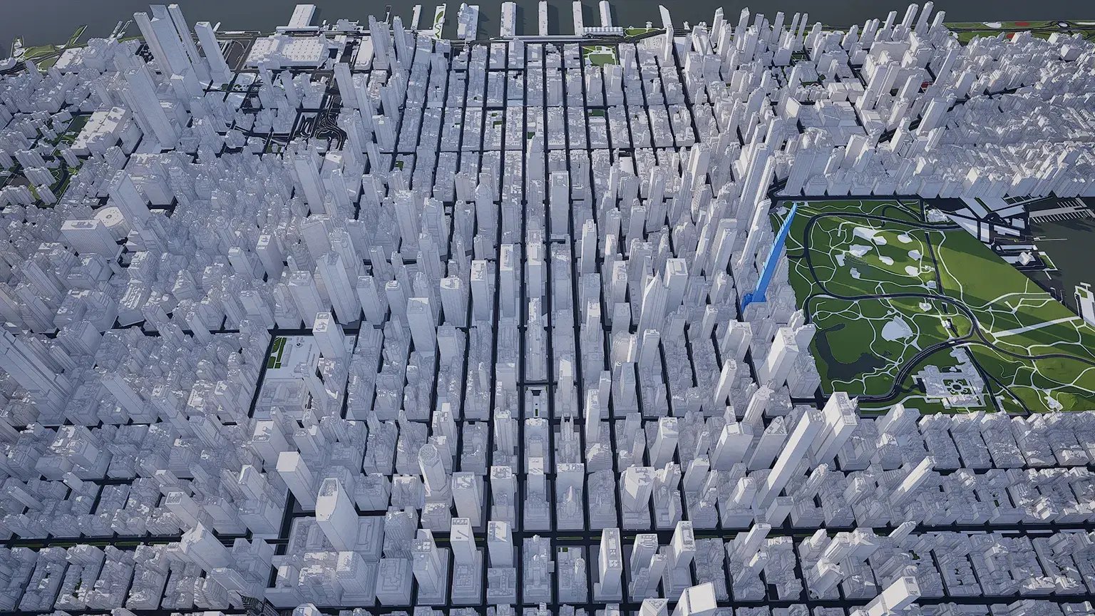
New York consented timeline 2026 shown in VU.CITY New York in 2016 New York in 2026
Models. Data. Tools. All in one platform.

Oxford Carfax Accuracy

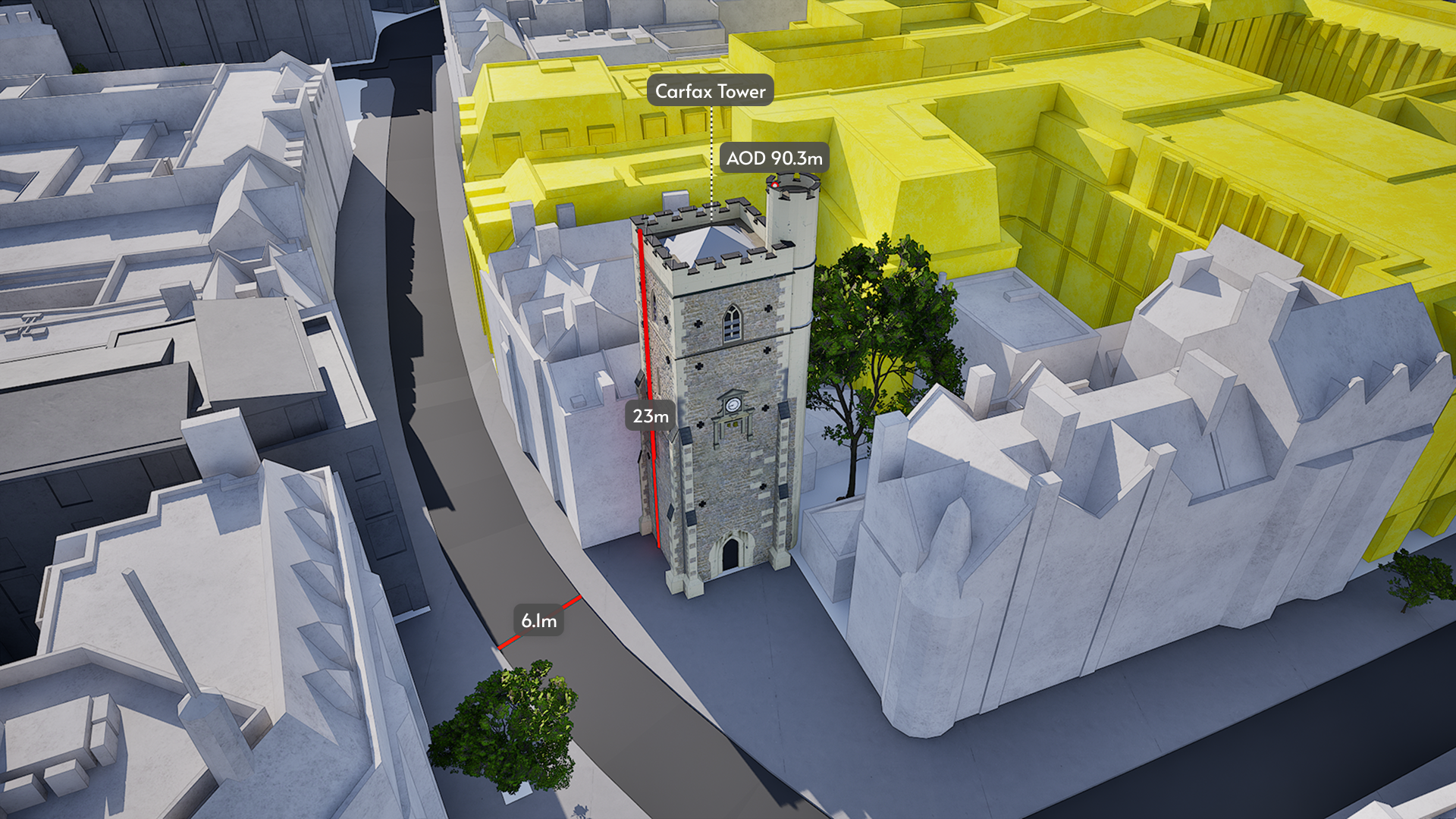
We provide the most accurate and detailed managed city models available. ±15cm for all buildings, trees and terrain.

Developments + data

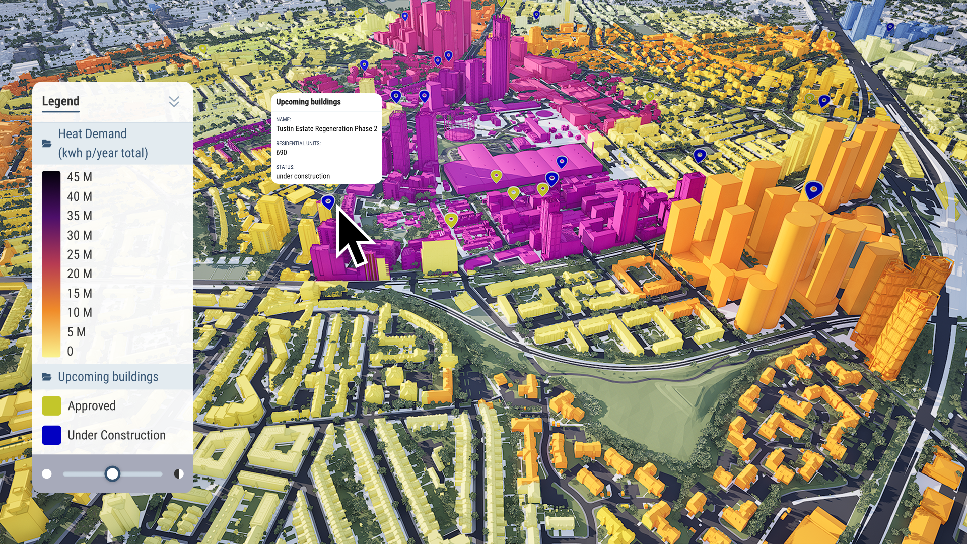
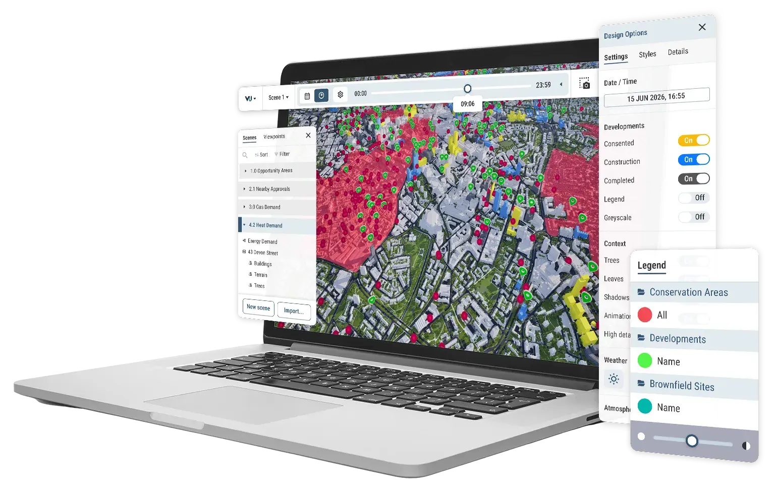
Our public data is available to all users. You can also import your own, private data for your projects. Visualise, analyse and filter large-scale data sets with ease.

3D draw

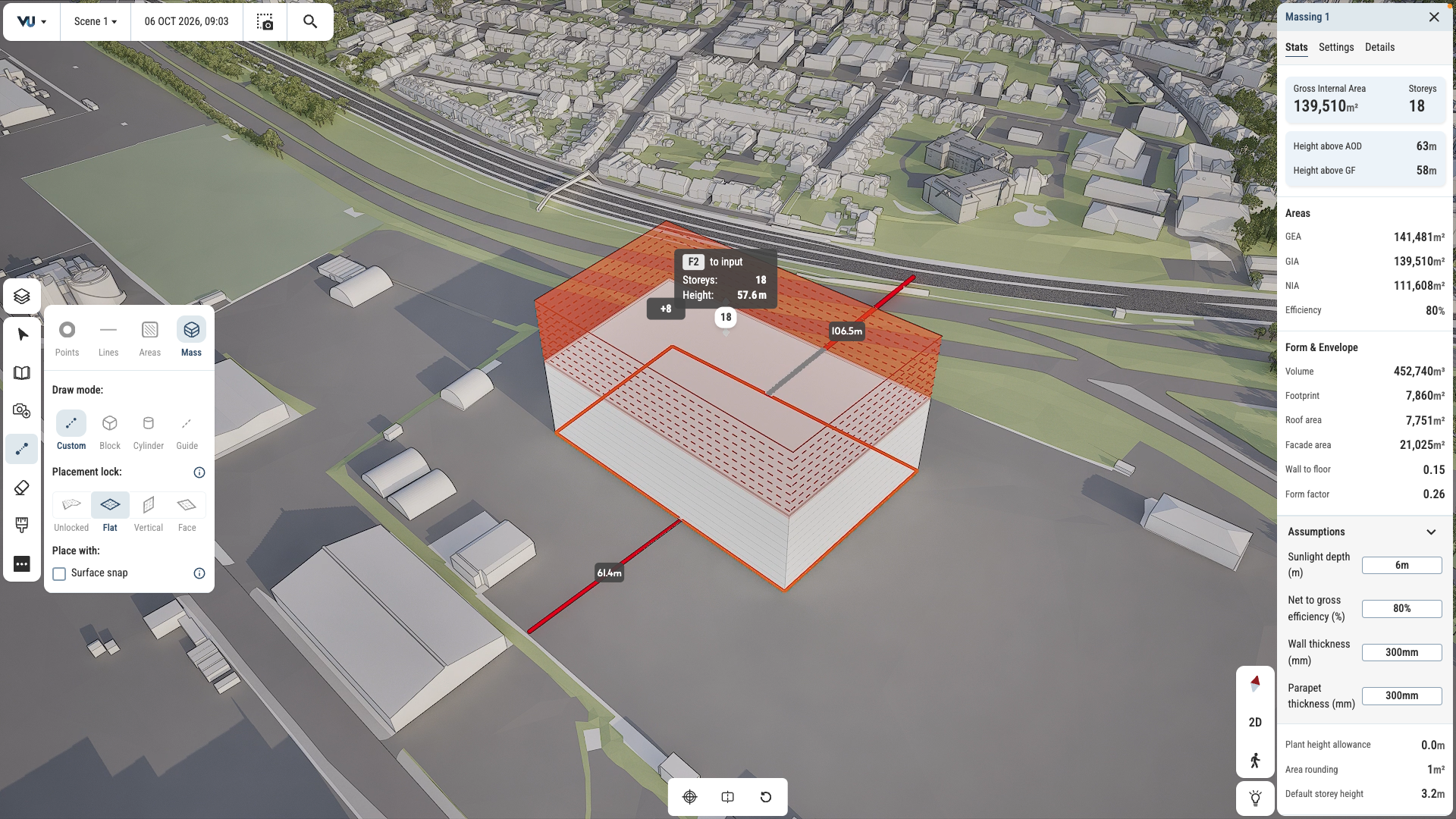
Test and iterate ideas in survey-accurate context. Draw in 2D and 3D. Mark up plans and create maps with stakeholder-ready visual quality.

VU.CITY ZTV Analysis-1

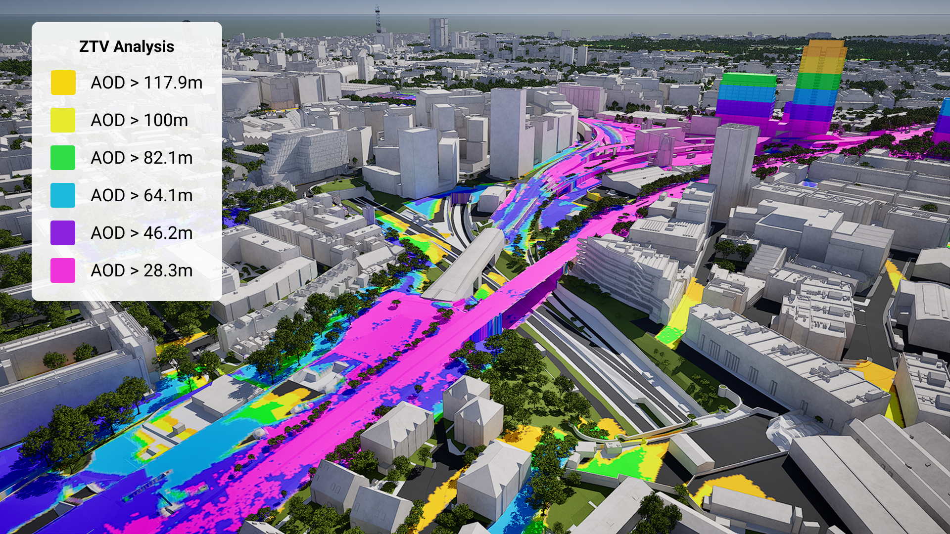
Generate ZTV studies and viewsheds in just a few clicks. See sunlight paths and overshadowing instantly.

Visualise Real Estate assets and their views out in 4D

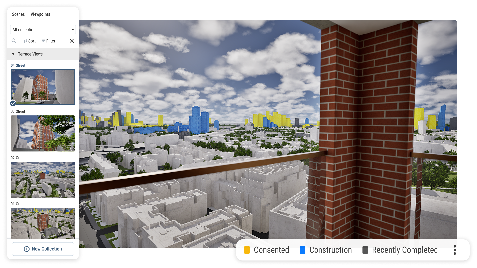
Create guided tours and presentations, export high quality imagery and share files with stakeholders for seamless collaboration and feedback.

GeometrySurvey-grade 3D city models
DataA public data library
Design toolsDraw, measure, annotate
Analysis toolsVisibility, sunlight and more
Presentation toolsTell your story, your way

Survey accurate New York coverage

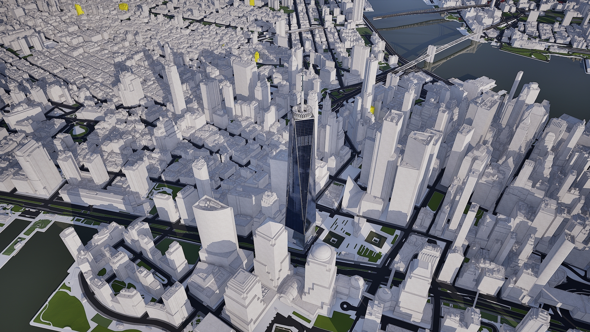
From Lower Manhattan to Central Park and beyond, our New York 3D model is mapped to 15cm accuracy.

data-icon-white-2

New York data layers for contextual viability

From transportation and zoning to environmental factors, the data layers in VU.CITY’s New York 3D model provide essential insights for more informed and confident decision-making.

Environmental

  • Stormwater flood map, moderate flood

Planning & Development

  • Bicycle routes

  • Boroughs

  • Complete inactive projects points 

  • Government facilities

  • LR complete and inactive projects

  • Parking lots

  • Parks

  • Subway lines

  • Zoning districts (polygon)

Transport & Accessibility

  • Subway entrances

  • Subway stations

Hover over each card to see more

Explore VU.CITY's tools

VU.CITY-icon-New-York-light

VU.CITY New York is one of the most accurate interactive 3D models available in the built environment industry.

VU.CITY New York: an accurate 3D model of the world’s most iconic skyline

New York City has the most iconic skyline in the world and yet is renowned for its ‘pull down and build over again spirit’ with constant architectural change. Little wonder that Robert Moses, the city planner who shaped NYC for 30 years into a contemporary city once said, ‘New York will be a great town if they ever finish it.’

OneNYC 2050 is a strategy to secure the city’s future with big solutions to big challenges, including plans to create and preserve 300,000 units of affordable housing and generate 100,000 good-paying jobs.

OneNYC 2050 details plans to create a network of quality open spaces that connect playgrounds, parks, and plazas to homes and workplaces with bicycle and pedestrian infrastructure, and to activate hidden open spaces, including the waterfront and areas under elevated trains and highways. 

VU.CITY New York City is a 3D digital model that will revolutionise how professionals across the built environment approach this iconic city’s challenges. It creates a virtual environment in which to test new ideas, with rich functionality and data, and lead to a clear understanding of what’s proposed for better decision-making and positive outcomes for the city's future—whether it's sustainability, infrastructure, or community development.

New York’s next chapter

New York is planning for its biggest wave of new housing in decades. The City of Yes for Housing Opportunity has modernised zoning rules across all five boroughs, and the Midtown South Mixed-Use Plan has rezoned 42 blocks around Penn Station, Herald Square and Bryant Park to allow thousands of new homes, including office-to-residential conversions, in one of the city’s most transit-rich areas.

With VU.CITY New York, you can see approved and under-construction schemes in context and test how your own plans will sit alongside them.


VU.CITY New York FAQs

Here are some frequently asked questions about VU.CITY's New York 3D Digital Twin and Model.

How does the VU.CITY New York model help with sustainable urban planning?

The model supports sustainable planning by providing tools for sunlight analysis, carbon impact assessments, and environmental data layers. These features align with New York’s One NYC 2050 goals for reducing emissions and creating green infrastructure.

Can I use the New York model to test different design and massing options?

Yes, the VU.CITY New York model allows users to explore multiple massing options and quickly assess General Employment Area (GEA) potential. This enables developers to refine designs early and make well-informed adjustments based on visual impact.

How does the VU.CITY New York model improve stakeholder engagement?

With tools like the Presenter Tool and camera studies, you can create high-quality visuals from key viewpoints, helping stakeholders visualise the impact of projects on New York’s iconic skyline. This fosters clearer communication and encourages informed feedback.

What environmental and zoning data layers are available in the New York model?

The model includes layers for sunlight analysis, flood risk zones, zoning regulations, and green spaces, allowing planners and developers to make environmentally conscious decisions in line with New York’s urban policies. 

The New York 3D model includes 16 data layers covering zoning, environment, transport and more. You can also bring in your own data and view it alongside ours.

Who benefits from using the VU.CITY New York model?

Architects, planners, developers, and city officials benefit from this model. It streamlines complex urban planning processes, supports informed decision-making, and helps align new developments with New York’s strategic goals for growth and sustainability.

Explore digital 3D geospatial solutions for the built environment

VU.CITY provides clear, powerful tools for key decision-makers across the built environment, helping them visualise and shape the future of cities with confidence and precision.

Make smarter decisions with data-driven insights, from infrastructure to sustainability.

Unlock the power of Generative AI for optimal design and streamlined decision-making.

Bring your designs to 3D life with state-of-the-art modelling tools.

Licence any VU.CITY city and design, test and present your project in its real context.

Utilise advanced 3D models and a data-driven approach with our flexible ZTV service.

Showcase your proposal in its real-world context with compelling, easy-to-understand flythroughs.
VU.CITY on a laptop showing scene manager, consented timeline, point and area data