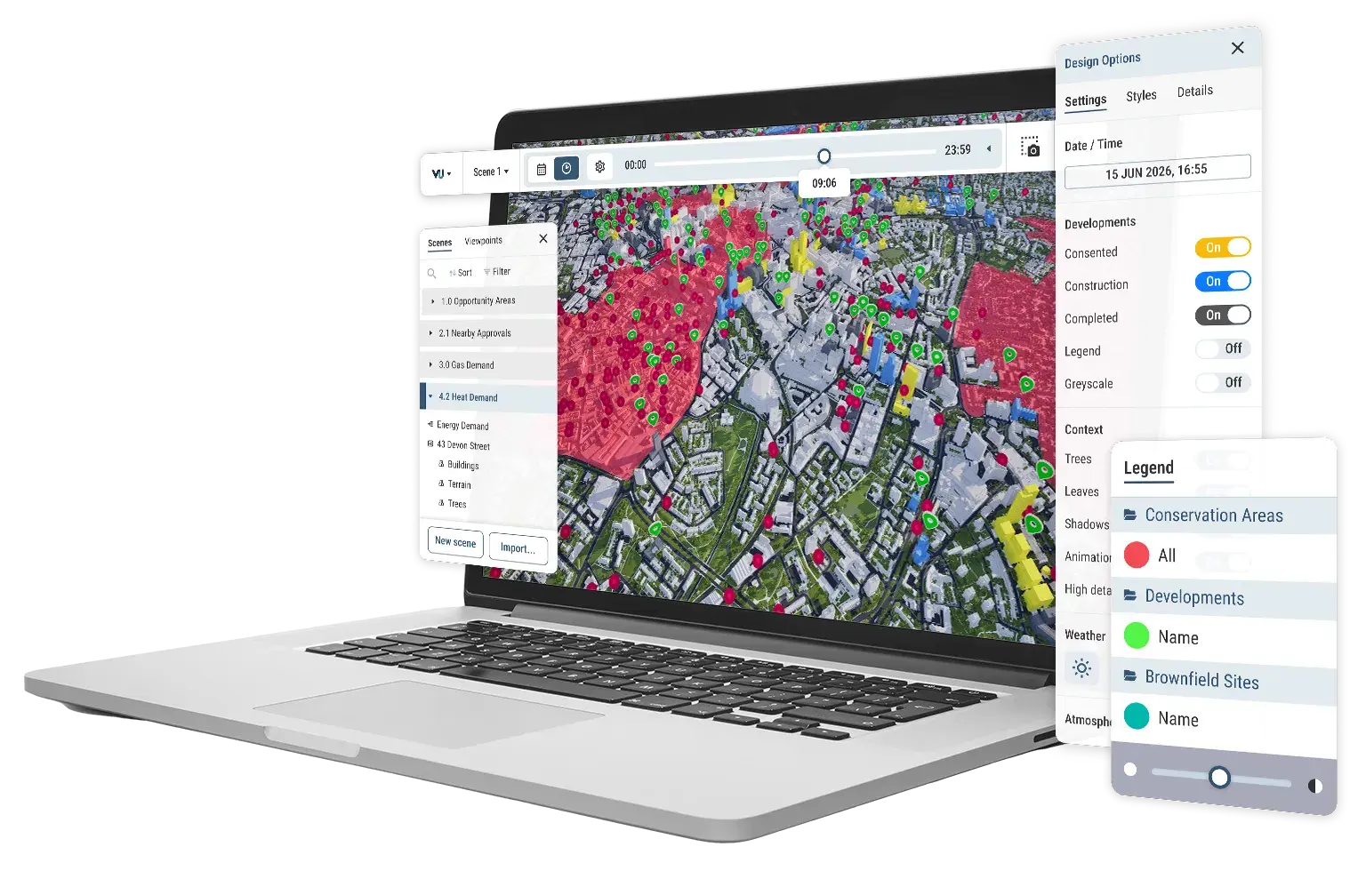





Models
The most accurate and detailed managed city models in the UK&I. Over 3,500km² of coverage.


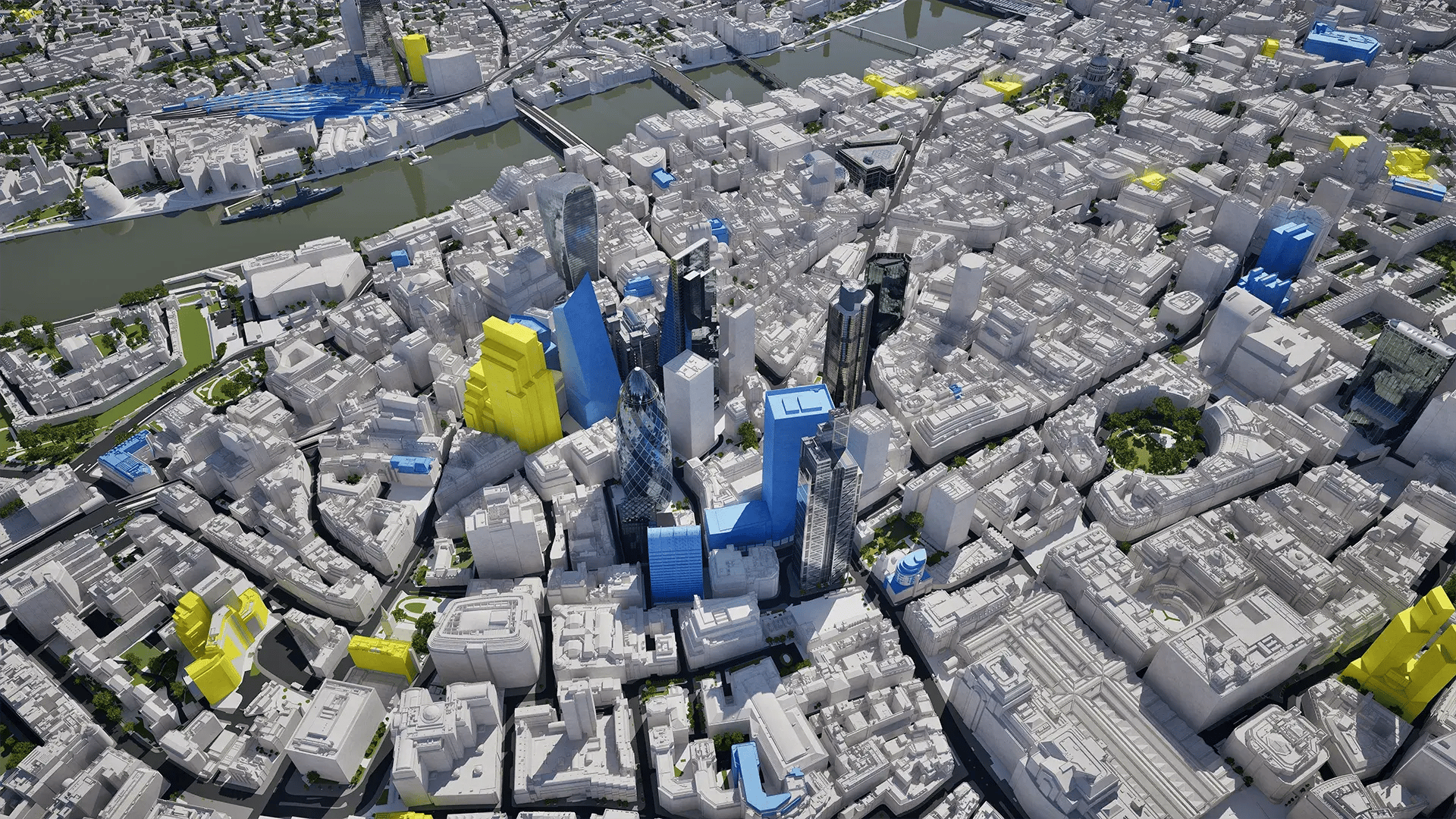
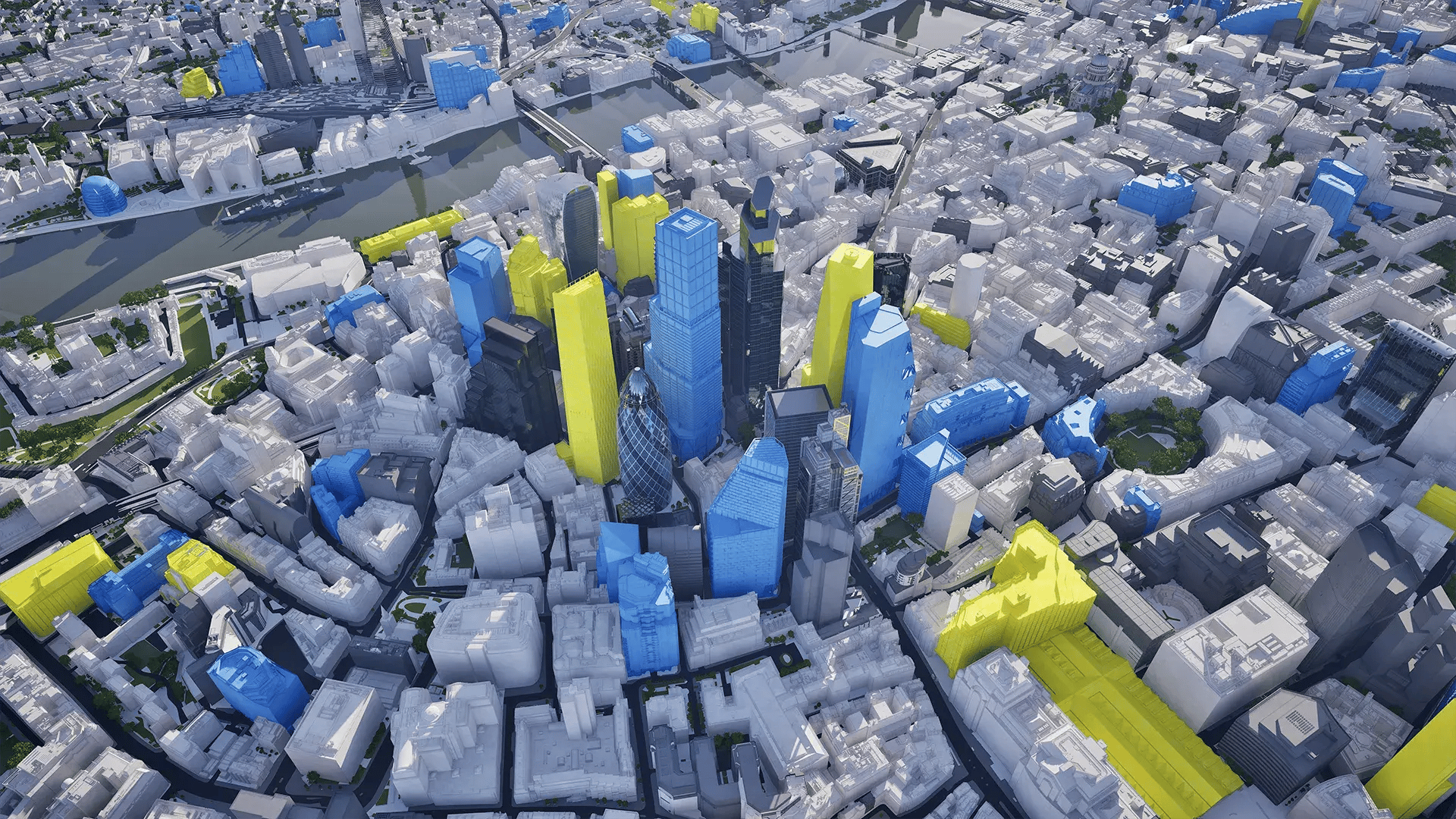 London 2016
London 2027
London 2016
London 2027
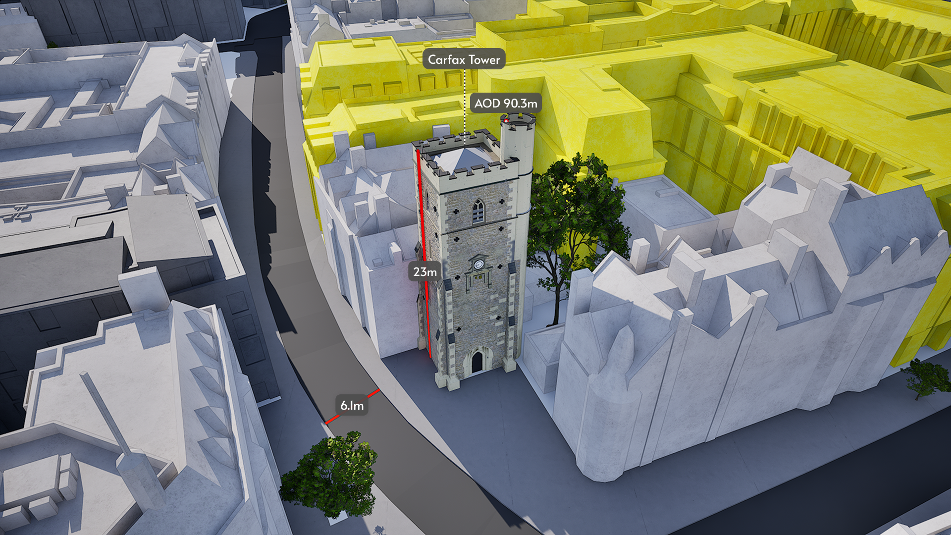
Consistent, reliable accuracy at scale
Across all 26 cities, our models are positionally accurate to within 15cm for buildings, trees and terrain. That consistent level of detail gives you reliable city context to work from, wherever you're working.
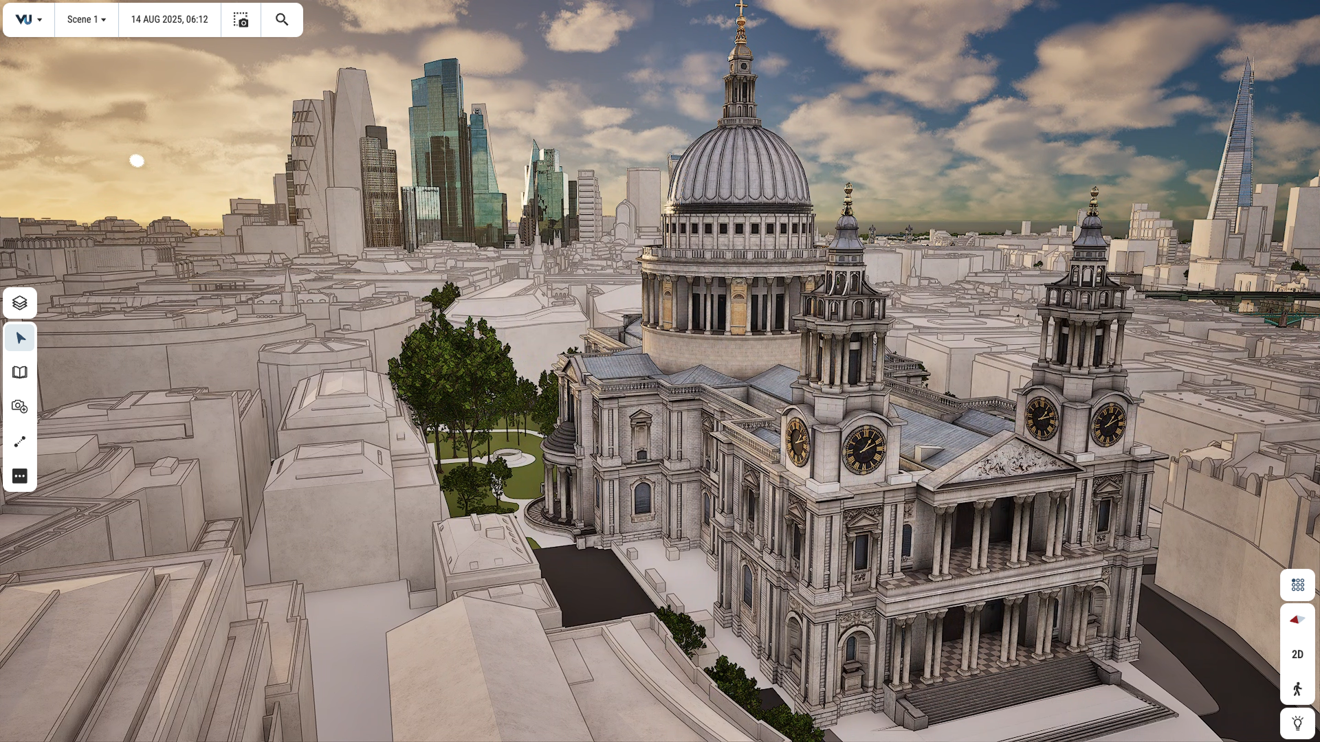
Visual quality, as standard
Our platform combines consistent accuracy and detail with market-leading visualisation technology. Our cities include many high detail buildings, hyper-realistic lighting and environmental effects that bring your stories to life.
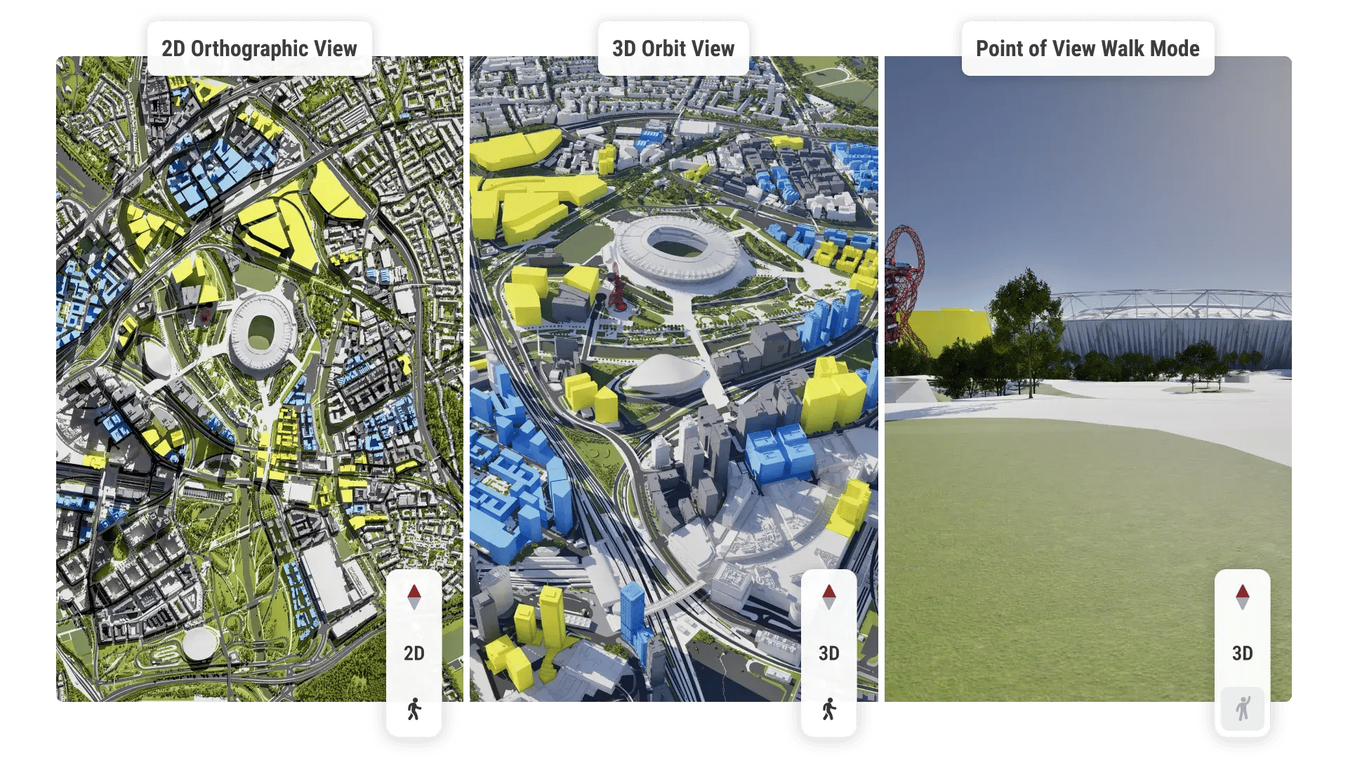
2D, 3D and POV views
Switch between 2D, 3D and POV views in a single click. Explore buildings or areas from different angles, then present or share high-quality views of your work.
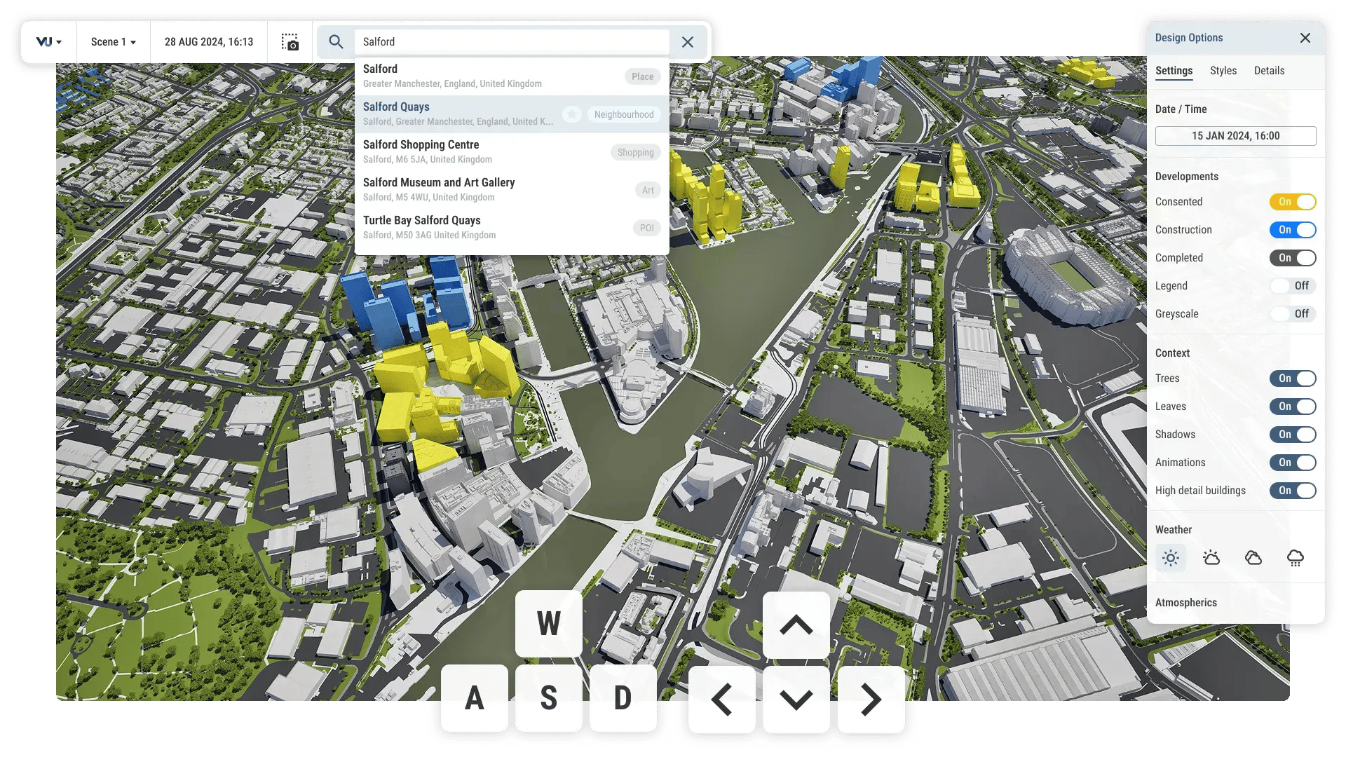
Simple navigation tools
Navigate urban areas using mouse and keyboard controls, location search and jump-to options. Quickly find the place, building or element you need.
Coverage across 26 UK & International cities


Customise and edit your 3D canvas
Hide, highlight and style elements on the canvas to focus on the detail that matters to you. Create a view that works for your project, analysis or presentation.
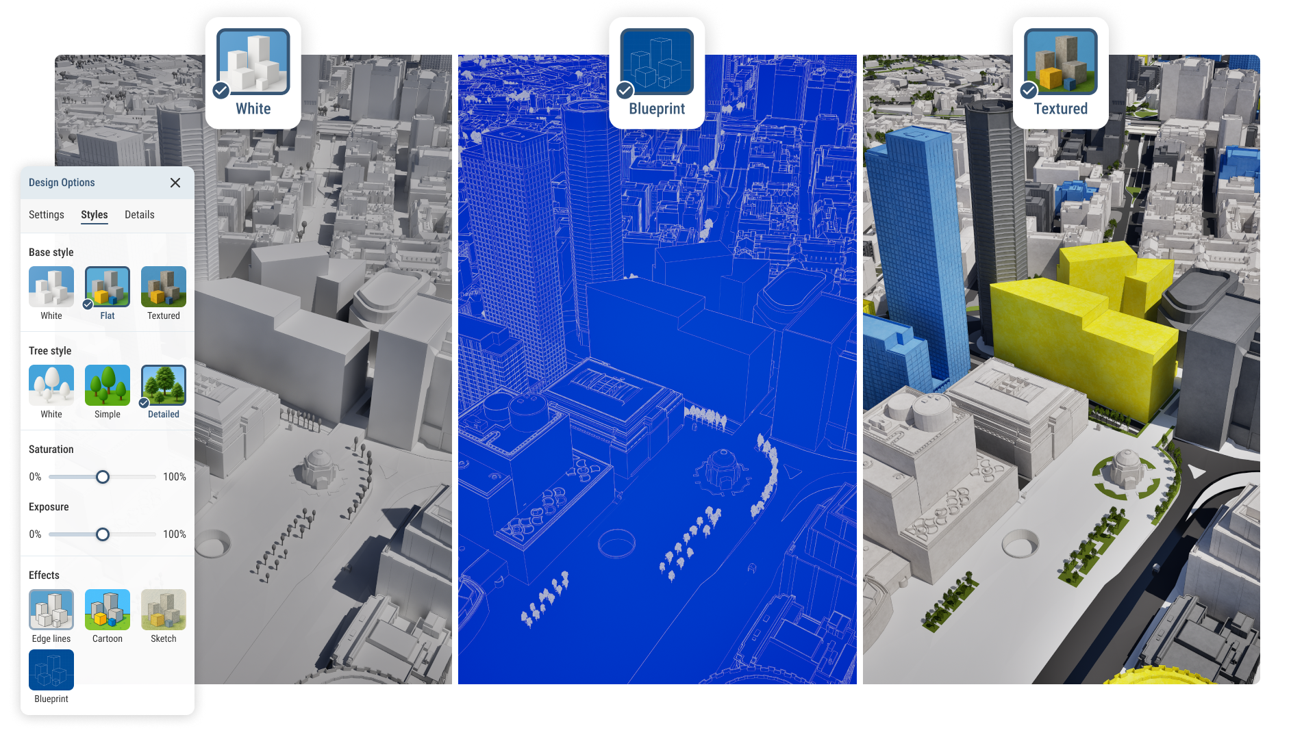
Preset styles for every need
Choose from preset map styles or adjust exposure, saturation and other visual settings to create the right view for your work.
Join a community of 6000+ users across 200+ organisations