


Glasgow 3D Model
Work with confidence using Glasgow’s digital twin.
Explore, plan, analyse and present your work on a survey-accurate 3D model of Glasgow, including approved and under-construction buildings. Use rich data layers to assess site potential, spot constraints early and reduce project risk, all in one digital twin your whole team can work in.
Used by leading Glasgow practices. Built for built environment professionals, from architects and planners to developers and asset managers.
-
39DATA LAYERS
-
73.25 sq kmMODELLED TO 15CM ACCURACY
-
3HIGH DETAIL BUILDINGS
-
118Consents approved
-
198,085TREES, ACCURATE HEIGHT AND CANOPY
See Glasgow's past, present & future in VU.CITY
Models. Data. Tools. All in one platform.
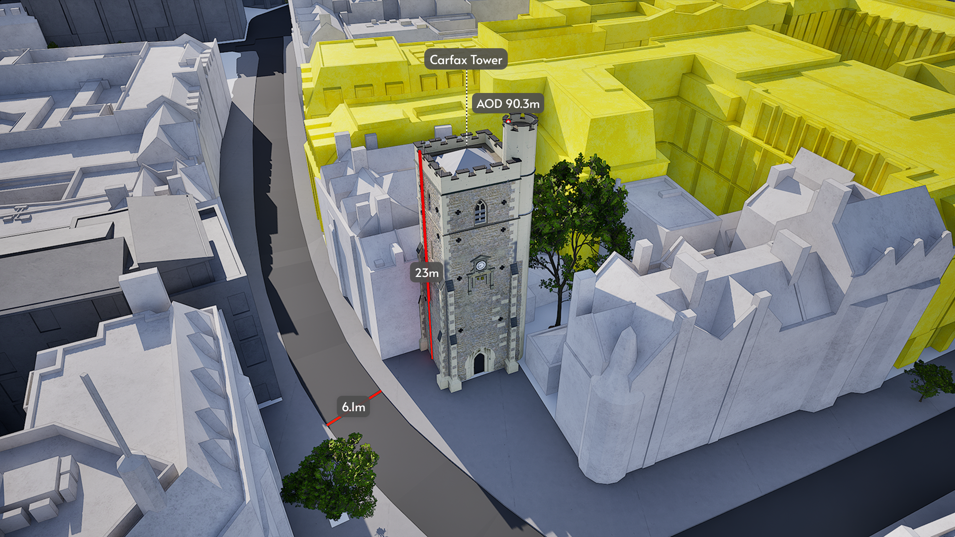
We provide the most accurate and detailed managed city models available. ±15cm for all buildings, trees and terrain.
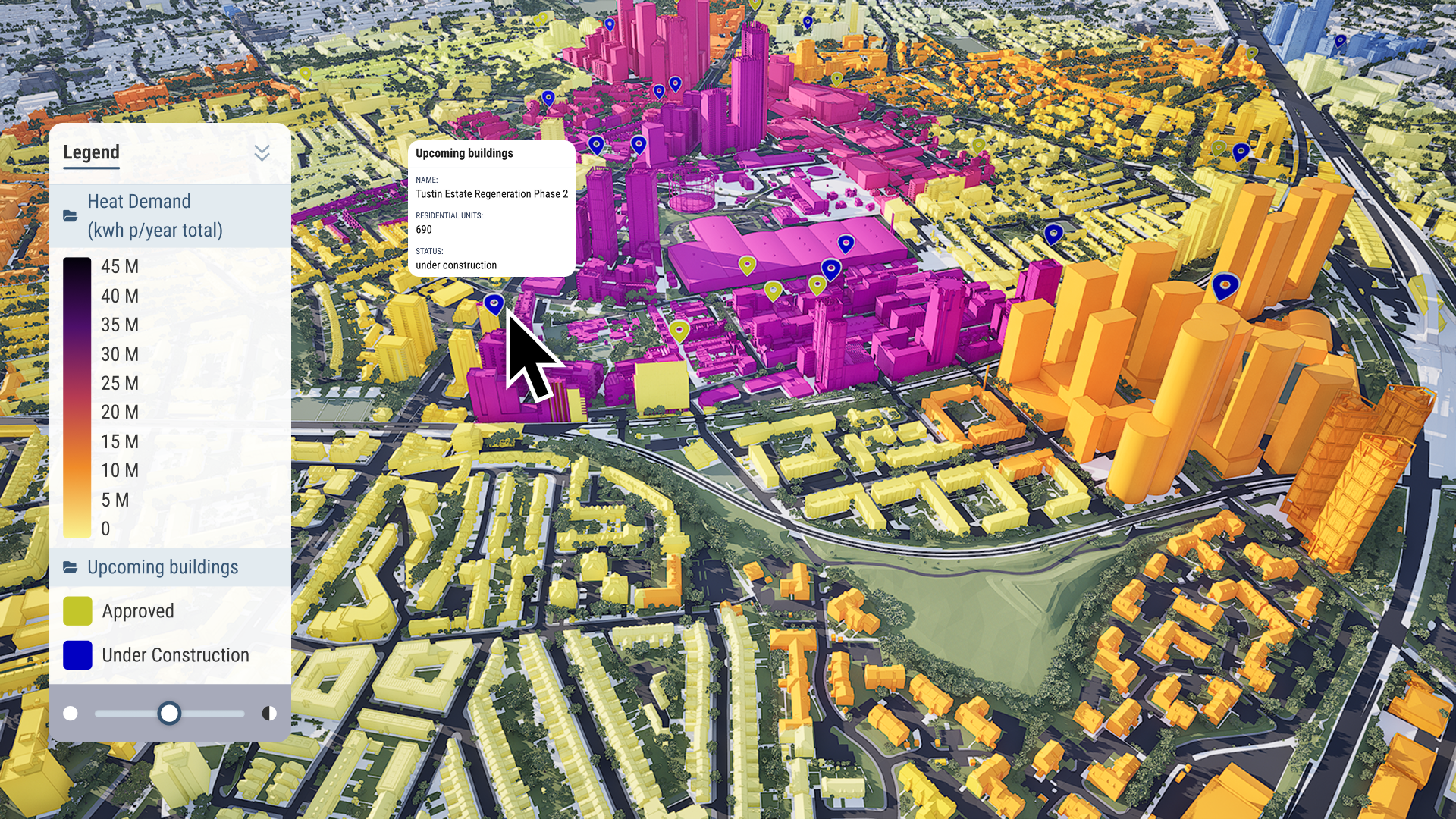
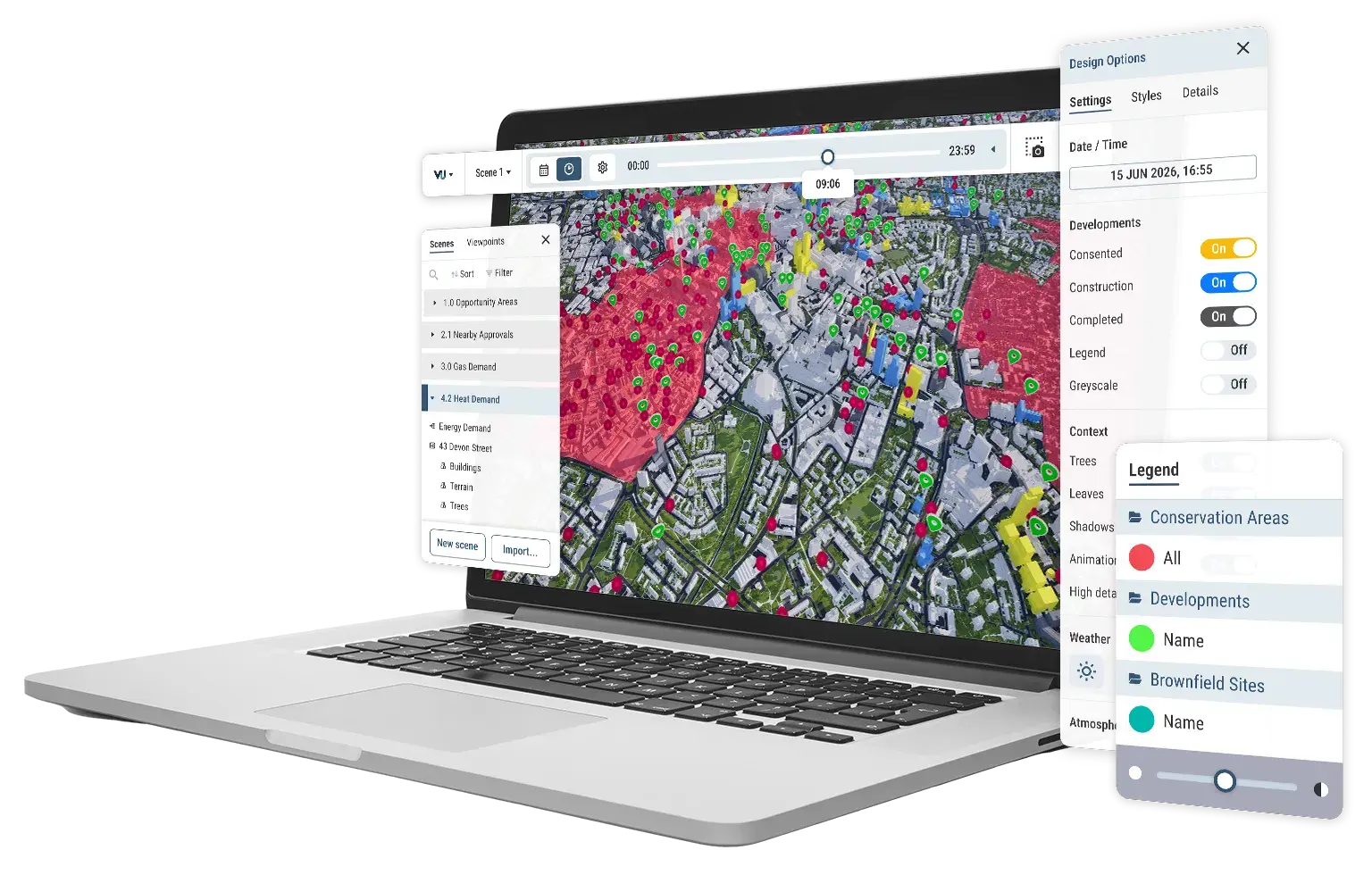
Our public data is available to all users. You can also import your own, private data for your projects. Visualise, analyse and filter large-scale data sets with ease.
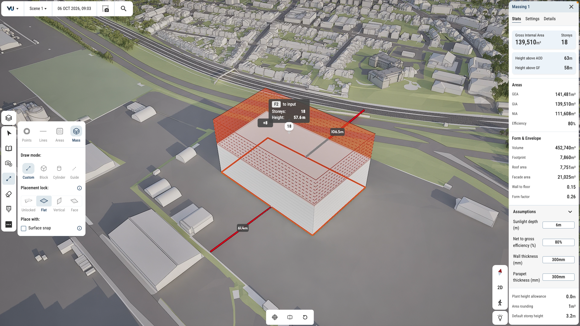
Test and iterate ideas in survey-accurate context. Draw in 2D and 3D. Mark up plans and create maps with stakeholder-ready visual quality.
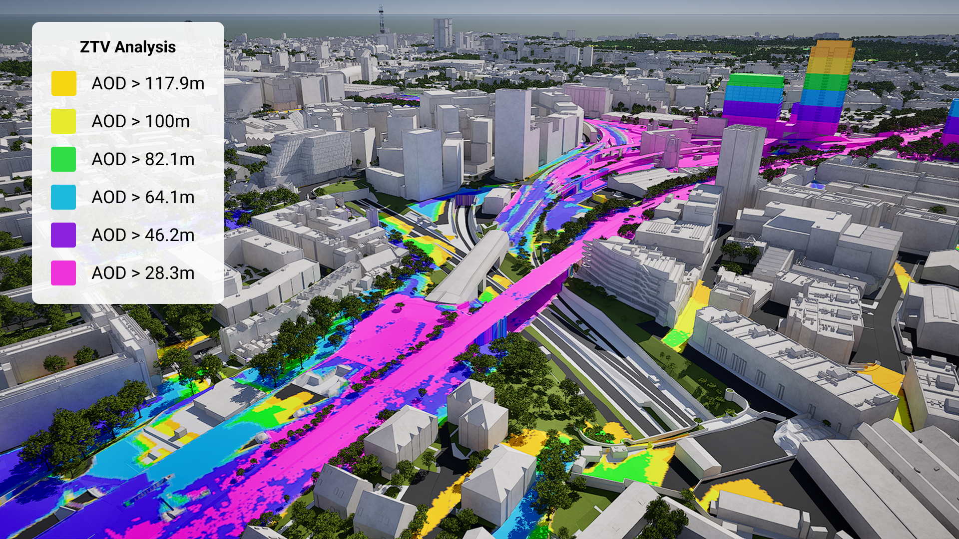
Generate ZTV studies and viewsheds in just a few clicks. See sunlight paths and overshadowing instantly.
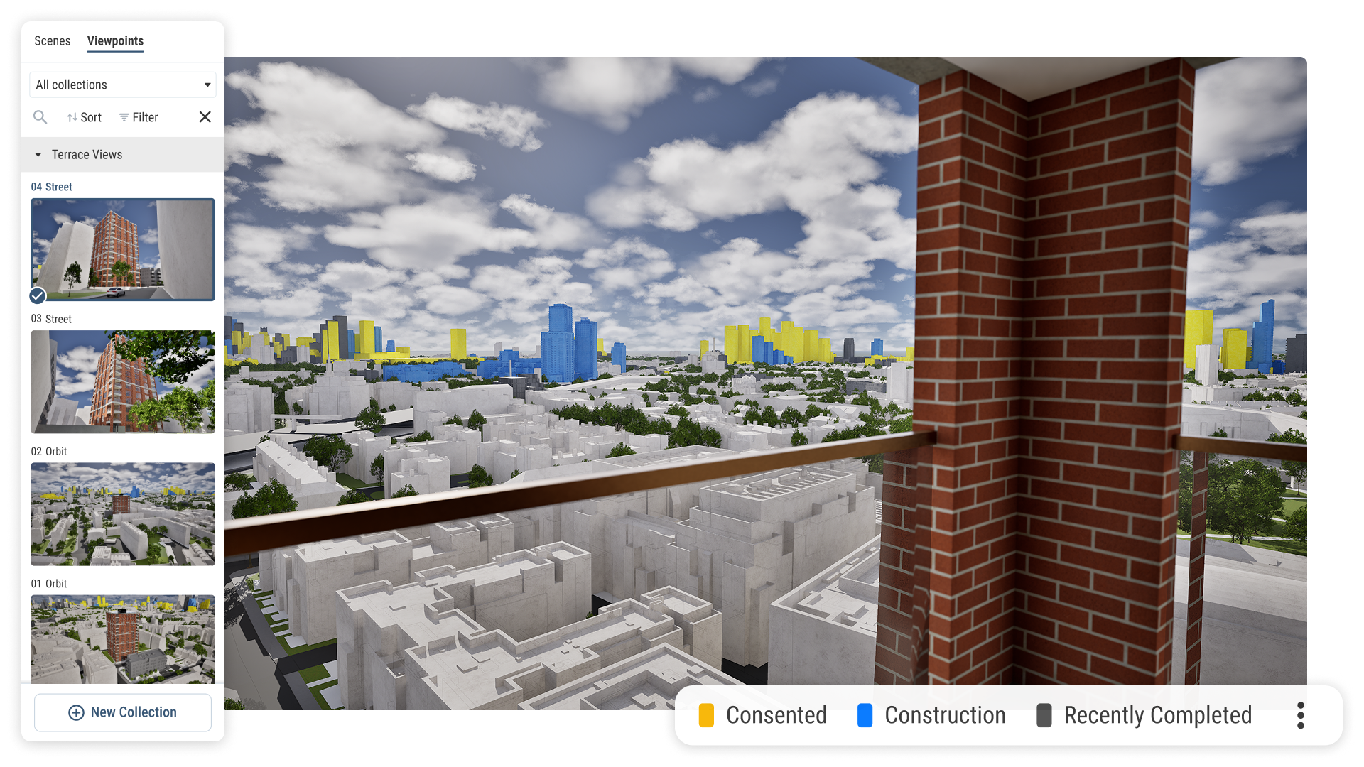
Create guided tours and presentations, export high quality imagery and share files with stakeholders for seamless collaboration and feedback.
Survey accurate Glasgow coverage
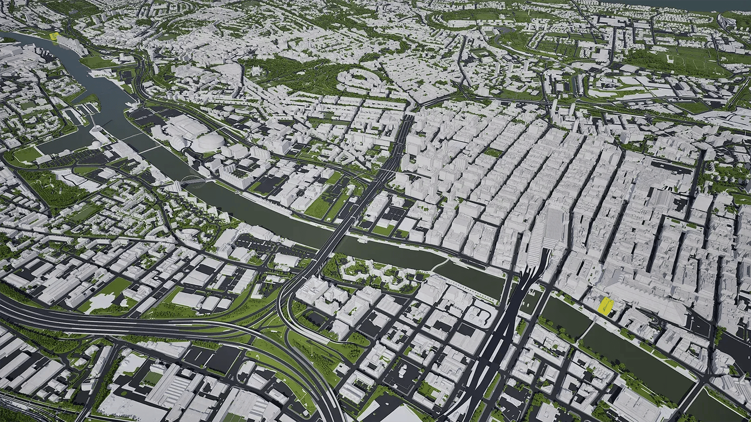
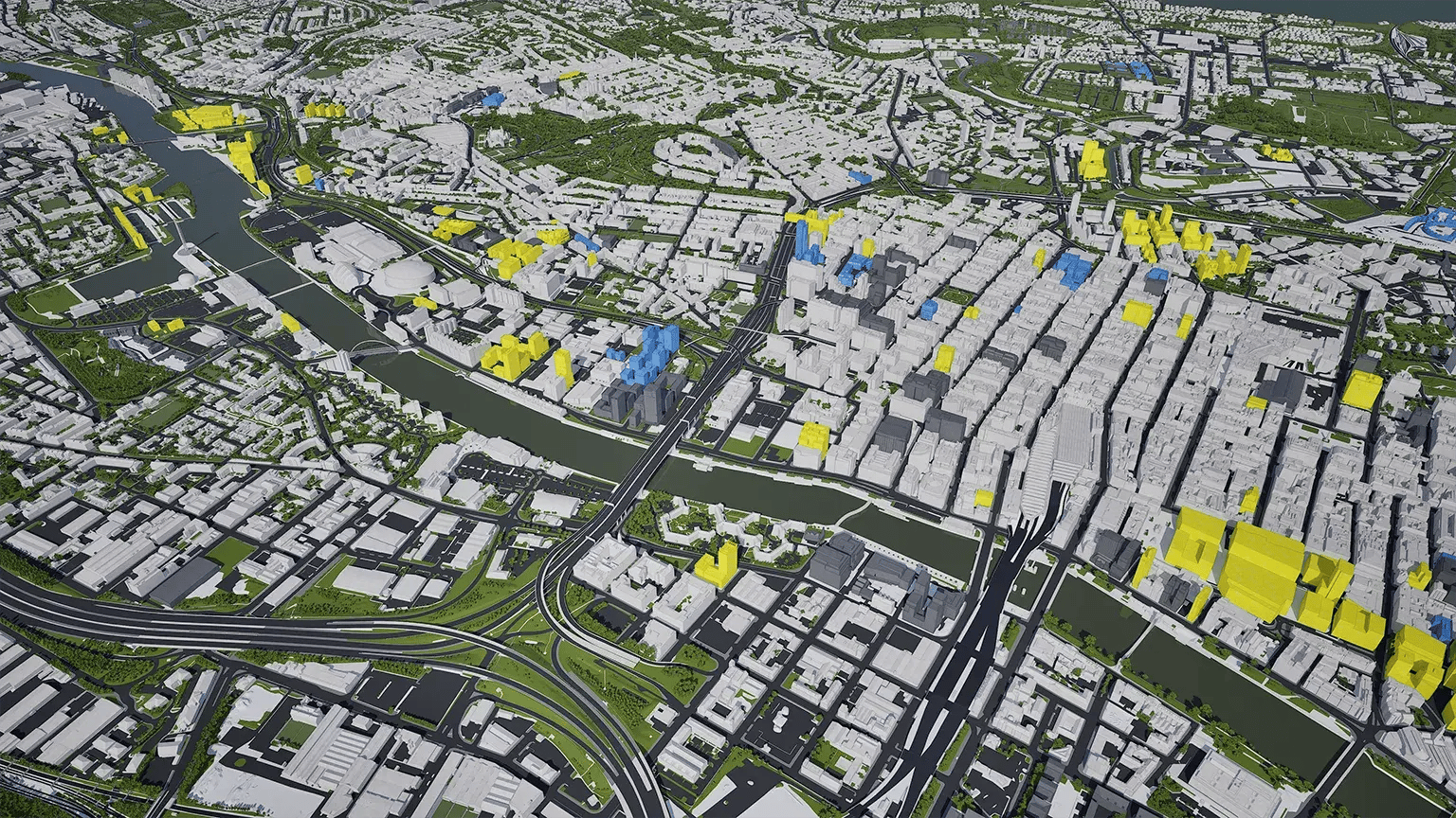
From the Clyde waterfront to the whole city, our Glasgow 3D model is mapped to 15cm accuracy.
Glasgow data layers for contextual viability
From transport and heritage to environmental factors, the data layers in our Glasgow digital twin give you the context to make confident decisions.
Amenities & Services
-
Local Important Buildings
-
Retail Boundaries
-
Supermarkets
Crime & Safety
-
CCTV Locations
Energy & Utilities
- Internet Speed
Environmental
- Air Quality Management Areas
- Local Nature Reserves
- Low Emission Zones
- Sites of Importance for Nature Conservation
- SSSI
Green Spaces & Open Areas
-
Greenspace Sites
Heritage & Conservation
-
Conservation Areas
-
Listed Building Points
-
Listed Buildings Polygons
-
Protected Rail Solum
-
Scheduled Monuments
-
Tree Preservation Orders
Planning & Development
-
Article 4 Direction
-
Car Parks
-
Citywide Policy Area
-
Developments
-
Economic Development Areas
-
Greenbelt & Green Network
-
Housing Land Supply
-
Industrial and Business Land
-
Masterplan Areas
-
Network of Centres
-
Planning Applications PointsPlanning
-
Applications Polygons
-
Transformation Regeneration Areas
-
Vacant Derelict Land
Transport & Accessibility
-
Cycle Network
-
Clyde Walkway
-
Fastlink Proposed Extension Route
-
Major Road Proposals
-
Pedestrian Cycle Link
-
Rail Station Proposals
Hover over each card to see more
VU.CITY Glasgow is the largest and most accurate interactive 3D model available.
VU.CITY Glasgow: a 3D city model for Scotland’s biggest city
Glasgow is a vibrant, exciting city with a unique character, shaped by its grand historic areas and striking contemporary architecture.
The Glasgow City Development Plan is the first of a new generation of local development plans for the city. It is in line with Scotland’s modernised planning system, aiming to give certainty for investment decisions for the public and private sectors by indicating where development, including regeneration, should and should not happen. By using VU.CITY, architects and developers can easily examine the feasibility of a proposed project in context and understand the visual impact on nearby listed buildings and heritage sites at a very early stage, with information also readily available on approved schemes and developments under construction.
Glasgow City Council aims to meet the plan’s objectives of re-shaping Glasgow’s employment locations, changing the economy in the process. It also aims to provide high quality, accessible residential environments and town centres, and find climate change and drainage solutions while enhancing nature and biodiversity. VU.CITY’s digital platform enables all stakeholders to work towards a common goal in finding the best possible solutions in shaping Glasgow’s future.
Users of VU.CITY Glasgow include Michael Laird, Keppie Design, Iceni, Cooper Cromar, Stallan-Brand, and Oberlanders, all of whom are using the model’s many benefits. From being able to understand and assess a site’s opportunities and challenges, testing refined designs in context, enhancing pre-app conversations and planning submissions, to improving how everyone involved collaborates.
Glasgow’s next chapter
Glasgow is set to change dramatically over the next decade. The city centre is being reimagined, with the refurbishment of Buchanan Galleries, plans for a bigger and better St Enoch Centre and new City Innovation Districts. Along the Clyde, major waterfront schemes such as Buchanan Wharf are shifting the city’s business district south. Further out, the £250 million Sighthill regeneration is creating a new neighbourhood close to the city centre, while the proposed Clyde Metro could transform how people move around the city region. With VU.CITY Glasgow, you can see approved and under-construction schemes in context and test how your own plans will sit alongside them.
Built environment professionals, from architects and planners to developers and asset managers, use VU.CITY Glasgow to understand a site’s opportunities and challenges, test designs in context, strengthen pre-app conversations and planning submissions, and improve how everyone involved collaborates.
VU.CITY Glasgow FAQs
Here are some frequently asked questions about VU.CITY's Glasgow 3D Digital Twin and Model.
What is VU.CITY Glasgow, and how does it benefit urban development in the city?
VU.CITY Glasgow is an advanced 3D model that supports planners, developers, and architects by providing detailed visualisations and data to improve decision-making for Glasgow’s urban landscape.
How can VU.CITY Glasgow assist with planning applications and project approvals?
VU.CITY Glasgow offers clear, accurate 3D representations of proposed developments, helping streamline applications by allowing planners to communicate project impact effectively with stakeholders and regulatory bodies.
What specific data layers does VU.CITY Glasgow provide for urban analysis?
VU.CITY Glasgow includes data layers for transport networks, flood risk areas, listed buildings, green spaces, and local conservation zones, ensuring comprehensive project assessment and planning compliance.
How does VU.CITY Glasgow support sustainable and resilient urban planning?
VU.CITY Glasgow lets you test massing, daylight, sunlight and views against surrounding buildings, green spaces and heritage assets. Combined with environmental data layers, that helps you design schemes that support growth, nature and climate resilience.
How can VU.CITY Glasgow be used for public consultations and stakeholder engagement?
Yes. VU.CITY Glasgow creates interactive tours and high-quality imagery that make proposals easy for anyone to understand, helping residents see a scheme’s impact and benefits during consultation.
Explore digital 3D geospatial solutions for the built environment
VU.CITY provides clear, powerful tools for key decision-makers across the built environment, helping them visualise and shape the future of cities with confidence and precision.

Licence any VU.CITY city and design, test and present your project in its real context.

Coverage across 26 UK & International cities