


Edinburgh 3D Model
Design and plan with precision using Edinburgh’s leading digital twin
Explore, plan, analyse and present your work on a survey-accurate 3D model of Edinburgh, including approved and under-construction buildings. Use rich data layers to assess site potential, spot constraints early and reduce project risk, all in one digital twin your whole team can work in.
Used by leading Edinburgh practices. Built for built environment professionals, from architects and planners to developers and asset managers.
-
33DATA LAYERS
-
117 sq kmMODELLED TO 15CM ACCURACY
-
2HIGH DETAIL BUILDINGS
-
133Consents approved
-
746,658TREES, ACCURATE HEIGHT AND CANOPY
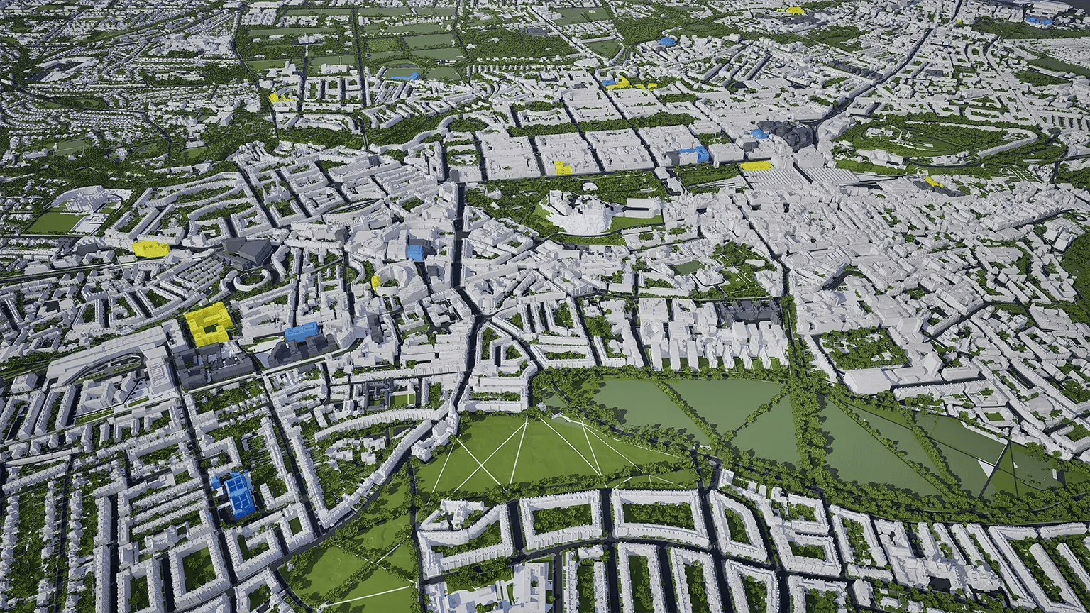
See Edinburgh’s past, present & future with VU.CITY
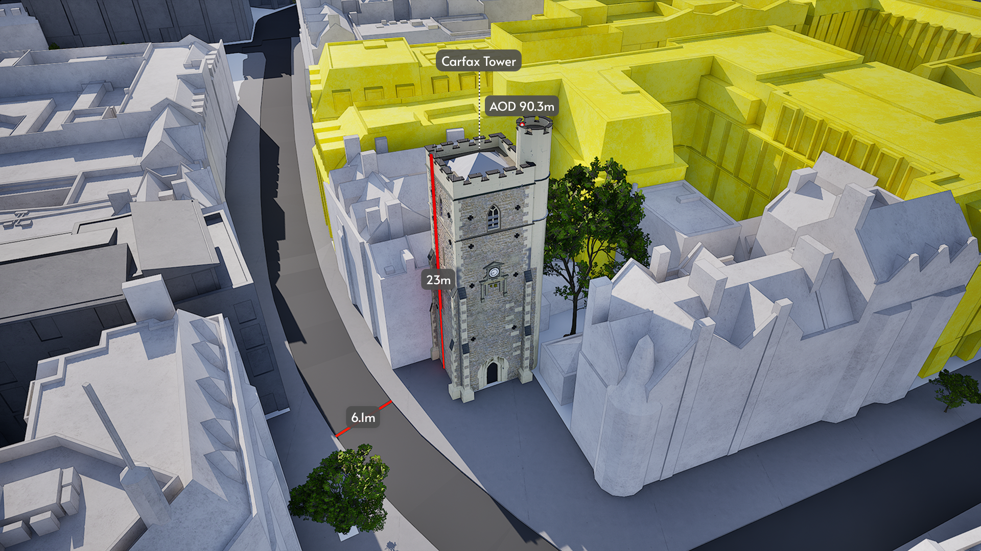
We provide the most accurate and detailed managed city models available. ±15cm for all buildings, trees and terrain.
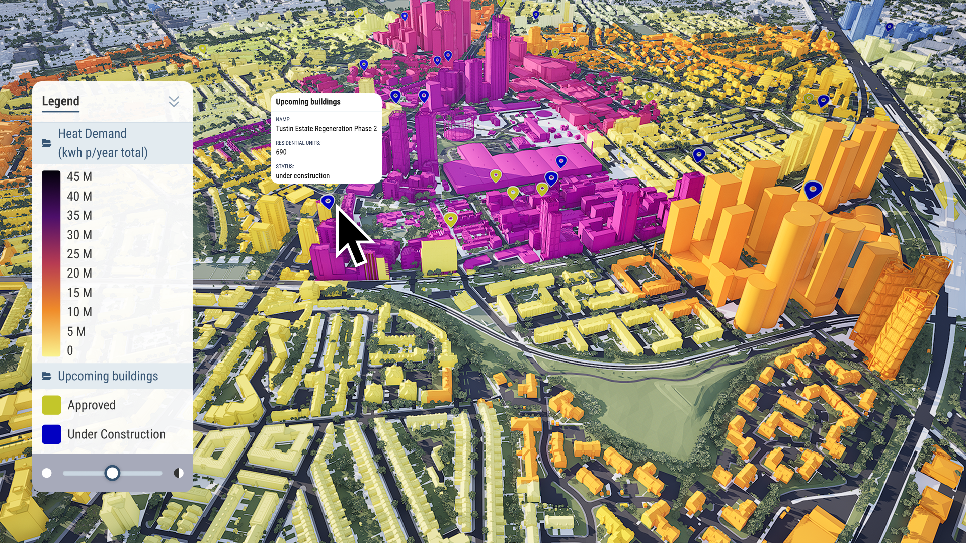
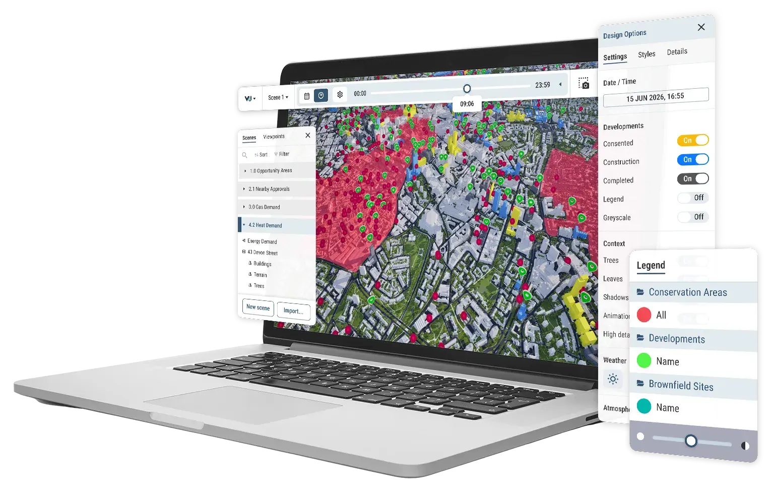
Our public data is available to all users. You can also import your own, private data for your projects. Visualise, analyse and filter large-scale data sets with ease.
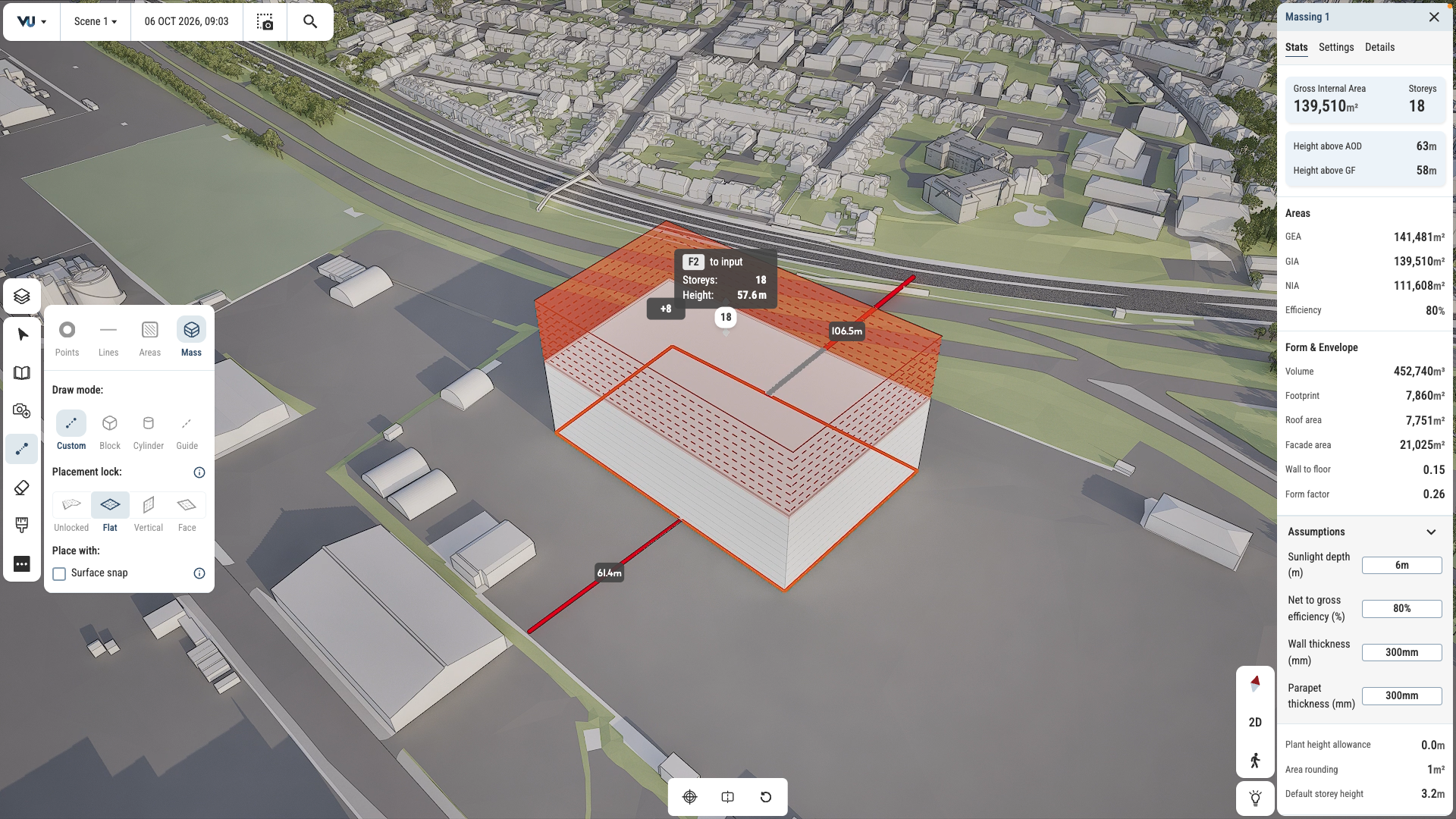
Test and iterate ideas in survey-accurate context. Draw in 2D and 3D. Mark up plans and create maps with stakeholder-ready visual quality.
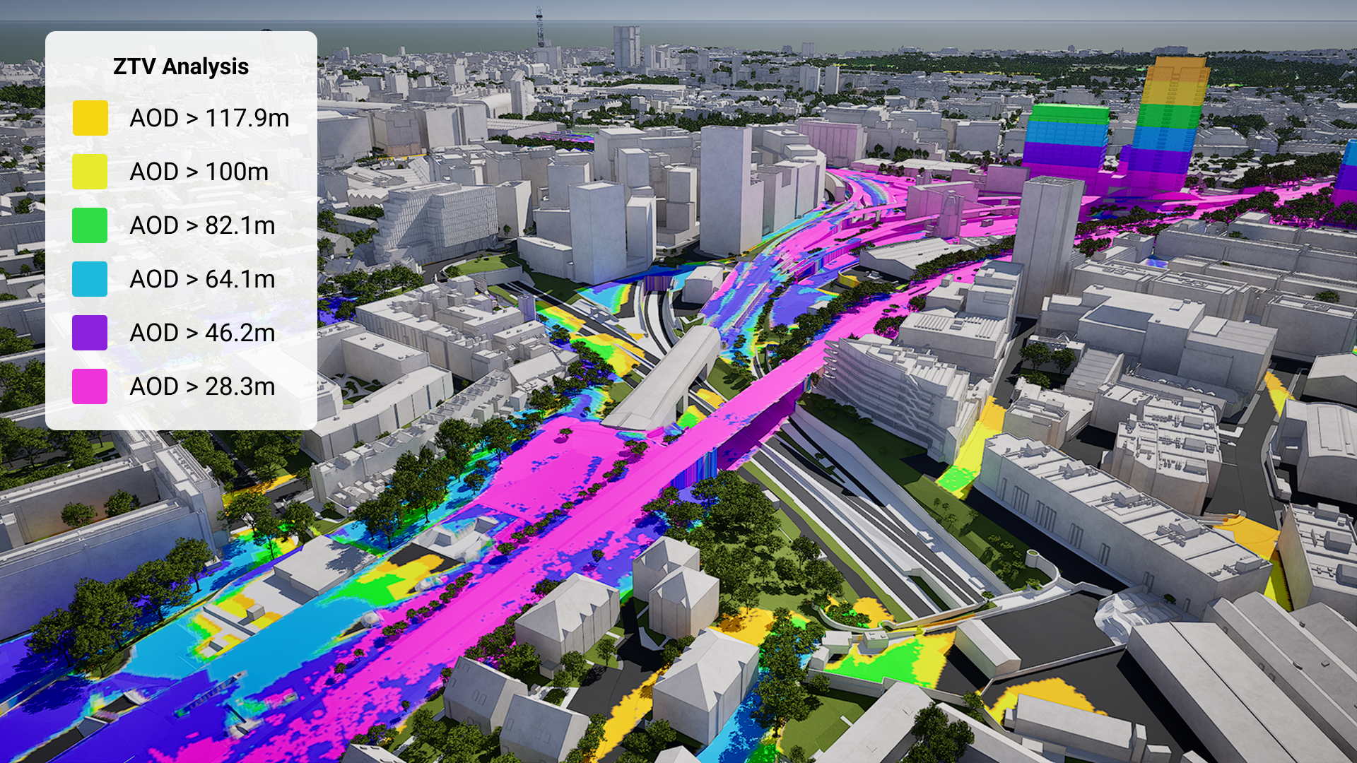
Generate ZTV studies and viewsheds in just a few clicks. See sunlight paths and overshadowing instantly.
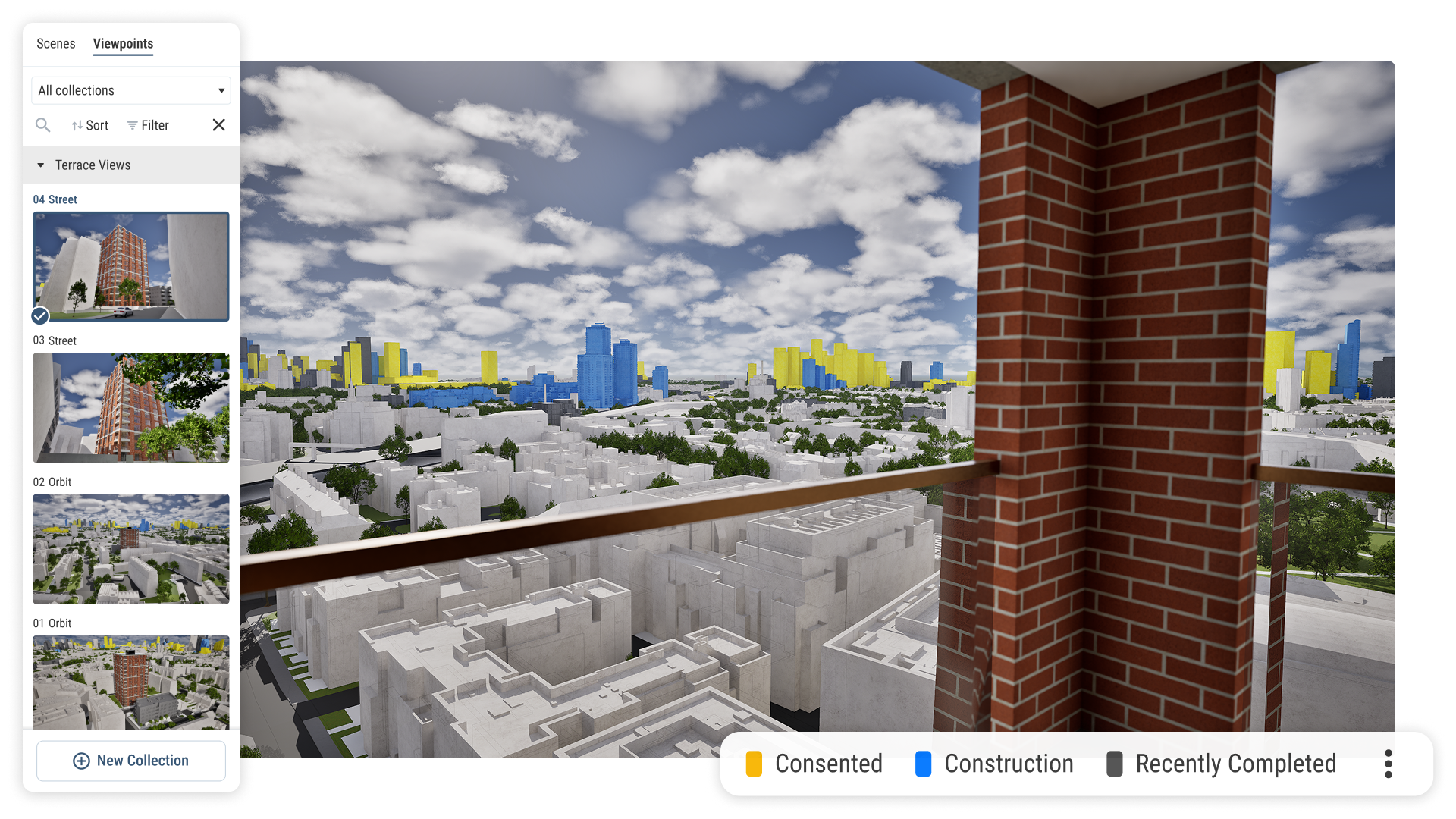
Create guided tours and presentations, export high quality imagery and share files with stakeholders for seamless collaboration and feedback.
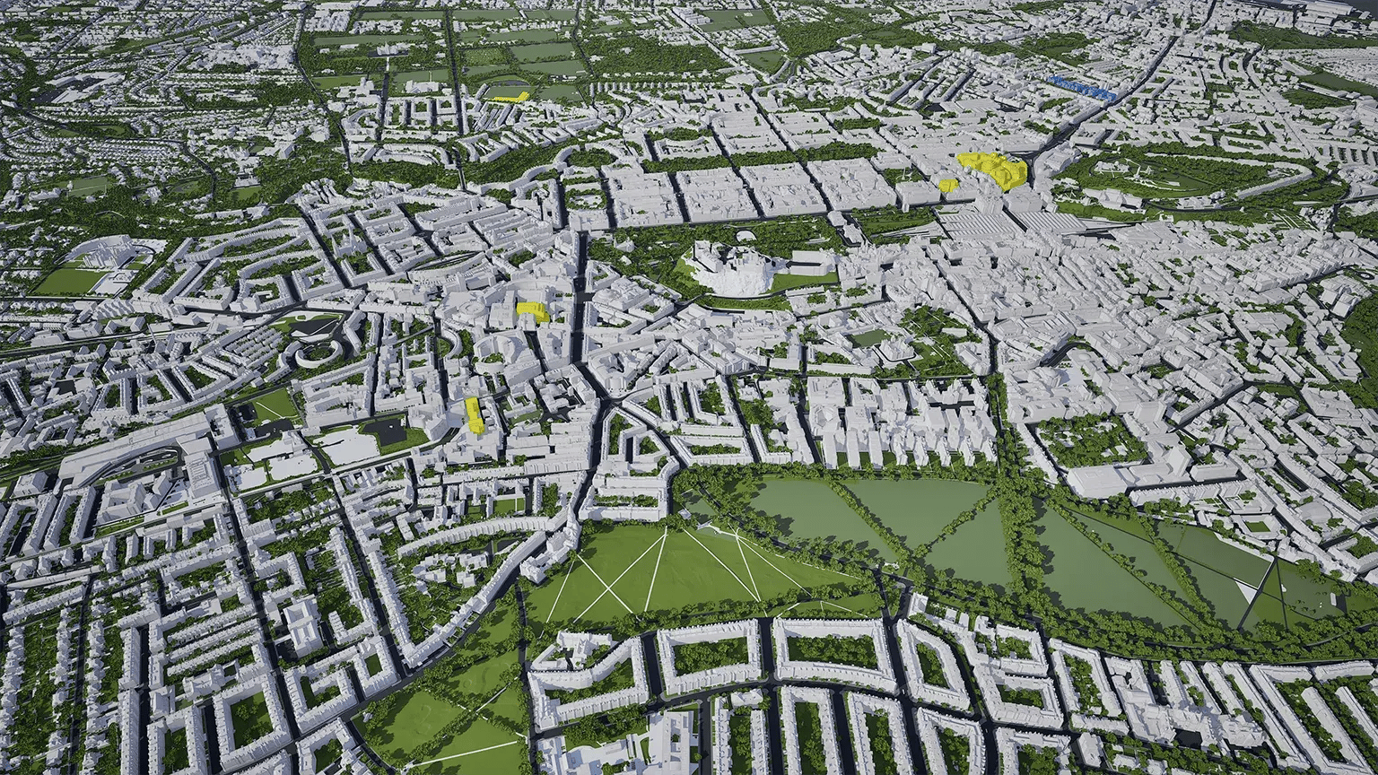
Survey accurate Edinburgh coverage
Whether you’re focusing on a single neighbourhood or the entire cityscape, VU.CITY provides full coverage with unmatched precision.
Edinburgh data layers for contextual viability
From transportation and zoning to environmental factors, VU.CITY Edinburgh 3D model data layers provide essential insights for more informed and confident decision-making.
Administrative Boundaries
-
Local authority districts
-
Wards
Amenities & Services
-
Local Important Buildings
-
Retail Boundaries
-
Supermarkets
Environmental
-
Air Quality Management Areas
-
Local Biodiversity Sites
-
Low Emission Zone
-
Nature reserves
-
Scotland Site of Special Scientific Interest
-
Special Landscape Areas
Green Spaces & Open Areas
-
Open green spaces
Heritage & Conservation
-
Conservation Areas
-
Listed Buildings
-
Tree Preservation Orders
-
World Heritage Site
Planning & Development
-
Business and industry area
-
Developments
-
Green Belt
-
Landfill sites
-
Vacant and Derelict Land Survey
Transport & Accessibility
-
Controlled Parking Zones
-
Cycle parking
-
National Cycle Network
-
Parking bays
-
Tramlines
Hover over each card to see more
VU.CITY Edinburgh is the largest and most accurate interactive 3D model available of the Scottish capital.
With its beautiful green and historic environment, and thriving economy, Edinburgh is one of the best cities in the world in which to live, work and study. It is a city committed to change.
Edinburgh has created a Local Development Plan (LDP) – City Plan 2030 – that will set out the strategy for proposals and policies to shape the development of the city over the next 10 years at least. It addresses issues such as affordable housing in the capital and makes a commitment to building 20,000 low-cost homes over the next 10 years.
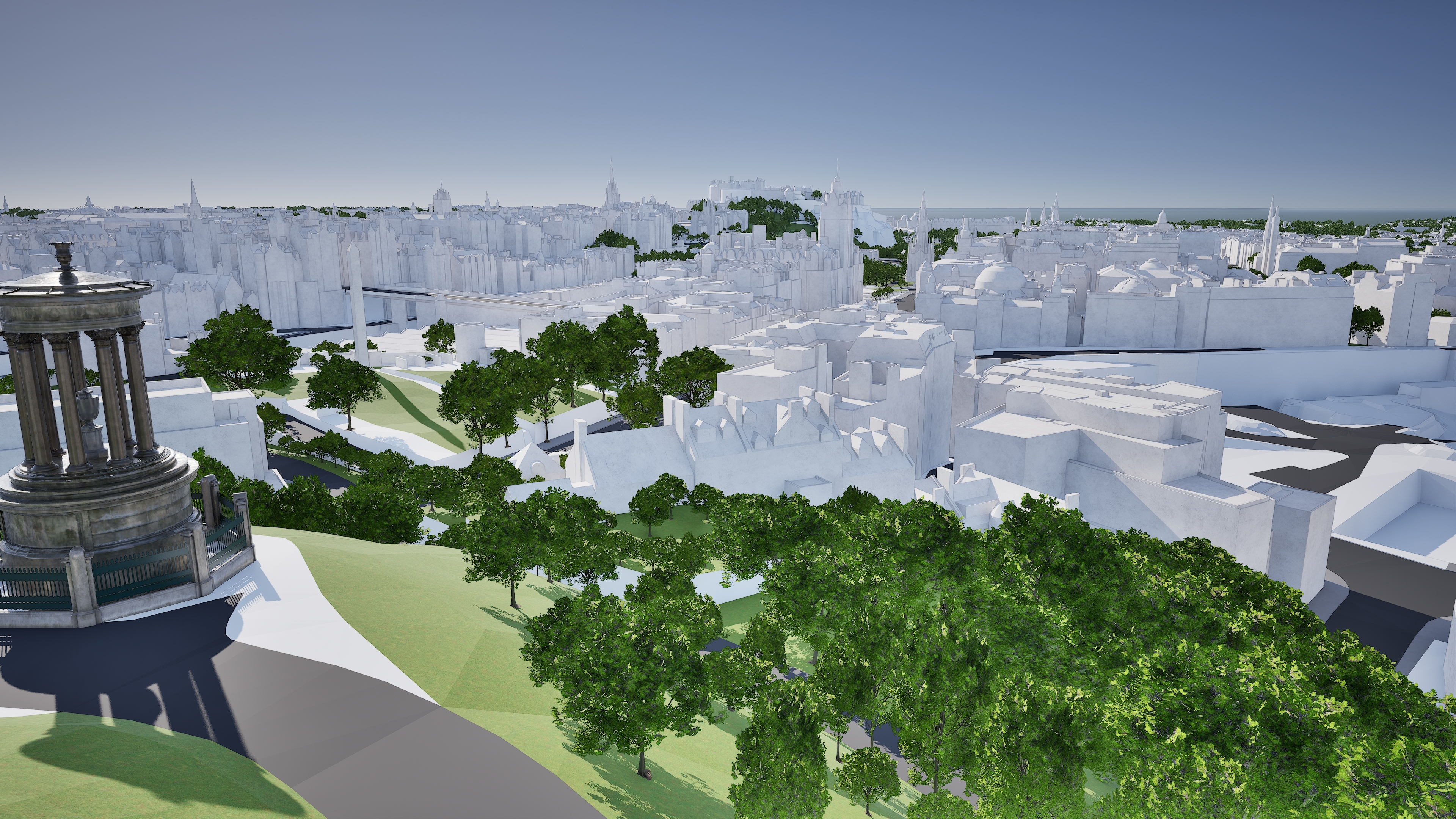
Digitisation of planning and design will be crucial to this becoming a reality, especially with the need to consider the city’s many key views, such as Calton Hill, and the implications of visual impact. Being able to assess project feasibility at an early stage, and work out factors such as density and capacity, saves time, costs and headaches for all stakeholders involved.
The proposed plan will support the Scottish Government’s 20-minute walkable neighbourhood plans and maximise the use of brownfield rather than greenfield land such as with new neighbourhoods at the Forth Waterfront. Using a 3D platform like VU.CITY is invaluable in understanding how to improve the public realm and maximise placemaking.
Users of VU.CITY Edinburgh include CDA Group, Oberlanders, Michael Laird, Morgan McDonnell, 7N Architects and 3DReid - all of whom are using the model’s many benefits. From being able to understand and assess a site’s opportunities and challenges, testing refined designs in context, enhancing pre-app conversations and planning submissions, to improving how everyone involved collaborates.
Edinburgh’s next chapter
Major regeneration is reshaping the capital. On the coast, the £1.3 billion Granton Waterfront scheme is creating a sustainable new coastal neighbourhood on the city’s largest brownfield site. In the south east, Edinburgh BioQuarter is growing into Scotland’s first health innovation district.
With VU.CITY Edinburgh, you can see approved and under-construction schemes in context and test how your own plans will sit alongside them.
VU.CITY Edinburgh FAQs
Here are some frequently asked questions about VU.CITY's Edinburgh 3D Digital Twin and Model.
What is VU.CITY Edinburgh, and how does it benefit urban planners and developers?
VU.CITY Edinburgh provides a comprehensive 3D digital model of Edinburgh, supporting urban planners, architects, and developers in visualising new projects within the city’s landscape, thus enhancing planning accuracy, collaboration, and decision-making.
How does VU.CITY Edinburgh aid in securing planning permission?
VU.CITY Edinburgh shows exactly how a scheme sits within the city’s skyline, World Heritage Site and key views, such as those from Calton Hill. That makes pre-apps more productive, gives planning officers clearer evidence and helps everyone understand a proposal quickly.
What are the key data layers available in the VU.CITY Edinburgh model?
The Edinburgh 3D model includes 33 data layers covering administrative boundaries, amenities, environment, green spaces, heritage and conservation, planning and transport. You can also bring in your own data and view it alongside ours.
How does 3D city modeling with VU.CITY improve public consultation in Edinburgh?
VU.CITY Edinburgh creates interactive tours and high-quality imagery that make proposals easy for anyone to understand, helping residents and communities see a scheme’s impact and benefits during consultation.
What role does VU.CITY Edinburgh play in sustainable city planning?
VU.CITY Edinburgh lets you test density, massing, daylight and sunlight on brownfield sites, and see how new neighbourhoods fit with existing streets, green spaces and heritage. That helps you design schemes that support City Plan 2030 and Edinburgh’s net zero goals.
Explore digital 3D geospatial solutions for the built environment
VU.CITY provides clear, powerful tools for key decision-makers across the built environment, helping them visualise and shape the future of cities with confidence and precision.

Licence any VU.CITY city and design, test and present your project in its real context.

Coverage across 26 UK & International cities