

Visualise the physical world on a data-driven canvas.
Explore, customise and edit our 2D maps and 3D city models to gain insight, test ideas and manage your projects and assets.
Visualise
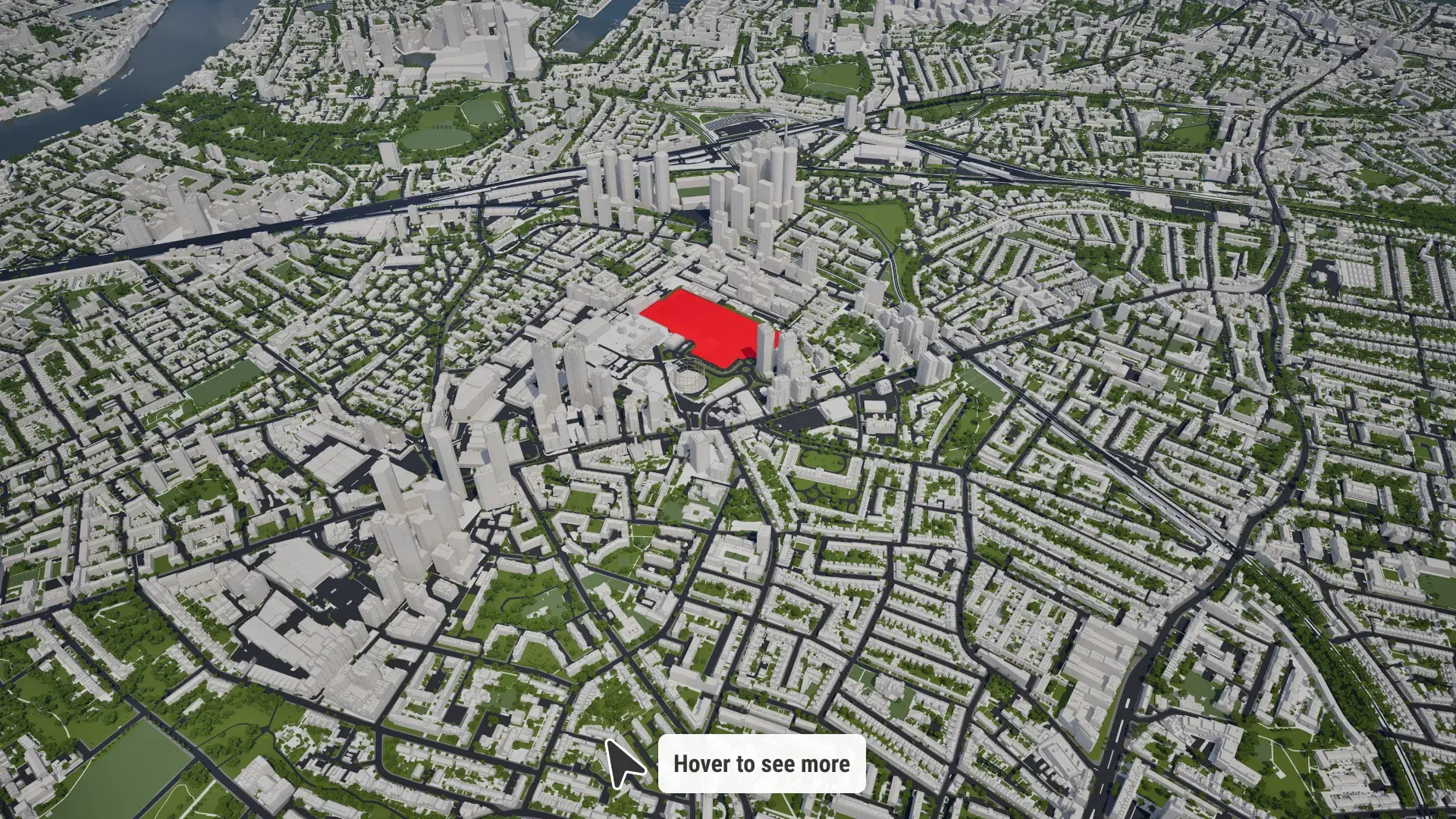
View, edit and customise our maps and models. Import your own areas and objects. See the big picture.

Understand
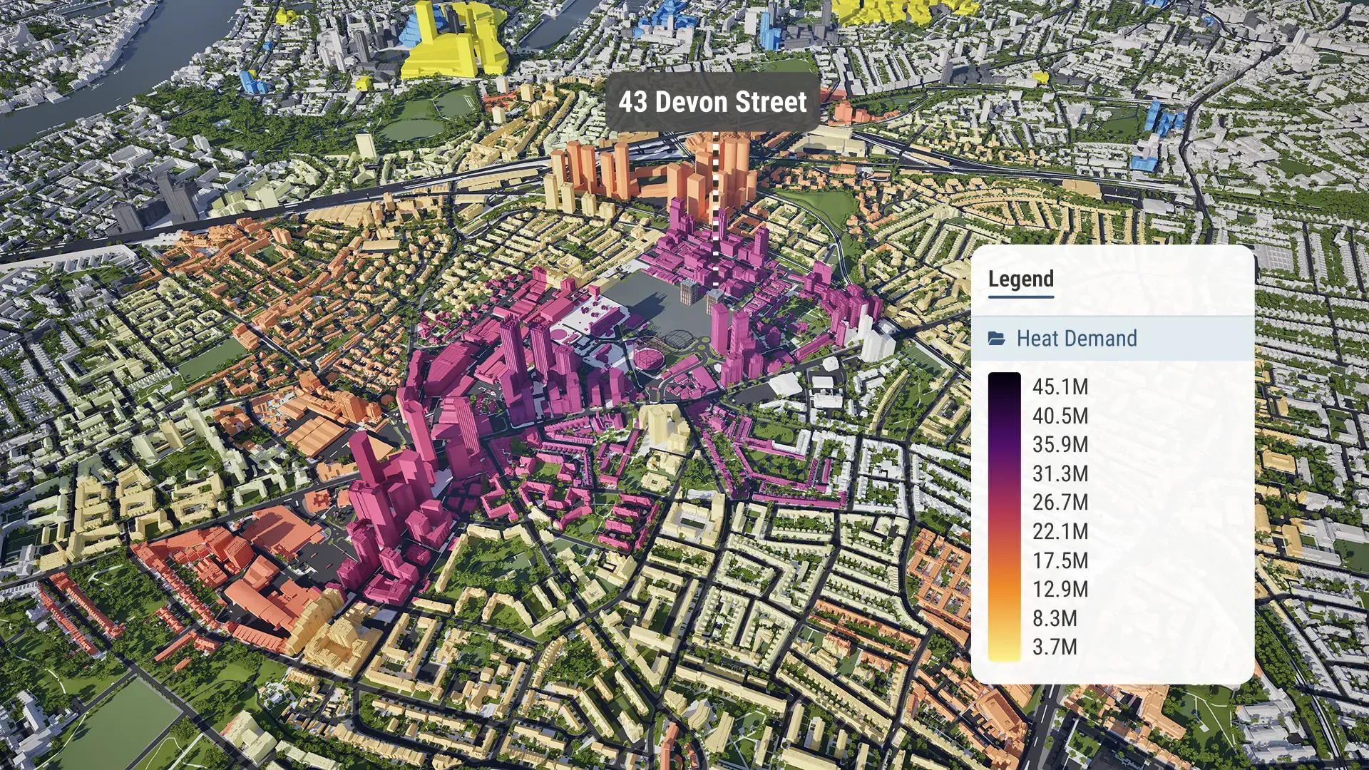
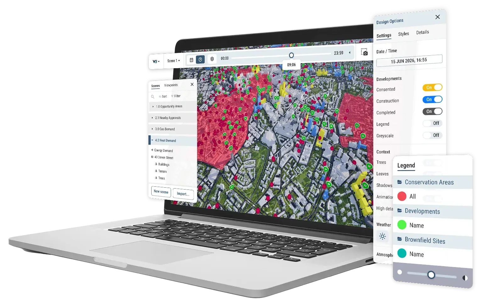
Gain visual context. Combine your own data with our library of overlays to uncover insights.

Communicate
Generate high-quality imagery, or take your audience on an interactive, immersive tour.
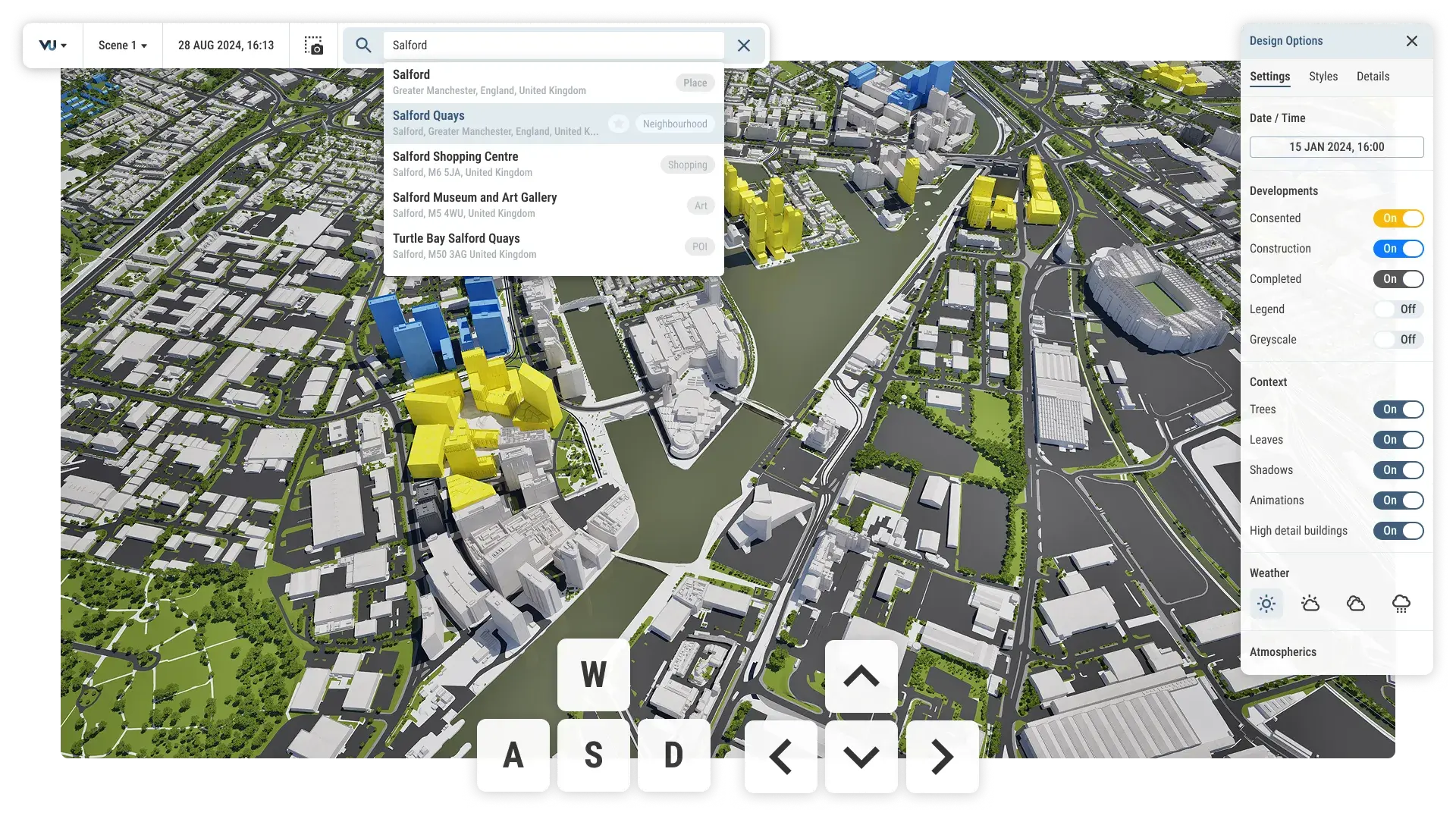
Simple navigation tools
Streamlined exploration, designed to be used by anyone.
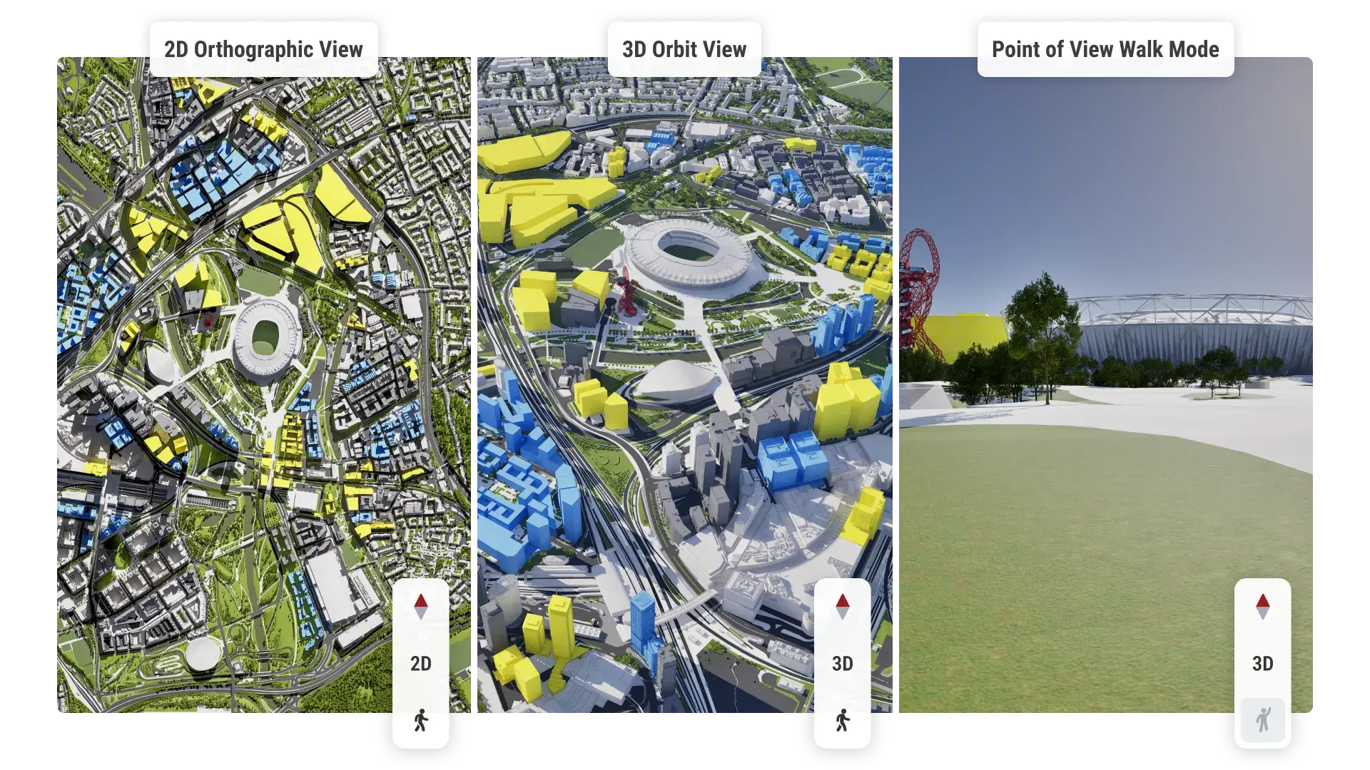
2D, 3D and POV views
Switch your view in a single click to see what you need, from any angle.
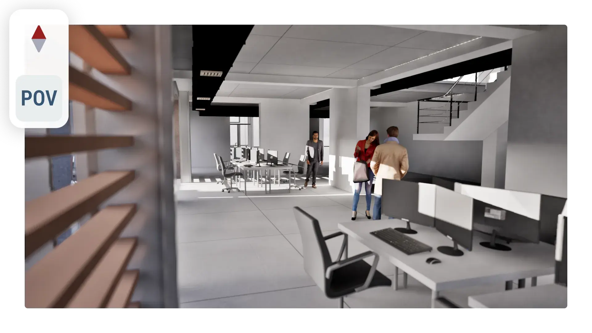
Explore interiors
View entire cities down to individual units and rooms.
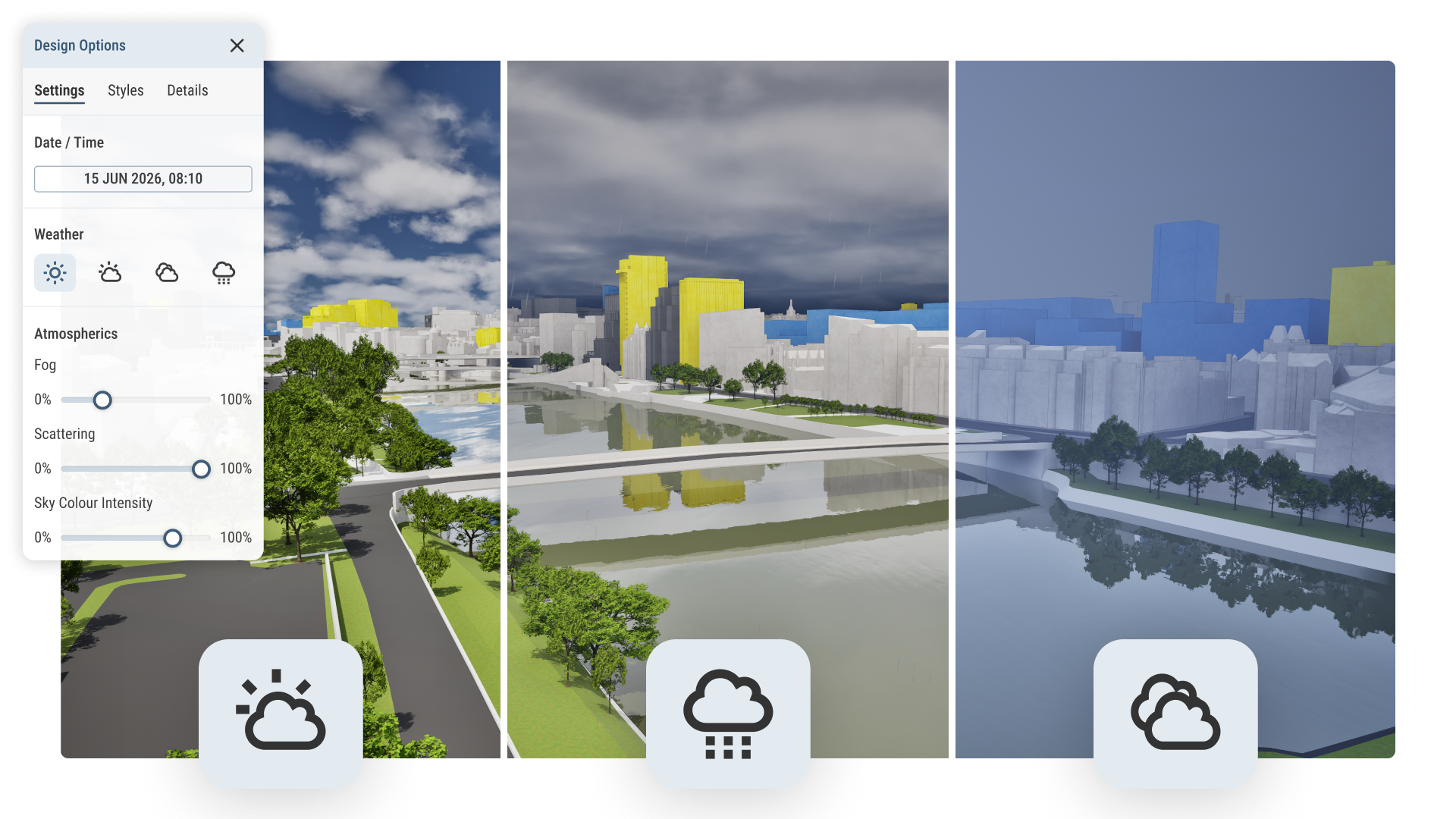
Weather and atmospherics
Customise weather, fog, daylight and more. See context across different scenarios.
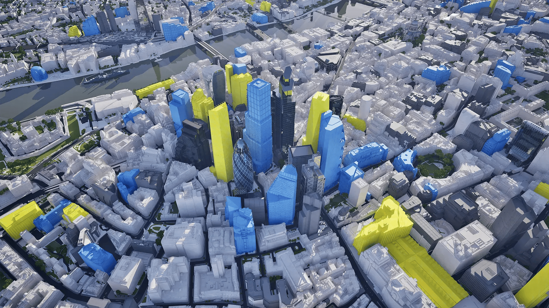
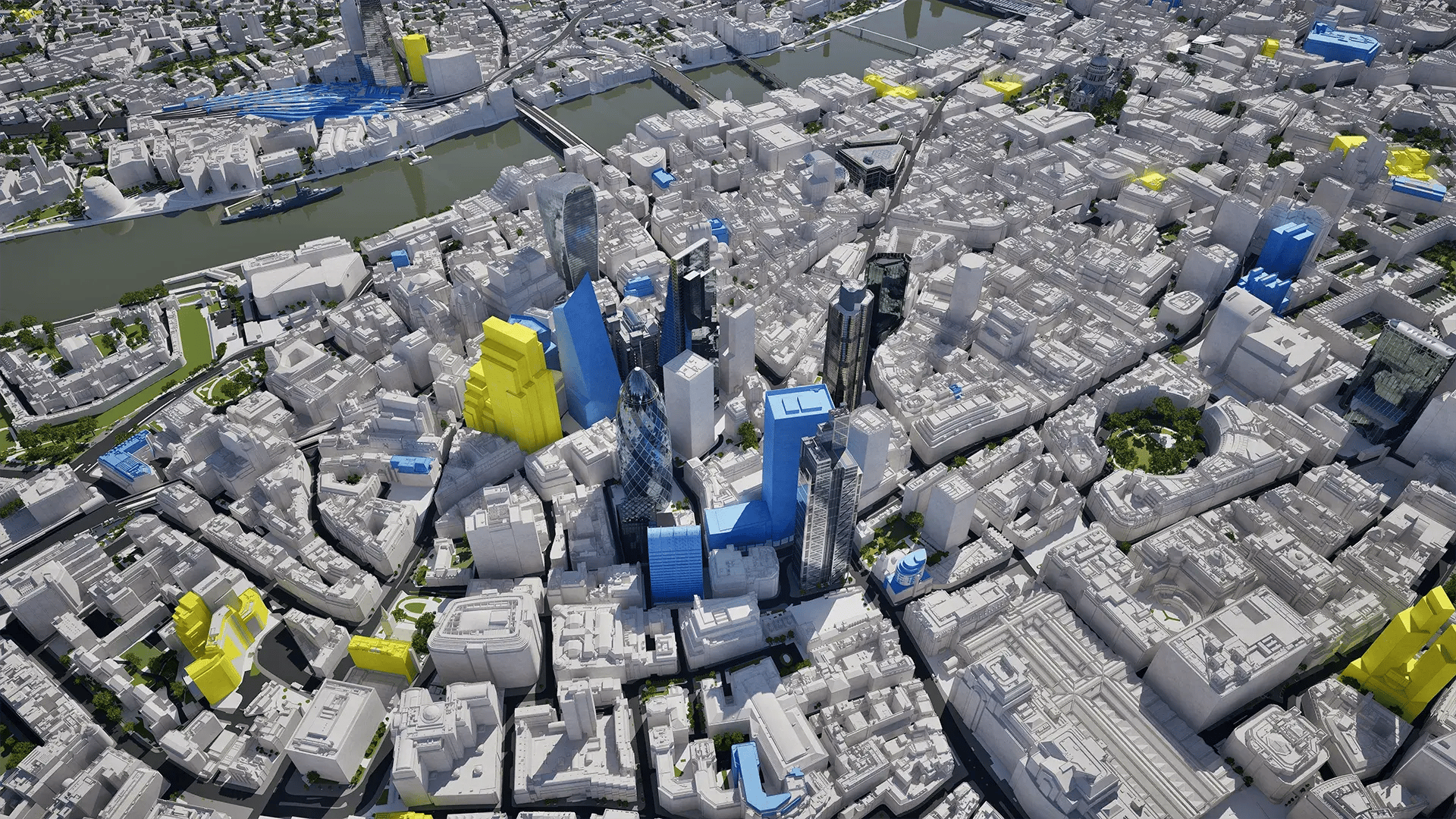
4D city maps: For the past, present and future
Scrub through time to see how areas are changing.
Our maps show buildings appearing and changing once they are approved for construction.
See the future - once buildings are approved, our map shows you the end result.
Customisable maps and models
Edit and change maps
Our maps are fully editable canvasses, giving you creative freedom.
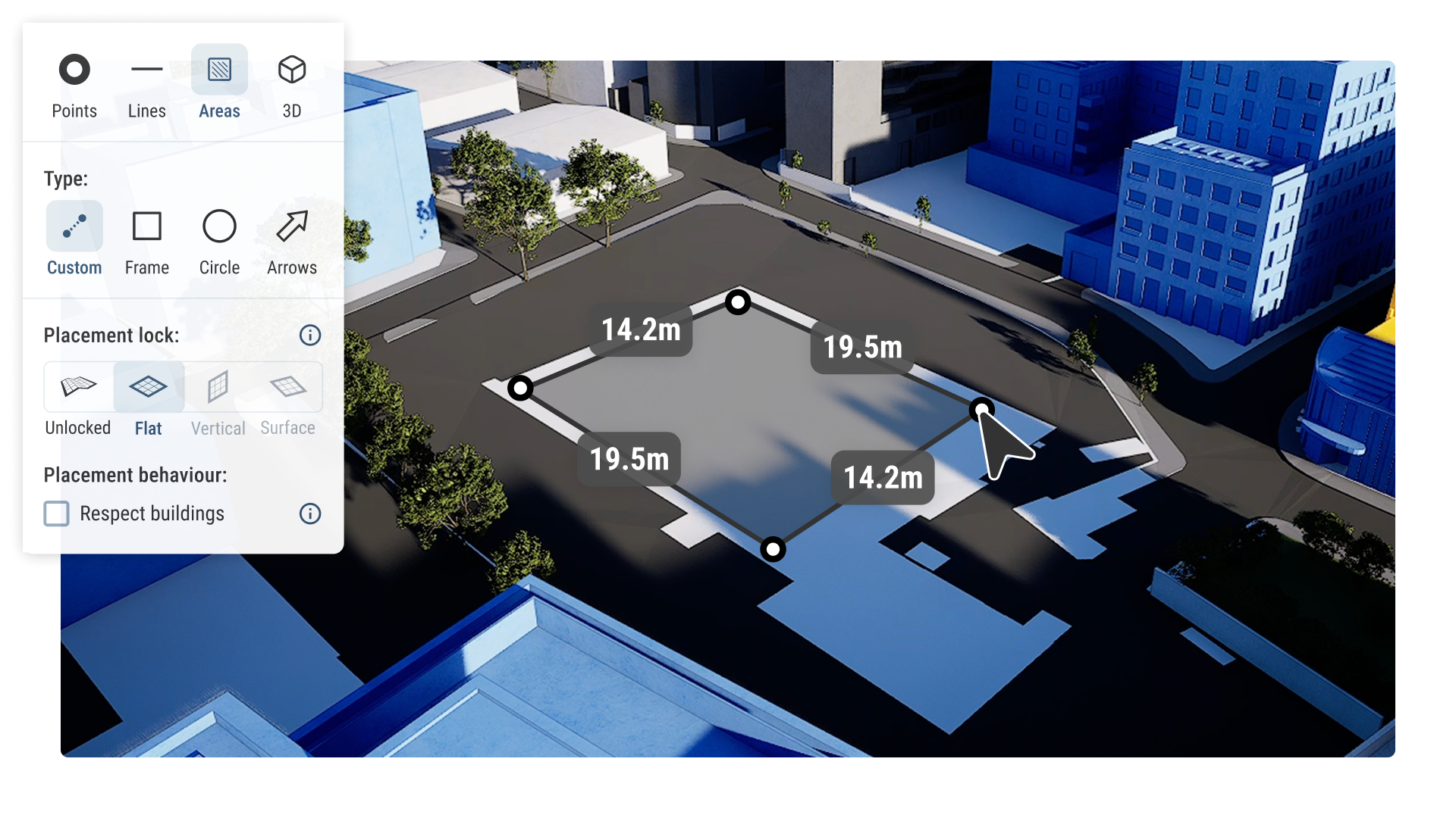
Easily draw and annotate in 2D and 3D
Our tools enable anyone to draw points, lines, areas and objects.
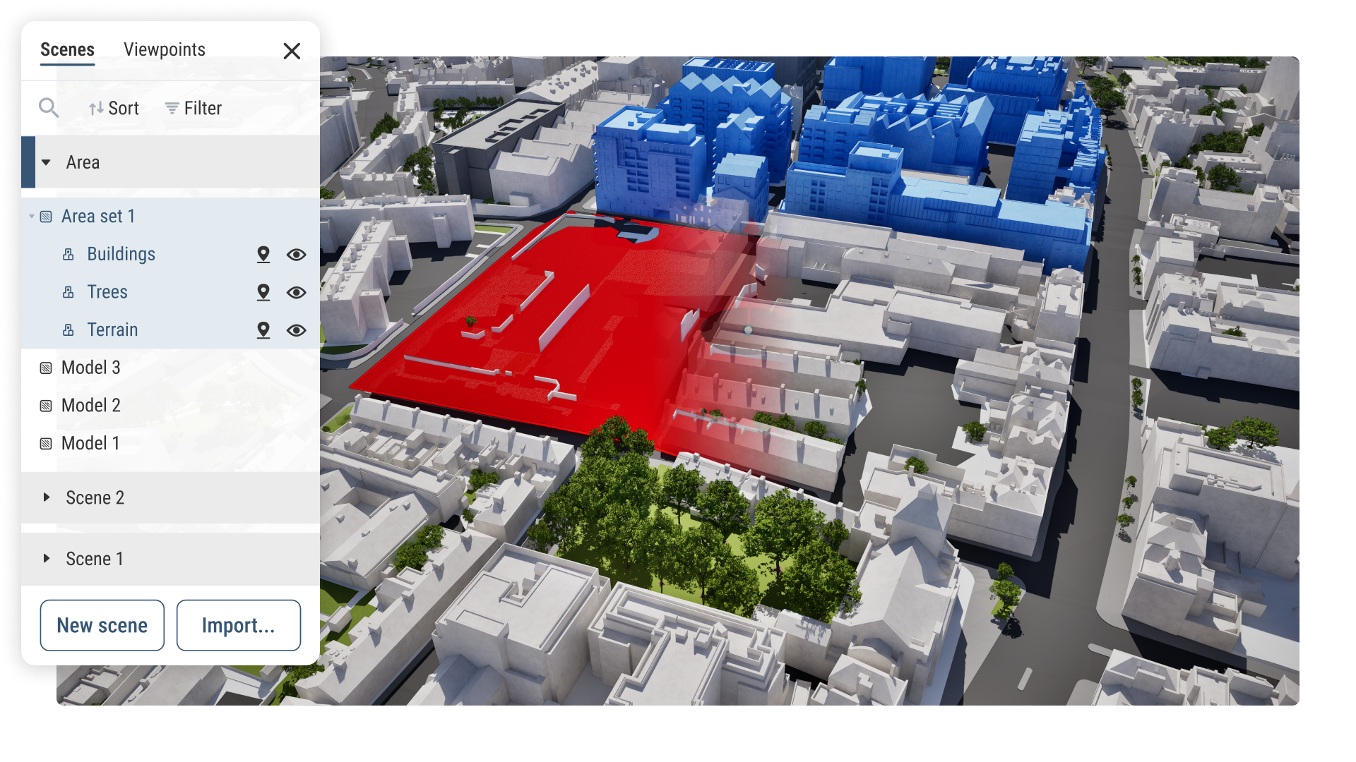
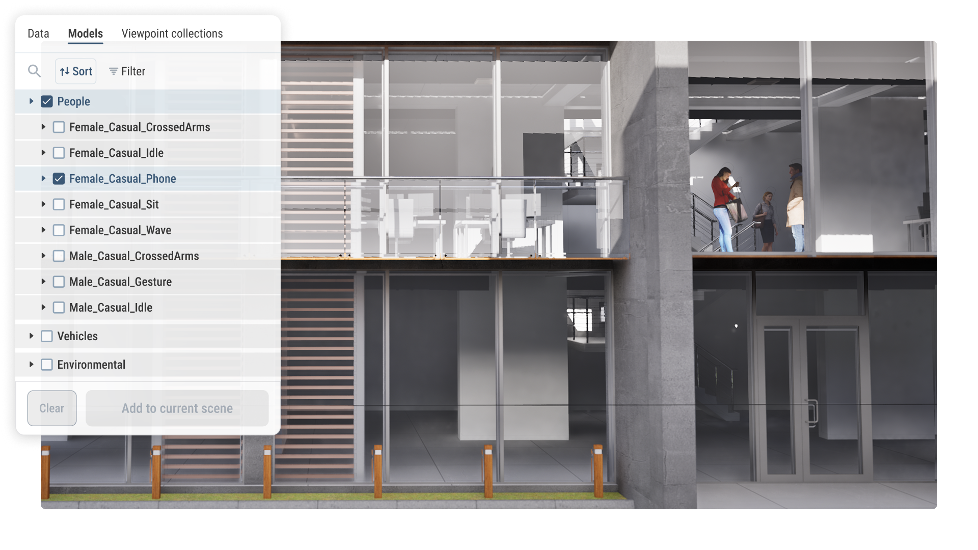
Import models and objects
Visualise any model in context - including architectural, BIM and custom objects.
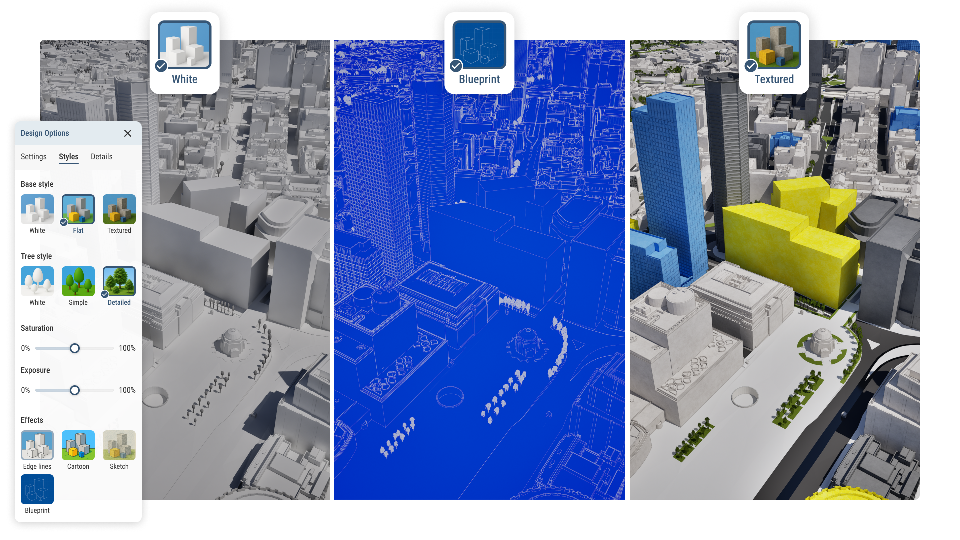
Custom canvas styling
Preset map styles alongside exposure, saturation and more customisation options.
Available across 26 UK & International cities
We’re continually expanding our coverage.