
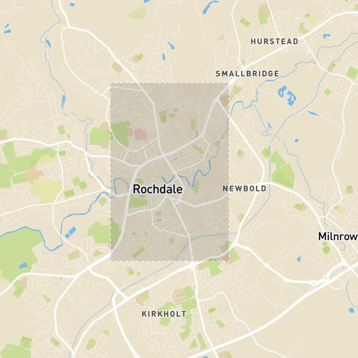
Rochdale 3D Model
Our City of Rochdale 3D Model functionality and rich data layers help reduce design and planning uncertainty, highlight potential impact and speed up crucial decisions.
With VU.CITY’s accurate and immersive 3D digital twin sophistication of Rochdale, all stakeholders can collaborate seamlessly, making smarter decisions and giving their project the best chance at success.

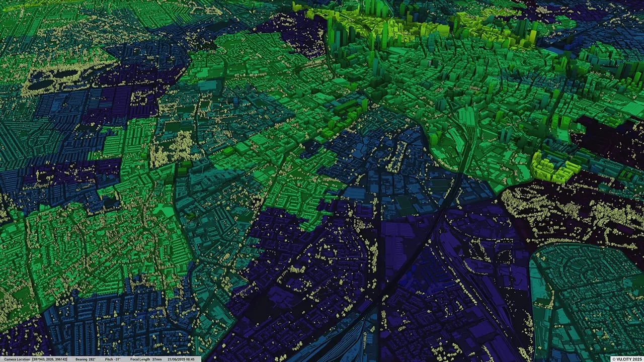
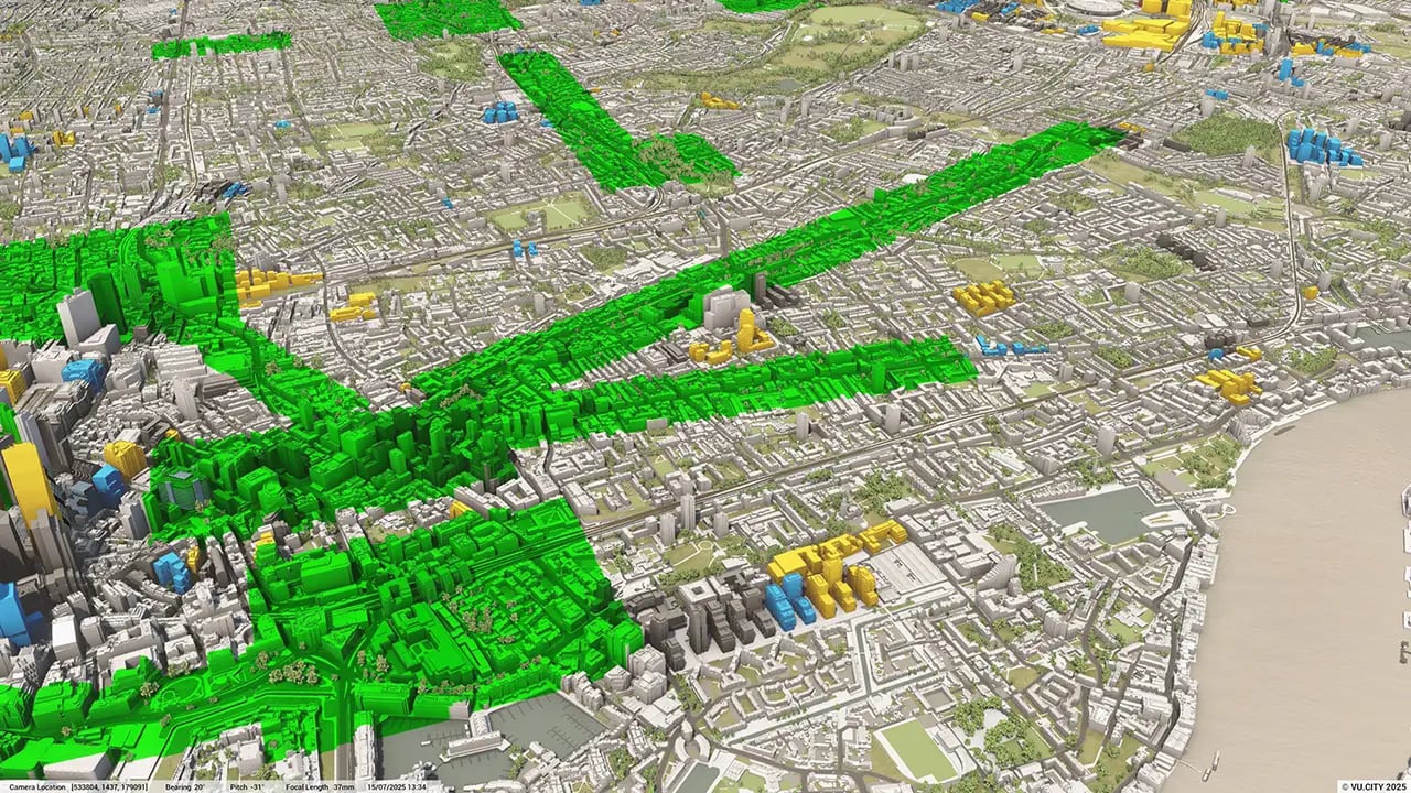
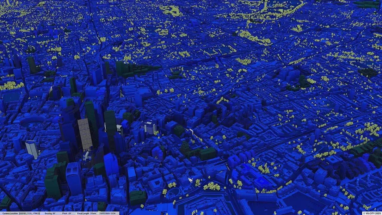
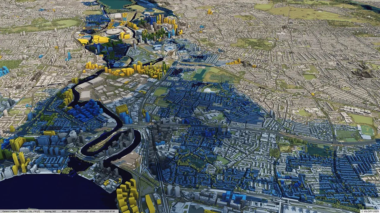
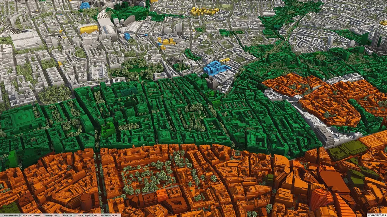
Rochdale data layers
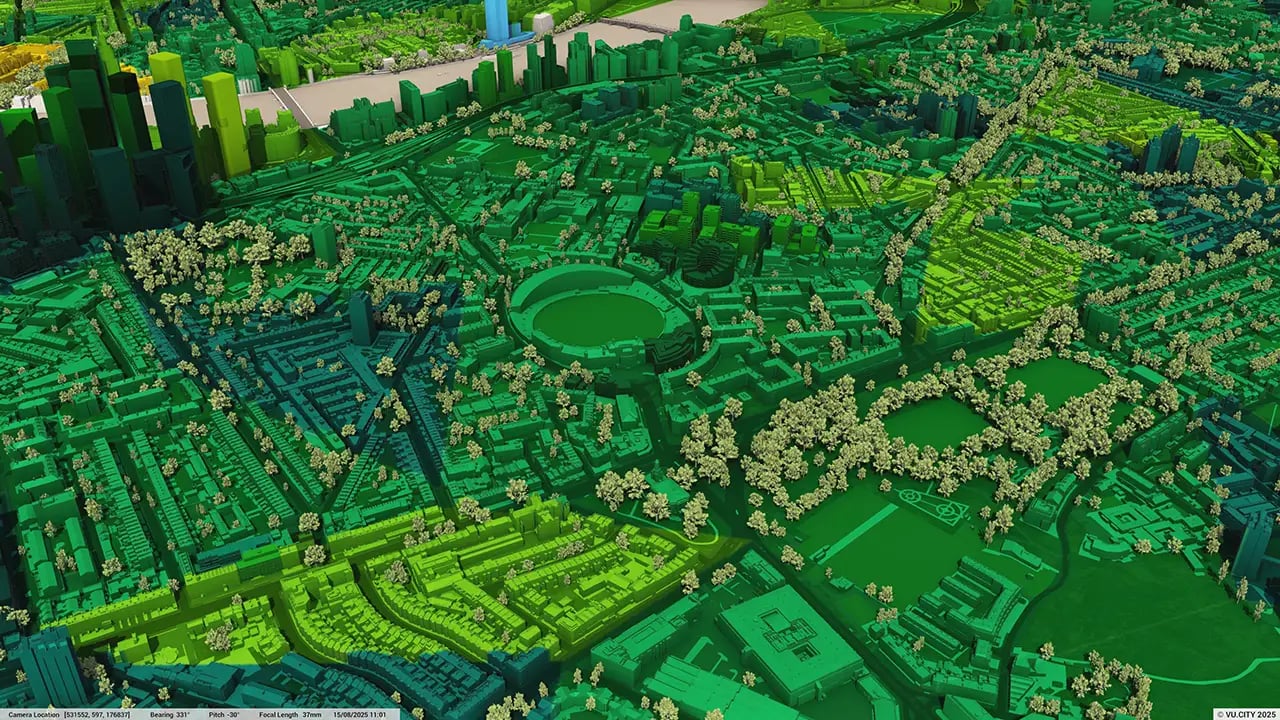
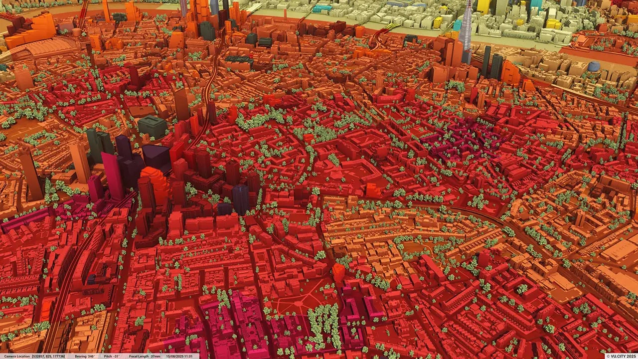
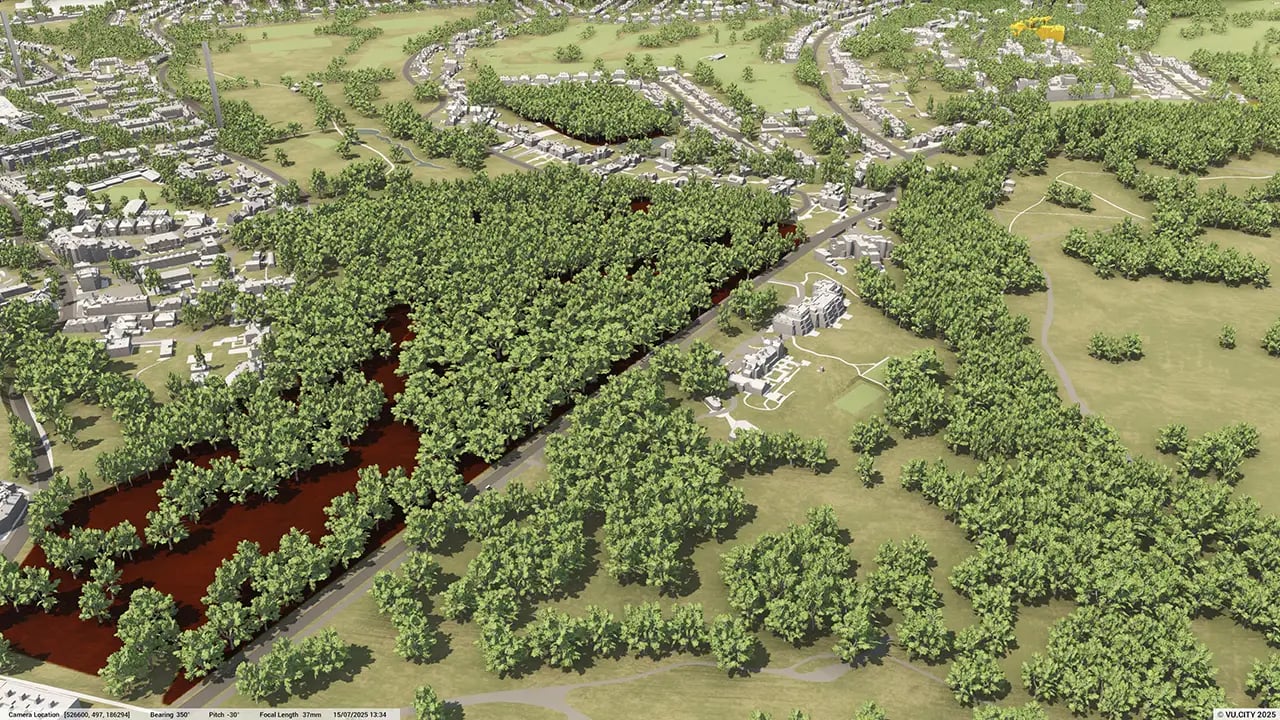
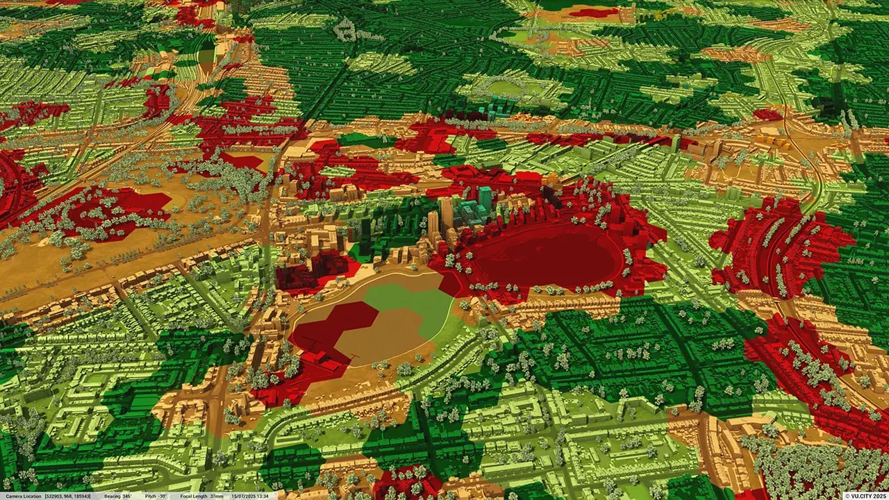
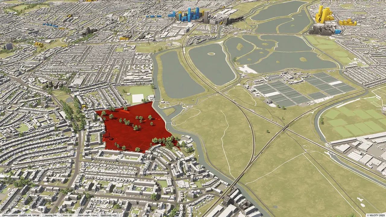
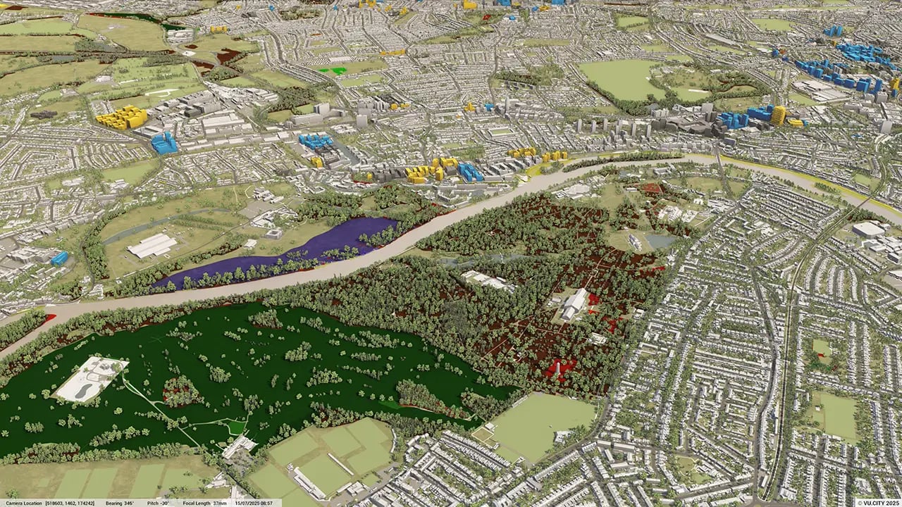
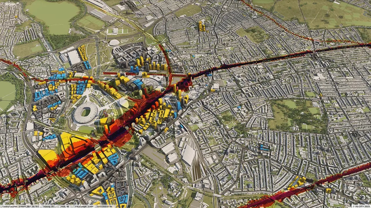
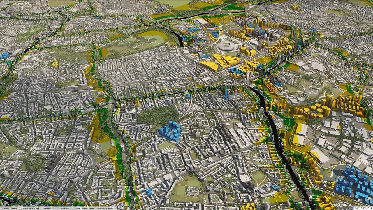
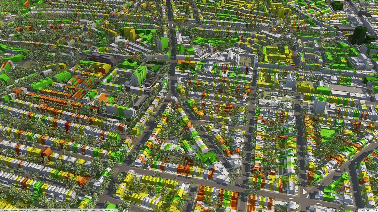
From transportation and zoning to environmental factors, VU.CITY Rochdale 3D model data layers provide essential insights for more informed and confident decision-making.
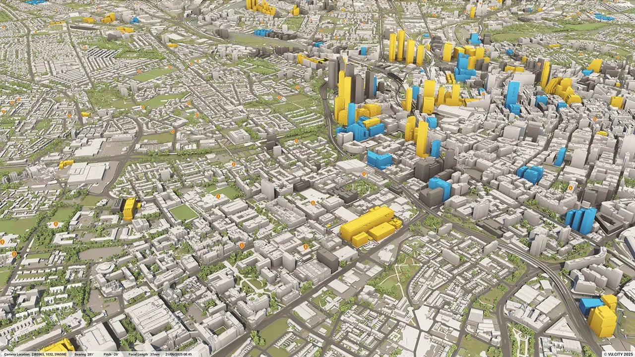


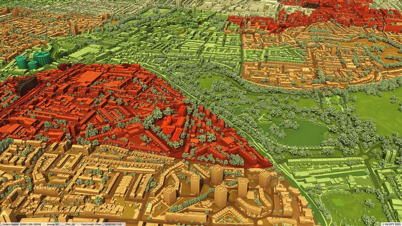
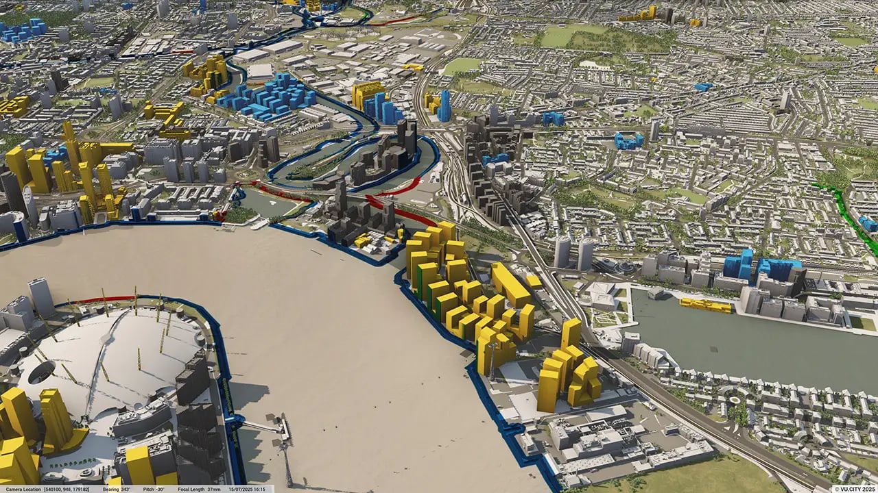
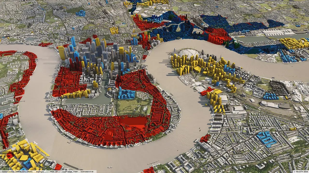
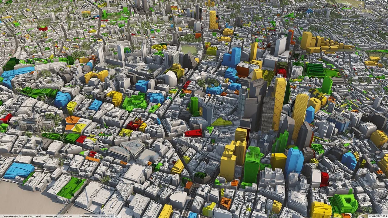

VU.CITY has established relationships with many local authorities in the ever growing Greater Manchester region, including Rochdale Borough Council. Rochdale Borough Council has been using VU.CITY’s array of 3D visualisation tools and data to ensure swift decision making in a planning process with increased transparency.
Rochdale has ambitious plans to develop 8,000 new homes and 4 million sq ft of new employment floorspace over the next five years. These proposals form part of Rochdale Borough Council’s growth plans which will reshape Rochdale as a place to live, work, connect and visit, and 3D visualisation will be a key component to helping them deliver positive change.
There are so many advantages to using VU.CITY’s 3D digital twin technology, from being able to instantly understand and assess a site’s challenges and potential, to simplifying the planning application, to improving how everyone involved can collaborate in a single platform.
Trusted by 6,000+ users across 26 cities
Architects, developers, local authorities, urban planners, and more trust VU.CITY to help achieve their goals.
Organise and visualise your geospatial data in accurate context with our comprehensive suite of digital design and development tools.
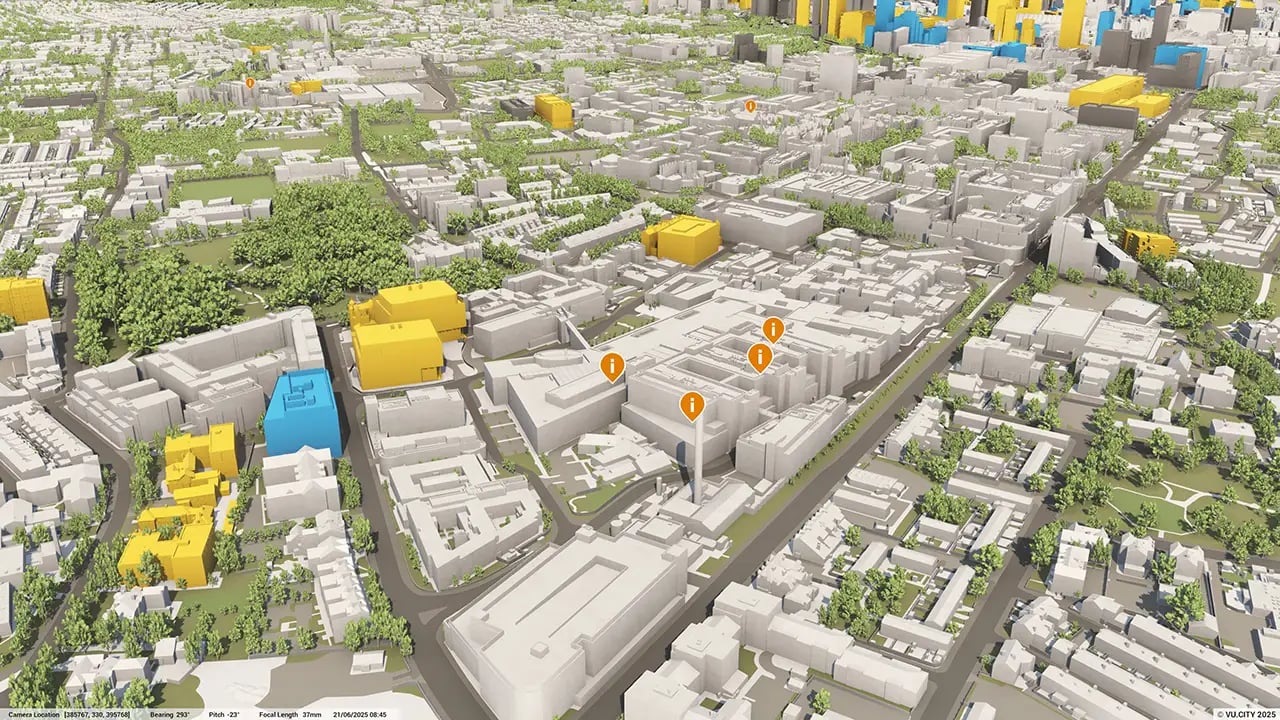
VU.CITY Rochdale: 3D Model Features and Planning Tools


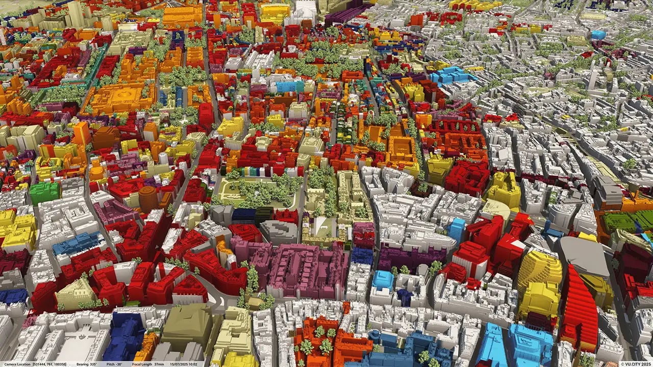
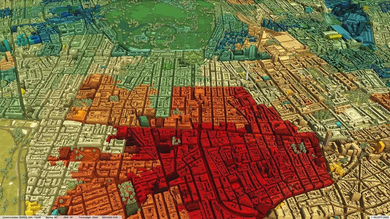
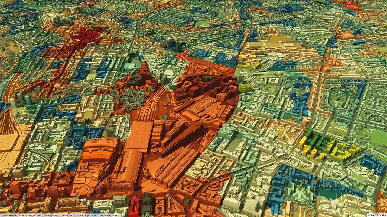
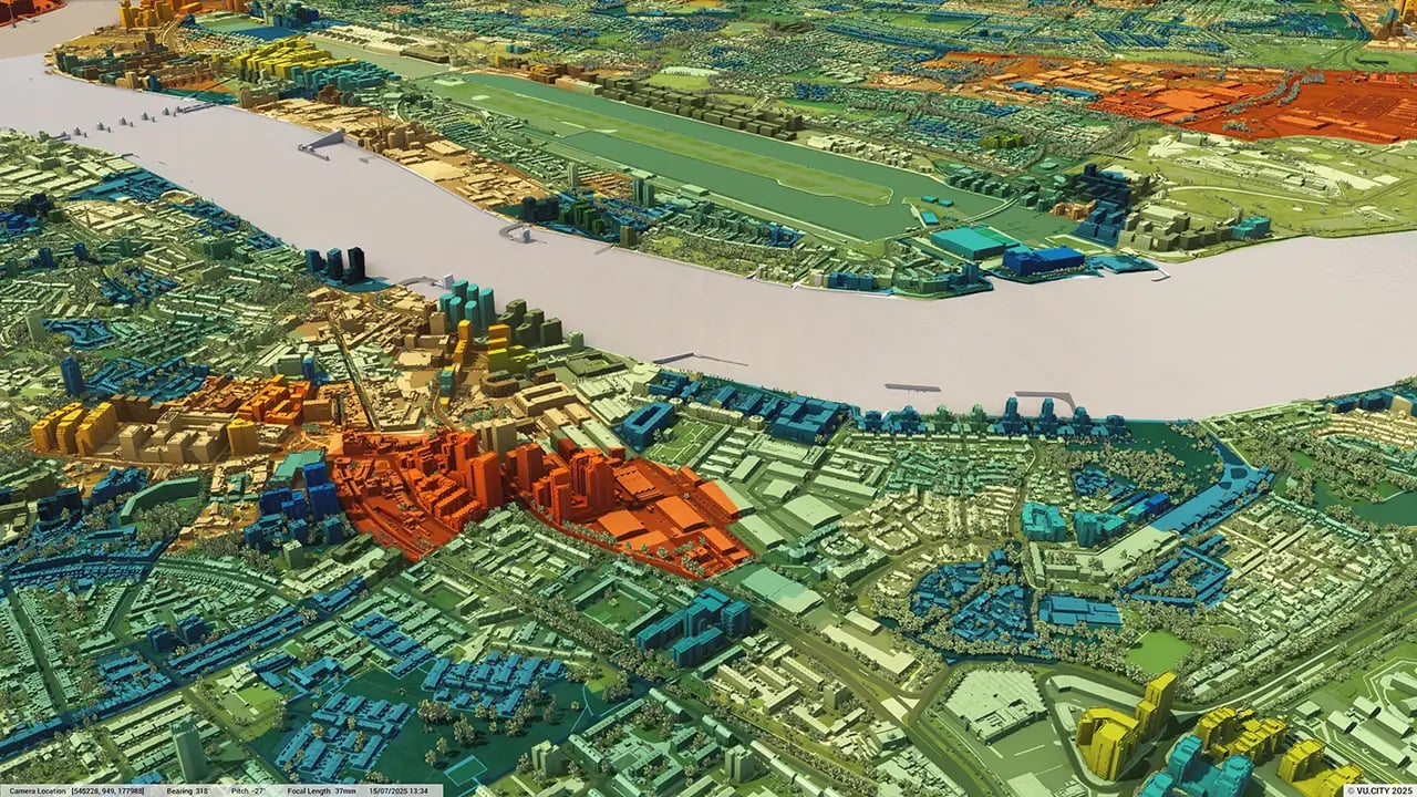
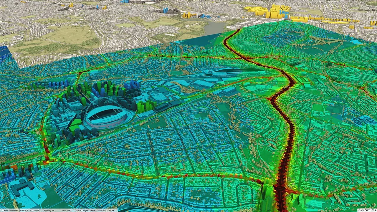
Rochdale 3D tile coverage
Whether you’re focusing on a single neighbourhood or the entire cityscape, VU.CITY provides full coverage with unmatched precision.
VU.CITY Rochdale FAQs
Here are some frequently asked questions about VU.CITY's Rochdale 3D Digital Twin and Model.
How can the VU.CITY Rochdale model support the city’s ambitious growth plans?
The model enables planners, developers, and stakeholders to visualise the impact of projects within Rochdale’s context, helping to support the city’s goals of adding new housing and employment spaces. It provides tools for evaluating massing, sunlight, and development timelines in line with Rochdale’s growth strategy.
Can the Rochdale 3D model assist with community and stakeholder engagement?
Yes, with features like the Presenter Tool and camera studies, users can create compelling visuals and presentations that help communicate project details clearly to stakeholders, making it easier to gain feedback and build community support.
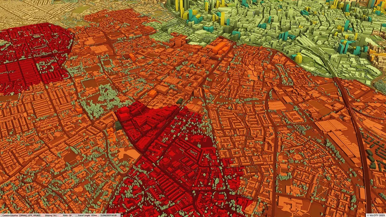
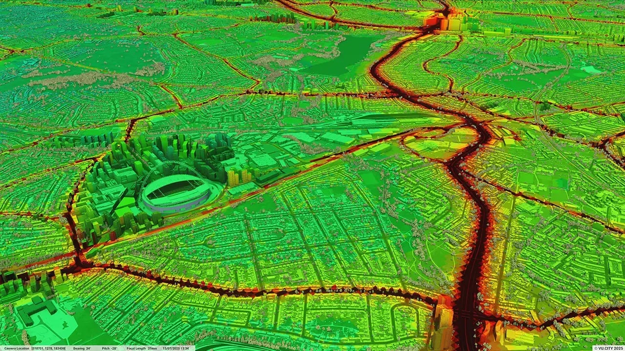
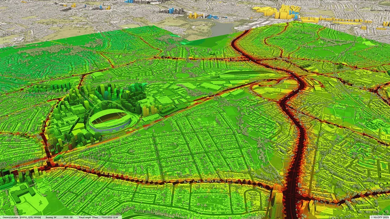
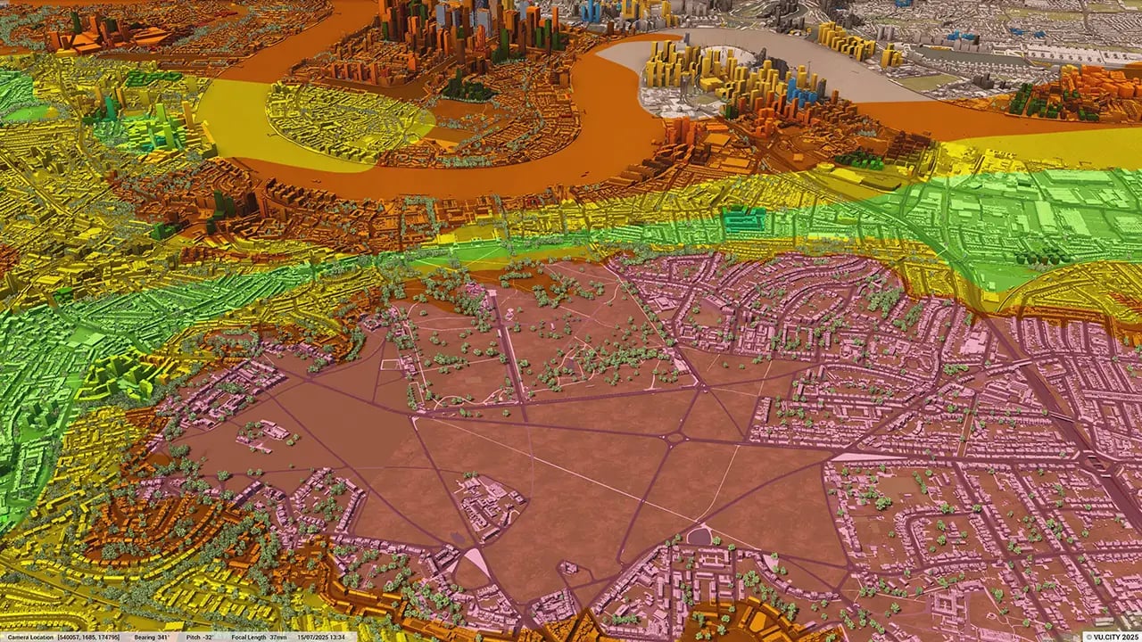
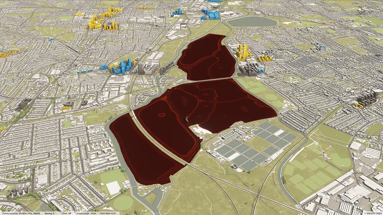
What tools does the VU.CITY Rochdale model offer for evaluating environmental impacts?
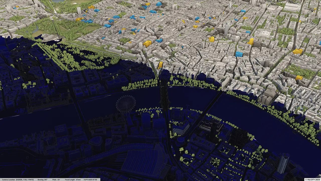
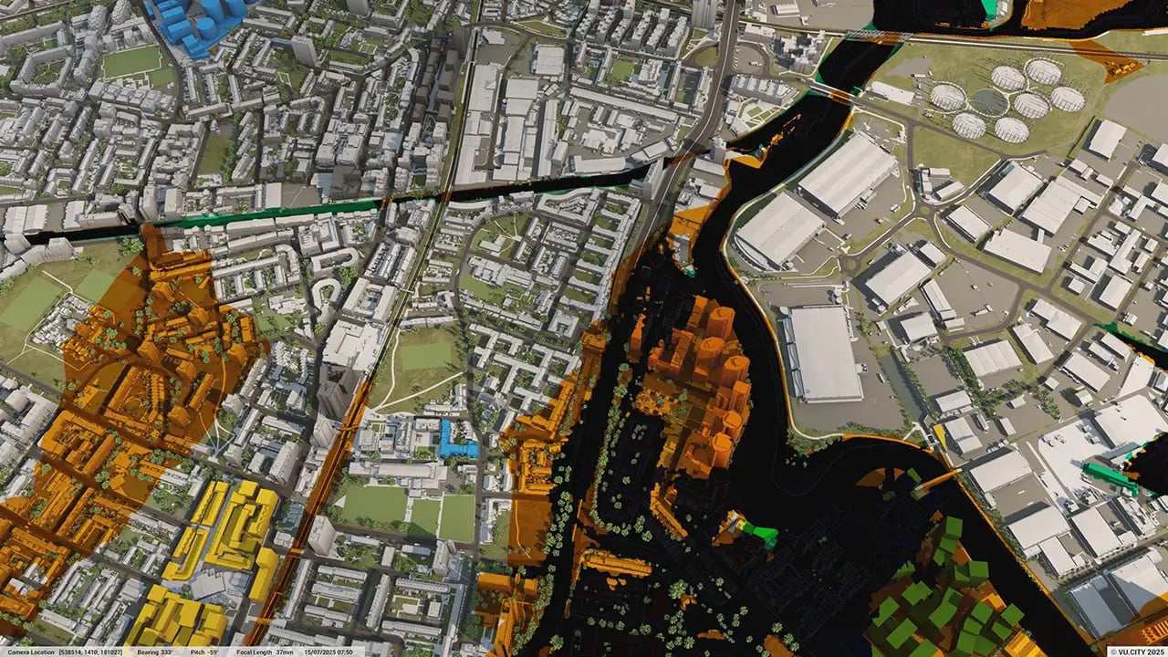
The model includes data layers for sunlight analysis, Zone of Theoretical Visibility (ZTV), and green space overlays, allowing planners to make environmentally informed decisions that align with Rochdale’s sustainability and conservation objectives.
Can I use the Rochdale model to assess different design options for a site?
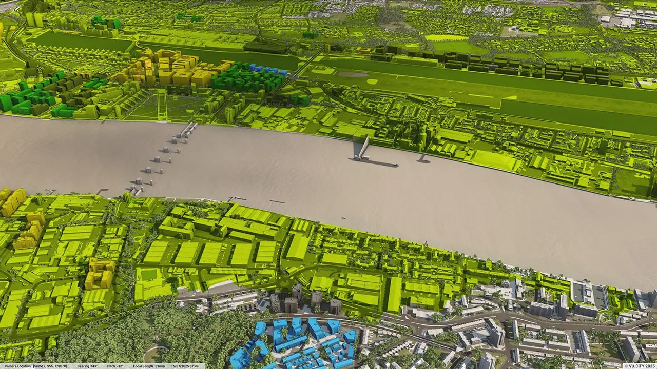
Absolutely. The model provides tools for testing various massing options and quickly assessing General Employment Area (GEA) potential, allowing users to explore and refine designs at an early stage.
Who benefits from using the VU.CITY Rochdale model?
Architects, developers, planners, and local authorities benefit from this tool. It supports collaboration, helps streamline the planning process, and ensures that new developments align with Rochdale’s vision for sustainable and community-centred growth.
Explore digital 3D geospatial solutions for the built environment
VU.CITY provides clear, powerful tools for key decision-makers across the built environment, helping them visualise and shape the future of cities with confidence and precision.
Make smarter decisions with data-driven insights, from infrastructure to sustainability.
Unlock the power of Generative AI for optimal design and streamlined decision-making.
Bring your designs to 3D life with state-of-the-art modelling tools.
Collaborate seamlessly across studies, planning, and design.
Utilise advanced 3D models and a data-driven approach with our flexible ZTV service.
Bring Your Vision to Life with a 3D Flythrough Video.
26 UK & International Cities
Over 3,000+ sq km accurate to 15cm | Tools to scope, create & collaborate on designs
Shape Tomorrow’s Cities, Today.
Begin Your Free Trial Now.
