
Watford 3D Model
VU.CITY Watford saves time and money for professionals involved in the design, planning and development of the built environment.
Our accurate and interactive 3D digital twin model of Watford is enriched with data and tools to help you collaborate and analyse the real world impact of proposals, allowing you to make better design, and planning decisions, faster.
Watford is included in the London model licence.

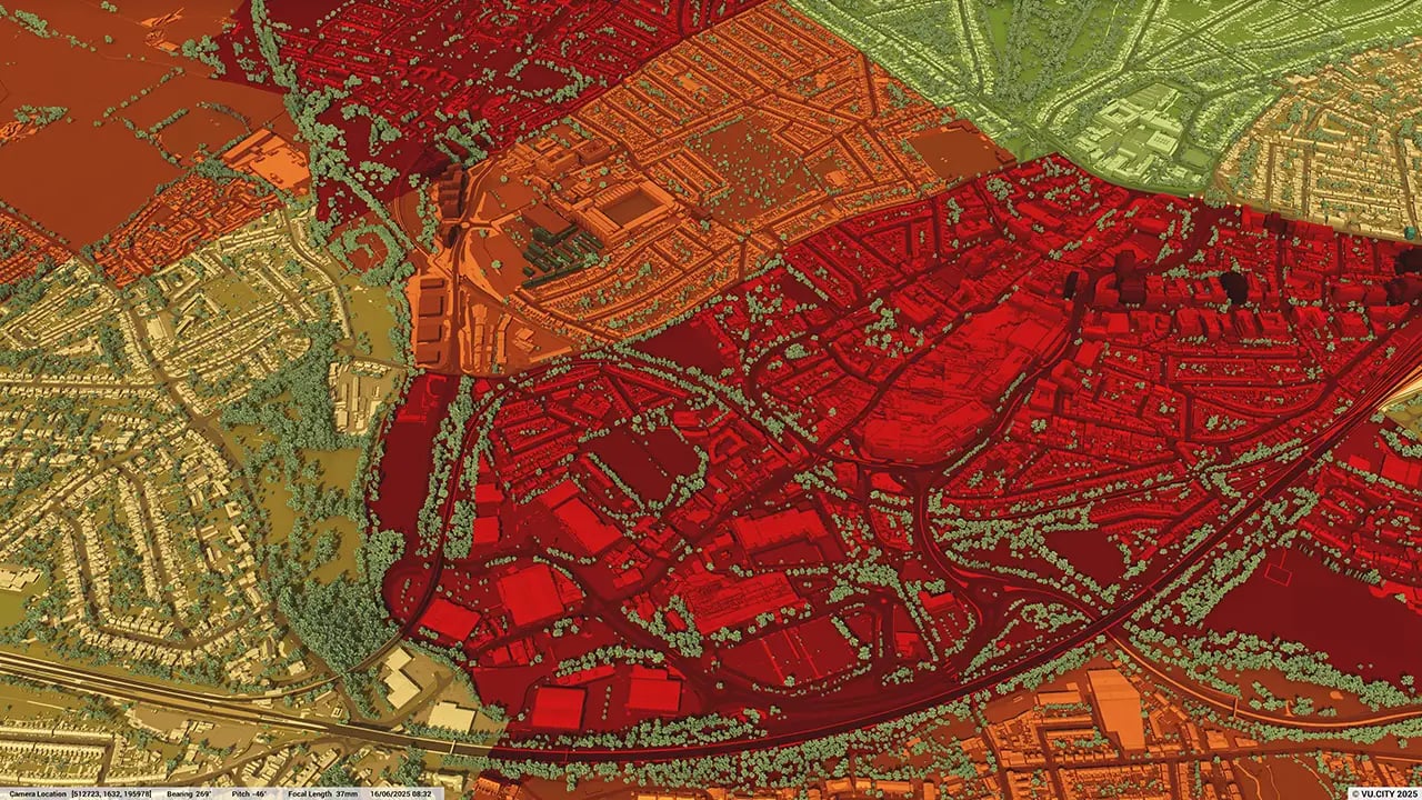
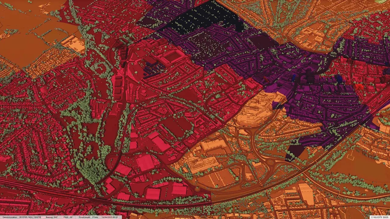
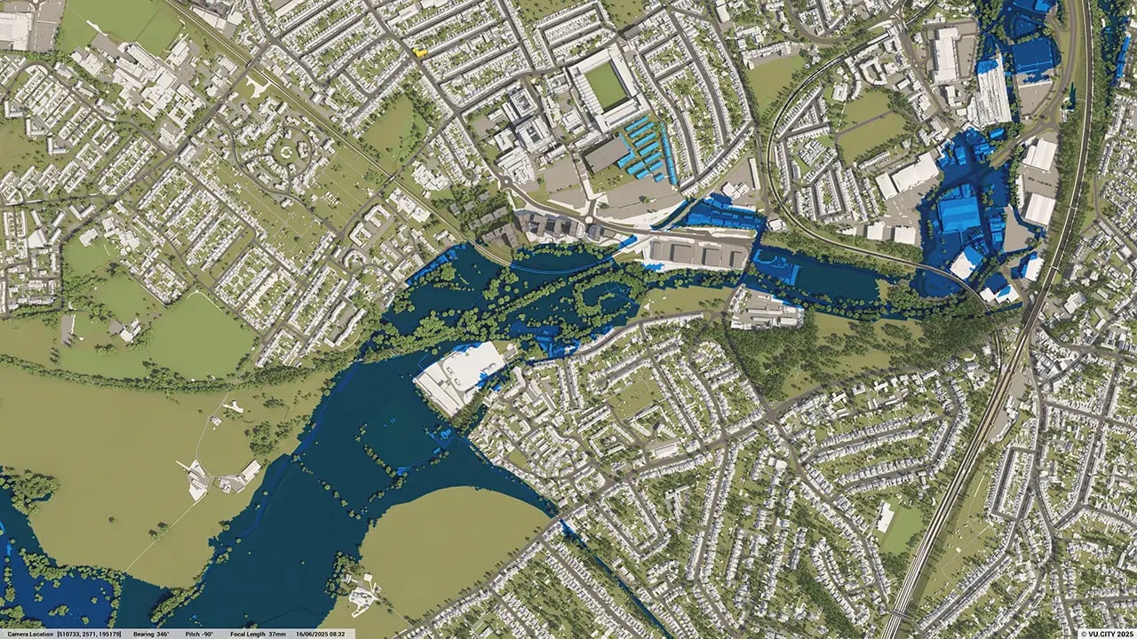
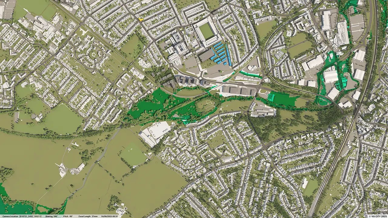
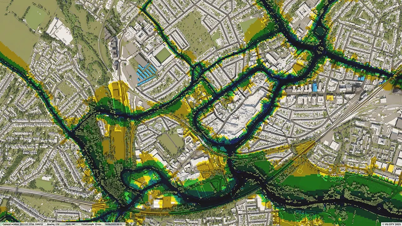
Watford data layers for contextual viability
From transportation and zoning to environmental factors, VU.CITY Watford 3D model data layers provide essential insights for more informed and confident decision-making.
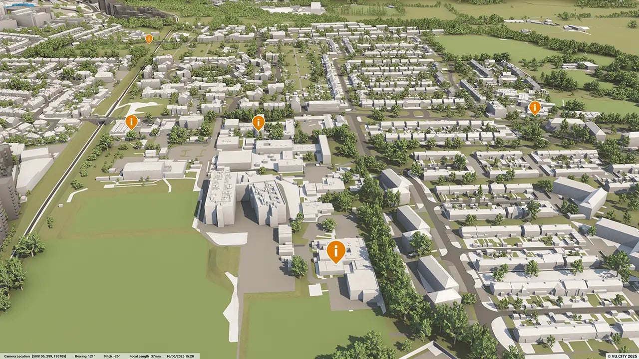
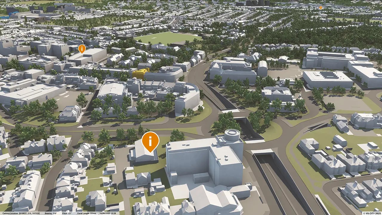
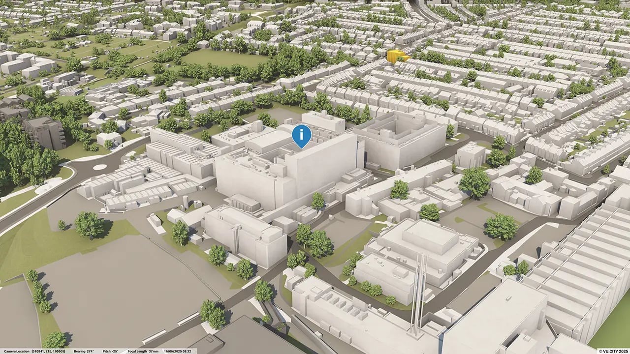
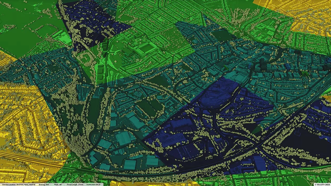
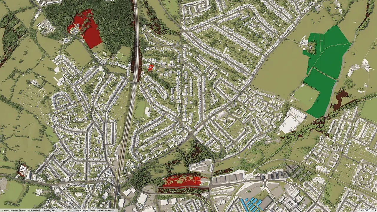
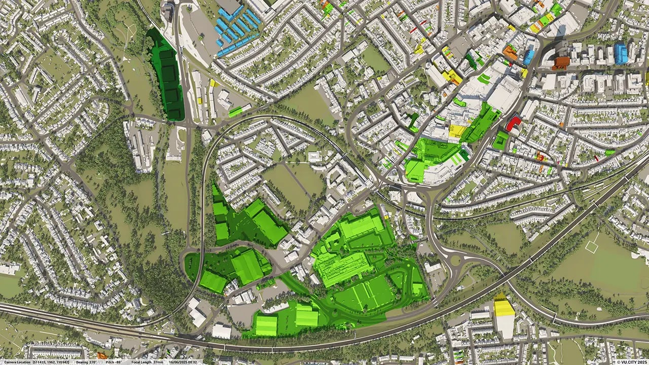
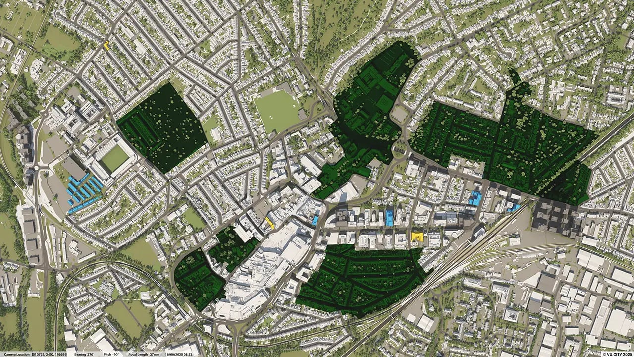
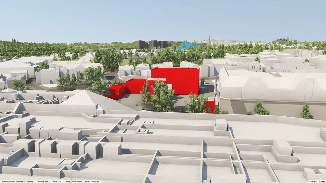
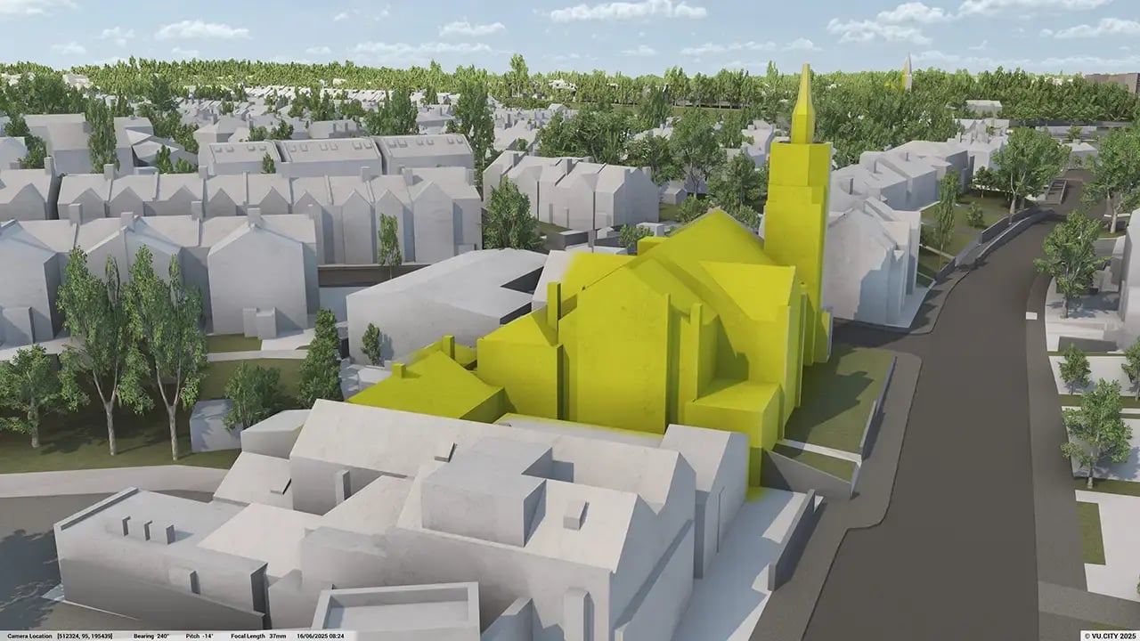
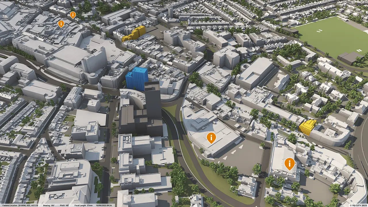

Watford has a long established urban centre, with a market charter dating back to the 12th century. Its urban form features a range of typologies, including terrace Victorian housing and planned housing estates from the 20th century, giving Watford a diverse urban character.
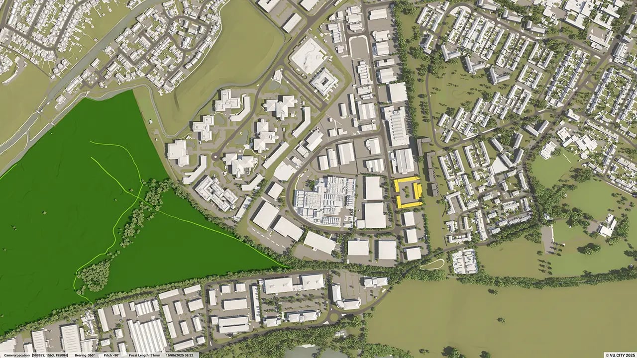
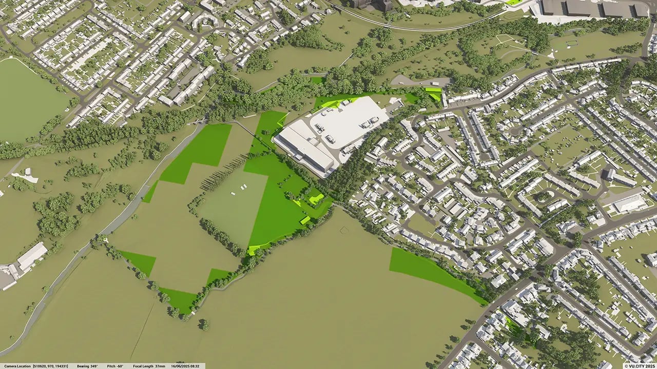
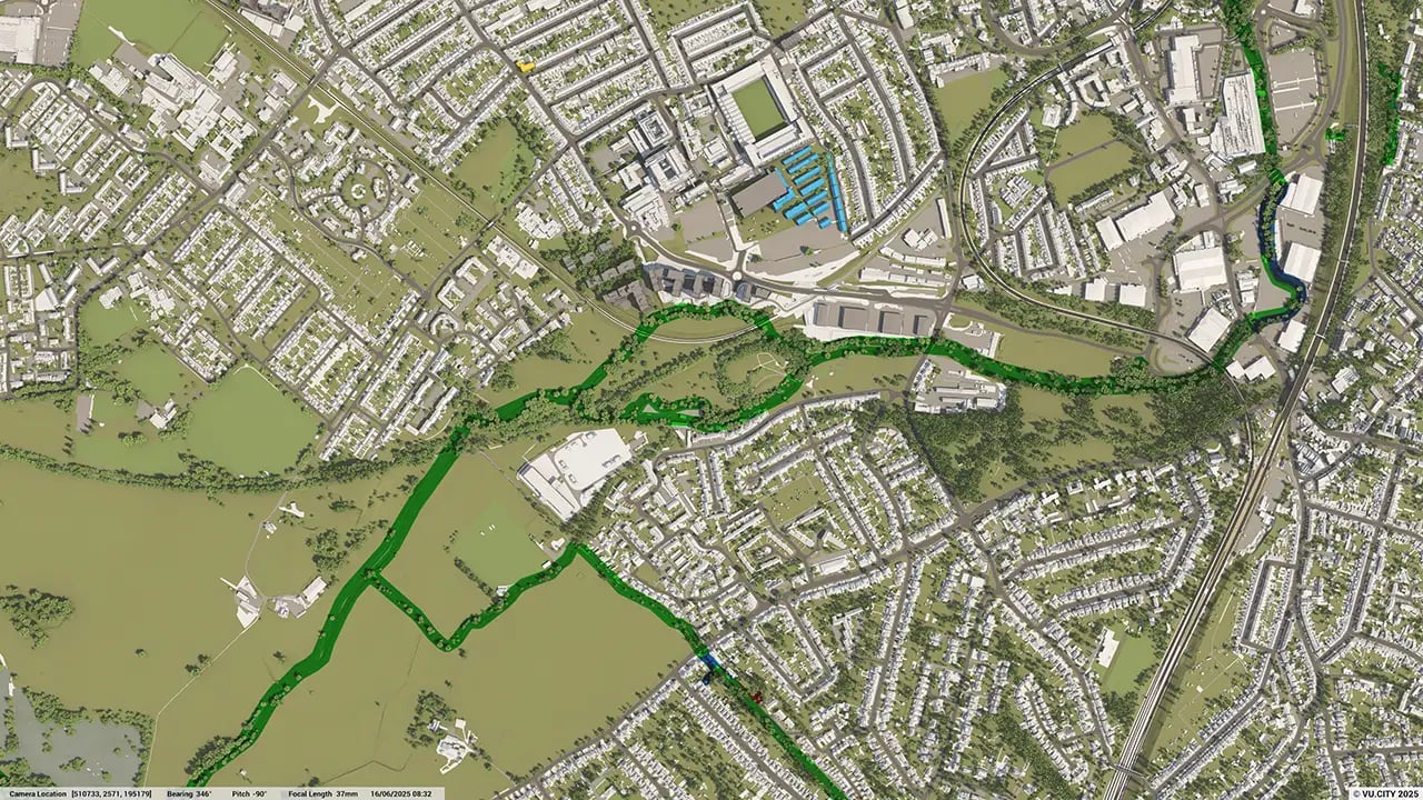
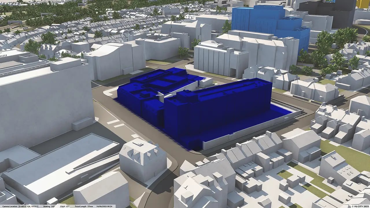
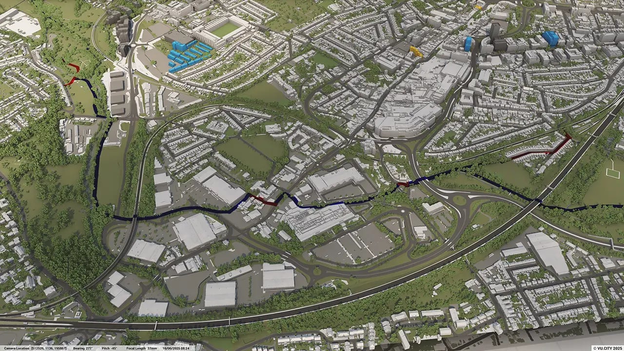
Planning and designing new schemes in Watford is complex, with significant development taking place on previously built land, concentrating in selected areas of the borough, such as the town centre, Watford Junction, and the Health Campus.
Understanding the varied context, maximising the excellent transport links, whilst remaining sensitive to the character of the area and environmental challenges is critical in creating well designed schemes to serve Watford for decades to come.
VU.CITY’s 3D digital twin technology helps built environment professionals visualise and instantly understand a site's potential in Watford. Our platform brings collaboration to the forefront of the planning process, enabling teams to overcome challenges quicker and make smarter decisions.
Trusted by 6,000+ users across 26 cities
Architects, developers, local authorities, urban planners, and more trust VU.CITY to help achieve their goals.
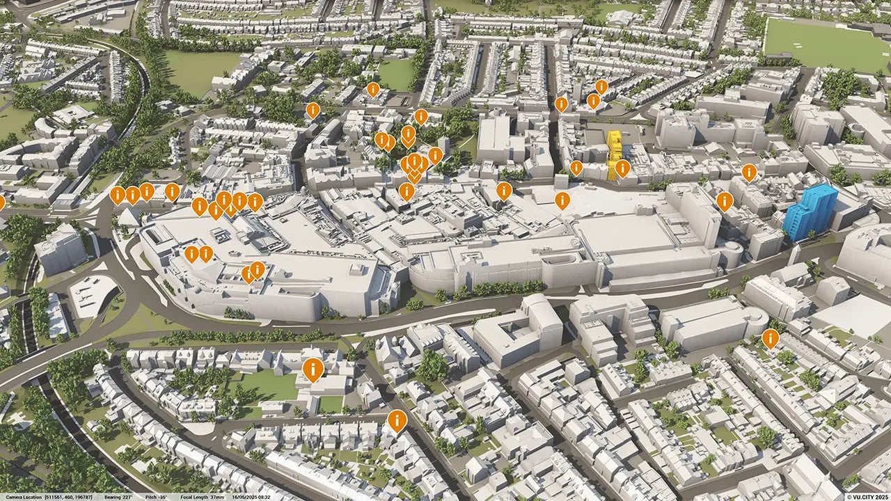
Organise and visualise your geospatial data in accurate context with our comprehensive suite of digital design and development tools.
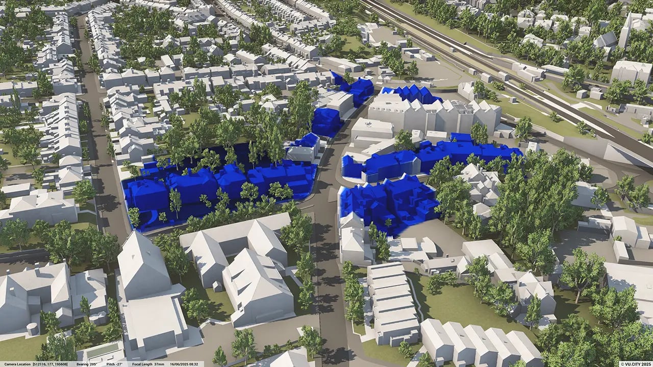
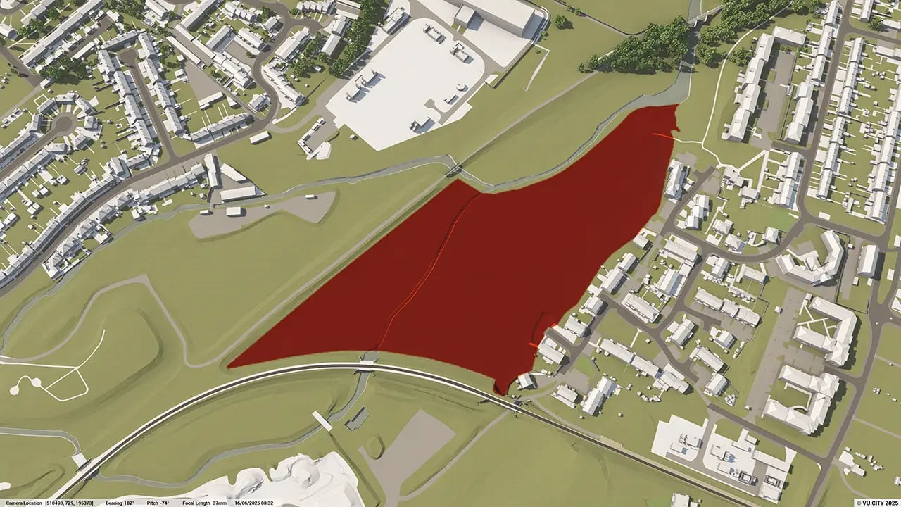
VU.CITY Watford: 3D Model Features and Planning Tools


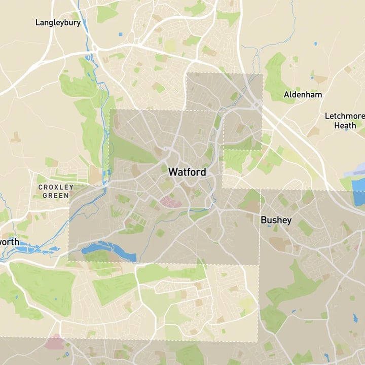
Watford 3D tile coverage
Whether you’re focusing on a single neighbourhood or the entire cityscape, VU.CITY provides full coverage with unmatched precision.
VU.CITY Watford FAQs
Here are some frequently asked questions about VU.CITY's Watford 3D Digital Twin and Model.
How can the VU.CITY Watford 3D model support planning in a historic and diverse urban area?
The model provides a realistic view of Watford’s unique mix of Victorian housing and modern developments. It allows planners and developers to assess how new projects interact with the existing character and heritage, making it easier to plan sensitive, well-integrated designs.
What are the advantages of using the Watford 3D model for development on previously built land?
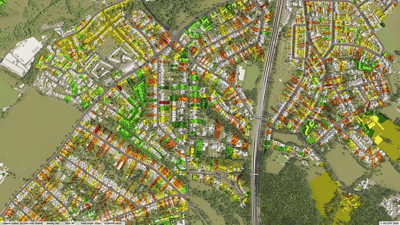
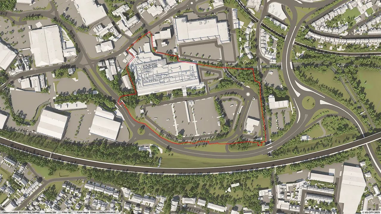
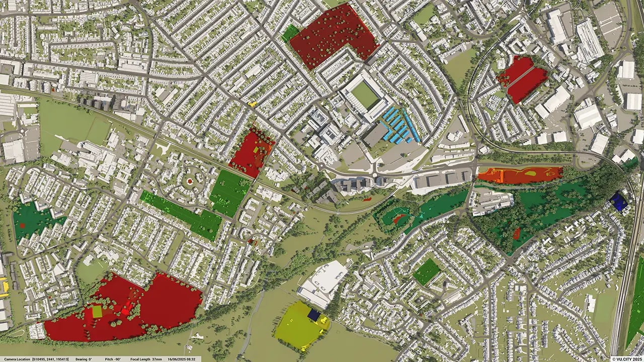
VU.CITY Watford helps users visualise redevelopment in areas with limited space. Tools like massing studies and sunlight analysis allow planners to test design options quickly, ensuring they maximise space without compromising on quality or surrounding context.
How can the Watford model help developers present their projects to stakeholders?
The model includes features like the Camera Tool and view analysis. These tools enable users to present realistic visuals from key viewpoints, making it easier to communicate project impacts and get stakeholder buy-in early.
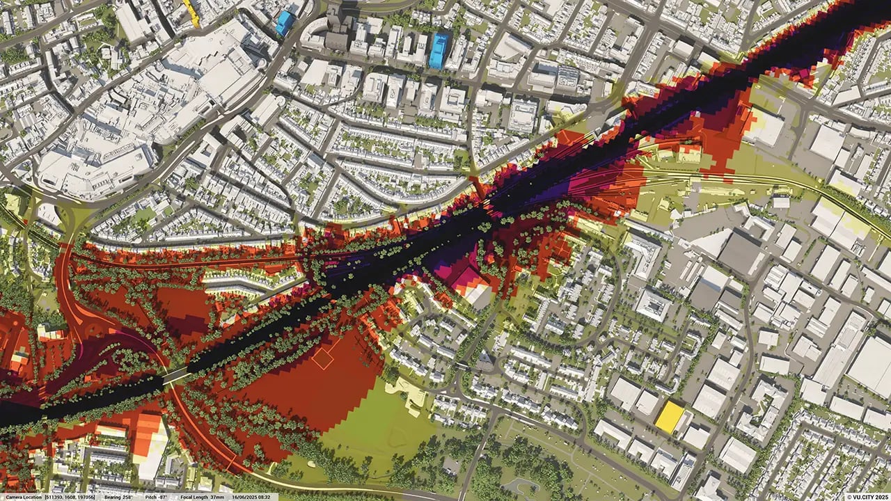
What environmental and transport data are available in the VU.CITY Watford model?
The model includes data layers such as transport links, flood zones, and sunlight impact assessments, which help developers and planners understand how new projects fit into Watford’s infrastructure and environmental landscape.
Who benefits most from using the VU.CITY Watford model?
Architects, planners, developers, and local councils all benefit. The model enhances collaboration, streamlines planning for complex urban areas, and ensures new projects align with Watford’s strategic growth and preservation goals.
Explore digital 3D geospatial solutions for the built environment
VU.CITY provides clear, powerful tools for key decision-makers across the built environment, helping them visualise and shape the future of cities with confidence and precision.
Make smarter decisions with data-driven insights, from infrastructure to sustainability.
Unlock the power of Generative AI for optimal design and streamlined decision-making.
Bring your designs to 3D life with state-of-the-art modelling tools.
Collaborate seamlessly across studies, planning, and design.
Utilise advanced 3D models and a data-driven approach with our flexible ZTV service.
Bring Your Vision to Life with a 3D Flythrough Video.
26 UK & International Cities
Over 3,000+ sq km accurate to 15cm | Tools to scope, create & collaborate on designs
Shape Tomorrow’s Cities, Today.
Begin Your Free Trial Now.
