
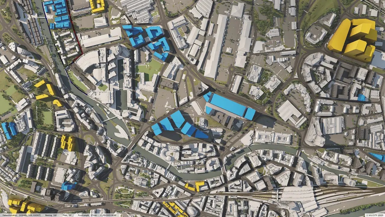
Leeds 3D Model
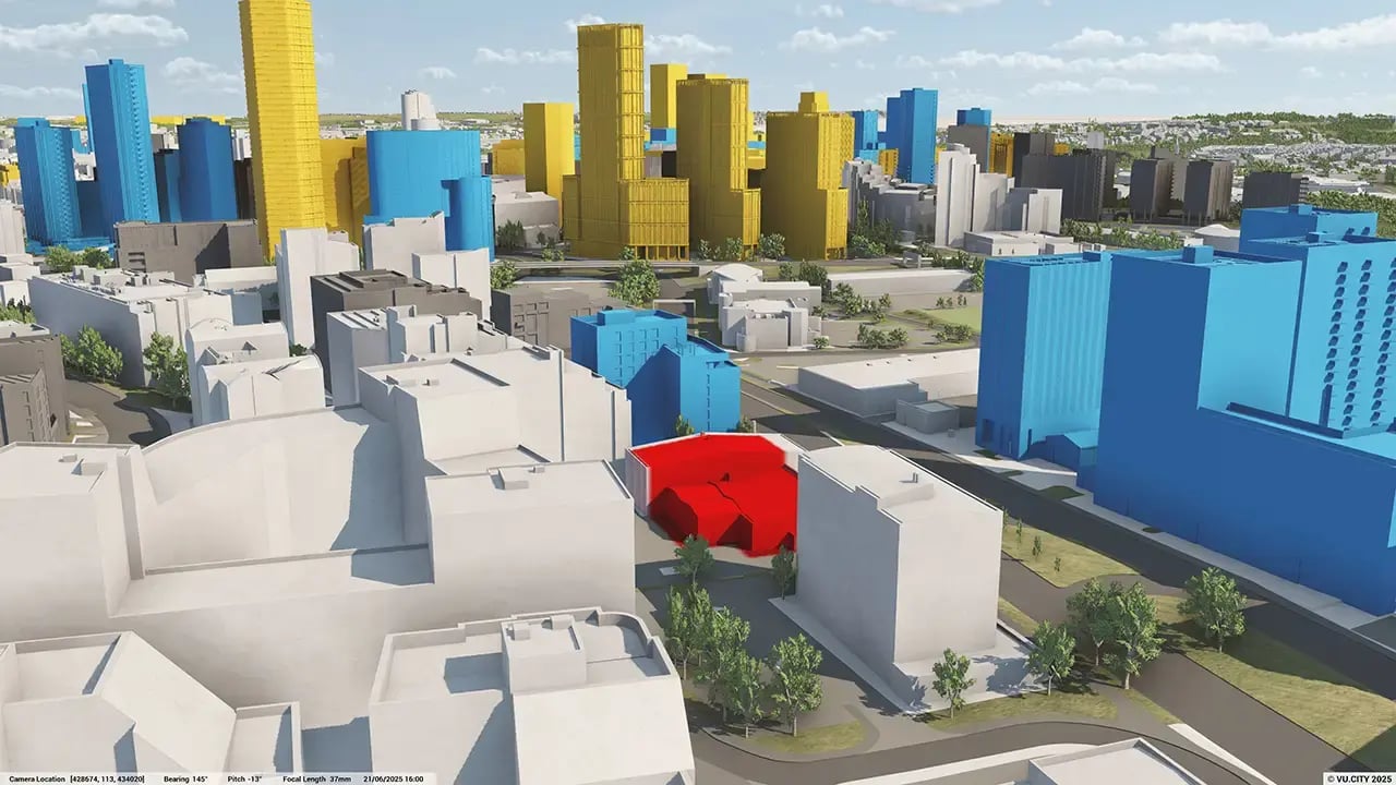
Minimise project risks with our Leeds 3D Model functionality. Rich data layers help lower design and planning uncertainty, highlight potential impacts, and accelerate key decision-making for projects.
With VU.CITY’s accurate and intuitive 3D digital twin platform, all stakeholders can expect smooth collaboration, making smarter decisions and help increase planning success in the built environment.
-
44DATA LAYERS
-
86 sq kmMODELLED TO 15CM ACCURACY
-
177Consents approved VU.CITY
-
180,326TREES, ACCURATE HEIGHT AND CANOPY

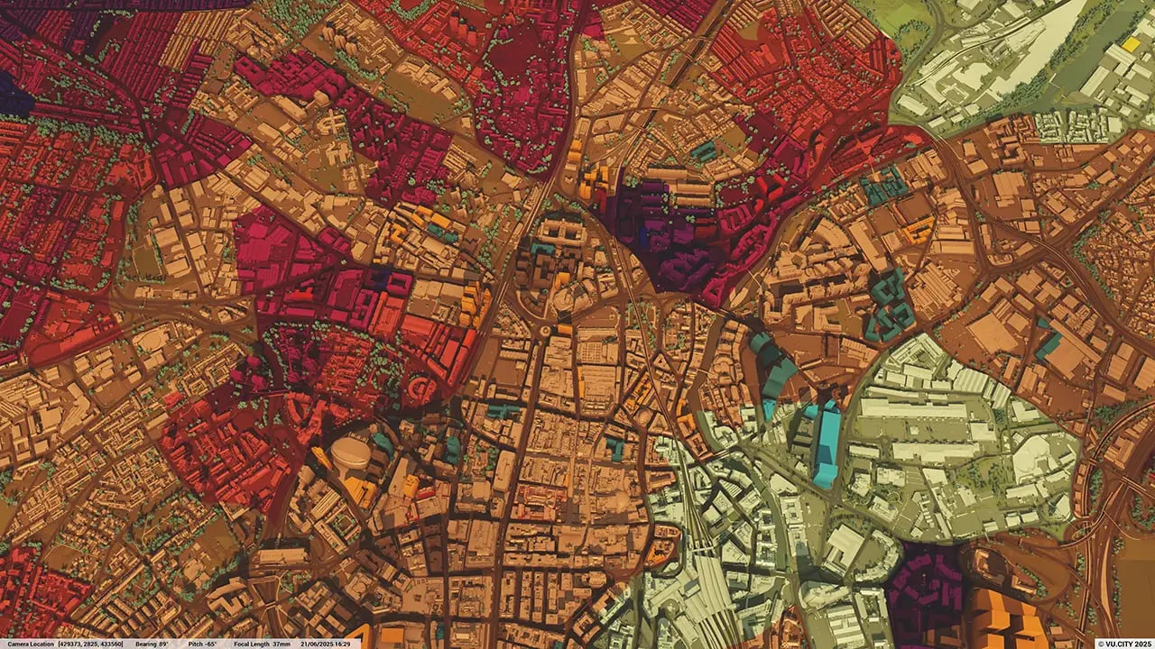
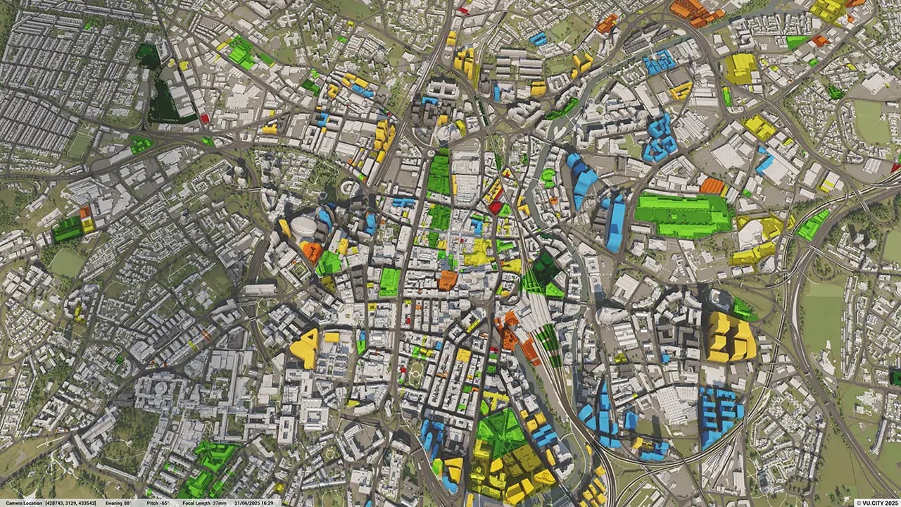
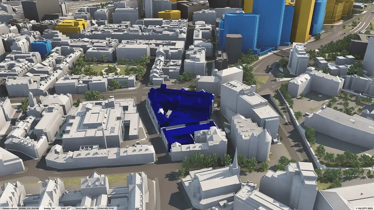
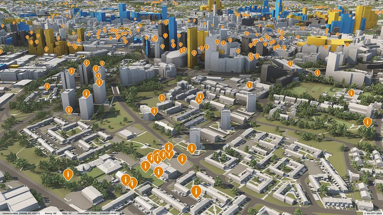
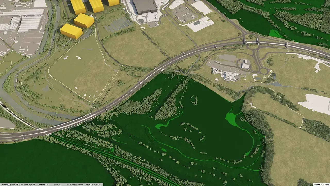
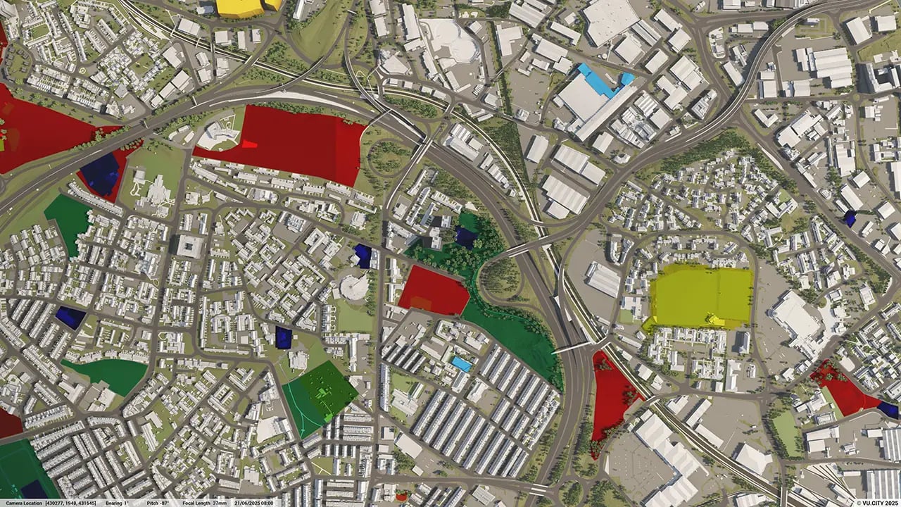
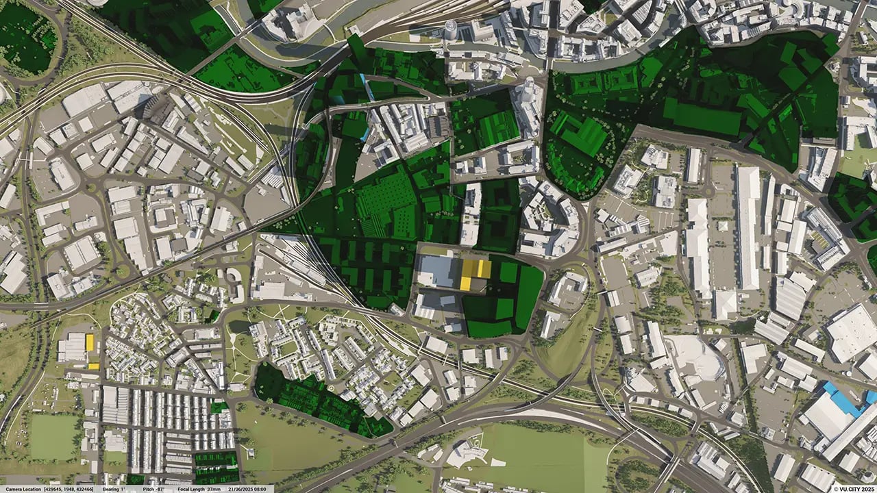
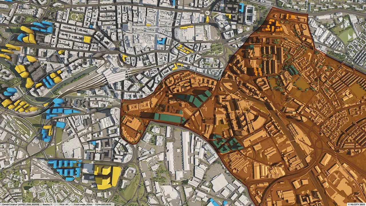
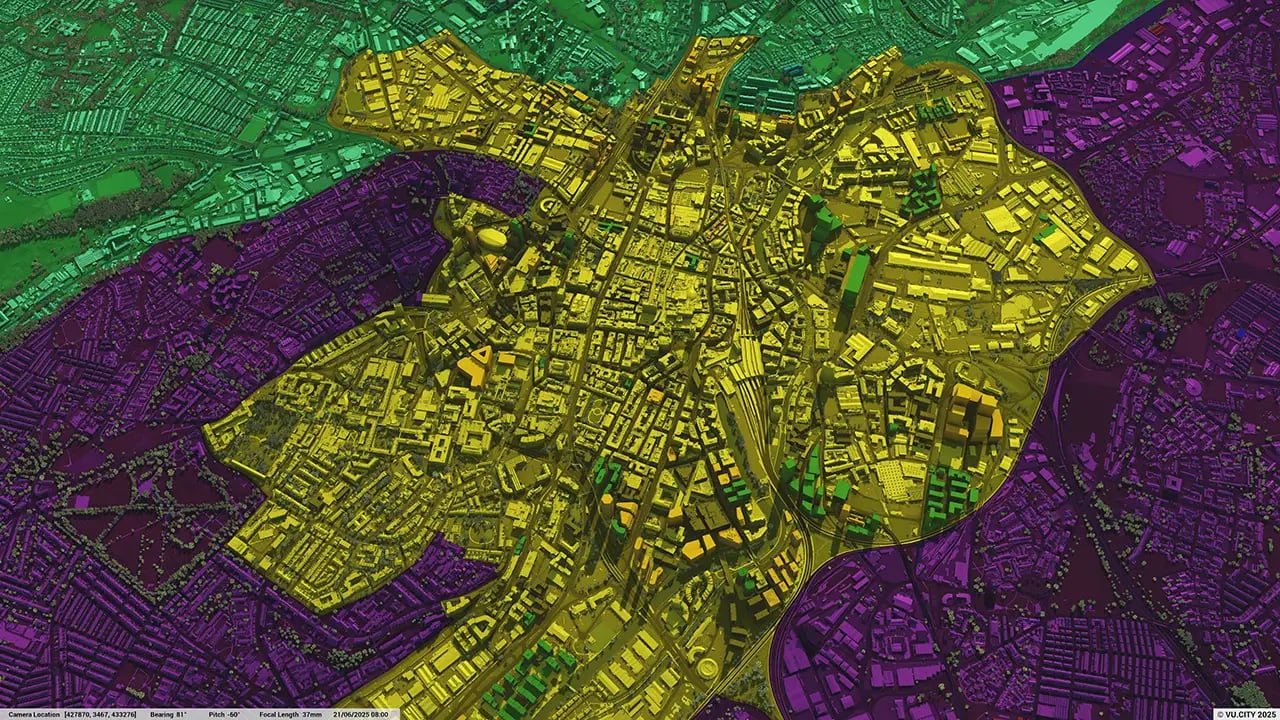
Leeds data layers
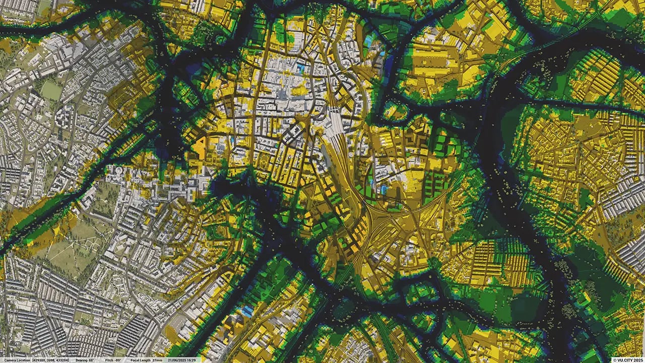
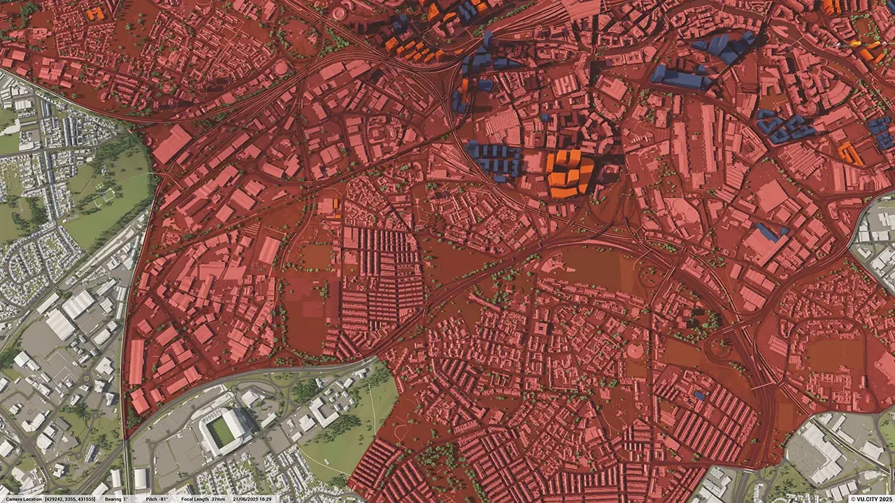
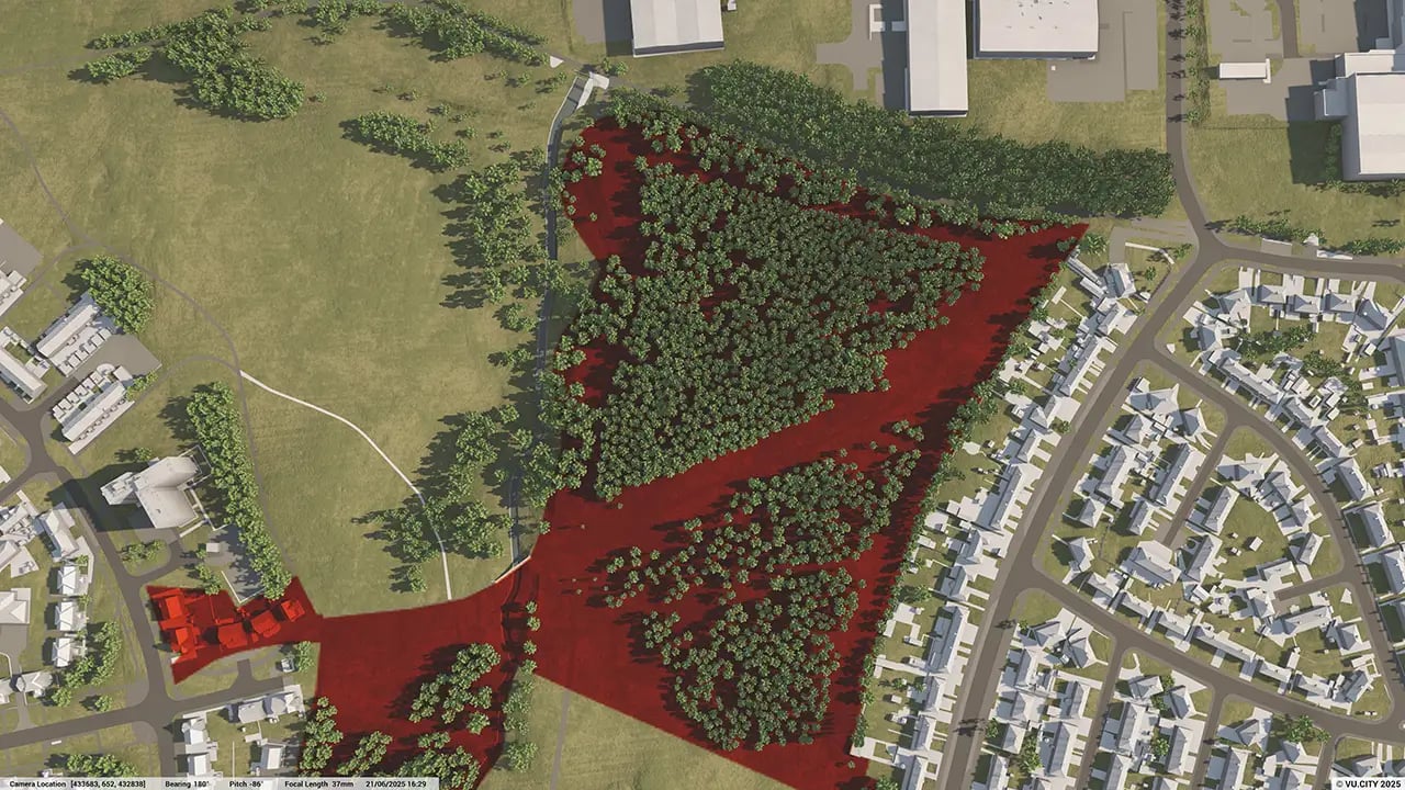
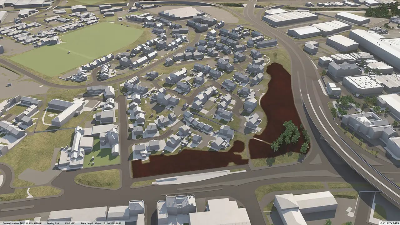
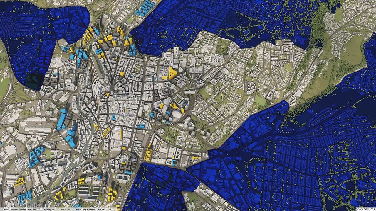
From transportation and zoning to environmental factors, VU.CITY Leeds 3D model data layers provide essential insights that ultimately lead to better decisions on the future of development in the city.
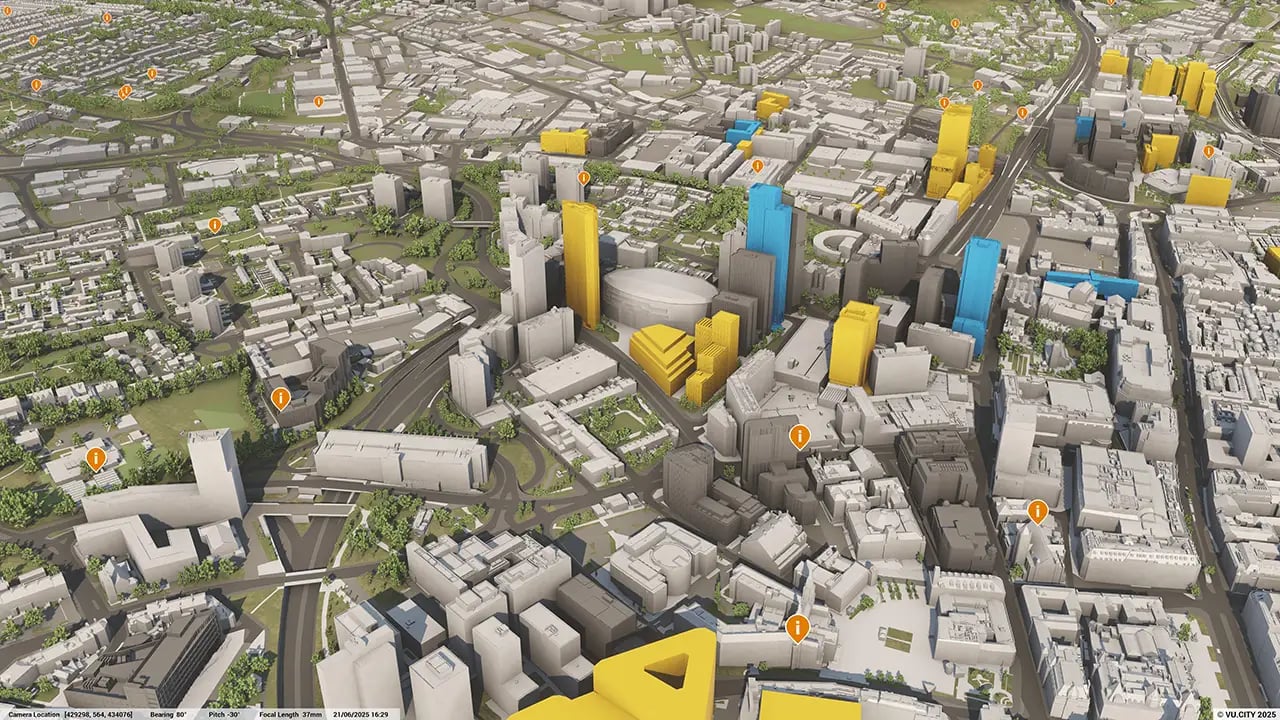
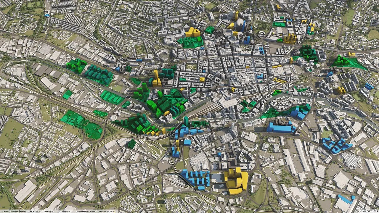
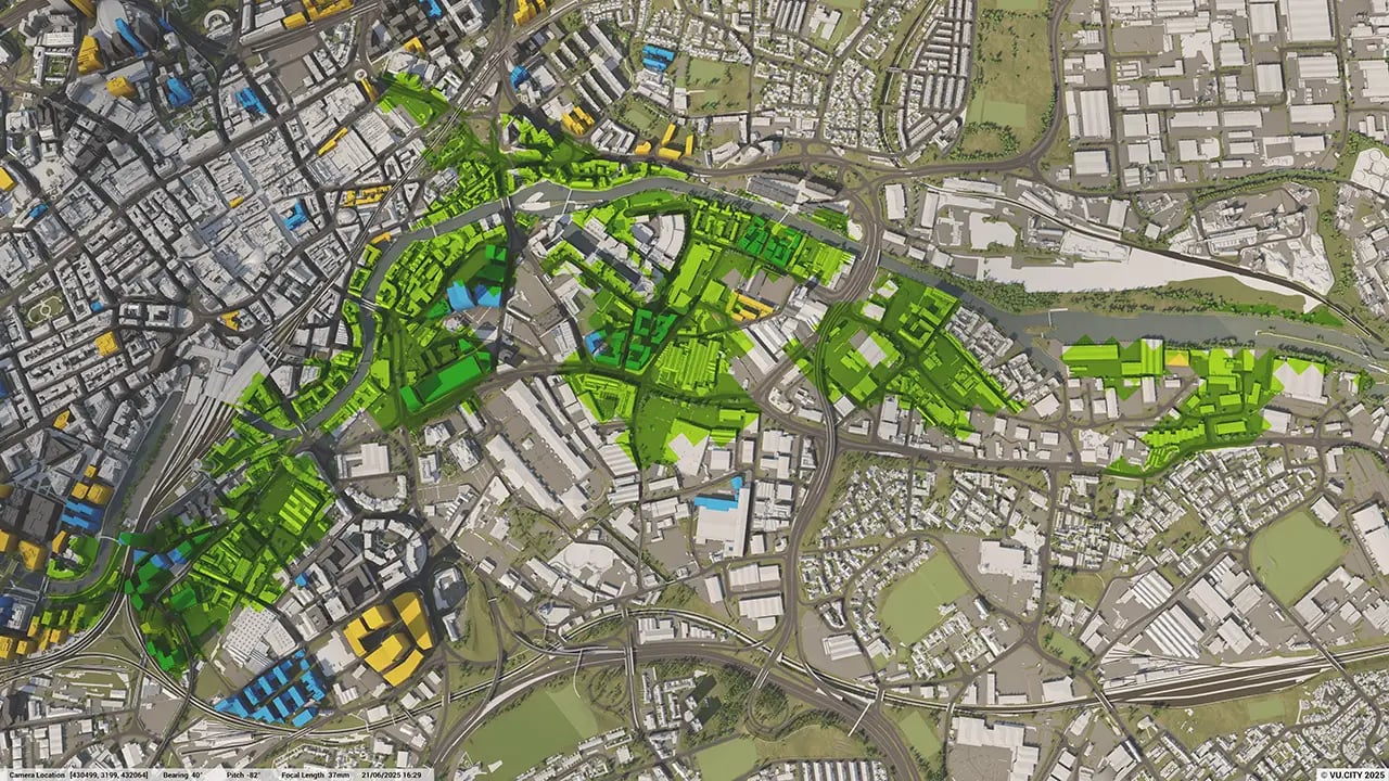
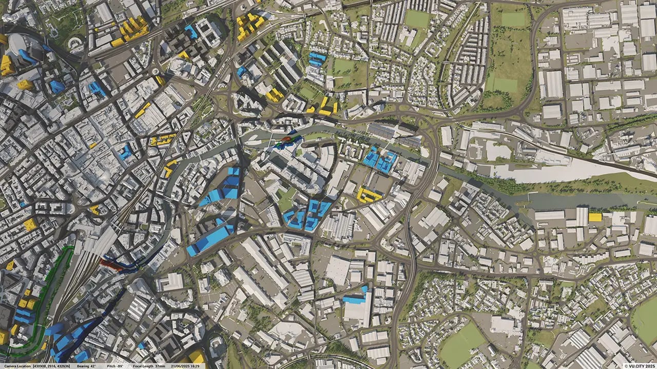
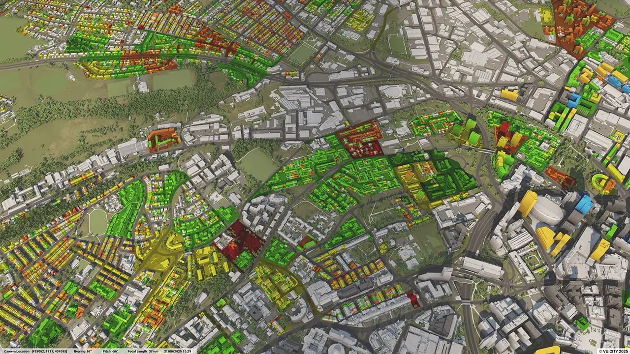
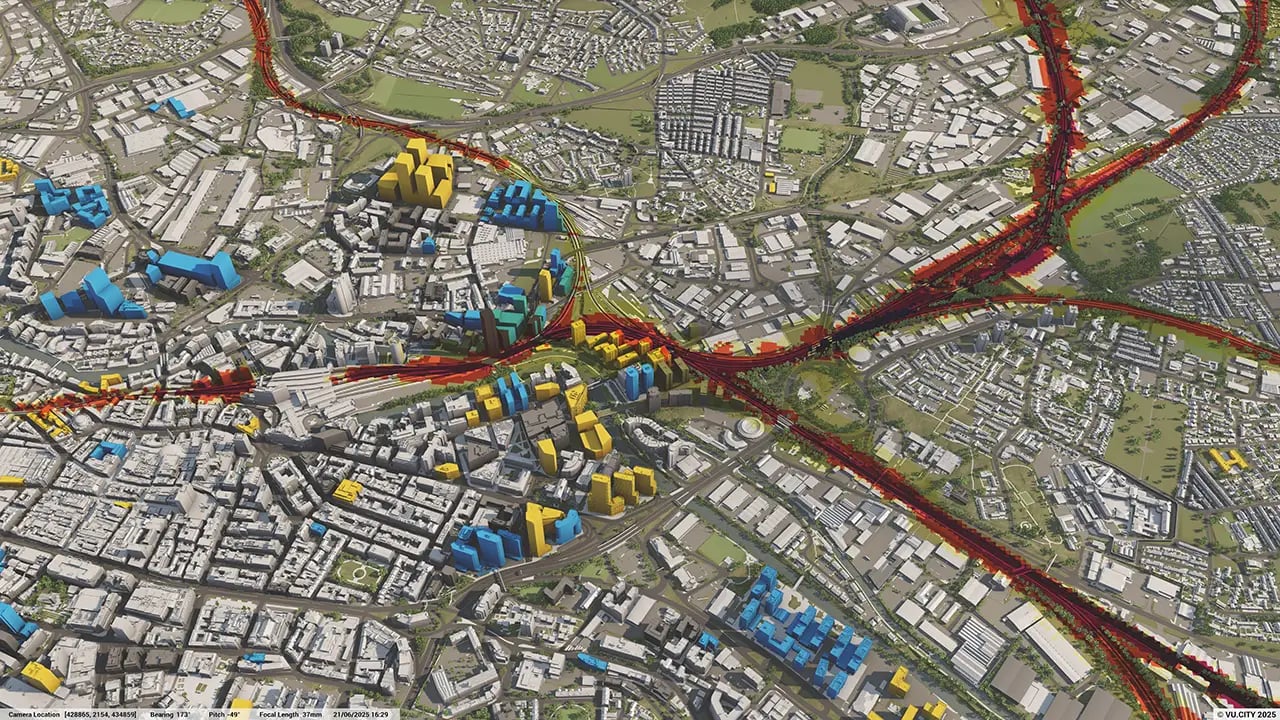
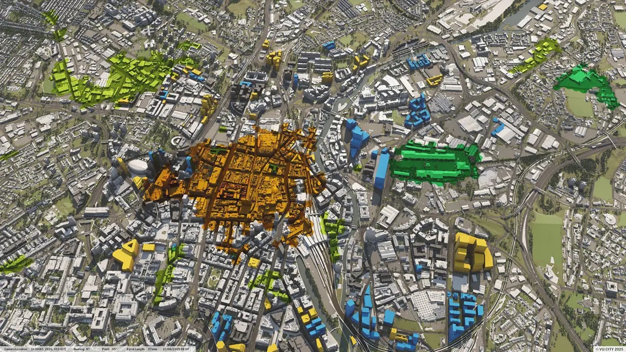

With the Leeds city centre set to double in size, regeneration projects will lead to thousands of jobs being created and homes built. Major infrastructure schemes such as HS2 and Northern Powerhouse Rail will enhance Leeds’ connectivity. The opportunities for architects, planners and developers are many – as are the pitfalls.
VU.CITY’s 3D digital platform reduces unnecessary risks: from allowing users to assess consented developments and avoid unnecessary mistakes to importing pre-designed models from external 3D software to resize and reposition in context to know exactly what will work and get approval.
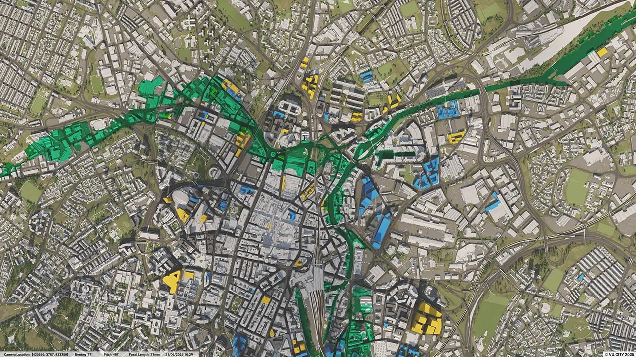
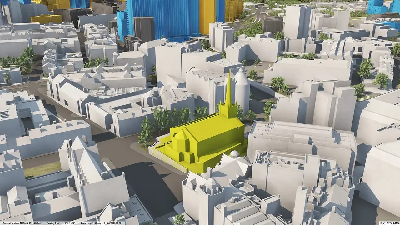
A £20m plan to transform large parts of Leeds city centre has been approved by councillors, which includes turning parts of City Square into a woodland glade with trees and water features set amongst a large pedestrianised area. It is a brilliant achievement and one that all cities can aspire to by using a digital platform to explore placemaking possibilities: VU.CITY’s accurate and relevant city data layers examine key factors, such as conservation areas and designated freespace, neighbourhood and development areas, to examine a scheme’s feasibility and highlight areas for improvement.
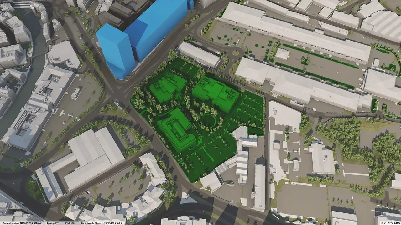
Our Plantech pioneer users of VU.CITY Leeds, including Leeds City Council, are taking advantage of the model’s many benefits. From being able to understand and assess a site’s opportunities and challenges, testing refined designs in context, enhancing pre-app conversations and planning submissions, to improving how everyone involved collaborates.
Trusted by 6,000+ users across 26 cities
Architects, developers, local authorities, urban planners, and more trust VU.CITY to help achieve their goals.
Organise and visualise your geospatial data in accurate context with our comprehensive suite of digital design and development tools.
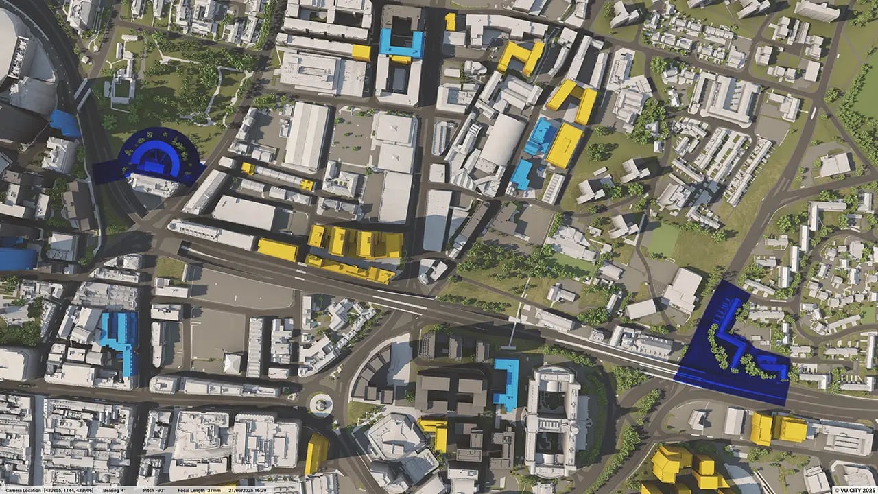
VU.CITY Leeds: 3D Model Features and Planning Tools


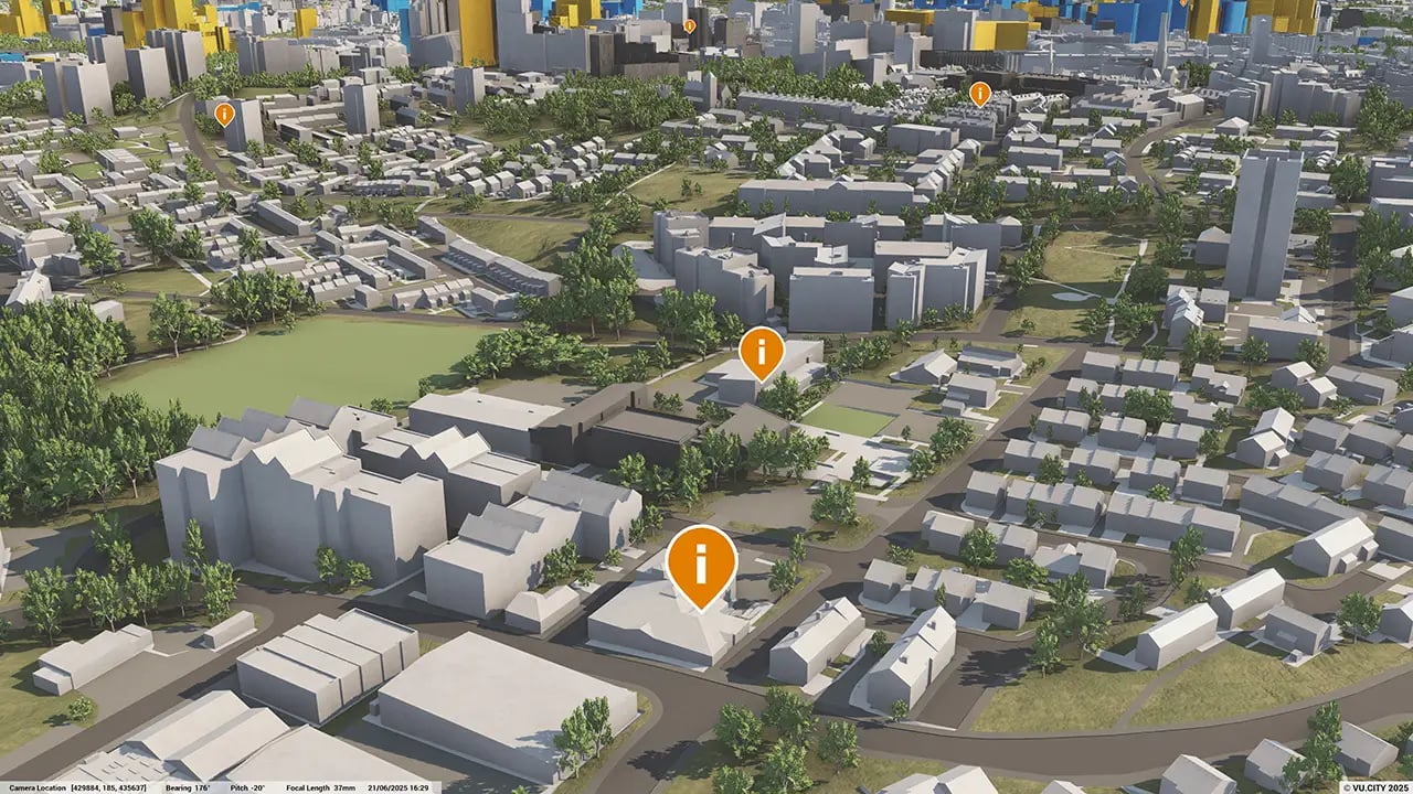
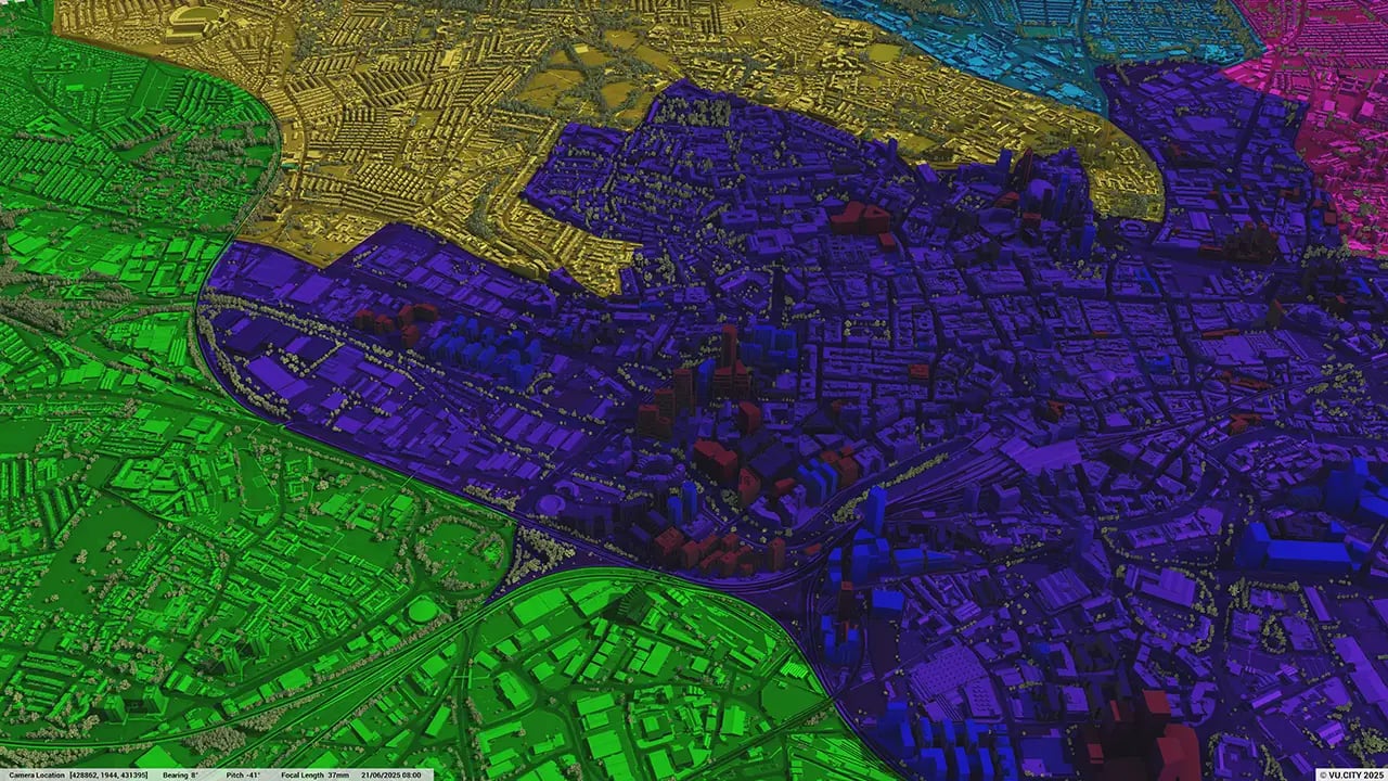
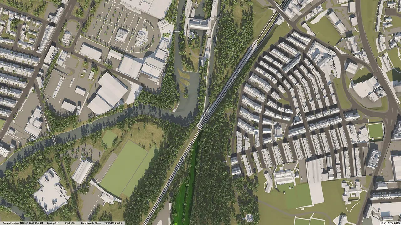
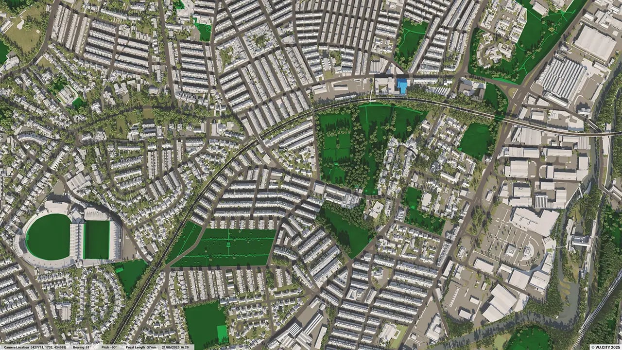
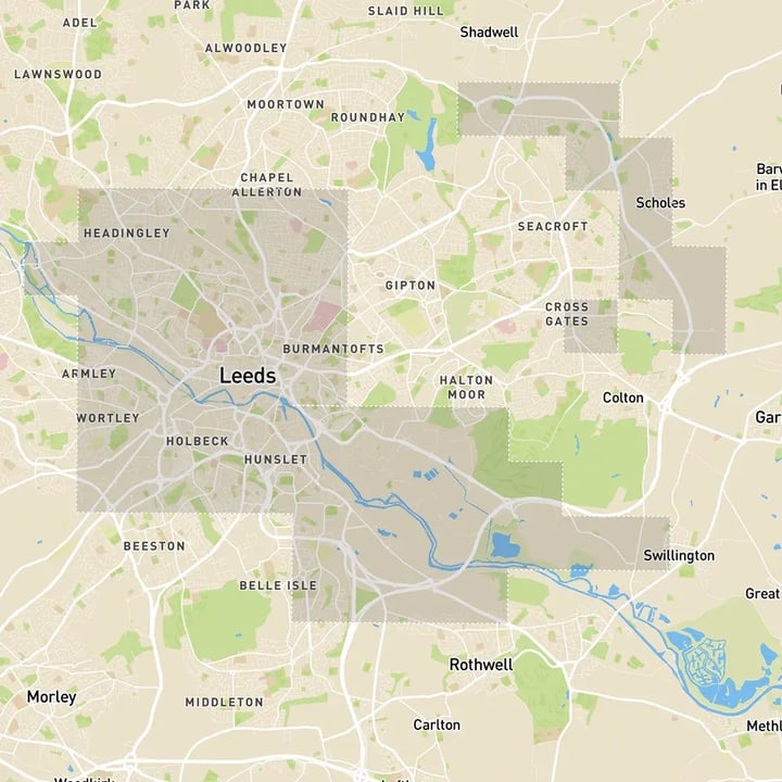
Leeds 3D tile coverage
Whether you’re focusing on a single neighbourhood or the entire cityscape, VU.CITY provides full coverage with unmatched precision.
VU.CITY Leeds FAQs
Here are some frequently asked questions about VU.CITY's Leeds 3D Digital Twin and Model.
How does the VU.CITY Leeds model assist with large-scale urban regeneration projects?
With Leeds city centre set to double in size, the model supports urban regeneration by enabling users to visualise project impacts, test design options, and assess factors like sunlight and massing. This helps align projects with Leeds’ growth and sustainability goals.
Can the Leeds 3D model help with understanding the impact of new developments on local heritage?
Yes, the model includes data on conservation areas, listed buildings, and key viewpoints, allowing users to analyse how new developments interact with historic sites and align with Leeds’ architectural character.
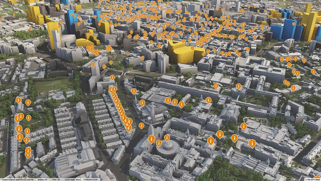
How can the VU.CITY Leeds model improve stakeholder engagement?
The model offers tools like the Presenter Tool, camera studies, and annotation features, allowing users to create realistic visuals. These tools make it easier to present projects to stakeholders, gaining feedback and building consensus early in the planning process.
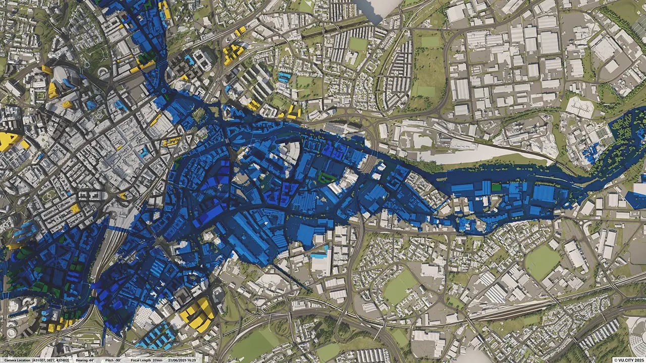
What environmental data layers are available in the Leeds model?
The Leeds model includes layers for sunlight analysis, green spaces, flood zones, and tree preservation orders, helping planners and developers make environmentally informed decisions that support Leeds’ sustainability objectives.
Who benefits from using the VU.CITY Leeds model?
Architects, developers, planners, and local authorities all benefit. The model simplifies complex projects, enhances collaboration, and ensures developments align with Leeds’ strategic vision for sustainable growth and urban transformation.
Explore digital 3D geospatial solutions for the built environment
VU.CITY provides clear, powerful tools for key decision-makers across the built environment, helping them visualise and shape the future of cities with confidence and precision.
Make smarter decisions with data-driven insights, from infrastructure to sustainability.
Unlock the power of Generative AI for optimal design and streamlined decision-making.
Bring your designs to 3D life with state-of-the-art modelling tools.
Collaborate seamlessly across studies, planning, and design.
Utilise advanced 3D models and a data-driven approach with our flexible ZTV service.
Bring Your Vision to Life with a 3D Flythrough Video.
26 UK & International Cities
Over 3,000+ sq km accurate to 15cm | Tools to scope, create & collaborate on designs
Shape Tomorrow’s Cities, Today.
Begin Your Free Trial Now.
