

Communicate your story.

Deliver presentations your audience will not forget. Share imagery that wows, run live interactive tours, and bring any space to life for anyone who needs to understand it. 

Manchester skyline in 2026 visualised in VU.CITY
Manchester skyline in 2016 visualised in VU.CITY

VU.CITY Camera Views

Visualise

View, edit and customise our maps and models. Import your own areas and objects. See the big picture.

See more →

VU.CITY 3D Data Layers

Understand

Gain visual context. Combine your own data with our library of overlays to uncover insights.

See more →

VU.CITY Presenter Tool

Communicate

Generate high-quality imagery, or take your audience on an interactive, immersive tour.
See more ↓

Showcase your vision

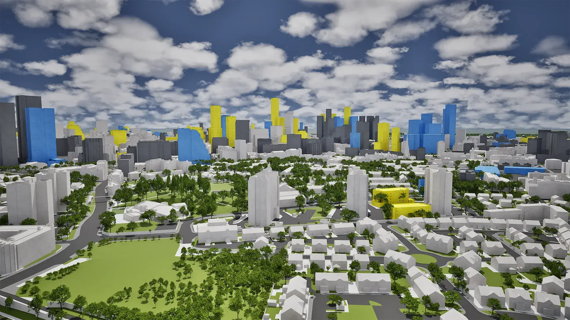
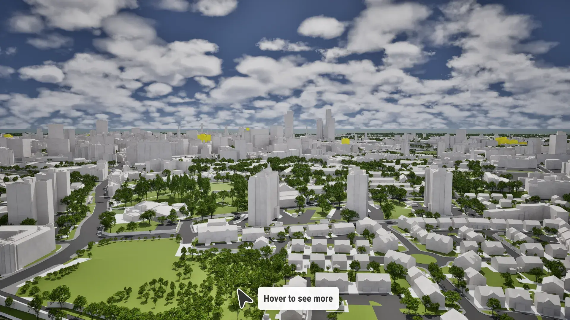
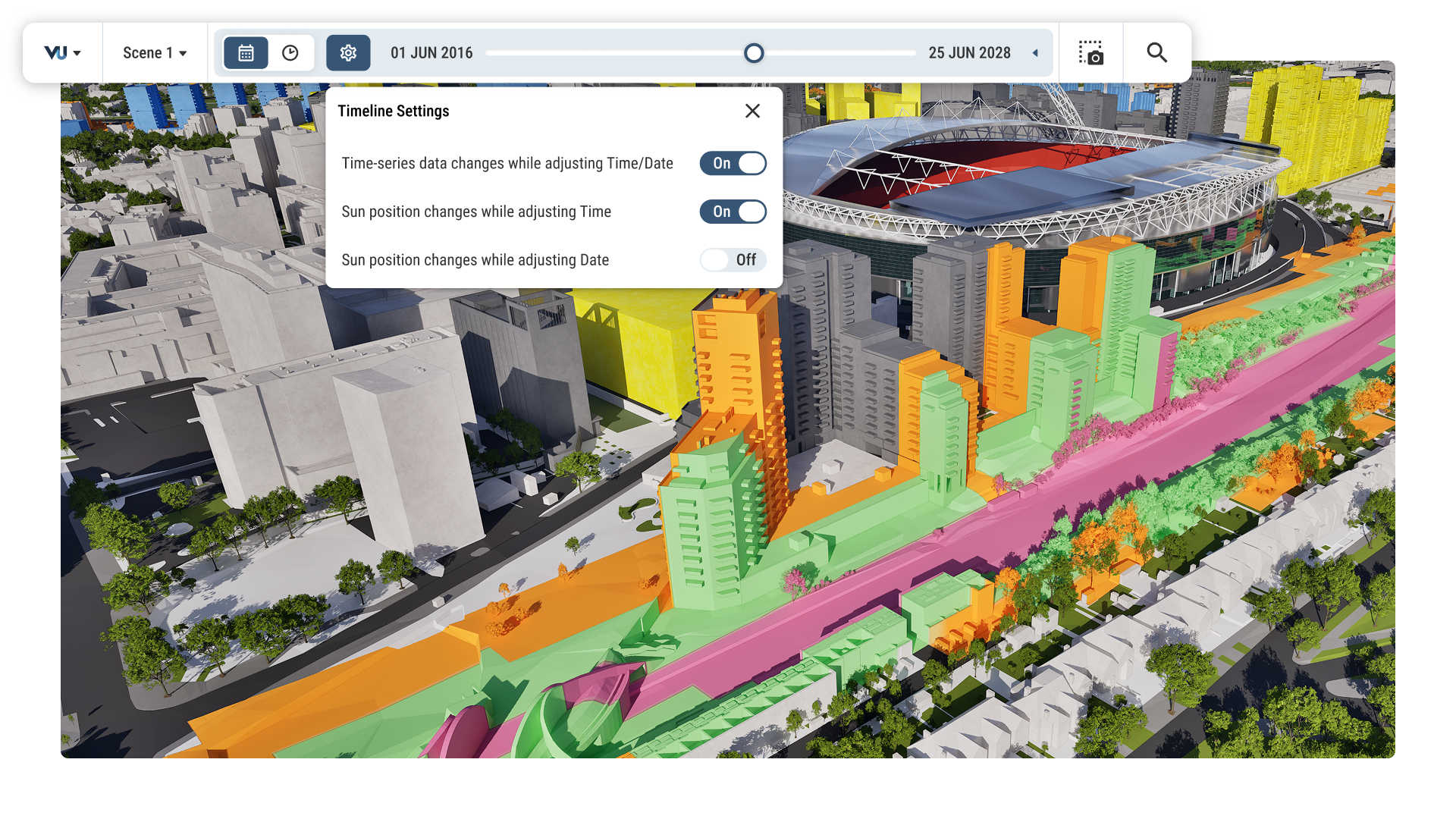
Bring ideas to life in 4D using time-based data layers in VU.CITY

Bring ideas to life in 4D

Layer time into your presentation and walk your audience through past, present and future in a single view.

Up to 8K image capture and viewpoint export in VU.CITY

Up to 8K image capture

Bolster proposals, applications and marketing with high quality imagery.

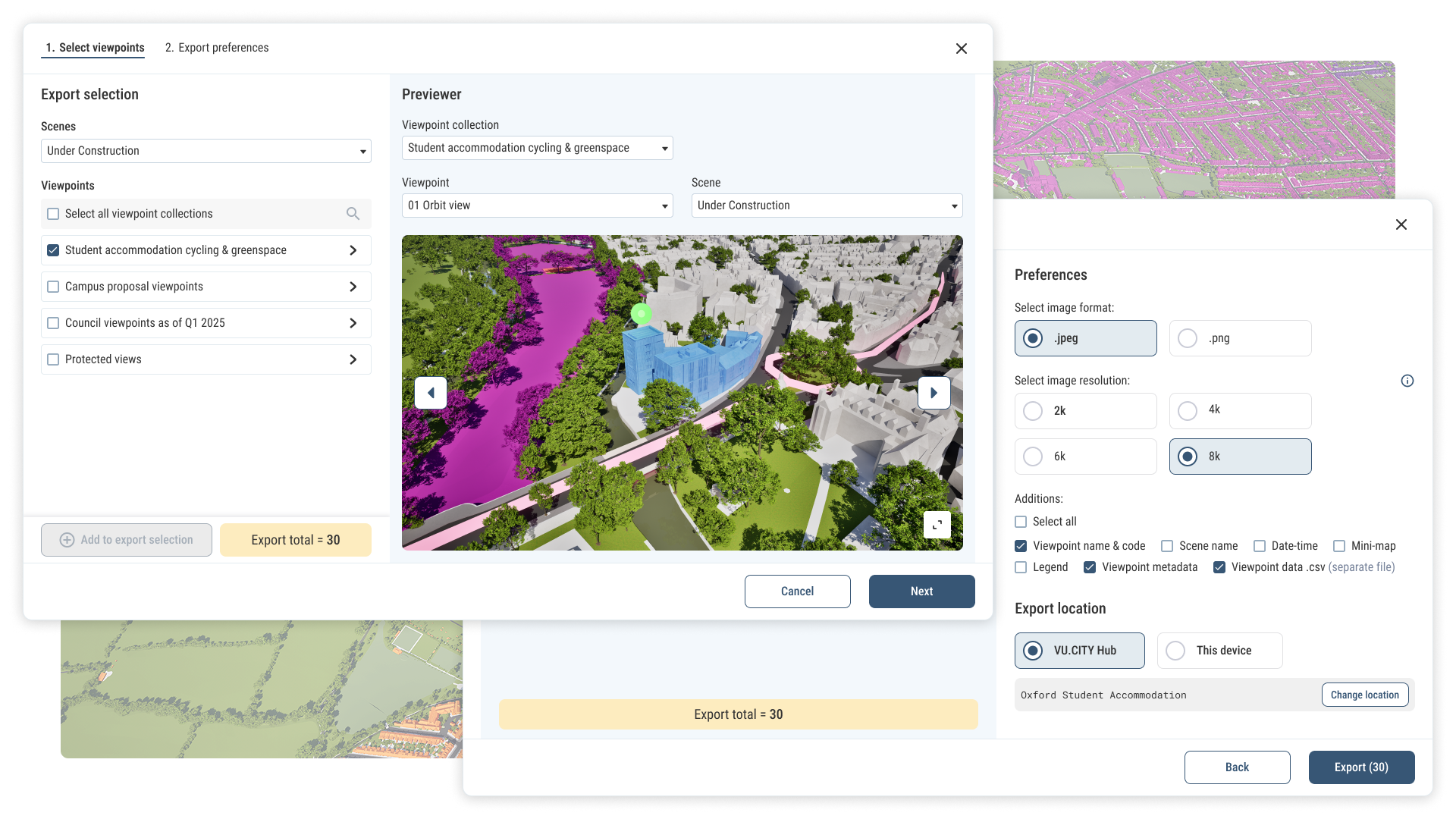
Export viewpoints from VU.CITY

Export viewpoints

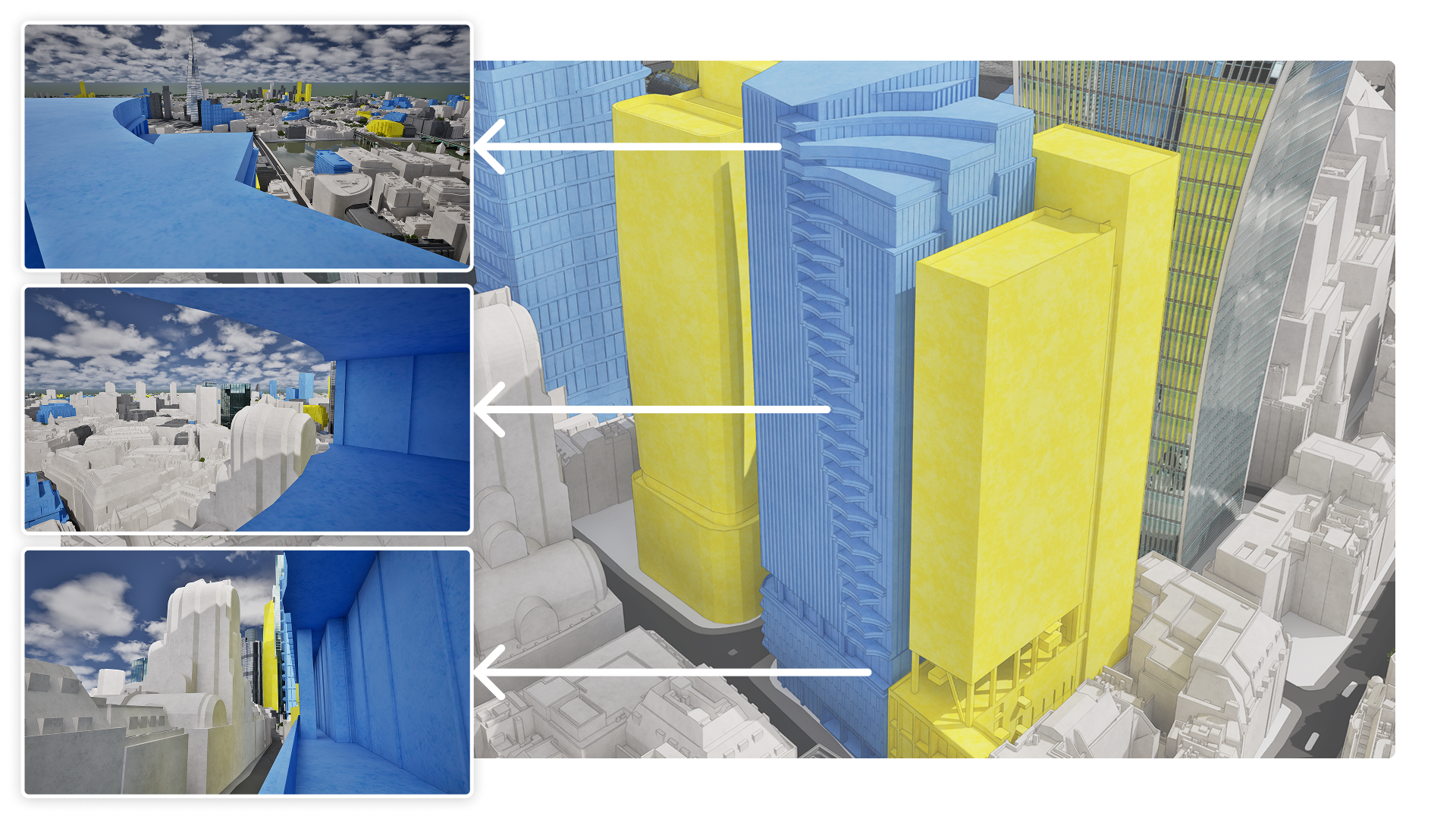
Set up multiple camera positions, then batch export them all at once to show every angle.

Quick capture images from VU.CITY

Quick capture

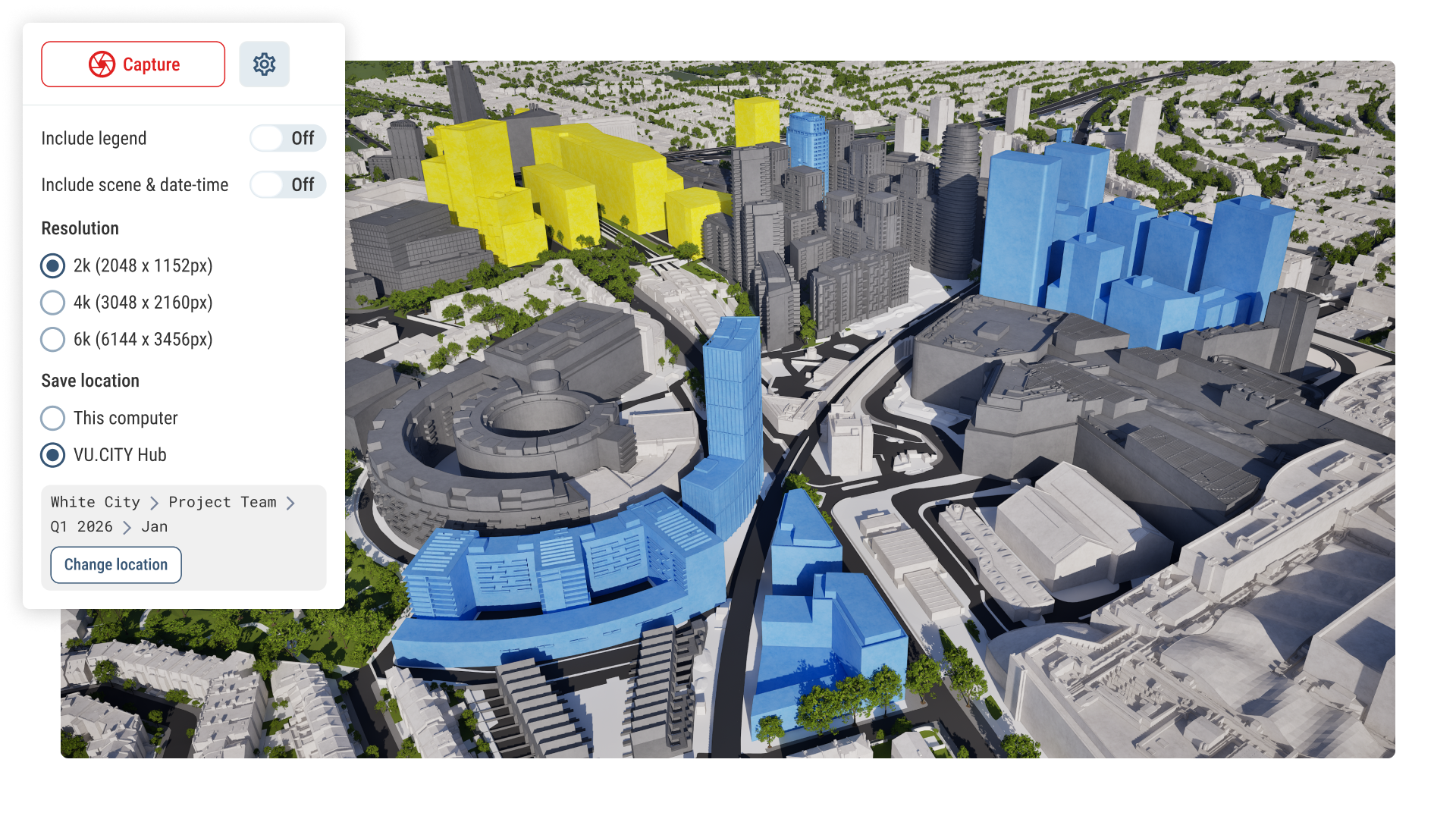
Configure your workspace, then export images with a click of a button.

Spatial storytelling, for everyone.

Combine your ideas, intelligence and data to create compelling content for proposals, plans and applications.

Quickly and easily assemble every element on a stunning canvas. Our tools are built to be mastered by anyone, no matter your experience.

VU.CITY gives everyone the tools to tell a story that lands.   

V

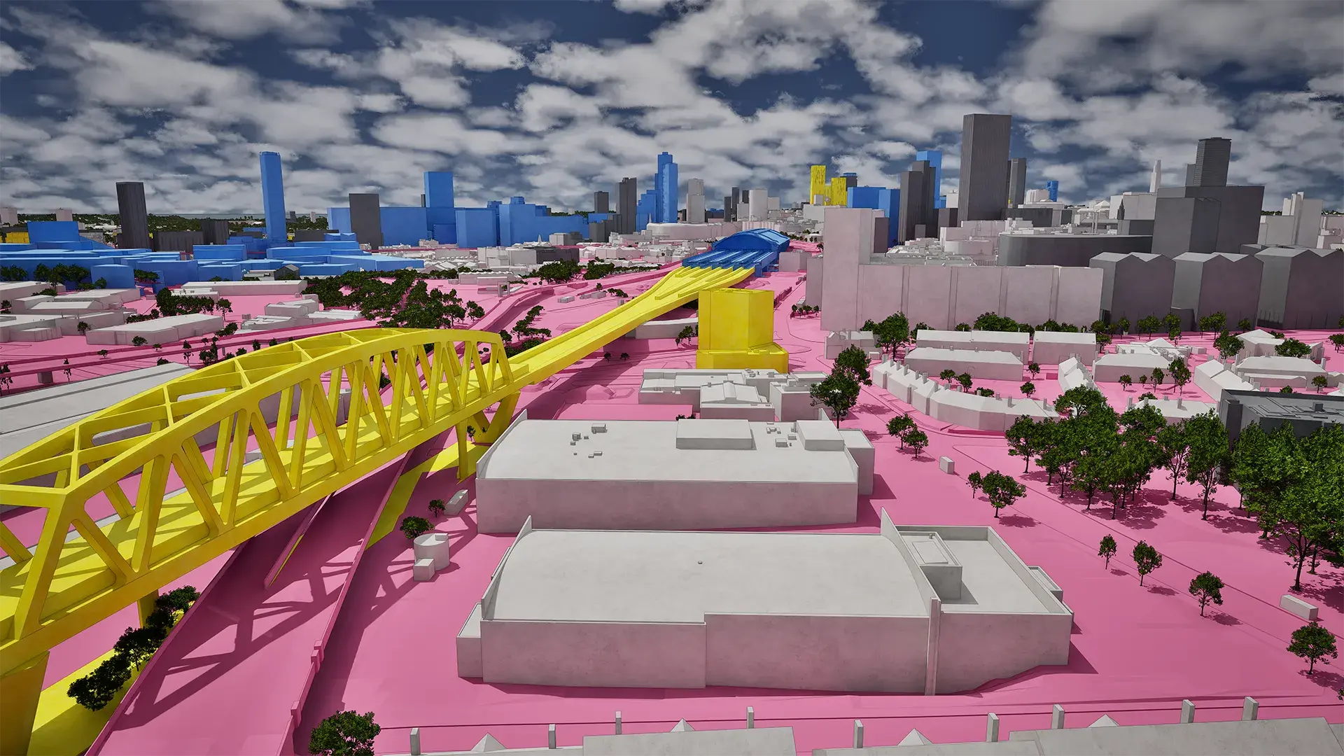
Birmingham future skyline in 2030 visualised in VU.CITY
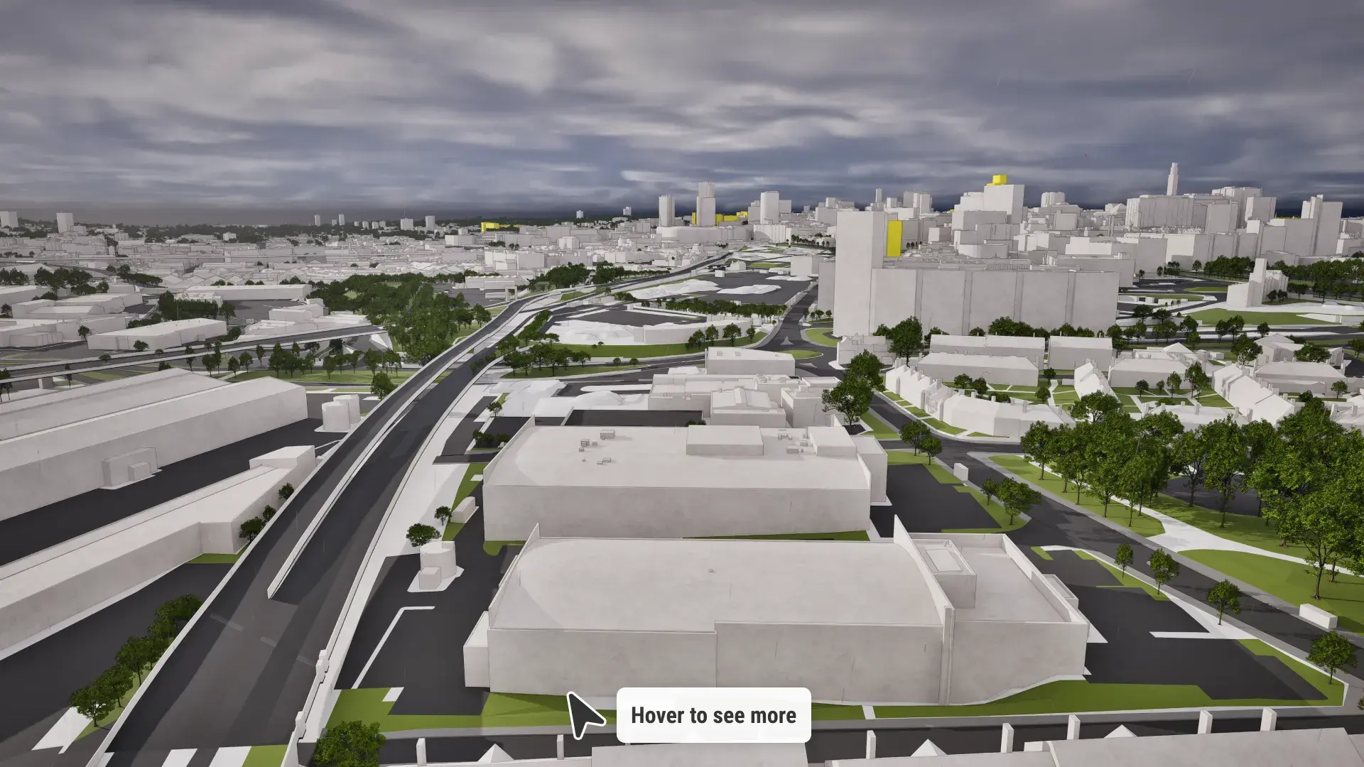
Birmingham skyline in 2016 visualised in VU.CITY