
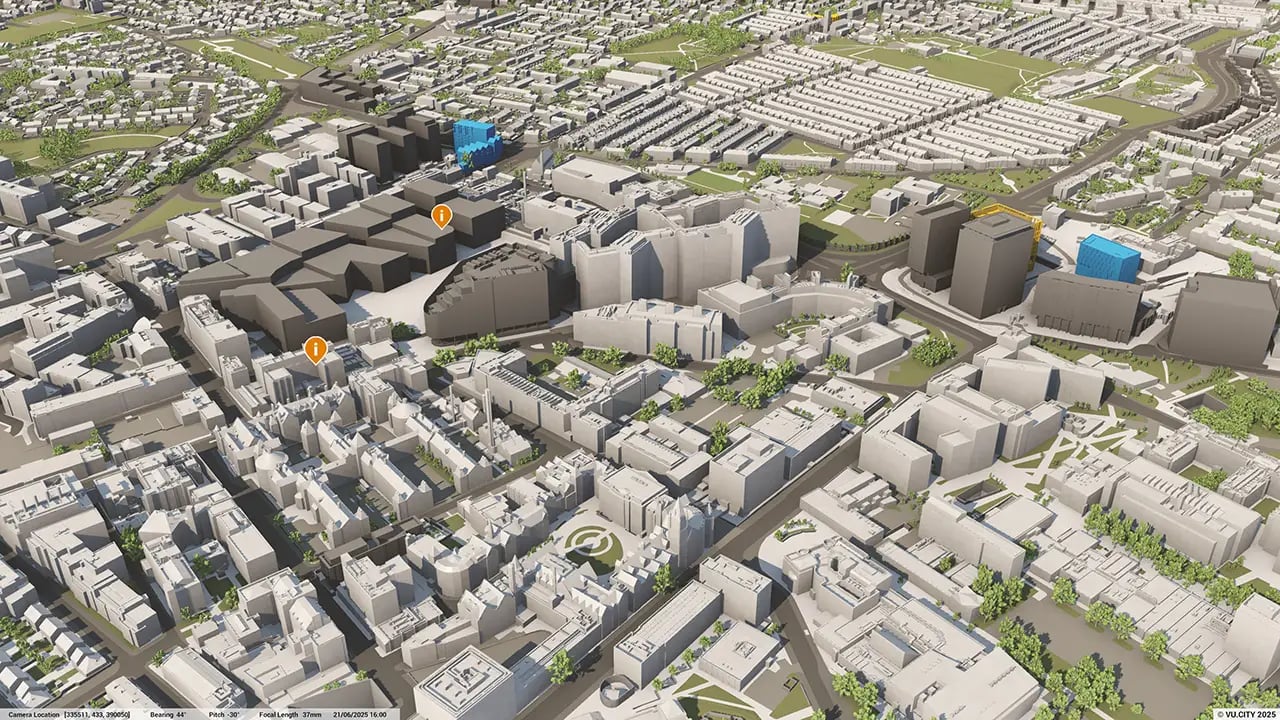
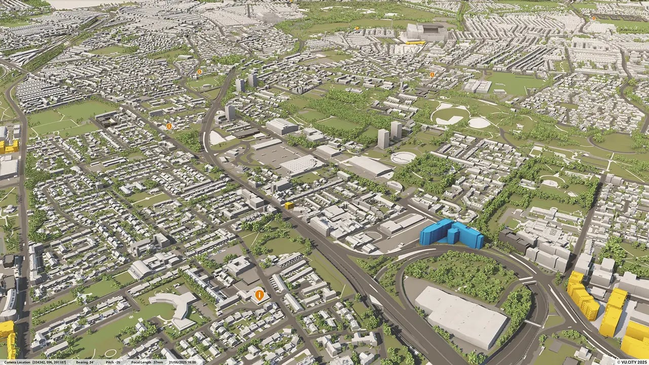
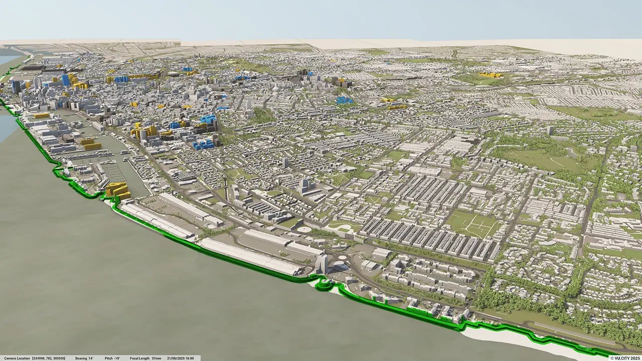
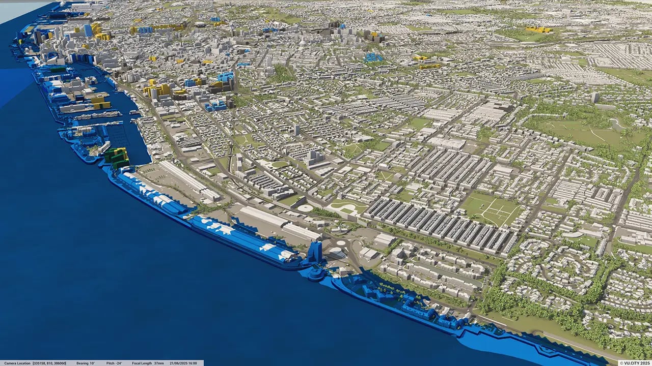
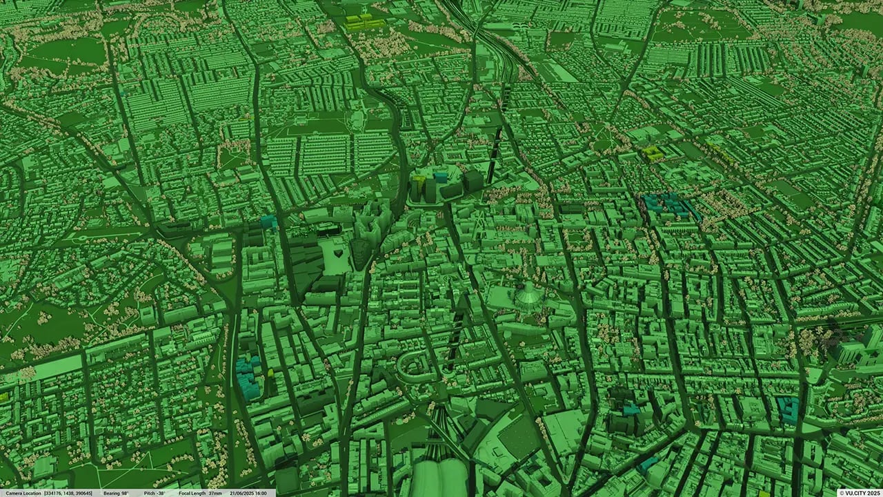
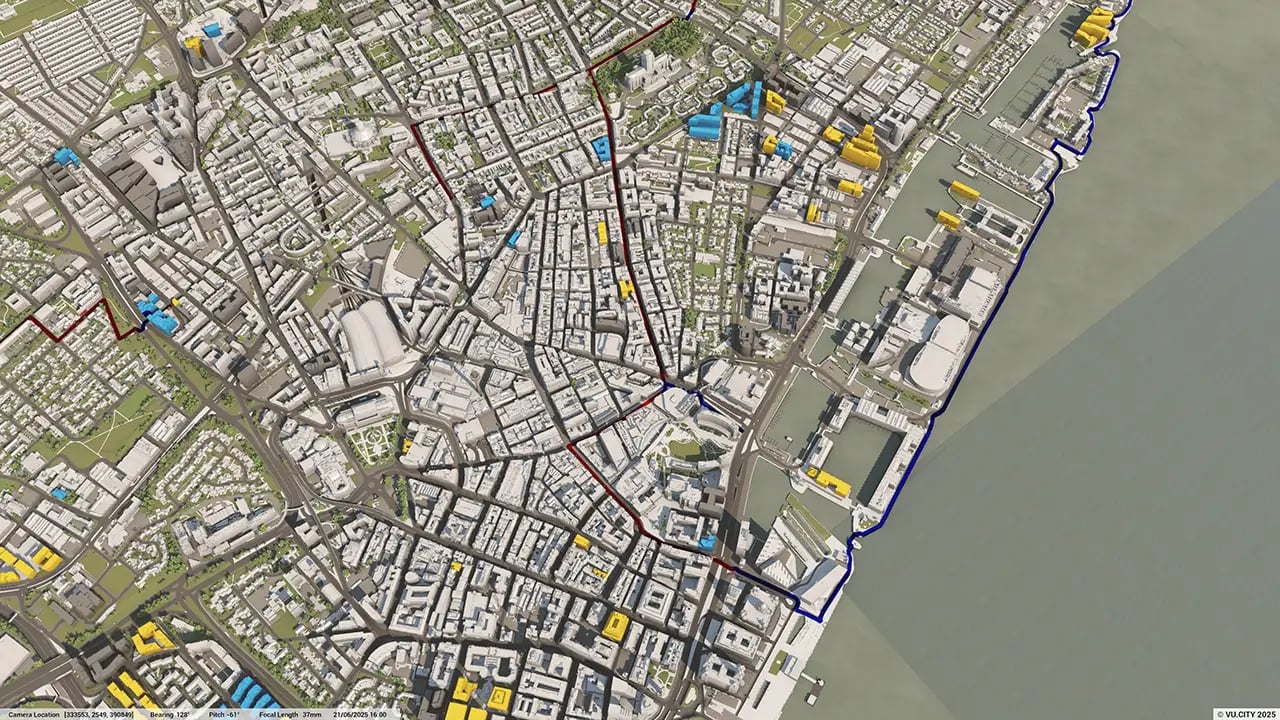
Liverpool 3D Model
Reduce unpredictable variables with our city of Liverpool 3D Model functionality. Rich data layers help minimise design and planning risks, highlight potential impacts, and accelerate key decision-making for projects.
With VU.CITY’s accurate and immersive 3D digital twin platform, all stakeholders can collaborate seamlessly, making smarter decisions and help increase planning success in the built environment.
-
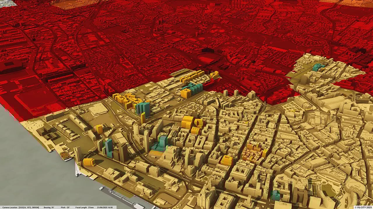
34DATA LAYERS
-
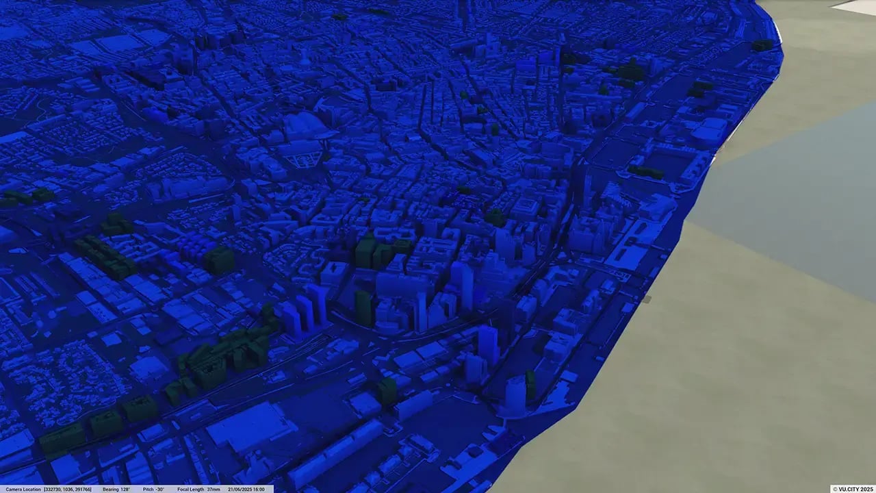
82 sq kmMODELLED TO 15CM ACCURACY
-
134Consents approved VU.CITY
-
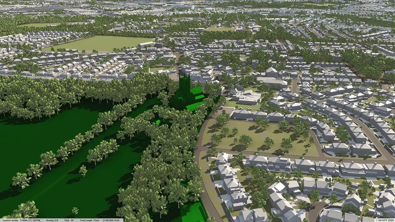
232,239TREES, ACCURATE HEIGHT AND CANOPY

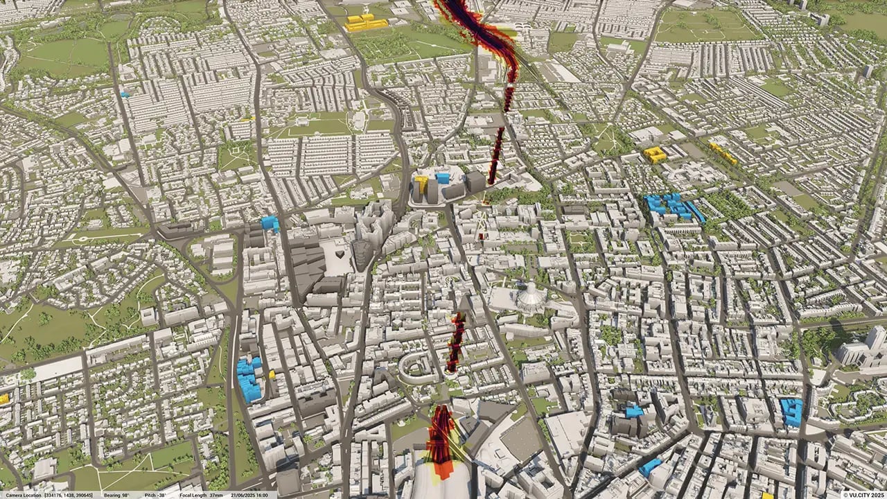
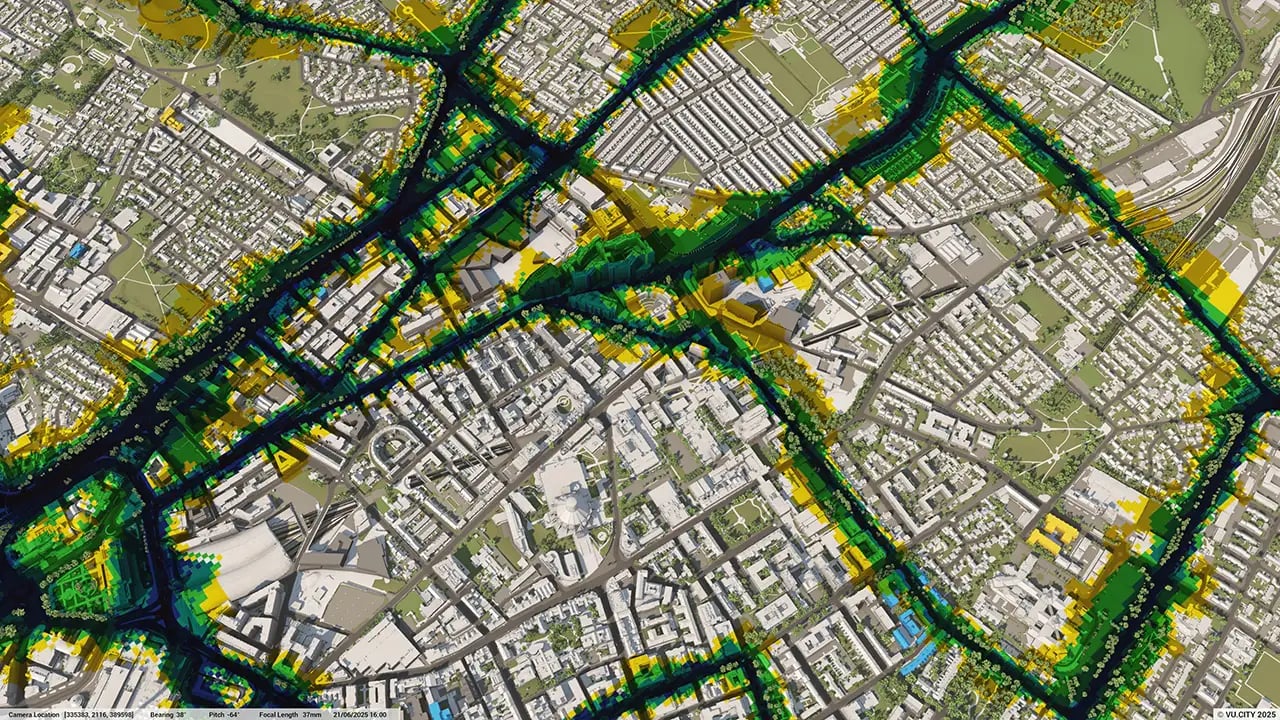
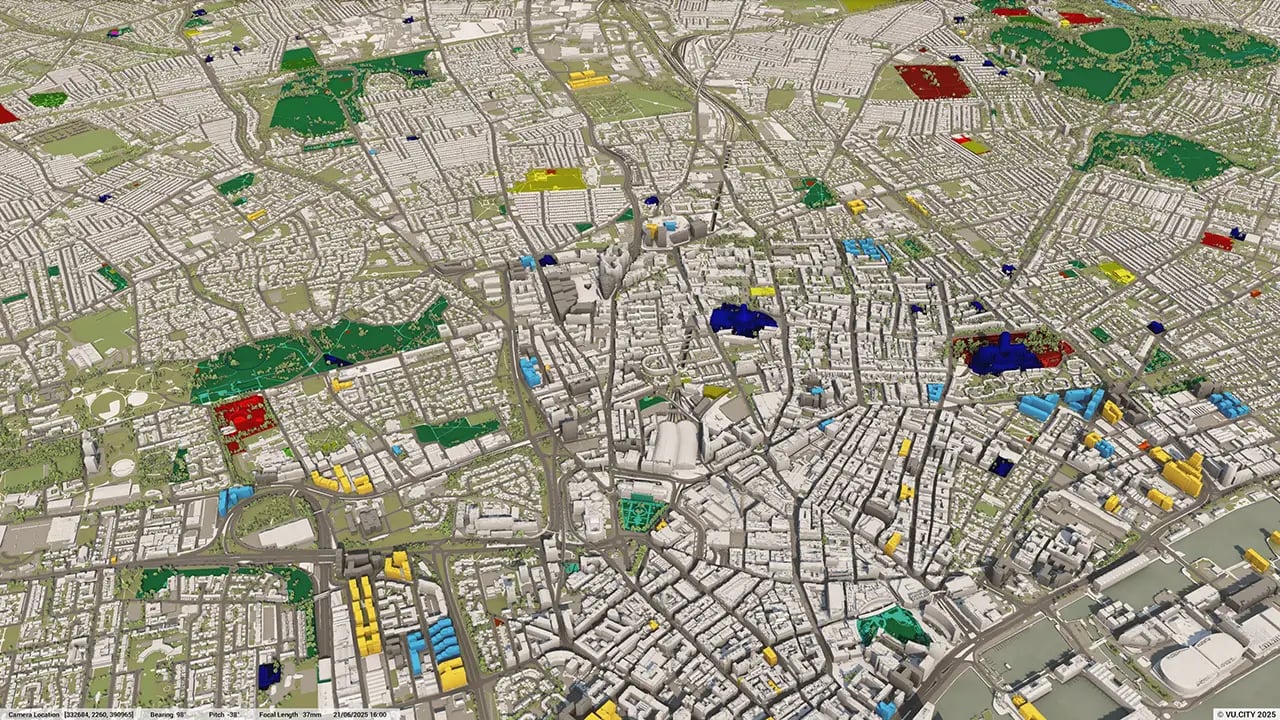
Liverpool data layers
From transportation and zoning to environmental factors, VU.CITY Liverpool 3D model data layers provide essential insights for more informed and confident decision-making.
.webp?width=1280&height=720&name=vucity-liverpool-data-layers-1_amenities%20eduction%20educational%20establishments(2).webp)
.webp?width=1280&height=720&name=vucity-liverpool-data-layers-5_census%20deprivation%20index(2).webp)
.webp?width=1280&height=720&name=vucity-liverpool-data-layers-6_population%20density(2).webp)
.webp?width=1280&height=720&name=vucity-liverpool-data-layers-12_spa(2).webp)
.webp?width=1280&height=720&name=vucity-liverpool-data-layers-13_sssi%20(2).webp)
.webp?width=1280&height=720&name=vucity-liverpool-data-layers-16_floodzone%203(2).webp)
.webp?width=1280&height=720&name=vucity-liverpool-data-layers-17_epc%20domestic(2).webp)
.webp?width=1280&height=720&name=vucity-liverpool-data-layers-18_epc%20non-domestic(2).webp)
.webp?width=1280&height=720&name=vucity-liverpool-data-layers-19_listed%20building%20points(3).webp)
.webp?width=1280&height=720&name=vucity-liverpool-data-layers-25_retail%20boundaries(2).webp)

Liverpool has an impressive cultural heritage, with magnificent buildings including two striking cathedrals and neoclassical St George's Hall. Its ongoing urban regeneration programme is transforming what was once a dilapidated city centre into one of northern England’s most pleasant cities. The future of the Liverpool City Region is full of excitement: a region worth £23bn annually to UK PLC with an array of forthcoming billion-pound regeneration schemes and multi-million-pound development initiatives.
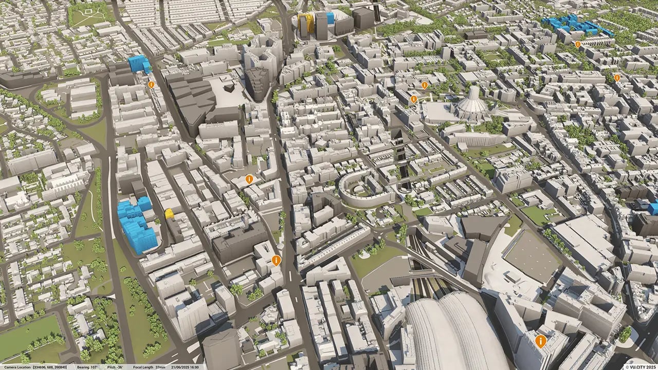
Digitisation of planning and design will be crucial to proposals becoming a reality. By using VU.CITY, architects and developers can easily view the feasibility of a proposed project in context and understand the visual impact on Liverpool’s listed buildings early on.
The regeneration is also the opportunity to enable open discussion and collaboration on some of the most exciting schemes in the North West built environment. VU.CITY enables architects, planners and developers to make presentations and reports of exceptional clarity with multiple high quality images to increase understanding, support and buy-in by clients and local planning officers.
Architects, planners and developers use VU.CITY Liverpool to address fundamental questions around planning and development. Our 3D model of Liverpool helps every party involved to organise, visualise and analyse city data in the clearest and most accessible way to get the right answers to make the best decisions.
Trusted by 6,000+ users across 26 cities
Architects, developers, local authorities, urban planners, and more trust VU.CITY to help achieve their goals.
Organise and visualise your geospatial data in accurate context with our comprehensive suite of digital design and development tools.
VU.CITY Liverpool: 3D Model Features and Planning Tools


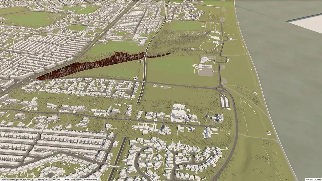
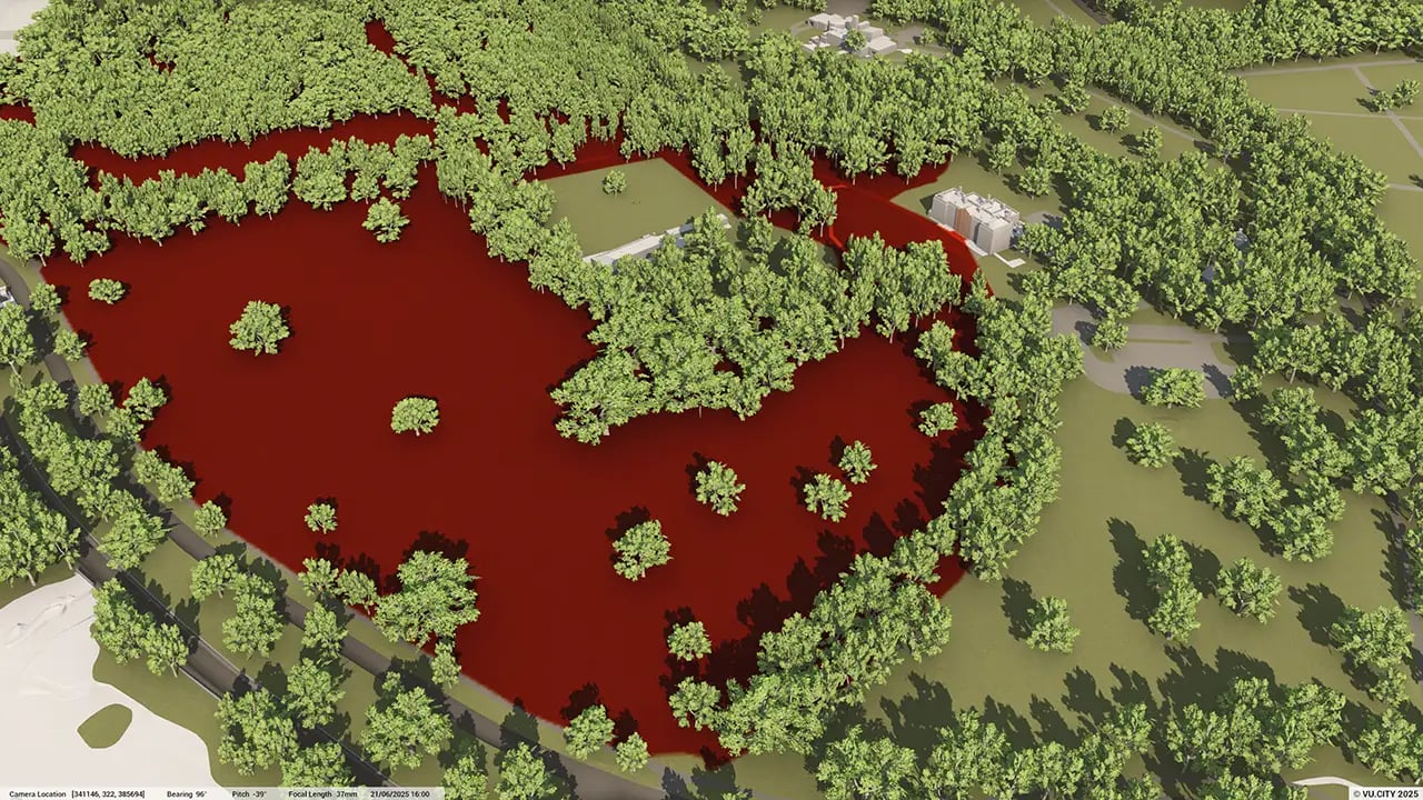
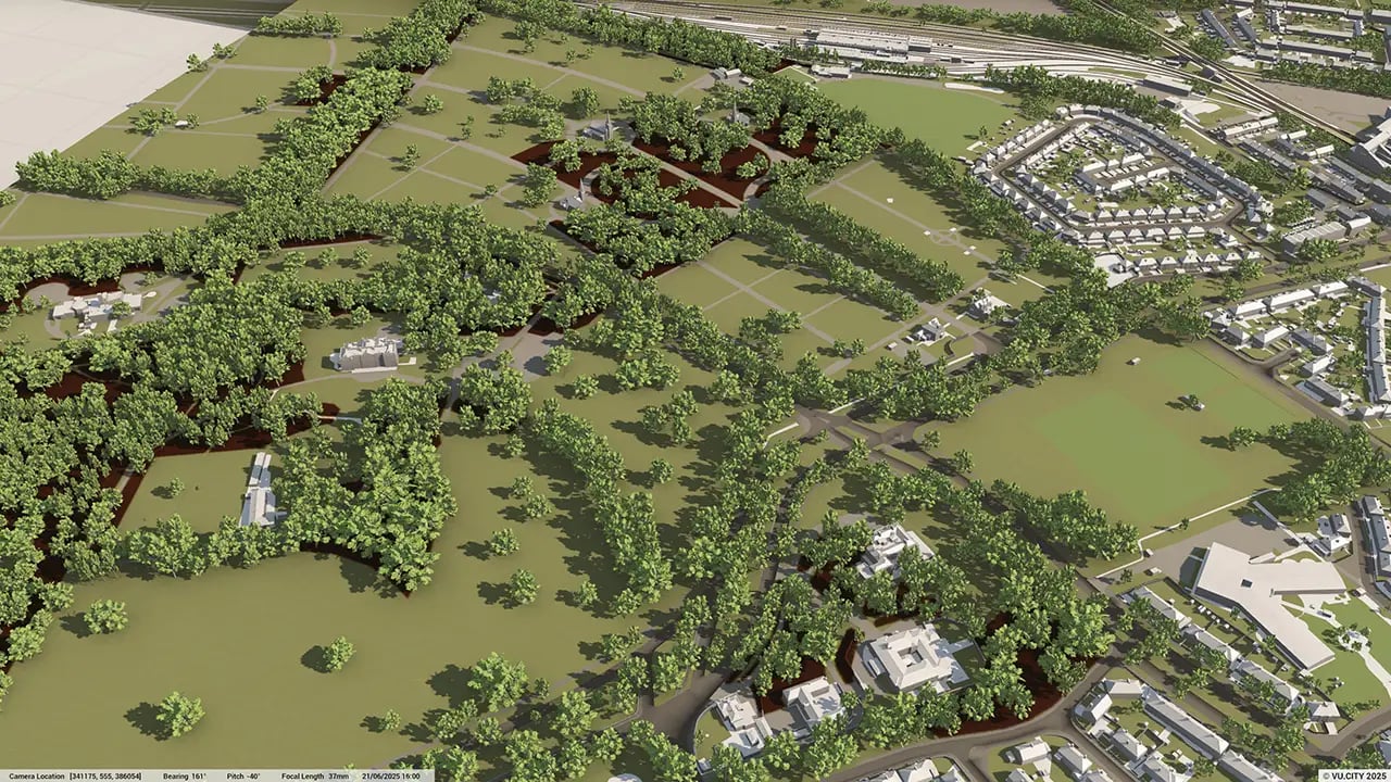
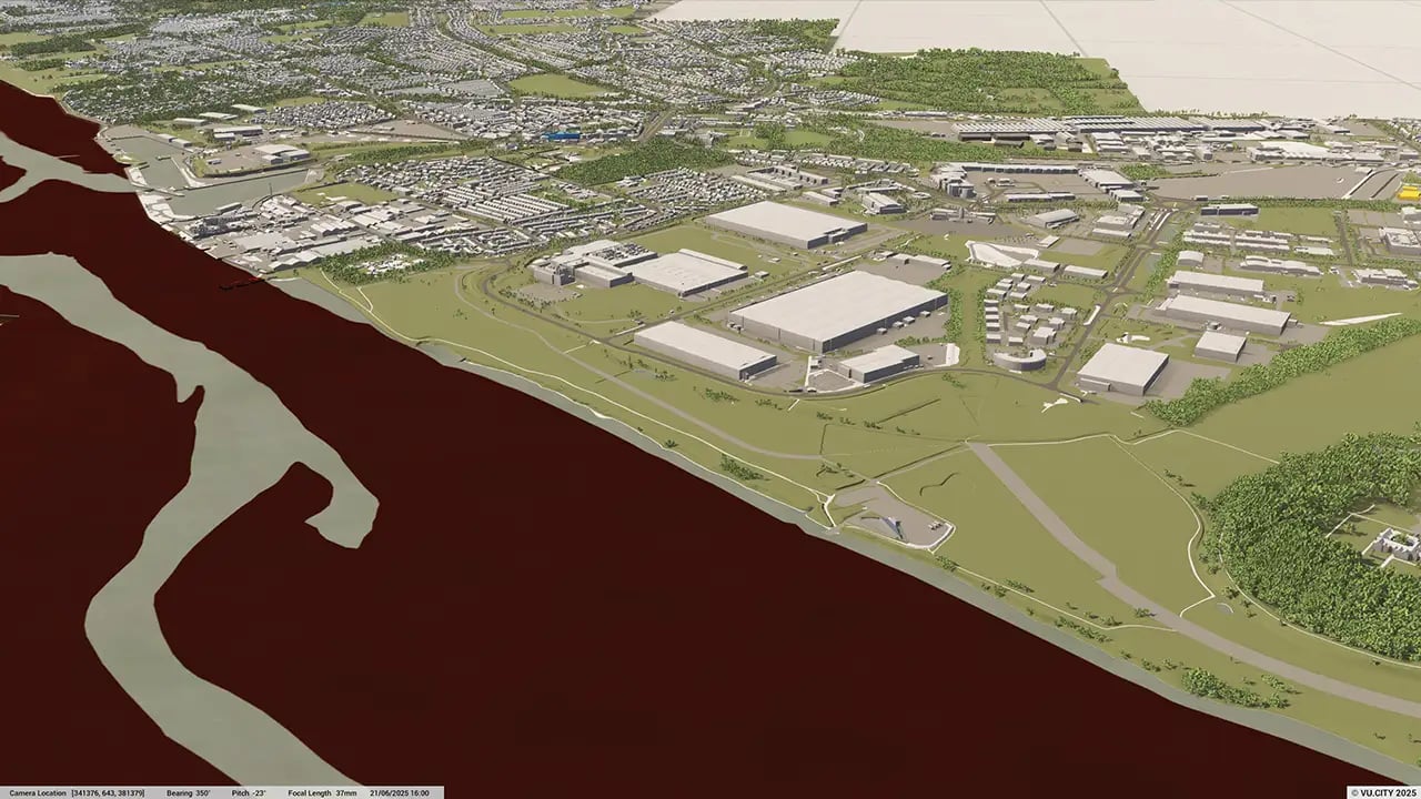
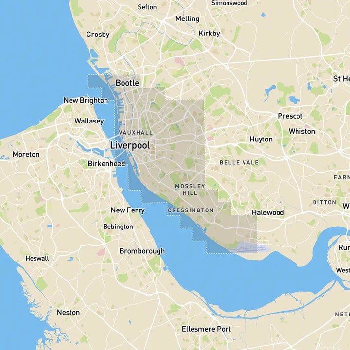
Liverpool 3D tile coverage
Whether you’re focusing on a single neighbourhood or the entire cityscape, VU.CITY provides full coverage with unmatched precision.
VU.CITY Liverpool FAQs
Here are some frequently asked questions about VU.CITY's Liverpool 3D Digital Twin and Model.
What is VU.CITY Liverpool, and how does it assist with city planning?
VU.CITY Liverpool is a 3D digital model that aids city planners, developers, and architects in visualising projects within Liverpool’s urban landscape. It supports informed decision-making and enhances planning accuracy for new developments.
How can VU.CITY Liverpool streamline the planning application process?
By providing a realistic 3D model of Liverpool, VU.CITY simplifies the planning process, allowing stakeholders to view proposed developments in context and meet local authority requirements with greater precision.
What data layers are available in VU.CITY Liverpool for planning and analysis?
VU.CITY Liverpool includes essential data layers like building heights, land use, conservation areas, transportation routes, and environmental zones, supporting planners with crucial insights for city planning and development.
How does VU.CITY Liverpool support sustainable urban development?
VU.CITY Liverpool enables users to assess environmental impacts and plan sustainable developments by visualising green spaces, reducing carbon footprints, and aligning with Liverpool’s sustainability goals.
How can 3D modelling in VU.CITY Liverpool improve public engagement for new developments?
The 3D model makes it easier to present new projects to the public, offering a clear visualisation that fosters transparency and encourages feedback, which is essential for community-supported urban development.
Explore digital 3D geospatial solutions for the built environment
VU.CITY provides clear, powerful tools for key decision-makers across the built environment, helping them visualise and shape the future of cities with confidence and precision.
Make smarter decisions with data-driven insights, from infrastructure to sustainability.
Unlock the power of Generative AI for optimal design and streamlined decision-making.
Bring your designs to 3D life with state-of-the-art modelling tools.
Collaborate seamlessly across studies, planning, and design.
Utilise advanced 3D models and a data-driven approach with our flexible ZTV service.
Bring Your Vision to Life with a 3D Flythrough Video.
26 UK & International Cities
Over 3,000+ sq km accurate to 15cm | Tools to scope, create & collaborate on designs
Shape Tomorrow’s Cities, Today.
Begin Your Free Trial Now.
