




.svg)

.svg)
.svg)
.svg)

.svg)
.svg)


.svg)


.svg)
.svg)
.svg)

.svg)


.svg)
.svg)

.jpg?width=7649&height=4208&name=Final%20Blog%20Post%20Headline%20(1).jpg)
).png?width=256&height=256&name=Untitled%20(Meme%20(Square)).png)
"Clear policy does not end the conversation on tall buildings. It changes what planning discussions are about, and that is a welcome improvement.
The Mayor published the draft London Plan on 16 July 2026, with consultation running until 5pm on 15 October 2026. What follows is my own reading of the draft, not a formal position, and I’d encourage anyone with a stake in this to read the full document and form their own view.
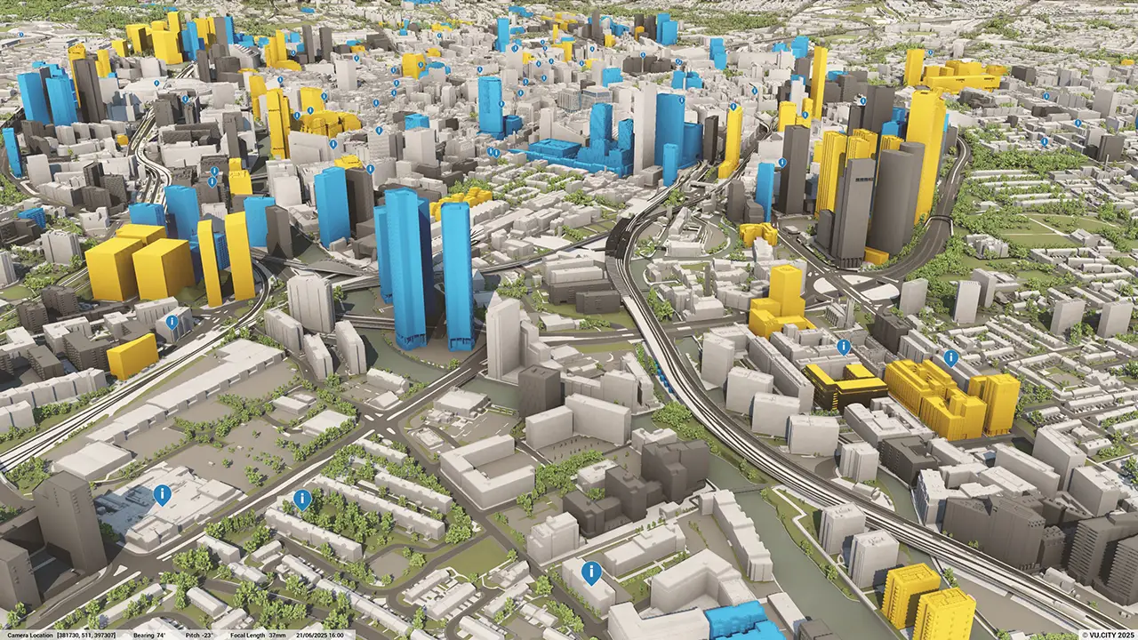
It is roughly half the length of the adopted 2021 Plan and considerably more prescriptive. On very tall buildings, it moves from local discretion towards a mapped, city-wide framework: Seventeen Strategic Tall Building Clusters, with metropolitan tall buildings of 100 metres and above expected to be concentrated within them.
Every architect preparing a planning application has had the same quiet moment of dread: the massing model looks fine in isolation, but nobody can say how it sits in the actual streetscape until submission day. That gap between the scheme on screen and the scheme in context is where the expensive surprises live.
With an up-to-date policy that passes without major challenges, planning arguments are about whether a scheme complies. Without that policy, arguments are about what compliance even means, and whose reading of today’s housing need or business capacity wins out.
The first is a straightforward policy interpretation, conducted on the authority's own evidence base, at a cost the authority can forecast. It has a shape. It ends.
The second is an open question, and open questions are decided by whoever can afford the better advocate. If there is no up-to-date policy reflecting current area needs, the authority is left defending weak positions. The cost is unknowable until the bill arrives, then at inquiry that bill is unrecoverable, whether the authority wins or loses.
Where the cost actually lands
There is a persistent assumption in local government that a lack of published position is a form of defence. If nothing is committed to paper, nothing can be held against you. In practice the absence lands local planning authorities in three places:
- Overspend of Public money: Inquiry costs are unrecoverable and for a smaller authority, material
- Increased Officer time and capacity: Time spent constructing a position after an application arrives is time not spent on determination, pre-application engagement.
- Loss of Public trust: When residents are asked to accept a scheme, on the strength of promises they cannot verify, they will reject it. Reasonably so. Without a policy baseline, they have no independent standard to hold the scheme against
Why a common framework became the only option
Policy D9 of the London Plan (2021) left all the decisions about what their tall building definition was set at and where super tall building locations can be to the boroughs. The intent was sound: A city of villages, each retaining its own character, rather than a single standard imposed from City Hall. However MBUL3 seeks to set a common framework which LPAs should work to. This includes defining what a tall building is in the draft Plan and then also setting out where the metropolitan scale tall buildings clusters are.
To help boroughs put that into practice, we ran a series of videos and in-person events explaining the policy to urban designers within planning authorities across London. Even so, given the lengthy time it takes to adopt a local plan, there are still some that have not adopted local tall building locations since the London Plan 2021 was published.
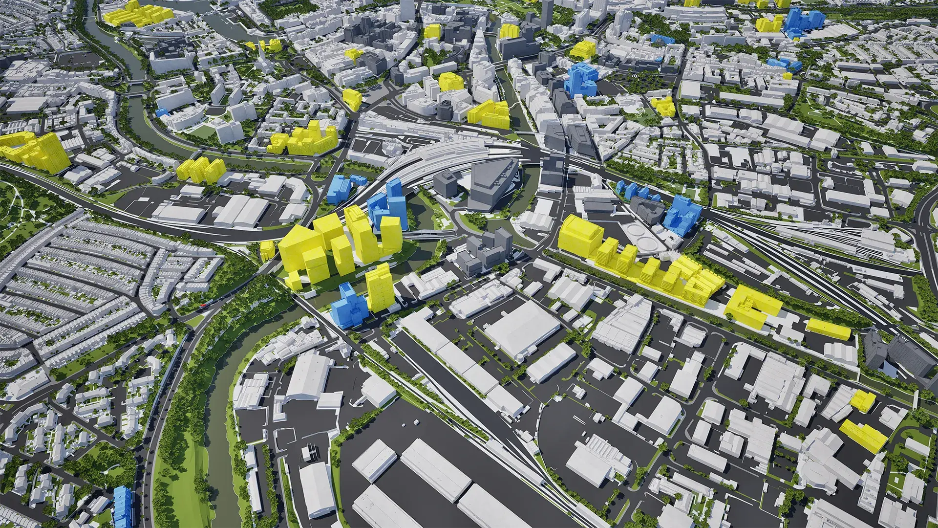
I supported a handful of boroughs in their Tall Building Studies. Where a borough did not define its position, applicants defined it for them, one application at a time. The London Draft Plan's response is to set the spatial framework centrally and reduce the room for that to happen.
This is my reading of the draft rather than a definitive account of it. Anyone acting on it should read the document and take their own advice.
The spreadsheet objection
A fair concern raised about the streamlined draft is that it replaces design-led development with a numerical exercise. Hit the density figure, hit the affordable percentage, then the design conversation is over.
That is not what the draft does, on my reading of it. The numbers are a baseline, not a determination. A scheme still has to demonstrate design quality, while identifying and justifying its harms.
What the baseline establishes is a shared starting point, so that the design conversation begins from an agreed set of facts, rather than from a dispute about whose facts to use.
The work my team did on the tall buildings ‘Contours’ policy for the City of London shows what a shared starting point looks like in practice.
The City of London instructed us to shape a framework of ‘Contours’ around heritage, to help understand what was acceptable and how development should behave within and around it.The output was did not flatten the design. Heritage was protected, good development was invited and architectural freedom survived the process. This is because the ongoing negotiations are happening in public, at the plan-making stage, rather than repeatedly and privately across individual applications.
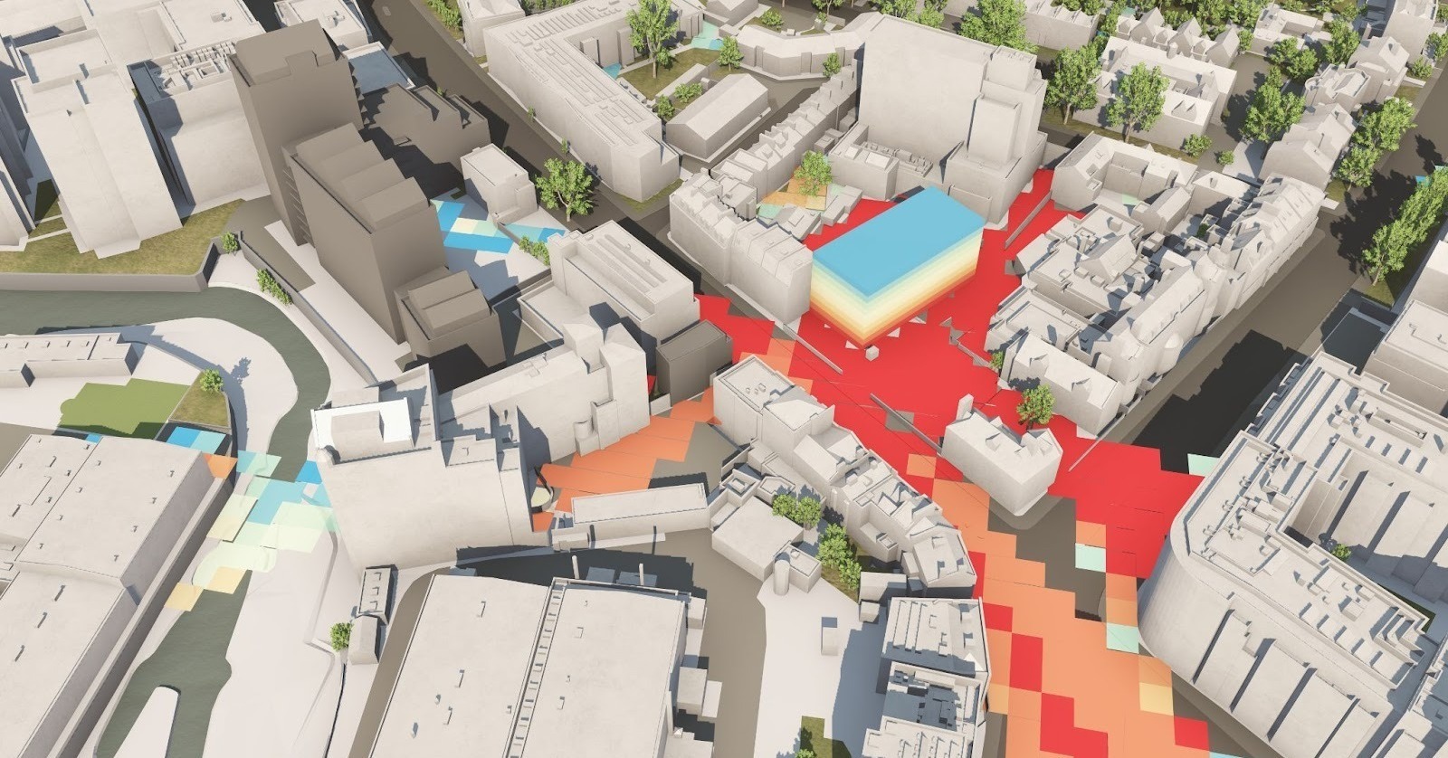
The Contours approach also solves a problem that continually analysing singular towers cannot: Cumulative overshadowing.
A single-application view of height never asks what a cluster looks like as a whole, only what one building adds to it. Contours forced that conversation early: Should a cluster have a clear angular peak, or behave more like a rounder mould? Should London aim for clusters with defined peaks, or a skyline dotted with skinny towers, closer to New York?
These are questions worth deciding at once, at the plan-making stage, rather than building by building.
That is the investment few authorities are prepared to make. The reactive alternative is more expensive, and the expense is simply deferred.
What this means for applicants
Three takeaways are worth drawing out, because they change how submissions should be prepared:
- 3D modelling supports both sides of the process: The draft Plan recognises 3D modelling as a tool for plan-making authorities and applicants alike, useful when locations and clusters are first being defined, then again when individual proposals are tested against them
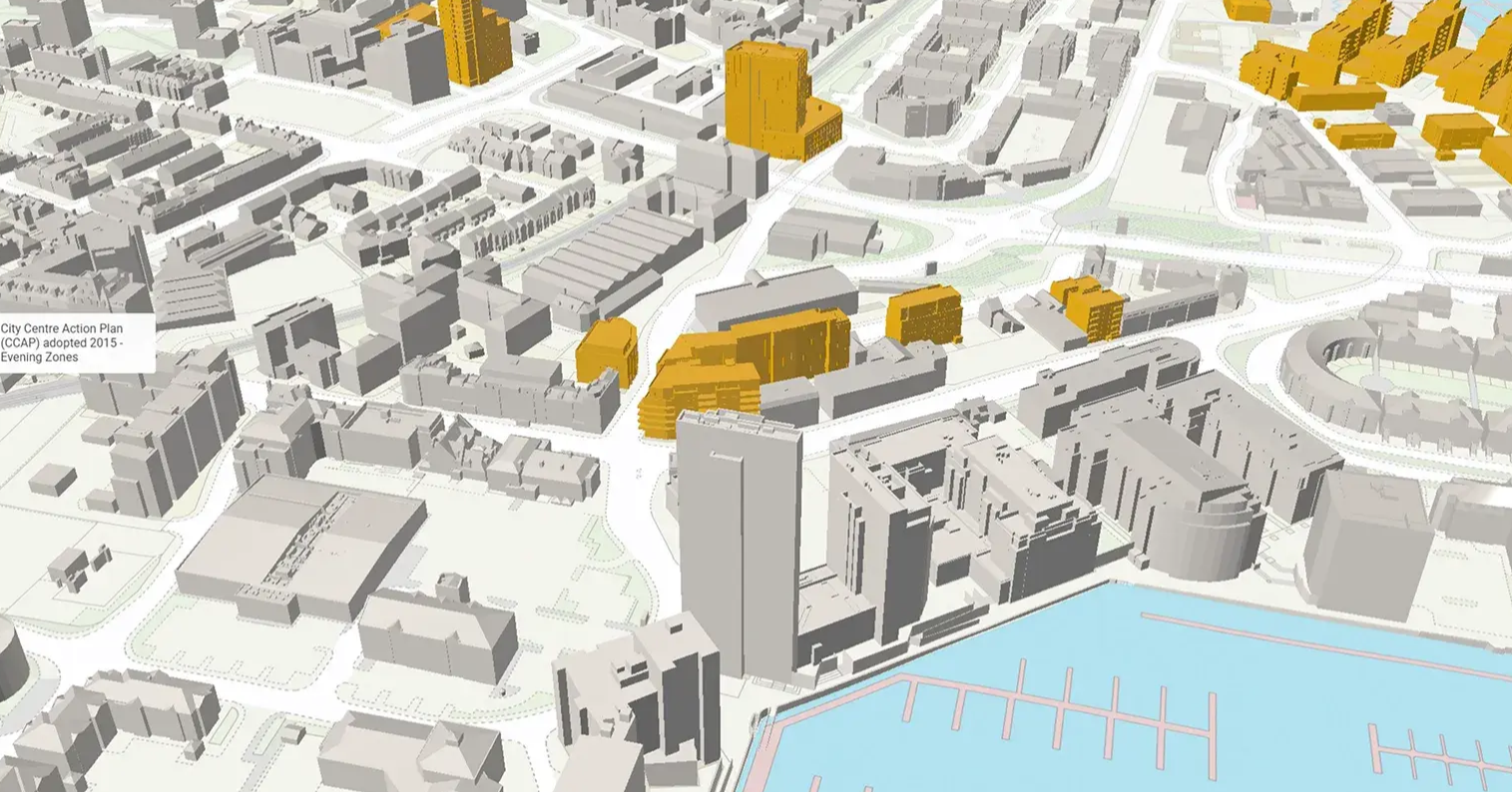
- Format is not a detail: When an authority needs technical information to assess a proposal, the process can be faster, easier and less confrontational when that information is provided in an agreed format - a 3D model meets these needs. Boroughs including Enfield and the City of London, plus many more, already require model submission at pre-application stage or under a Planning Performance Agreement.
- Independent testing follows from both: A proposed massing supplied in an agreed format could, in principle, be tested by an authority in its own city-wide model, rather than relying solely on the applicant’s own visualisation of a scheme. This provides transparency to all sides, including citizens
With all the above met, agreements can be stuck with concrete precedence. Grey areas become more black and white, arguments become discussions, and stakeholders on all sides benefit.
Christopher is a specialist in helping local authorities maximise the use of our 3D city models and tools to shape planning policy, manage applications and translate regeneration ideas into concrete strategies. Get in touch with us to connect with Christopher.
Sources: draft London Plan (GLA, 16 July 2026); London Plan (GLA, 2021), Policy D9.

VU.CITY Case Studies
See how leading built environment experts are using VU.CITY
Shape Tomorrow’s Cities, Today.
Begin Your Free Trial Now.