Background
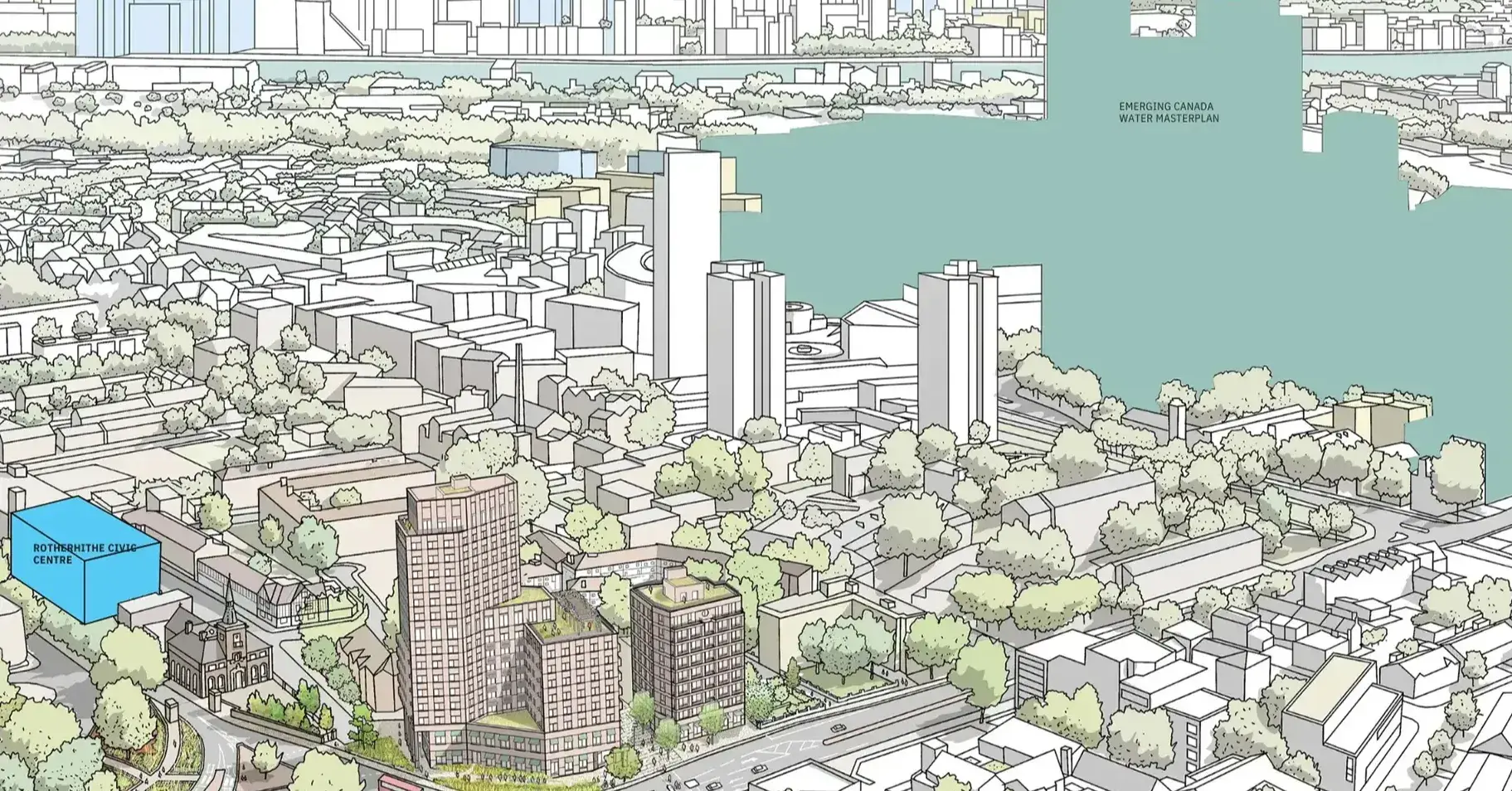
The City of London is synonymous with iconic architecture, from the enduring grandeur of St. Paul’s Cathedral to the cutting-edge design of the city cluster. Yet, balancing heritage preservation with the need for modern high-rise developments poses significant challenges for planners, architects, and developers. To address these complexities, the City of London Corporation has turned to VU.CITY's 3D city modelling platform to shape its new height policy ‘Contours’ for the City Cluster, a critical component of the City Plan 2040.
Challenge: Balancing Growth with Heritage
The City of London Corporation faced the dual challenge of accommodating 1.2 million square metres of additional office space while preserving the visibility of London’s historic landmarks like St. Paul’s Cathedral, the Tower of London, and The Monument. Until recently, height policies were informal, relying on qualitative assessments and generic zoning for tall buildings. This approach lacked precision, leading to inefficiencies and contention over new developments.
Solution: A Contour Line Policy with VU.CITY
Using VU.CITY’s 3D city model, the City of London Corporation developed a comprehensive height strategy for the City Cluster. Through contour lines—precise 2D height guidelines overlaid on the 3D model—planners could define maximum building heights based on constraints such as landmark sightlines and heritage conservation.
The tool enabled:
- Strategic Visioning: Visualising the impact of proposed developments on protected views, including the London View Management Framework (LVMF).
- Data-Driven Planning: Incorporating height restrictions and clustering parameters to guide sustainable growth.
- Stakeholder Engagement: Offering developers, architects, and planners a unified visualisation to foster collaboration and reduce subjectivity in decision-making.
Impact: Redefining London’s Skyline
The contour line policy has already improved the planning process by creating clear, quantifiable criteria for tall buildings in the City Cluster.
Highlights include:
- Protecting Heritage: Ensuring new developments do not compromise views of St. Paul’s or the Tower of London.
- Maximising Land Use: Enabling the City to optimise office space while maintaining its status as a global financial hub.
- Promoting Design Excellence: Setting a framework that encourages innovative architecture within defined parameters.
Conclusion
The collaboration between VU.CITY and the City of London Corporation exemplifies how technology can bridge the gap between heritage and modernity. By leveraging digital tools, local authorities can make data-driven decisions that balance preservation with innovation, setting a blueprint for urban planning worldwide.

-1.png)

-1-1.png)