
Southampton 3D Model
Reduce uncertainty with our Southampton 3D Model. Tap into comprehensive data layers to minimise planning risks, anticipate potential impacts, and speed up critical decisions.
With VU.CITY’s precise and immersive Southampton digital twin platform, teams collaborate effortlessly, driving smarter outcomes and boosting planning success.
-
36DATA LAYERS
-
25.56 sq kmMODELLED TO 15CM ACCURACY
-
66Consents approved VU.CITY
-
52,959TREES, ACCURATE HEIGHT AND CANOPY

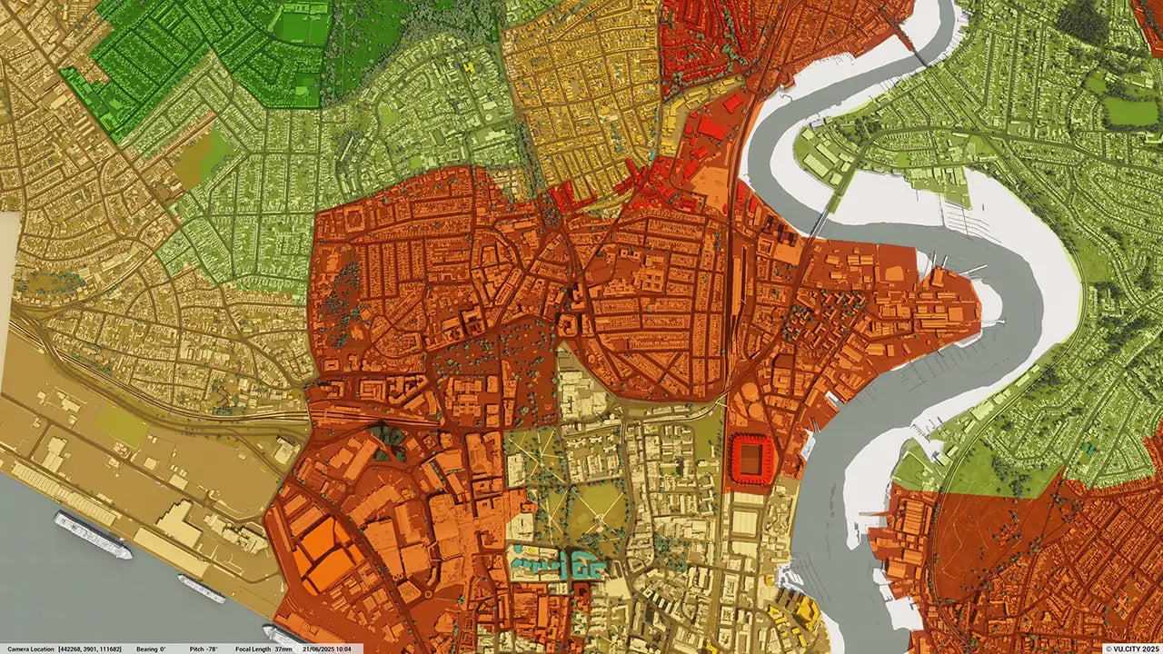
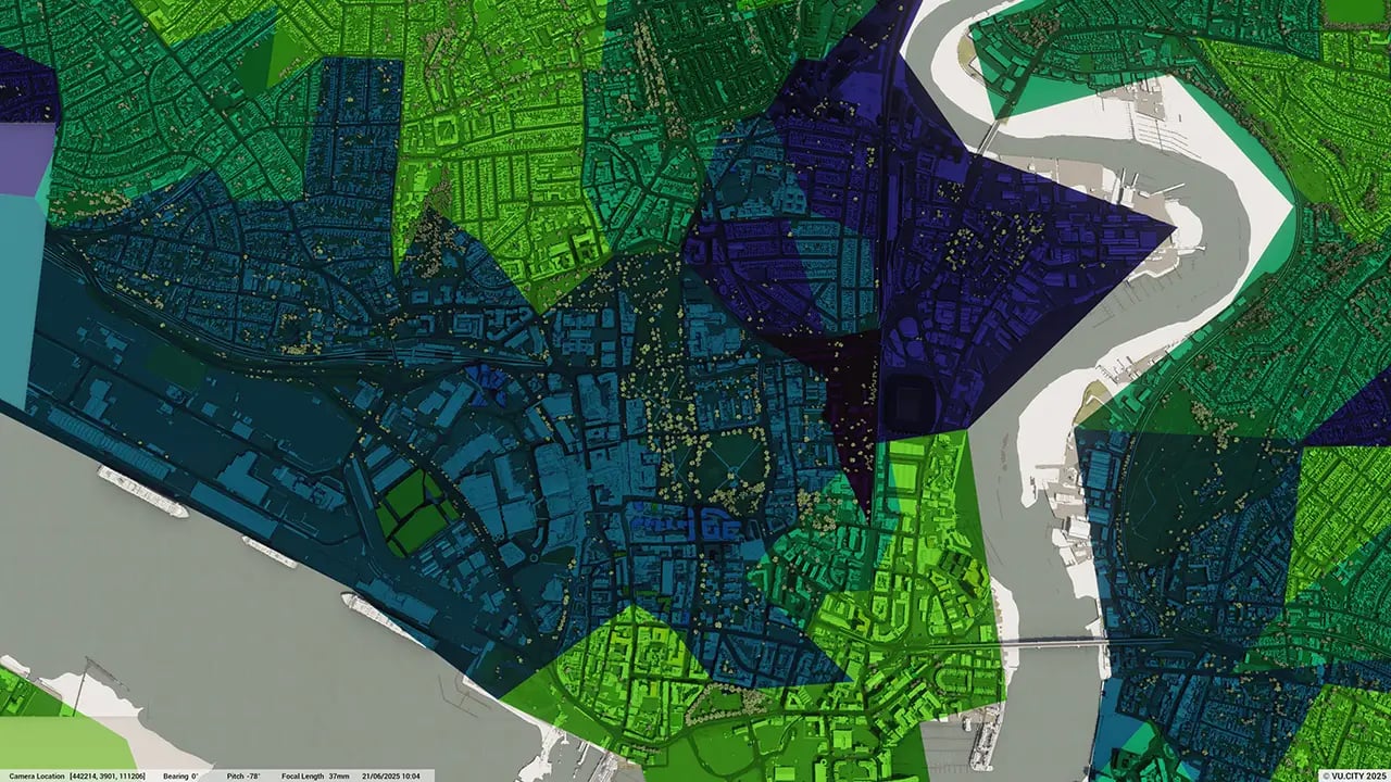
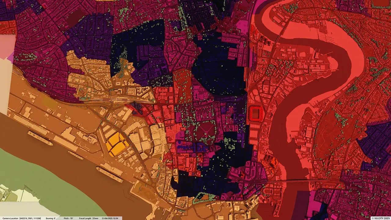
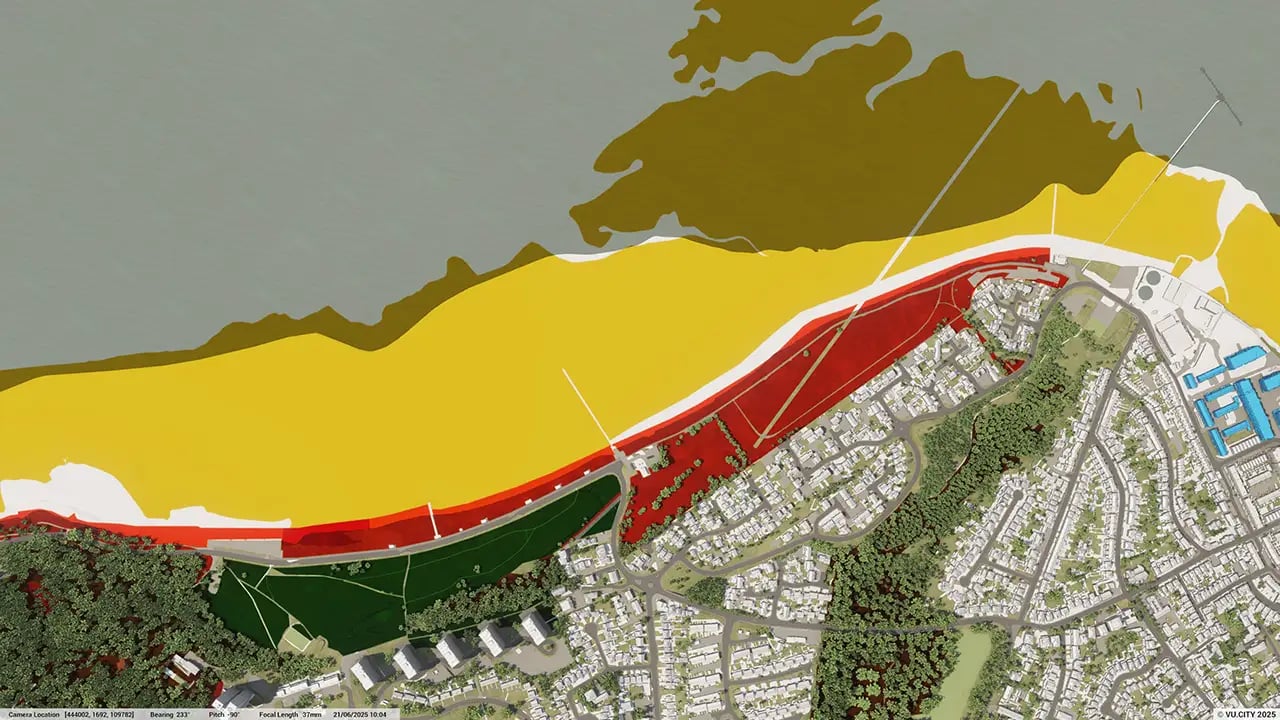
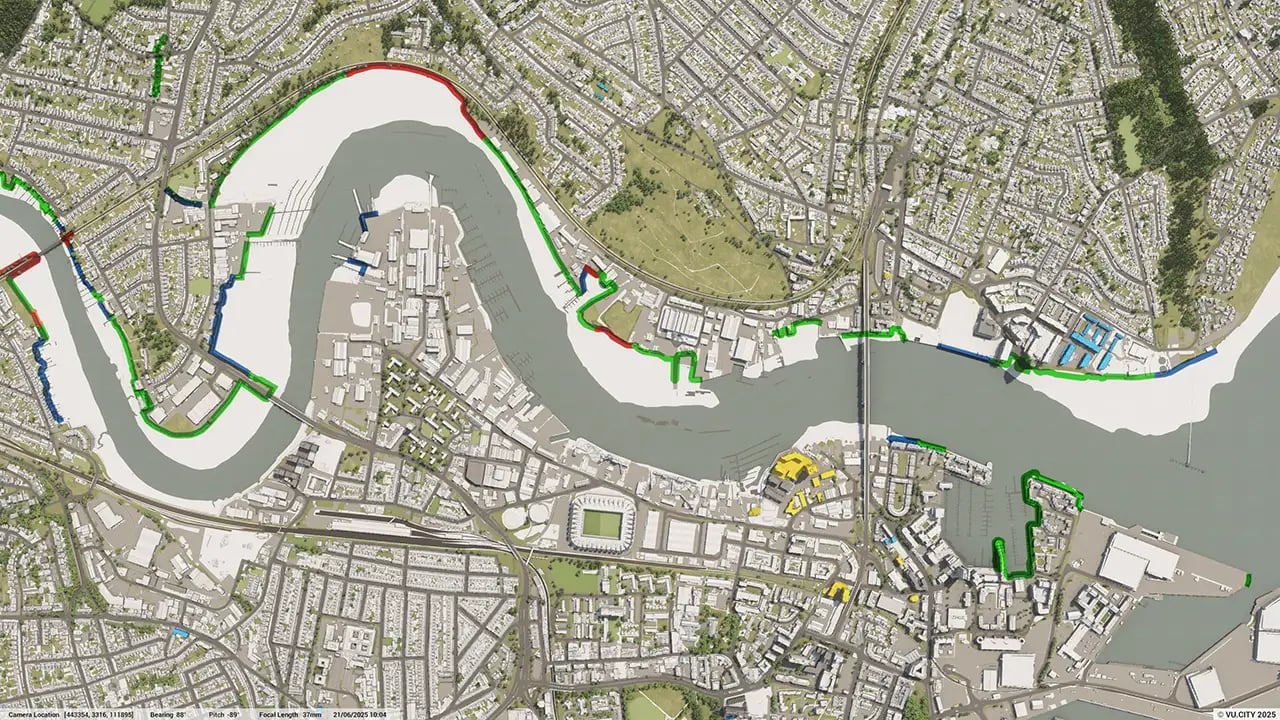
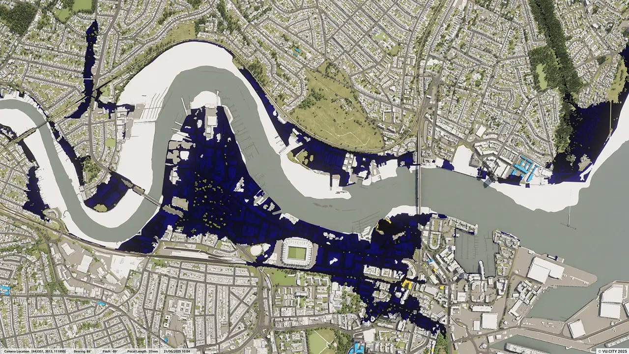
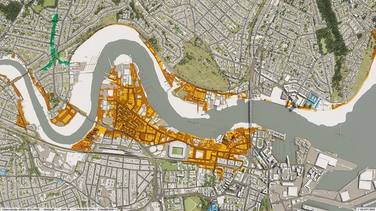
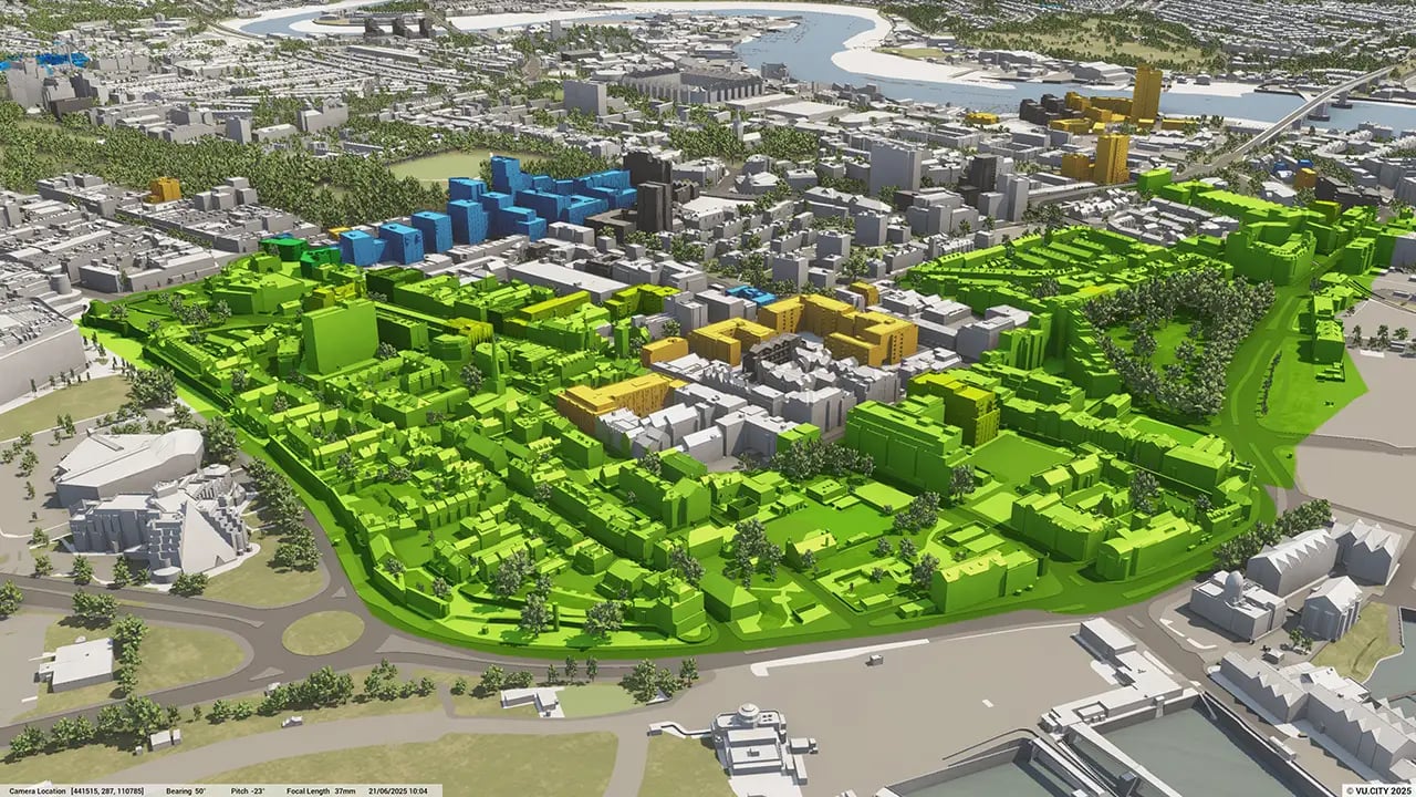
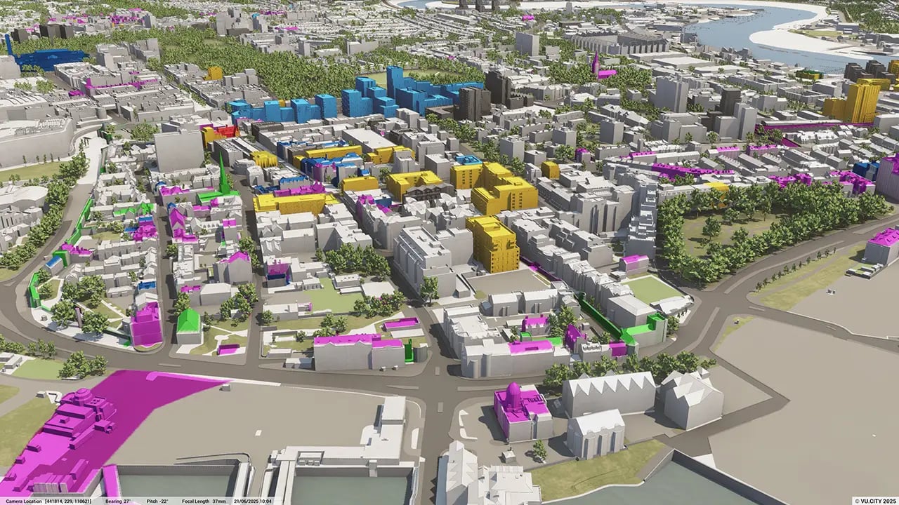
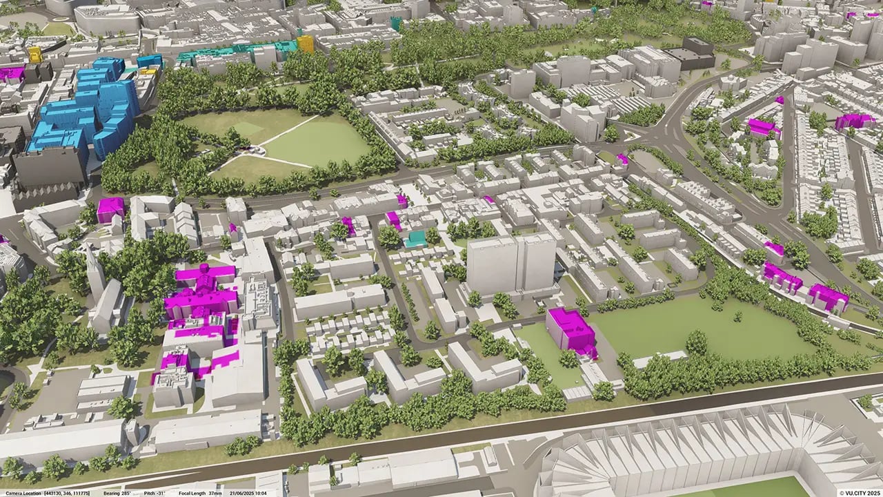
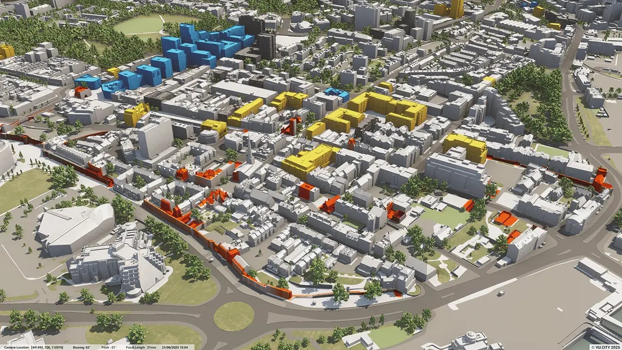
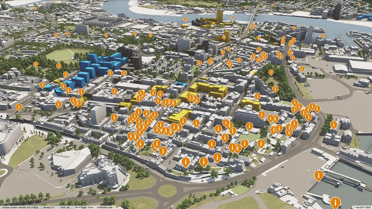
Southampton data layers
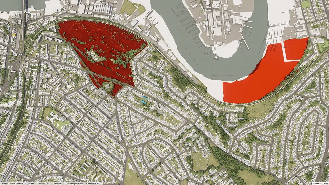
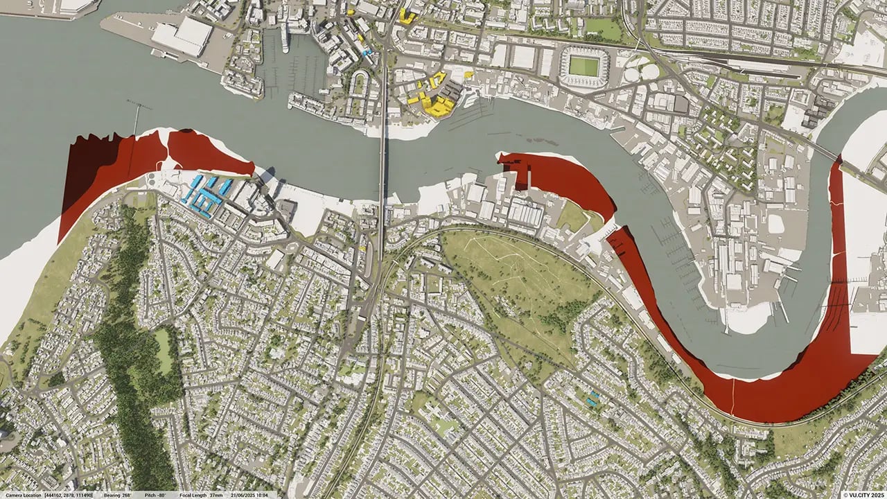
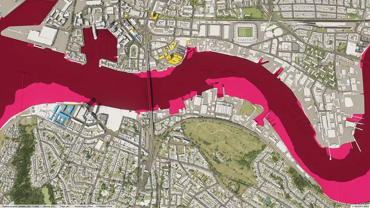
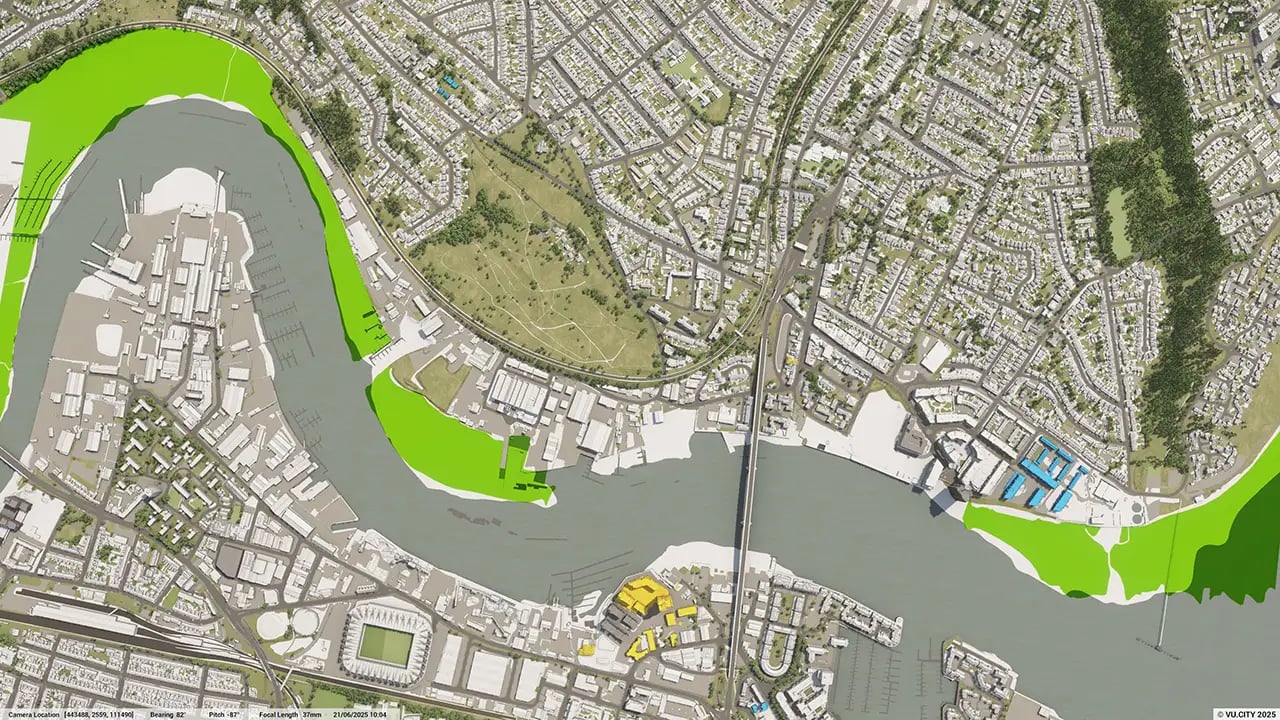
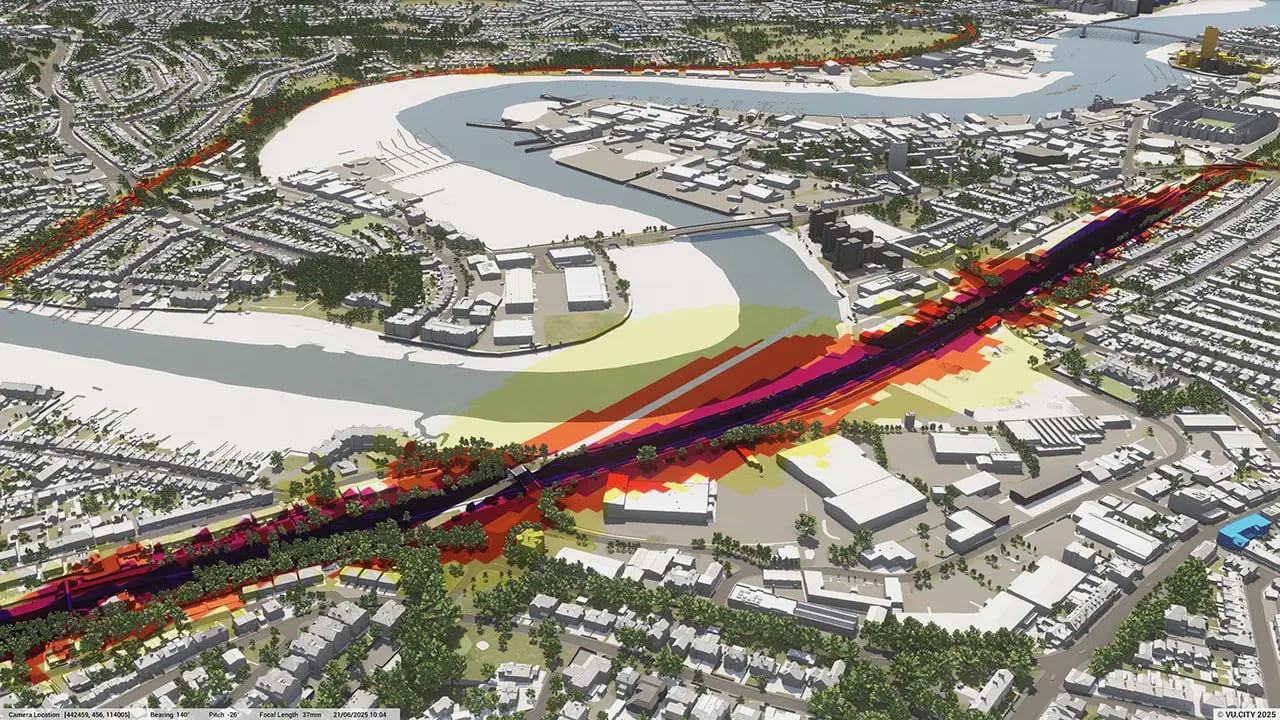
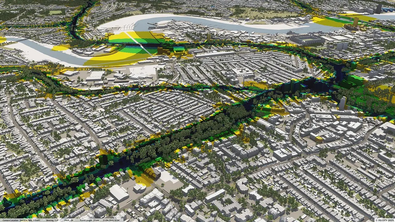
From transportation and zoning to environmental factors, VU.CITY Southampton 3D model data layers provide essential insights for more informed and confident decision-making.
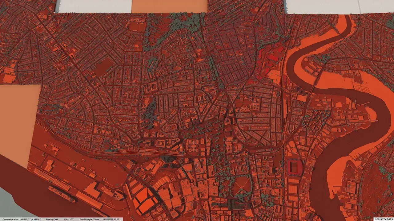

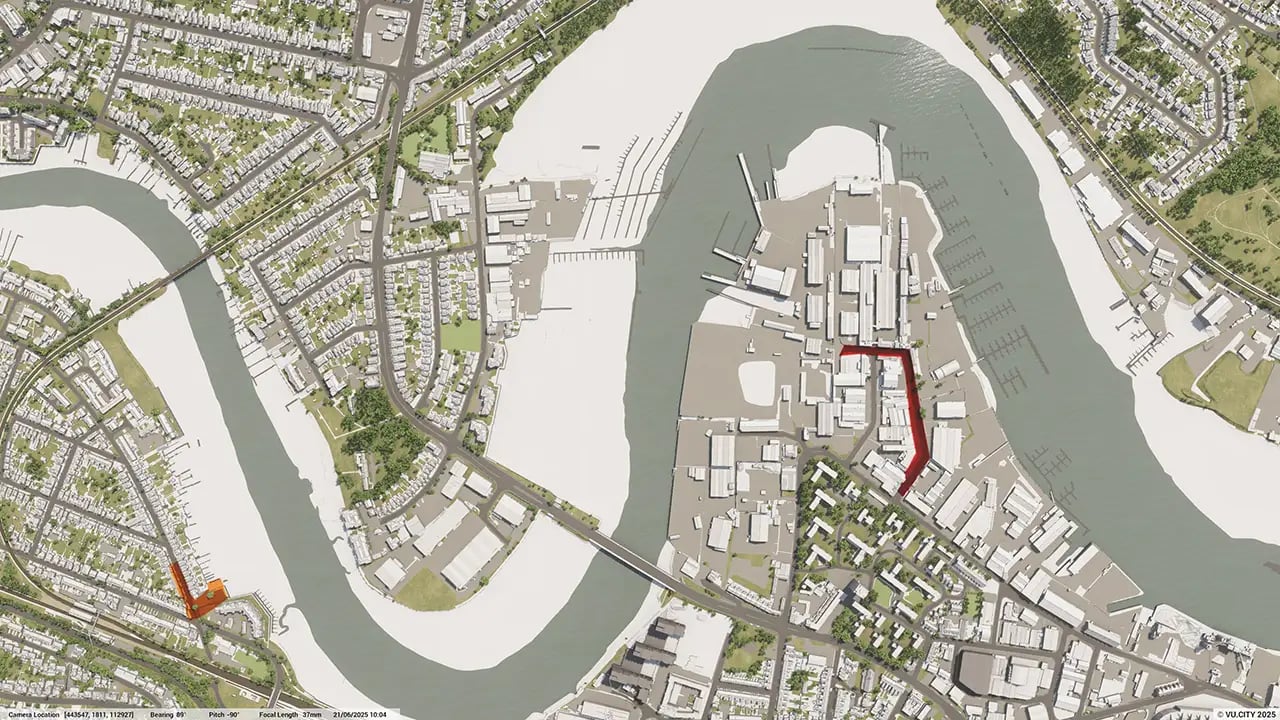
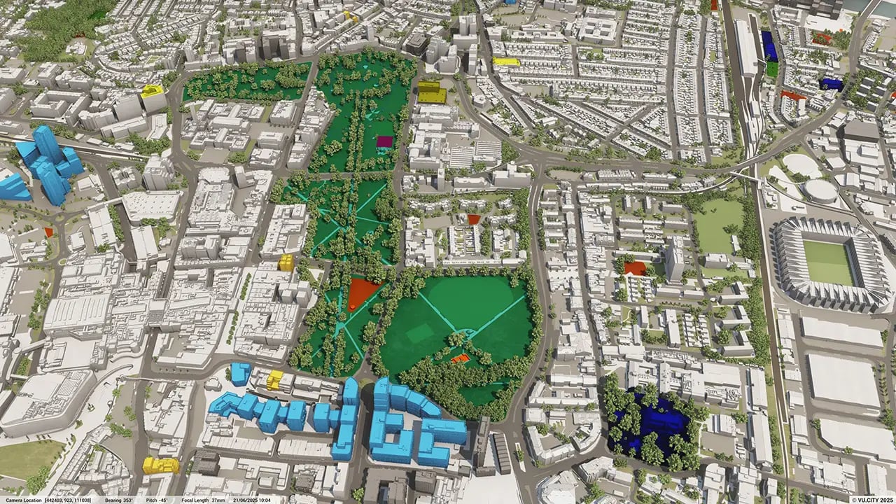

Southampton, the third biggest city in the South East outside of London, has a rich and varied townscape that has evolved through the centuries.
Much of the city was destroyed during WWII and later restored in the 1950s and 1990s. Strategically, it is located in the heart of the South Coast, and the city's built environment is heavily influenced by its maritime heritage, as is the Port of Southampton, which serves as a regional transportation centre.
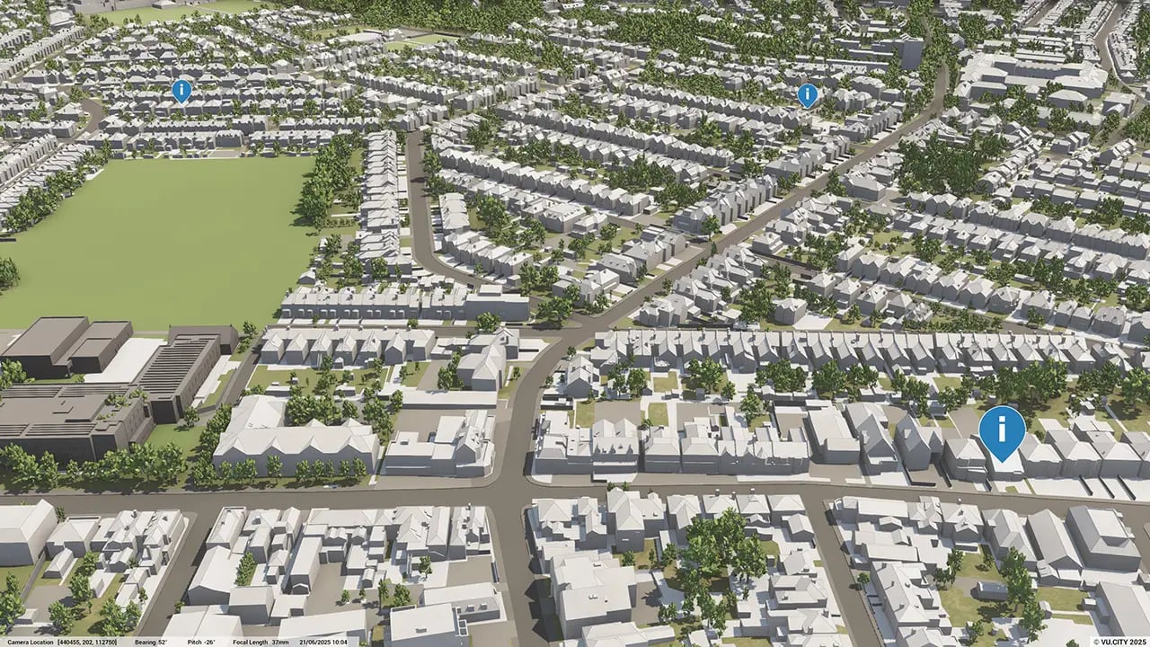
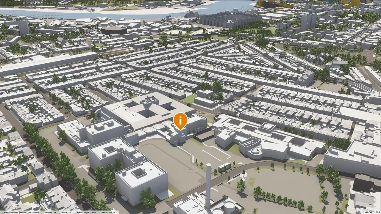
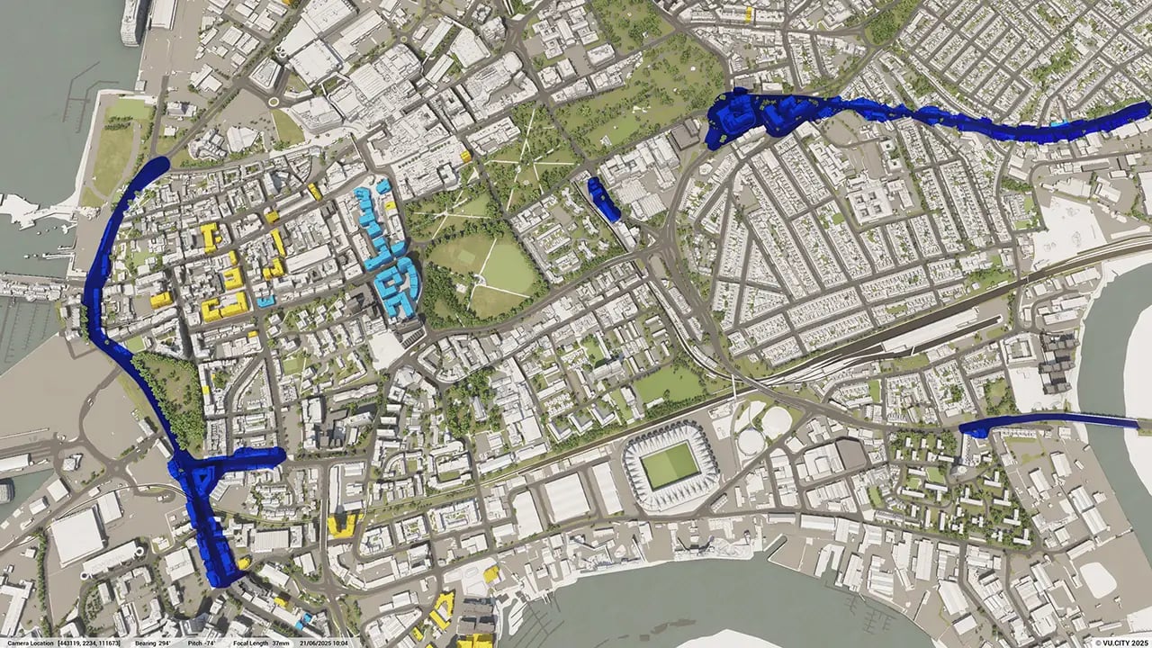
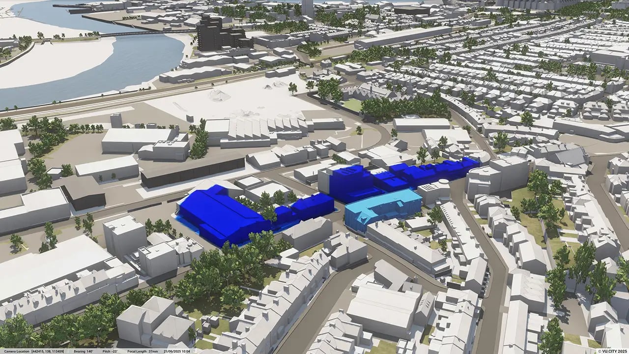
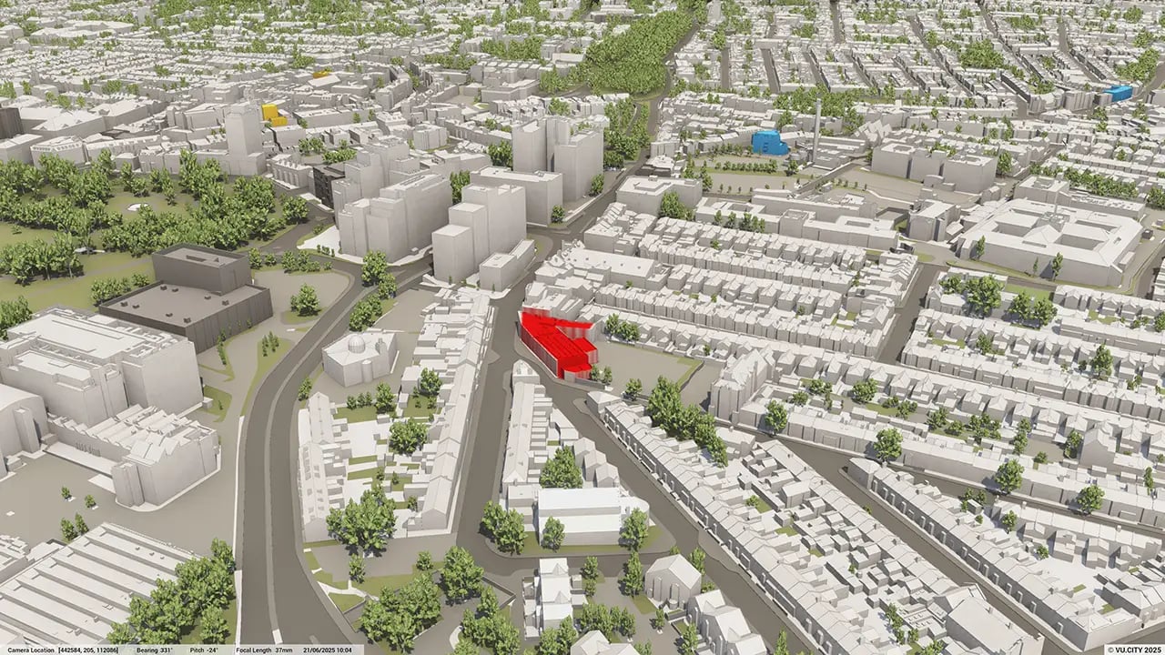
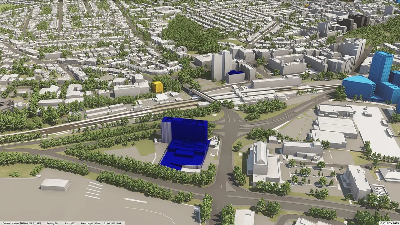
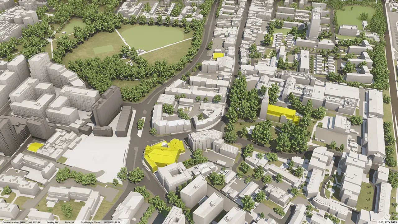
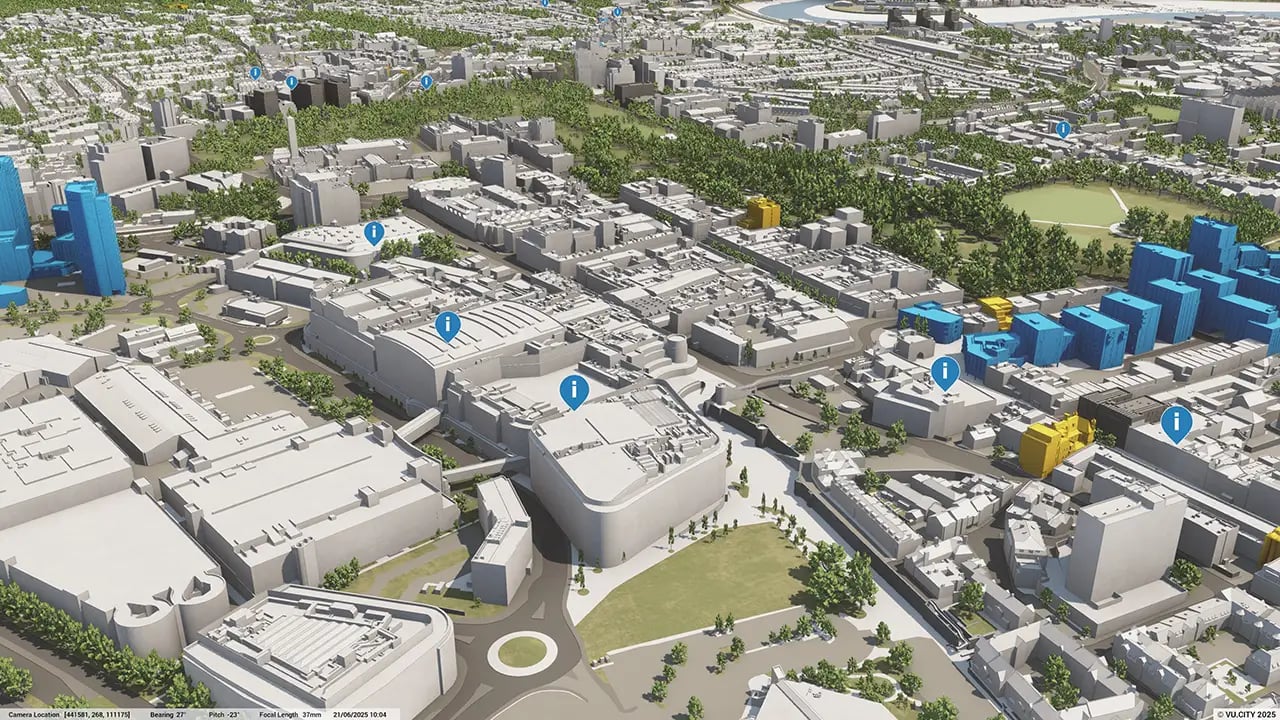
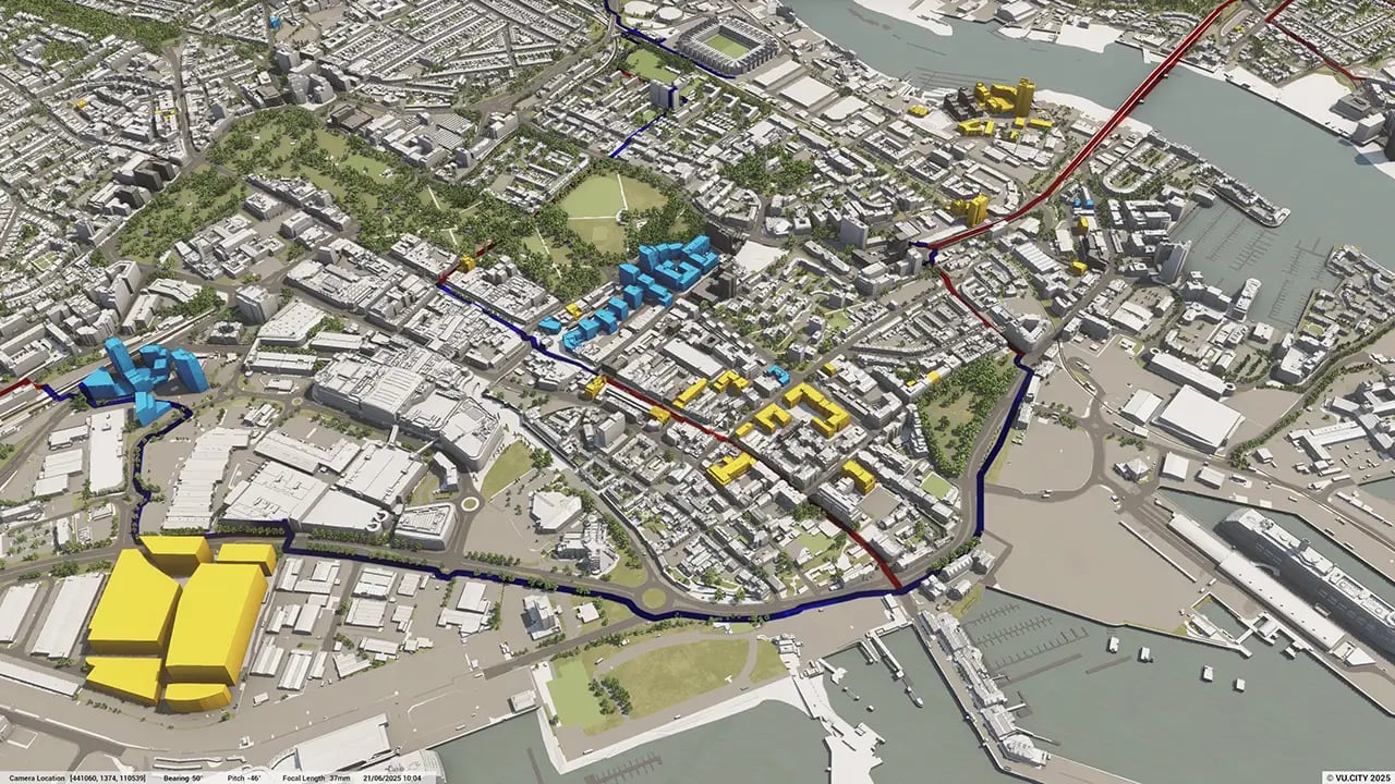
VU.CITY Southampton provides knowledge of critical views around the city, such as those directed at the Civic Centre and St Michael's Church. This allows you to assess the influence that future developments may have on the skyline, as well as the opportunity to explore the model from a bird's eye view and the view of the citizen.
Southampton City Council's shared data layers help you take key considerations and constraints into account early when designing a scheme. VU.CITY’s Southampton 3D model helps built environment professionals to improve communications with clients, win contracts, and create an inclusive narrative with all stakeholders.
Trusted by 6,000+ users across 26 cities
Architects, developers, local authorities, urban planners, and more trust VU.CITY to help achieve their goals.
Organise and visualise your geospatial data in accurate context with our comprehensive suite of digital design and development tools.
VU.CITY Southampton: 3D Model Features and Planning Tools


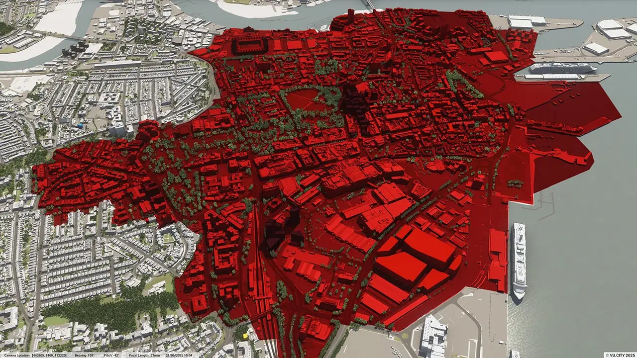
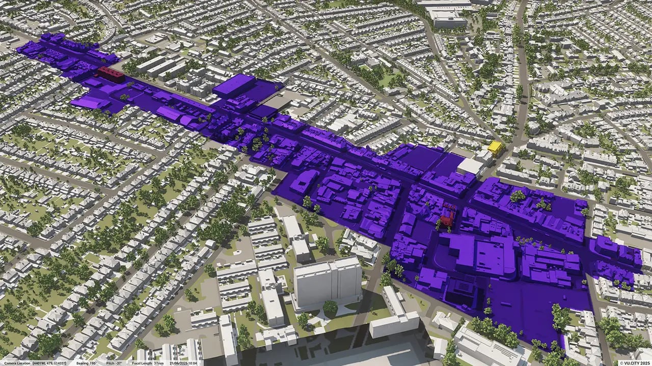
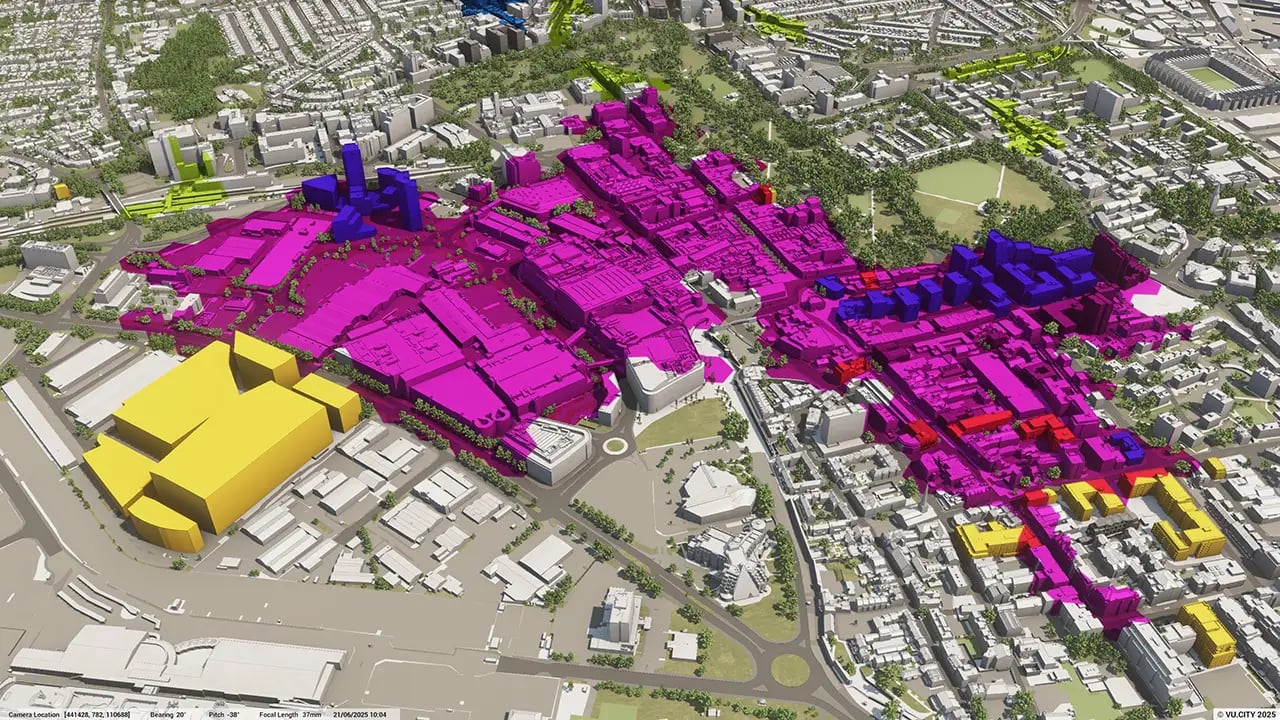
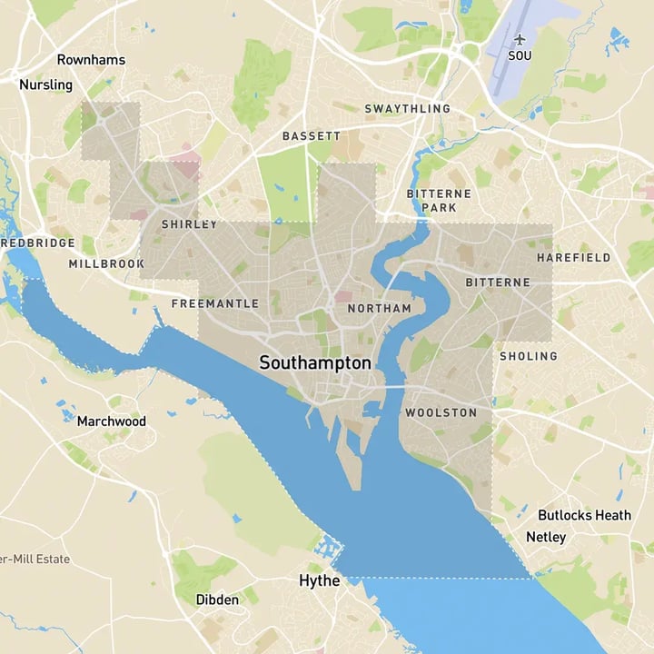
Southampton 3D tile coverage
Whether you’re focusing on a single neighbourhood or the entire cityscape, VU.CITY provides full coverage with unmatched precision.
VU.CITY Southampton FAQs
Here are some frequently asked questions about VU.CITY's Southampton 3D Digital Twin and Model.
How accurate is the VU.CITY Southampton 3D model, and what data sources are used?
The VU.CITY Southampton model is built using accurate geographic and architectural data, including aerial imagery, GIS data, and building information. This accuracy allows users to confidently assess project impacts in a real-world context.
How can the Southampton 3D model help with visualising project impacts on historic areas?
The model includes tools for assessing visibility, height, and sunlight impact, which are especially useful in historic and sensitive areas. Users can ensure that projects align with the city’s heritage conservation goals by visualising changes from different vantage points.
Is it possible to simulate environmental impacts, like sunlight and shadow, for a specific project in Southampton?
Yes, the Southampton model provides sunlight and shadow analysis, allowing users to see how a new project will interact with surrounding areas throughout the year. This helps in assessing environmental impacts and planning for optimal building placement.
Can multiple stakeholders collaborate in real-time within the Southampton model?
Absolutely. VU.CITY offers collaborative tools like tagging, annotations, and sharing features that allow project teams, local authorities, and consultants to view and discuss project details, ensuring everyone is aligned.
How does the VU.CITY model support planning compliance and local regulations in Southampton?
The model helps planners understand how projects fit within Southampton’s local guidelines, including height restrictions and conservation zones. By visualising projects within the city’s real context, users can identify compliance issues early and make adjustments as needed.
Explore digital 3D geospatial solutions for the built environment
VU.CITY provides clear, powerful tools for key decision-makers across the built environment, helping them visualise and shape the future of cities with confidence and precision.
Make smarter decisions with data-driven insights, from infrastructure to sustainability.
Unlock the power of Generative AI for optimal design and streamlined decision-making.
Bring your designs to 3D life with state-of-the-art modelling tools.
Collaborate seamlessly across studies, planning, and design.
Utilise advanced 3D models and a data-driven approach with our flexible ZTV service.
Bring Your Vision to Life with a 3D Flythrough Video.
26 UK & International Cities
Over 3,000+ sq km accurate to 15cm | Tools to scope, create & collaborate on designs
Shape Tomorrow’s Cities, Today.
Begin Your Free Trial Now.
- 1
- 2
- 3

