
London 3D Model
Reduce uncertainty with VU.CITY’s city of London 3D Model. Explore rich data layers to understand site constraints, assess opportunities, and anticipate potential impacts across your project lifecycle in the UK’s capital.
With VU.CITY’s accurate and immersive 3D digital twin, teams across the built environment can collaborate seamlessly, make smarter decisions faster, and move projects forward with confidence.
-
290DATA LAYERS
-
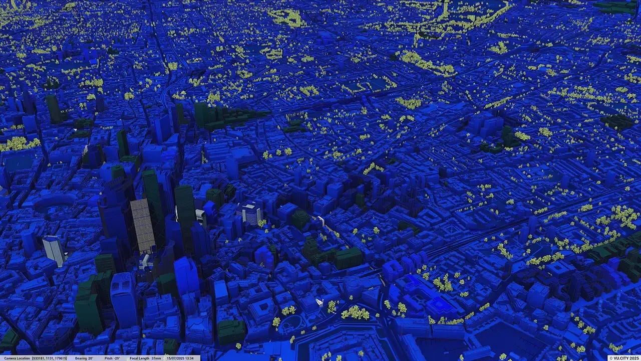
1730.56 sq kmMODELLED TO 15CM ACCURACY
-
3,652Consents approved VU.CITY
-
10,390,300TREES, ACCURATE HEIGHT AND CANOPY

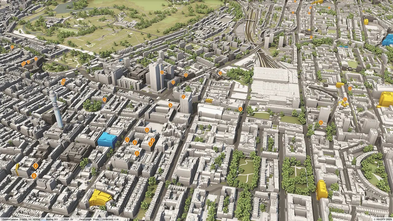
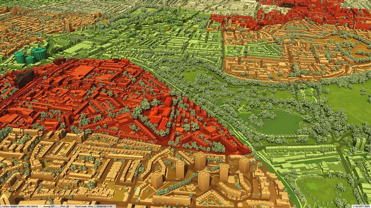
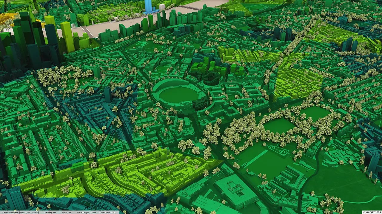
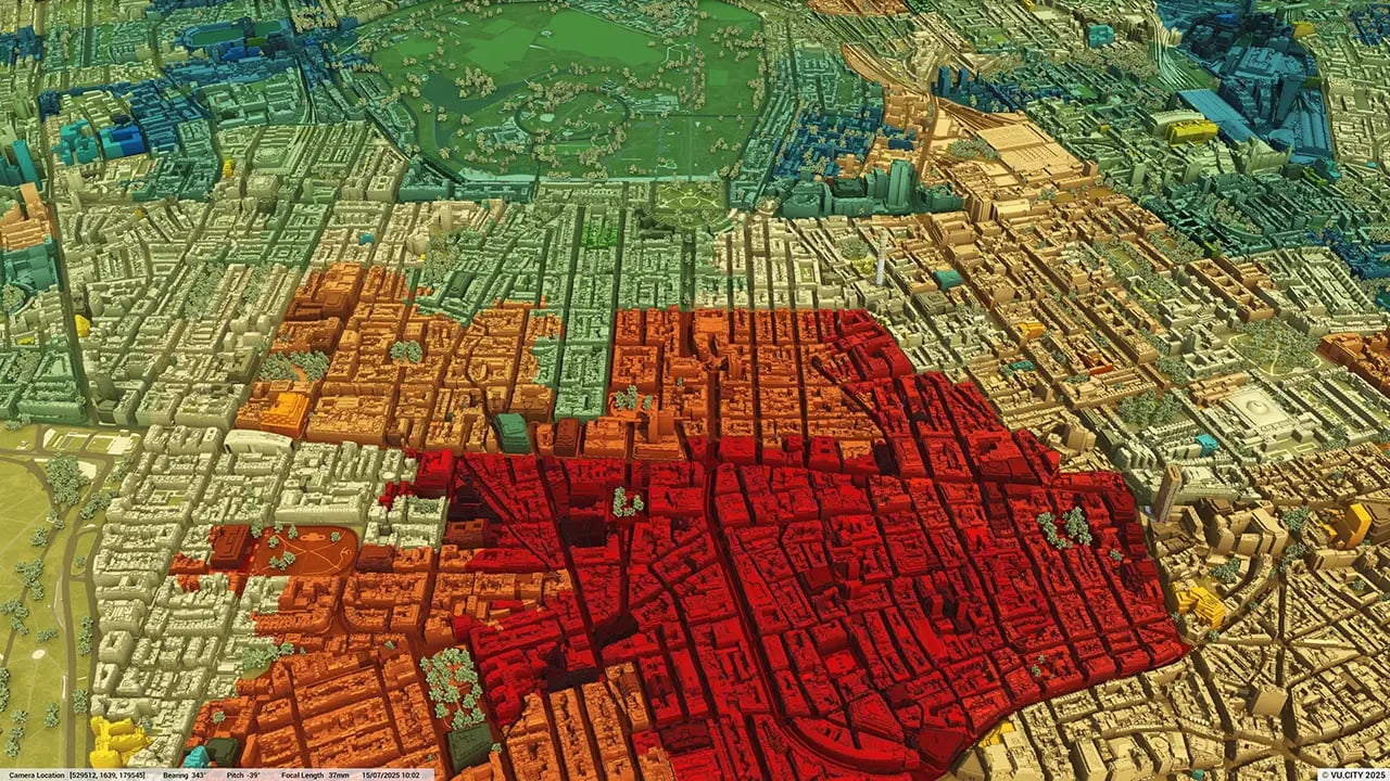
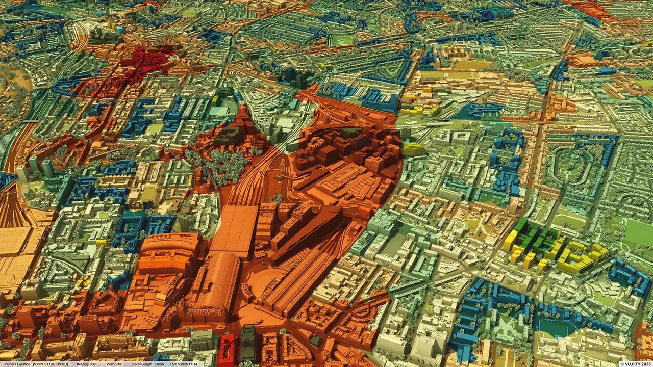
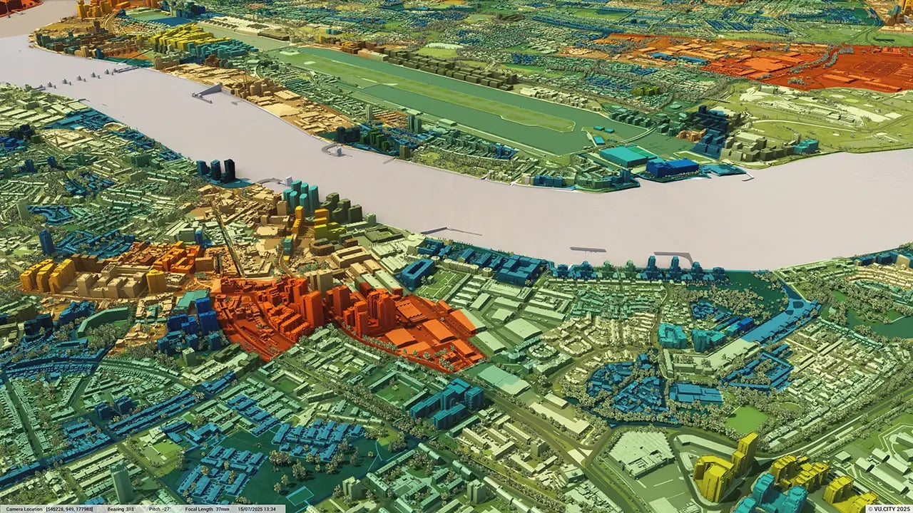
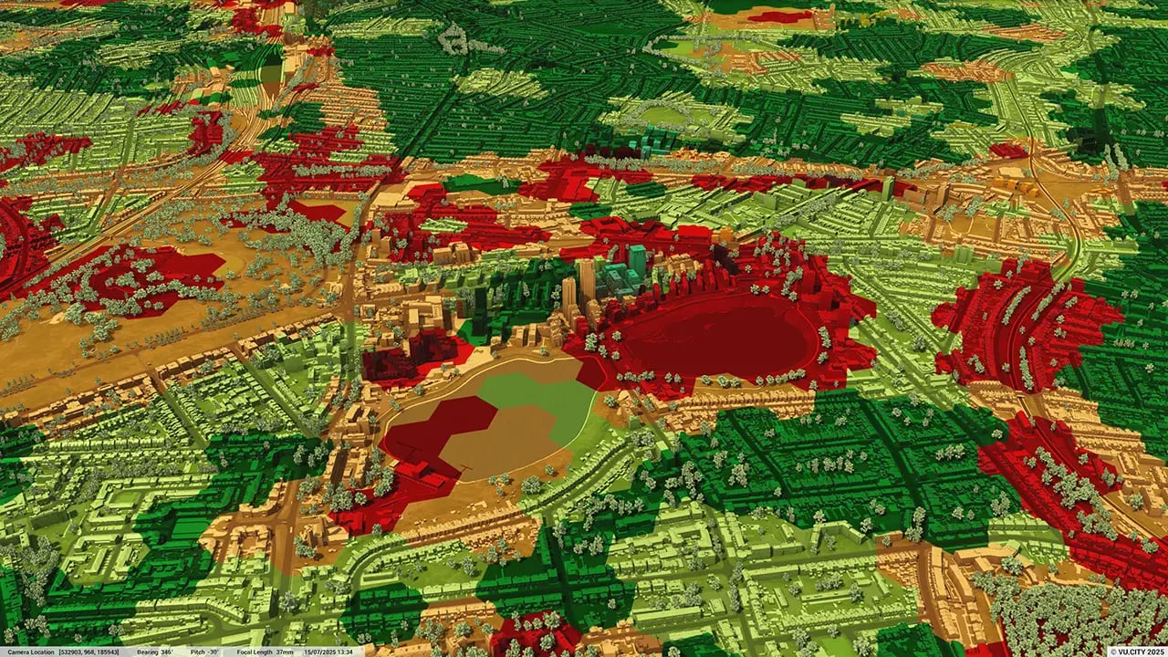
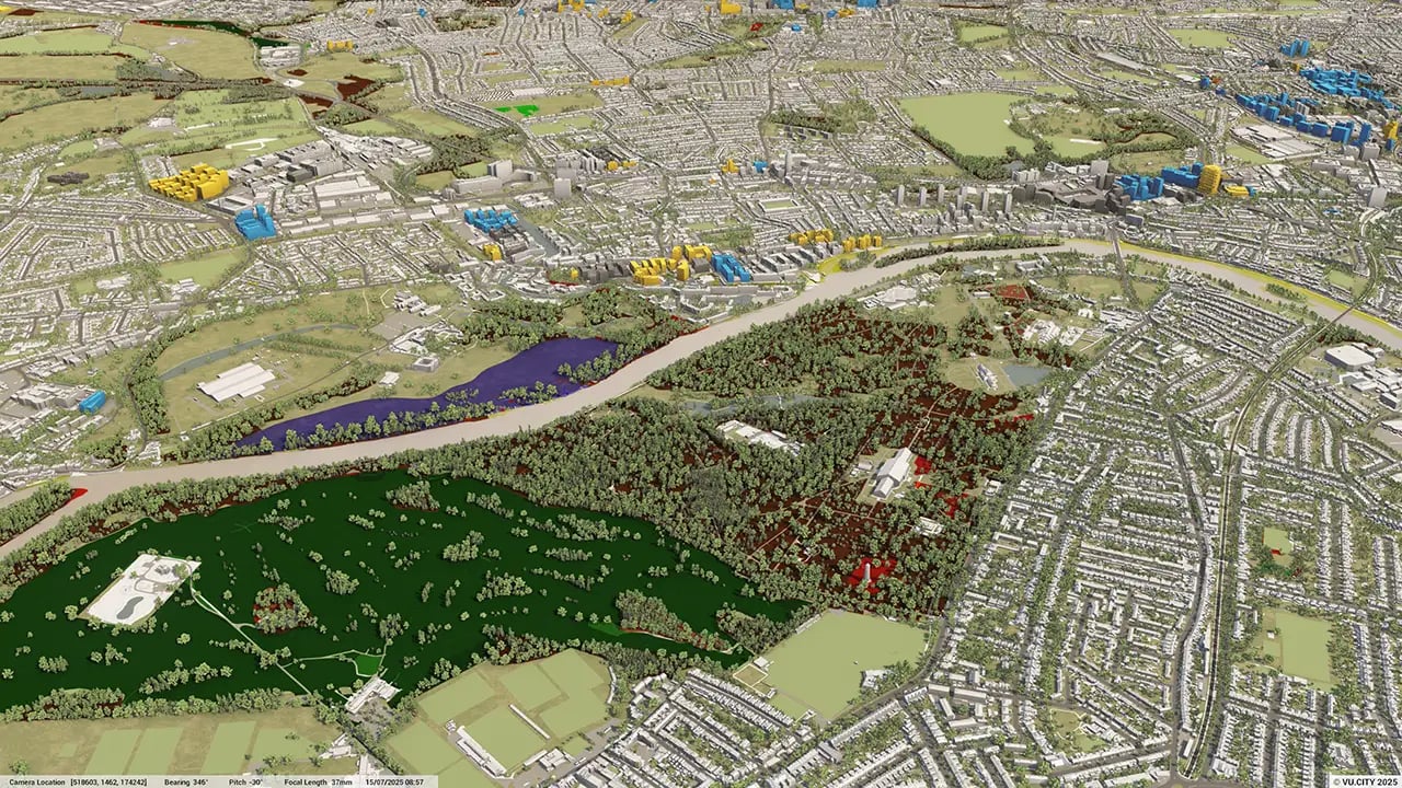
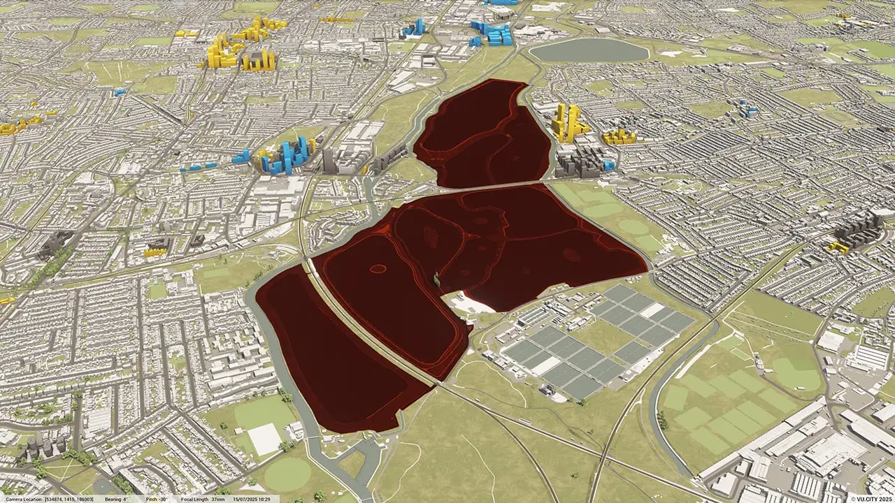
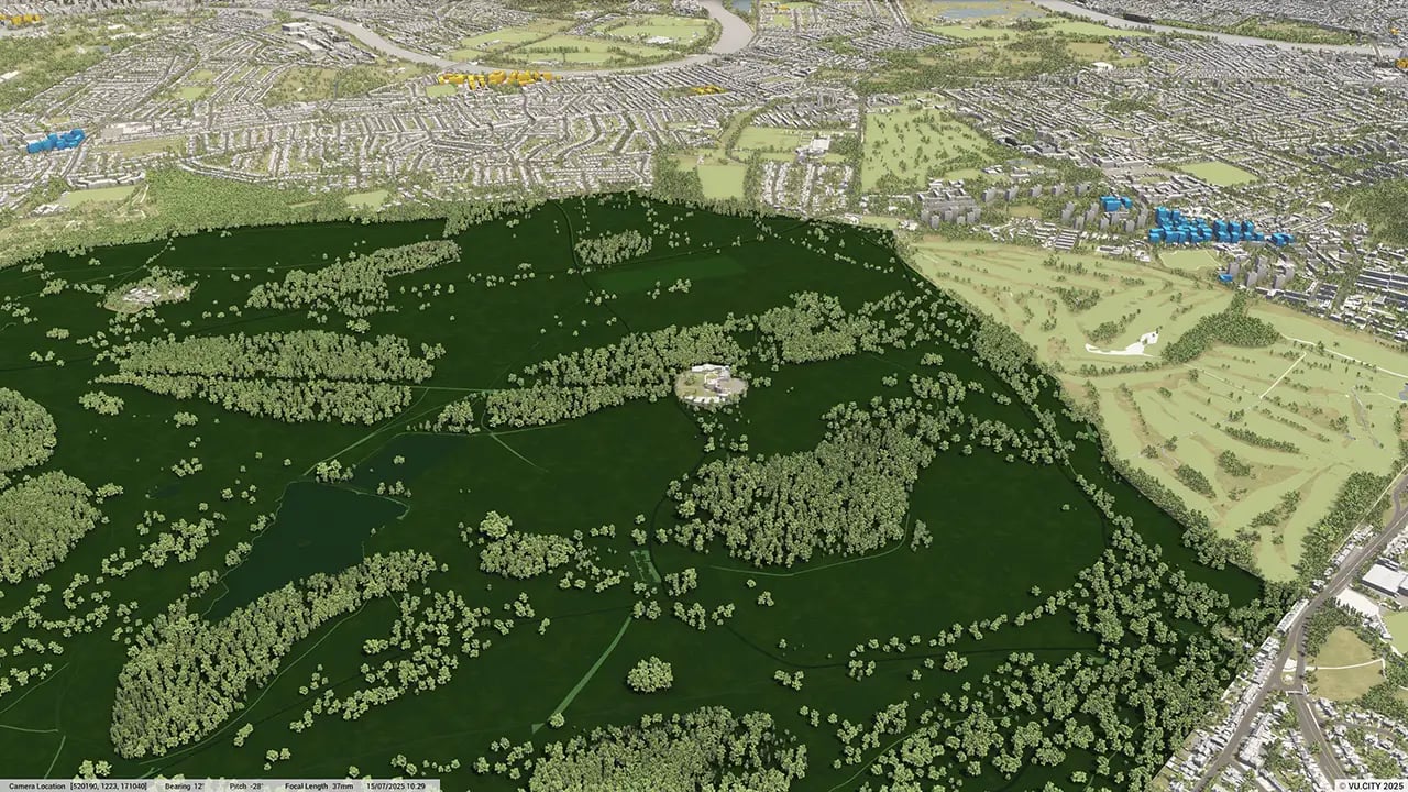
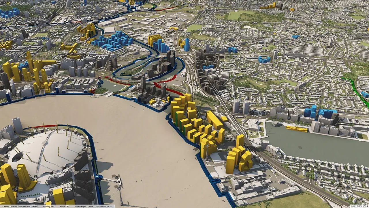
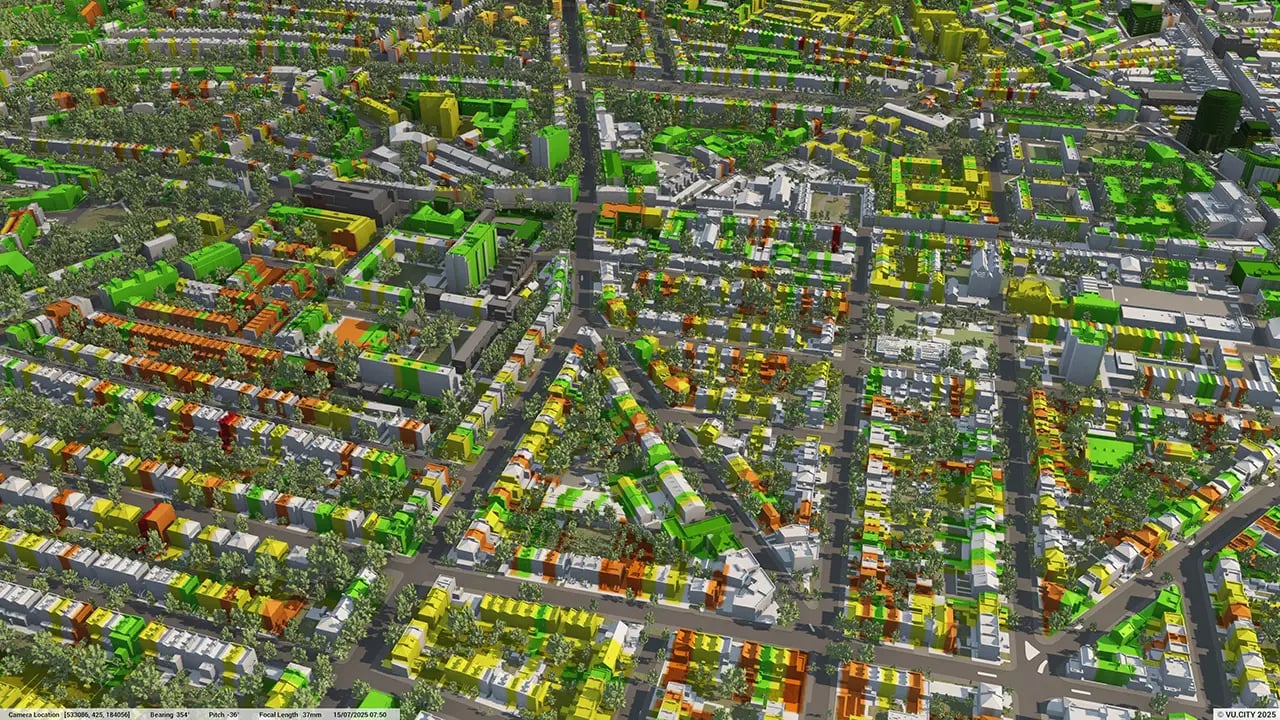
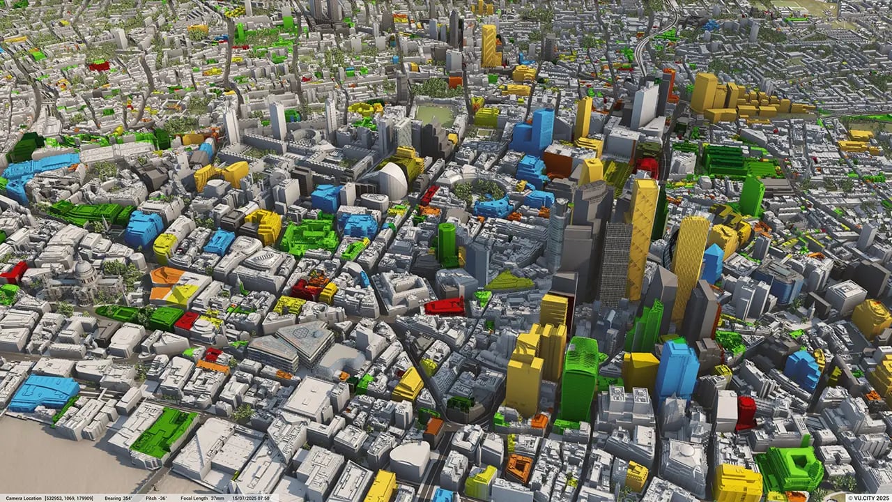
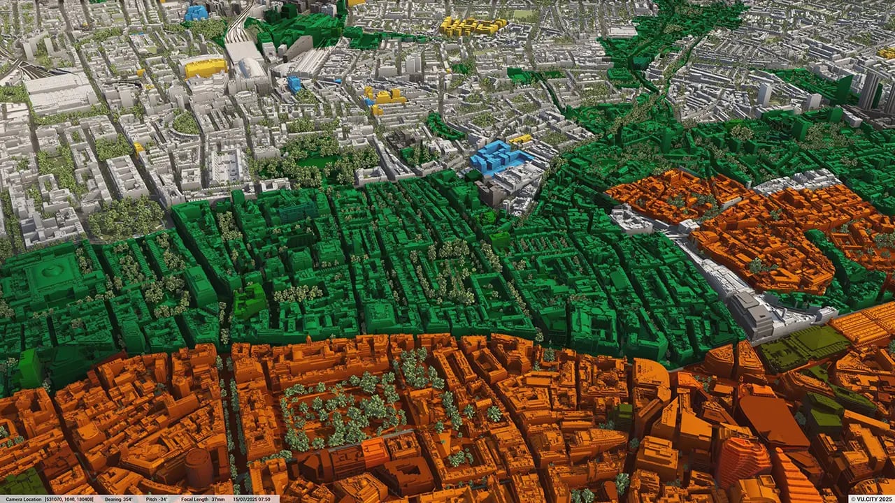
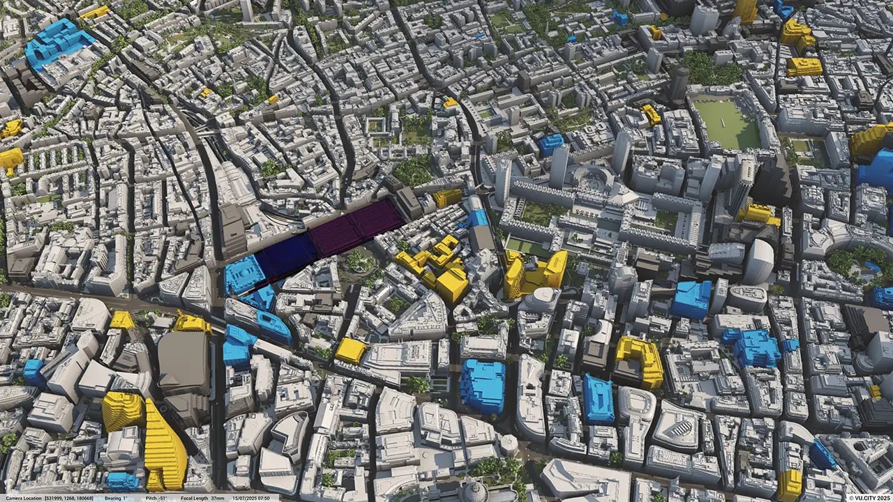
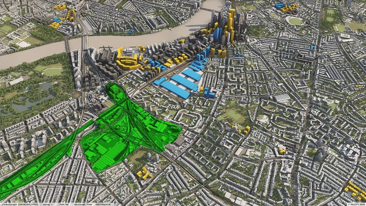
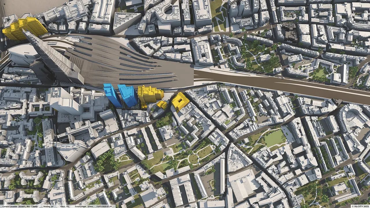
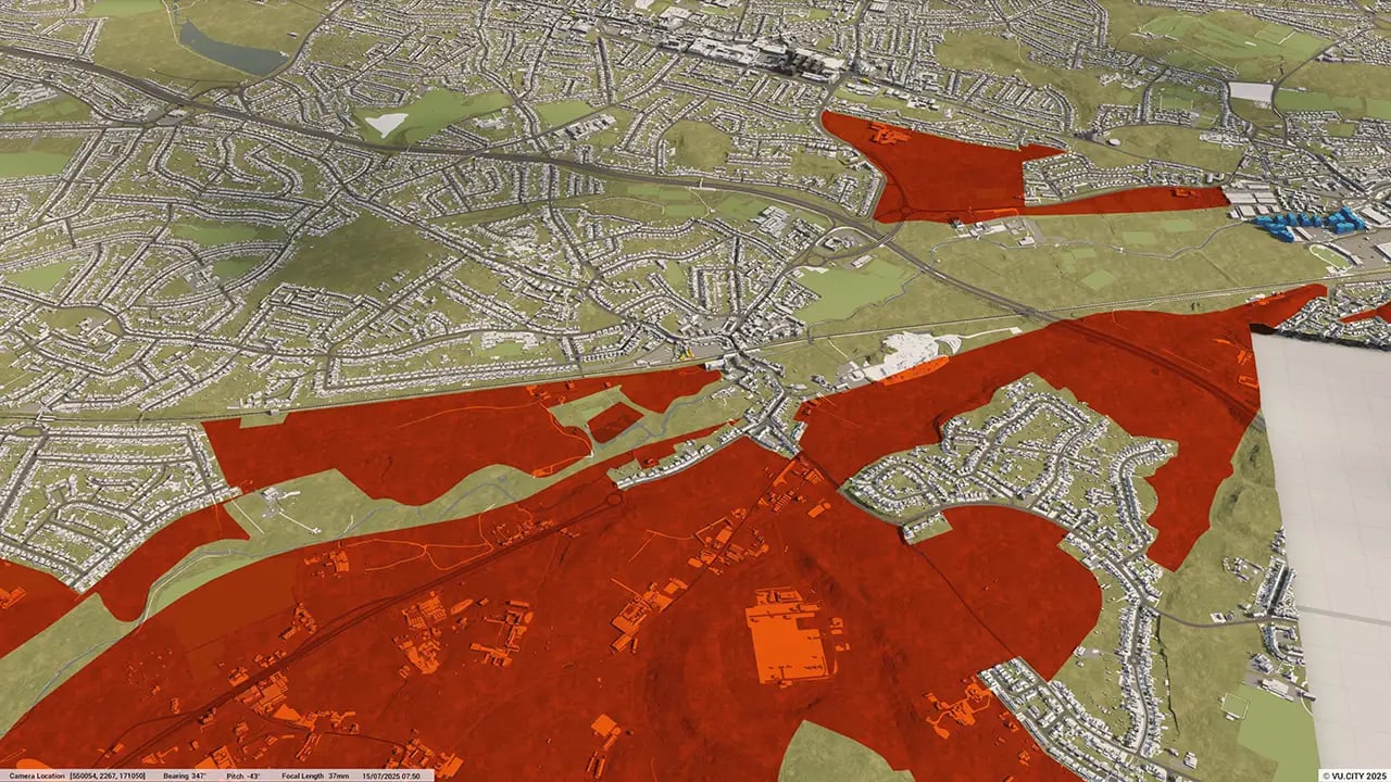
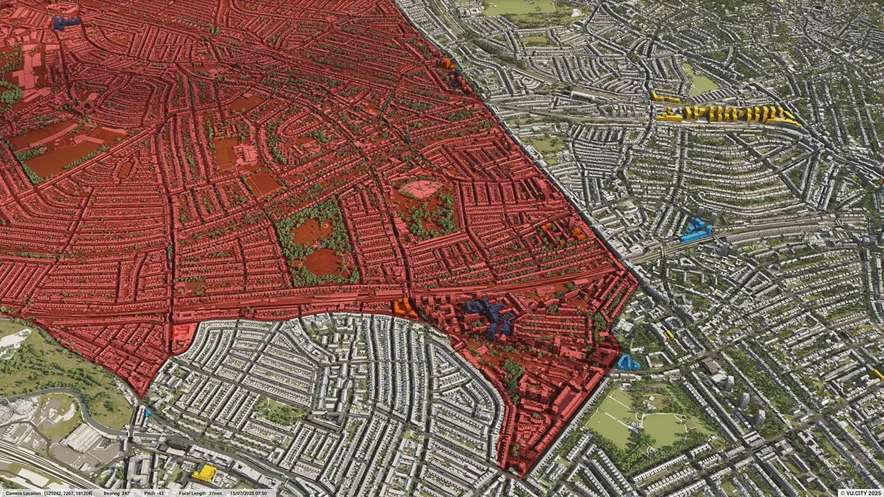
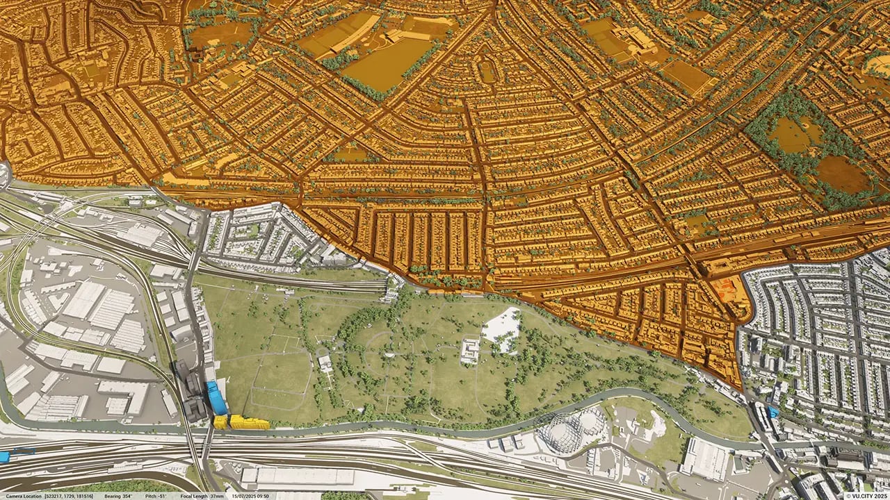
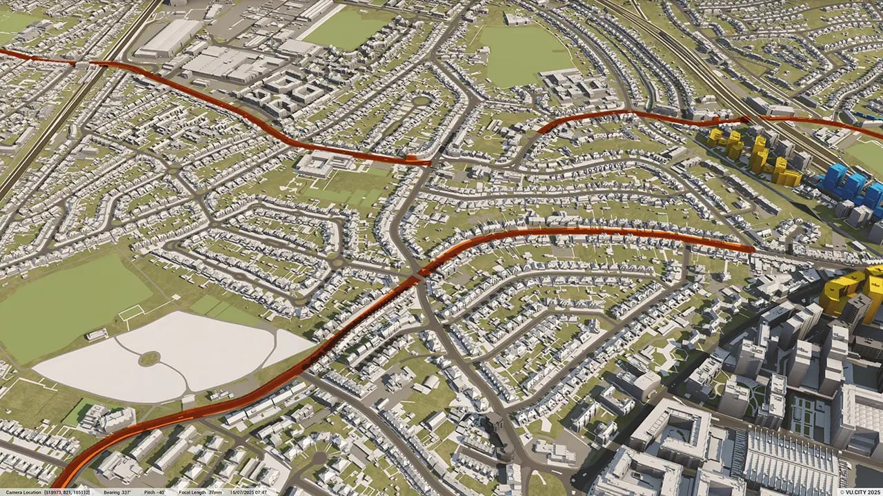
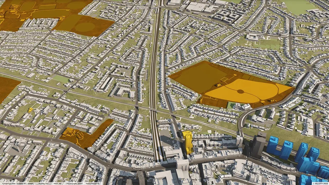
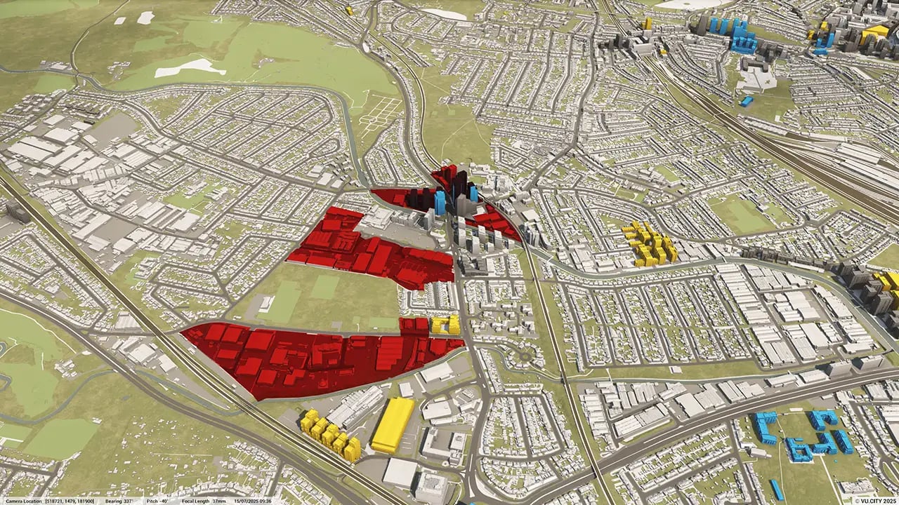
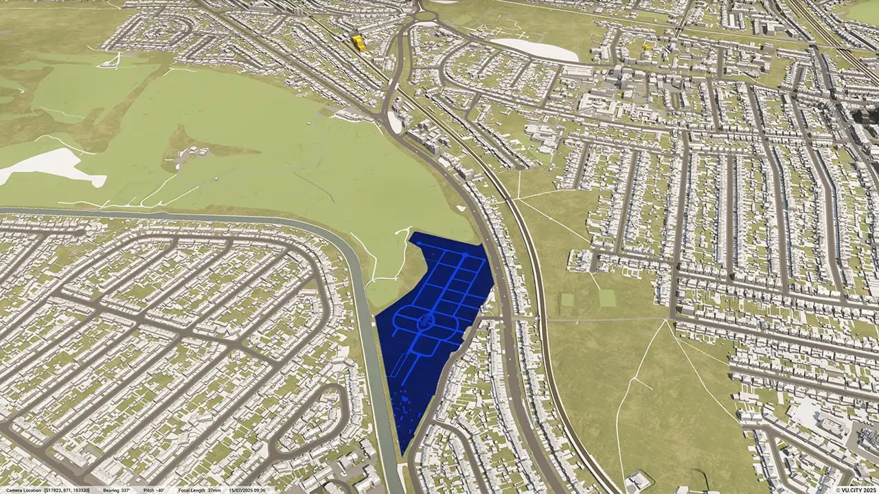
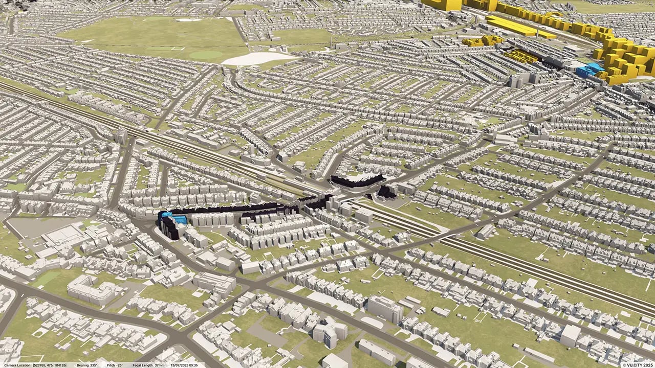
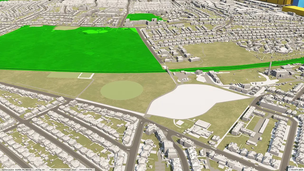
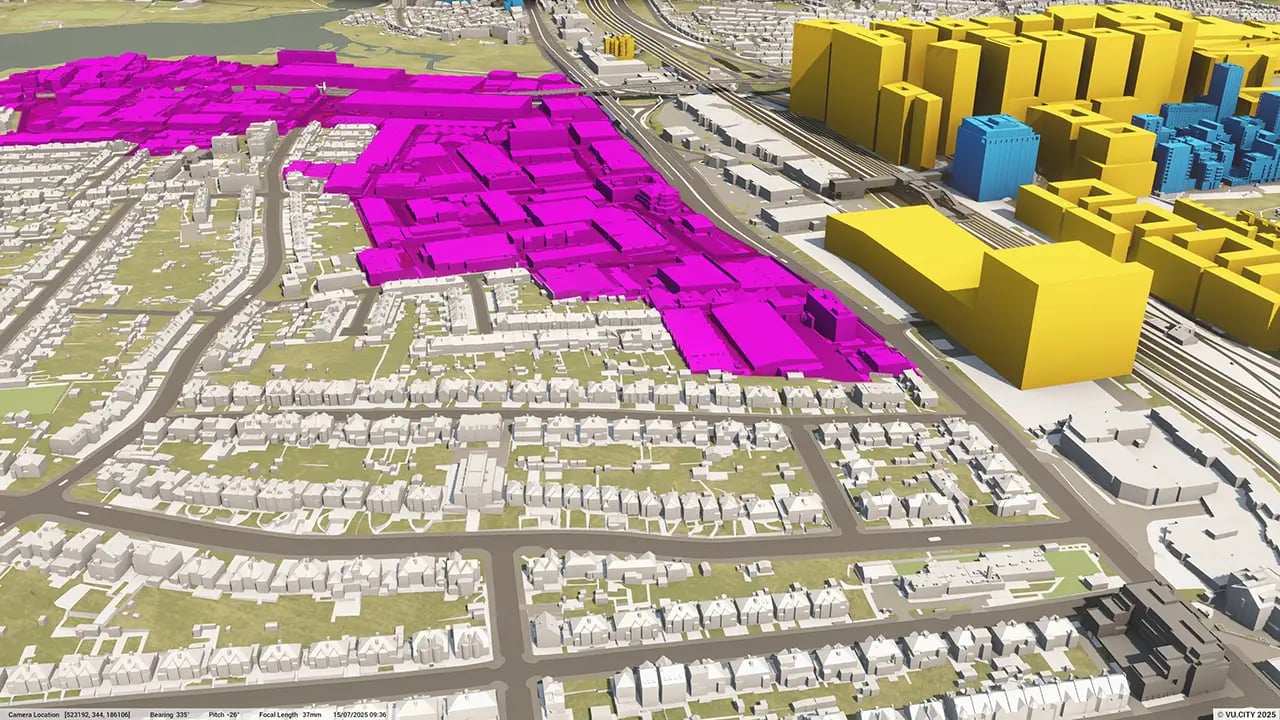
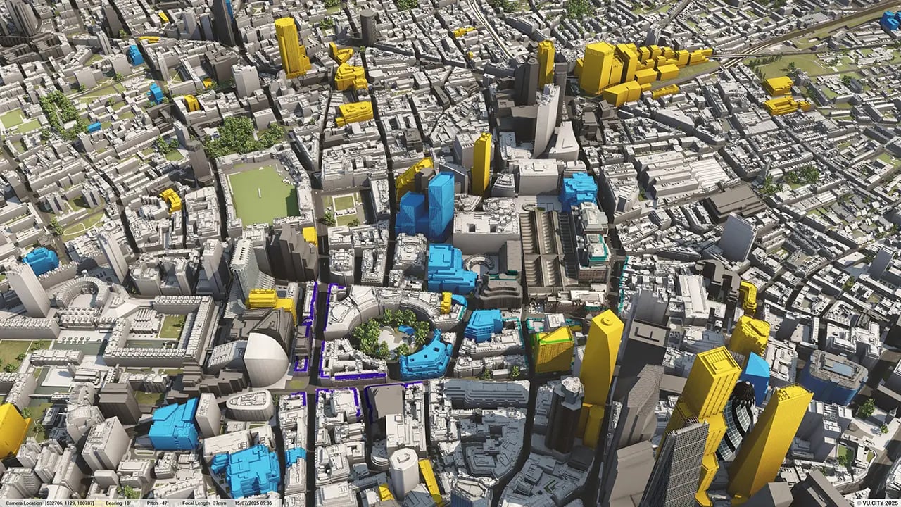
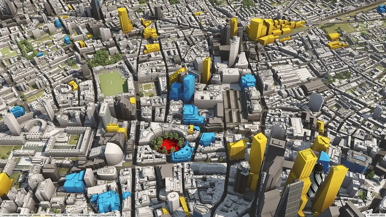
London data layers for contextual viability
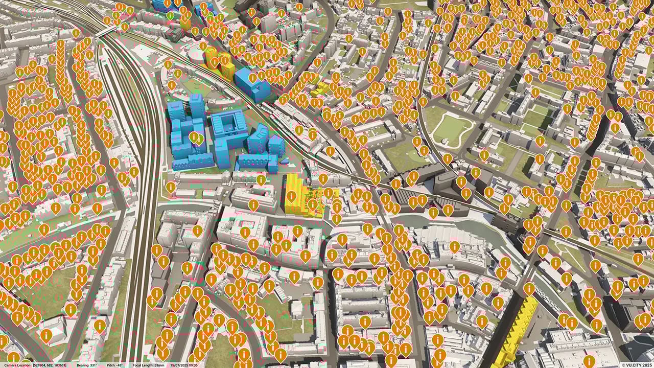
From transportation and zoning to environmental factors, the data layers in VU.CITY’s London 3D model provide essential insights for more informed and confident decision-making.
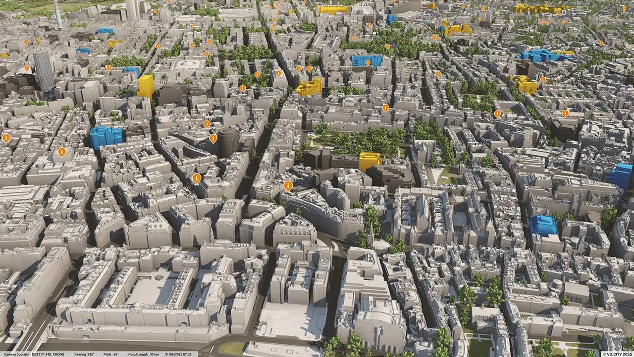
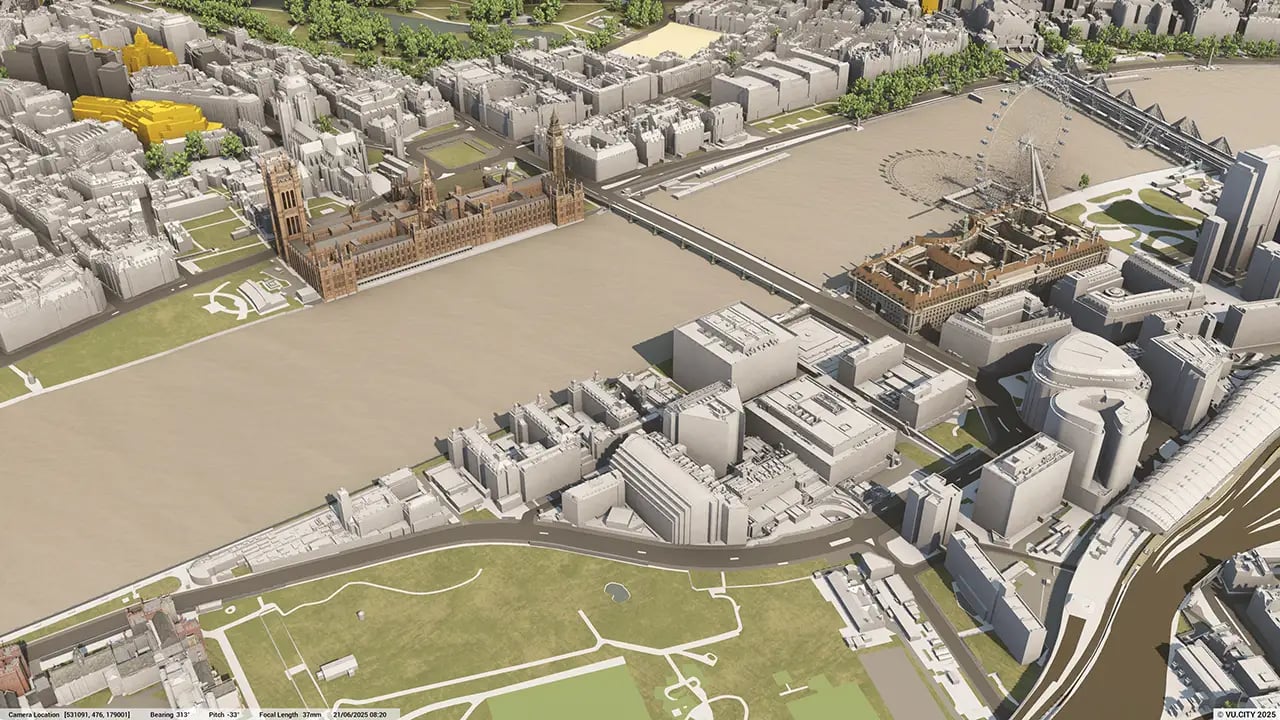
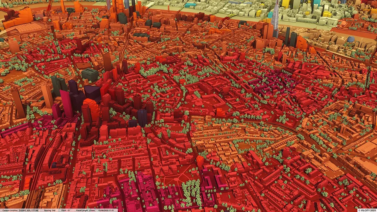
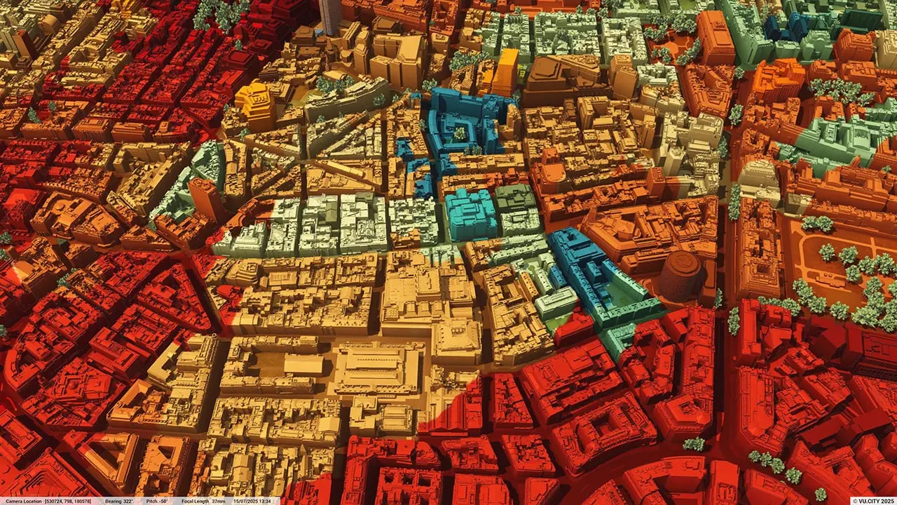
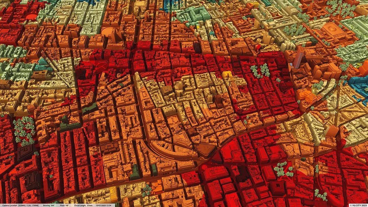
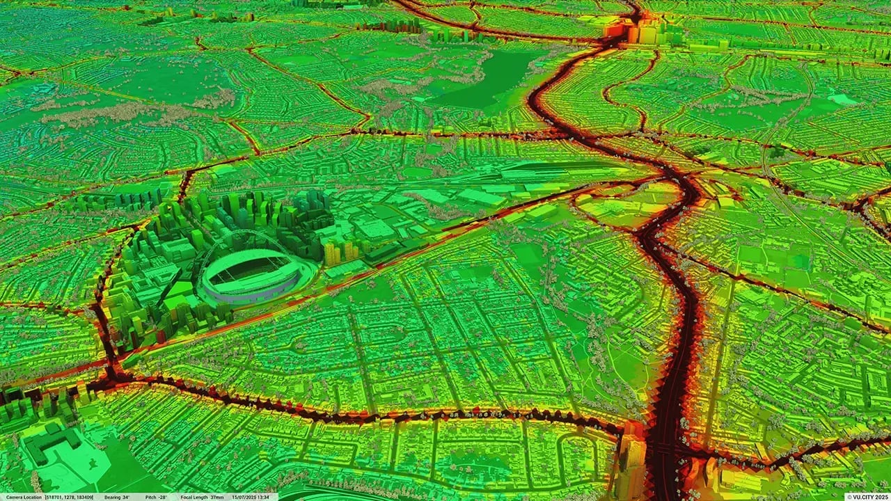
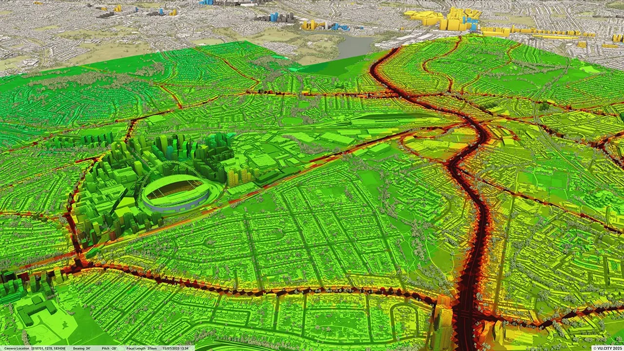
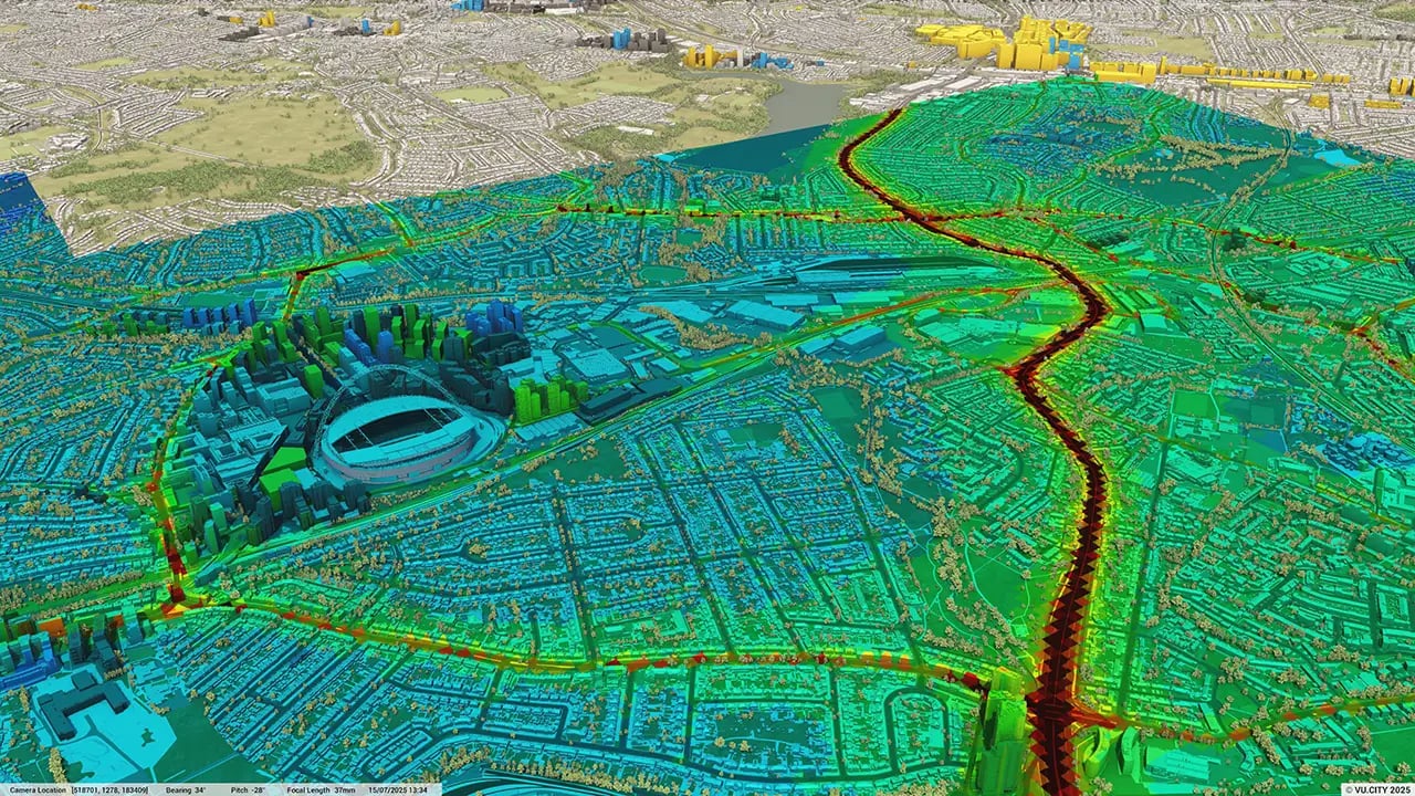
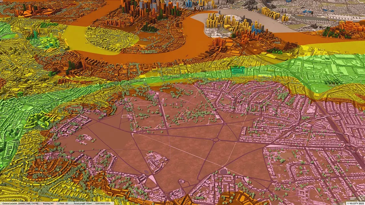
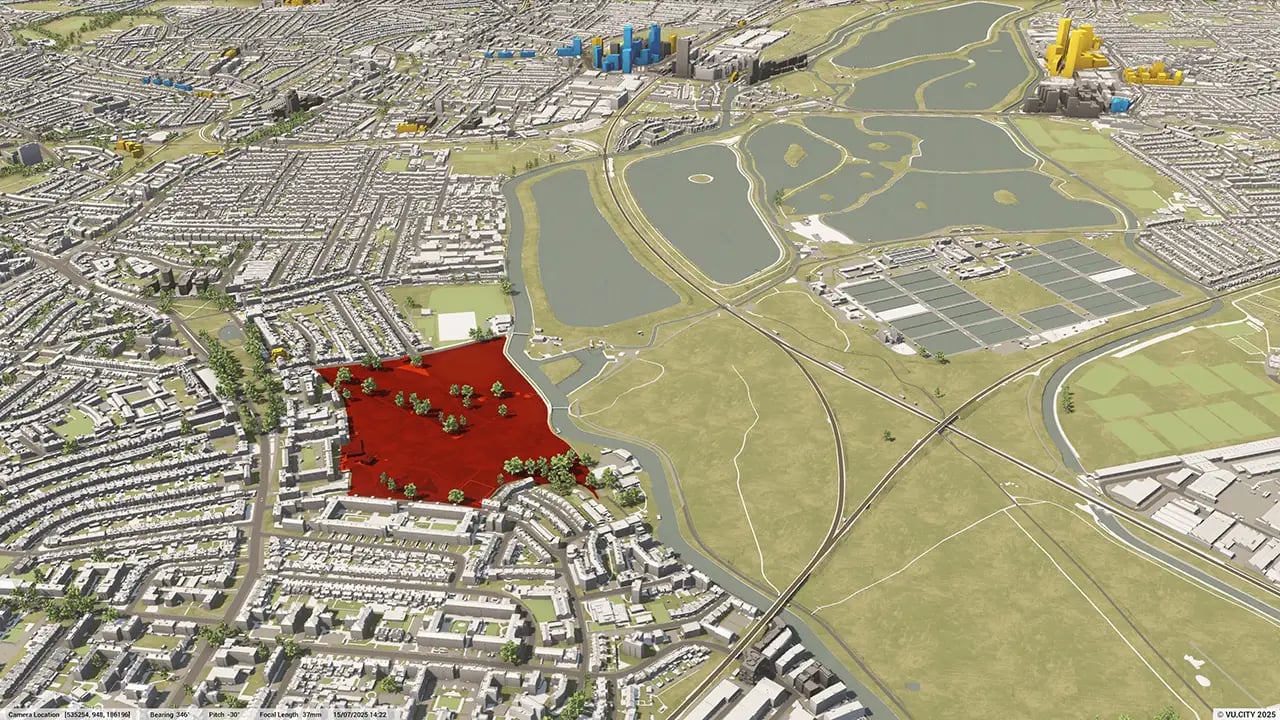
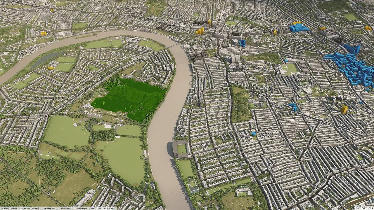
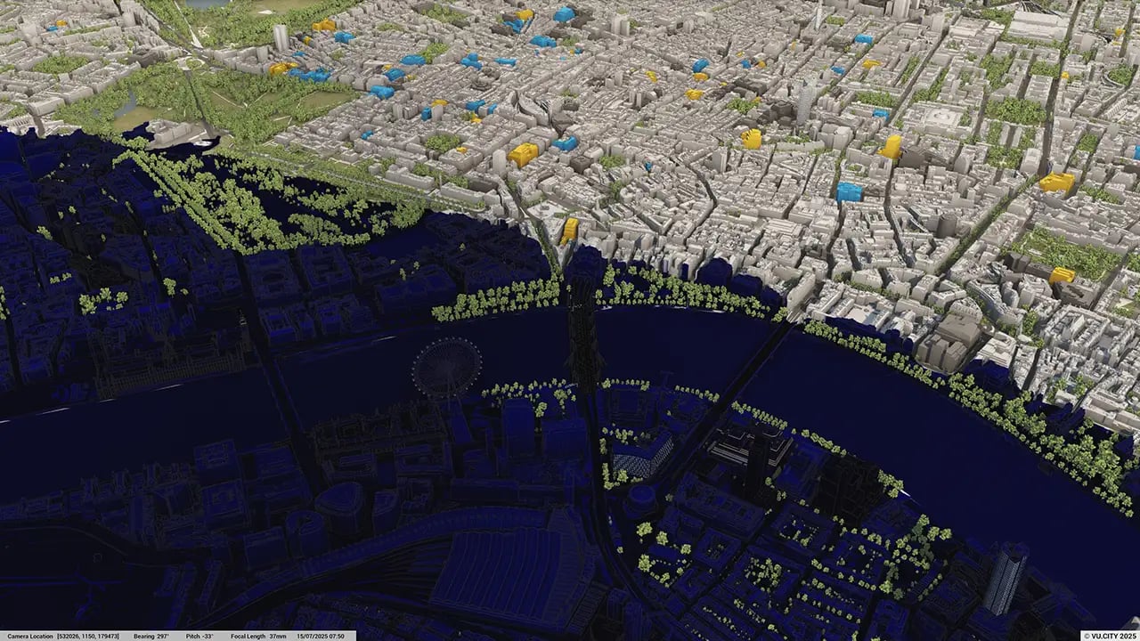
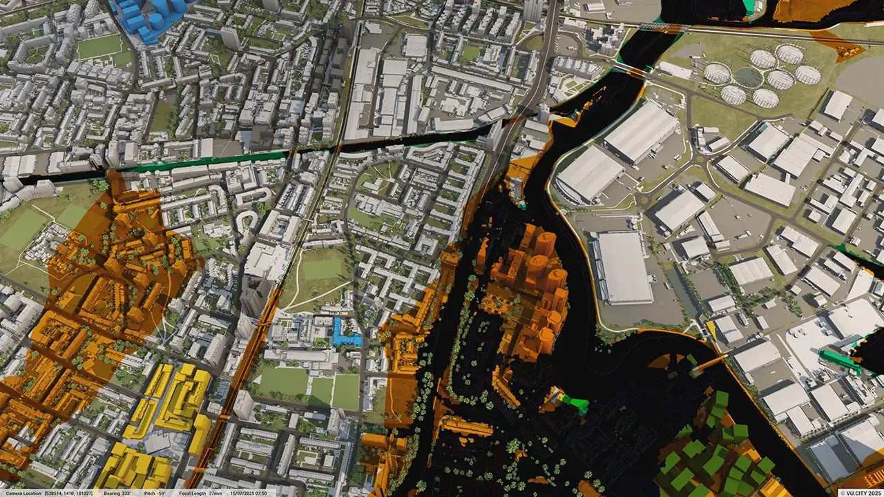
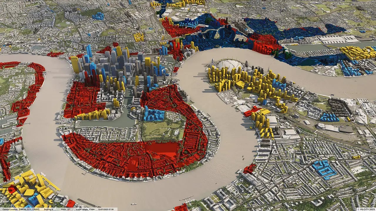
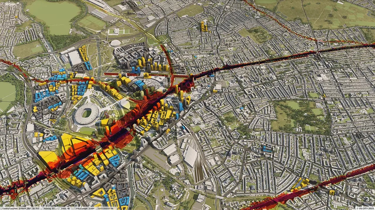
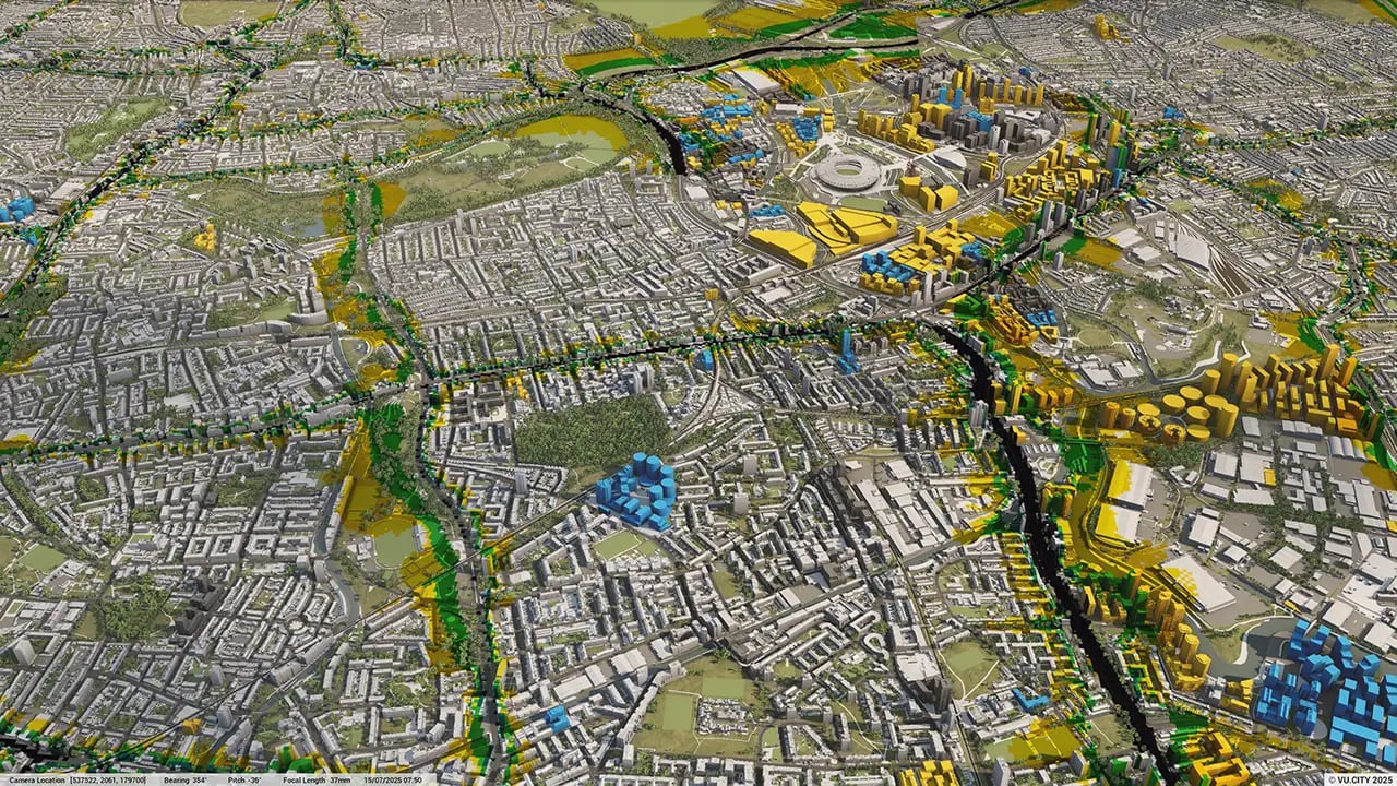
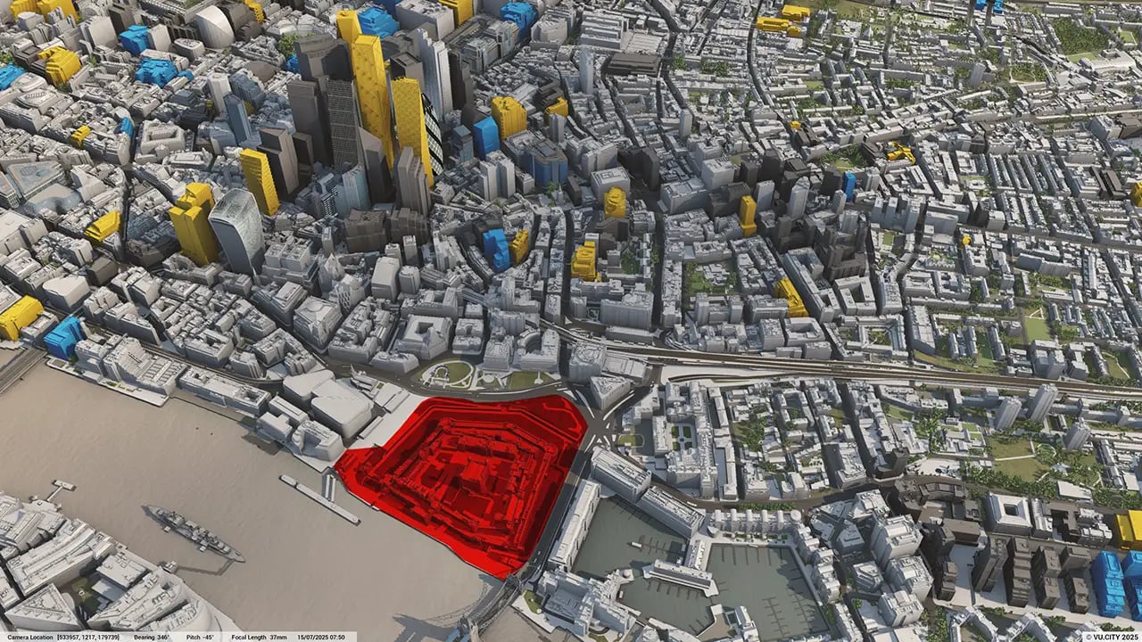
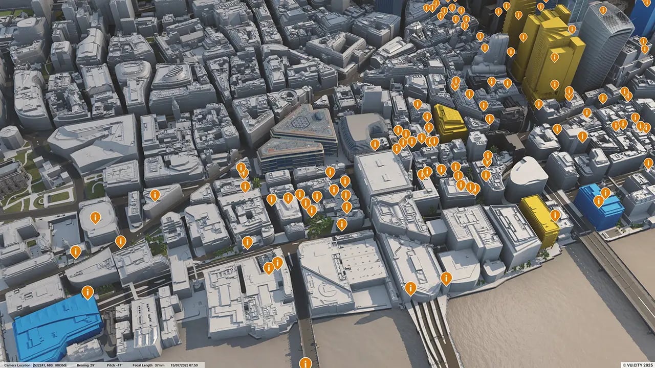

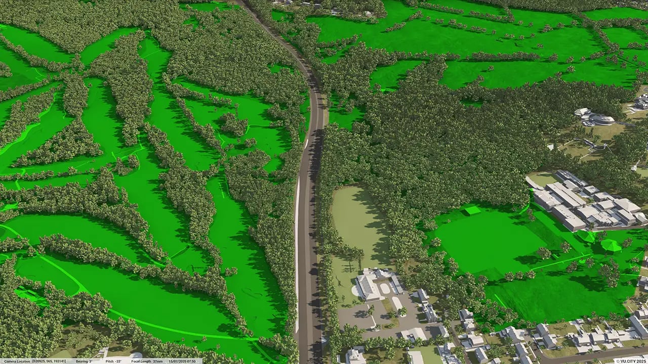
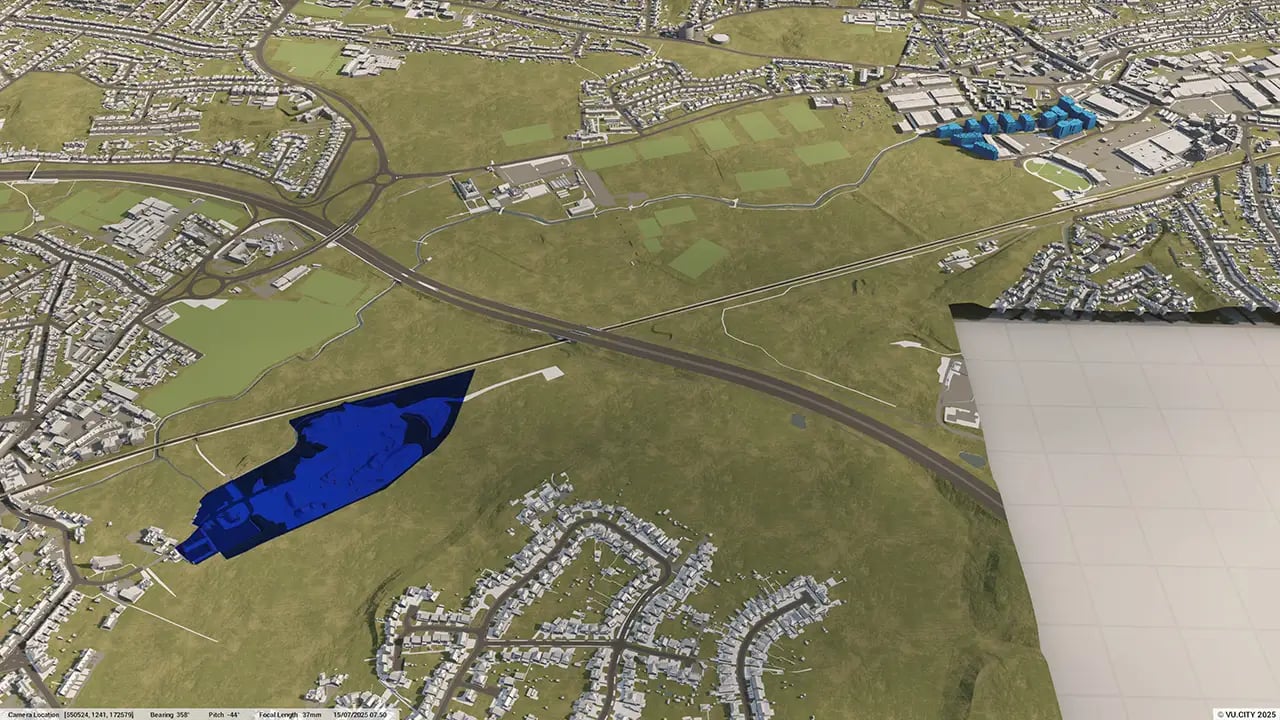
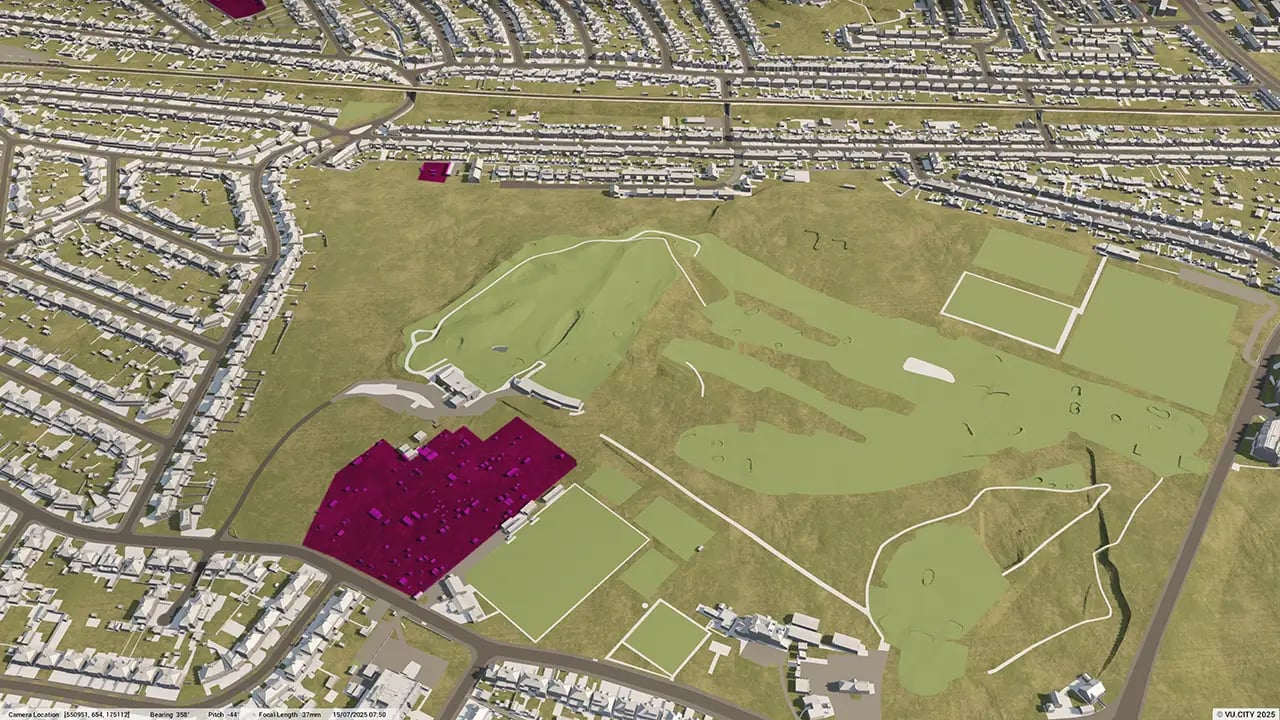
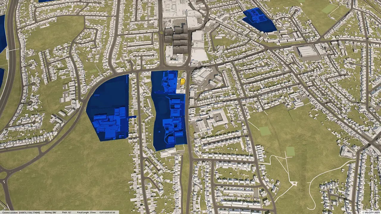
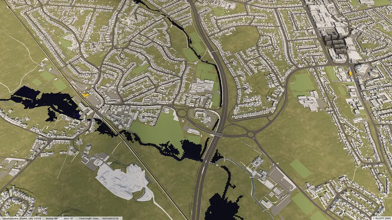
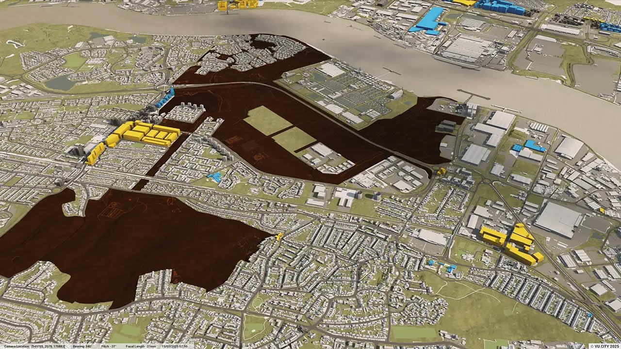
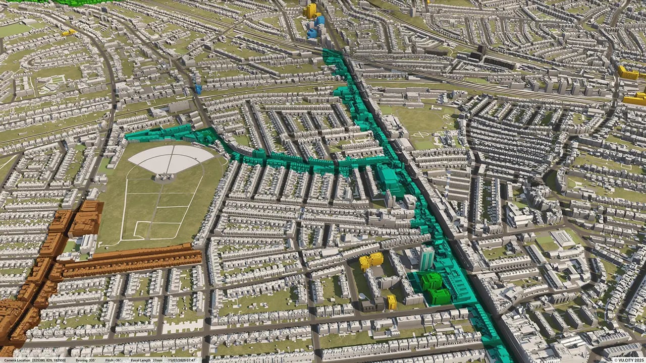
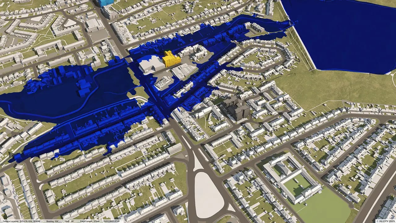
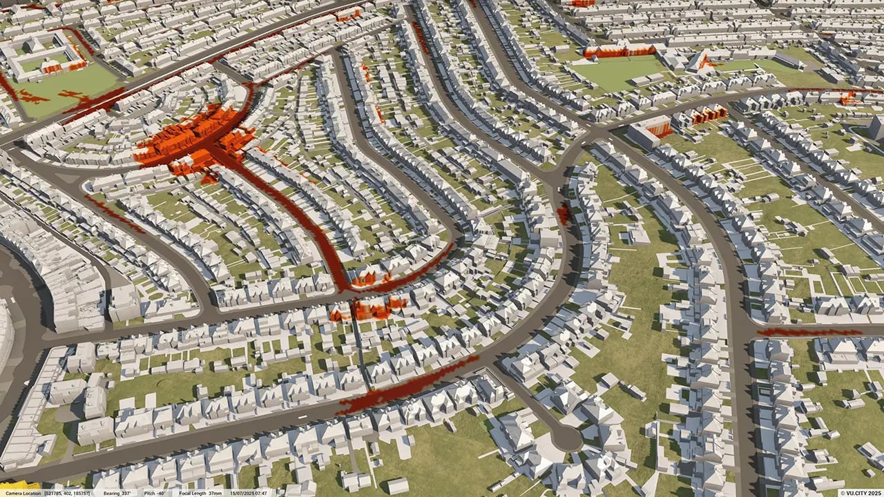
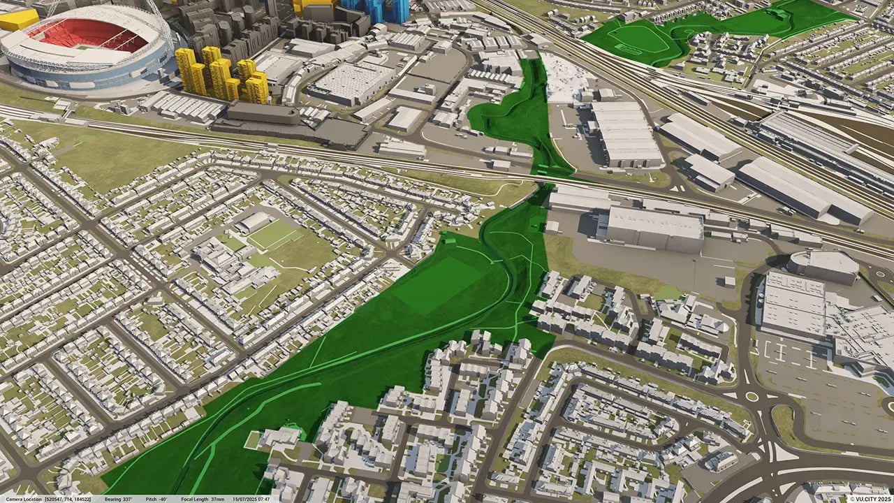
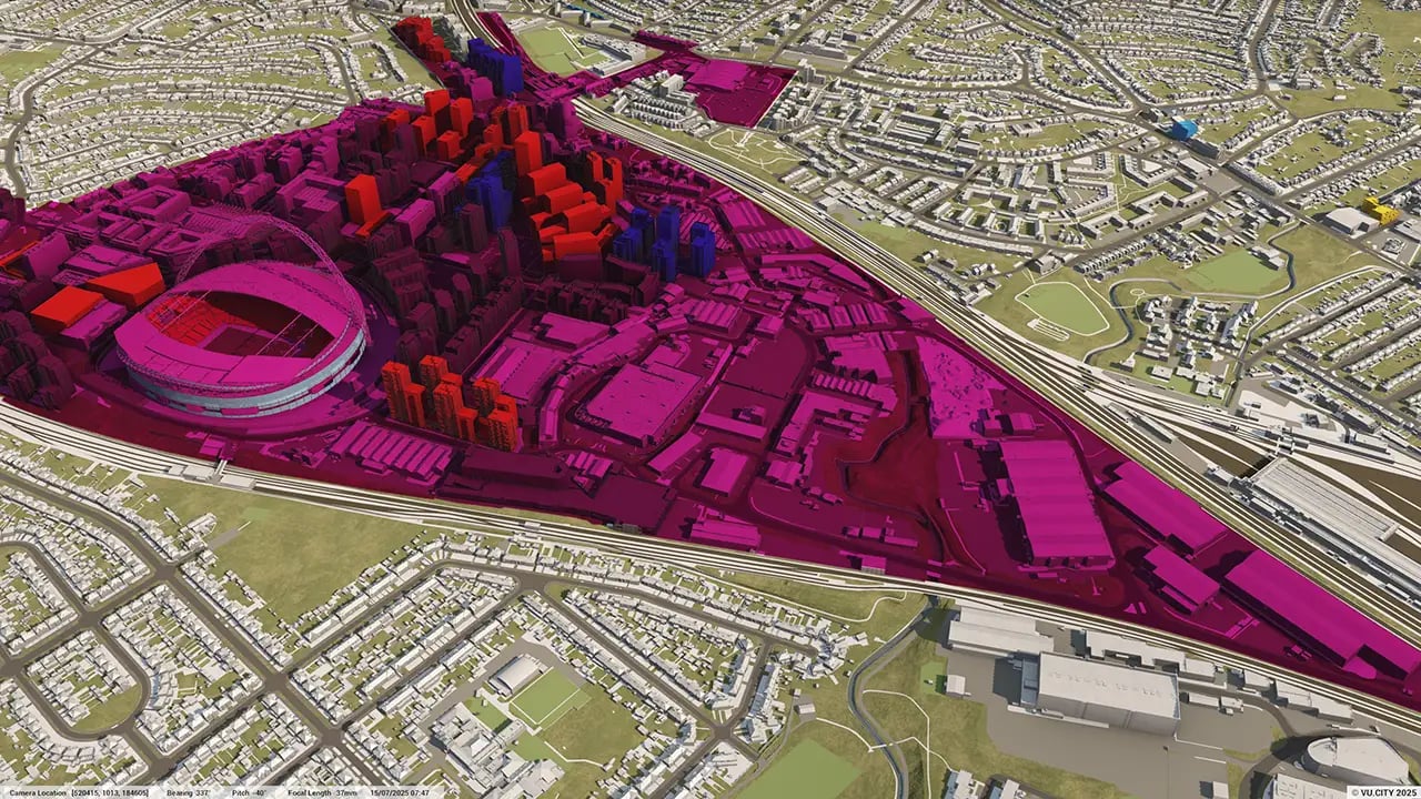
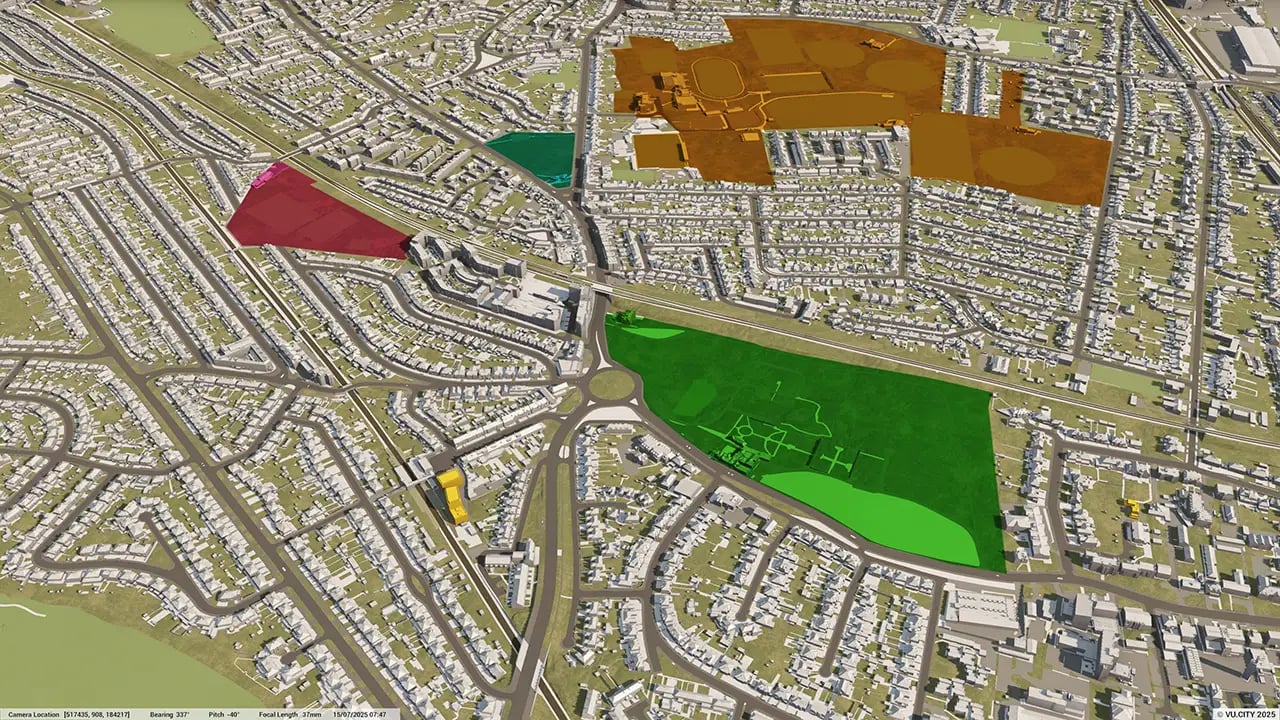
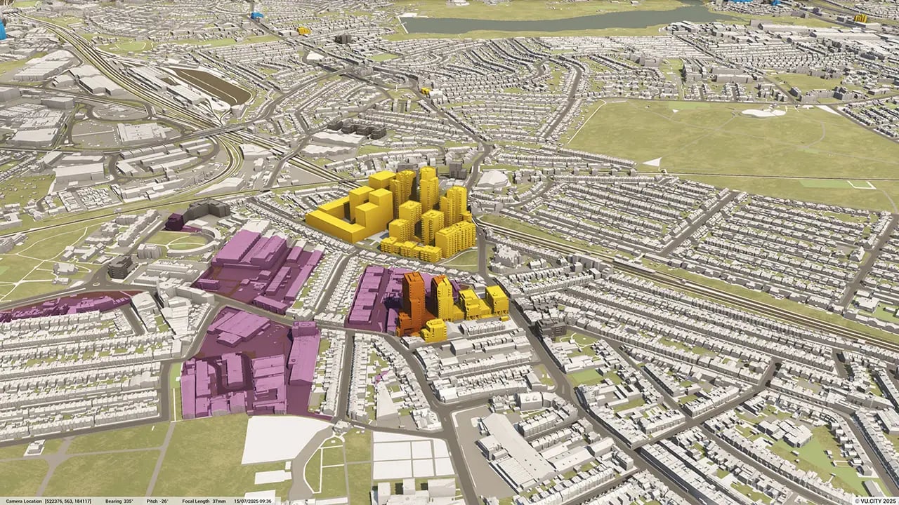
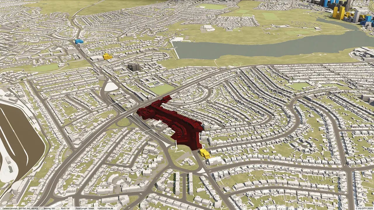
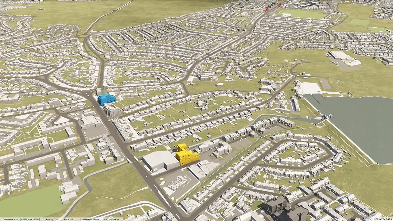
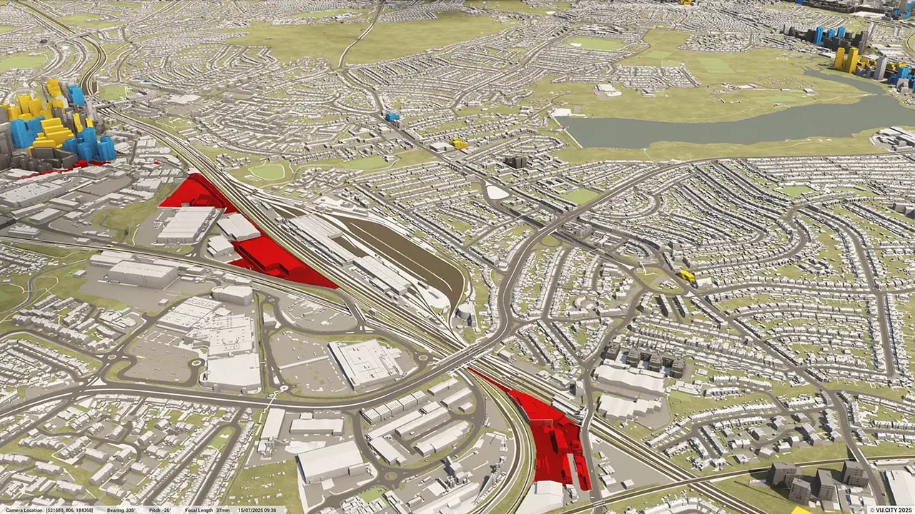
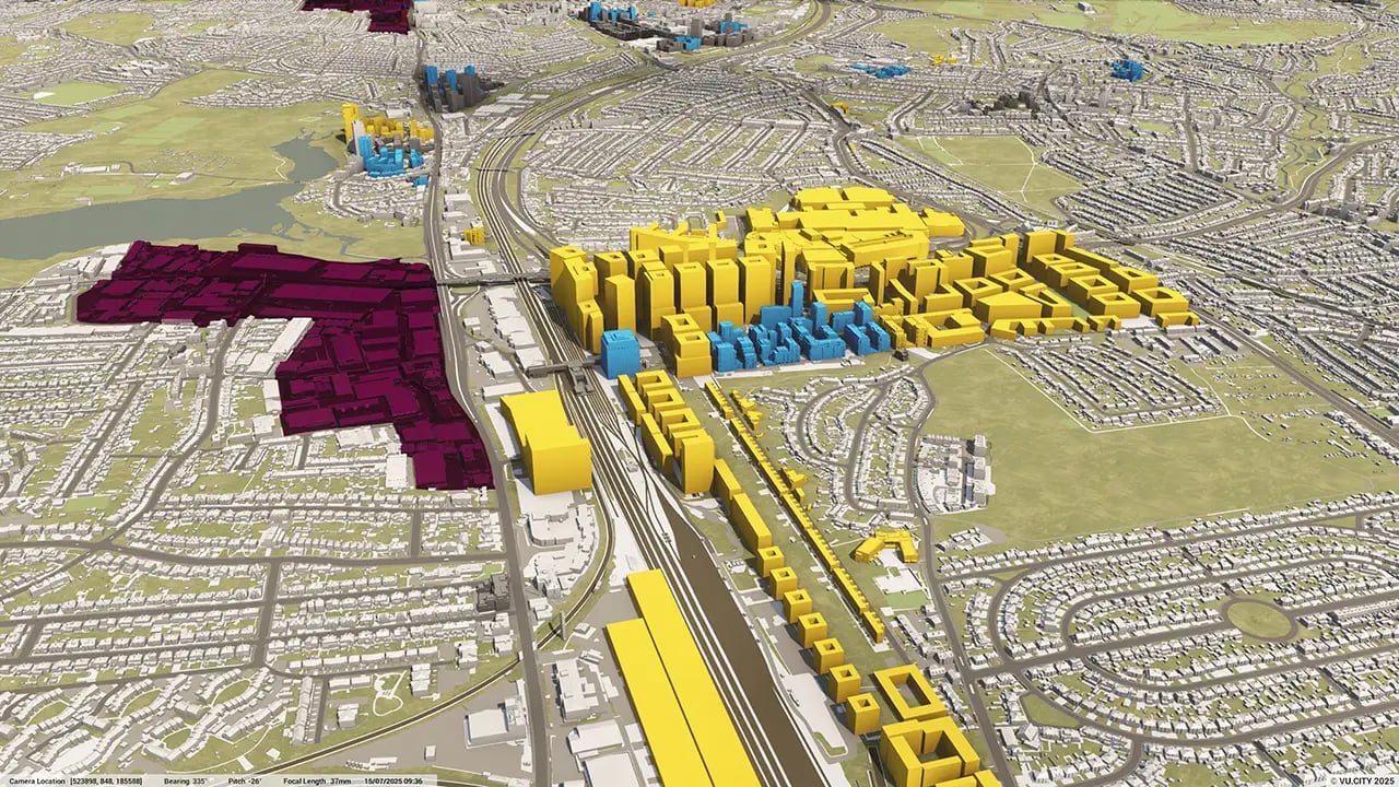
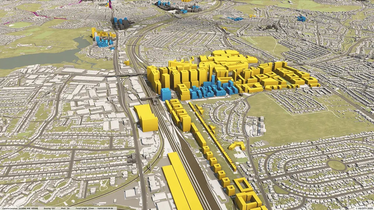
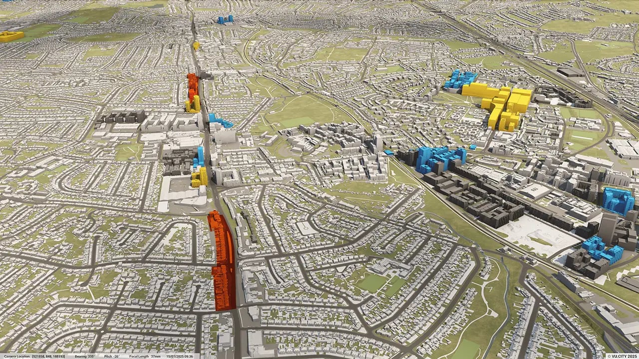
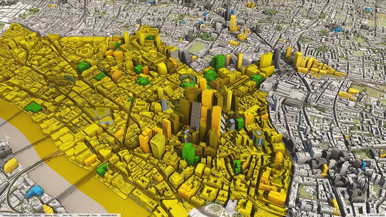
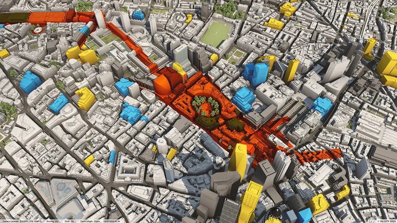
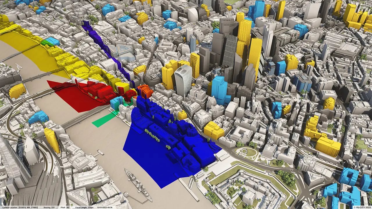
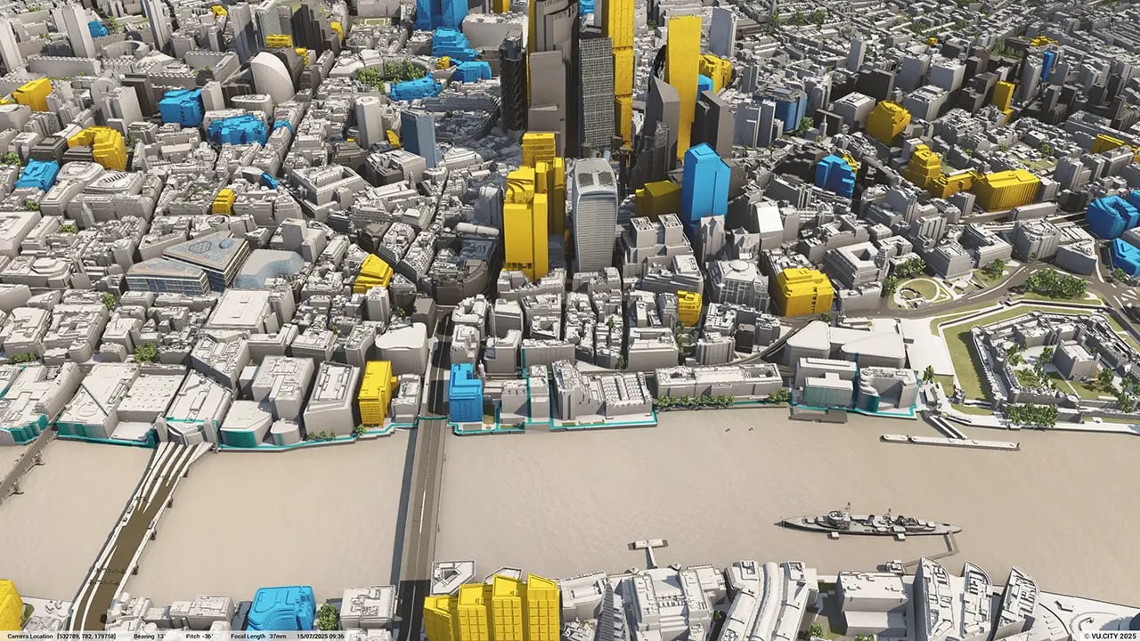
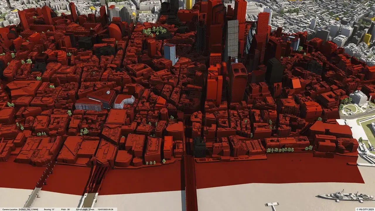
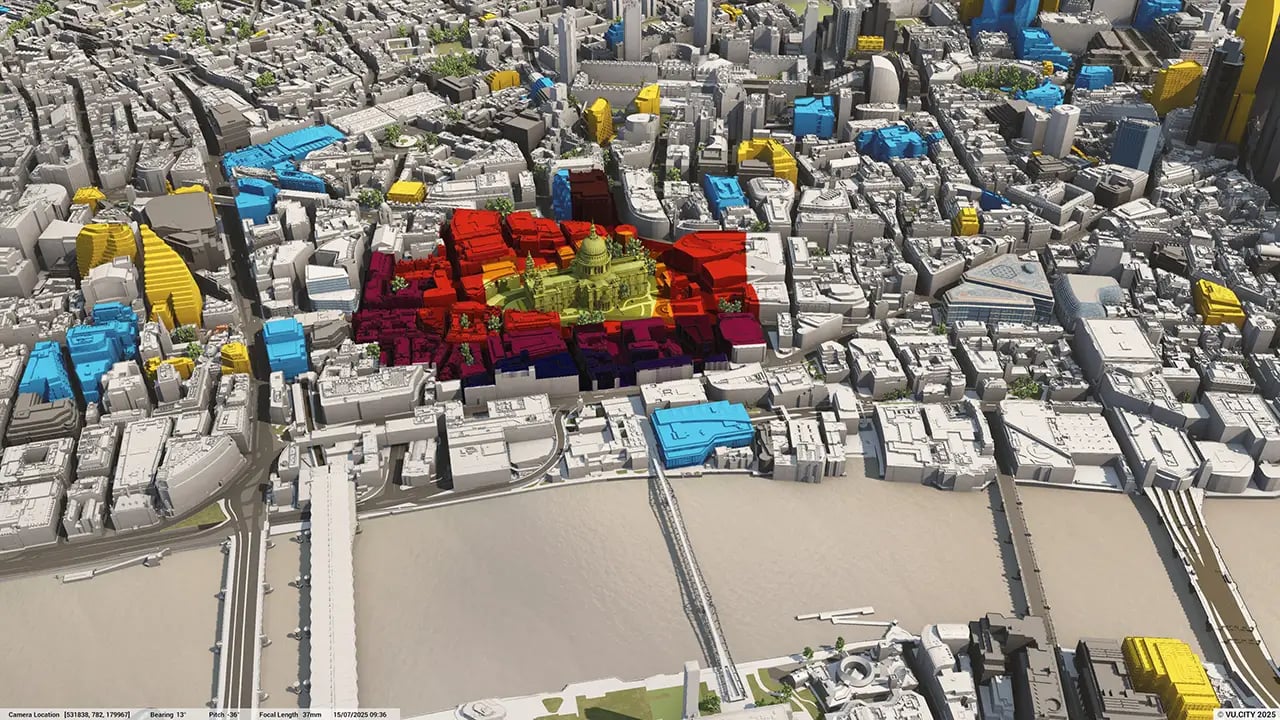
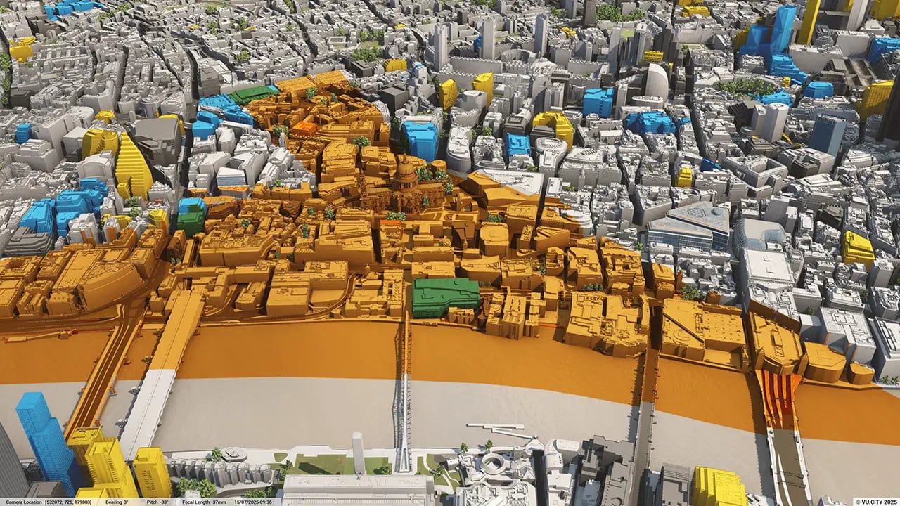
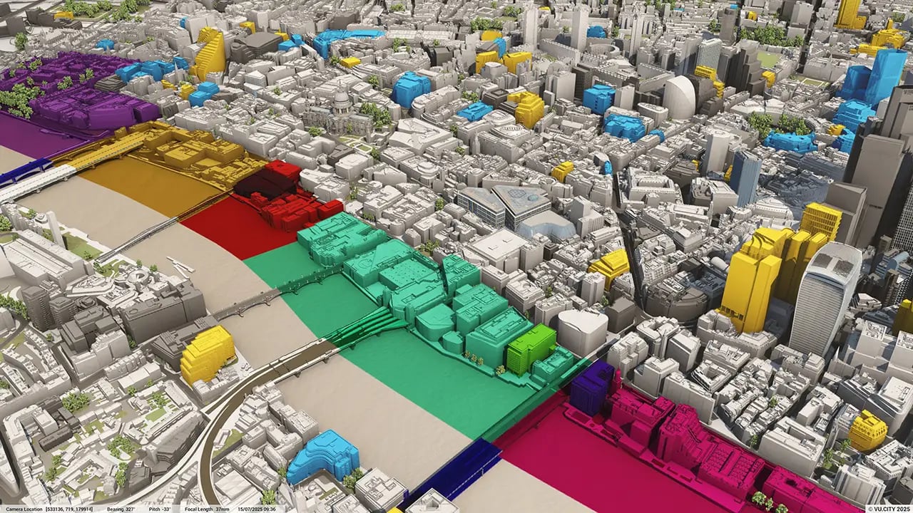

The Greater London Authority's (GLA) London Plan sets the city’s planning framework with policies relating to the massing, density and height of new developments. These apply across every borough and a 3D digital platform, such as VU.CITY, can demonstrate the much-needed context and impact of every new project in a visual and easily digestible way.
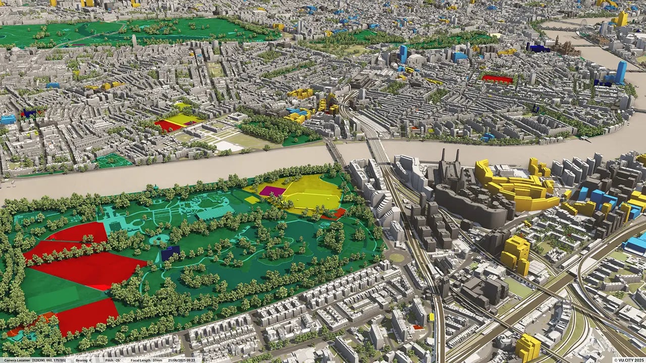
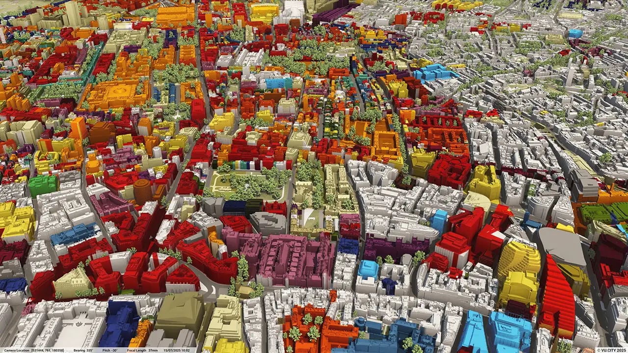
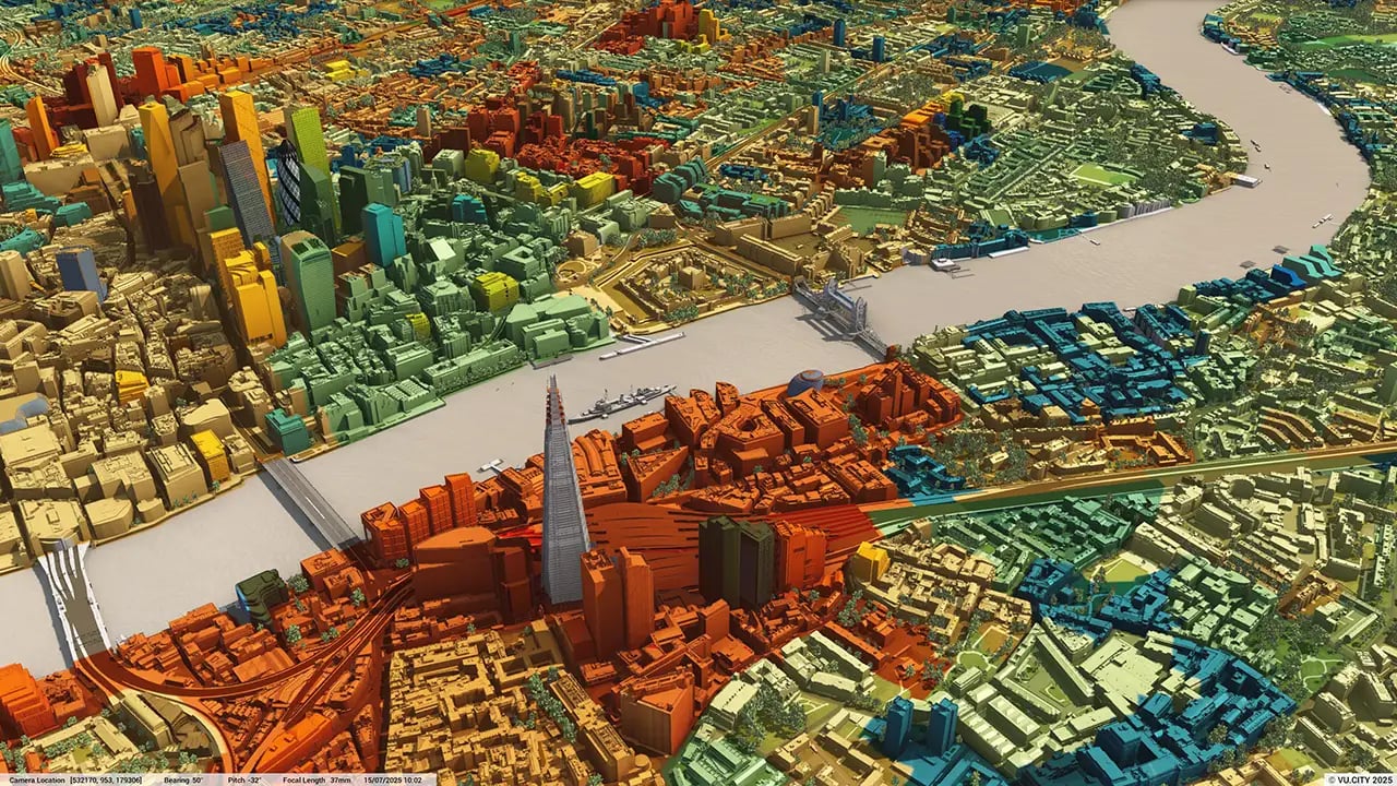
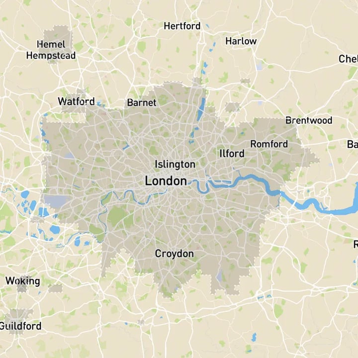
VU.CITY London is the largest and most accurate interactive model of the capital—built to support better, faster, and more cost-effective decisions across the built environment. Covering all 1,619 sq km of London to 15cm accuracy, it combines powerful functionality with rich data to help you explore, assess, and deliver projects with confidence.
Over 80% of London boroughs already use VU.CITY: improving pre-app through open, transparent conversations about density and height; giving planning submissions and committees better insight on how a scheme will work in context; and allaying anxieties by helping citizens understand a scheme’s impact and merits in public consultations.
Architects such as Foster + Partners, BDP, Allford Hall Monaghan Morris, Bennetts Associates and Farrells have also seen the many benefits of using VU.CITY on projects. VU.CITY London has helped them improve communications with clients, win contracts, and create an inclusive narrative with all stakeholders – local authorities, project teams, politicians and communities – on how schemes will work and succeed.
Trusted by 6,000+ users across 26 cities
Architects, developers, local authorities, urban planners, and more trust VU.CITY to help achieve their goals.
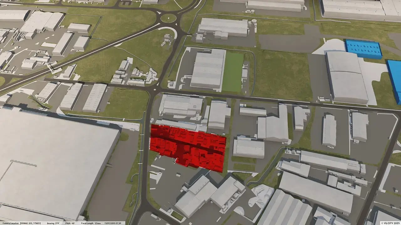
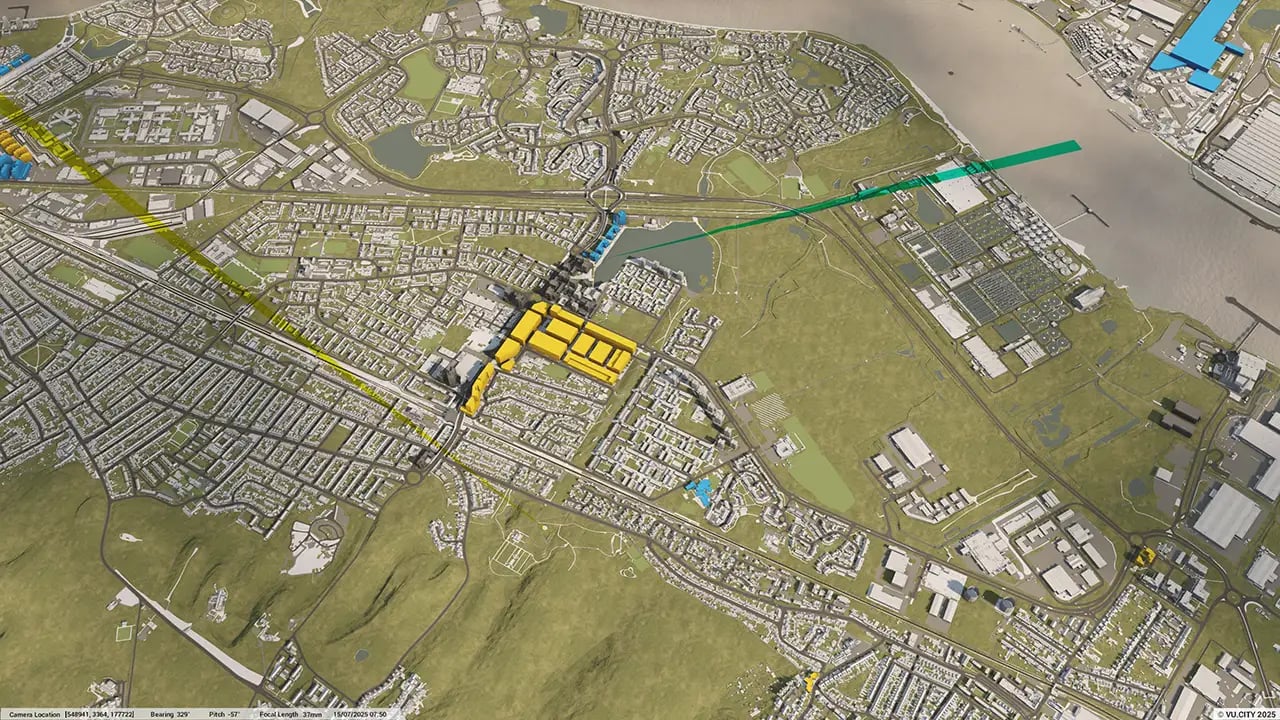
Organise and visualise your geospatial data in accurate context with our comprehensive suite of digital design and development tools.
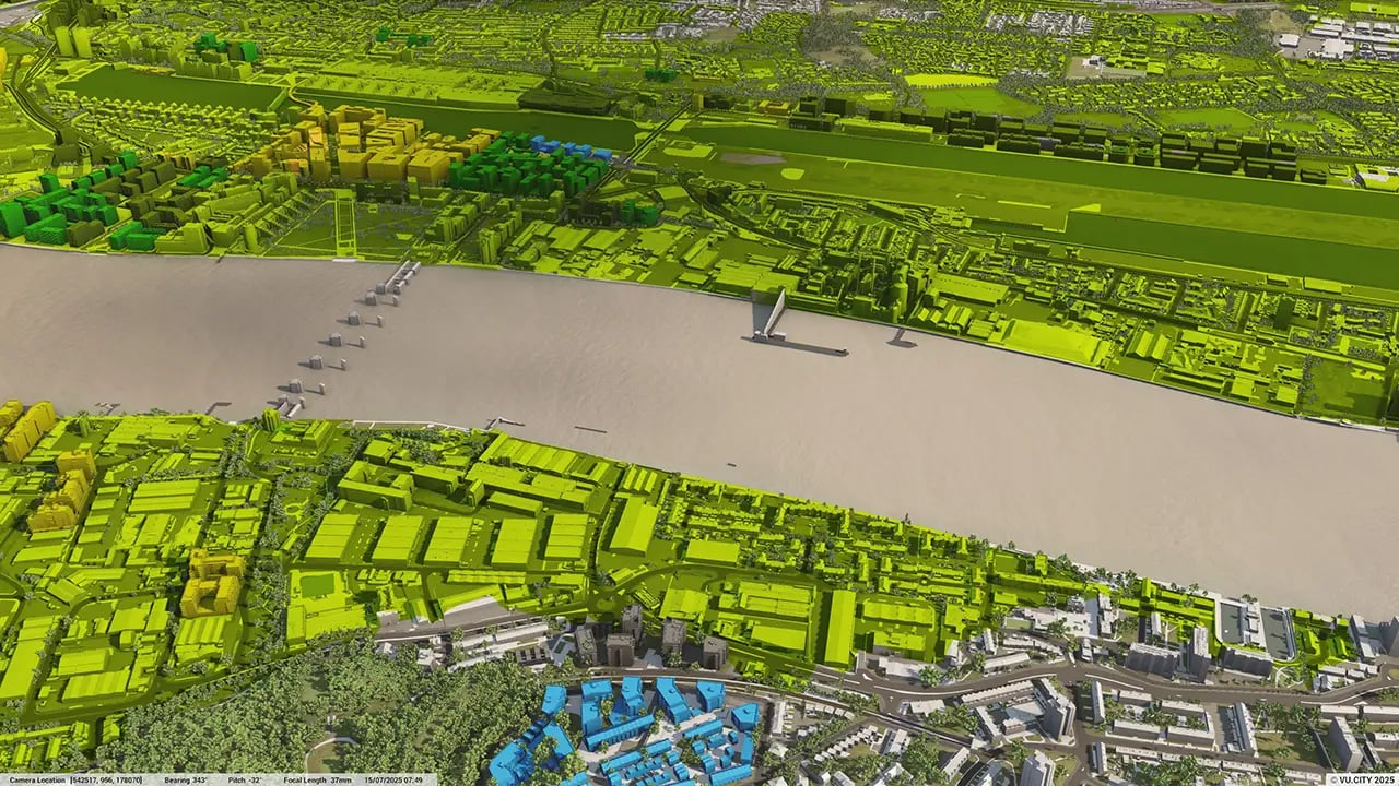
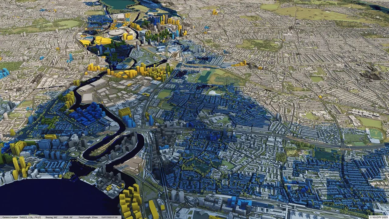
VU.CITY London: 3D Model Features and Geospatial Tools


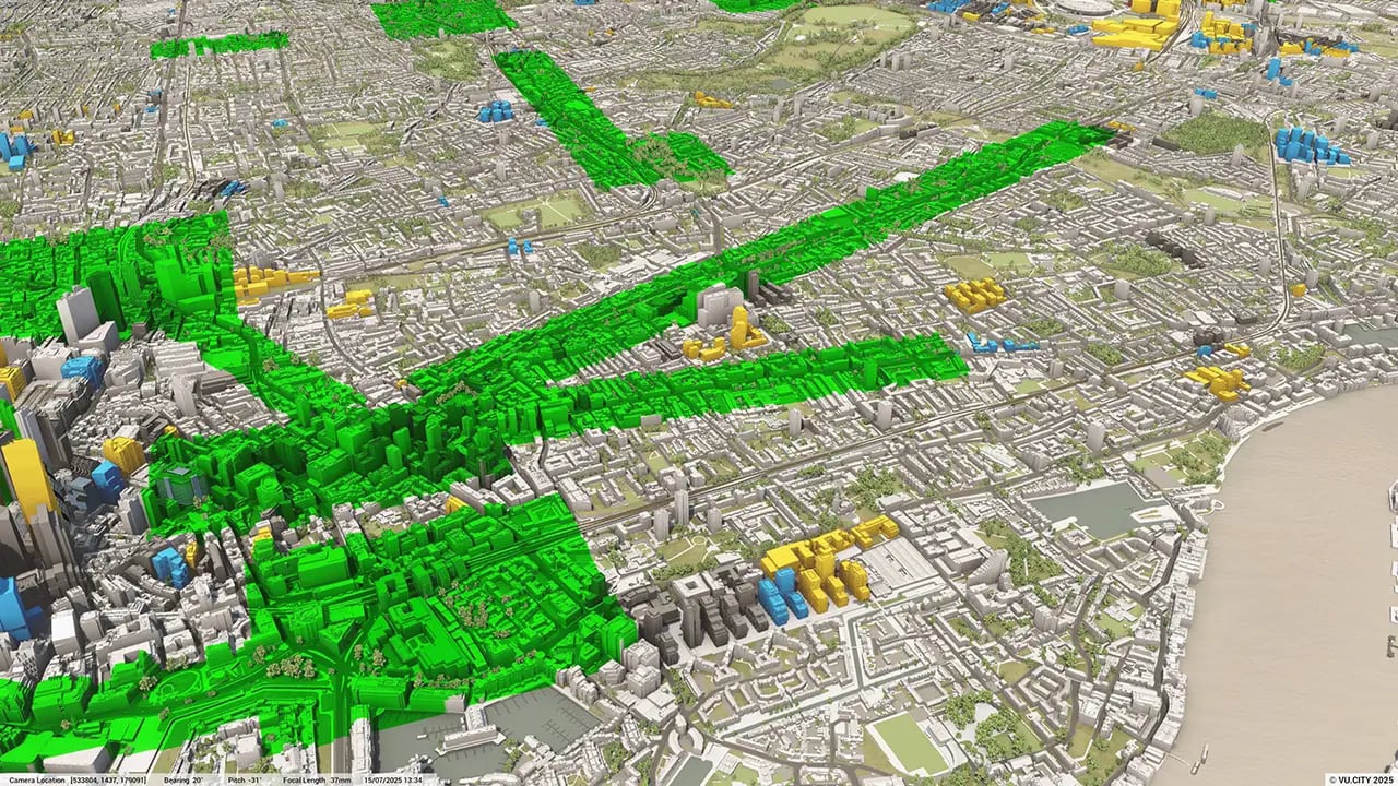
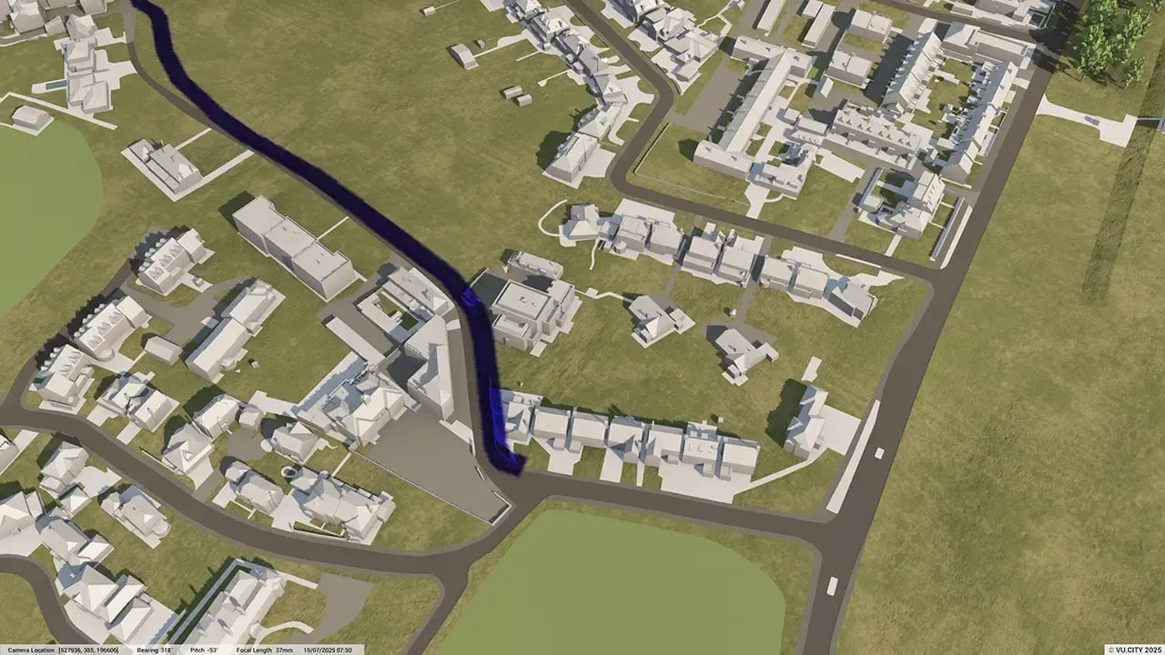
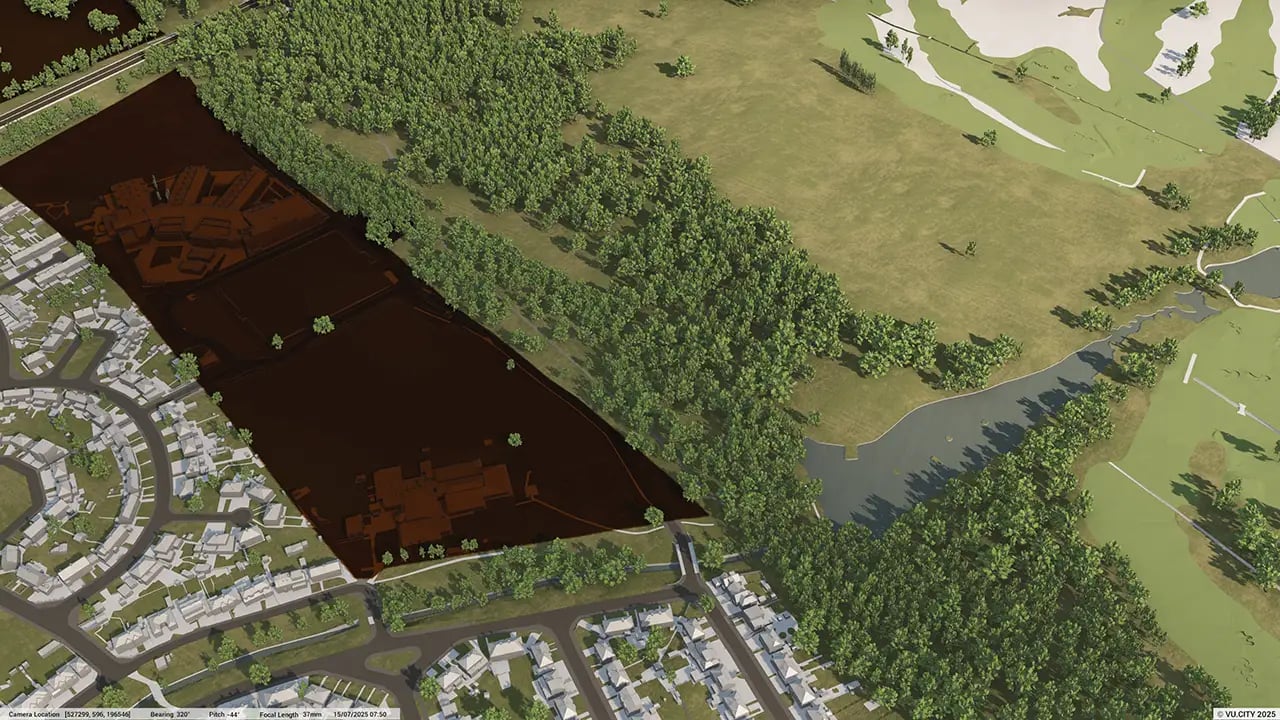
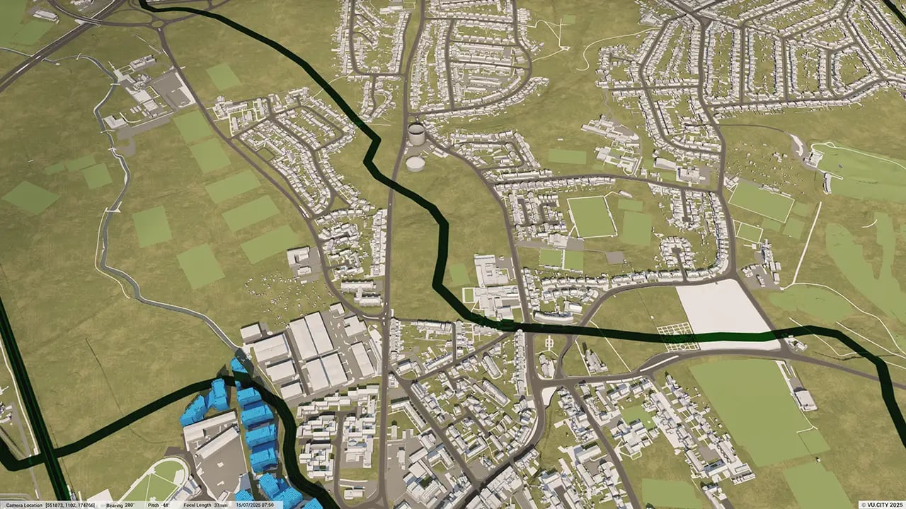
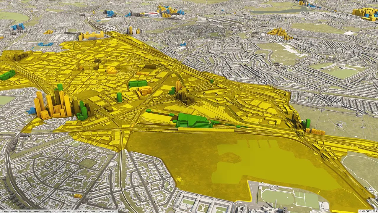
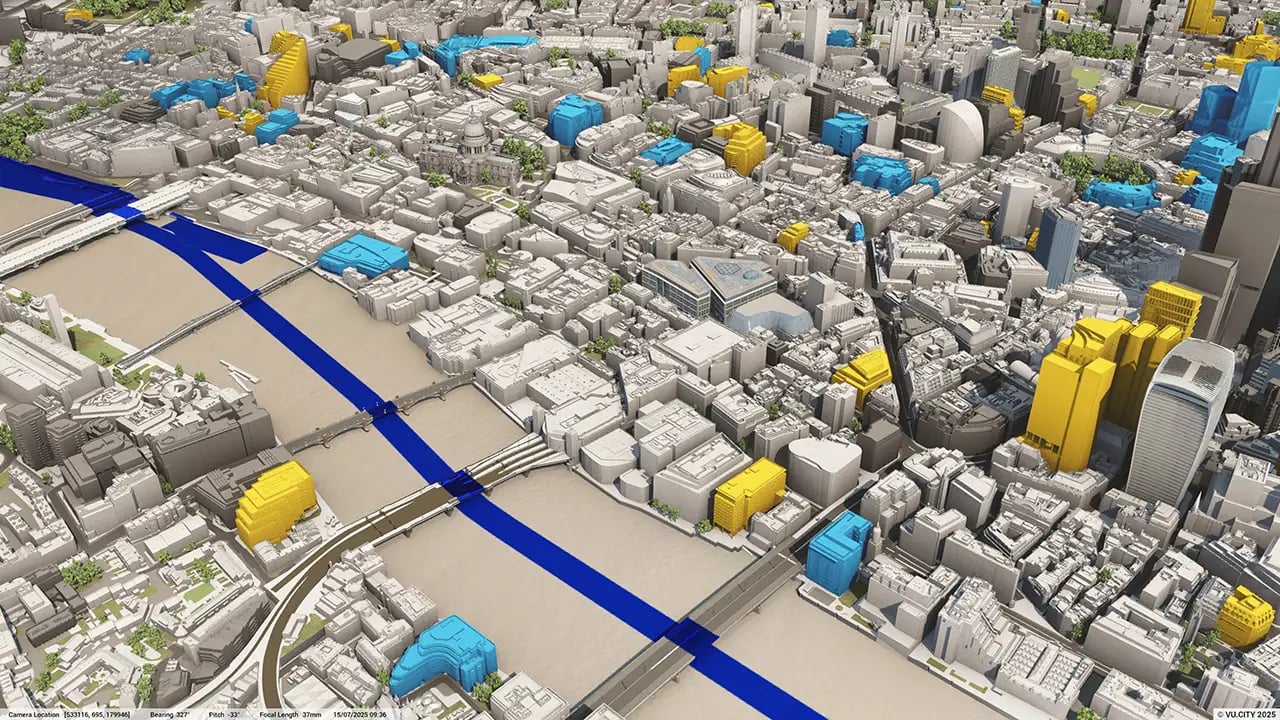
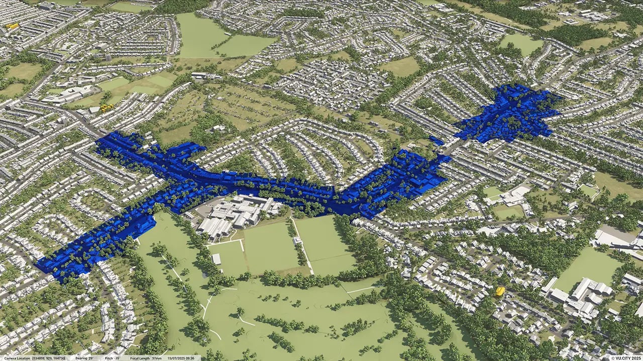
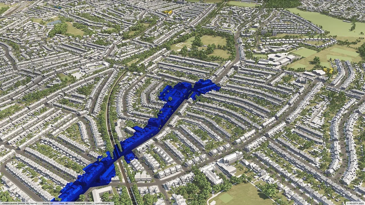
London 3D tile coverage
Whether you’re focusing on a single neighbourhood or the entire cityscape, VU.CITY provides full coverage with unmatched precision.
VU.CITY London FAQs
Here are some frequently asked questions about VU.CITY's London 3D Digital Twin and Model.
How does VU.CITY London support urban planning and development projects?
VU.CITY London leverages digital twins and advanced planning software tools to provide a detailed, interactive 3D model of the city. It enables planners, developers, and architects to visualise projects within the context of London’s existing infrastructure. By incorporating city data aggregation, the platform helps users assess contextual viability, streamline specialist analysis workflows, and enhance decision-making for project approval processes.
What data layers are available in the VU.CITY London model?
The VU.CITY London model includes diverse data layers such as transport networks, environmental impact zones, historical landmarks, building heights, and more. These layers, enriched by city data aggregation, provide critical insights to support enhanced decision-making, contextual viability assessments, and visual storytelling for project presentations.
Can VU.CITY London be used for feasibility studies?
Yes, VU.CITY London is a powerful tool for feasibility studies. It enables users to evaluate development potential, assess planning requirements, and identify challenges early in the process. This streamlines specialist analysis workflows and ensures better project compliance and enhanced decision-making throughout.
Who can benefit from using VU.CITY London?
VU.CITY London benefits urban planners, architects, developers, local authorities, and asset managers by offering interoperability with other planning software tools. Its comprehensive features support city data aggregation, contextual viability assessments, and visual storytelling, empowering stakeholders to visualise, plan, and manage projects effectively within London’s regulatory and environmental context.
How frequently is the VU.CITY London model updated?
The VU.CITY London model is regularly updated to reflect the latest changes in the city’s landscape, planning regulations, and available data. This ensures users always have access to accurate, real-time information for streamlined workflows, enhanced decision-making, and effective project planning.
Explore digital 3D geospatial solutions for the built environment
VU.CITY provides clear, powerful tools for key decision-makers across the built environment, helping them visualise and shape the future of cities with confidence and precision.
Make smarter decisions with data-driven insights, from infrastructure to sustainability.
Unlock the power of Generative AI for optimal design and streamlined decision-making.
Bring your designs to 3D life with state-of-the-art modelling tools.
Collaborate seamlessly across studies, planning, and design.
Utilise advanced 3D models and a data-driven approach with our flexible ZTV service.
Bring Your Vision to Life with a 3D Flythrough Video.
26 UK & International Cities
Over 3,000+ sq km accurate to 15cm | Tools to scope, create & collaborate on designs
Shape Tomorrow’s Cities, Today.
Begin Your Free Trial Now.
- 1
- 2
- 3

