
Dacorum 3D Model
VU.CITY Dacorum saves time and money for professionals involved in the design, planning and development of the built environment.
Our accurate and interactive 3D digital twin model of Dacorum is enriched with data and tools to help you collaborate and analyse the real world impact of proposals, allowing you to make better design, and planning decisions, faster.
-
30DATA LAYERS
-
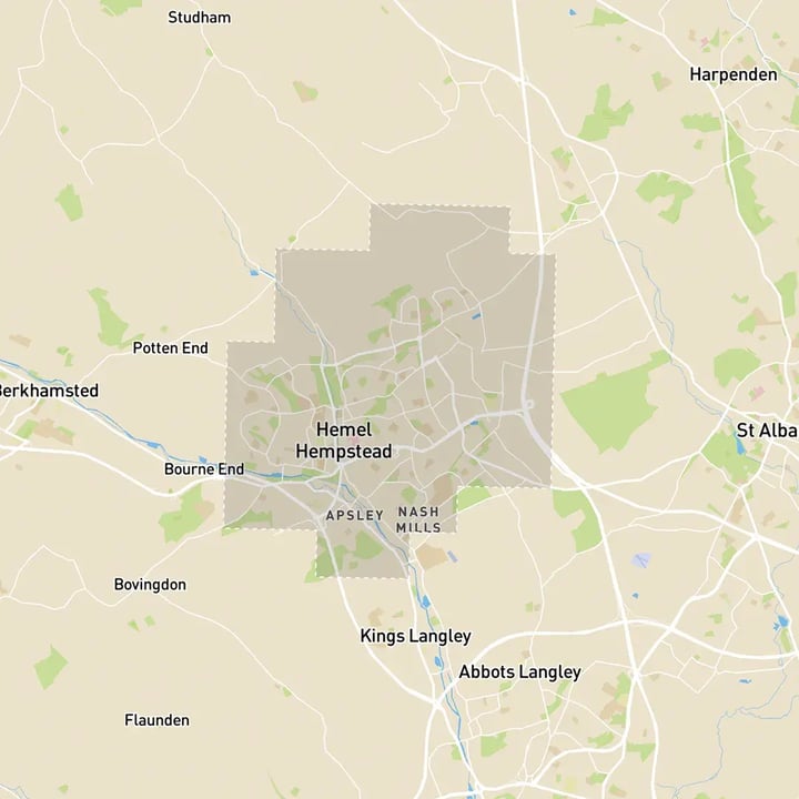
43 sq kmMODELLED TO 15CM ACCURACY
-
36Consents approved VU.CITY
-
36,617TREES, ACCURATE HEIGHT AND CANOPY

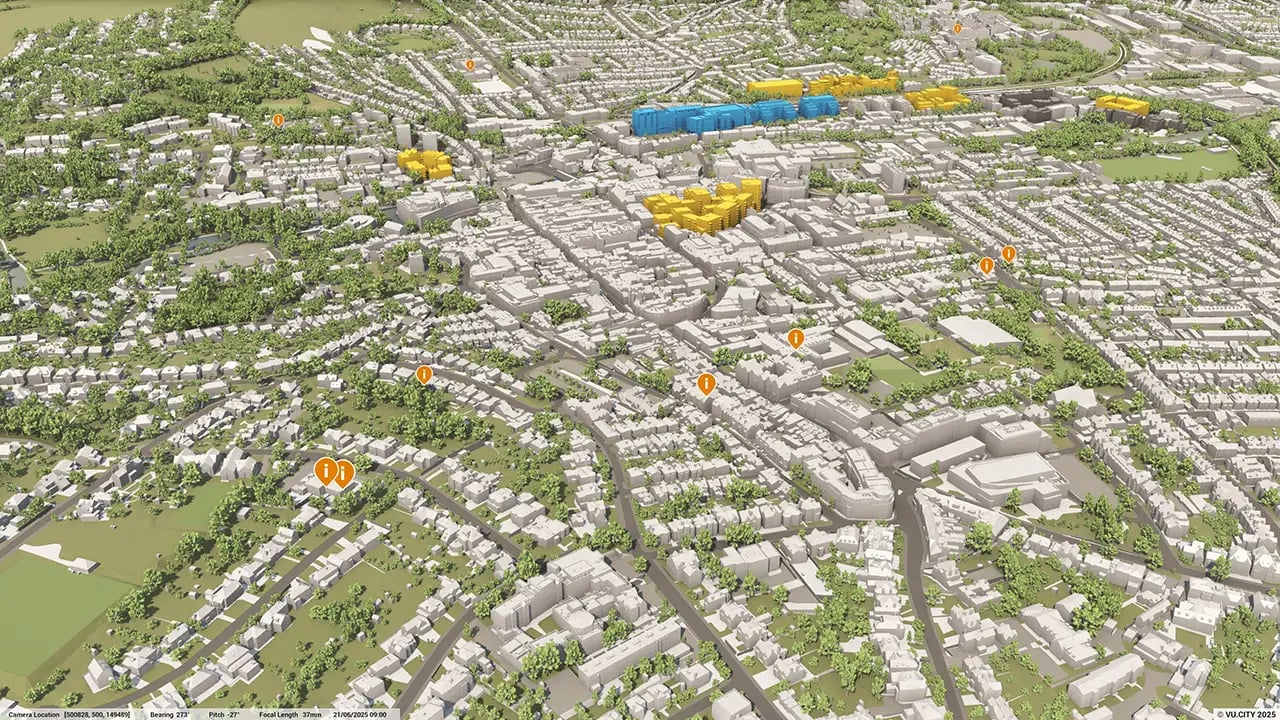
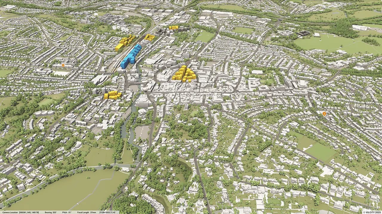
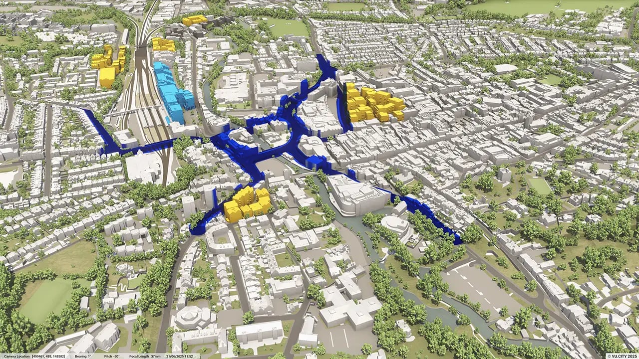
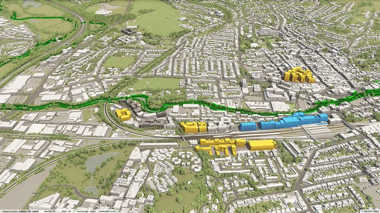
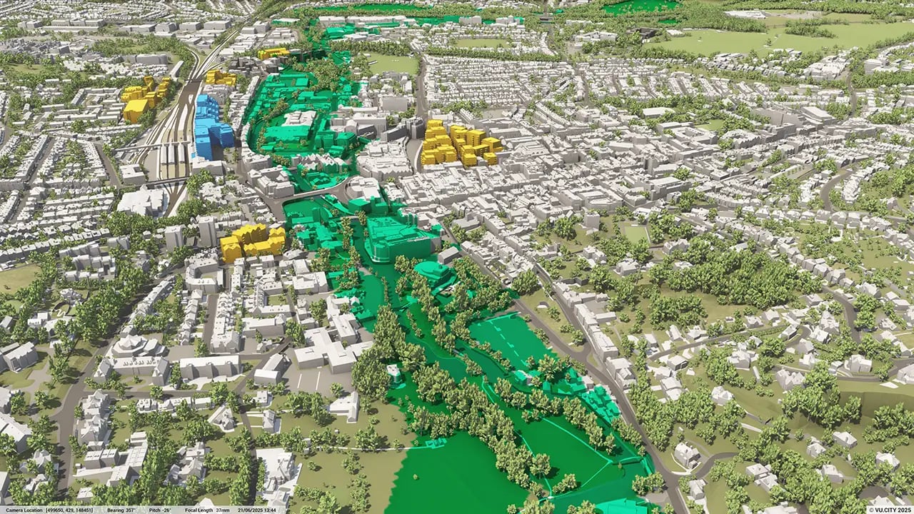
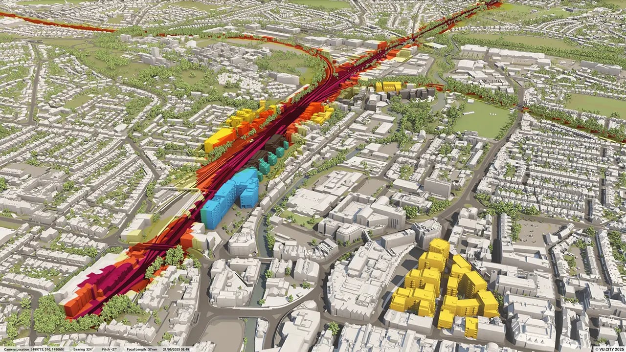
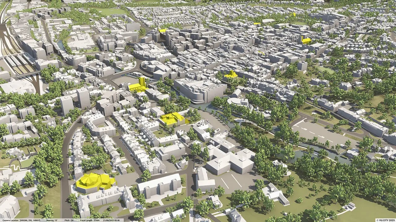
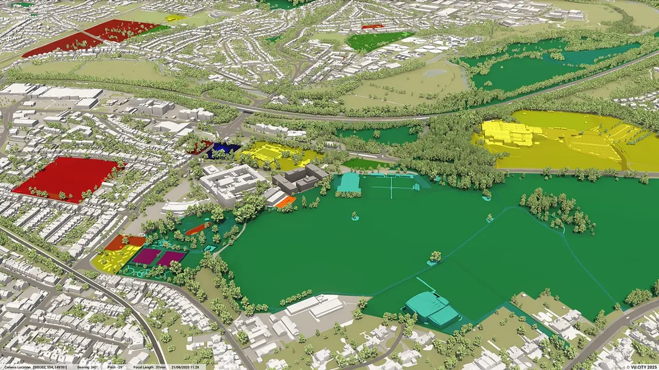
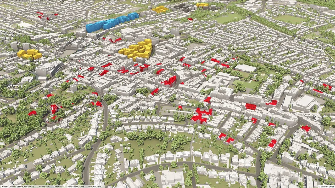
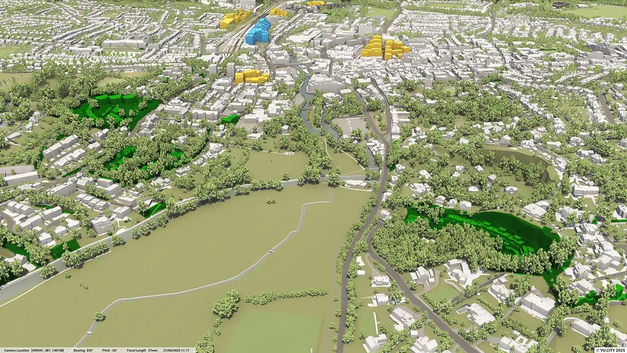
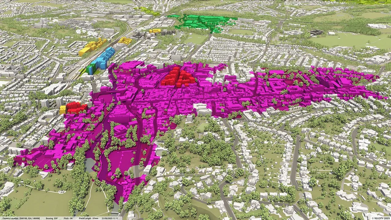
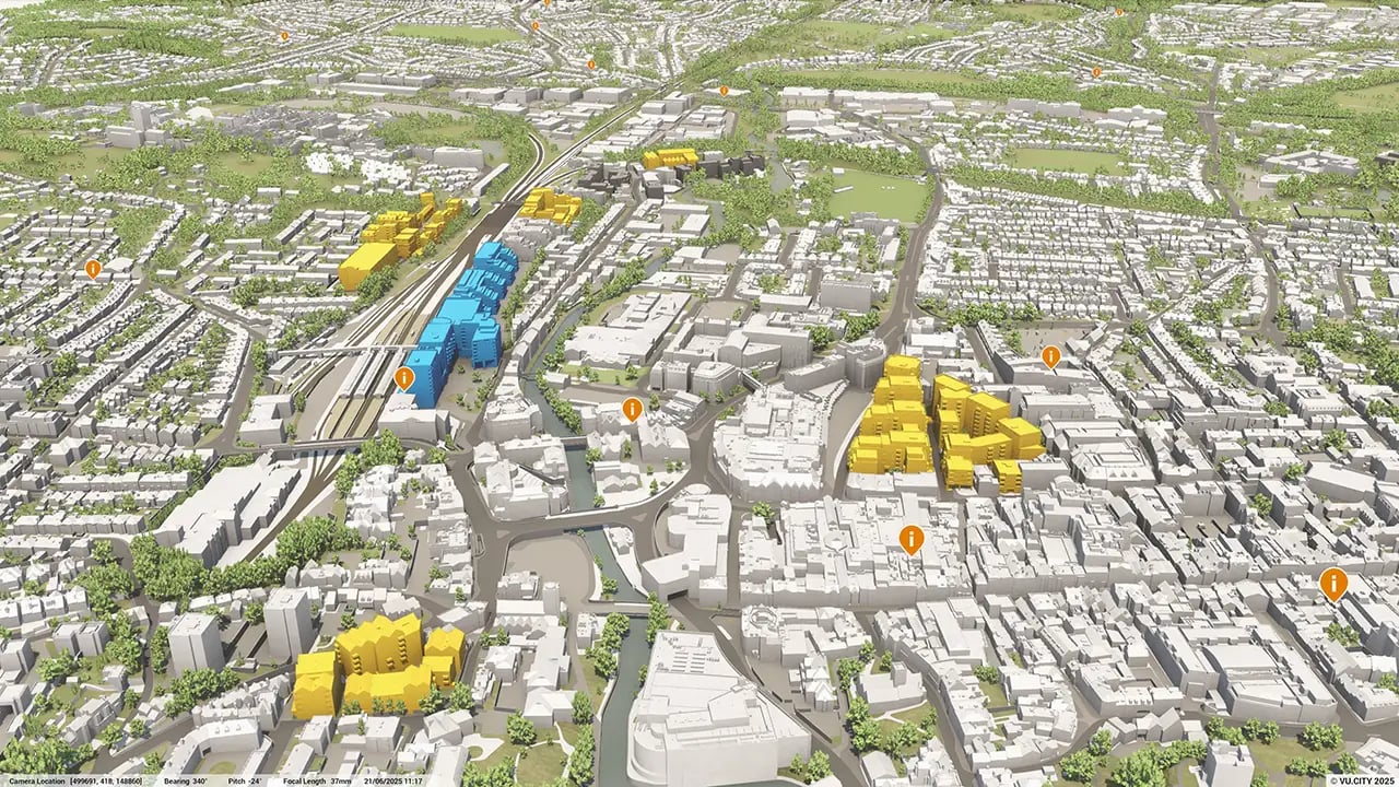
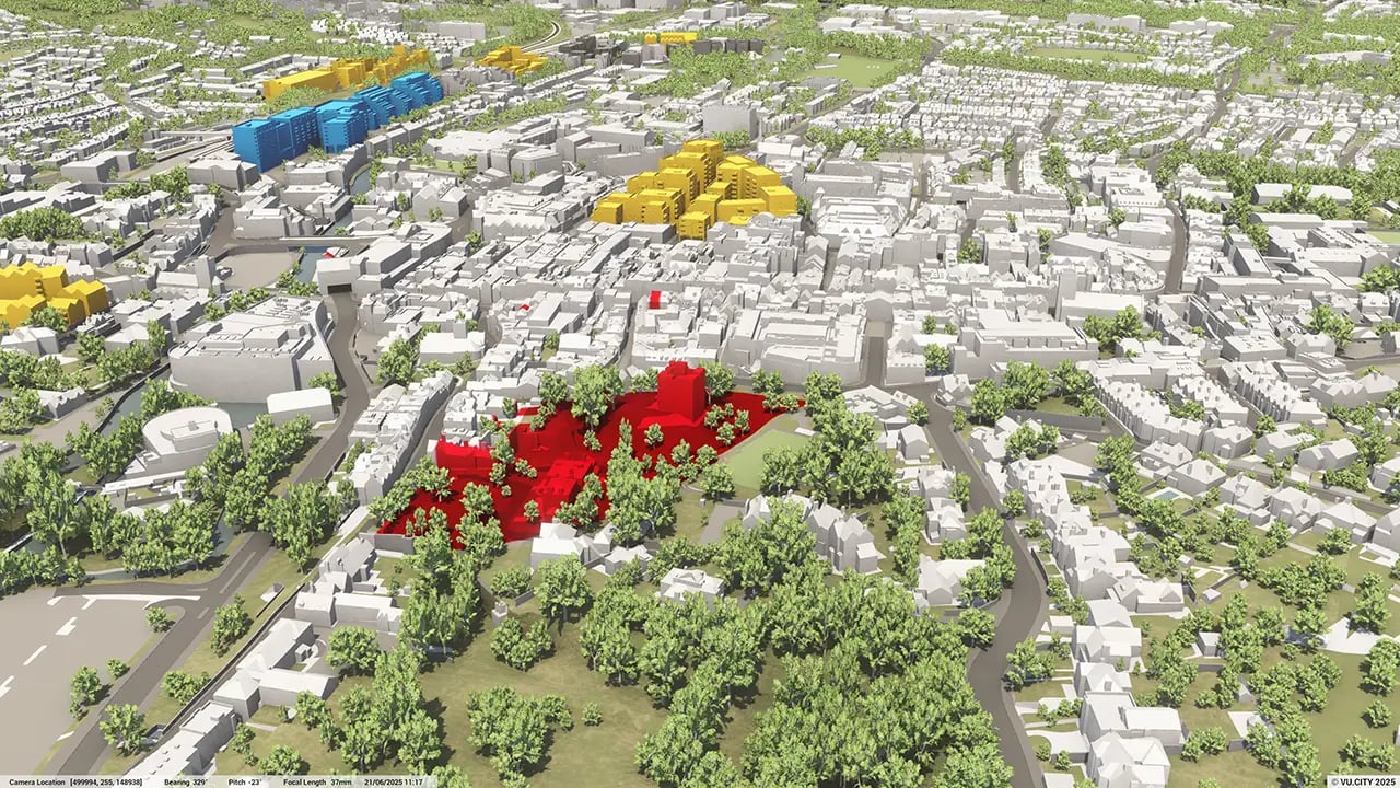
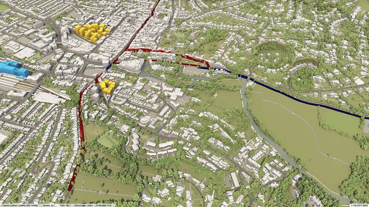
VU.CITY Dacorum centres around Dacorum and its surrounding area. The quaint town sits in the Dacorum district of Hertfordshire and was developed after the Second World War, with the original part still referred to as the Old Town. It’s renowned for its Magic Roundabout, the pedestrianised Marlowes shopping centre, and the beautiful Jellicoe Watergardens alongside the New Town and the River Gade.
The town’s future vision is bold. Through the Hemel Garden Communities programme, new homes are being delivered, acting as a catalyst for Dacorum’s transformation - building on the New Town’s legacy.
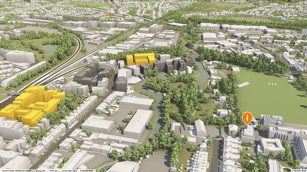
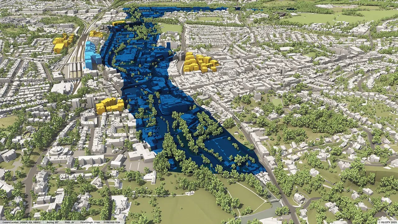
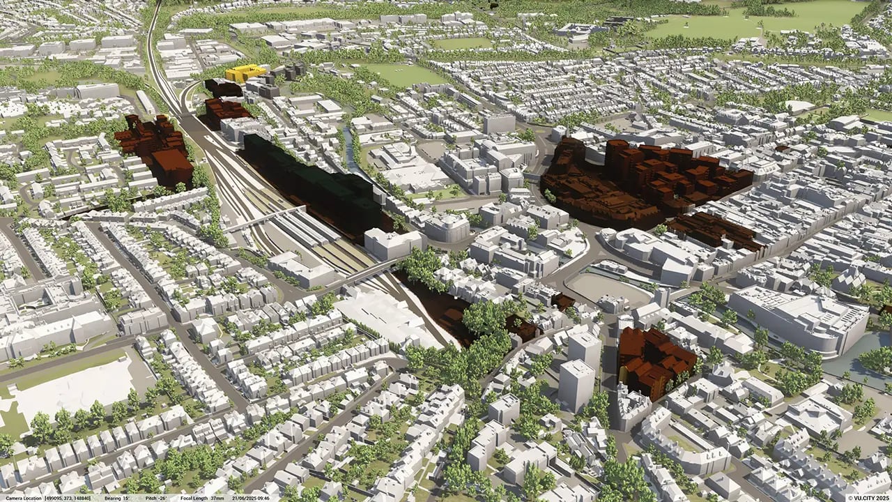
Significant change is expected in the coming years, particularly at major regeneration sites near the Town Centre and Two Waters Area. Dacorum Borough Council has been leveraging VU.CITY to facilitate high-quality developments and smarter planning decisions.
VU.CITY Dacorum enables stakeholders in the built environment to visualise and shape these changes, designing and evaluating proposals within their real-world context - ensuring sensitivity to Dacorum’s diverse urban character, shaped by its evolution and heritage.
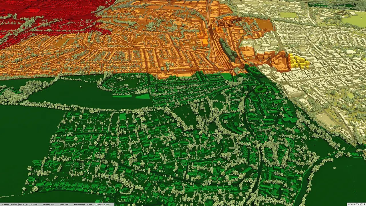
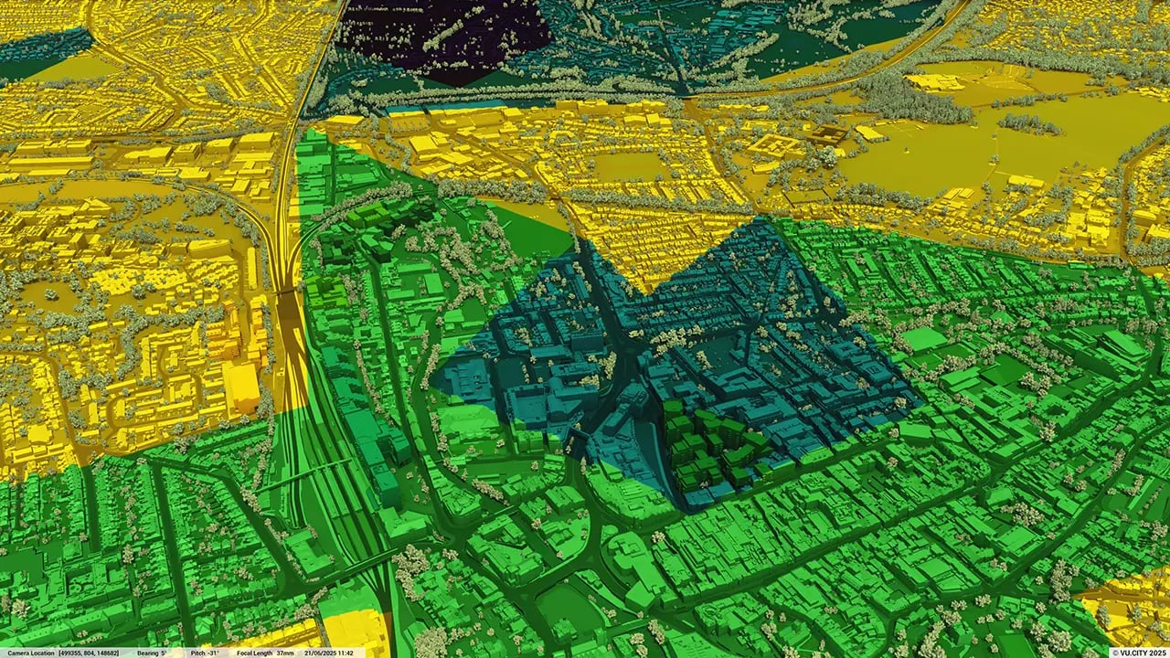
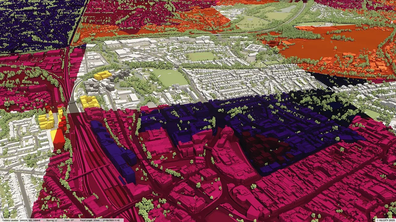
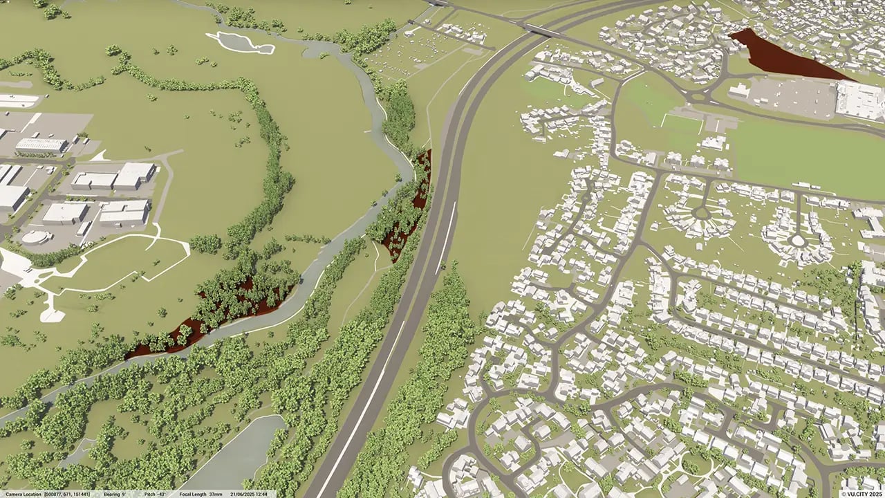
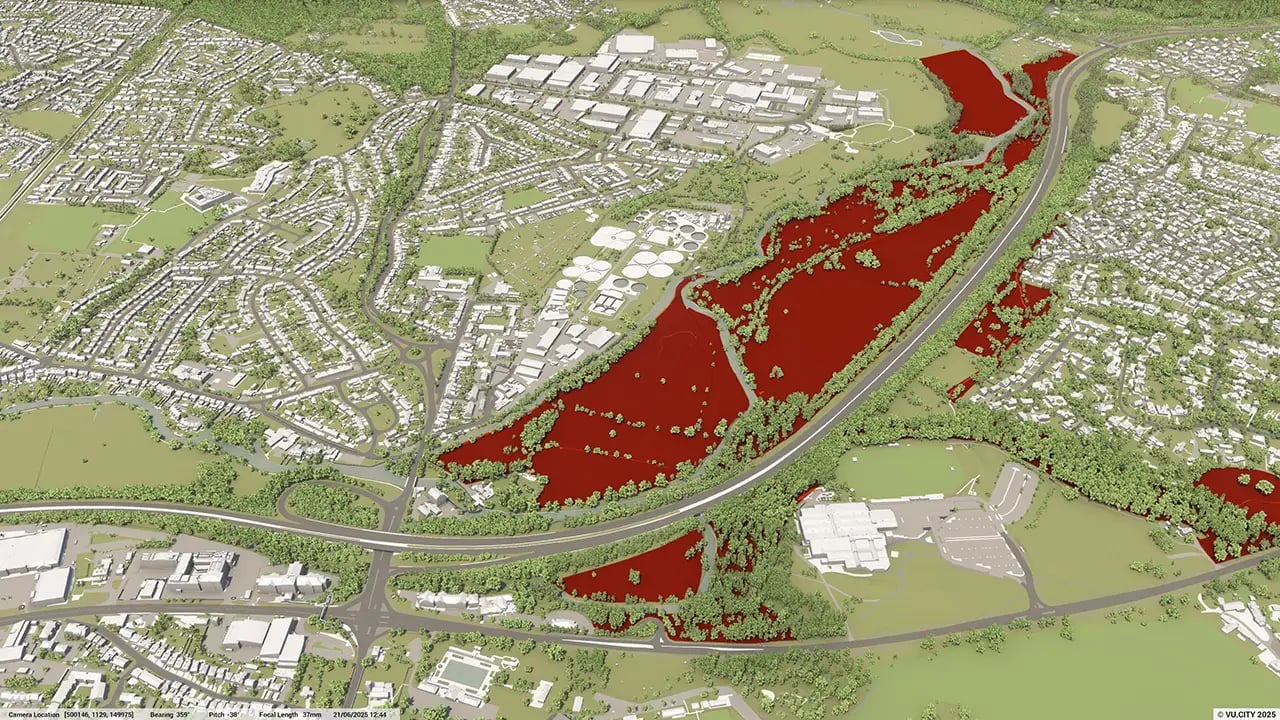
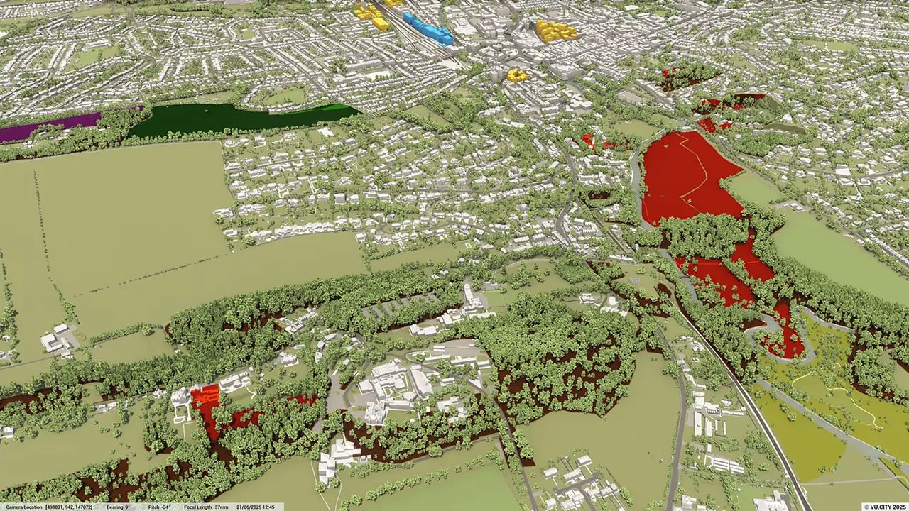
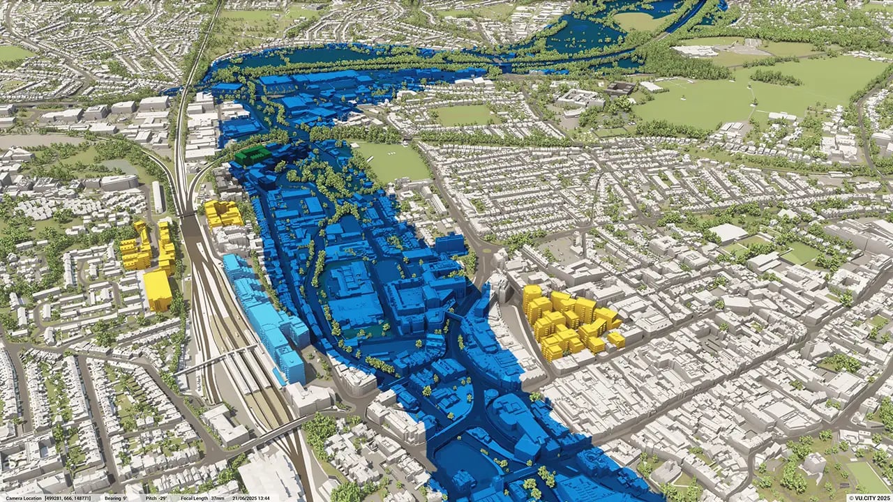
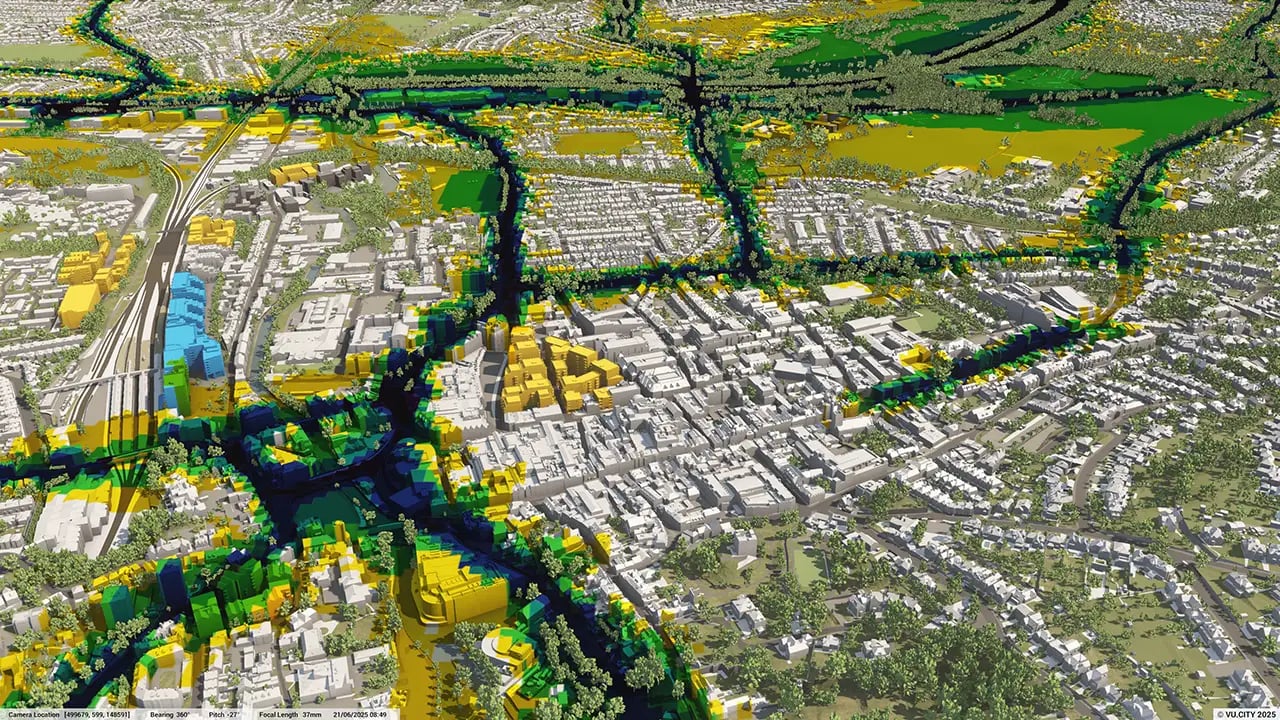
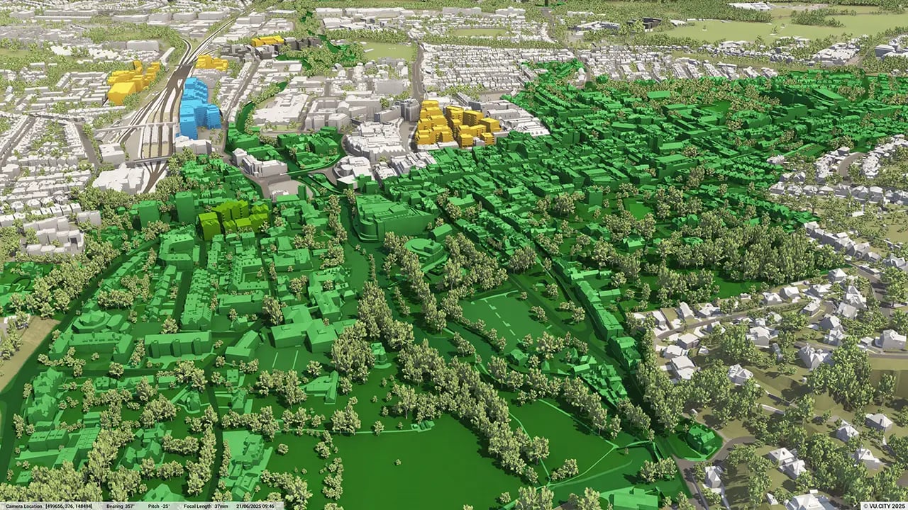
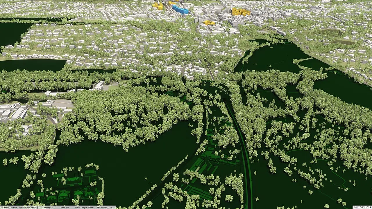
Dacorum data layers
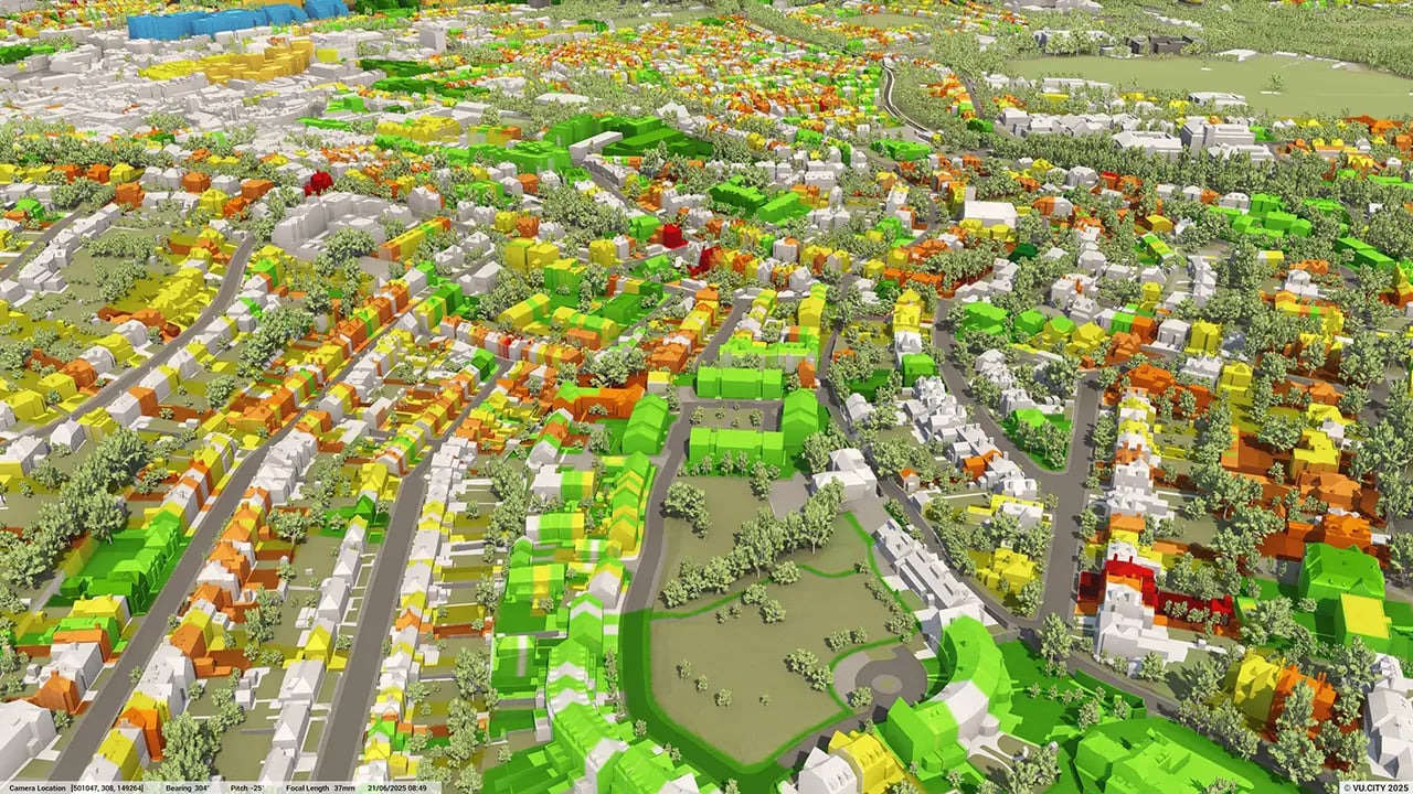
From transportation and zoning to environmental factors, VU.CITY Dacorum 3D model data layers provide essential insights for more informed and confident decision-making.
.webp?width=1280&height=720&name=vucity-guildford-12_guildford_environment_biodiversity_sssi%20(sites%20of%20special%20interest).webp)
.webp?width=1280&height=720&name=vucity-guildford-18%20guildford_epc%20non-domestic%20(grey%20scale).webp)

Trusted by 6,000+ users across 26 cities
Architects, developers, local authorities, urban planners, and more trust VU.CITY to help achieve their goals.
Organise and visualise your geospatial data in accurate context with our comprehensive suite of digital design and development tools.
VU.CITY Dacorum: 3D Model Features and Planning Tools


Dacorum 3D tile coverage
Whether you’re focusing on a single neighbourhood or the entire cityscape, VU.CITY provides full coverage with unmatched precision.
VU.CITY Dacorum FAQs
Here are some frequently asked questions about VU.CITY's Dacorum 3D Digital Twin and Model.
How can the VU.CITY Dacorum model support sustainable growth and regeneration in the area?
The model provides tools to visualise development impacts, helping planners and developers align with Dacorum’s regeneration goals. Features like massing analysis and sunlight studies support sustainable planning, especially in key areas like the Town Centre and Two Waters.
Can I use the Dacorum model to assess different design options quickly?
Yes, the model allows users to test multiple massing options and General Employment Area (GEA) potential early in the planning process, making it easier to explore and refine designs suited to Dacorum’s unique landscape and urban character.
How does the VU.CITY Dacorum model help with stakeholder and community engagement?
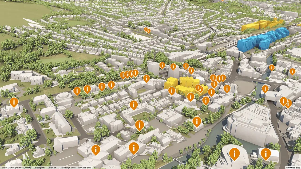
The model’s Presenter Tool, camera studies, and annotation features enable users to create compelling visuals and share them with stakeholders, fostering clear communication and encouraging community feedback on development projects.
What environmental and heritage data is available in the Dacorum model?
The model includes data layers such as greenbelt areas, conservation zones, listed buildings, and sunlight impact analysis. These features help users ensure new developments respect Dacorum’s environmental and historical priorities.
Who can benefit from using the VU.CITY Dacorum model?
Architects, planners, developers, and local authorities benefit from the model. It supports collaborative planning, simplifies complex projects, and helps align new developments with Dacorum’s strategic growth and conservation goals.
Explore digital 3D geospatial solutions for the built environment
VU.CITY provides clear, powerful tools for key decision-makers across the built environment, helping them visualise and shape the future of cities with confidence and precision.
Make smarter decisions with data-driven insights, from infrastructure to sustainability.
Unlock the power of Generative AI for optimal design and streamlined decision-making.
Bring your designs to 3D life with state-of-the-art modelling tools.
Collaborate seamlessly across studies, planning, and design.
Utilise advanced 3D models and a data-driven approach with our flexible ZTV service.
Bring Your Vision to Life with a 3D Flythrough Video.
26 UK & International Cities
Over 3,000+ sq km accurate to 15cm | Tools to scope, create & collaborate on designs
Shape Tomorrow’s Cities, Today.
Begin Your Free Trial Now.
- 1
- 2
- 3

