
Slough 3D Model
VU.CITY Slough saves time and money for professionals involved in the design, planning and development of the built environment.
Our accurate and interactive 3D digital twin model of Slough is enriched with data and tools to help you collaborate and analyse the real world impact of proposals, allowing you to make better design, and planning decisions, faster.
-
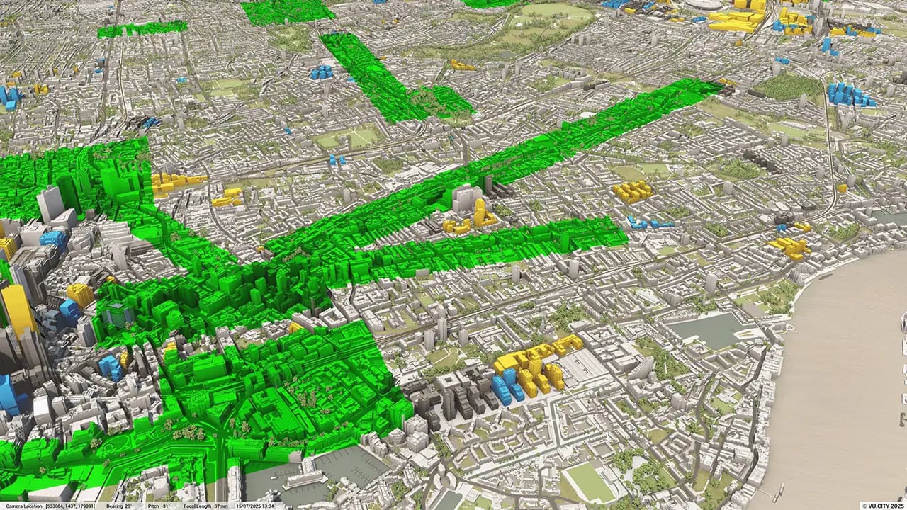
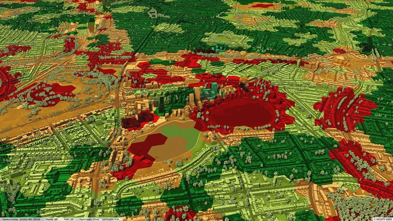
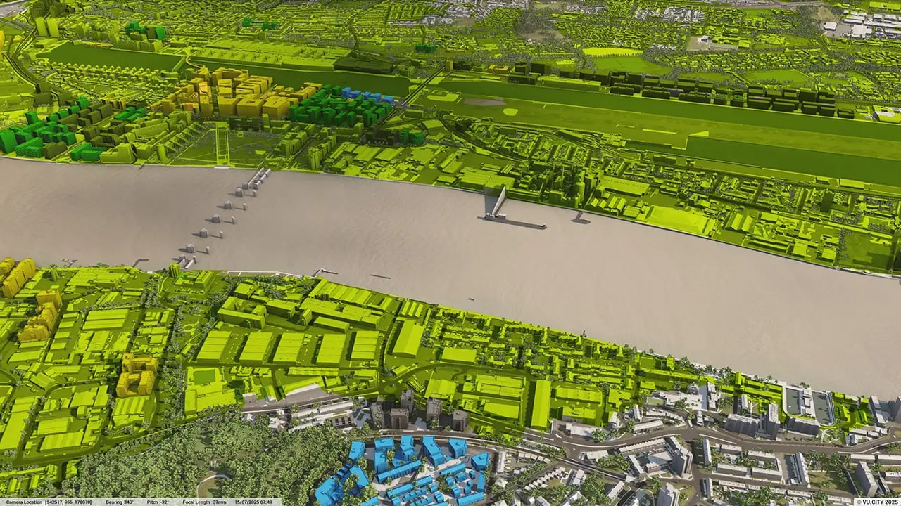
31DATA LAYERS
-
10.25 sq kmMODELLED TO 15CM ACCURACY
-
43Consents approved VU.CITY
-
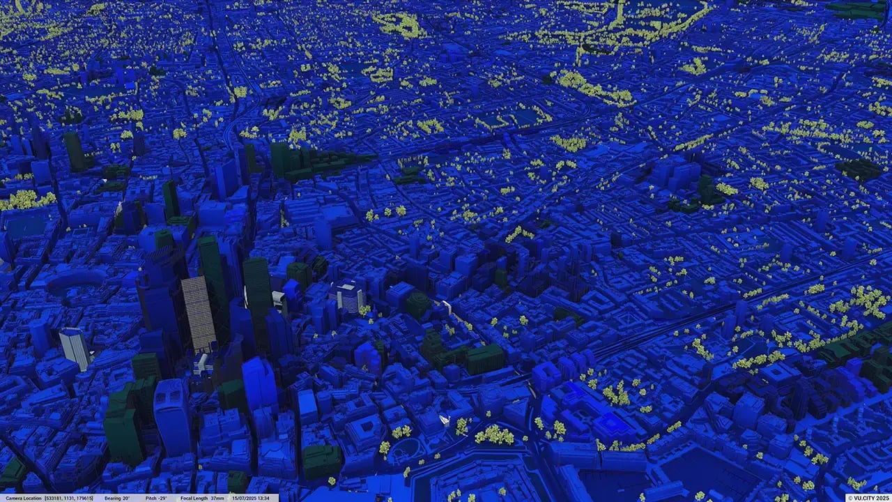
108,043TREES, ACCURATE HEIGHT AND CANOPY

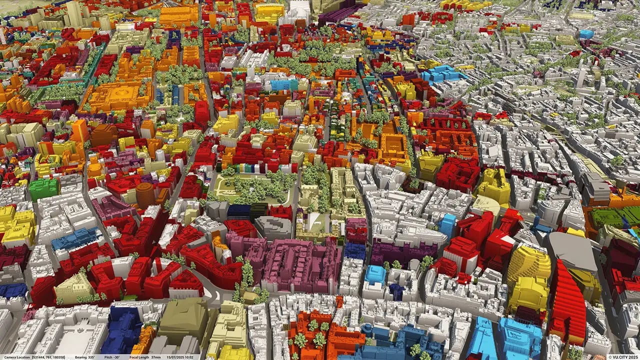
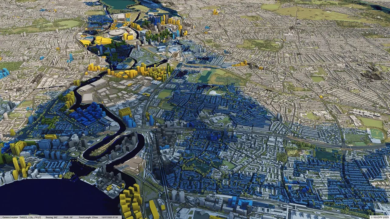
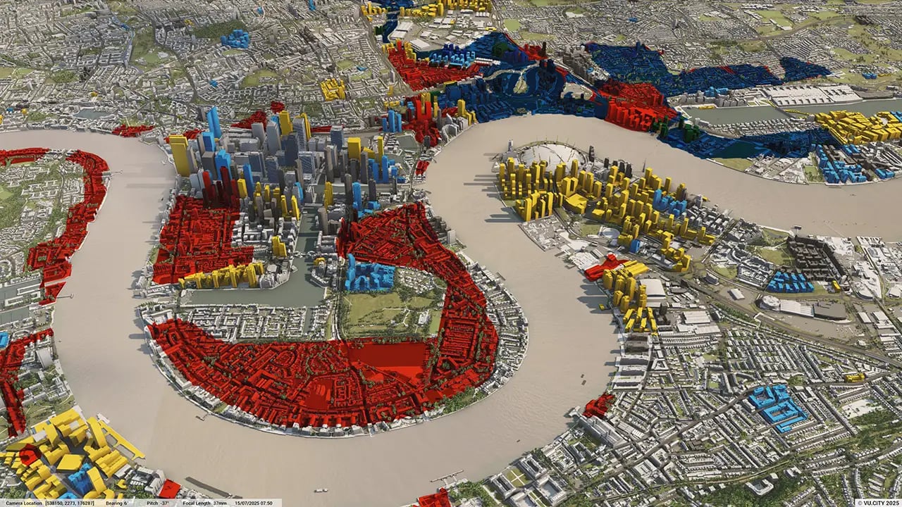
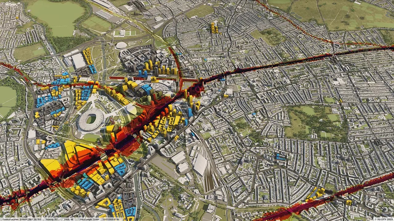
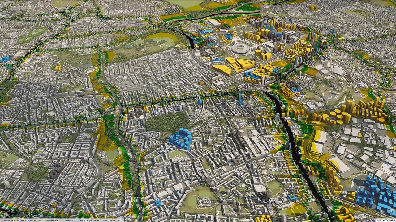
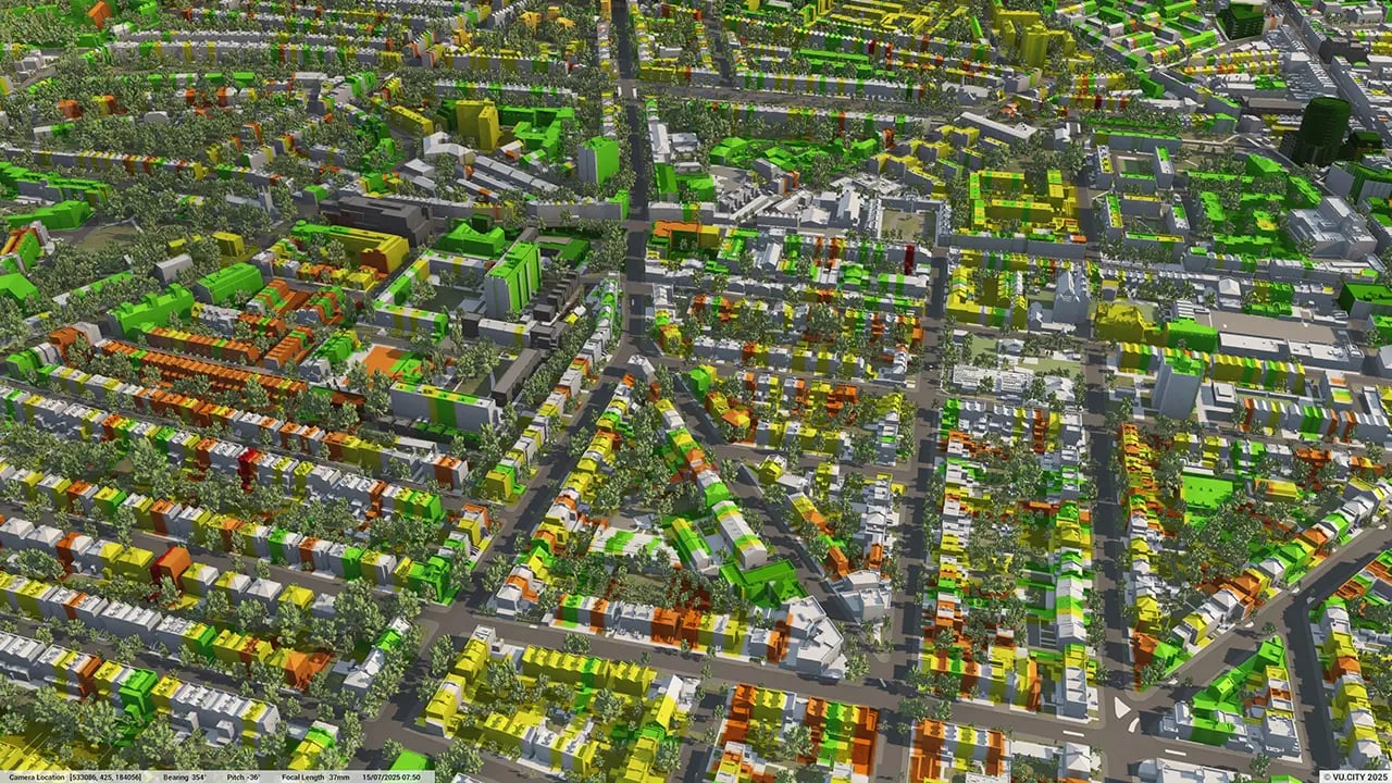
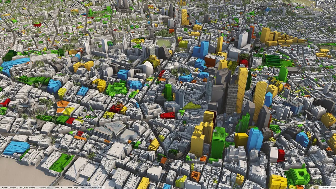
Slough data layers
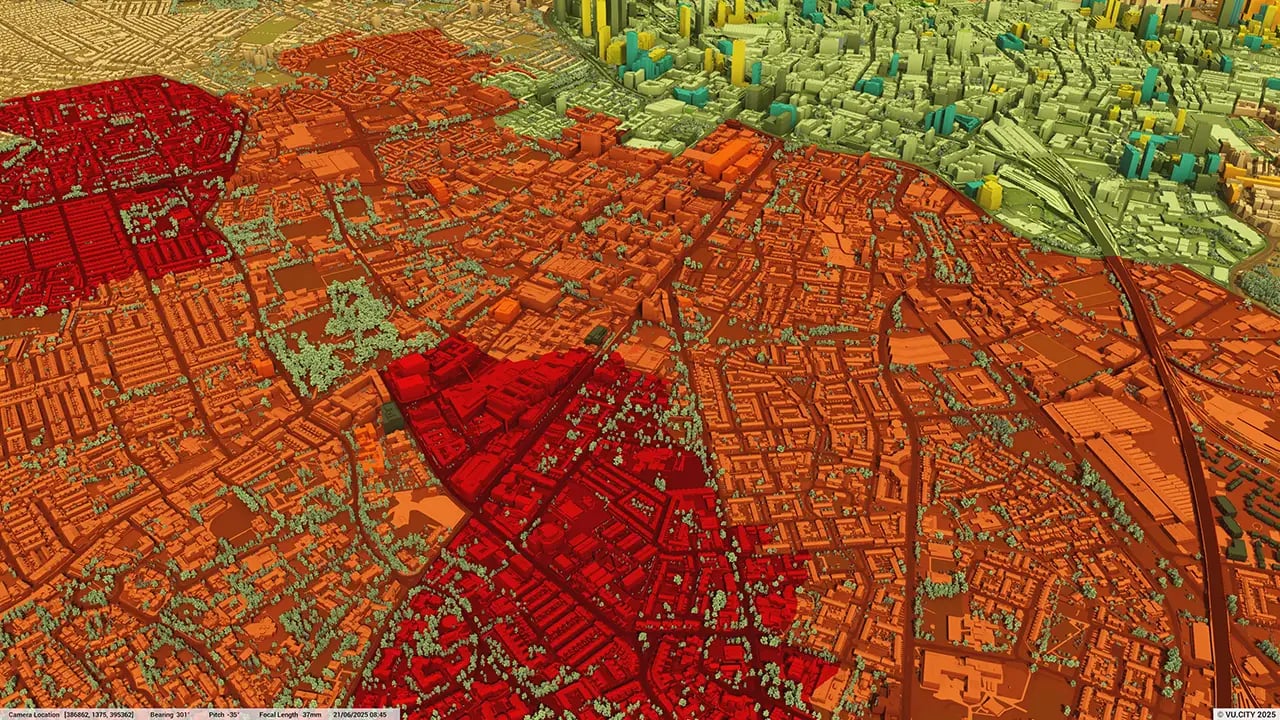
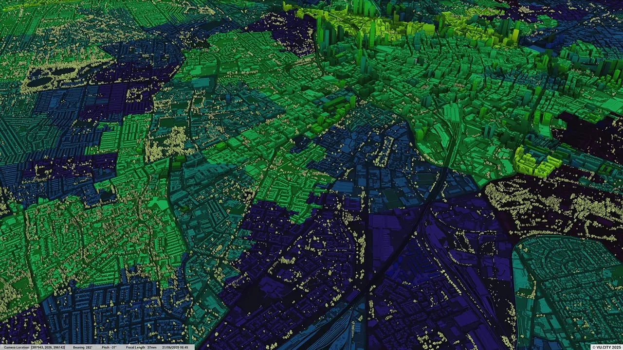
From transportation and zoning to environmental factors, VU.CITY Slough 3D model data layers provide essential insights for more informed and confident decision-making.
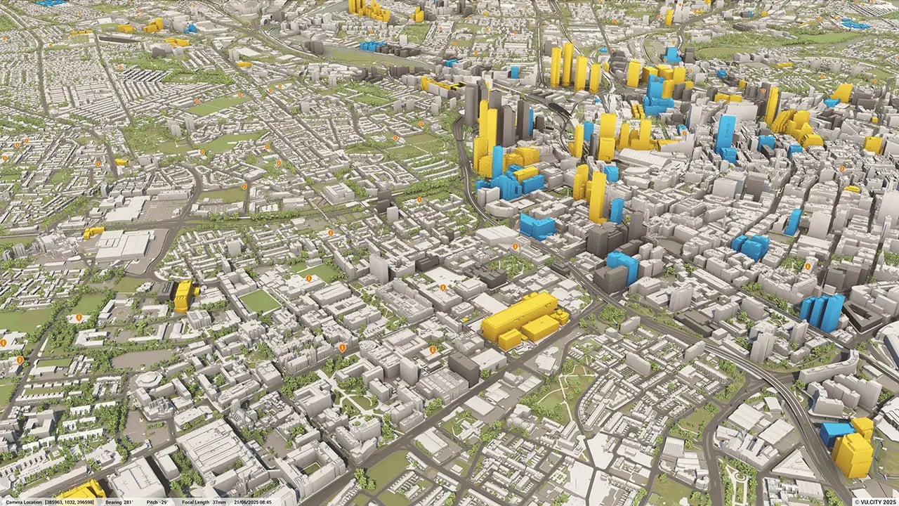


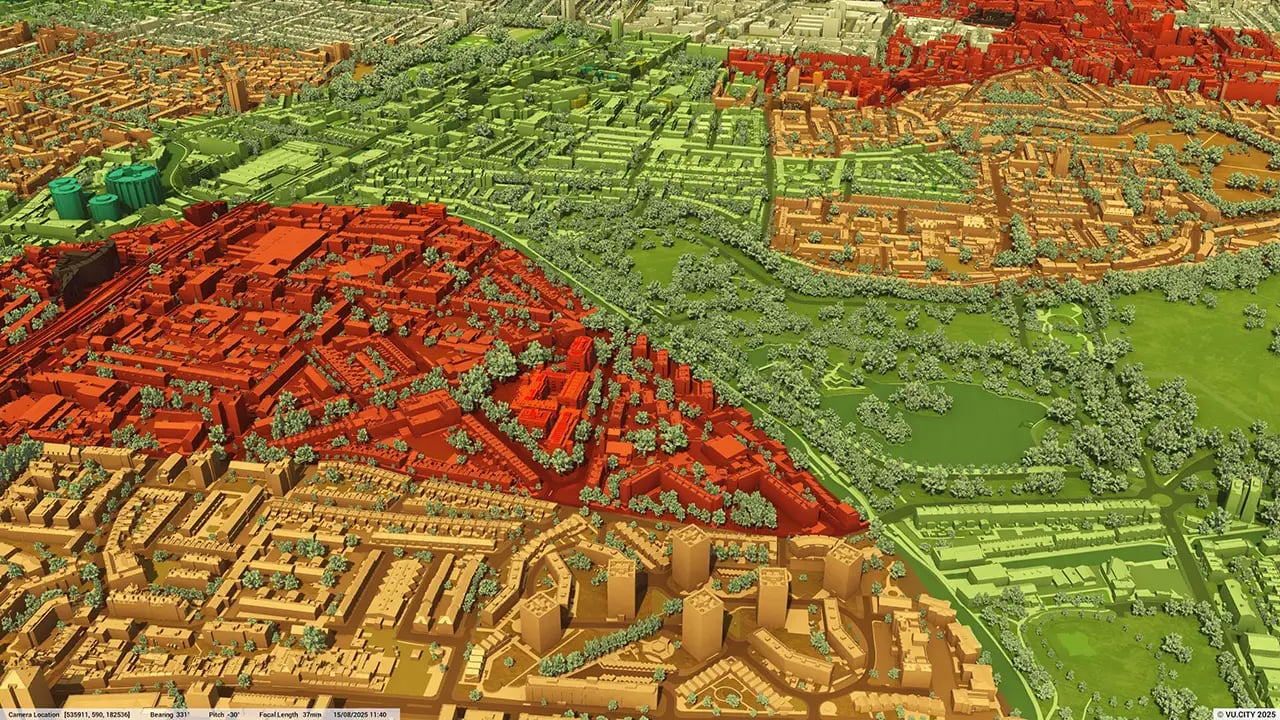
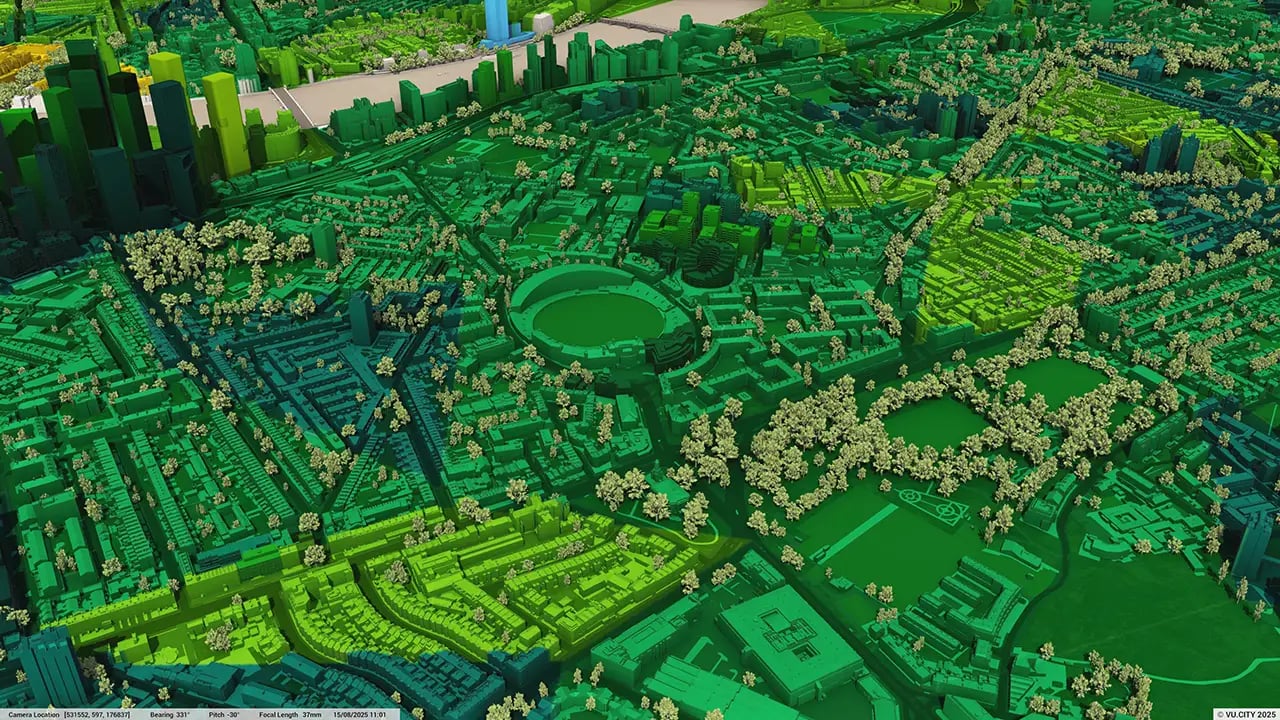
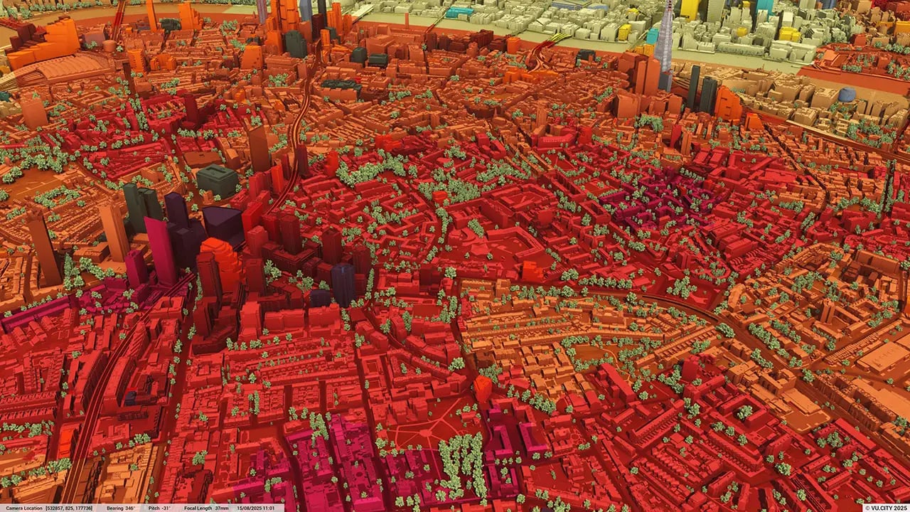
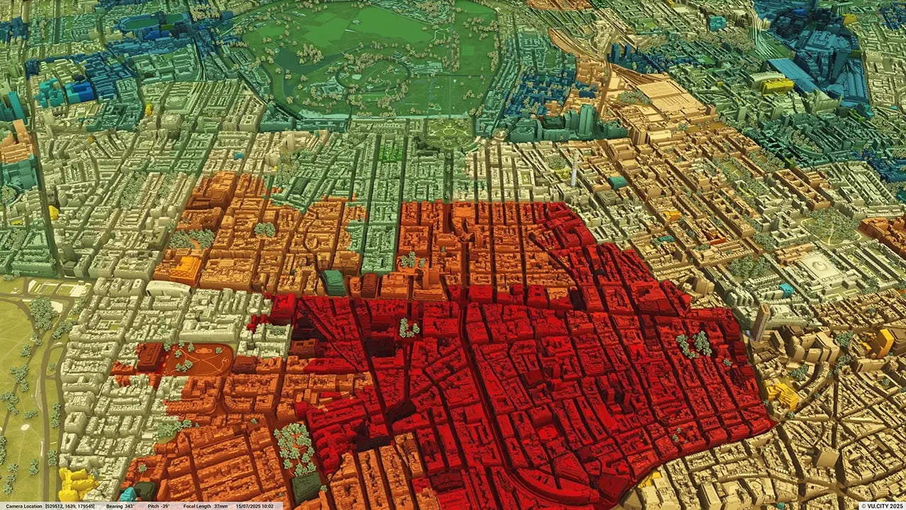
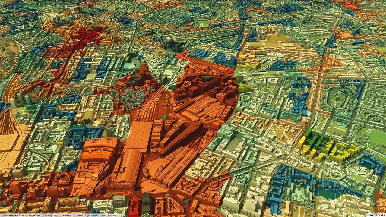
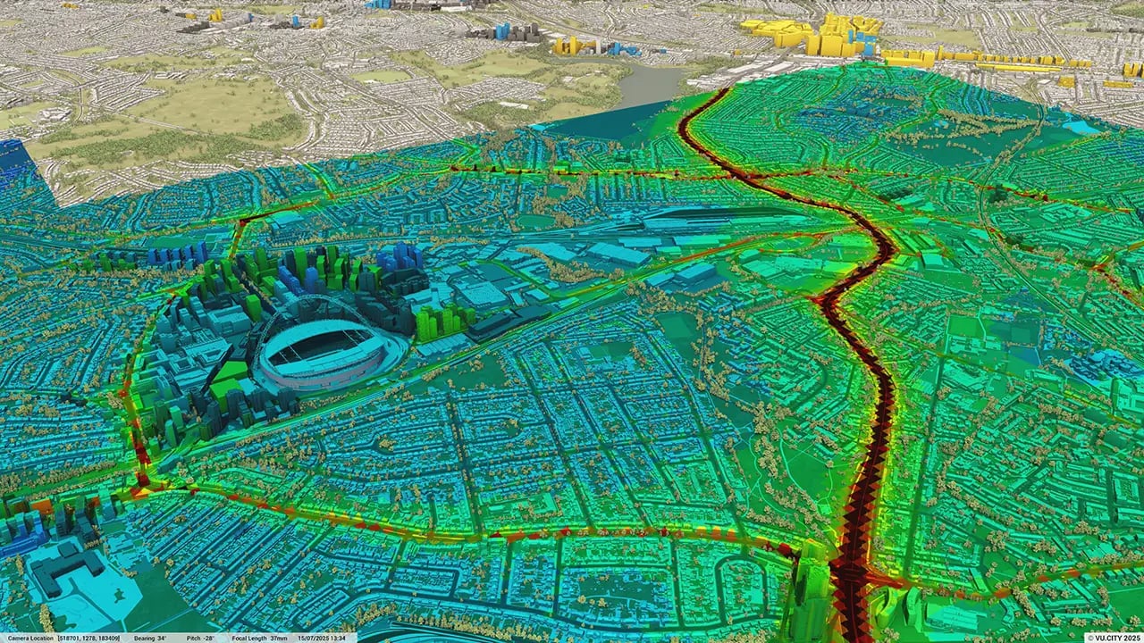
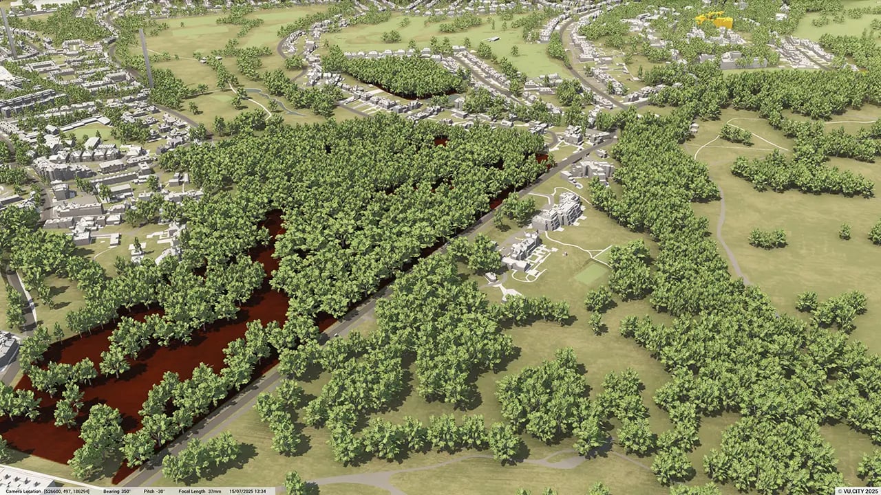
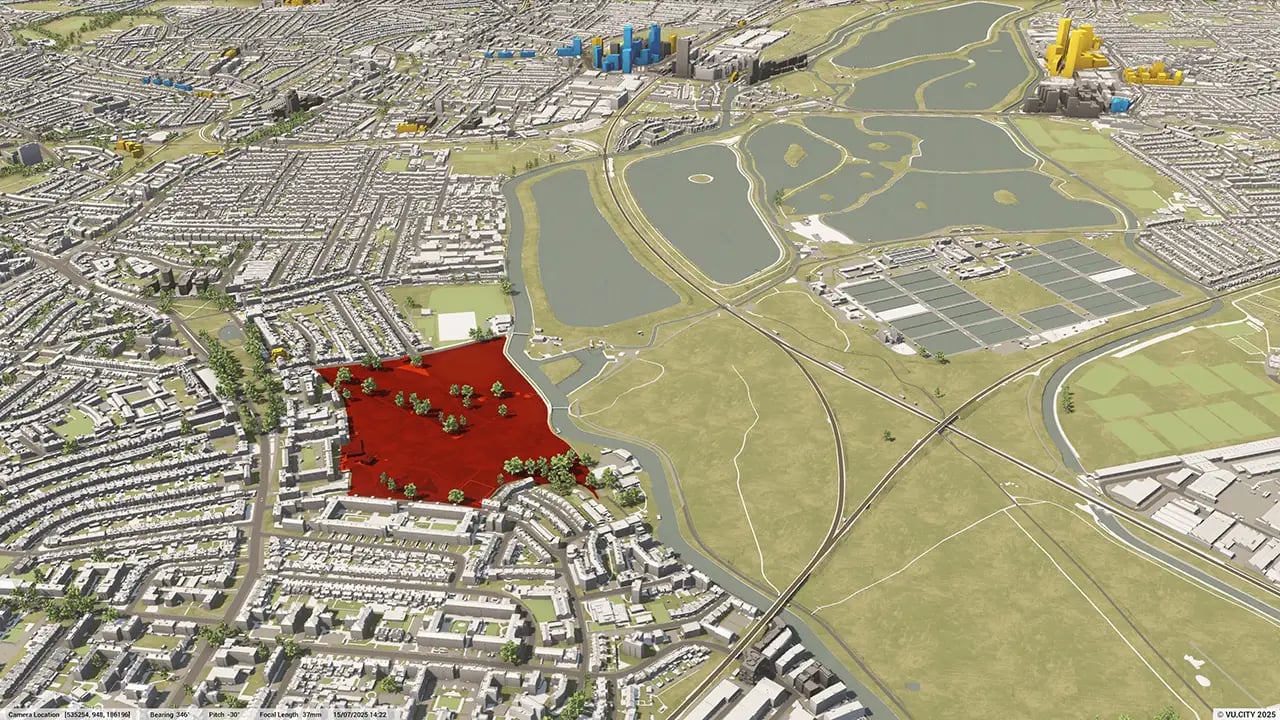
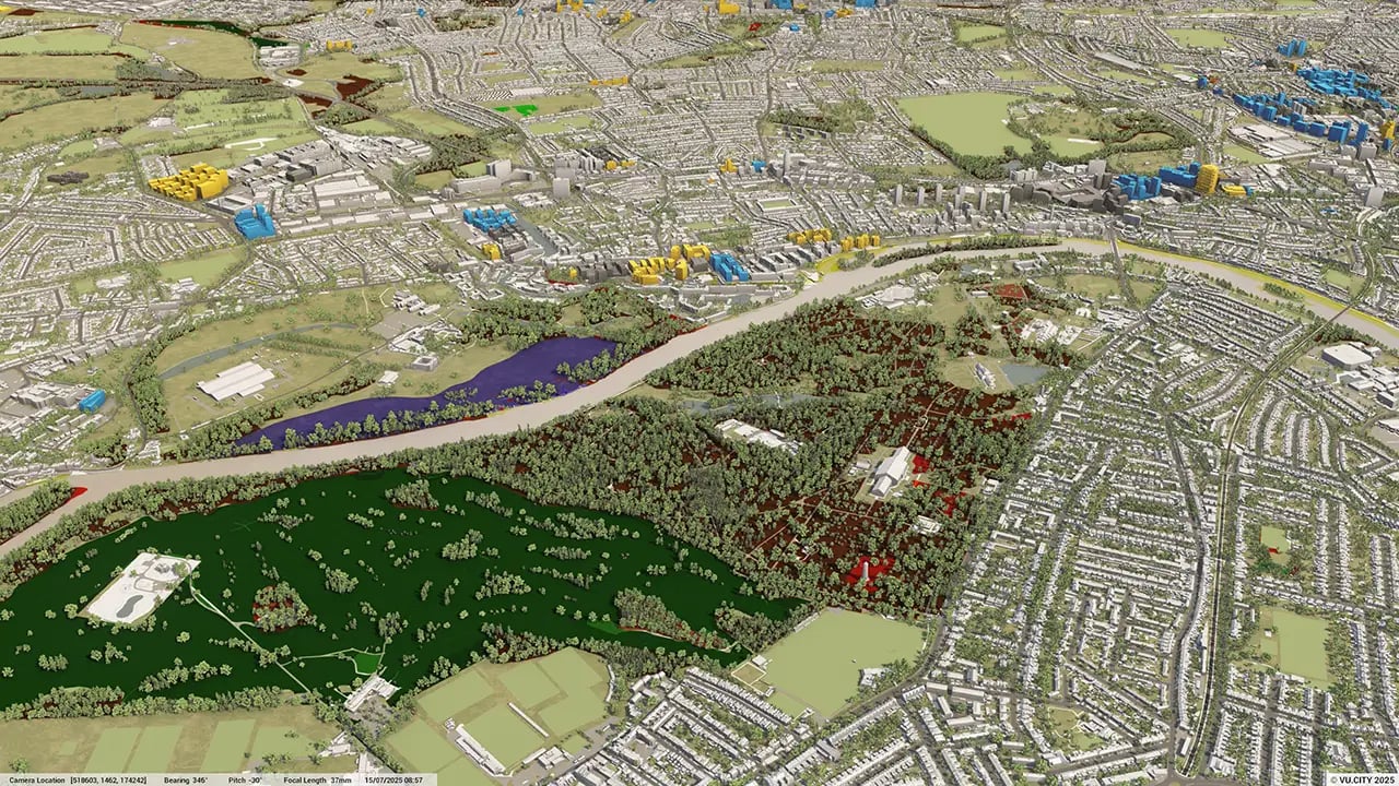
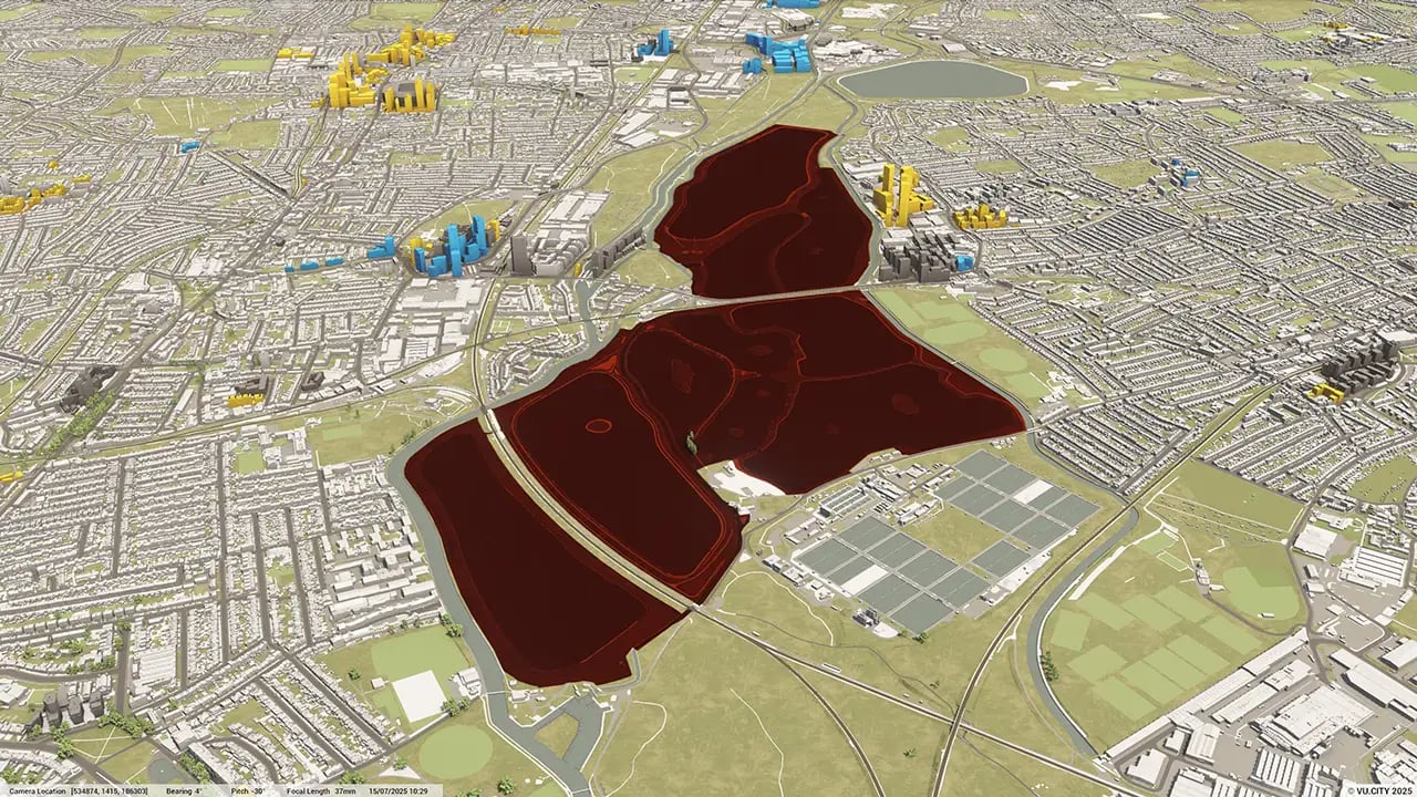
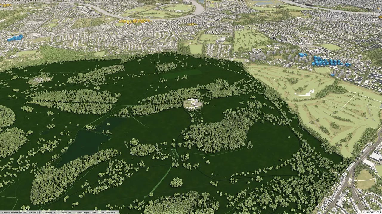
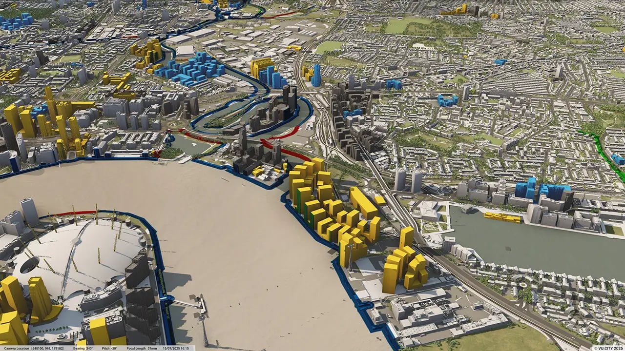
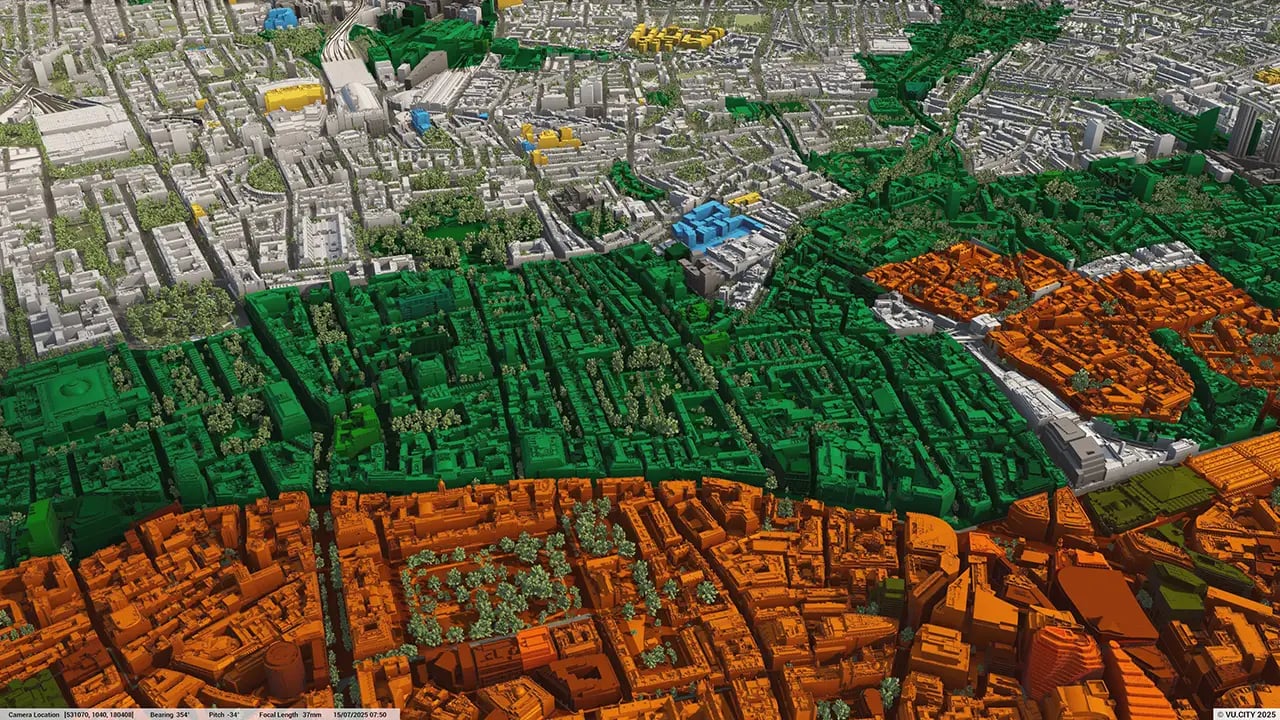

Slough is a small, densely built up borough, surrounded by green belt and with an urban area constrained by the M4. These constraints, and tightly drawn political boundaries, provide challenges when designing in the town.
However, change is underway: ambitious plans include a transformation of Slough's town centre, with benefits to its future prosperity that will attract businesses.
The need for housing continues to be significant, and there is potential to address this in the area known as "The Square Mile". There are also opportunities for environmental improvements, with plans to reduce the reliance on cars by replacing traffic-clogged roads with walkable tree-lined streets and link Slough’s centre to parks and the Grand Union Canal.
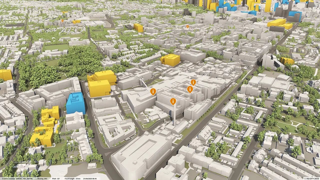
Users of VU.CITY’s Slough 3D model are using its many benefits, from being able to understand and assess a site’s opportunities and challenges, testing refined designs in context, enhancing pre-app conversations and planning submissions, to improving how everyone involved collaborates.
Trusted by 6,000+ users across 26 cities
Architects, developers, local authorities, urban planners, and more trust VU.CITY to help achieve their goals.
Organise and visualise your geospatial data in accurate context with our comprehensive suite of digital design and development tools.
VU.CITY Slough: 3D Model Features and Planning Tools


VU.CITY Slough FAQs
Here are some frequently asked questions about VU.CITY's Slough 3D Digital Twin and Model.
How does the VU.CITY Slough 3D model assist with planning in a densely built area?
The model allows planners and developers to visualise and assess projects within Slough’s constrained urban layout, which is surrounded by green belt and impacted by limited space. This helps in optimising land use and supporting sustainable development within these boundaries.
Can I use the VU.CITY Slough model to test multiple design options for a project?
Yes, the model provides tools for testing various massing options and quickly assessing General Employment Areas (GEA) potential. This feature enables early-stage design adjustments, ensuring the project aligns with Slough’s urban planning goals.
What features does the VU.CITY Slough model offer to support collaboration and stakeholder presentations?
The model includes tools like camera tools and studies, and annotation tags, which allow you to present realistic visuals and communicate design intentions effectively with stakeholders, making it easier to gain feedback and support.
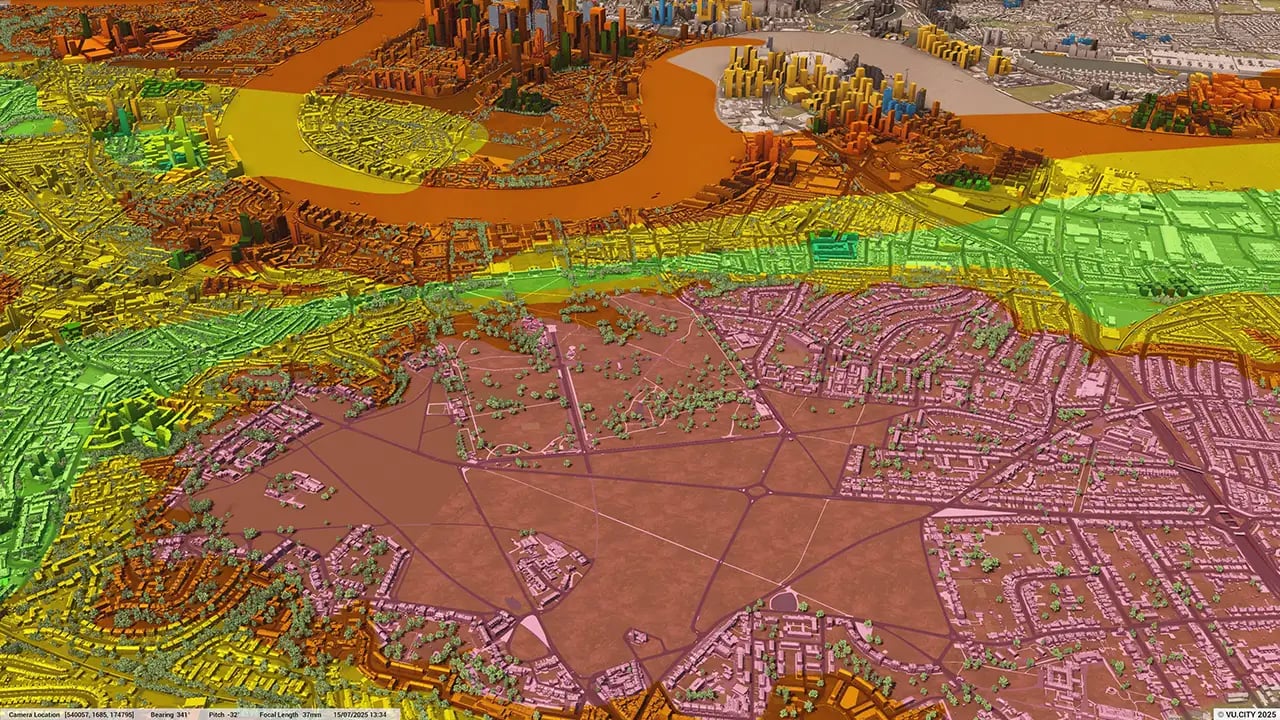
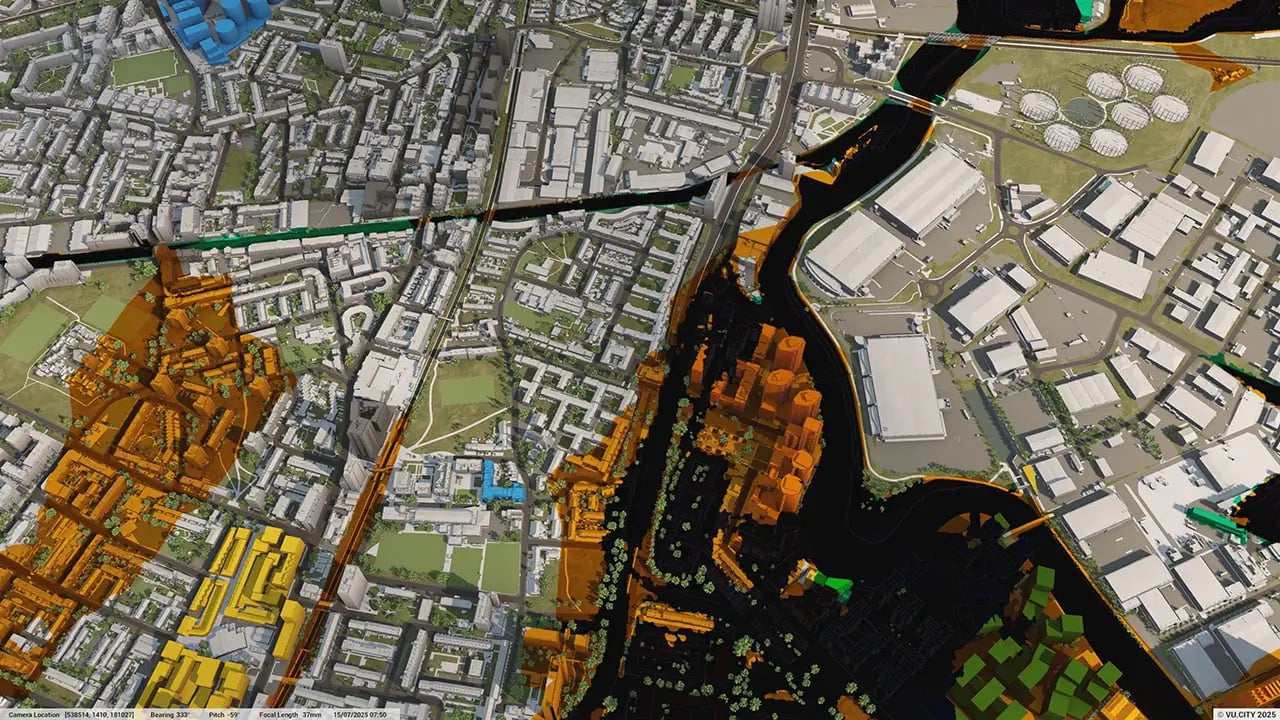
How does the model support environmental assessments in Slough?
VU.CITY Slough provides sunlight analysis, flood risk layers, and tree data to help developers understand environmental impacts. These tools support environmentally conscious planning, particularly for projects in Slough’s urban and greenbelt interface.
Who benefits from using the VU.CITY Slough model?
Architects, planners, developers, and local authorities benefit from this tool. It streamlines project planning, improves collaboration, and supports Slough’s vision for sustainable growth while addressing housing and commercial development needs.
Explore digital 3D geospatial solutions for the built environment
VU.CITY provides clear, powerful tools for key decision-makers across the built environment, helping them visualise and shape the future of cities with confidence and precision.
Make smarter decisions with data-driven insights, from infrastructure to sustainability.
Unlock the power of Generative AI for optimal design and streamlined decision-making.
Bring your designs to 3D life with state-of-the-art modelling tools.
Collaborate seamlessly across studies, planning, and design.
Utilise advanced 3D models and a data-driven approach with our flexible ZTV service.
Bring Your Vision to Life with a 3D Flythrough Video.
26 UK & International Cities
Over 3,000+ sq km accurate to 15cm | Tools to scope, create & collaborate on designs
Shape Tomorrow’s Cities, Today.
Begin Your Free Trial Now.
- 1
- 2
- 3

