
Sheffield 3D Model
Reduce unpredictable variables with our city of Sheffield 3D Model functionality. Rich data layers help minimise design and planning risks, highlight potential impacts, and accelerate key decision-making for projects.
With VU.CITY’s accurate and immersive 3D digital twin platform, all stakeholders can collaborate seamlessly, making smarter decisions and help increase planning success in the built environment.
-
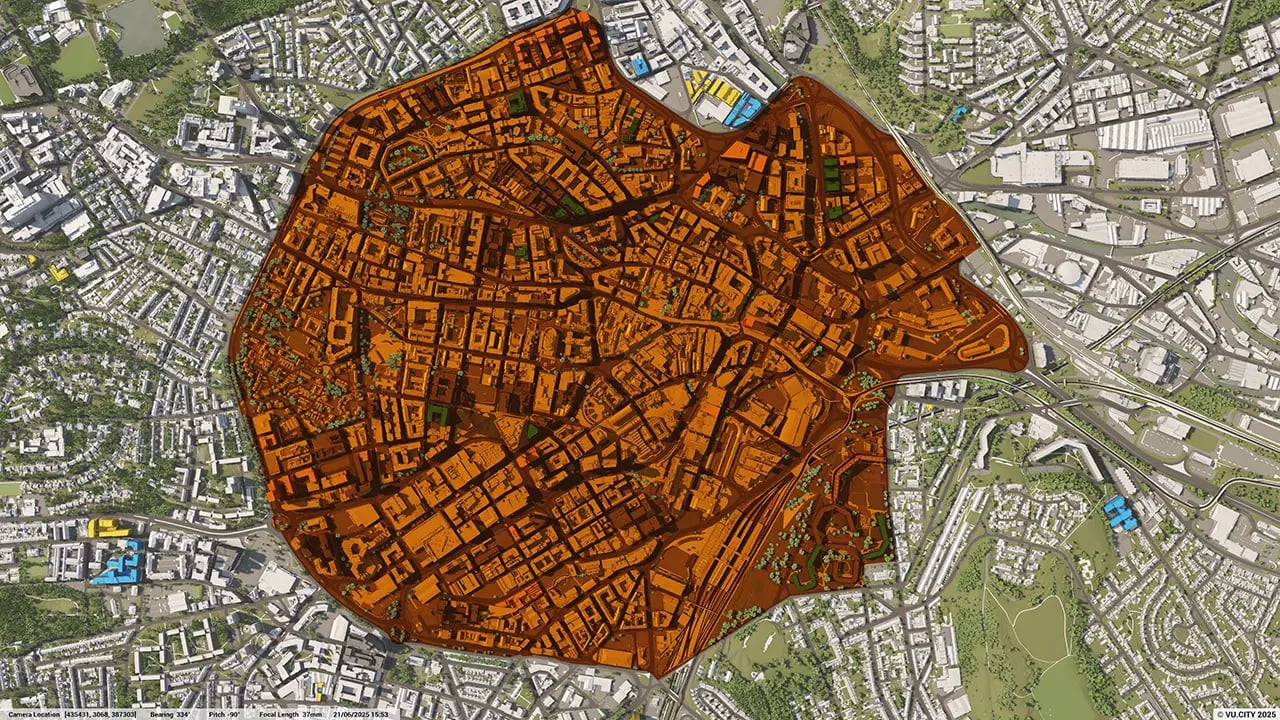
67DATA LAYERS
-
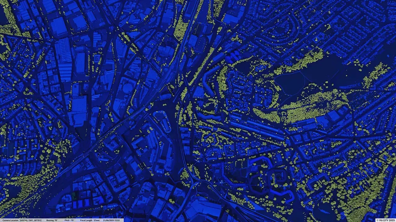
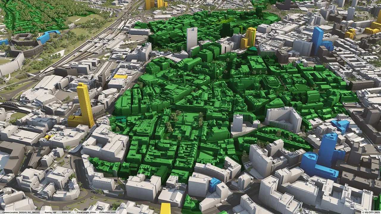
38 sq kmMODELLED TO 15CM ACCURACY
-
111Consents approved VU.CITY
-
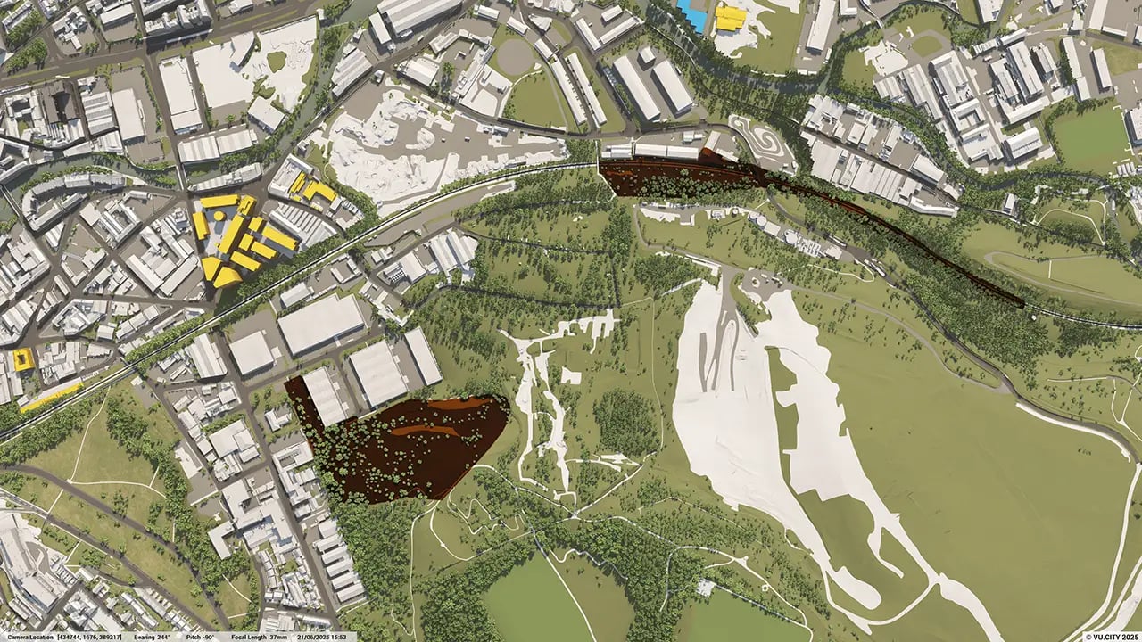
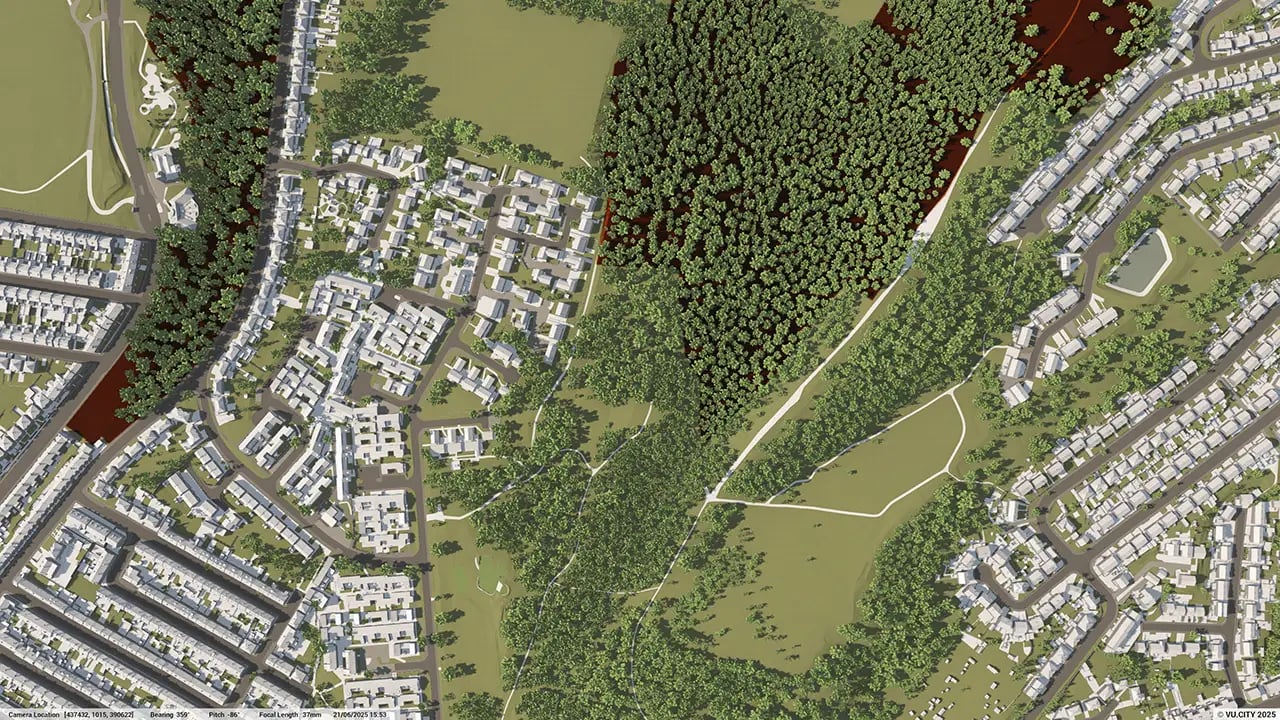
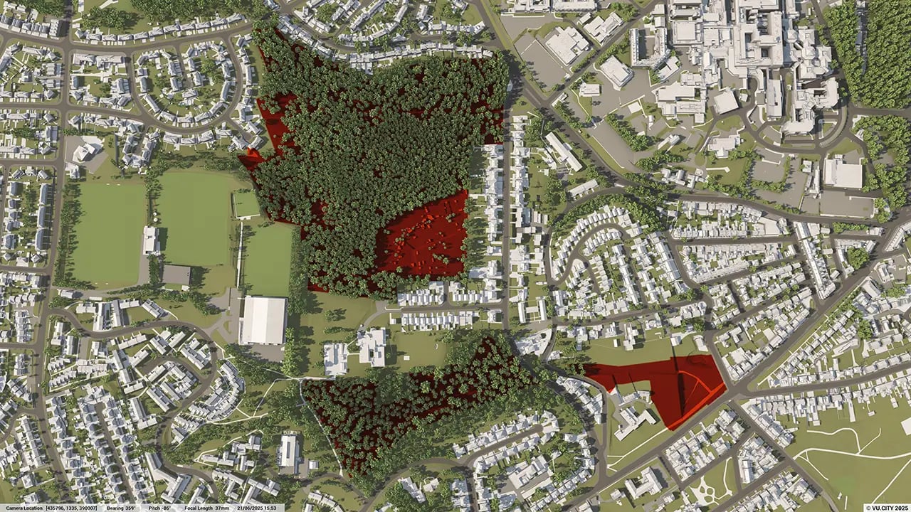
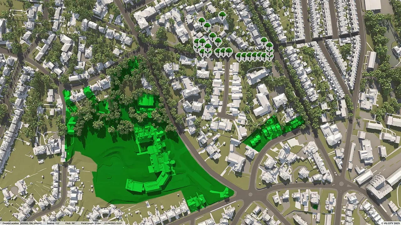
192,264TREES, ACCURATE HEIGHT AND CANOPY

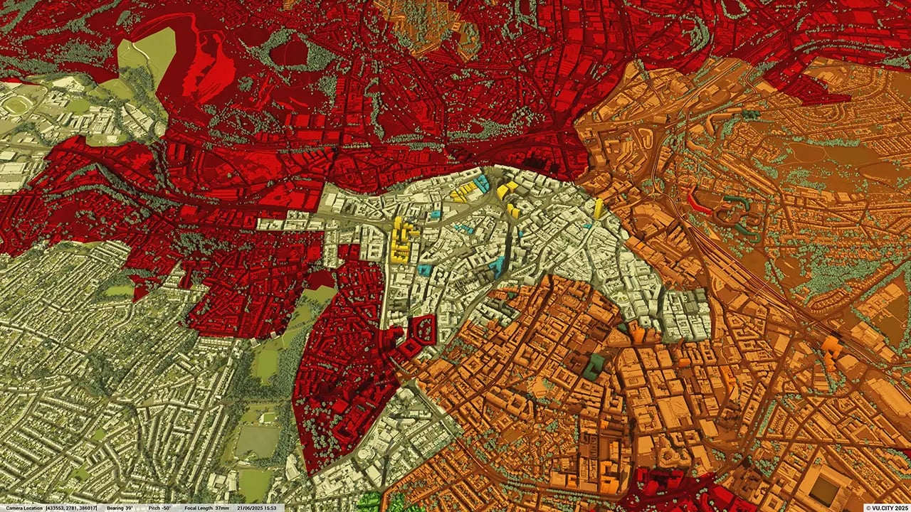
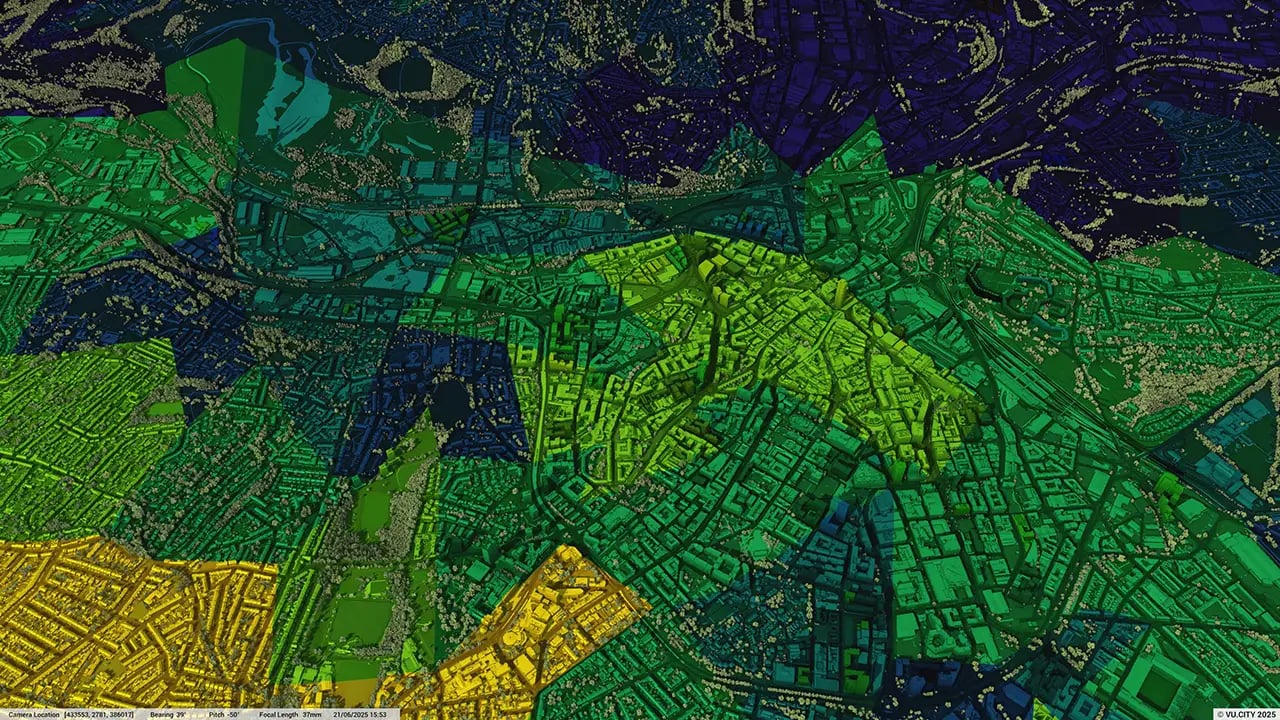
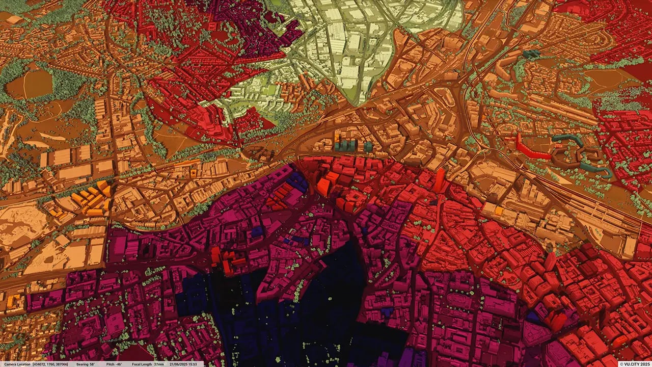
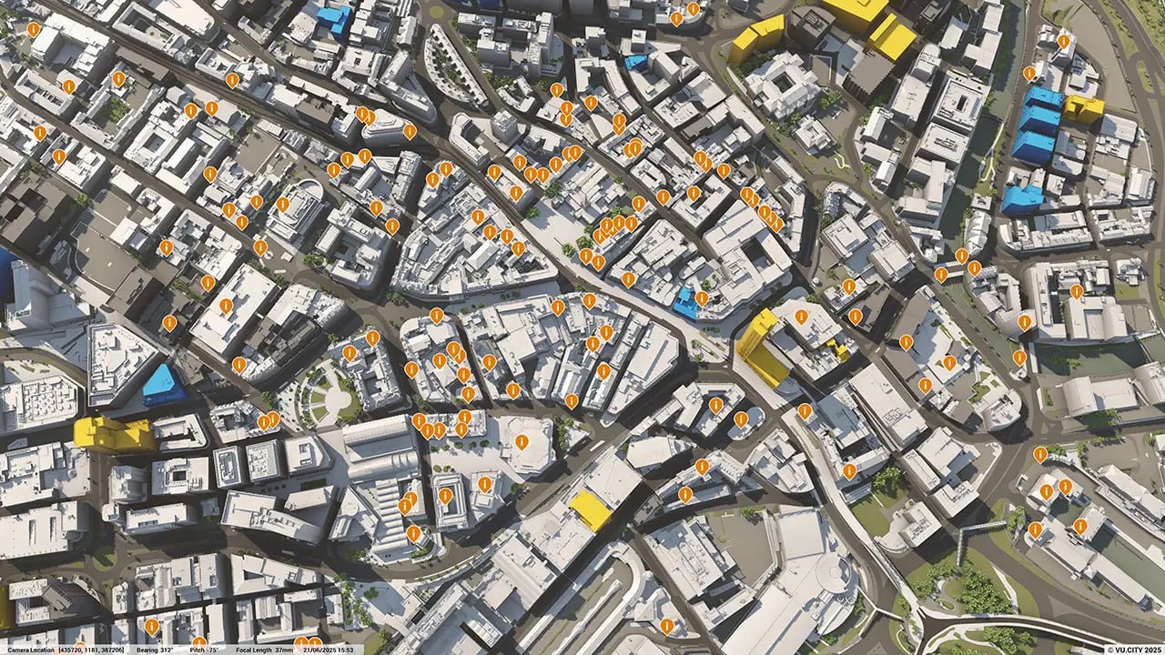
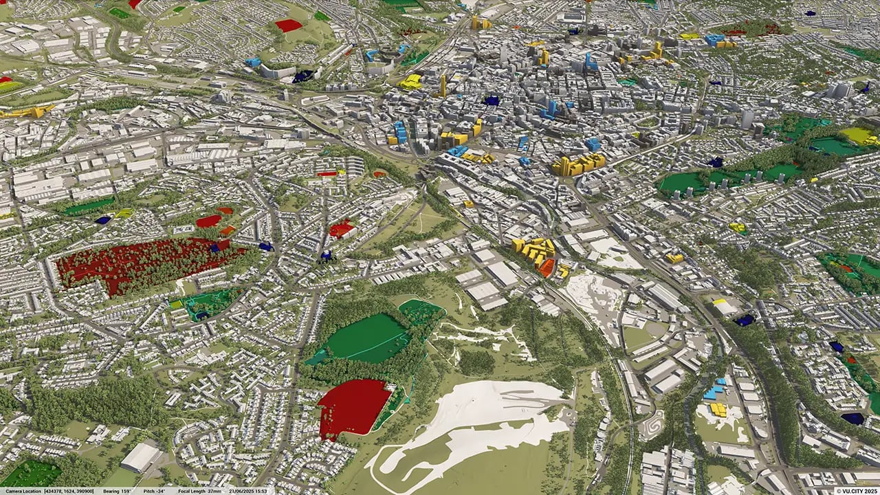
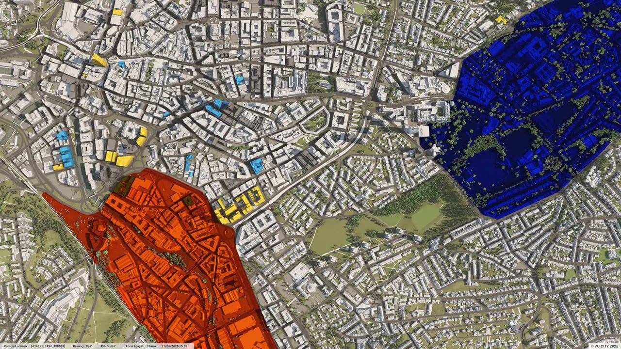
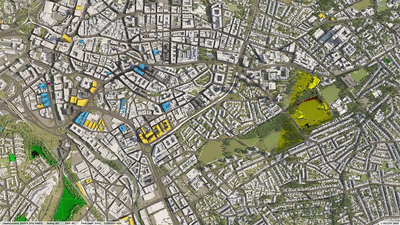
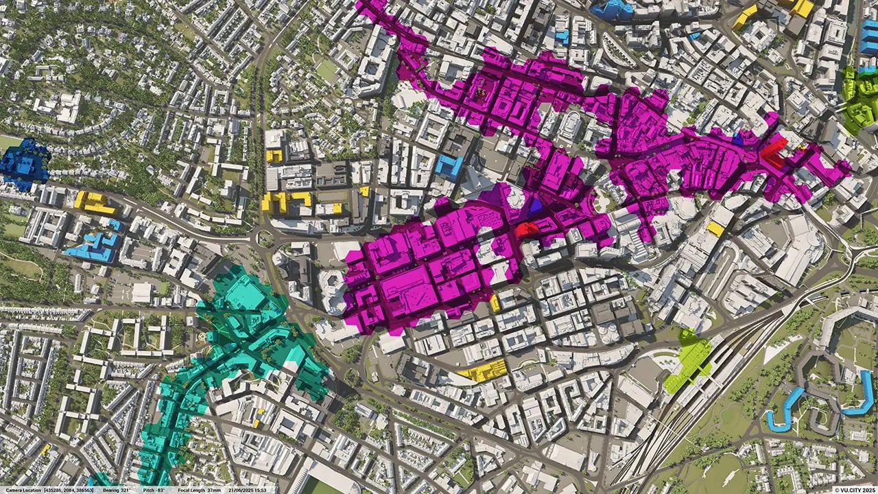
Sheffield data layers
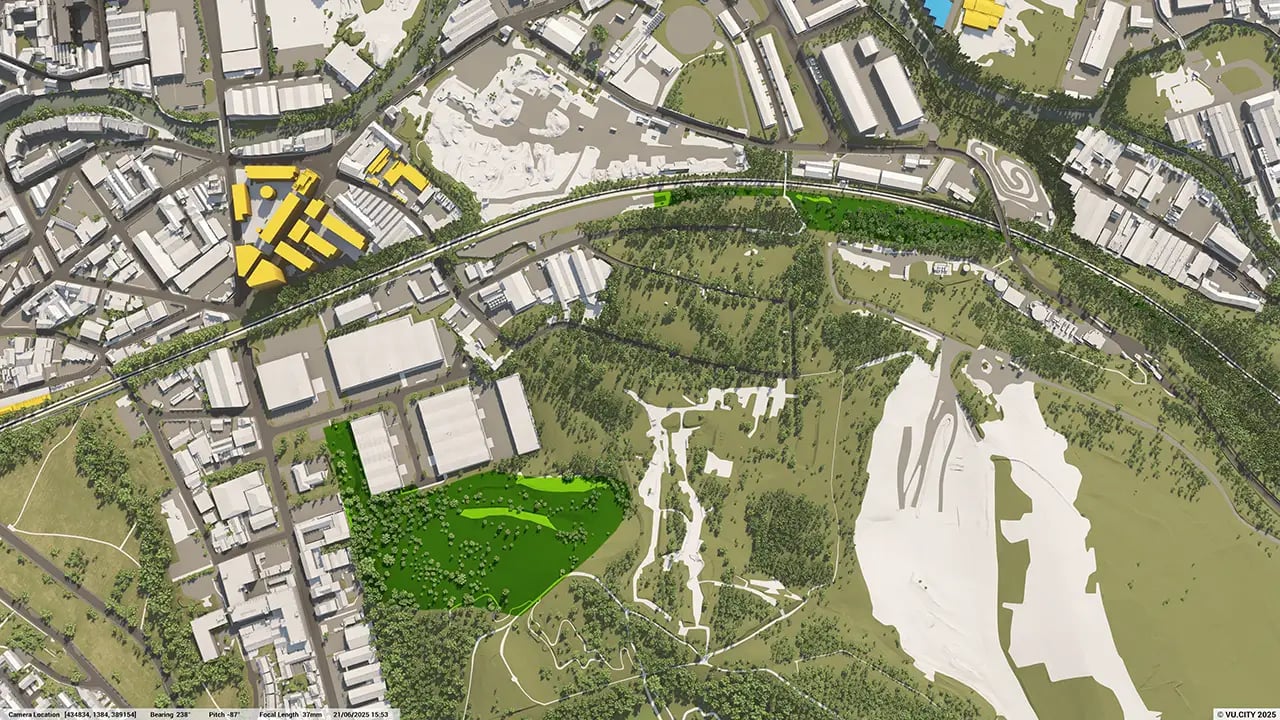
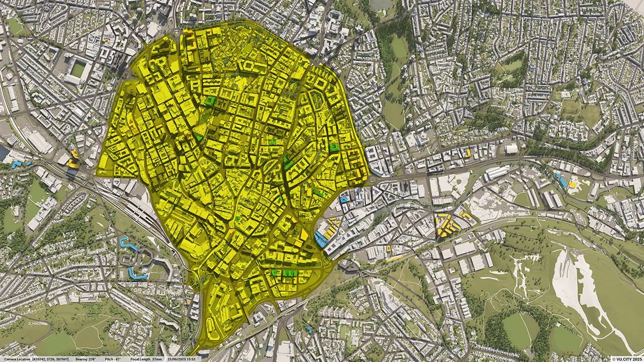
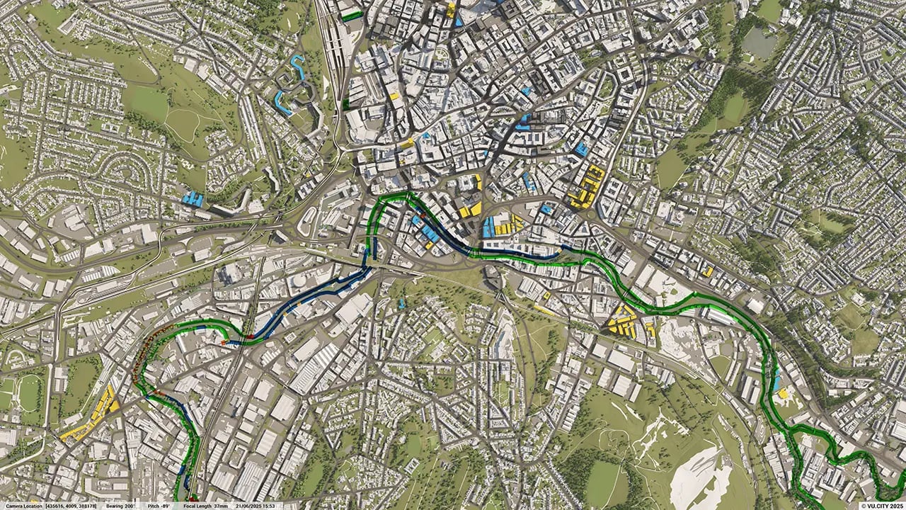
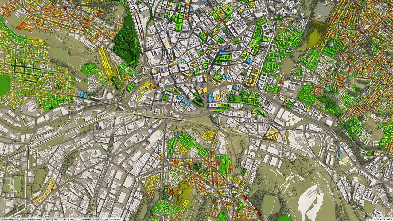
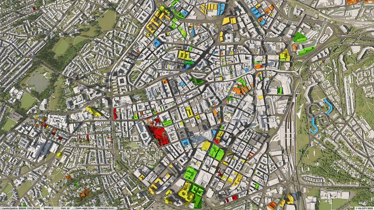
From transportation and zoning to environmental factors, VU.CITY Sheffield 3D model data layers provide essential insights for more informed and confident decision-making.
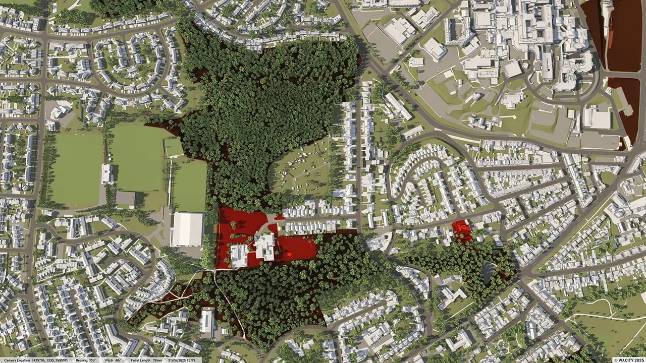
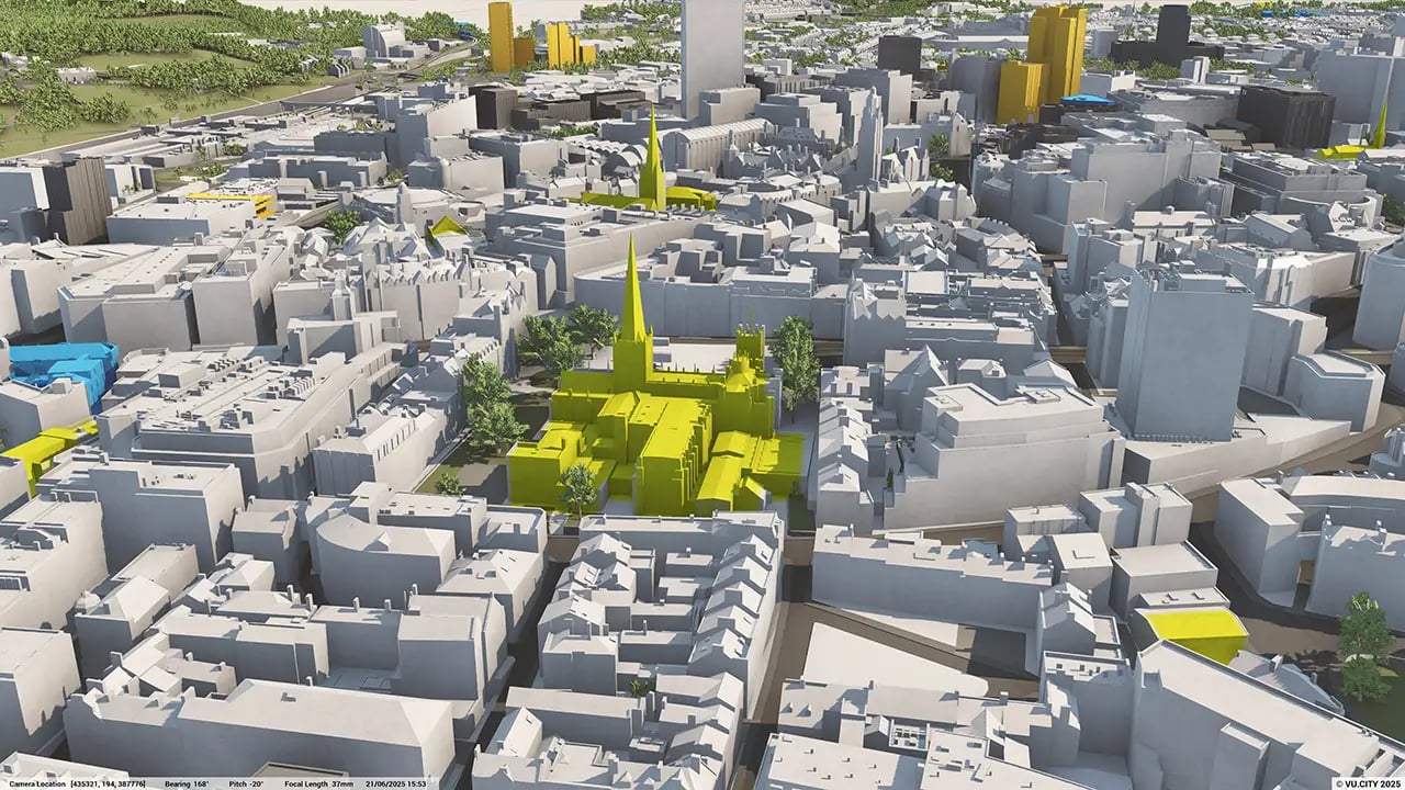

Sheffield is thriving and developing into a modern, 21st century city for people to live in and businesses to thrive in. Sheffield City Council is forward-thinking and has already played a key role in flagship projects which have changed the city’s image over the last decade, including Heart of the City, The Moor and Castlegate, as well as major infrastructures such as Lower Don Valley Flood Defence Scheme, with significant investment coming from Sheffield’s universities and global industry leaders such as Boeing and McLaren.
Investment is now at an all-time high and major regeneration programmes are set to take place across the city. The £1.5bn transformation of Sheffield coupled with the arrival of HS2 and focus on the Northern Powerhouse will see these trends continue, so understanding the potential for any new scheme and de-risking it will be vital. VU.CITY’s digital planning and design platform helps predict and examine the impact of change in cities and on the environment. The more that everyone involved can collaborate, the lower the risks.
As the major city at the heart of a wider city region, Sheffield needs to increasingly assert its role as one of the main drivers of economic growth in the north of England. A new Sheffield Local Plan will guide the future of the city by setting out how and where development will take place up to 2038, with the intention to build around 40,000 new homes over the next 20 years to cater for the growing population there.
The Sheffield Plan will cover the whole of Sheffield City Council area, except for the area within the Peak District National Park, respecting Sheffield’s natural environment and the city’s identity and heritage. With VU.CITY enabling proposals to be seen clearly and readily understood, increasing the likelihood of a project and agreement all the way from public consultation to planning committee is all the more straightforward.
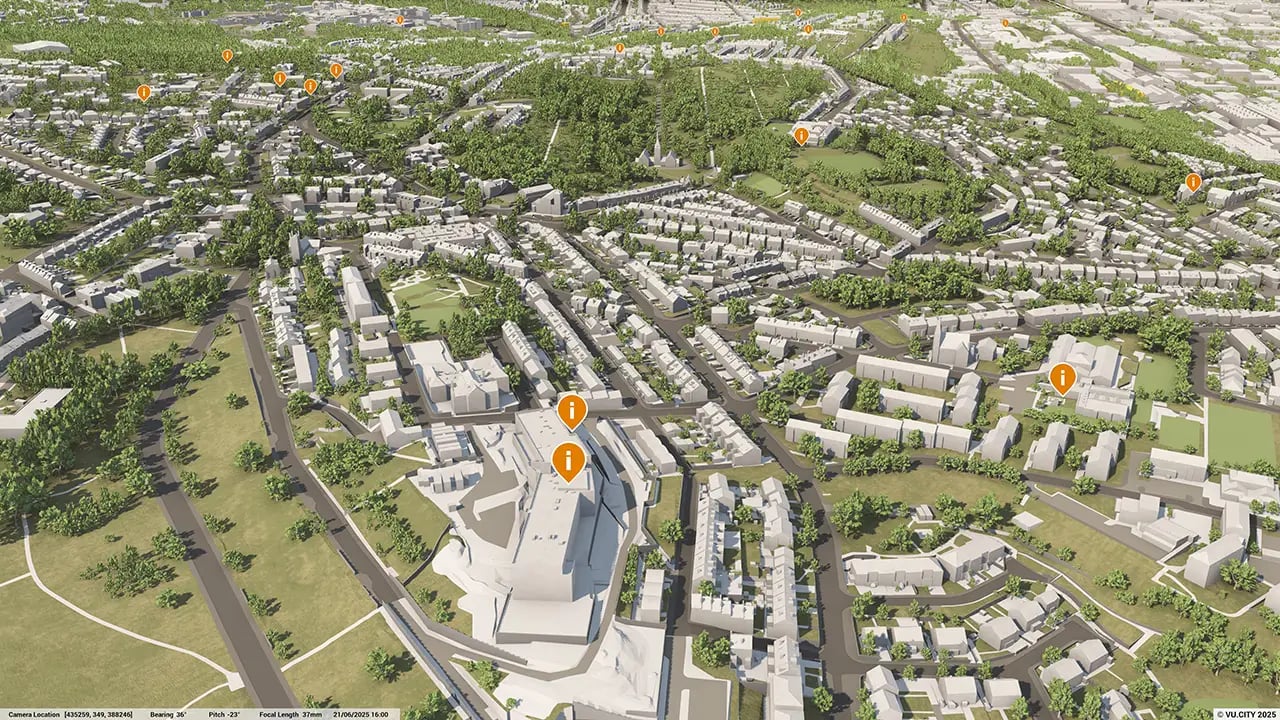
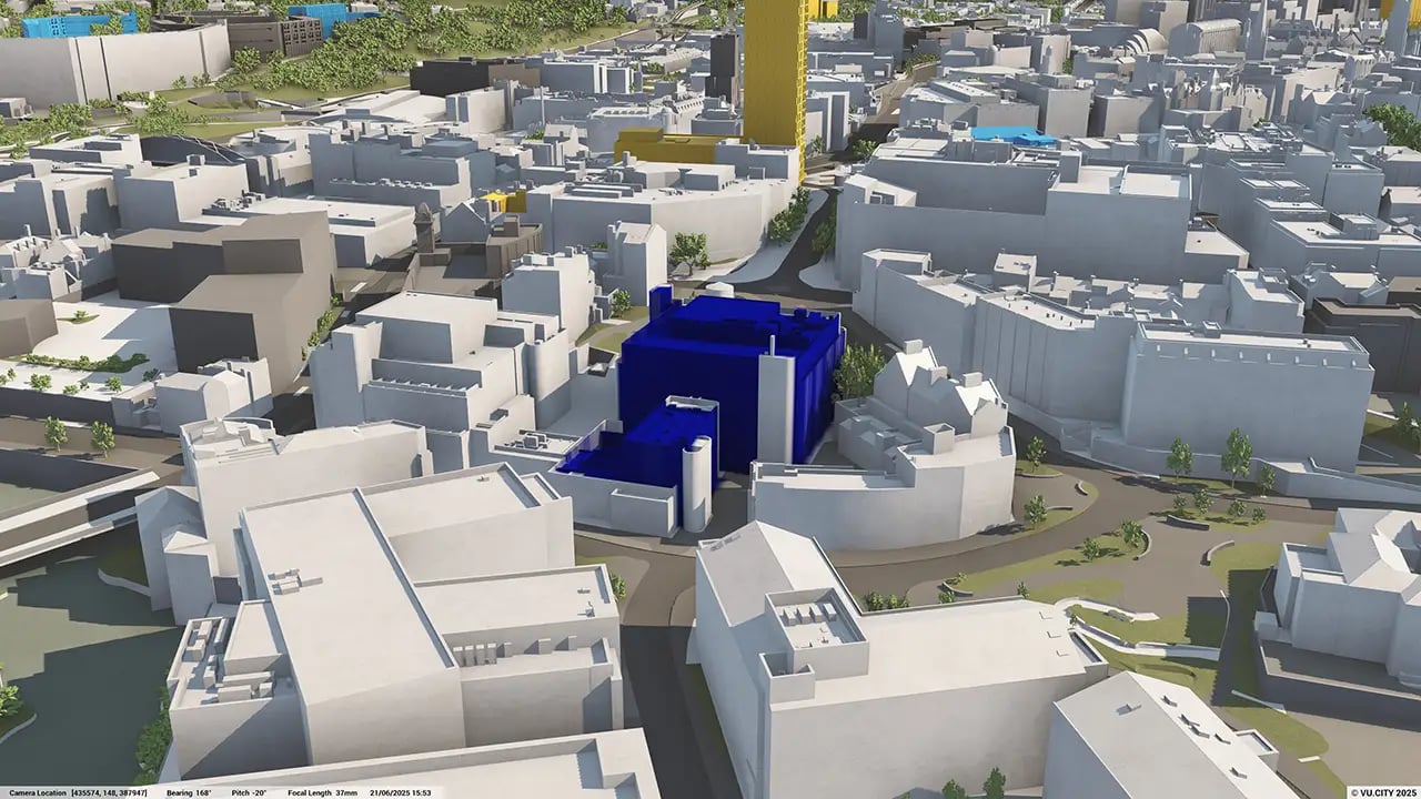
Users of VU.CITY’s Sheffield 3D model are already benefiting. From being able to understand and assess a site’s opportunities and challenges, testing refined designs in context, enhancing pre-app conversations and planning submissions, to improving how everyone involved collaborates.
Trusted by 6,000+ users across 26 cities
Architects, developers, local authorities, urban planners, and more trust VU.CITY to help achieve their goals.
Organise and visualise your geospatial data in accurate context with our comprehensive suite of digital design and development tools.
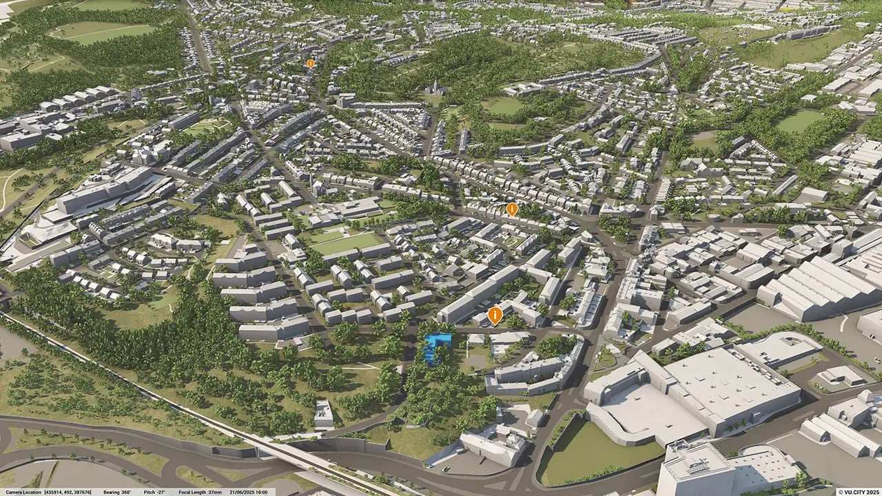
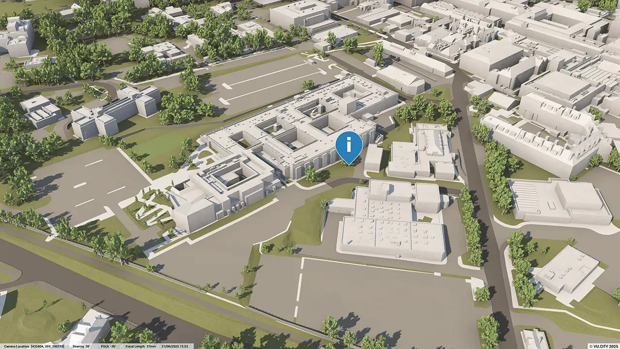
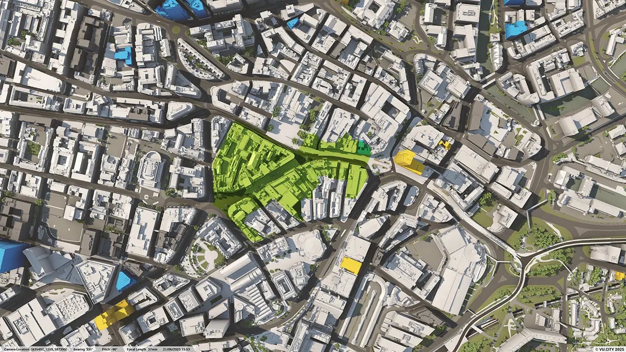
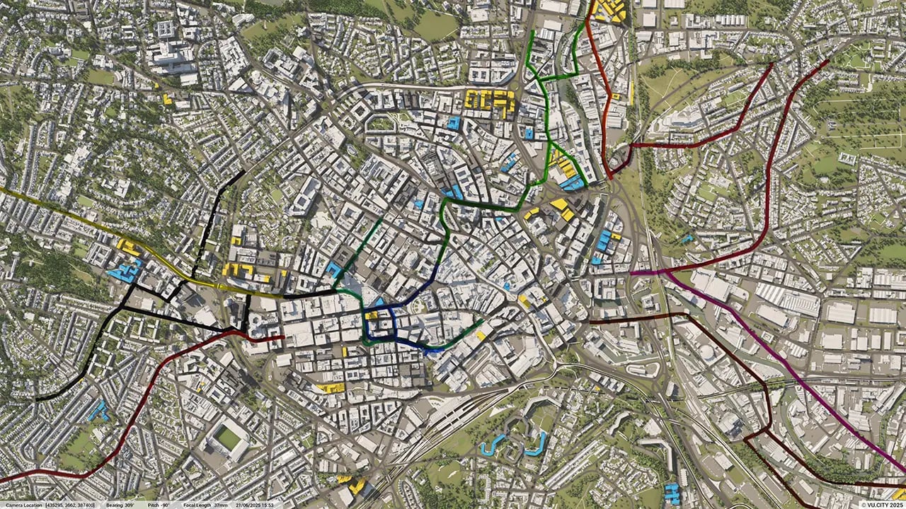
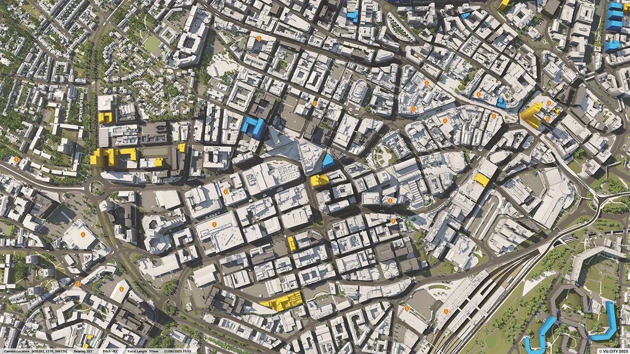
VU.CITY Sheffield: 3D Model Features and Planning Tools


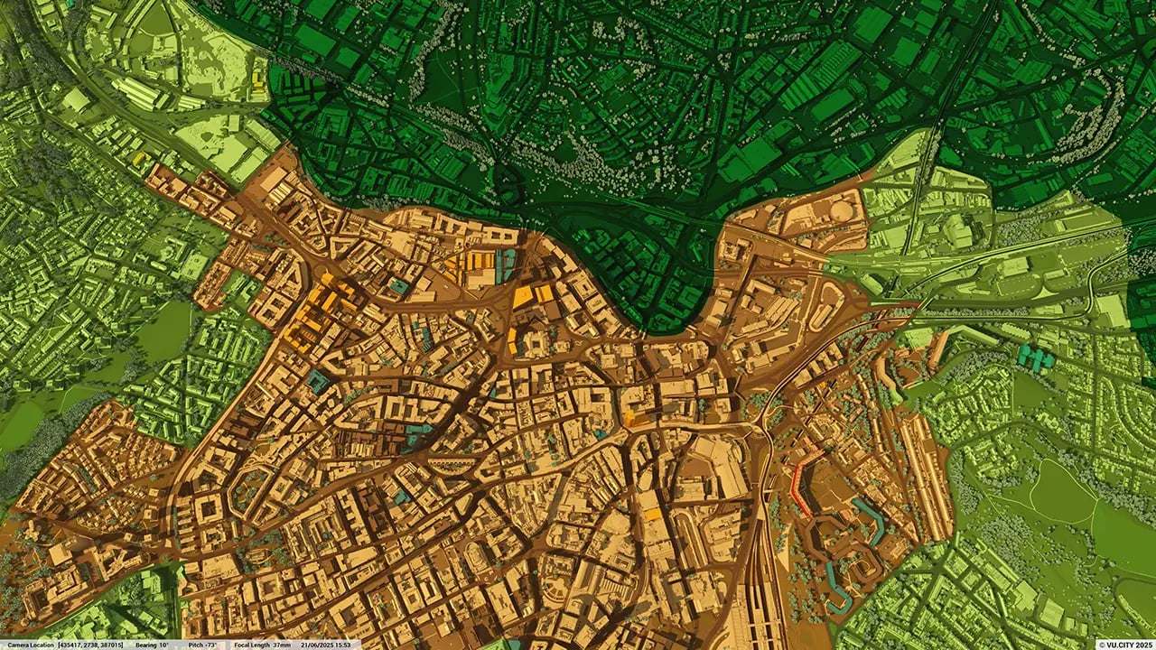
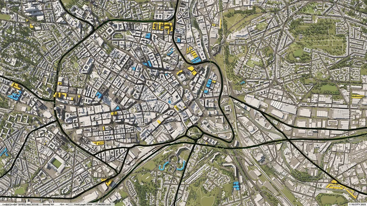
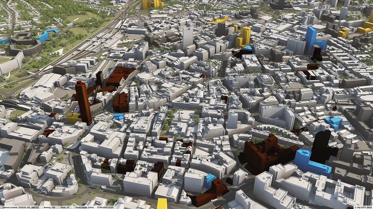
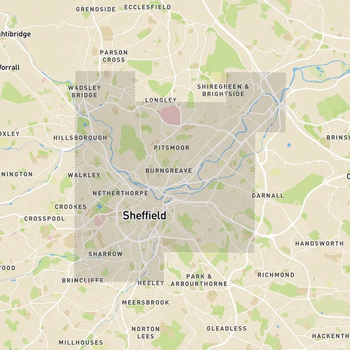
Sheffield 3D tile coverage
Whether you’re focusing on a single neighbourhood or the entire cityscape, VU.CITY provides full coverage with unmatched precision.
VU.CITY Sheffield FAQs
Here are some frequently asked questions about VU.CITY's Sheffield 3D Digital Twin and Model.
How can the VU.CITY Sheffield model support the city’s regeneration efforts?
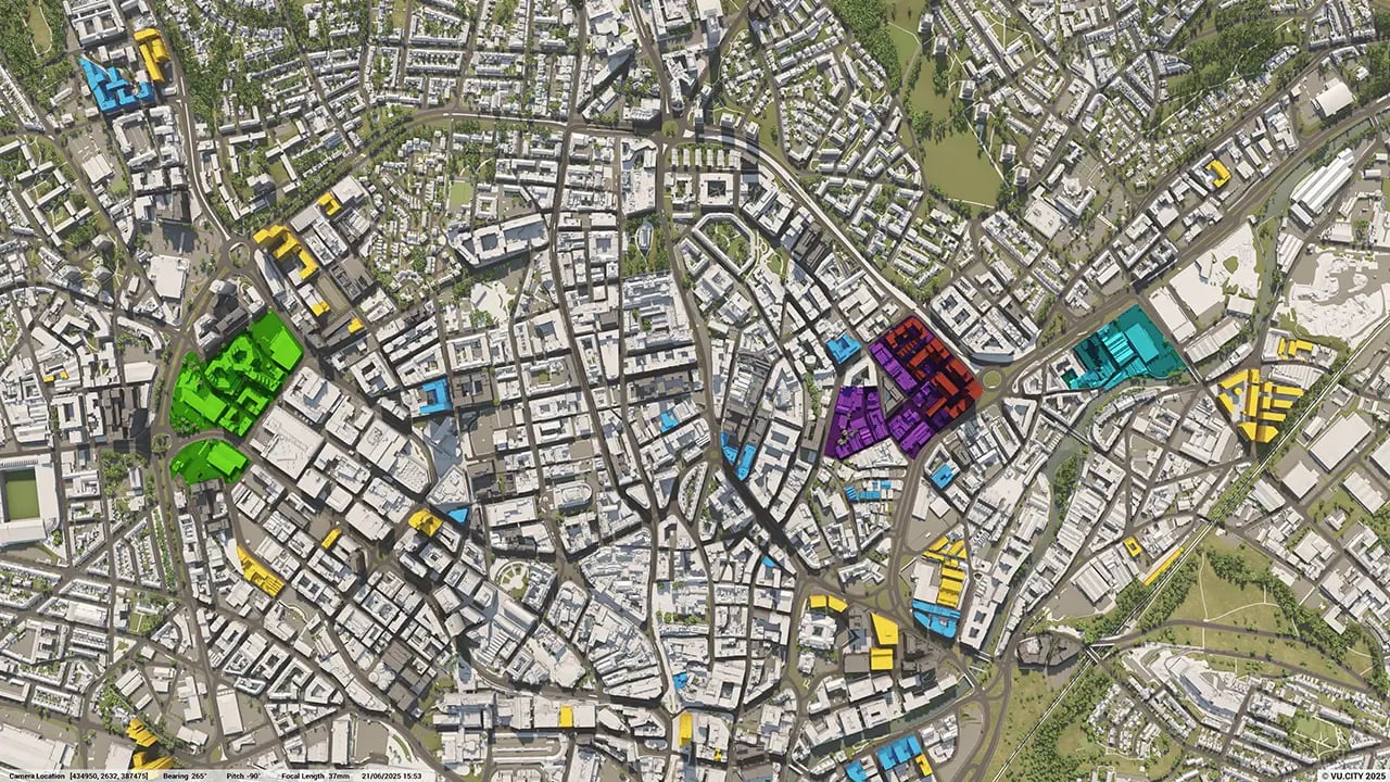
The model enables users to visualise and assess projects within key areas, such as Heart of the City and Castlegate, allowing planners to predict the impact of new developments on Sheffield’s urban landscape and align with its £1.5 billion regeneration goals.
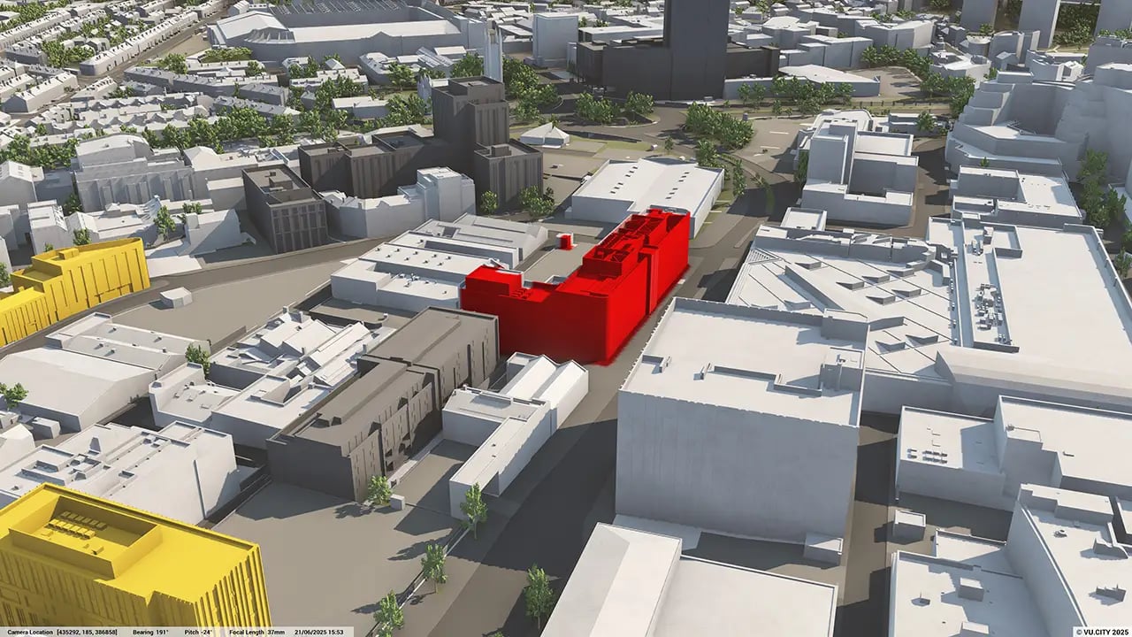
Can the Sheffield 3D model help evaluate design and massing options early in the planning process?
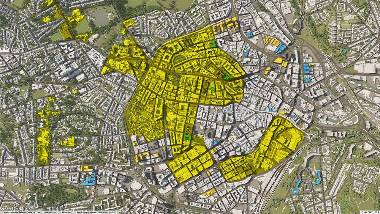
Yes, users can quickly test multiple massing options and assess General Employment Area (GEA) potential, refining designs early to ensure alignment with Sheffield’s urban growth strategy and maintain the city’s visual character.
How does the VU.CITY Sheffield model improve stakeholder engagement and public consultation?
The model includes tools like the Camera Tool and other studies, enabling clear, realistic presentations of proposed developments. This helps stakeholders and community members understand project impacts, supporting effective communication and feedback.
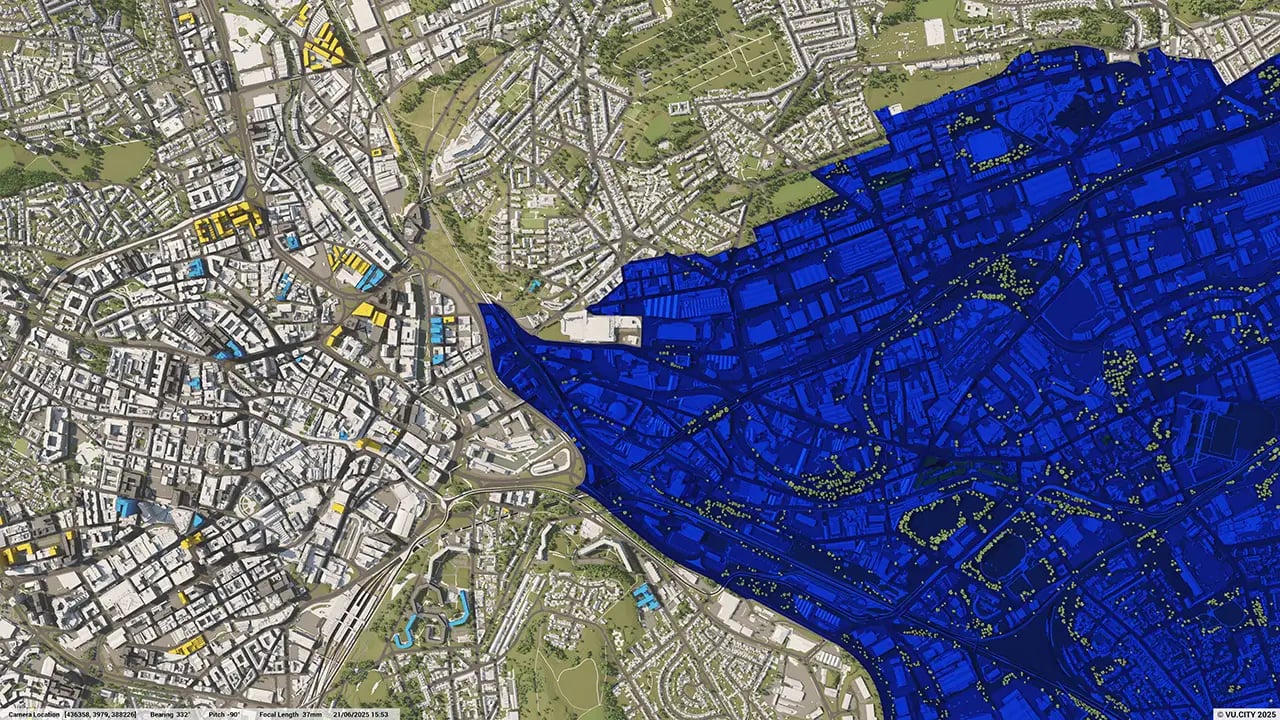
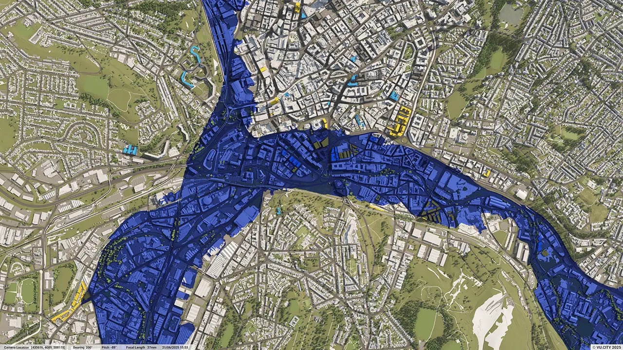
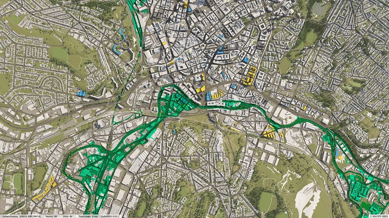
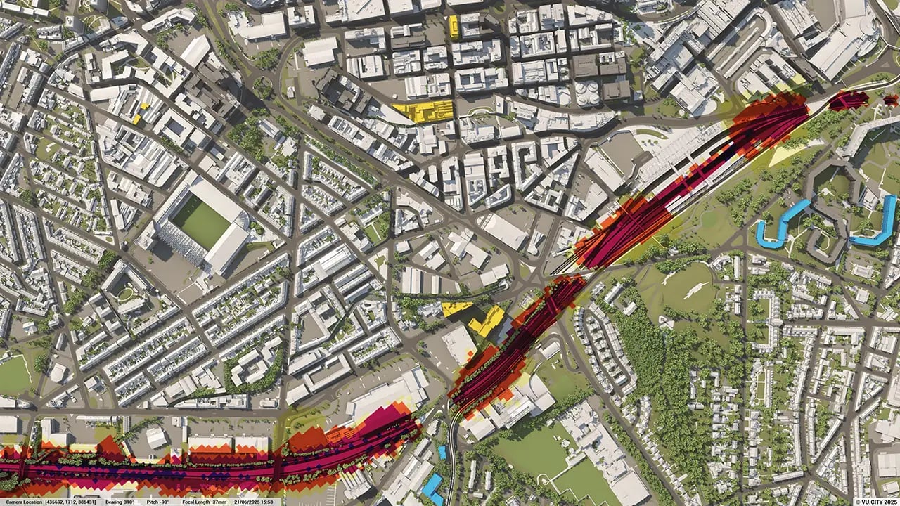
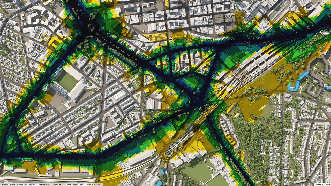
What environmental and heritage data layers are included in the Sheffield model?
The model provides data layers for sunlight analysis, conservation areas, flood risk zones, and listed buildings, which support environmentally responsible planning that respects Sheffield’s historic and natural assets.
Who benefits from using the VU.CITY Sheffield model?
Architects, developers, planners, and city officials benefit from the model. It enhances collaboration, streamlines complex projects, and ensures that developments align with Sheffield’s strategic vision for sustainable growth and heritage preservation.
Explore digital 3D geospatial solutions for the built environment
VU.CITY provides clear, powerful tools for key decision-makers across the built environment, helping them visualise and shape the future of cities with confidence and precision.
Make smarter decisions with data-driven insights, from infrastructure to sustainability.
Unlock the power of Generative AI for optimal design and streamlined decision-making.
Bring your designs to 3D life with state-of-the-art modelling tools.
Collaborate seamlessly across studies, planning, and design.
Utilise advanced 3D models and a data-driven approach with our flexible ZTV service.
Bring Your Vision to Life with a 3D Flythrough Video.
26 UK & International Cities
Over 3,000+ sq km accurate to 15cm | Tools to scope, create & collaborate on designs
Shape Tomorrow’s Cities, Today.
Begin Your Free Trial Now.
- 1
- 2
- 3

