
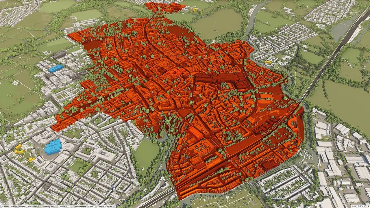
Oxford 3D Model
Minimise project risks with our Oxford 3D Model functionality. Rich data layers help lower design and planning uncertainty, highlight potential impacts, and accelerate key decision-making for projects.
With VU.CITY’s accurate and intuitive 3D digital twin platform, all stakeholders can expect smooth collaboration, making smarter decisions and help increase planning success in the built environment.
-
54DATA LAYERS
-
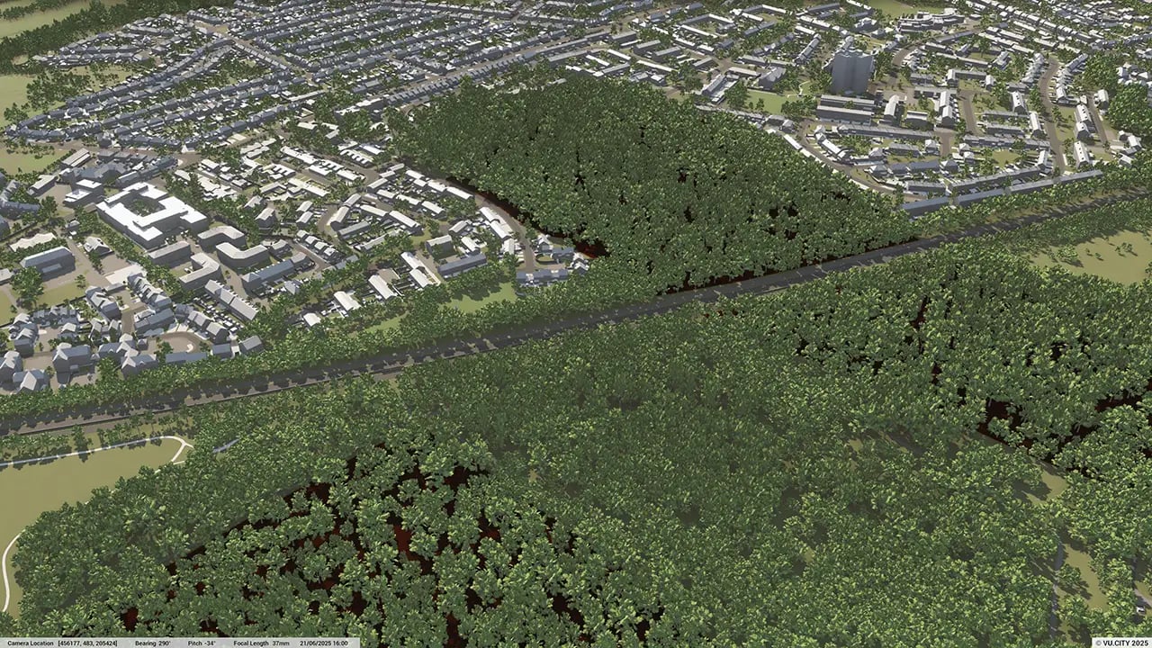
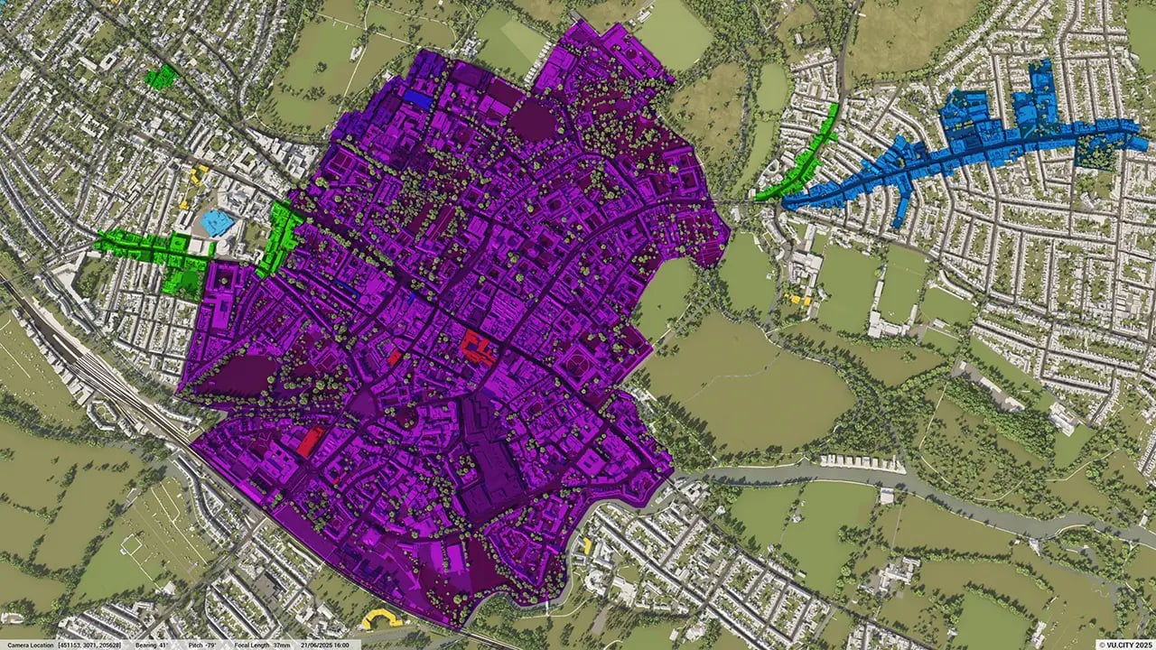
58 sq kmMODELLED TO 15CM ACCURACY
-
105Consents approved VU.CITY
-
263,147TREES, ACCURATE HEIGHT AND CANOPY

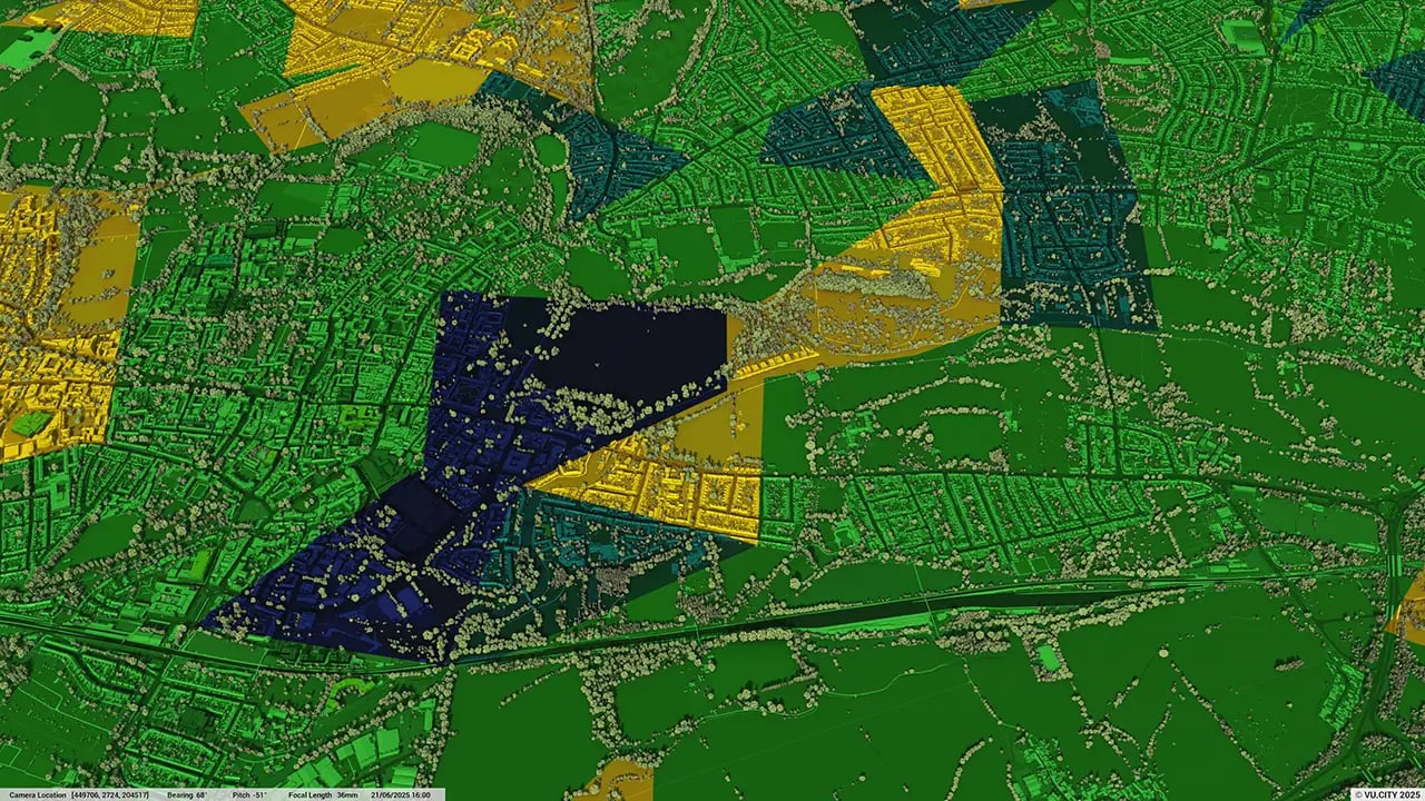
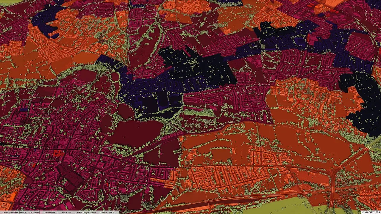
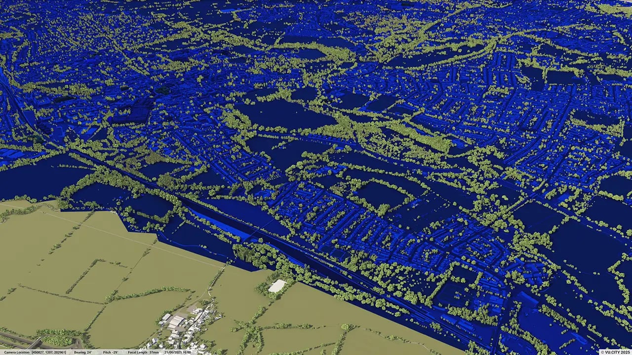
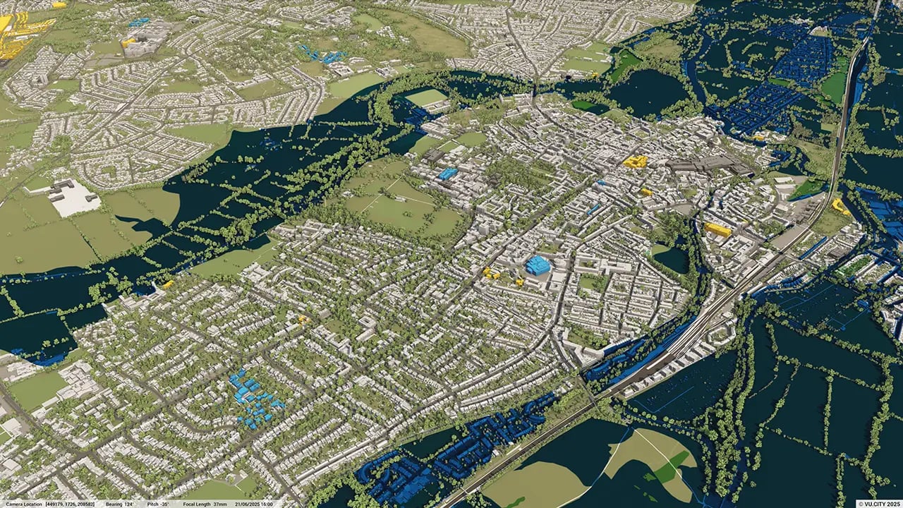
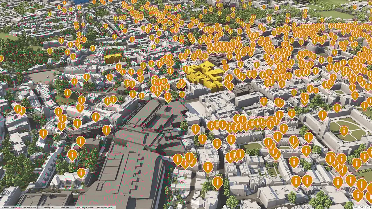
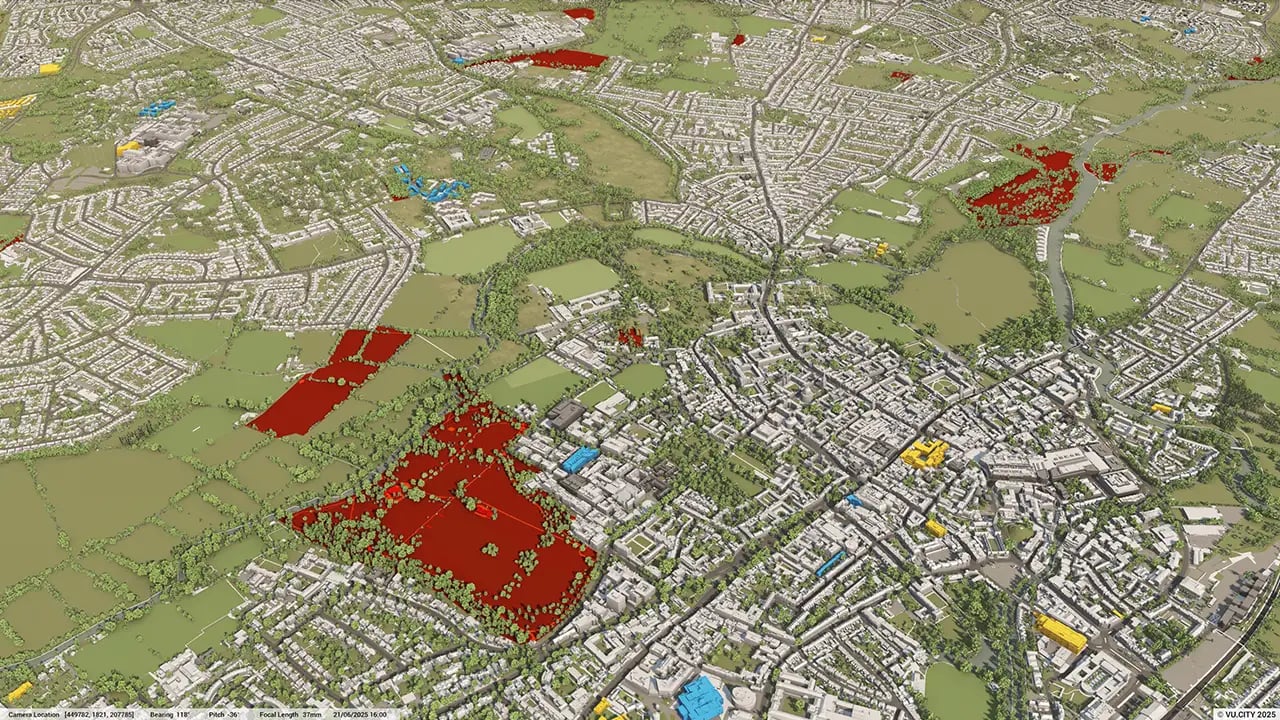
Oxford data layers
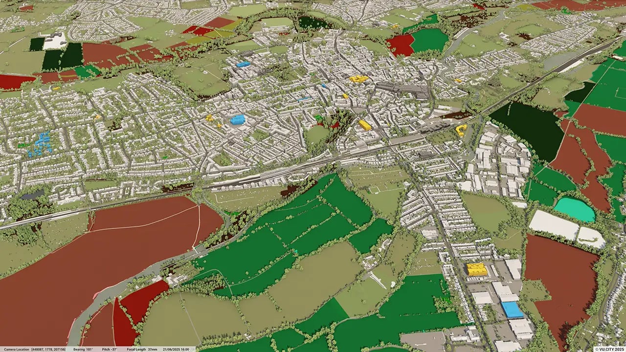
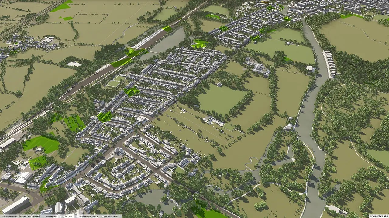
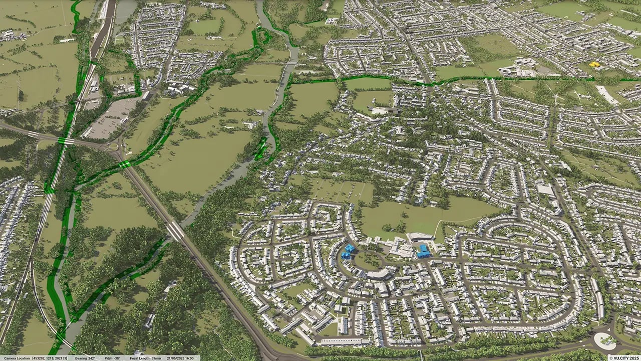
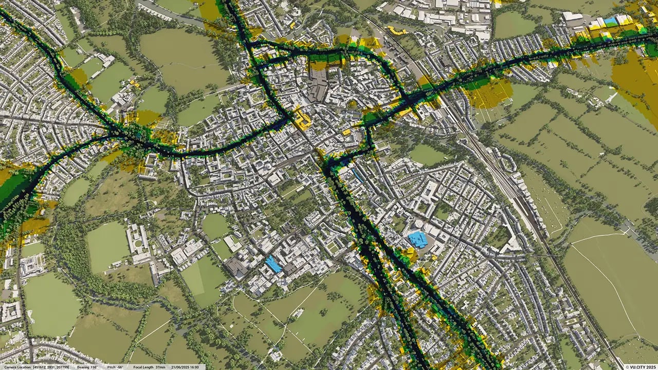
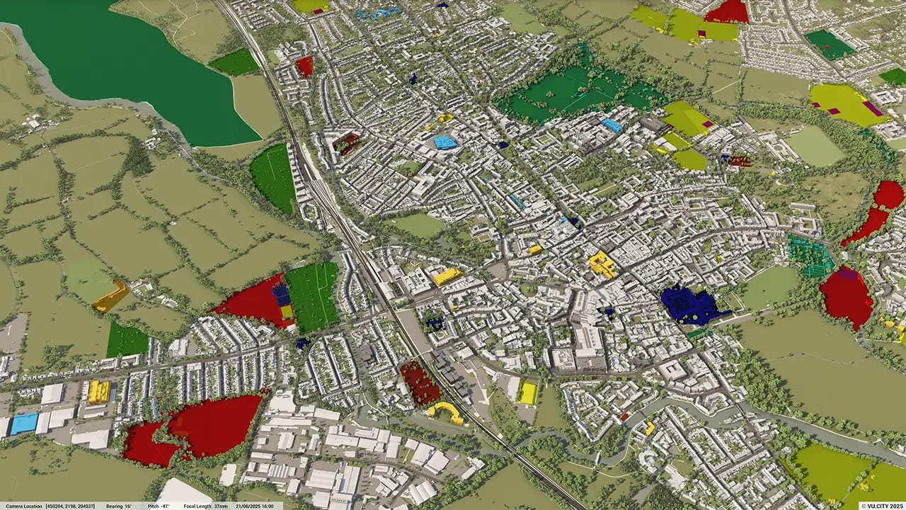
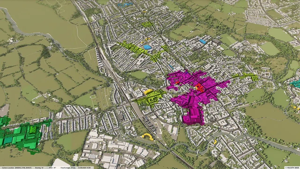
From transportation and zoning to environmental factors, VU.CITY Oxford 3D model data layers provide essential insights for more informed and confident decision-making.
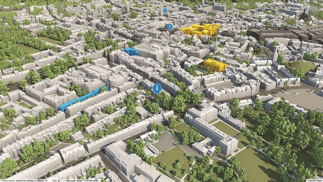
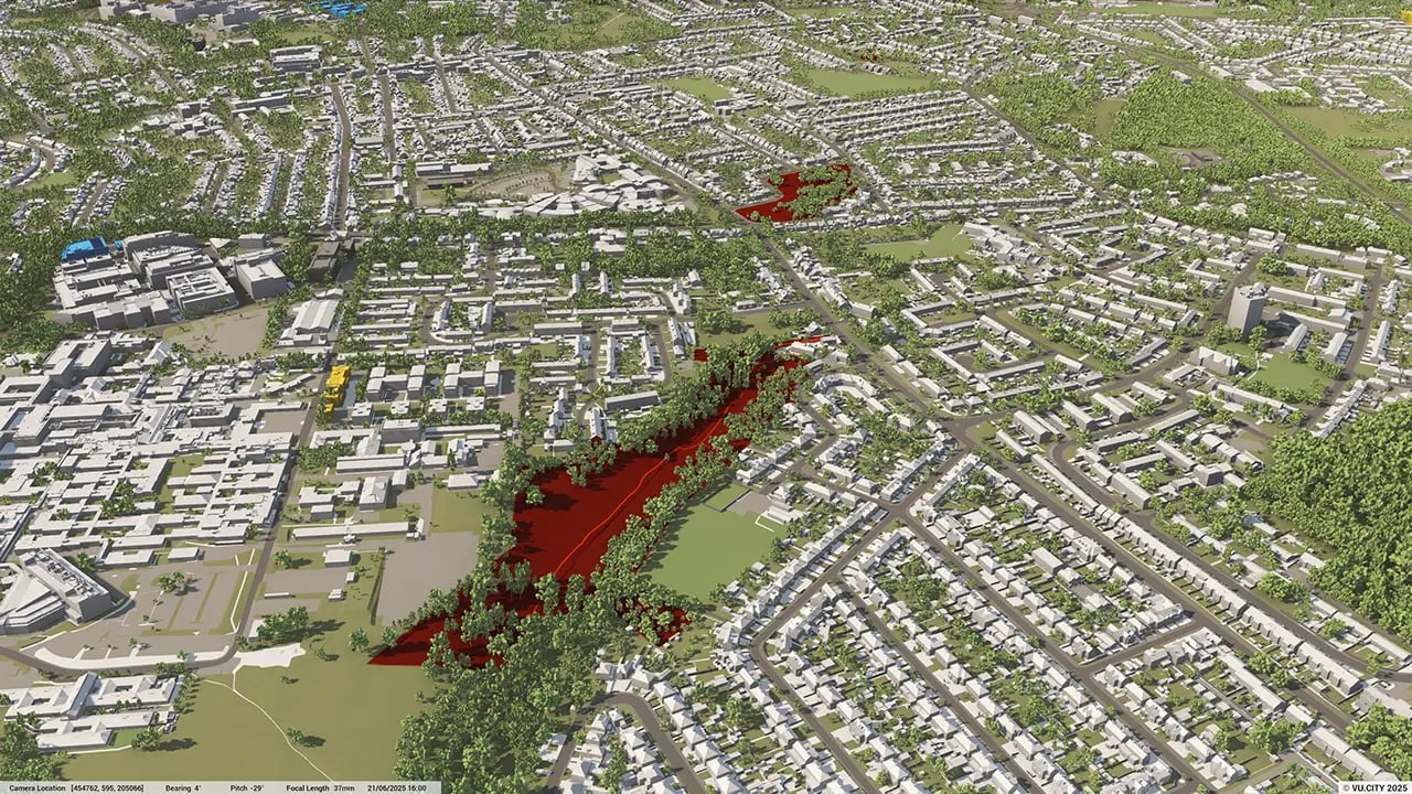
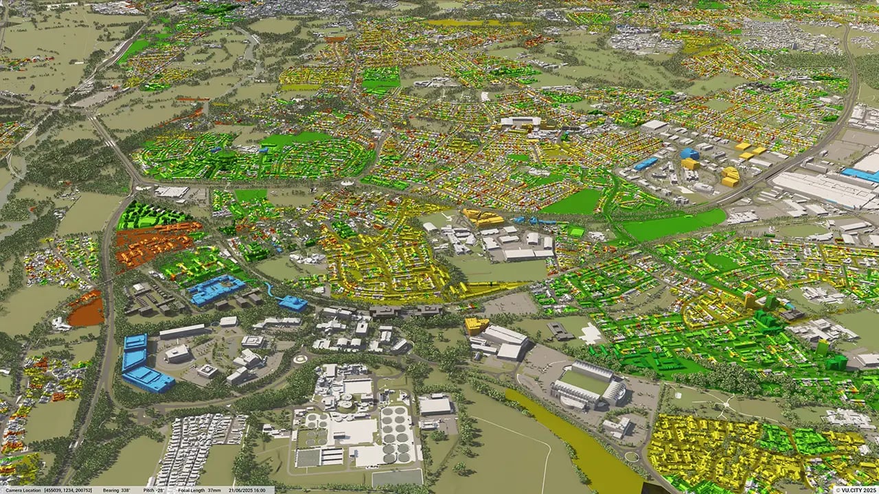
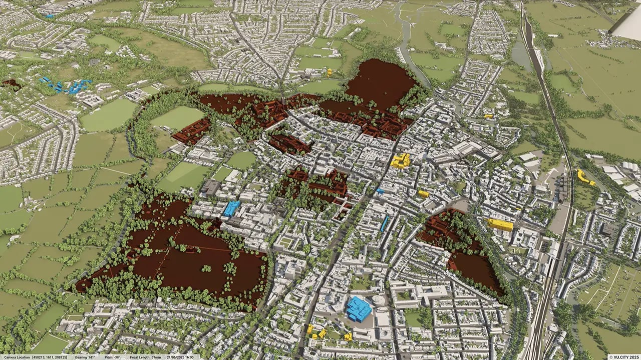
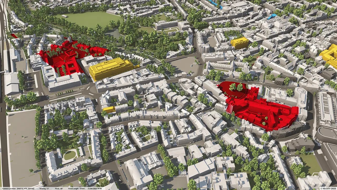
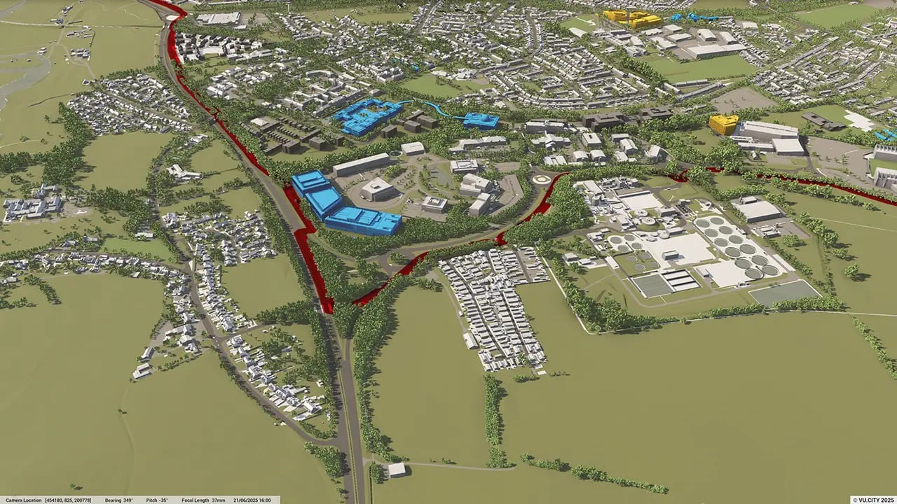
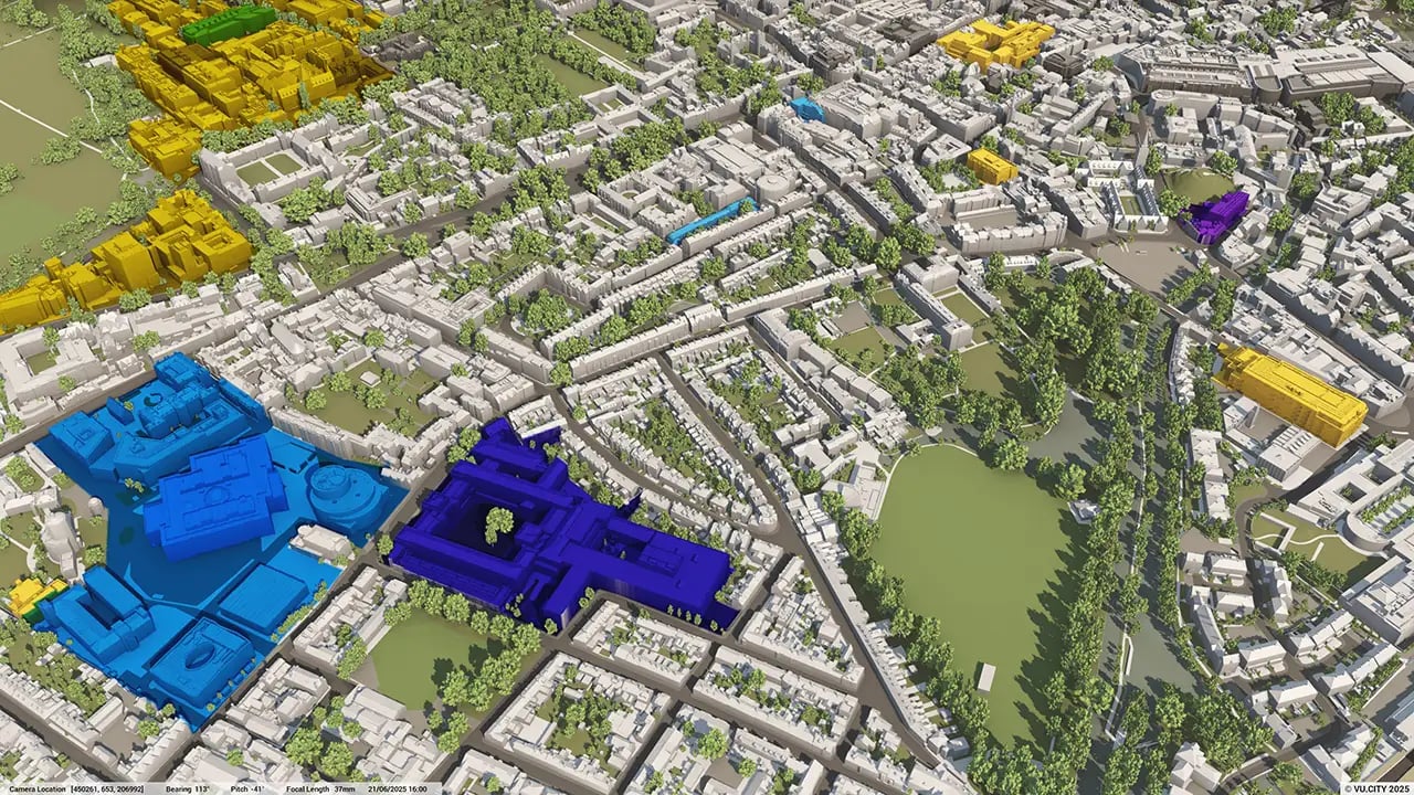
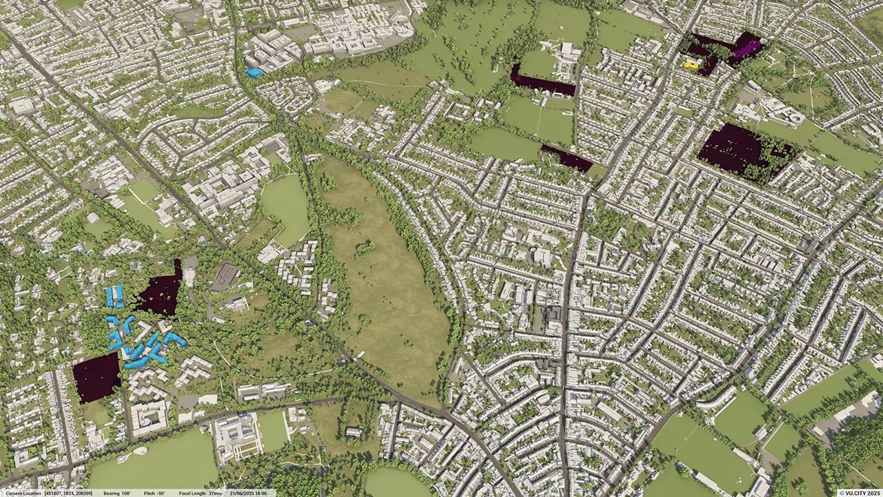
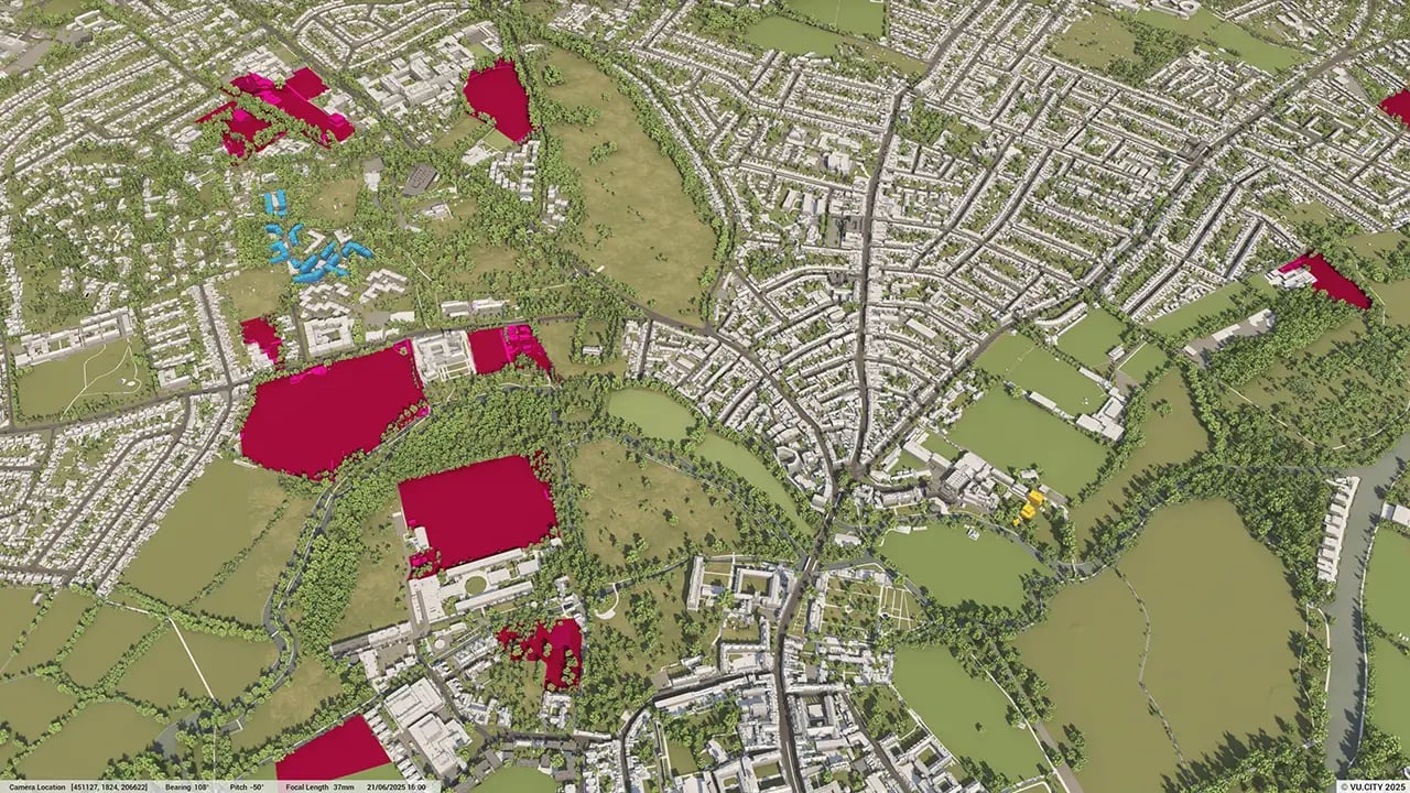
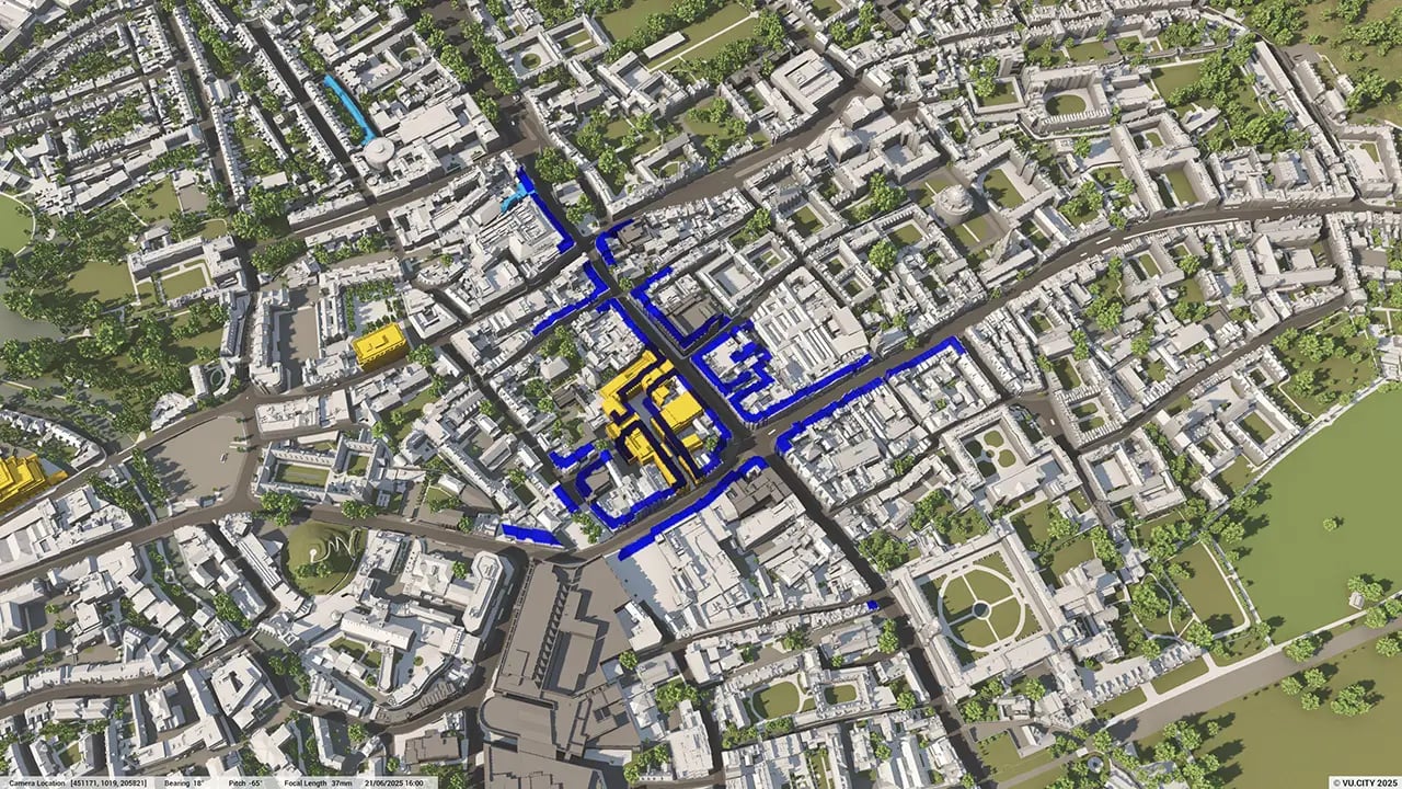
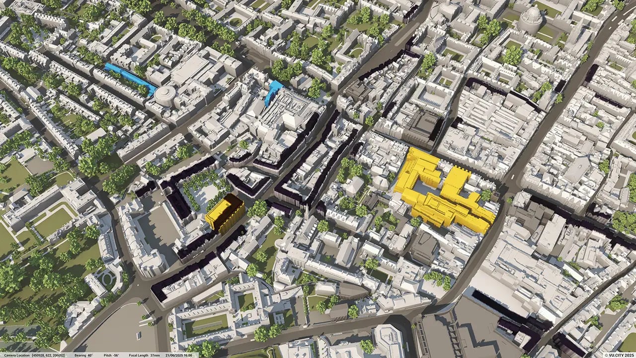
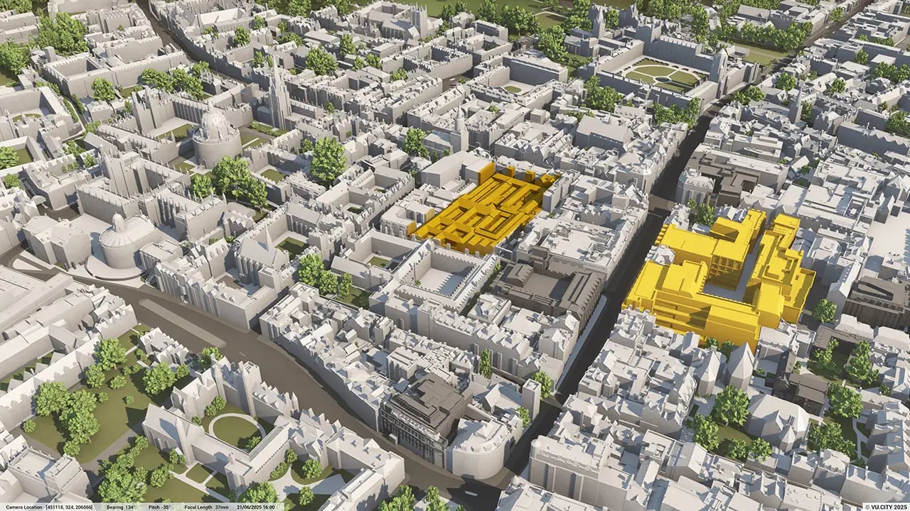
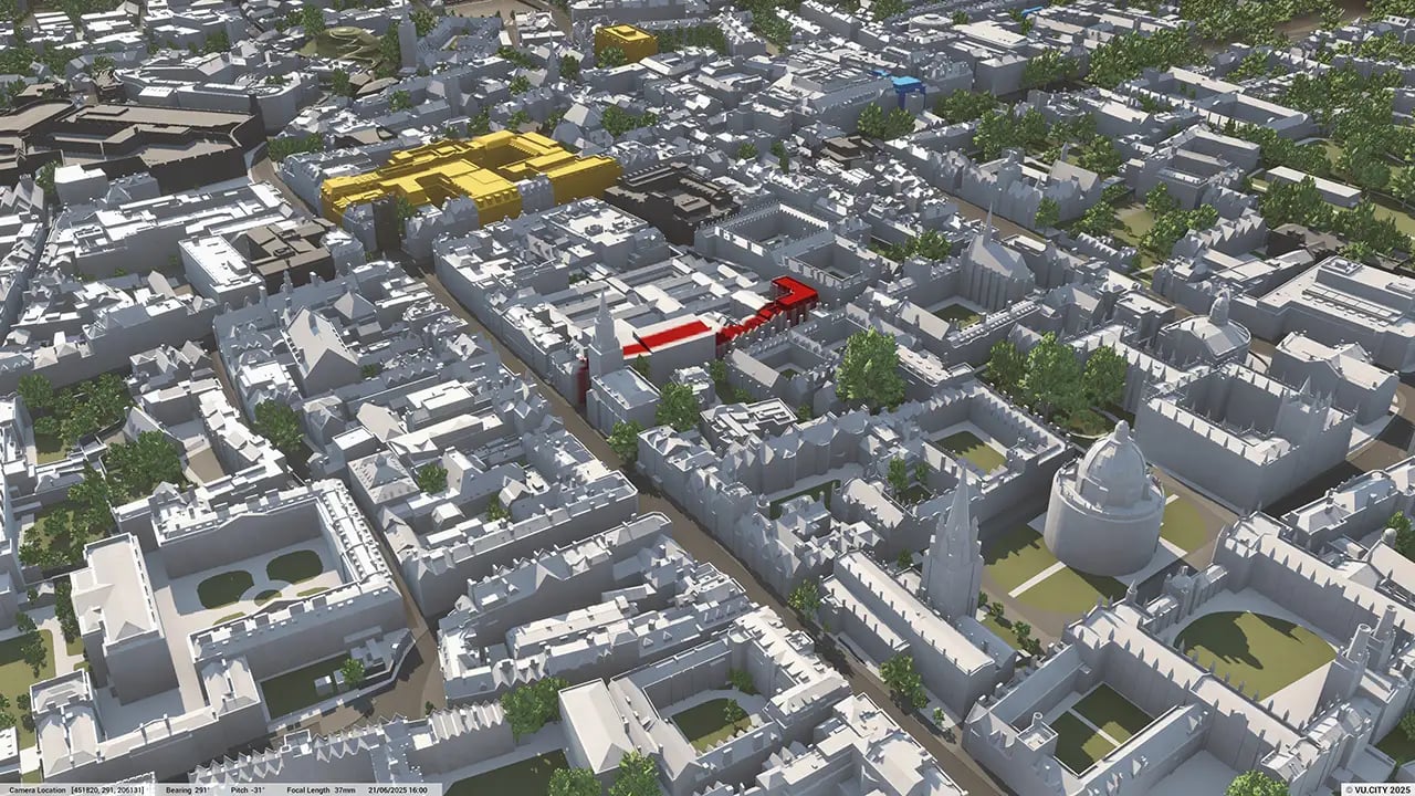
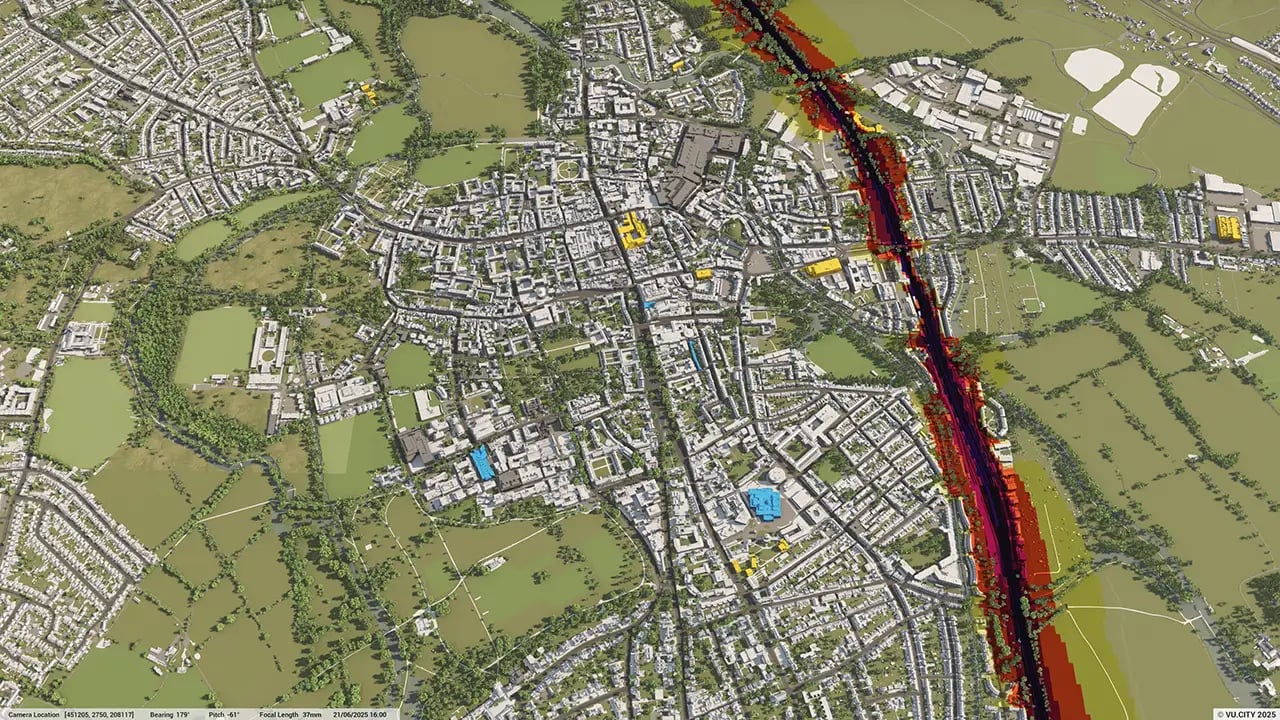
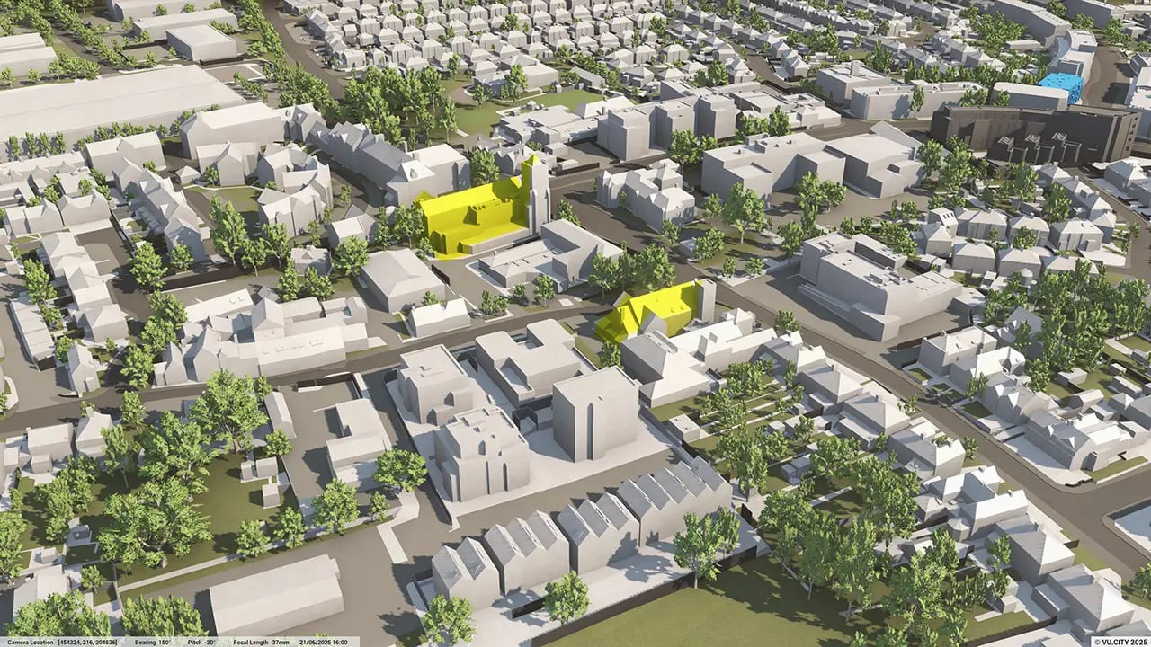
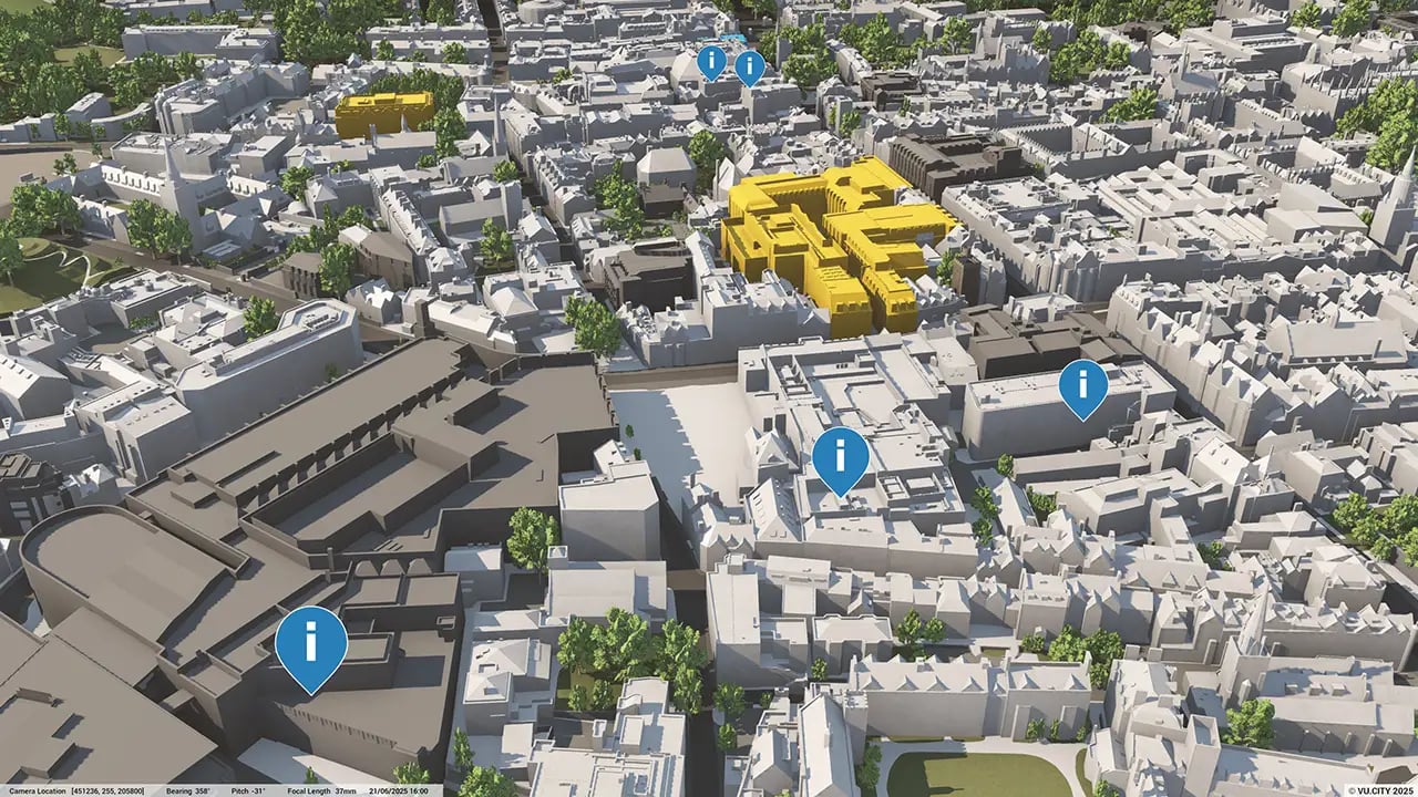
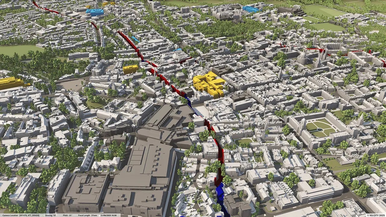

Oxford is known as the city of dreaming spires and protecting these is key.
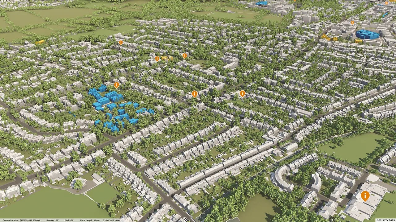
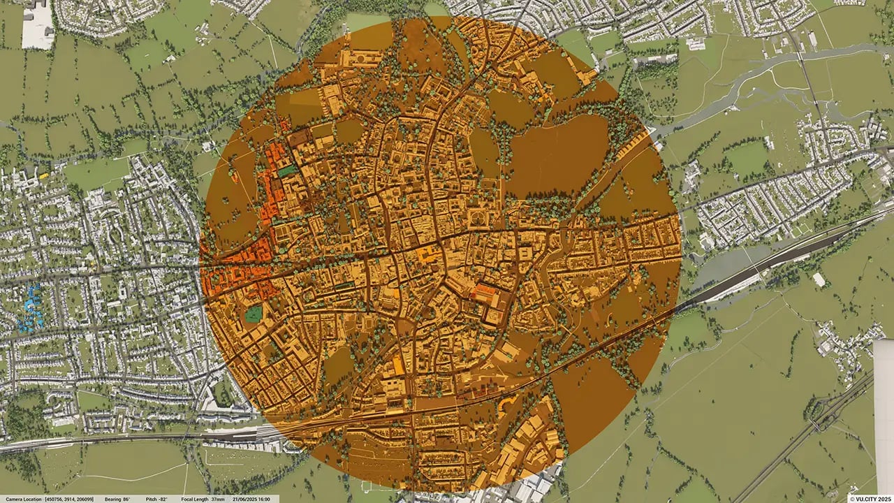
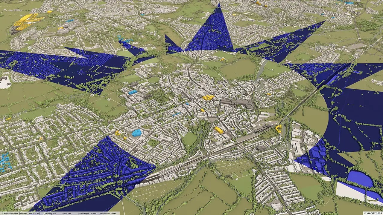
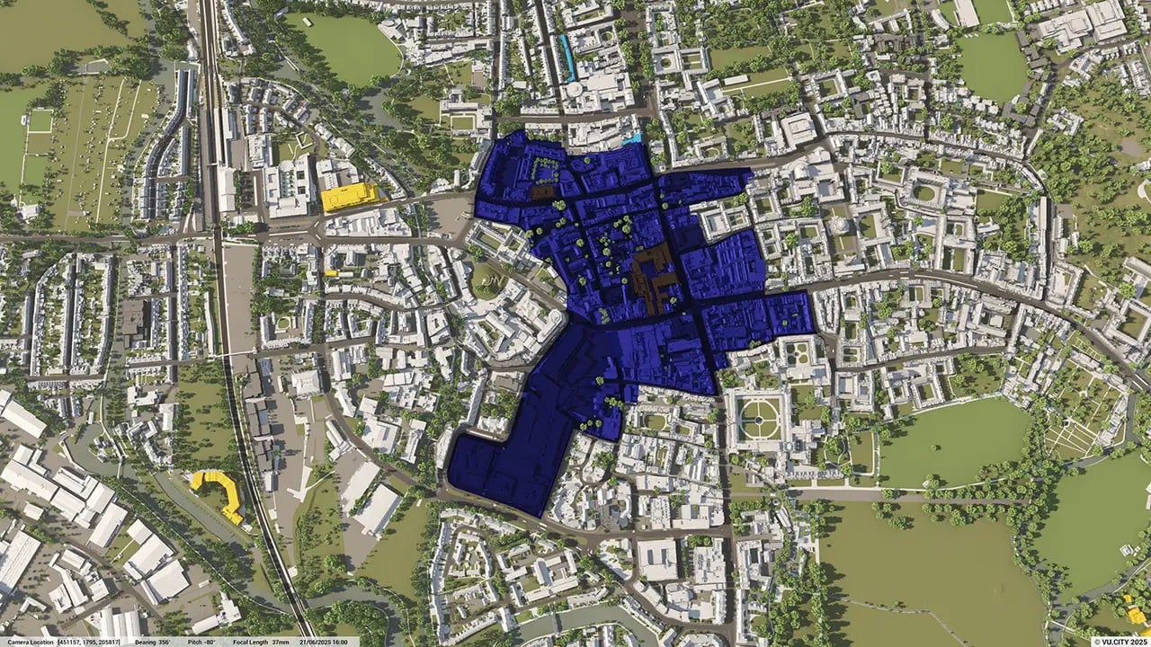
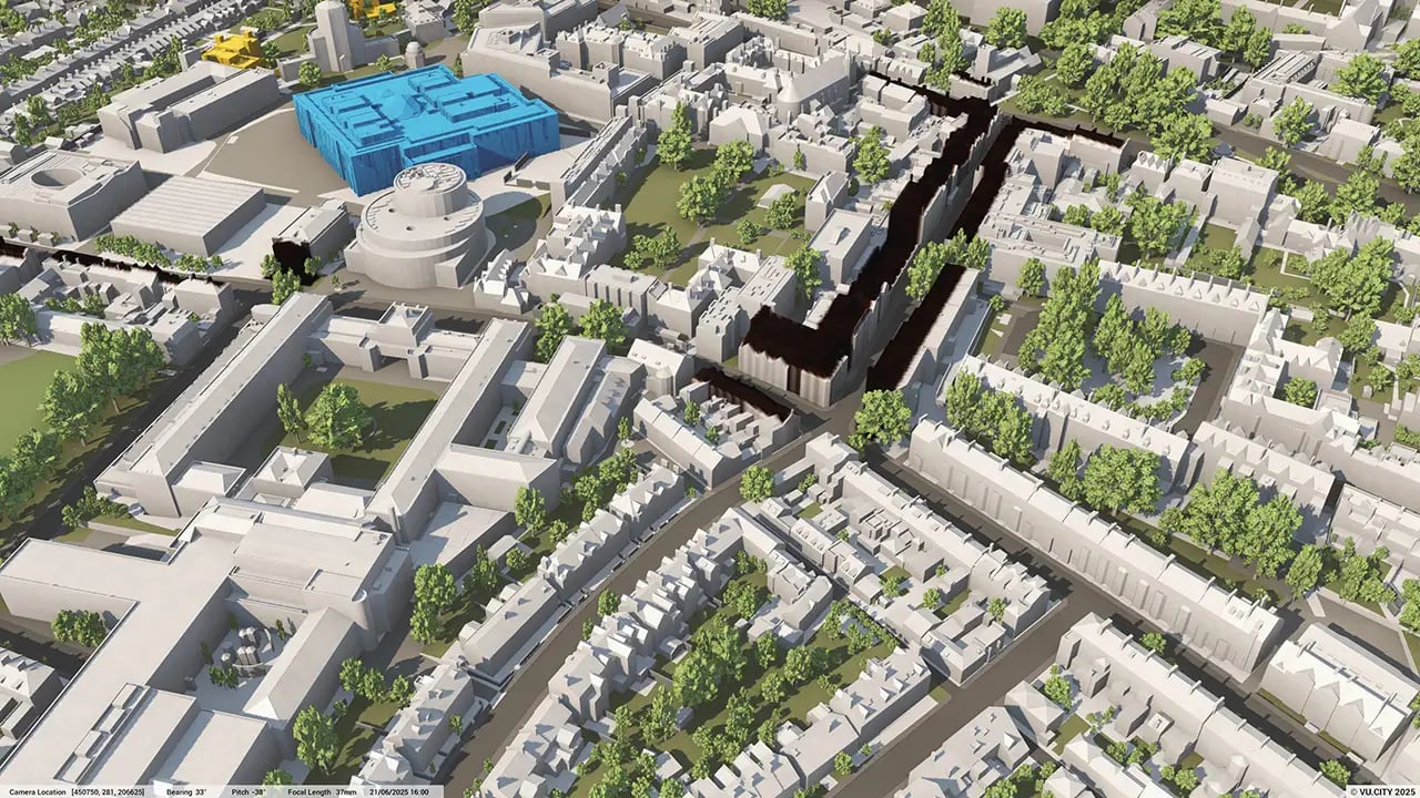
With 18 conservation areas and over 1,200 listed buildings, Oxford is famed for its historic buildings and skyline, so any interplay with the skyline must make a positive contribution: the city therefore has a series of strategically important view cones which are protected views from ten different aspects and are key to planning policy. VU.CITY Oxford allows for many of these long range views to be fully analysed, and the impact of a scheme on the skyline to be understood. Features, such as the AOD tool, allows for height sensitivities in the centre of the city to be considered easily.
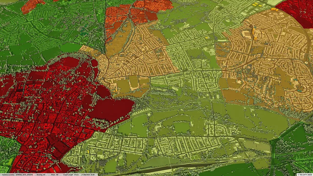
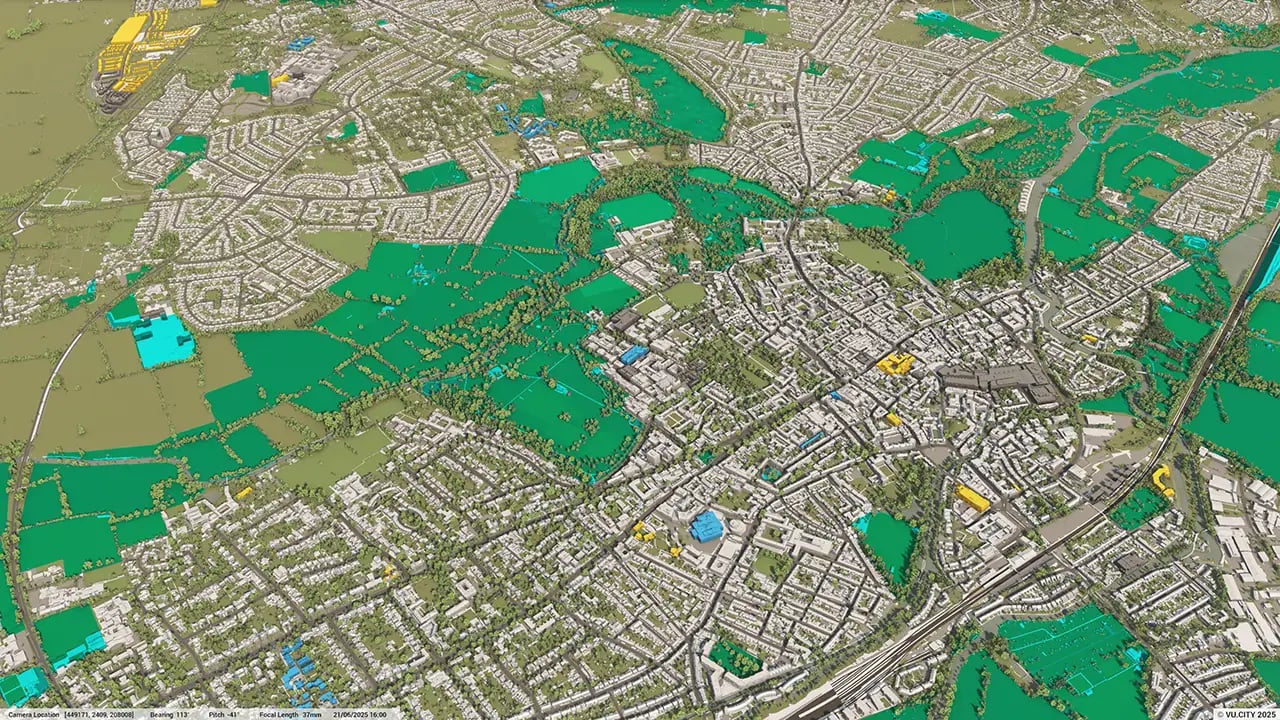
Oxford’s notable past is set to be matched by an interesting future as it anticipates significant economic and population growth: the OxCams Arc is a significant area between Oxford, Milton Keynes and Cambridge and a government ambition for securing sustainable growth and prosperity for all.
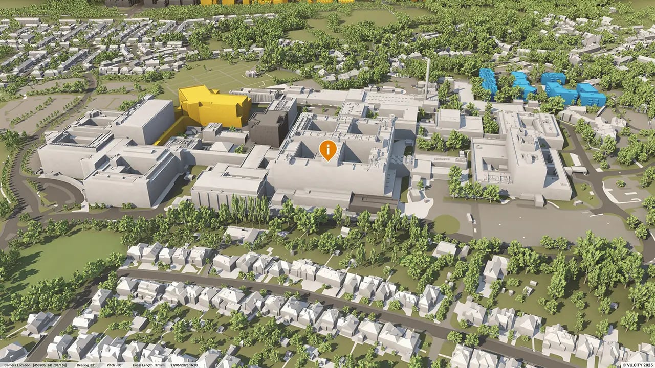
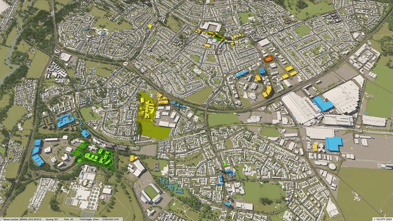
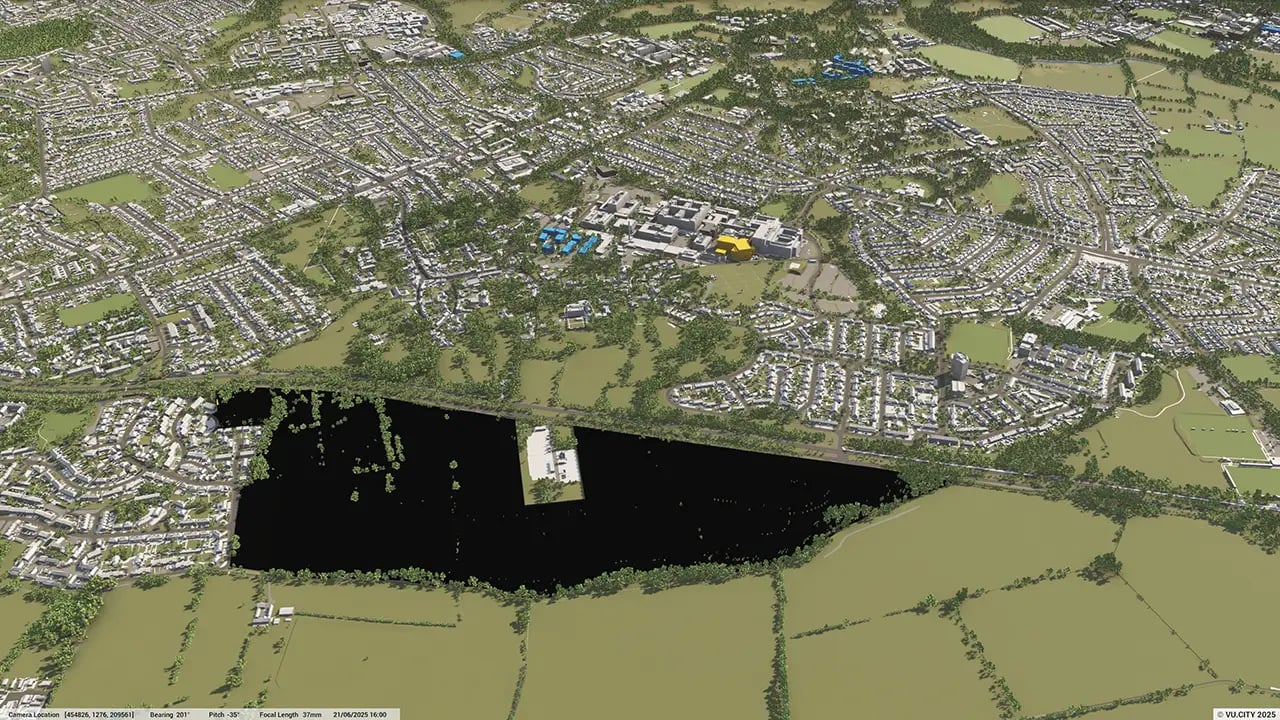
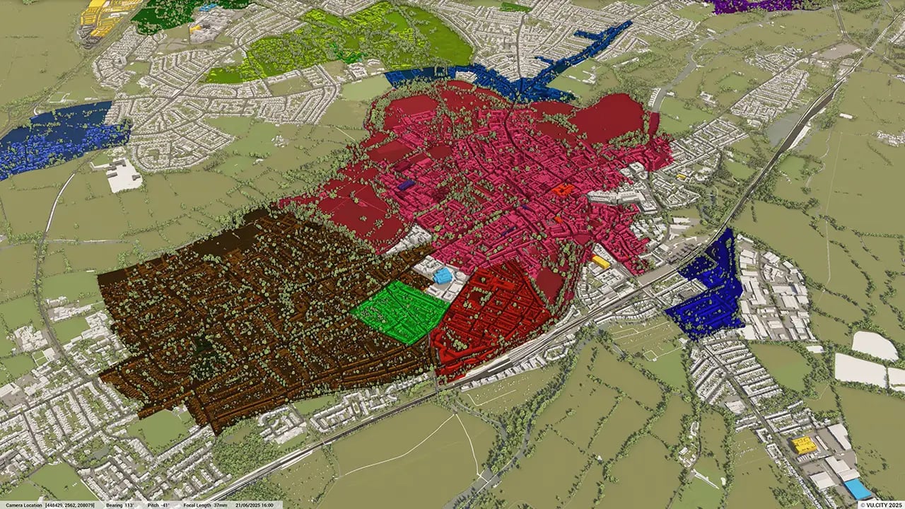
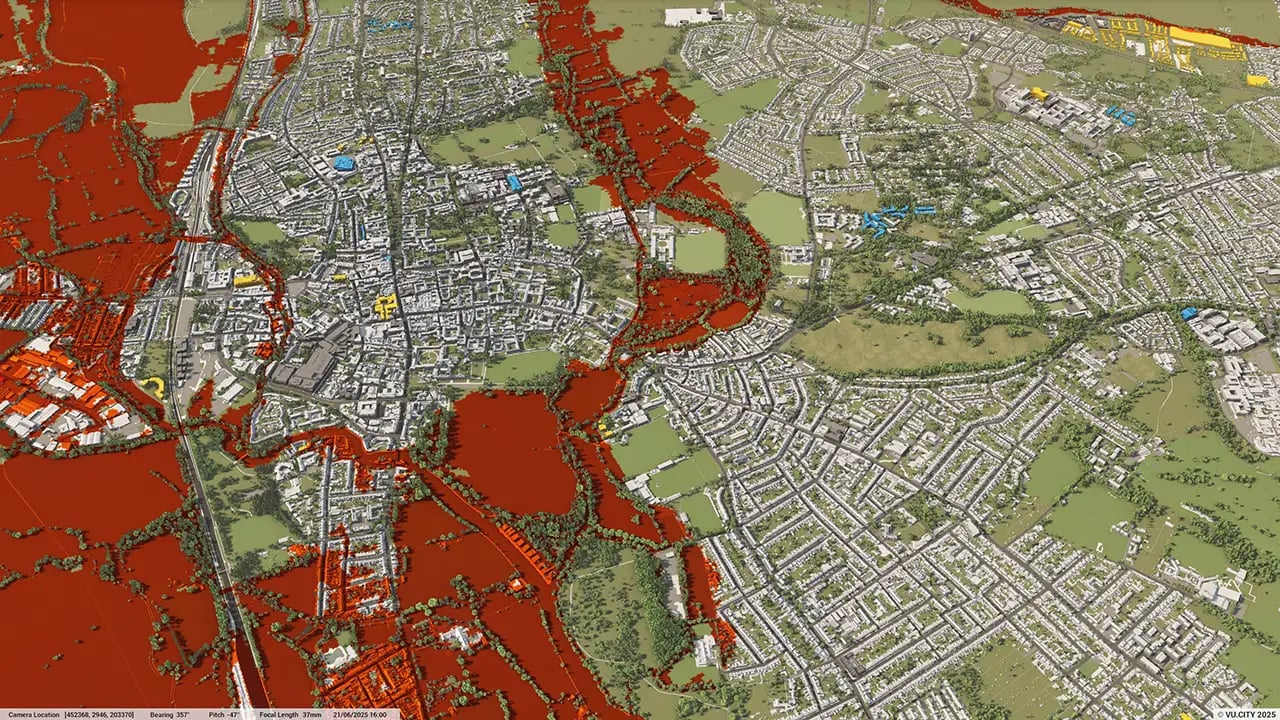
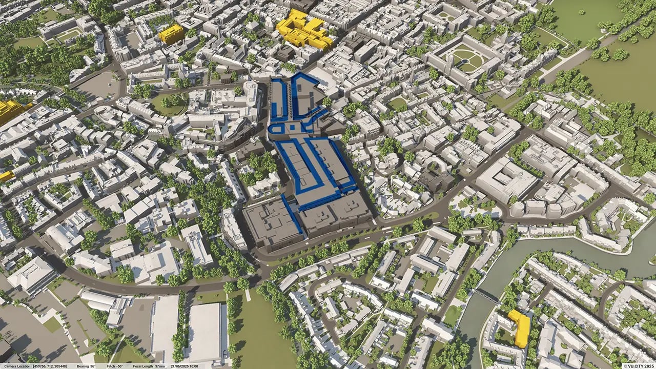
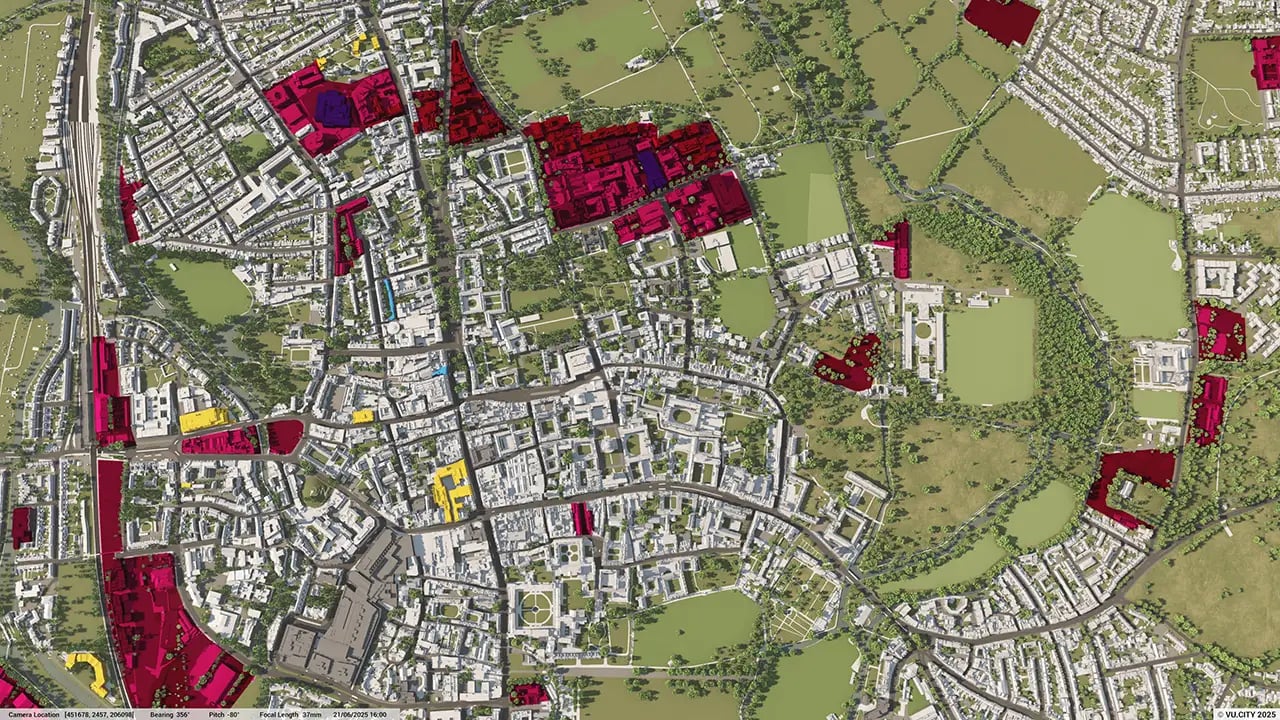
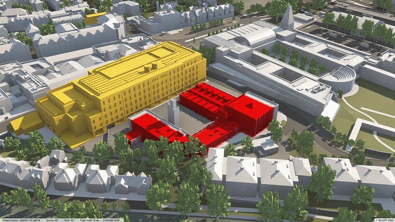
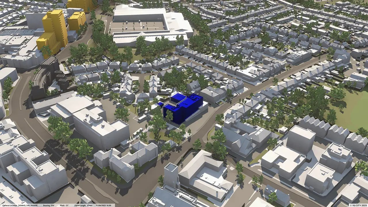
Oxford’s situational constraints raise questions about the need for increased density in areas with potential for development. While daylight, sunlight and privacy will be among the many important considerations, VU.CITY Oxford makes examining such constraints, in both the present and the future, easy and straightforward to ensure that Oxford’s famed picture-postcard views remain here to stay.
Users of VU.CITY Oxford include Cityscape Digital, Oxford City Council, Oberlanders and Hawkins\Brown and they are already taking advantage of the model’s many benefits. From being able to understand and assess a site’s opportunities and challenges, testing designs in context, enhancing pre-app conversations and planning submissions, to improving how everyone involved collaborates.
Trusted by 6,000+ users across 26 cities
Architects, developers, local authorities, urban planners, and more trust VU.CITY to help achieve their goals.
Organise and visualise your geospatial data in accurate context with our comprehensive suite of digital design and development tools.
VU.CITY Oxford: 3D Model Features and Planning Tools


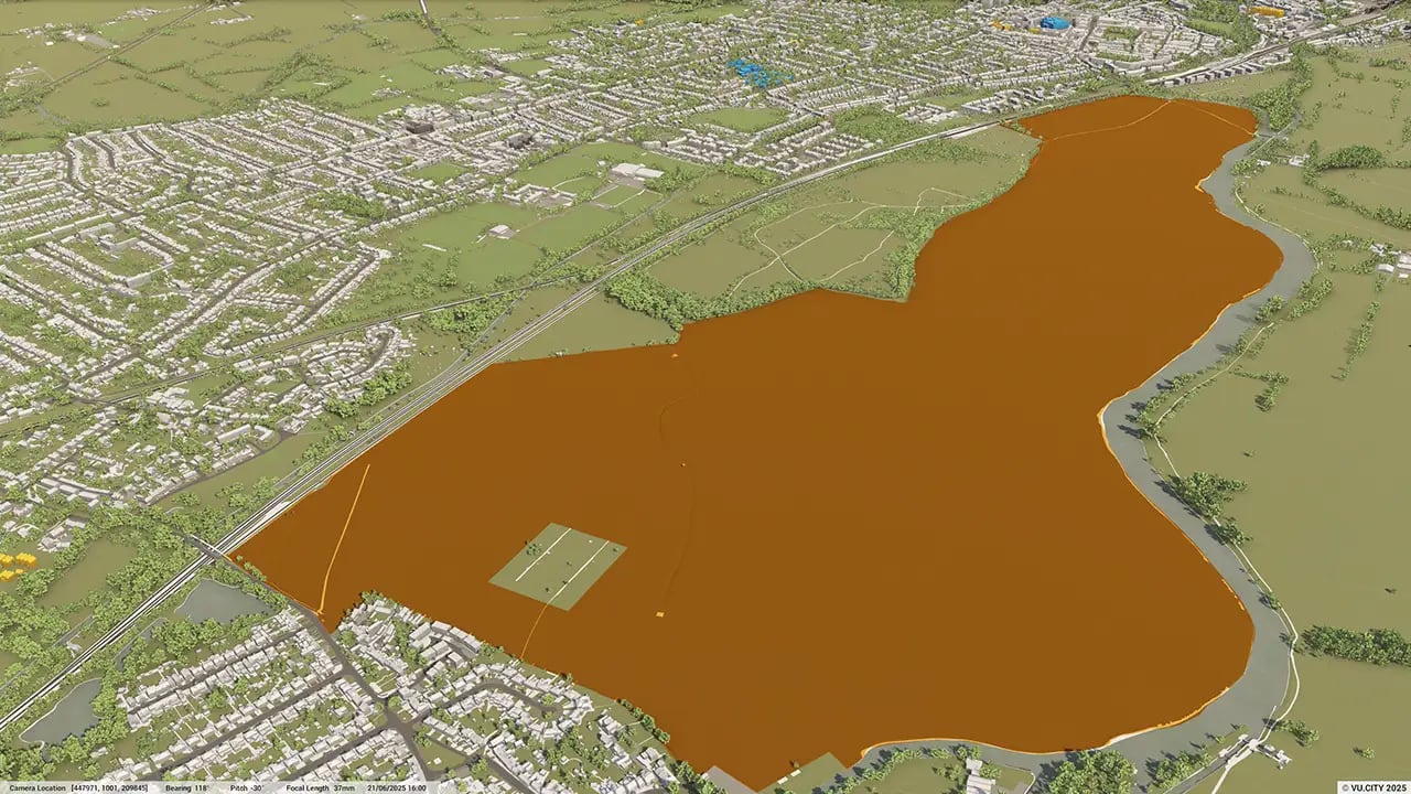
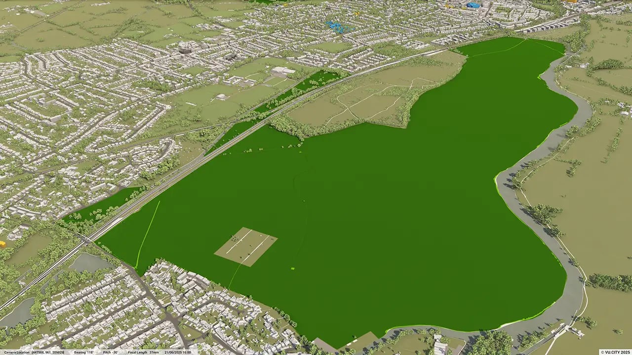
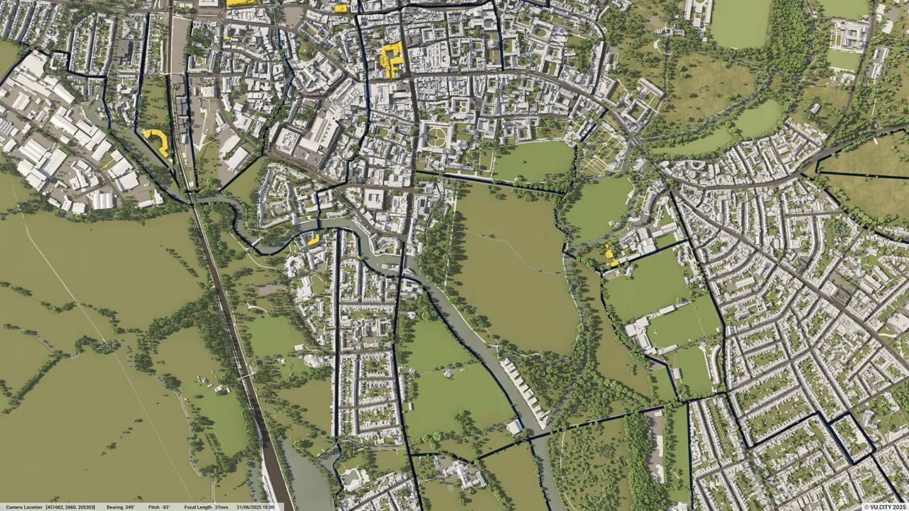
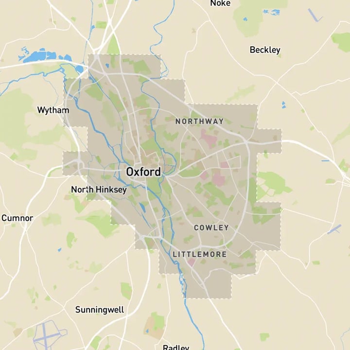
Oxford 3D tile coverage
Whether you’re focusing on a single neighbourhood or the entire cityscape, VU.CITY provides full coverage with unmatched precision.
VU.CITY Oxford FAQs
Here are some frequently asked questions about VU.CITY's Oxford 3D Digital Twin and Model.
What is VU.CITY Oxford, and how does it support urban planning in Oxford?
VU.CITY Oxford is a high-detail 3D model designed to aid planners, developers, and architects in visualising and analysing proposed projects within Oxford, promoting better-informed planning decisions.
How can VU.CITY Oxford enhance planning applications and approvals?
With accurate 3D visualisation of projects in Oxford's urban landscape, VU.CITY Oxford helps streamline planning applications, providing clarity and context that improve communication with stakeholders and authorities.
What data layers are available in VU.CITY Oxford for comprehensive project analysis?
VU.CITY Oxford offers data layers such as transportation infrastructure, historical landmarks, environmental zones, and conservation areas, supporting planners in creating compliant and well-integrated developments.
How does VU.CITY Oxford promote sustainable urban planning and heritage conservation?
By visualising Oxford’s heritage areas alongside environmental data, VU.CITY Oxford aids in sustainable urban planning that respects historical sites and meets eco-friendly goals.
Can VU.CITY Oxford be used to engage Oxford residents in development projects?
Yes, VU.CITY Oxford allows for interactive visualisations that make public consultations more transparent, helping residents understand the impact of new developments and providing feedback opportunities.
Explore digital 3D geospatial solutions for the built environment
VU.CITY provides clear, powerful tools for key decision-makers across the built environment, helping them visualise and shape the future of cities with confidence and precision.
Make smarter decisions with data-driven insights, from infrastructure to sustainability.
Unlock the power of Generative AI for optimal design and streamlined decision-making.
Bring your designs to 3D life with state-of-the-art modelling tools.
Collaborate seamlessly across studies, planning, and design.
Utilise advanced 3D models and a data-driven approach with our flexible ZTV service.
Bring Your Vision to Life with a 3D Flythrough Video.
26 UK & International Cities
Over 3,000+ sq km accurate to 15cm | Tools to scope, create & collaborate on designs
Shape Tomorrow’s Cities, Today.
Begin Your Free Trial Now.
- 1
- 2
- 3

