
New York 3D Model
VU.CITY New York helps professionals in cities and across the built environment save time and money while improving project outcomes.
Our accurate and interactive 3D digital twin model of New York, enriched with data and powerful tools, empowers teams to collaborate seamlessly, analyse real-world impacts, and make informed decisions faster—whether you’re working on design, development, or urban planning.
-
16DATA LAYERS
-
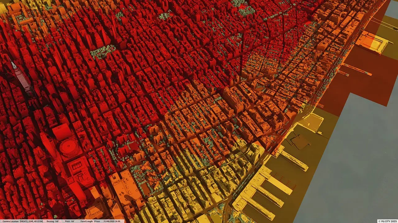
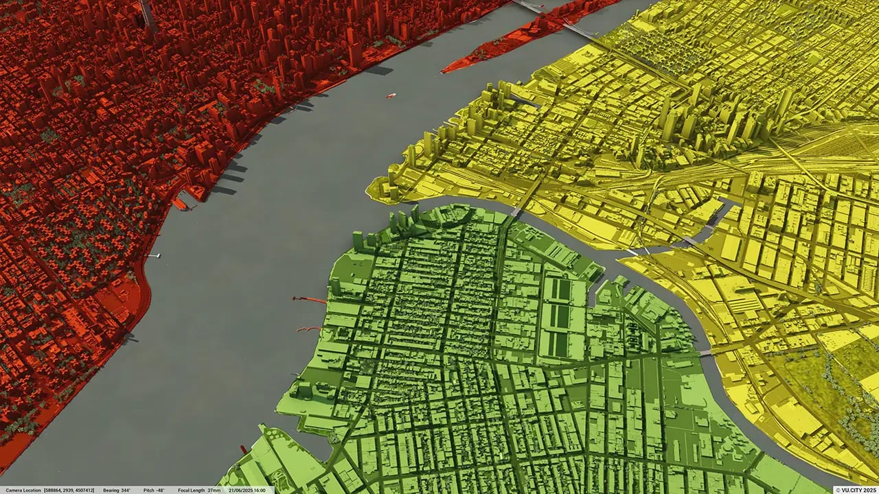
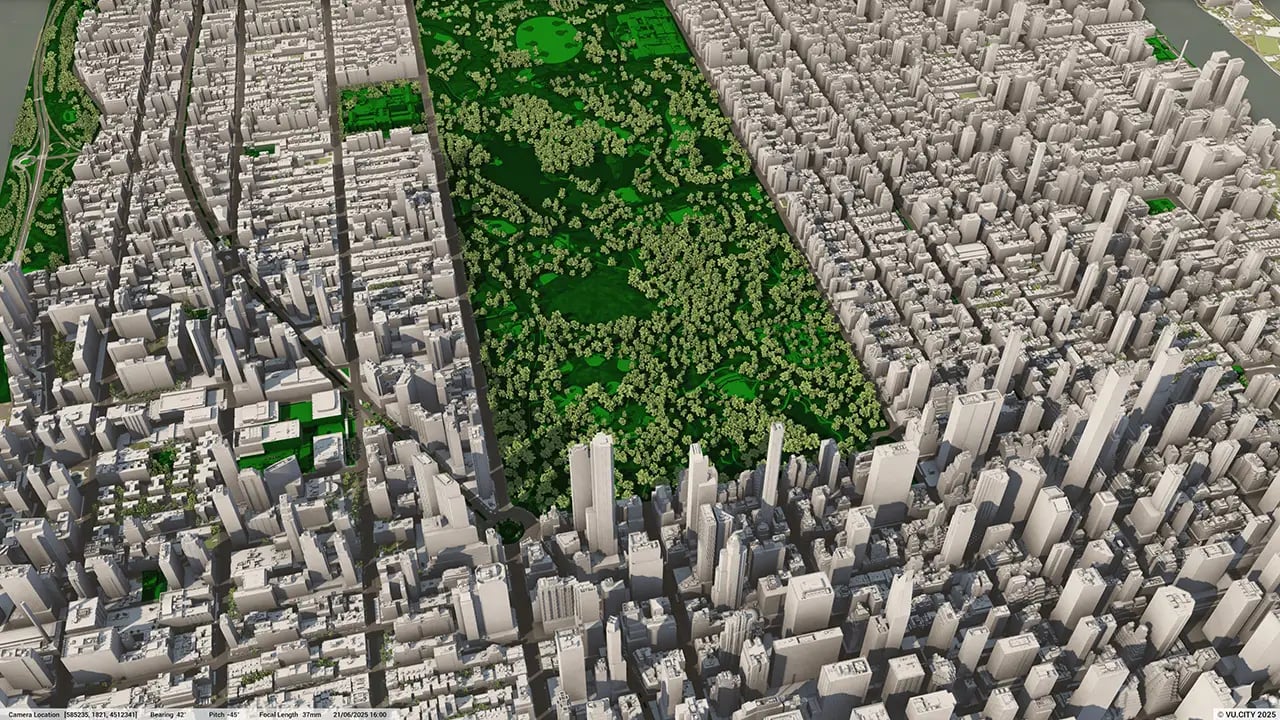
116 sq kmMODELLED TO 15CM ACCURACY
-
22Consents approved VU.CITY
-
91,758TREES, ACCURATE HEIGHT AND CANOPY

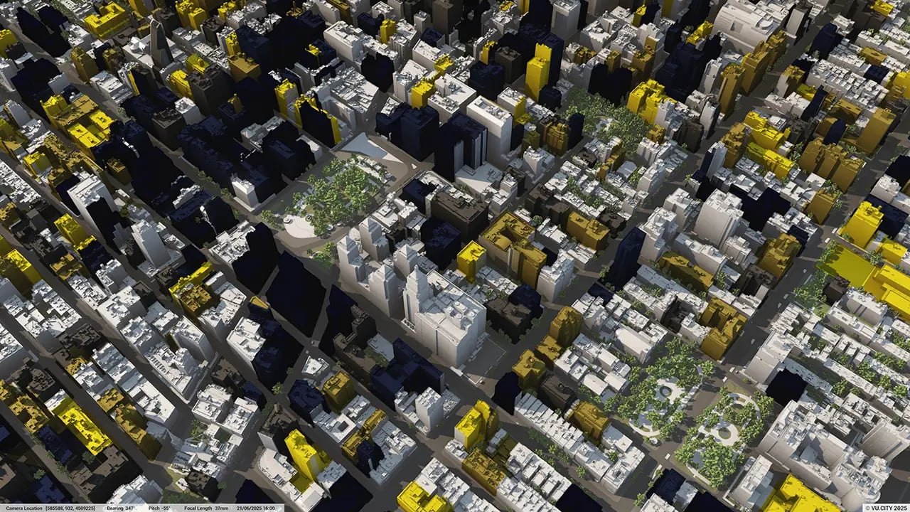
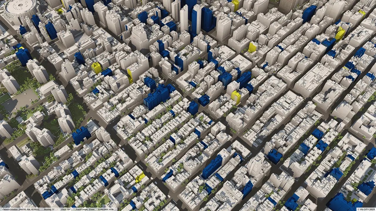
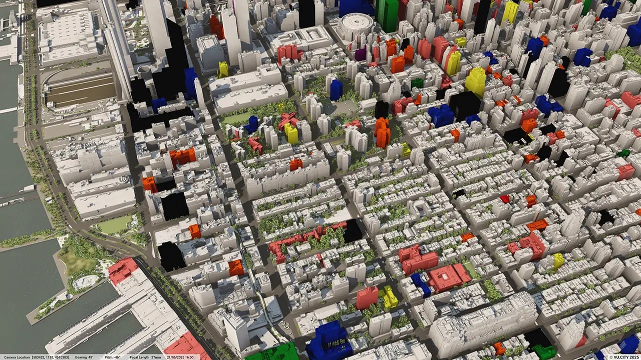
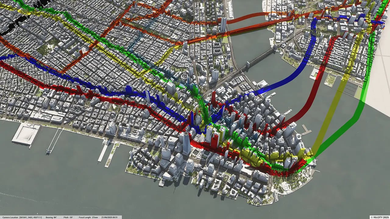
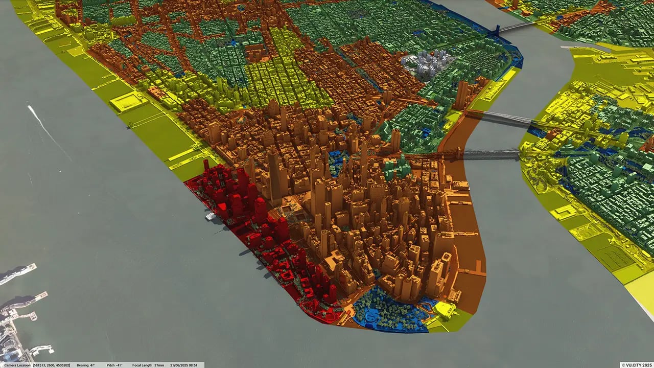
New York data layers
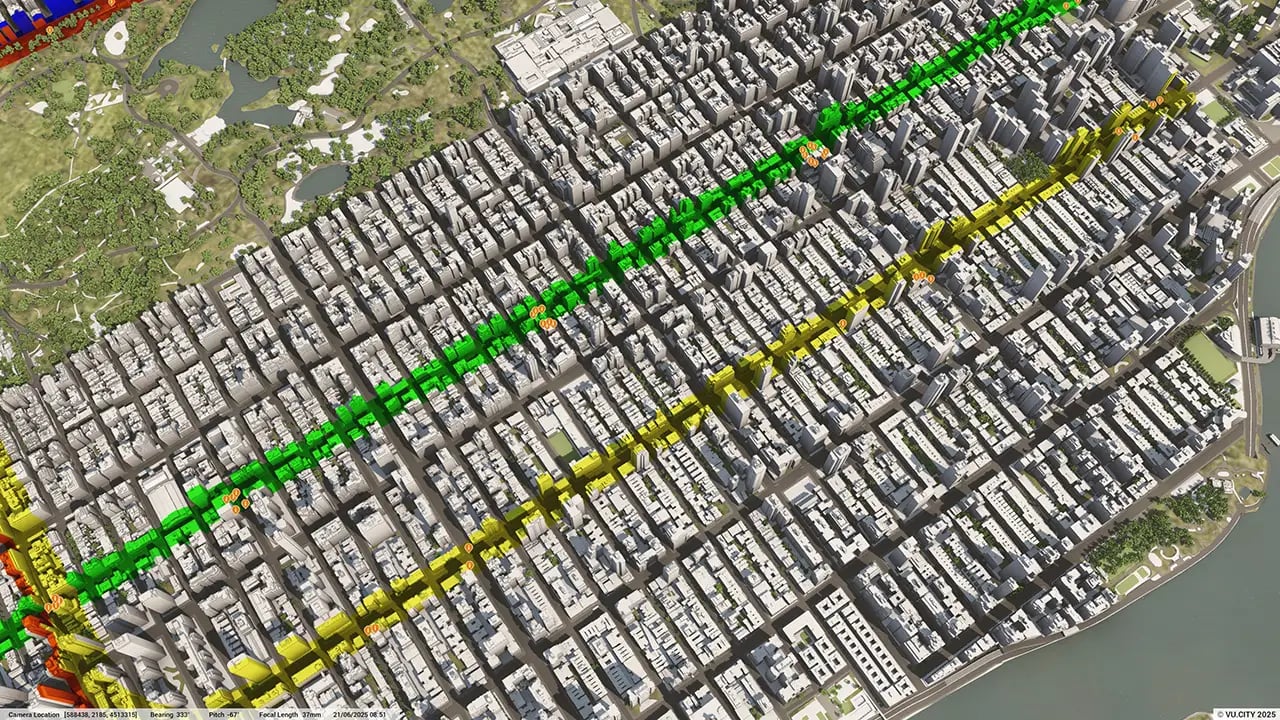
From transportation and zoning to environmental factors, the data layers in VU.CITY’s New York 3D model provide essential insights for more informed and confident decision-making.
.webp?width=1280&height=720&name=vucity-new-york-data-layers-5_planning%20-%20construction%20projects%20(points).webp)

New York City has the most iconic skyline in the world and yet is renowned for its ‘pull down and build over again spirit’ with constant architectural change. Little wonder that Robert Moses, the city planner who shaped NYC for 30 years into a contemporary city once said, ‘New York will be a great town if they ever finish it.’
OneNYC 2050 is a strategy to secure the city’s future with big solutions to big challenges, including plans to create and preserve 300,000 units of affordable housing and generate 100,000 good-paying jobs.
OneNYC 2050 details plans to create a network of quality open spaces that connect playgrounds, parks, and plazas to homes and workplaces with bicycle and pedestrian infrastructure, and to activate hidden open spaces, including the waterfront and areas under elevated trains and highways.
VU.CITY New York City is a 3D digital model that will revolutionise how professionals across the built environment approach this iconic city’s challenges. It creates a virtual environment in which to test new ideas, with rich functionality and data, and lead to a clear understanding of what’s proposed for better decision-making and positive outcomes for the city's future—whether it's sustainability, infrastructure, or community development.
Trusted by 6,000+ users across 26 cities
Architects, developers, local authorities, urban planners, and more trust VU.CITY to help achieve their goals.
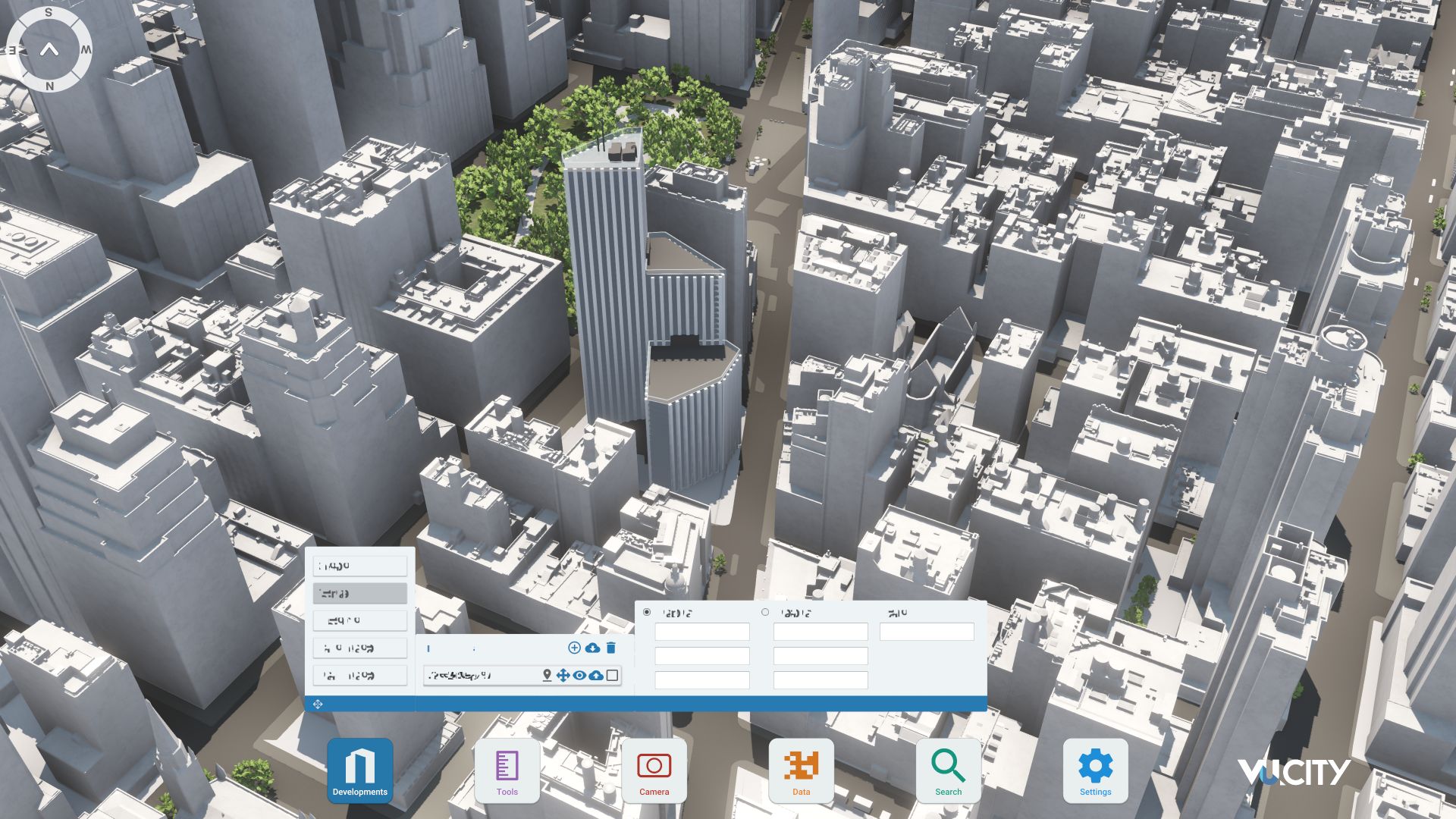
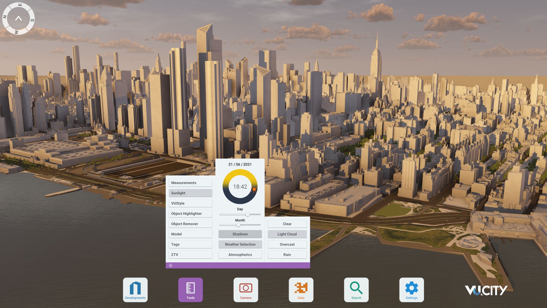
Organise and visualise your geospatial data in accurate context with our comprehensive suite of digital design and development tools.
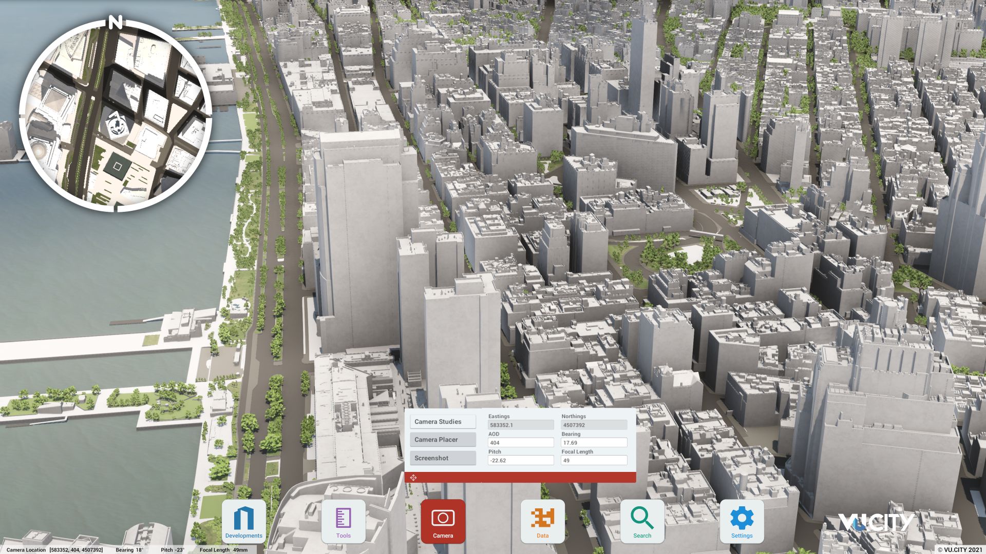
VU.CITY New York: 3D Model Features and Planning Tools
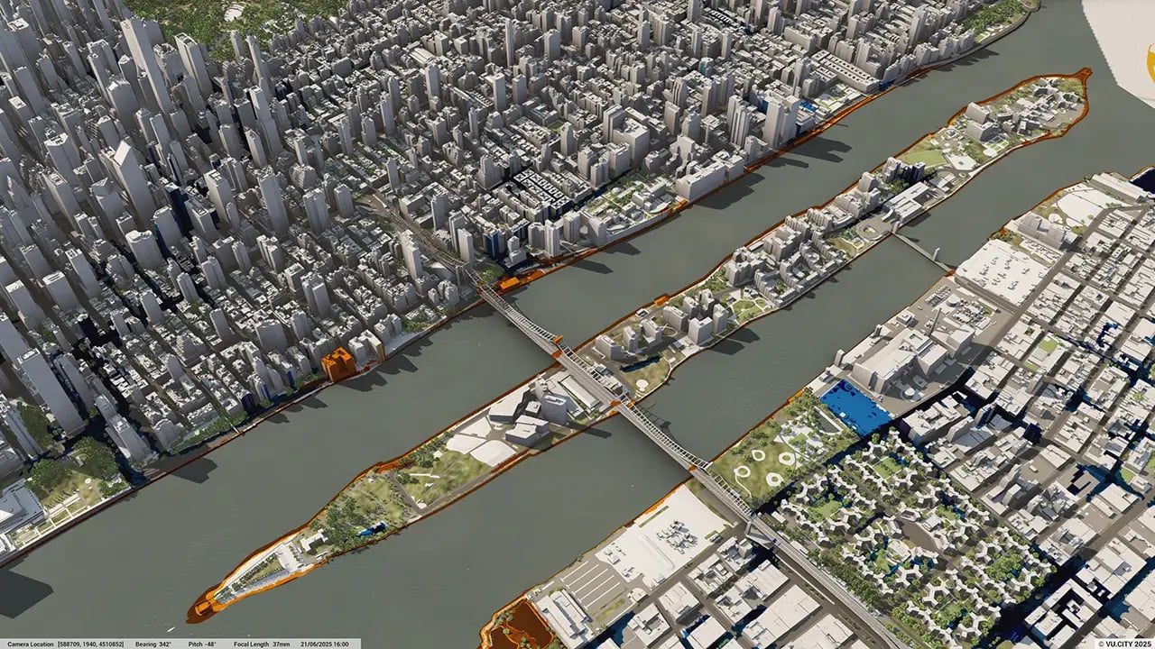
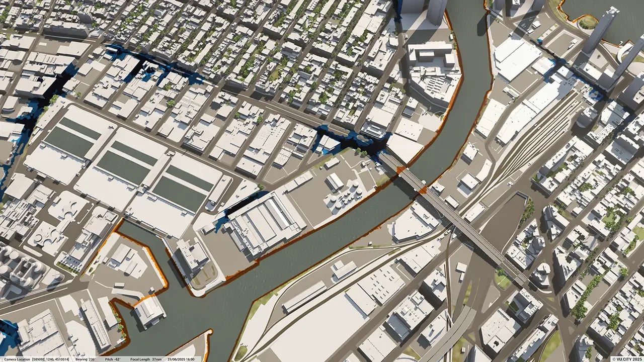
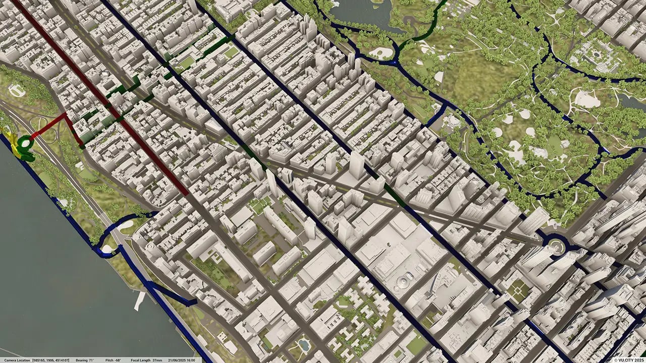
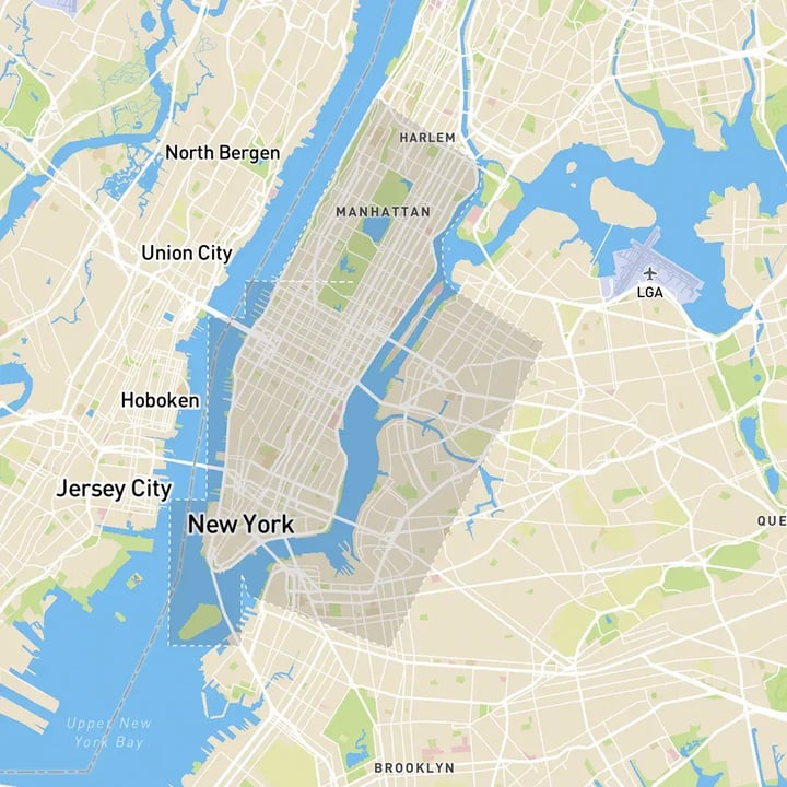
New York 3D tile coverage
Whether you’re focusing on a single neighbourhood or the entire cityscape, VU.CITY provides full coverage with unmatched precision.
VU.CITY New York FAQs
Here are some frequently asked questions about VU.CITY's New York 3D Digital Twin and Model.
How does the VU.CITY New York model help with sustainable urban planning?
The model supports sustainable planning by providing tools for sunlight analysis, carbon impact assessments, and environmental data layers. These features align with New York’s OneNYC 2050 goals for reducing emissions and creating green infrastructure.
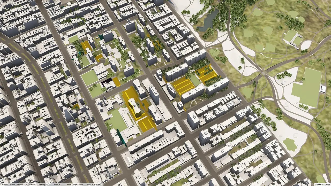
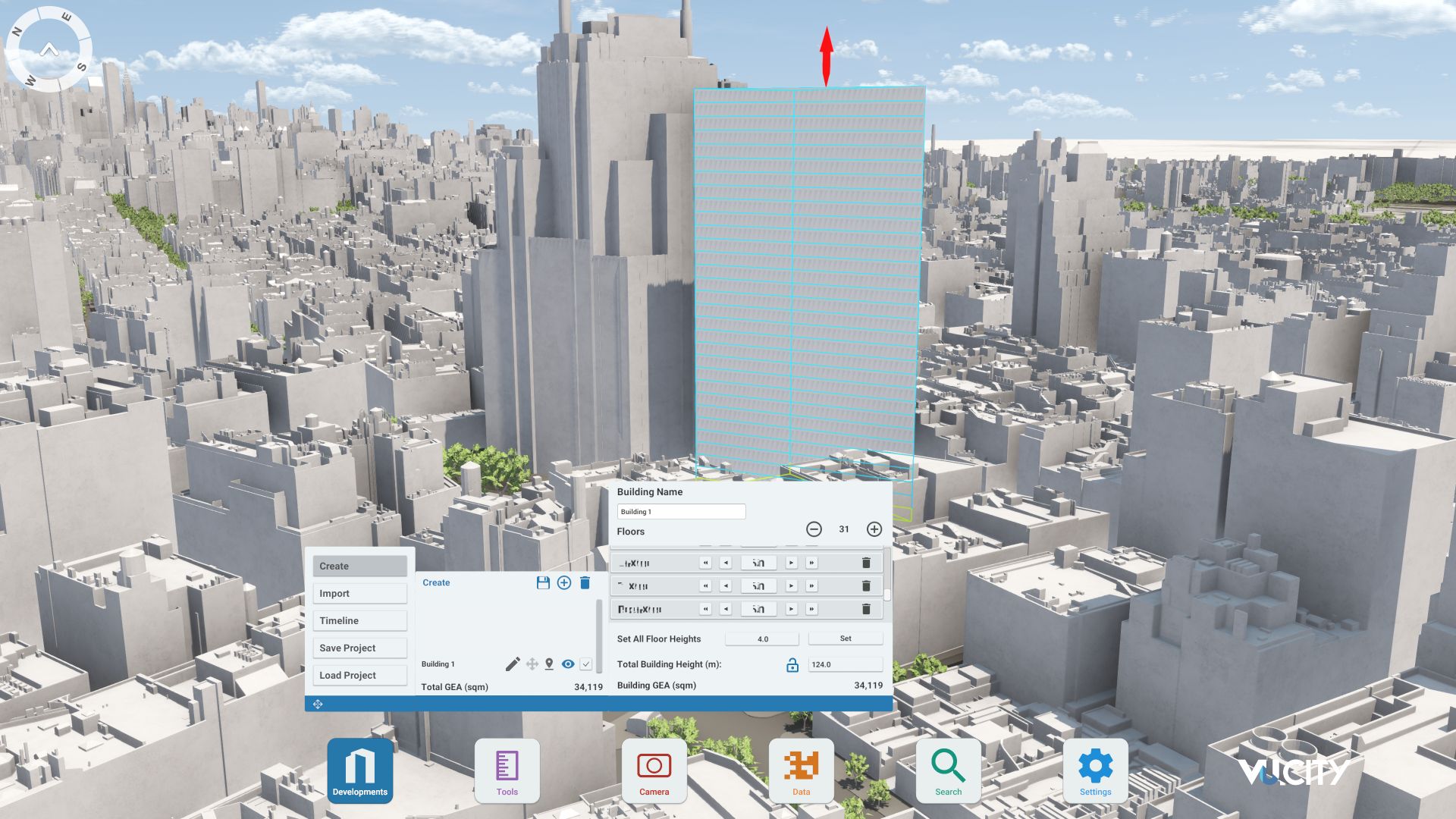
Can I use the New York model to test different design and massing options?
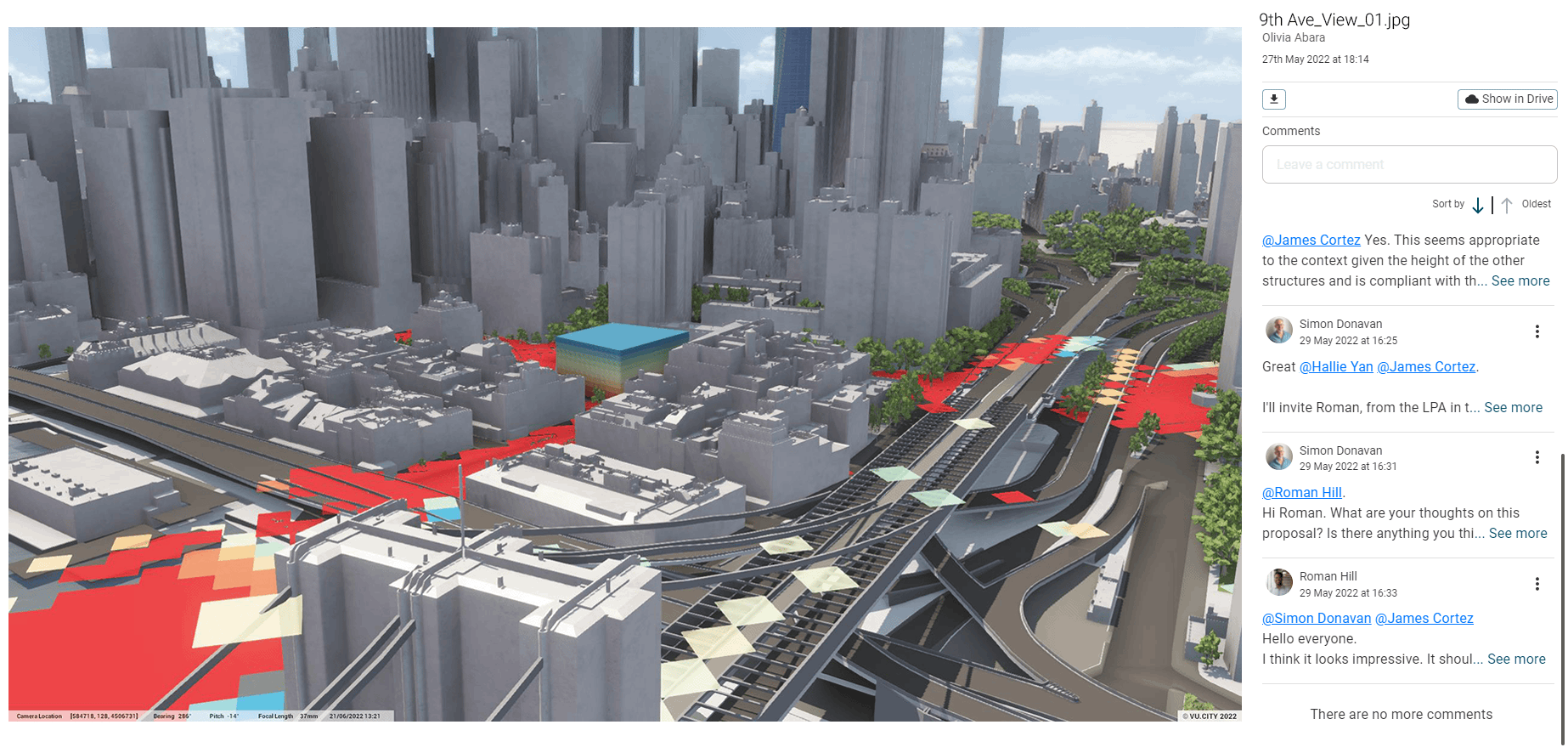
Yes, the VU.CITY New York model allows users to explore multiple massing options and quickly assess General Employment Area (GEA) potential. This enables developers to refine designs early and make well-informed adjustments based on visual impact.
How does the VU.CITY New York model improve stakeholder engagement?
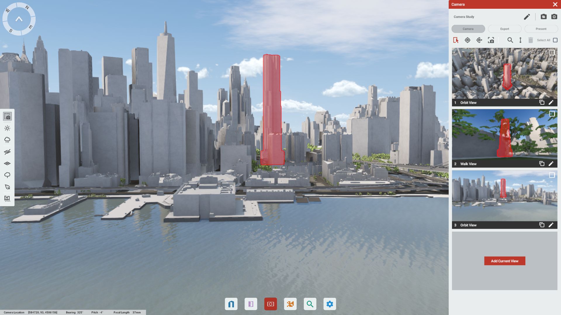
With tools like the Presenter Tool and camera studies, you can create high-quality visuals from key viewpoints, helping stakeholders visualise the impact of projects on New York’s iconic skyline. This fosters clearer communication and encourages informed feedback.
What environmental and zoning data layers are available in the New York model?
The model includes layers for sunlight analysis, flood risk zones, zoning regulations, and green spaces, allowing planners and developers to make environmentally conscious decisions in line with New York’s urban policies.
Who benefits from using the VU.CITY New York model?
Architects, planners, developers, and city officials benefit from this model. It streamlines complex urban planning processes, supports informed decision-making, and helps align new developments with New York’s strategic goals for growth and sustainability.
Explore digital 3D geospatial solutions for the built environment
VU.CITY provides clear, powerful tools for key decision-makers across the built environment, helping them visualise and shape the future of cities with confidence and precision.
Make smarter decisions with data-driven insights, from infrastructure to sustainability.
Unlock the power of Generative AI for optimal design and streamlined decision-making.
Bring your designs to 3D life with state-of-the-art modelling tools.
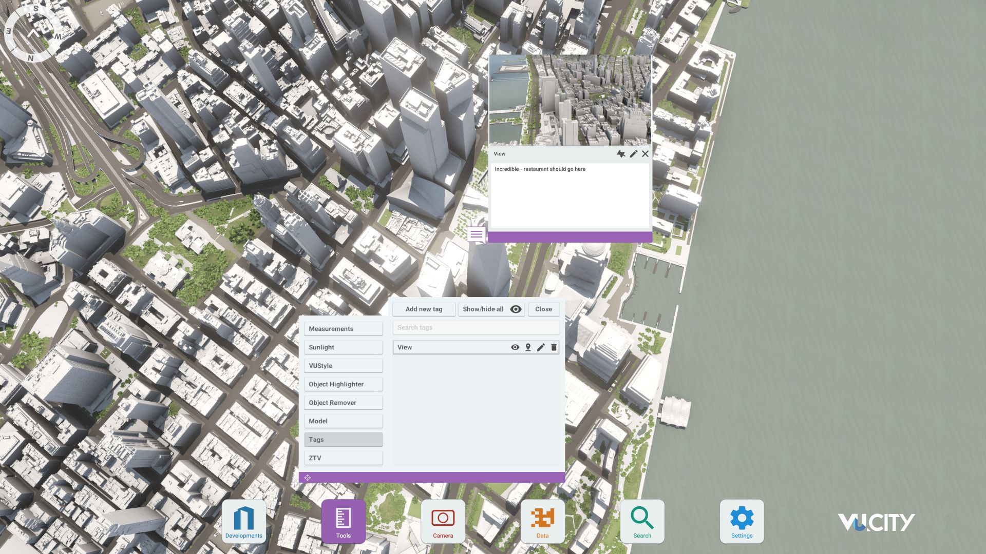
Collaborate seamlessly across studies, planning, and design.
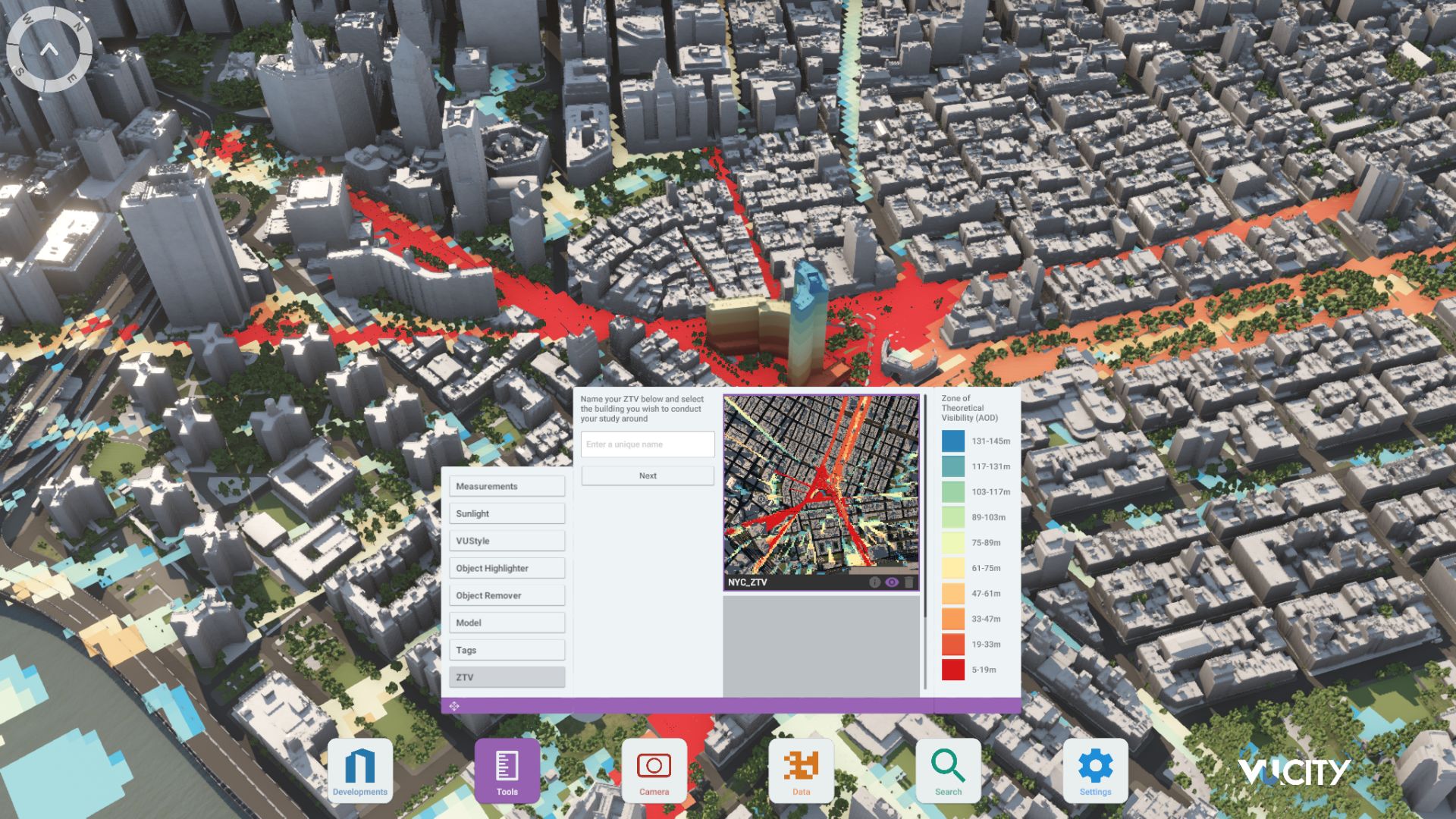
Utilise advanced 3D models and a data-driven approach with our flexible ZTV service.
Bring Your Vision to Life with a 3D Flythrough Video.
26 UK & International Cities
Over 3,000+ sq km accurate to 15cm | Tools to scope, create & collaborate on designs
Shape Tomorrow’s Cities, Today.
Begin Your Free Trial Now.
- 1
- 2
- 3

