
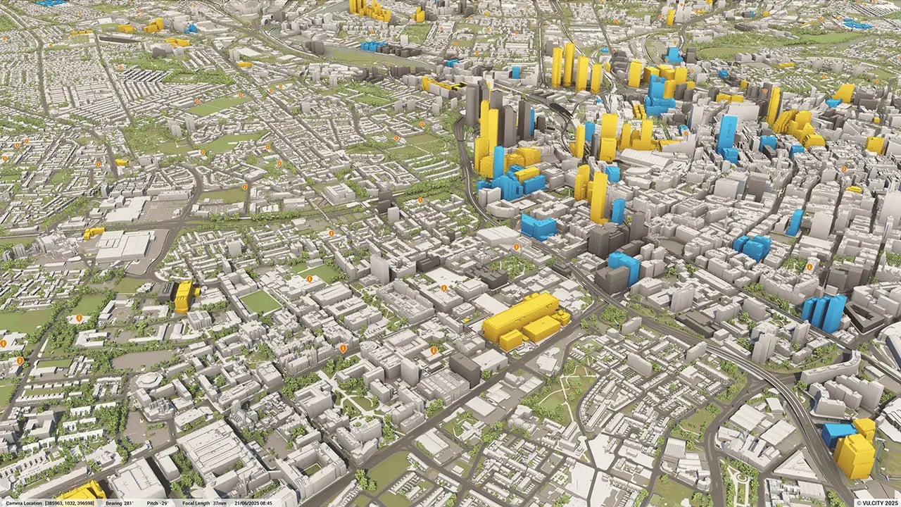
Manchester 3D Model
Minimise project risks with our Manchester 3D Model functionality. Reduce uncertainty and uncover opportunities with Manchester's digital twin. Rich data layers help assess site potential, highlight constraints, and support faster, more informed decision-making at every stage.
With VU.CITY’s accurate Manchester 3D model, stakeholders across the built environment can collaborate seamlessly, align more easily, and move projects forward with confidence.
-
44DATA LAYERS
-
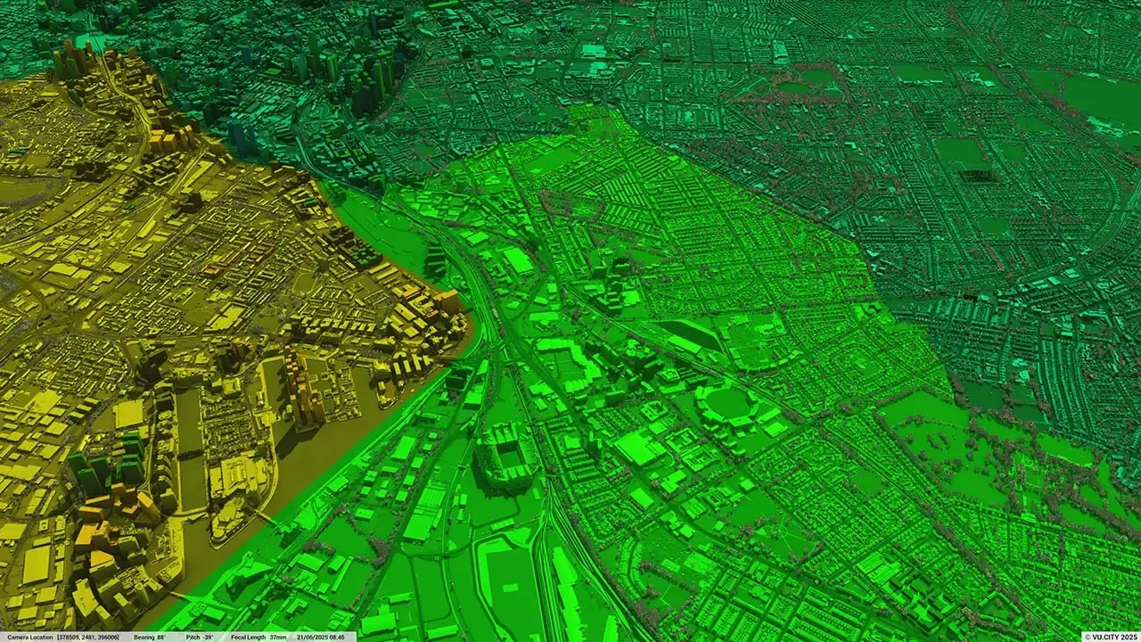
166.75 sq kmMODELLED TO 15CM ACCURACY
-
417Consents approved VU.CITY
-
718,062TREES, ACCURATE HEIGHT AND CANOPY

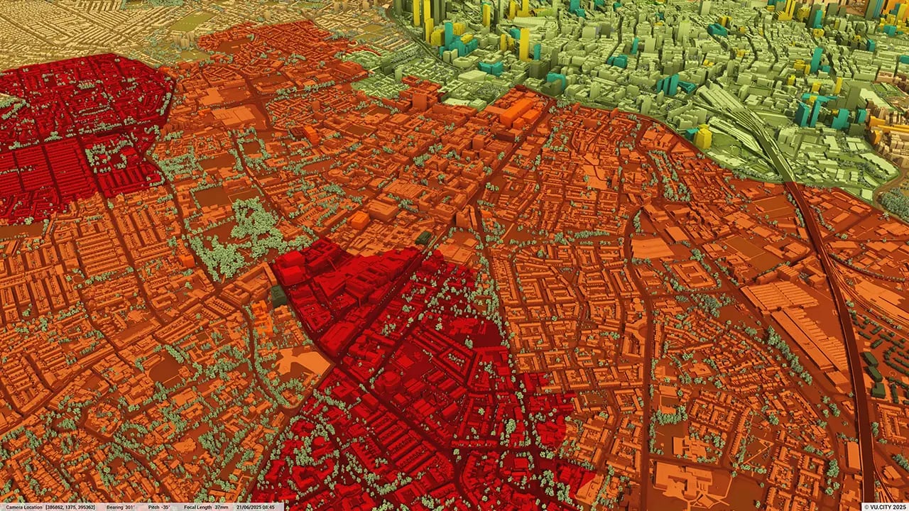
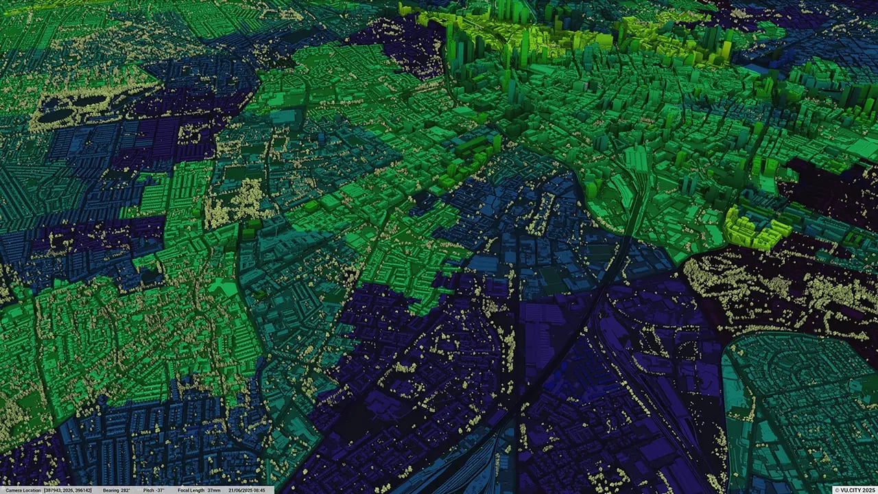
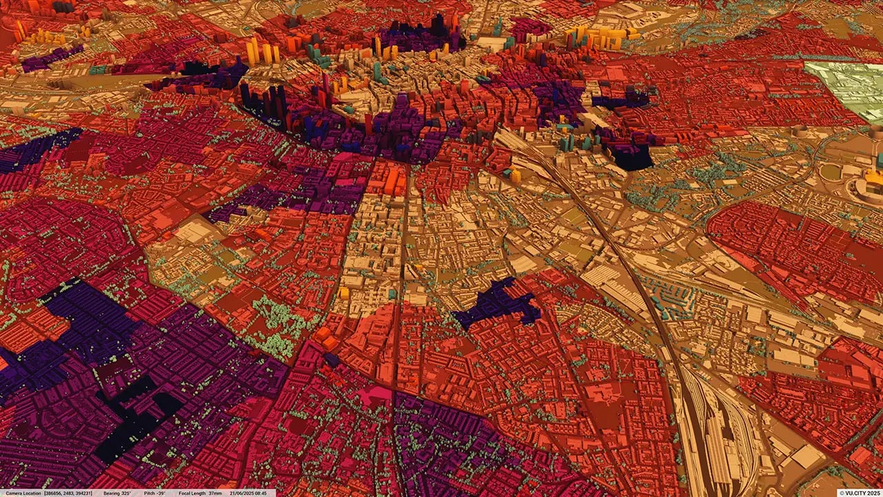
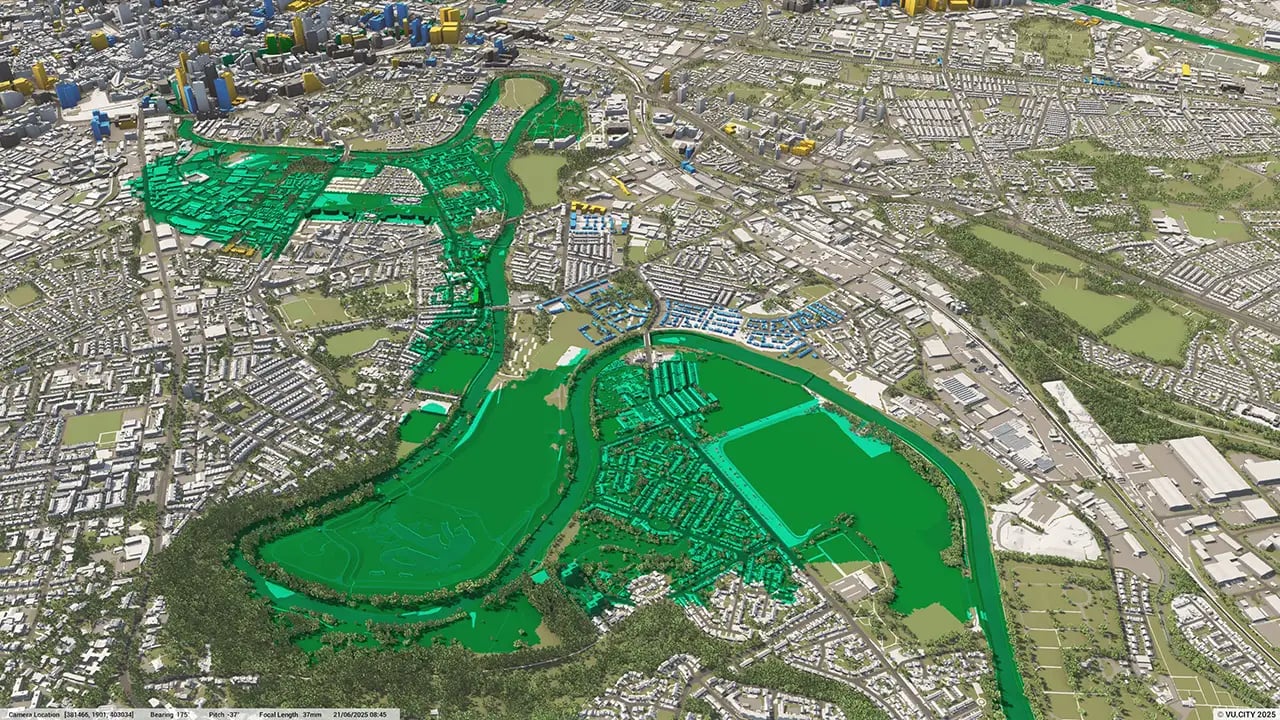
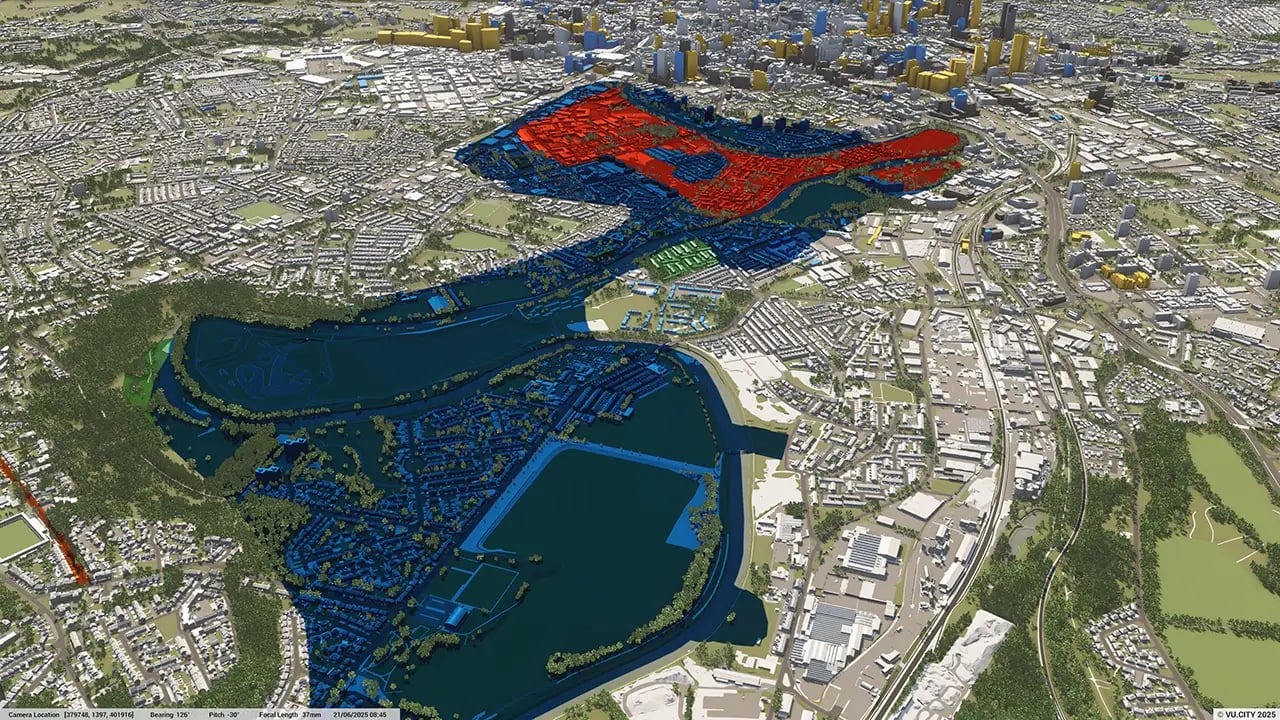
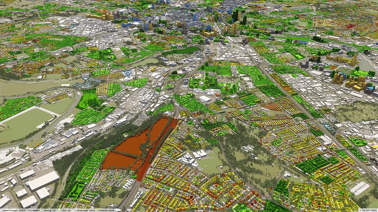
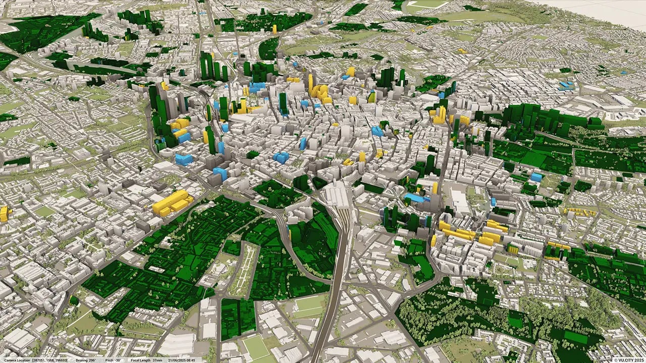
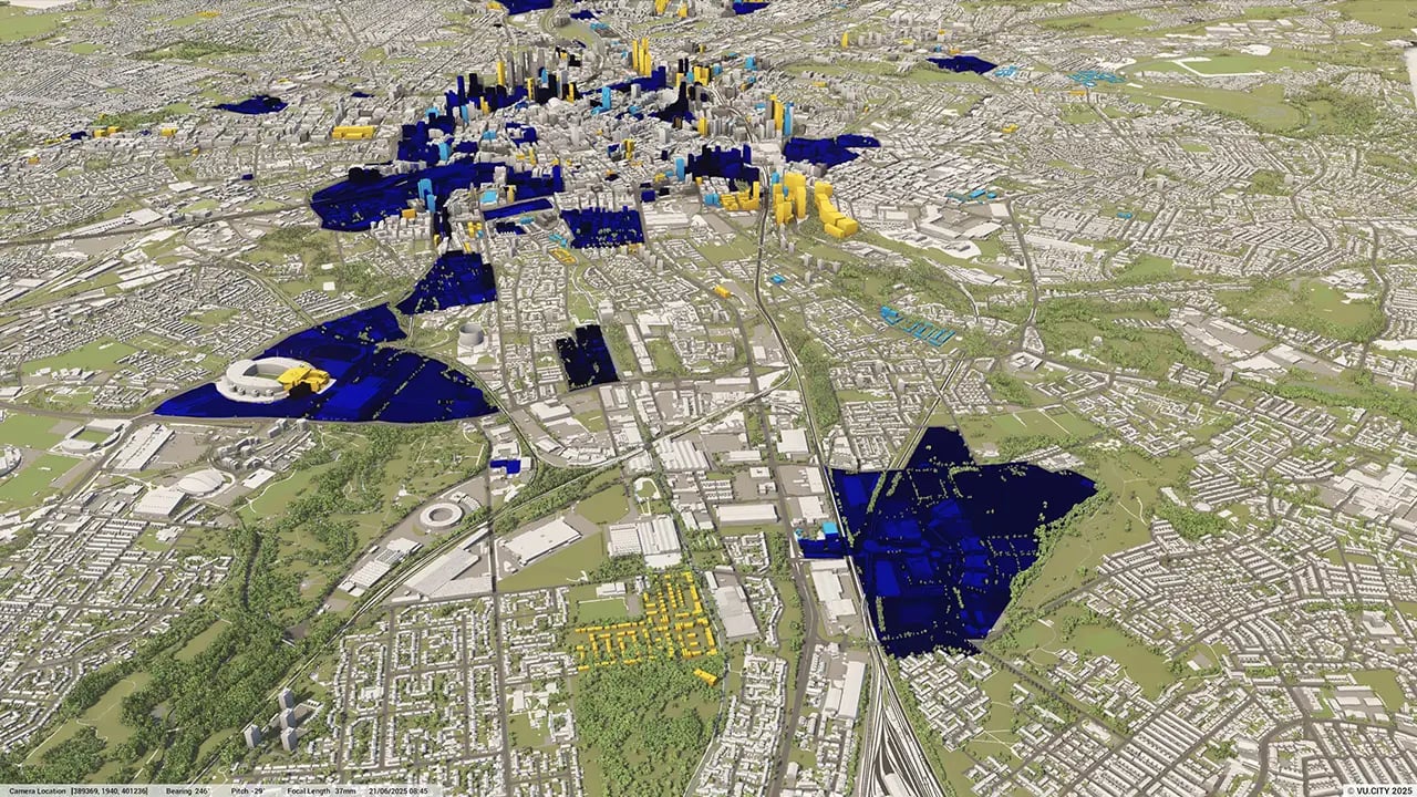
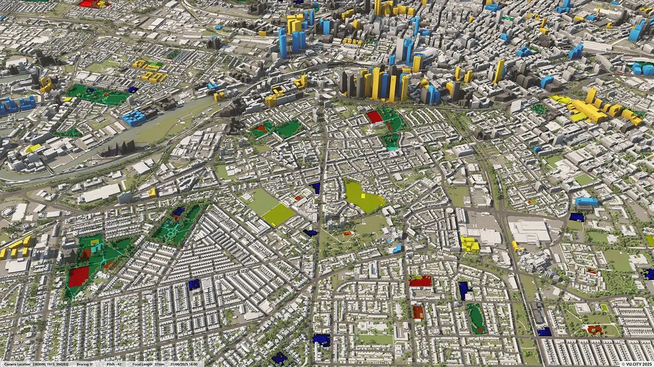
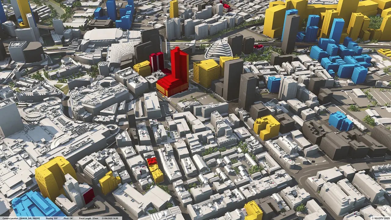
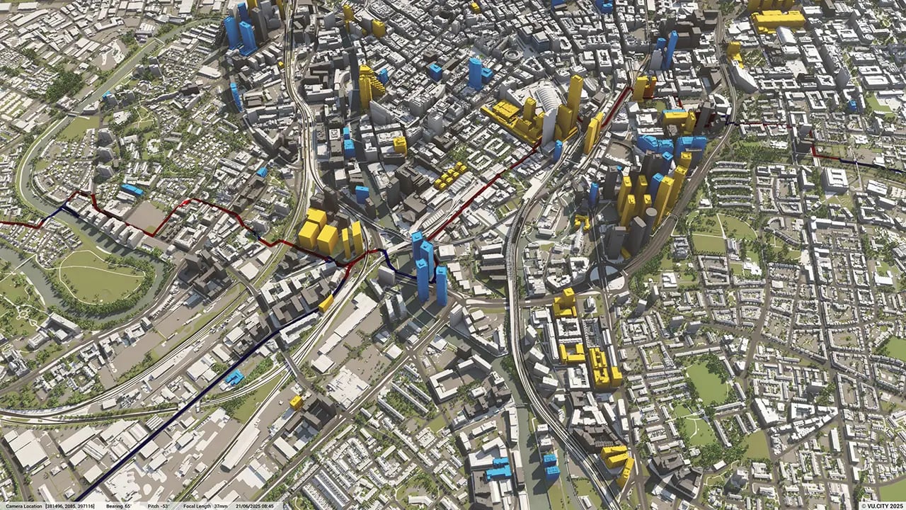
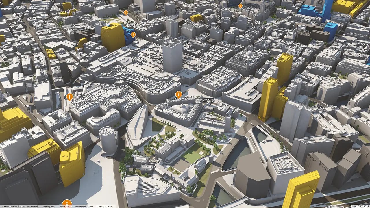
Manchester data layers
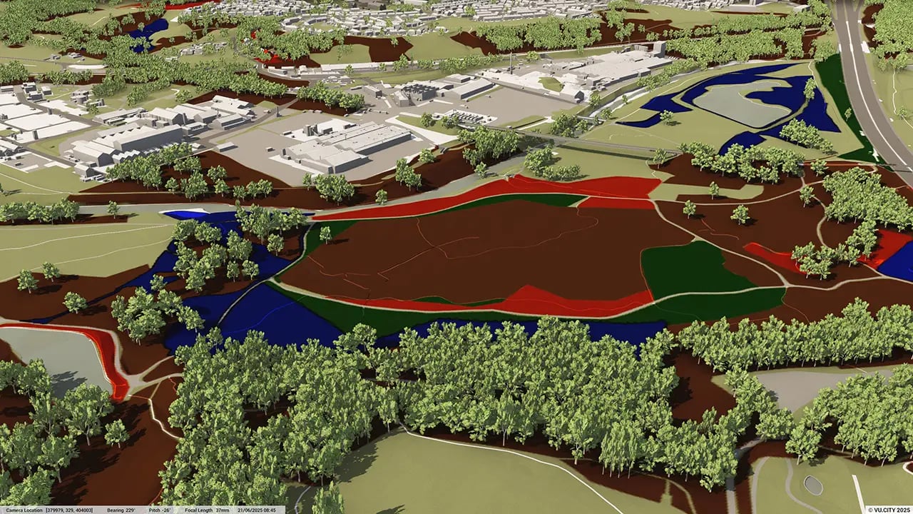
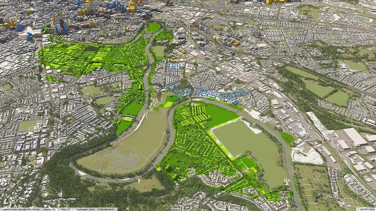
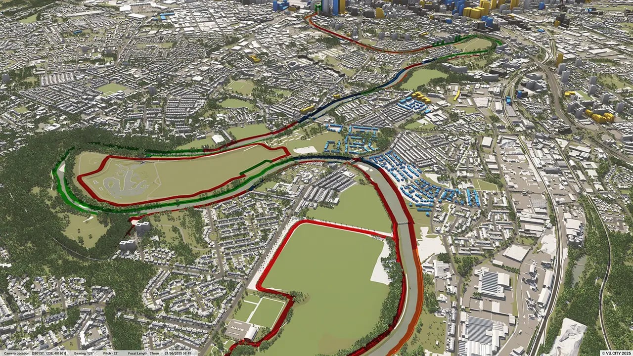
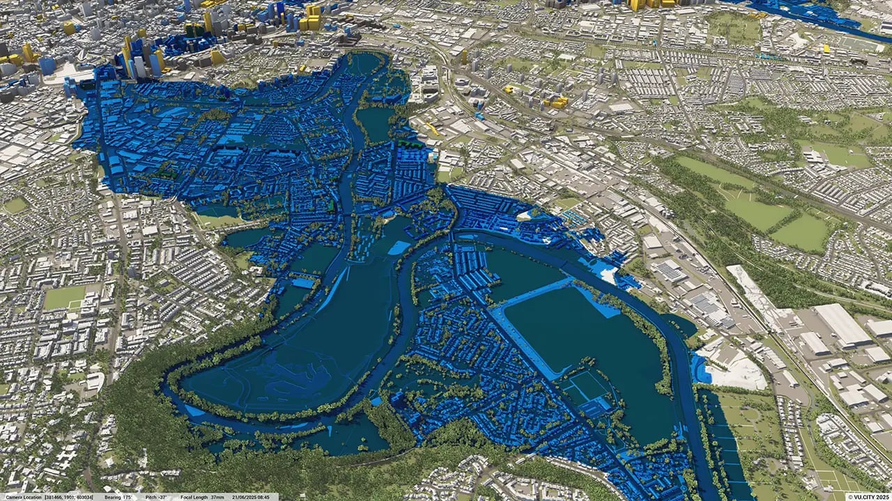
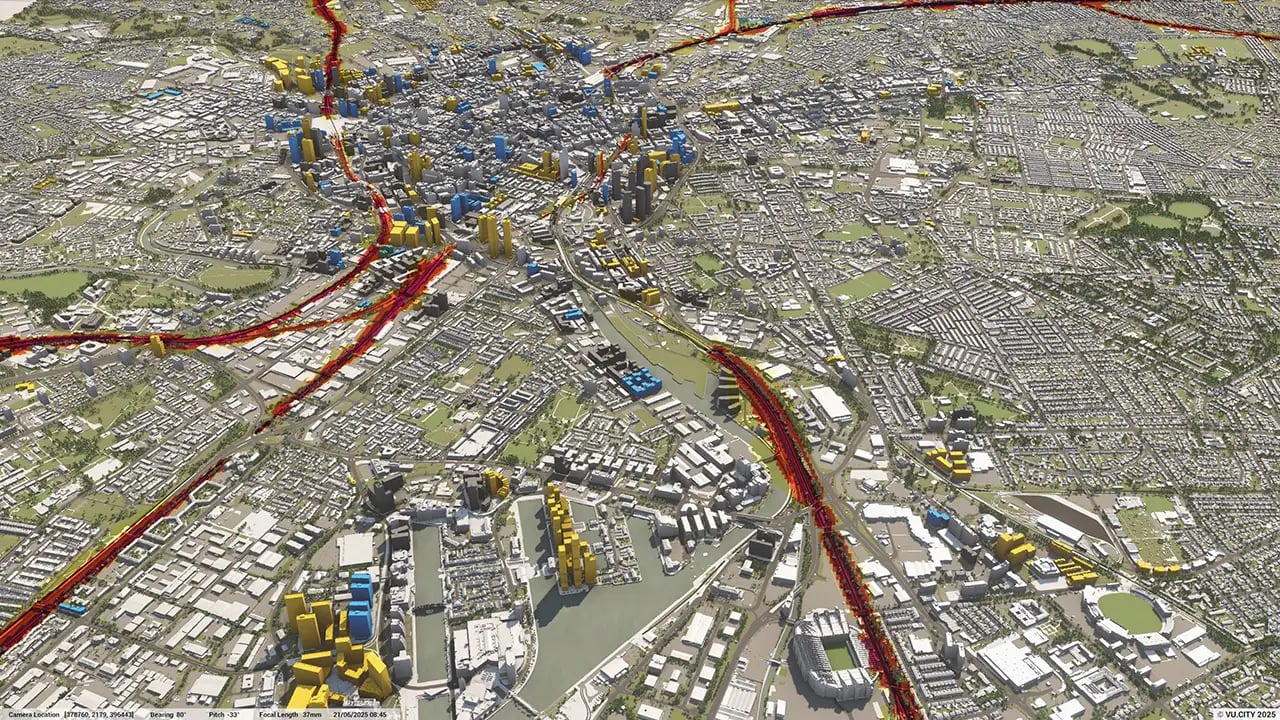
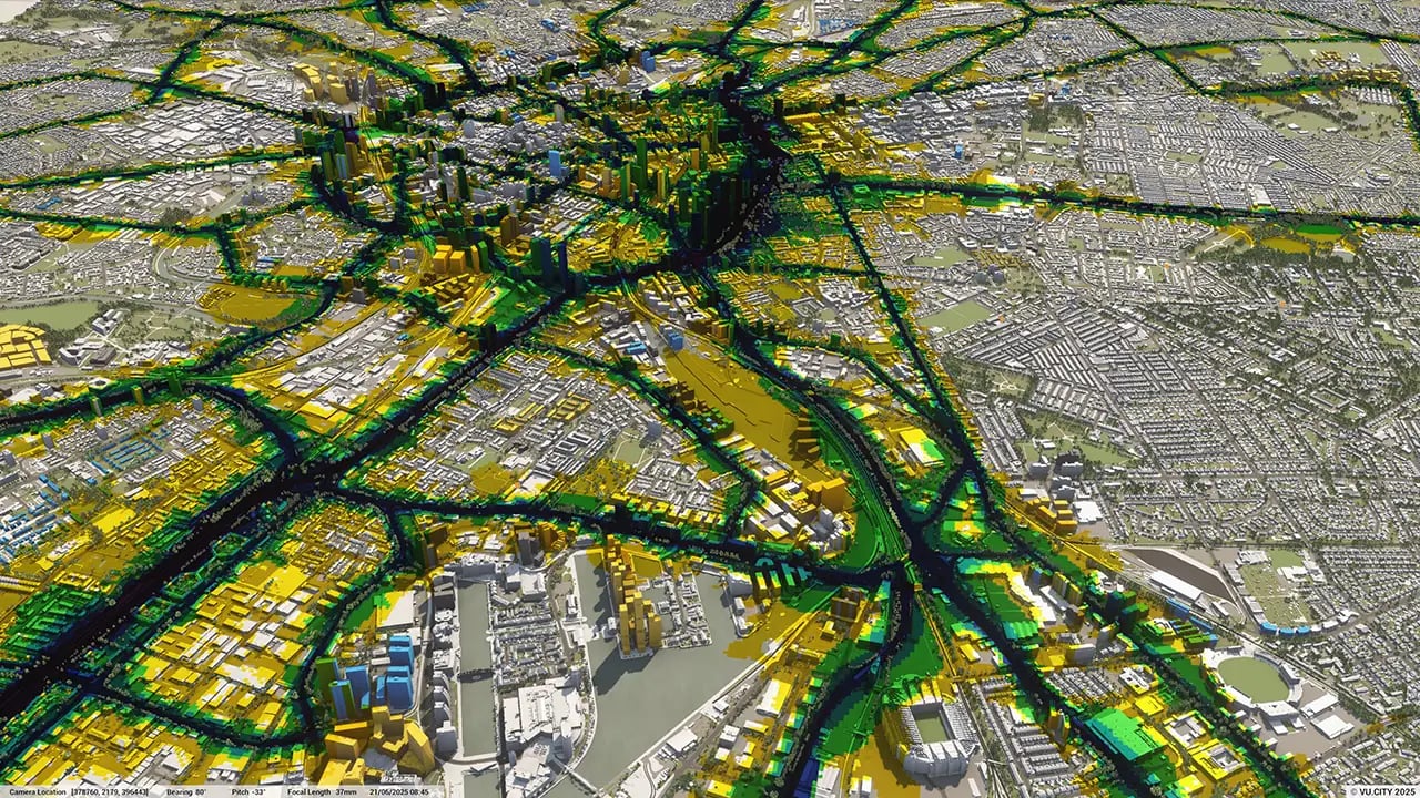
From transportation and zoning to environmental factors, VU.CITY Manchester 3D model data layers provide essential insights for more informed and confident decision-making.
_manchester.webp?width=1280&height=720&name=vucity-data-27_planning_conservation_areas(1)_manchester.webp)
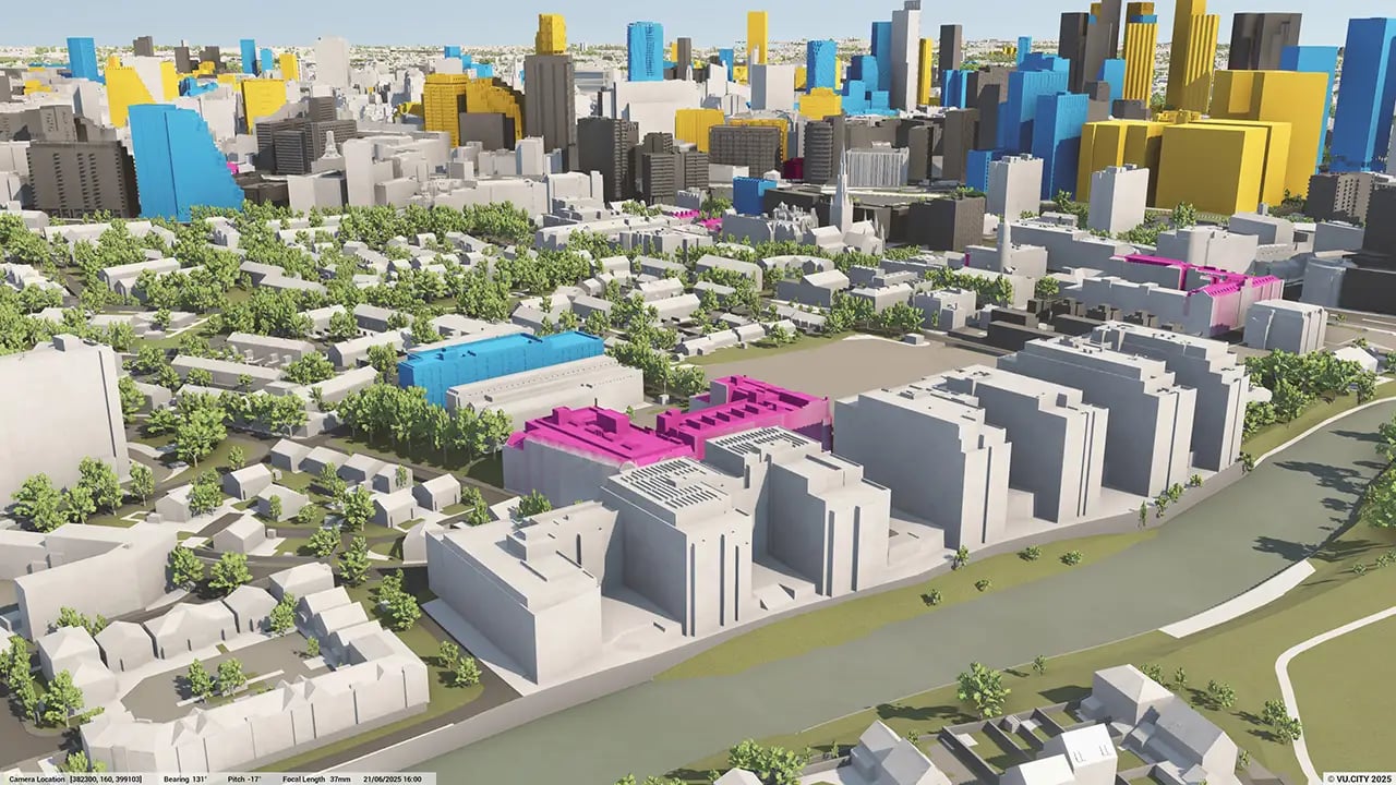
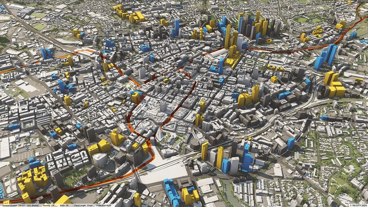

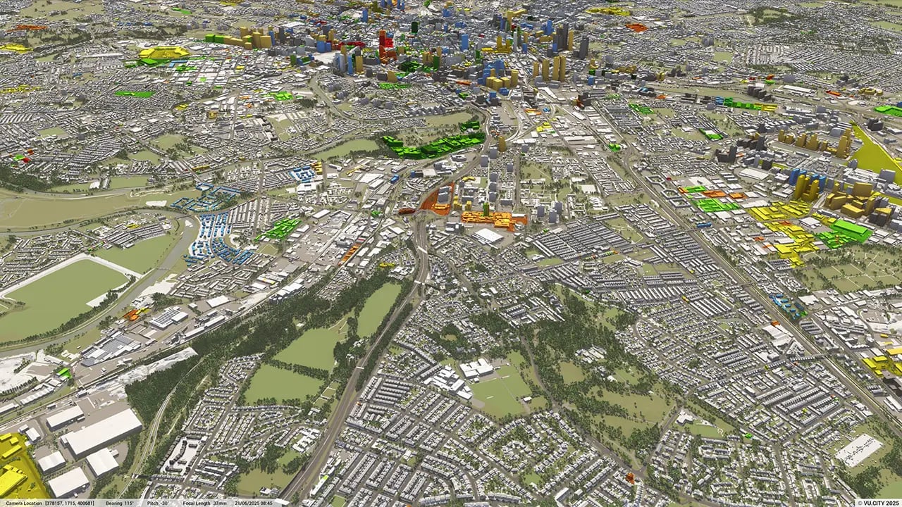
Manchester continues to lead the way in the north of England in all aspects of the built environment, whether it's the ever-growing skyline providing the highest level of urban living or the re-invention and regeneration of the boroughs of Greater Manchester.
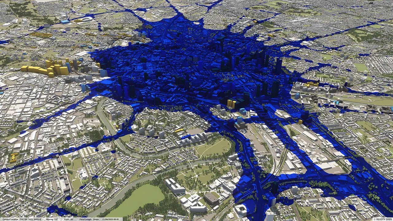
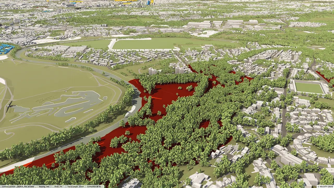
Manchester is firmly advocating the net zero green agenda in all its planning with the belt around the city centre providing more and more green space for its '15 minute neighbourhood' concept. VU.CITY enables all stakeholders involved to collaborate and make this vision a reality.
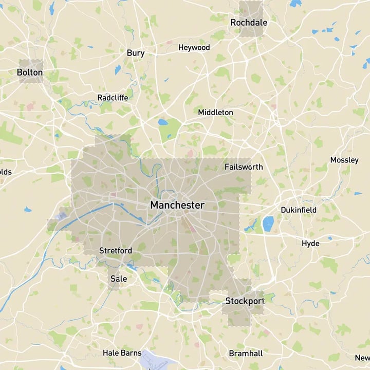
Architects, planners, developers, local authorities and other built environment professionals are turning to one of the UK’s most accurate digital twin and embracing the digital revolution in planning: VU.CITY Manchester includes coverage of Rochdale, Salford, Trafford and Stockport.
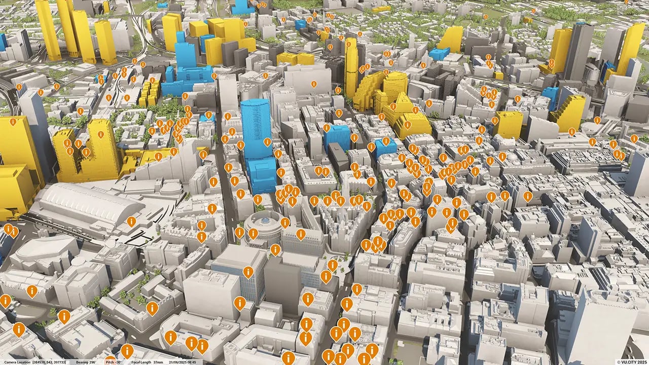
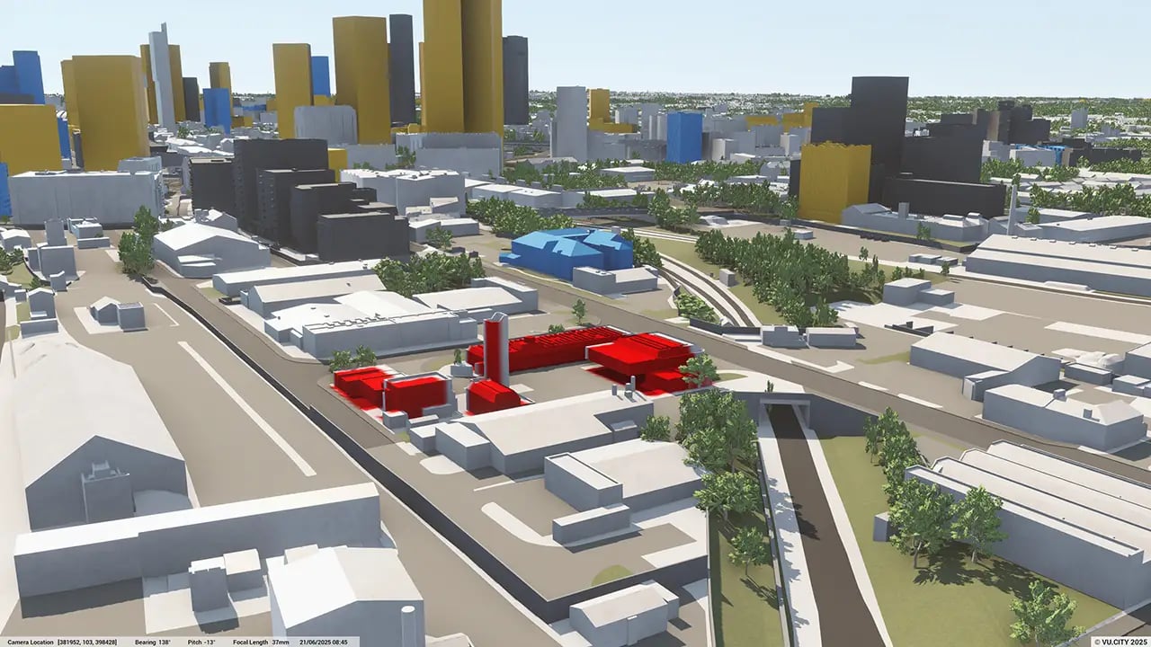
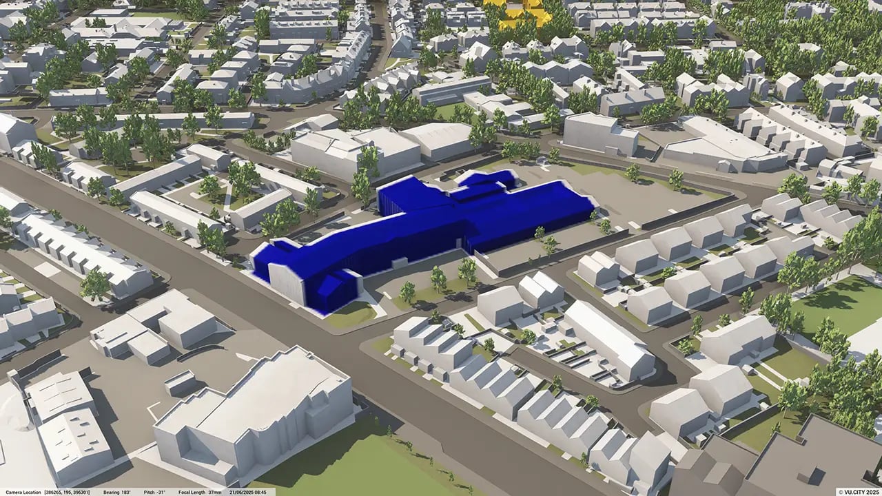
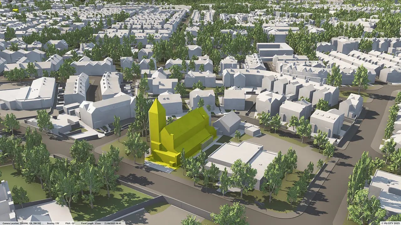
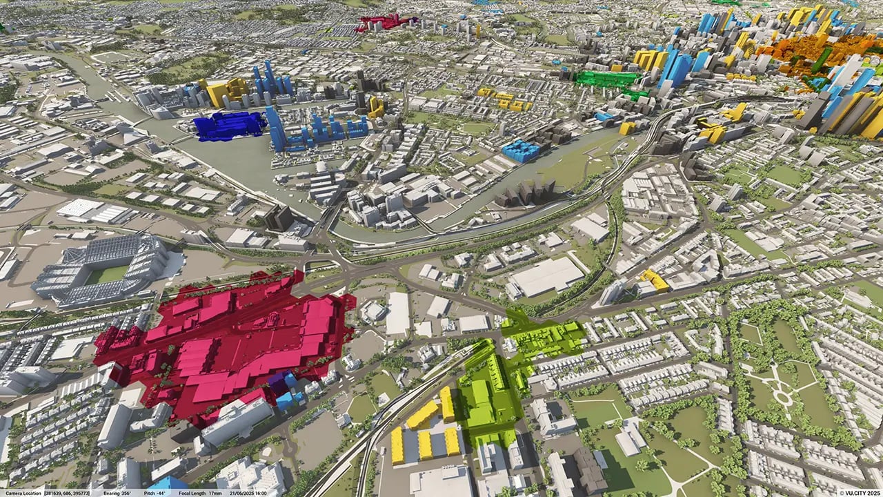
Architects, such as SimpsonHaugh, have realised that VU.CITY Manchester is the quickest way to visualise a development in context and prevent costs and subscriptions to data sources spiraling out of control long term when assessing a site’s feasibility.
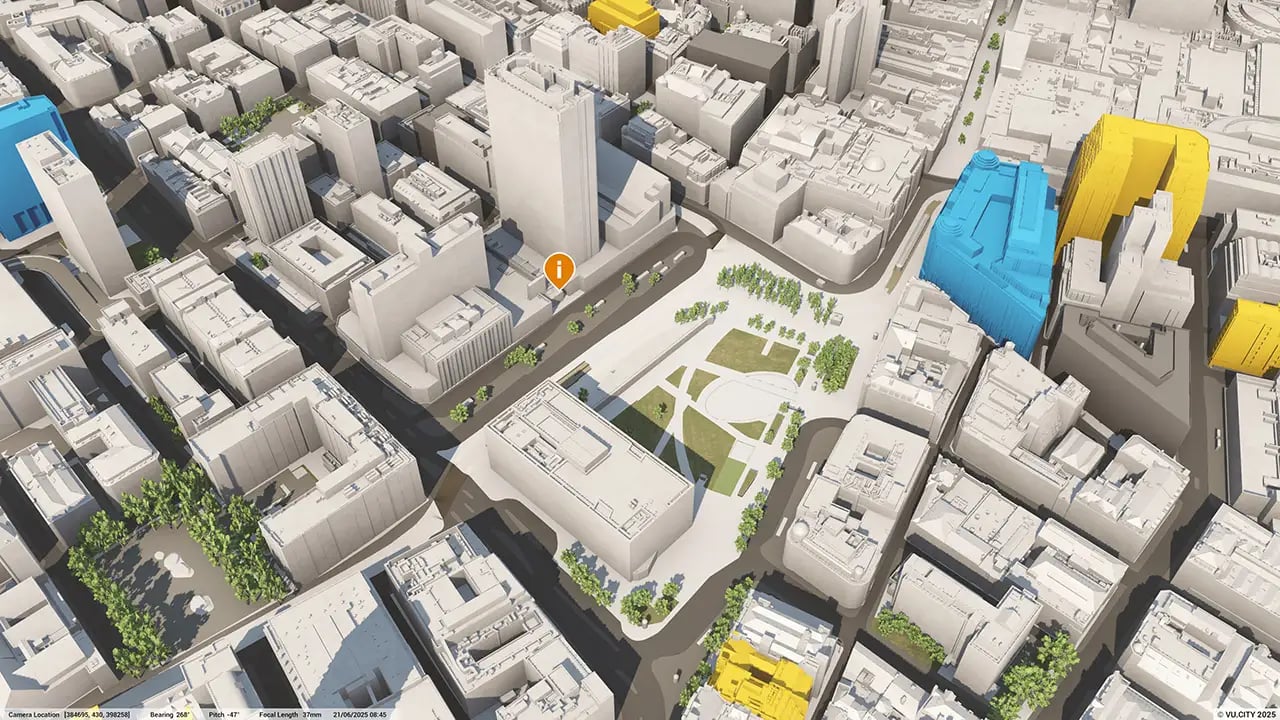
There are so many advantages to using VU.CITY’s 3D digital twin technology, from being able to understand and assess a site’s opportunities and challenges, testing refined designs in context, enhancing pre-app conversations and planning submissions, to improving how everyone involved collaborates.
Trusted by 6,000+ users across 26 cities
Architects, developers, local authorities, urban planners, and more trust VU.CITY to help achieve their goals.
Organise and visualise your geospatial data in accurate context with our comprehensive suite of digital design and development tools.
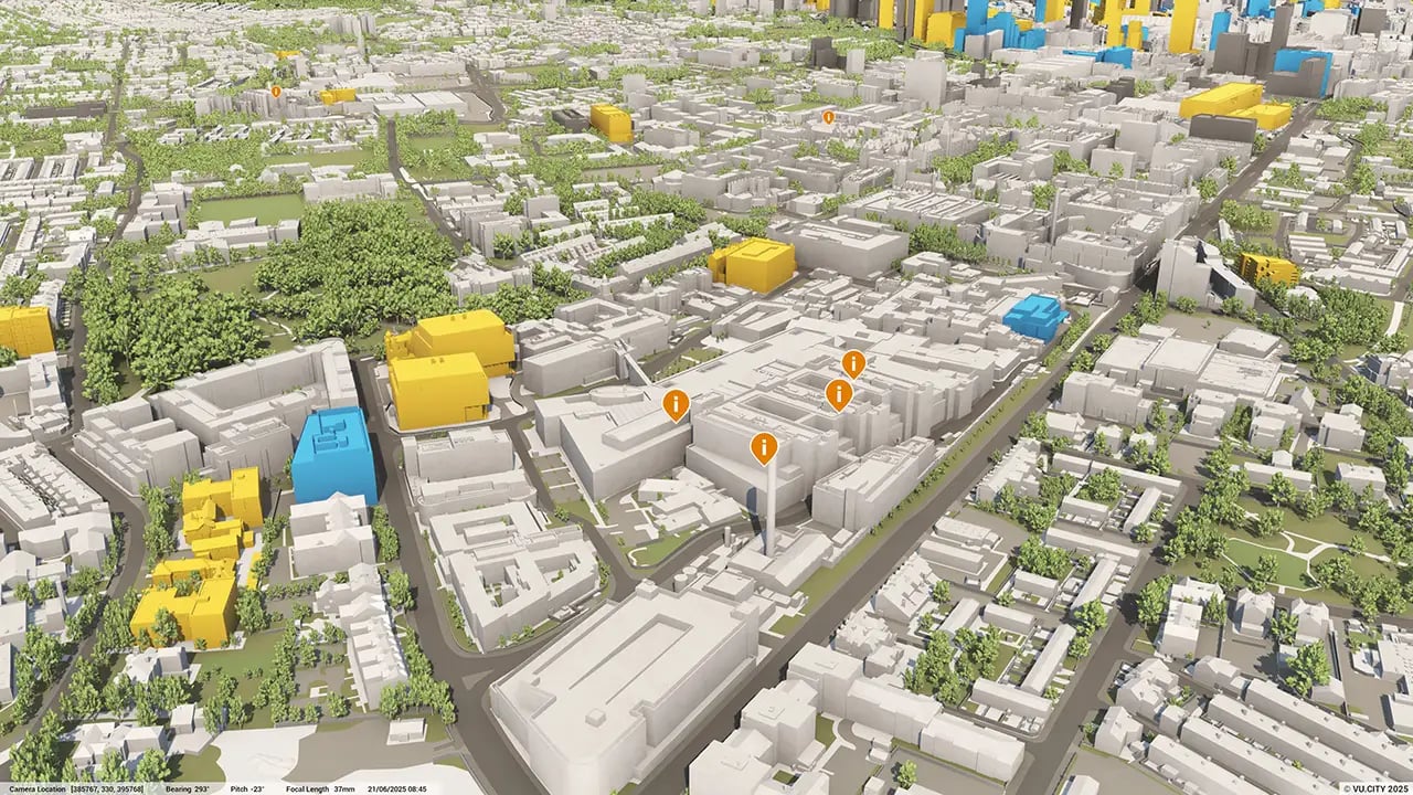
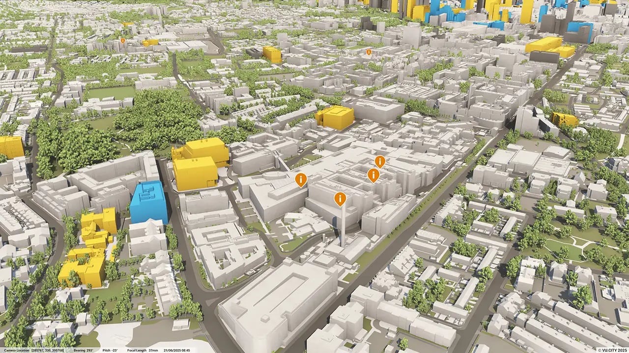
VU.CITY Manchester: 3D Model Features and Planning Tools


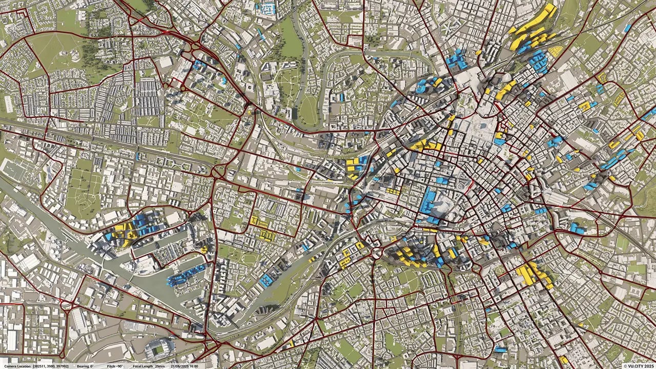
Manchester 3D tile coverage
Whether you’re focusing on a single neighbourhood or the entire cityscape, VU.CITY provides full coverage with unmatched precision.
VU.CITY Manchester FAQs
Here are some frequently asked questions about VU.CITY's Manchester 3D Digital Twin and Model.
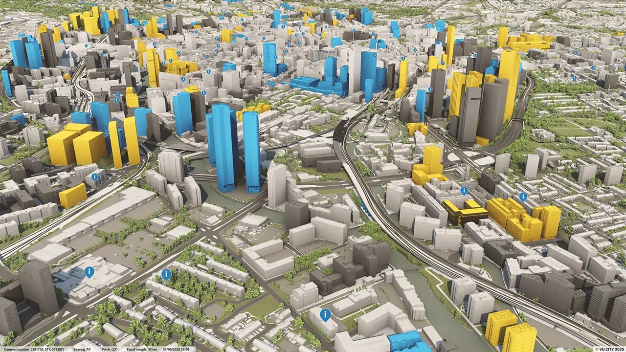
What benefits does the VU.CITY Manchester 3D model offer for urban planning?
VU.CITY Manchester’s 3D model offers planners, developers, and architects a detailed, interactive view of the city. It enables users to visualise projects in context, assess environmental impacts, and make informed decisions quickly and accurately, which streamlines project approvals.
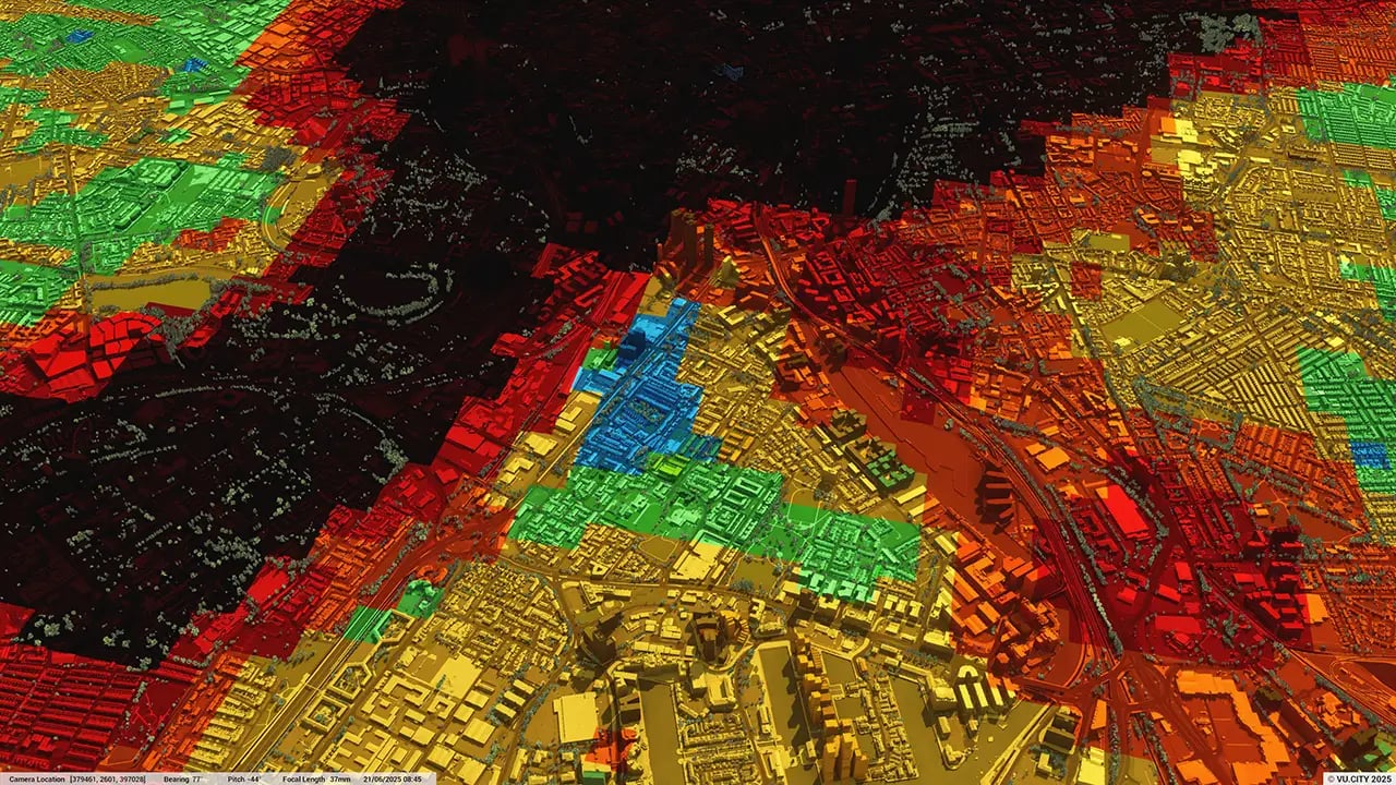
Which data layers are available in the VU.CITY Manchester platform?
The VU.CITY Manchester model includes data layers such as building heights, transport infrastructure, land use zones, heritage sites, and environmental factors, providing users with a comprehensive data set for planning and development assessments.
How can VU.CITY Manchester support feasibility studies?
VU.CITY Manchester allows users to conduct feasibility studies by analysing site constraints, visual impact, and regulatory requirements in a single platform. This capability helps identify potential challenges early in the planning phase, enhancing project viability.
Who should use VU.CITY Manchester for project planning and management?
VU.CITY Manchester is ideal for city planners, architects, developers, asset managers, and local authorities. It offers a collaborative, data-driven platform that enhances decision-making, compliance, and public engagement in development projects.
How up-to-date is the VU.CITY Manchester 3D model?
The VU.CITY Manchester model is frequently updated to include the latest city developments, planning data, and environmental information, ensuring users have access to the most current and accurate model for their planning needs.
Explore digital 3D geospatial solutions for the built environment
VU.CITY provides clear, powerful tools for key decision-makers across the built environment, helping them visualise and shape the future of cities with confidence and precision.
Make smarter decisions with data-driven insights, from infrastructure to sustainability.
Unlock the power of Generative AI for optimal design and streamlined decision-making.
Bring your designs to 3D life with state-of-the-art modelling tools.
Collaborate seamlessly across studies, planning, and design.
Utilise advanced 3D models and a data-driven approach with our flexible ZTV service.
Bring Your Vision to Life with a 3D Flythrough Video.
26 UK & International Cities
Over 3,000+ sq km accurate to 15cm | Tools to scope, create & collaborate on designs
Shape Tomorrow’s Cities, Today.
Begin Your Free Trial Now.
- 1
- 2
- 3

