
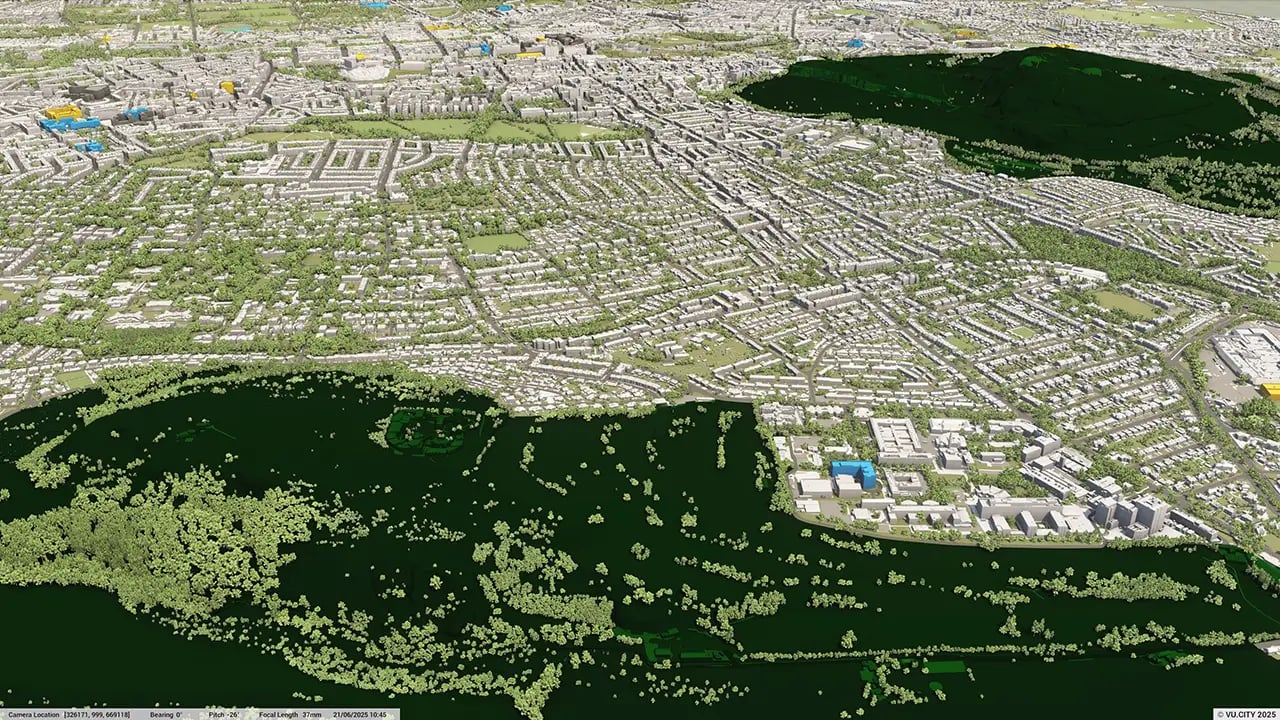
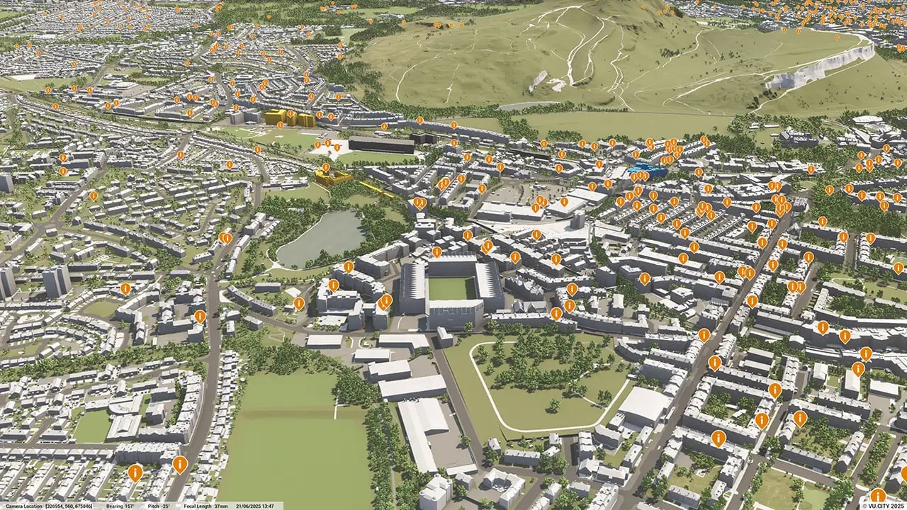
Edinburgh 3D Model
Minimise project risks with our Edinburgh 3D Model functionality. Rich data layers help lower design and planning uncertainty, highlight potential impacts, and accelerate key decision-making for projects.
With VU.CITY’s accurate and intuitive 3D digital twin platform, all stakeholders can expect smooth collaboration, making smarter decisions and help increase planning success in the built environment.
-
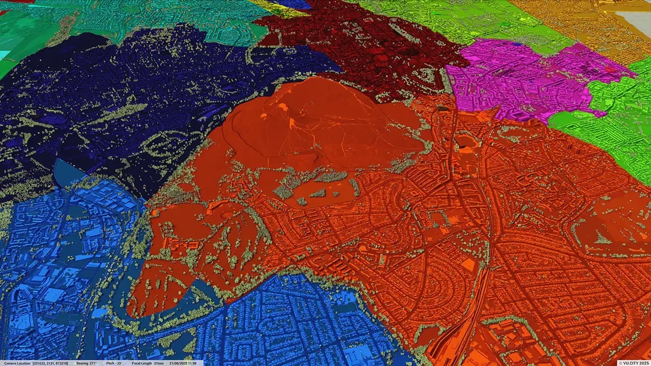
33DATA LAYERS
-
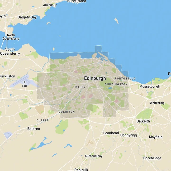
117 sq kmMODELLED TO 15CM ACCURACY
-
133Consents approved VU.CITY
-
746,658TREES, ACCURATE HEIGHT AND CANOPY

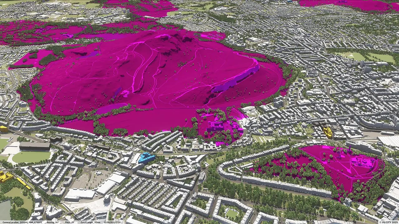
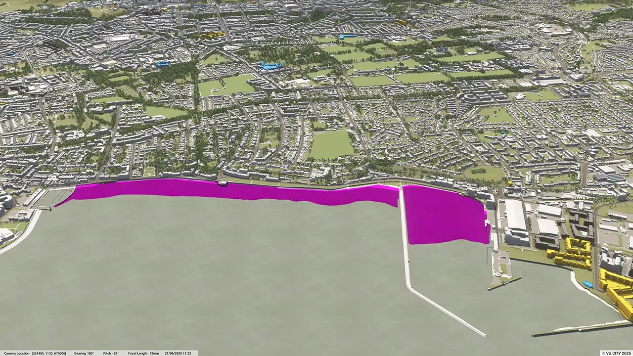
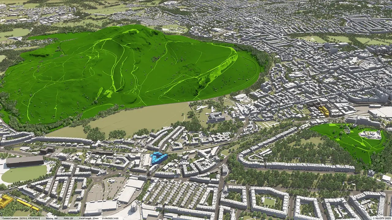
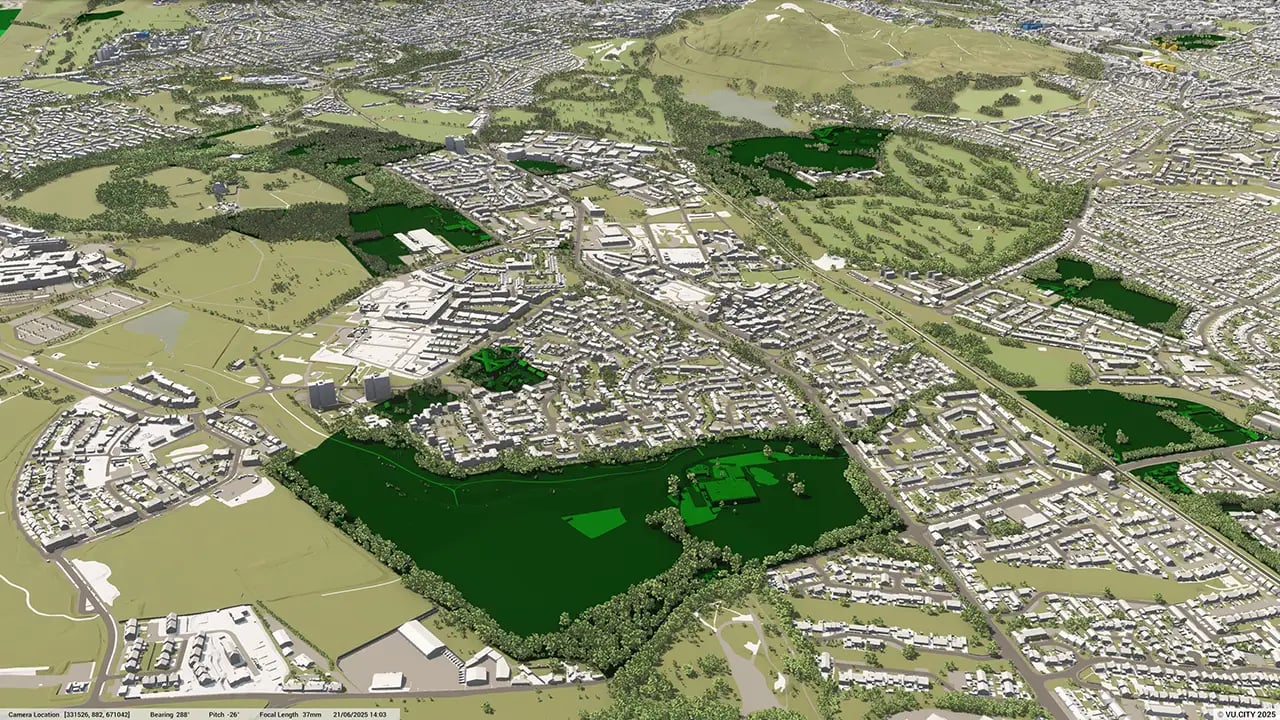
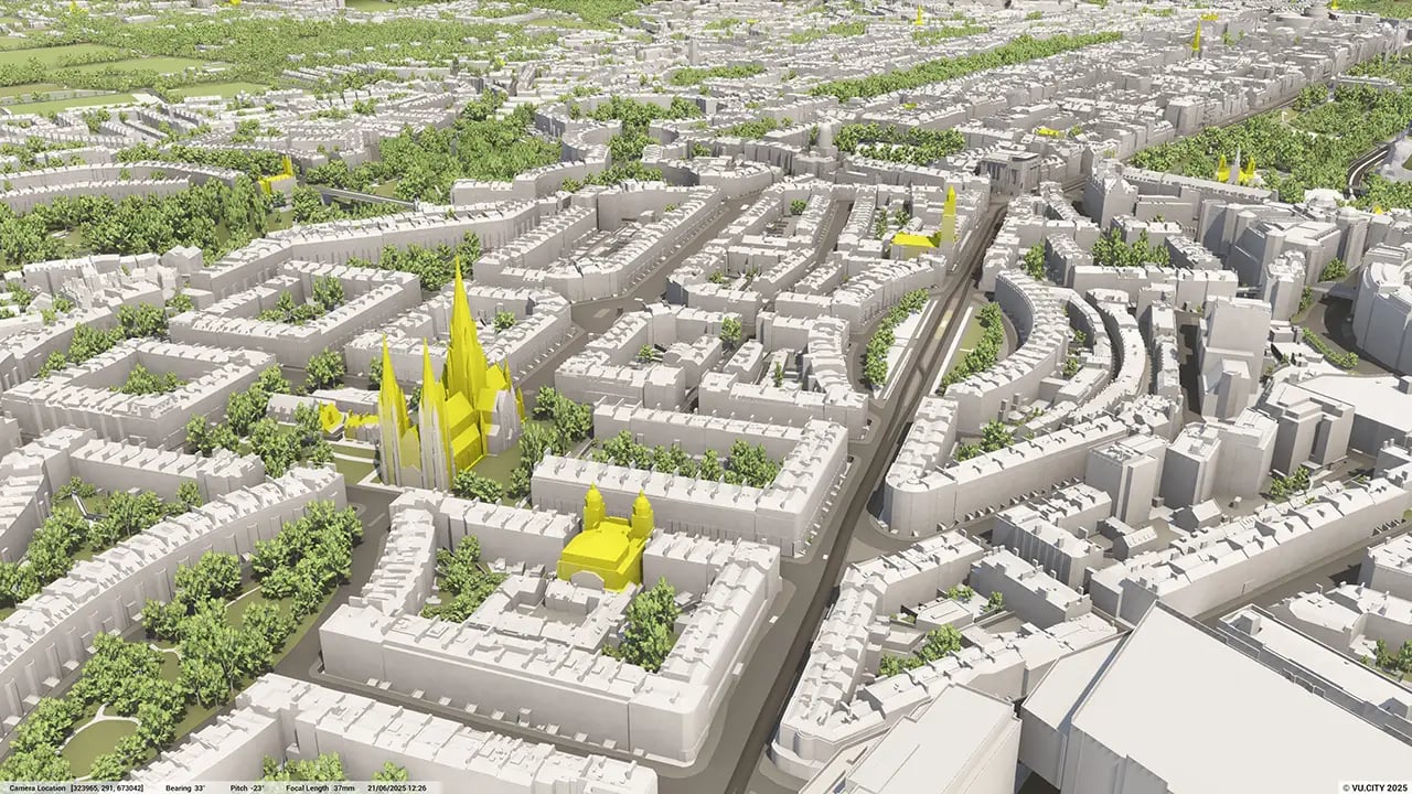
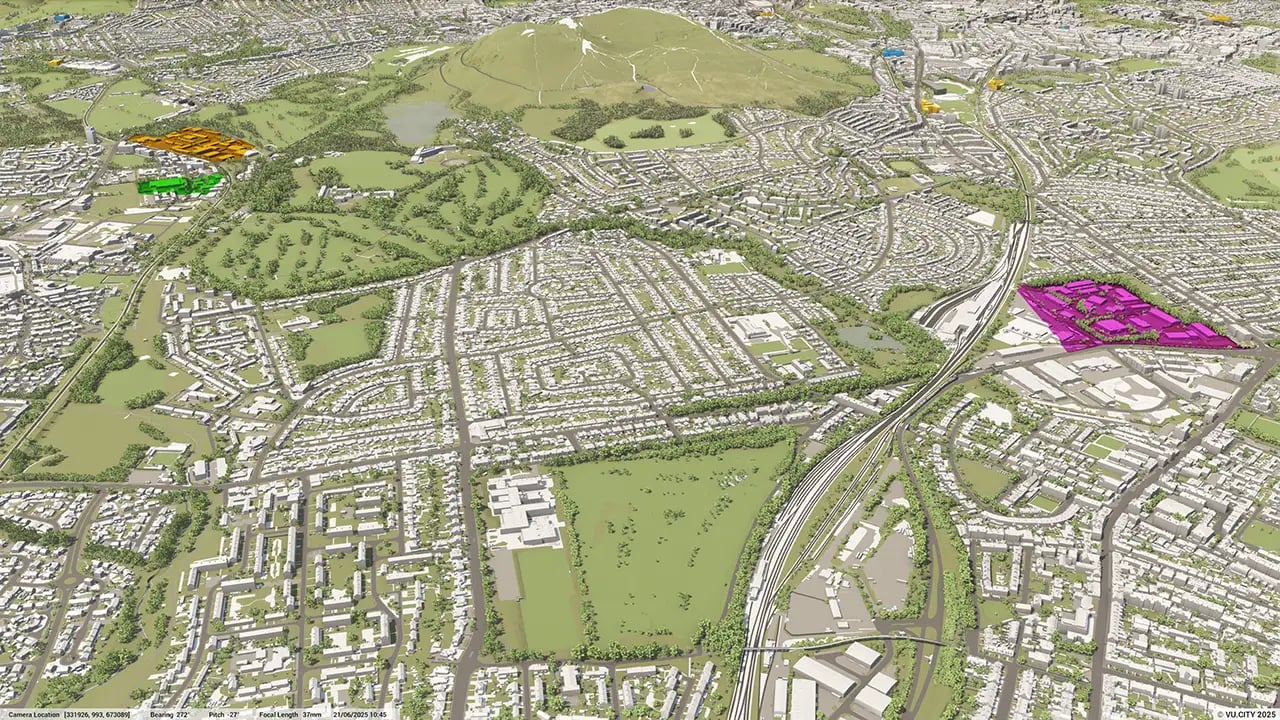
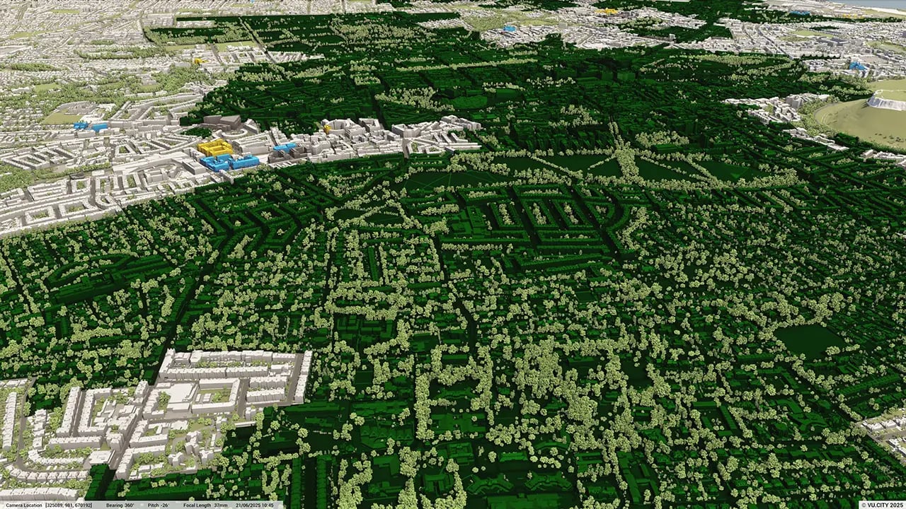
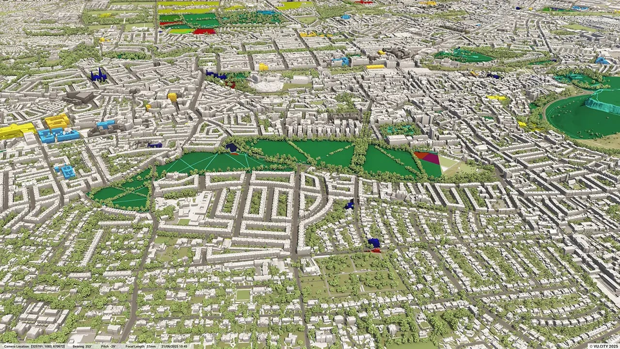
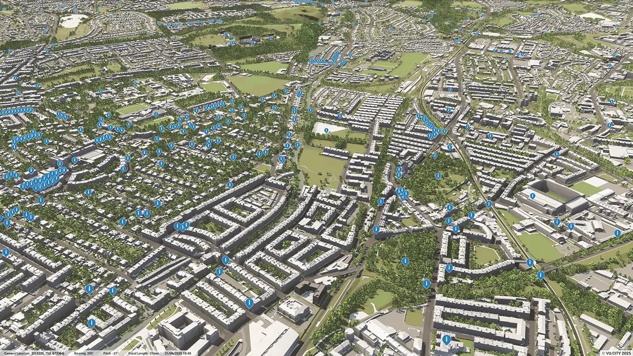
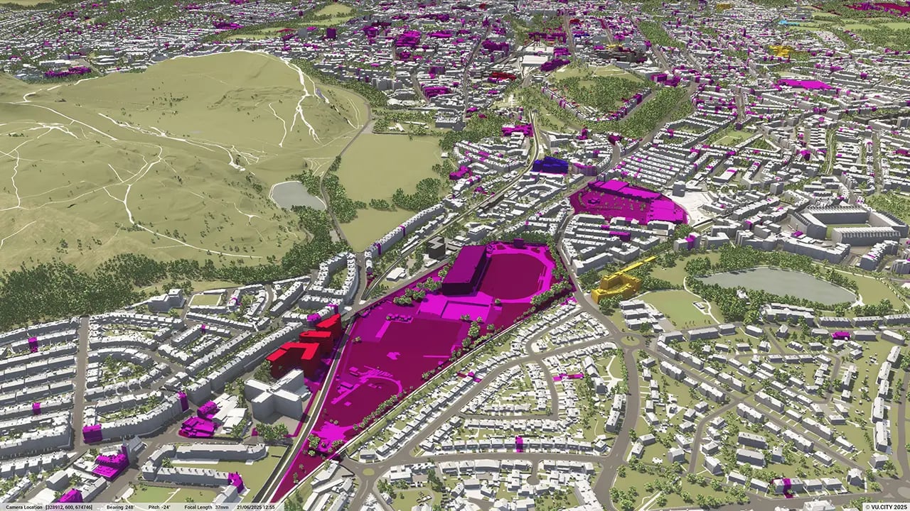
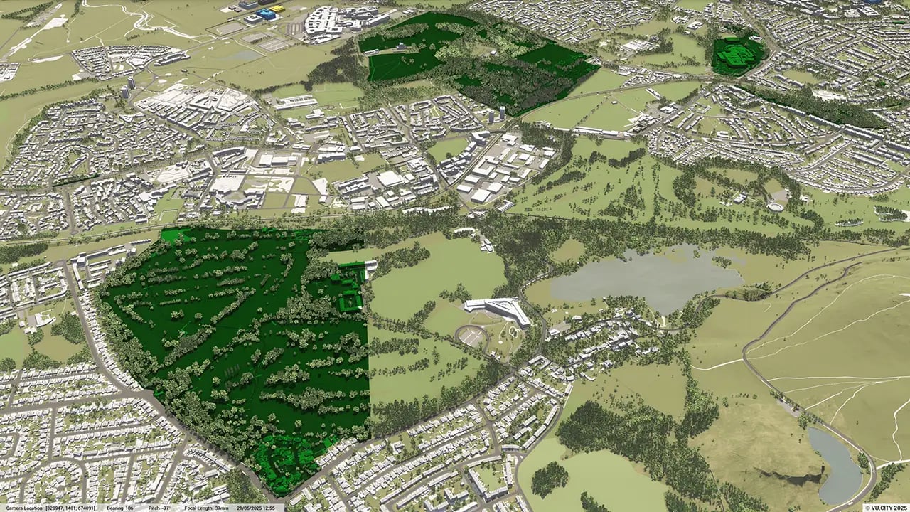
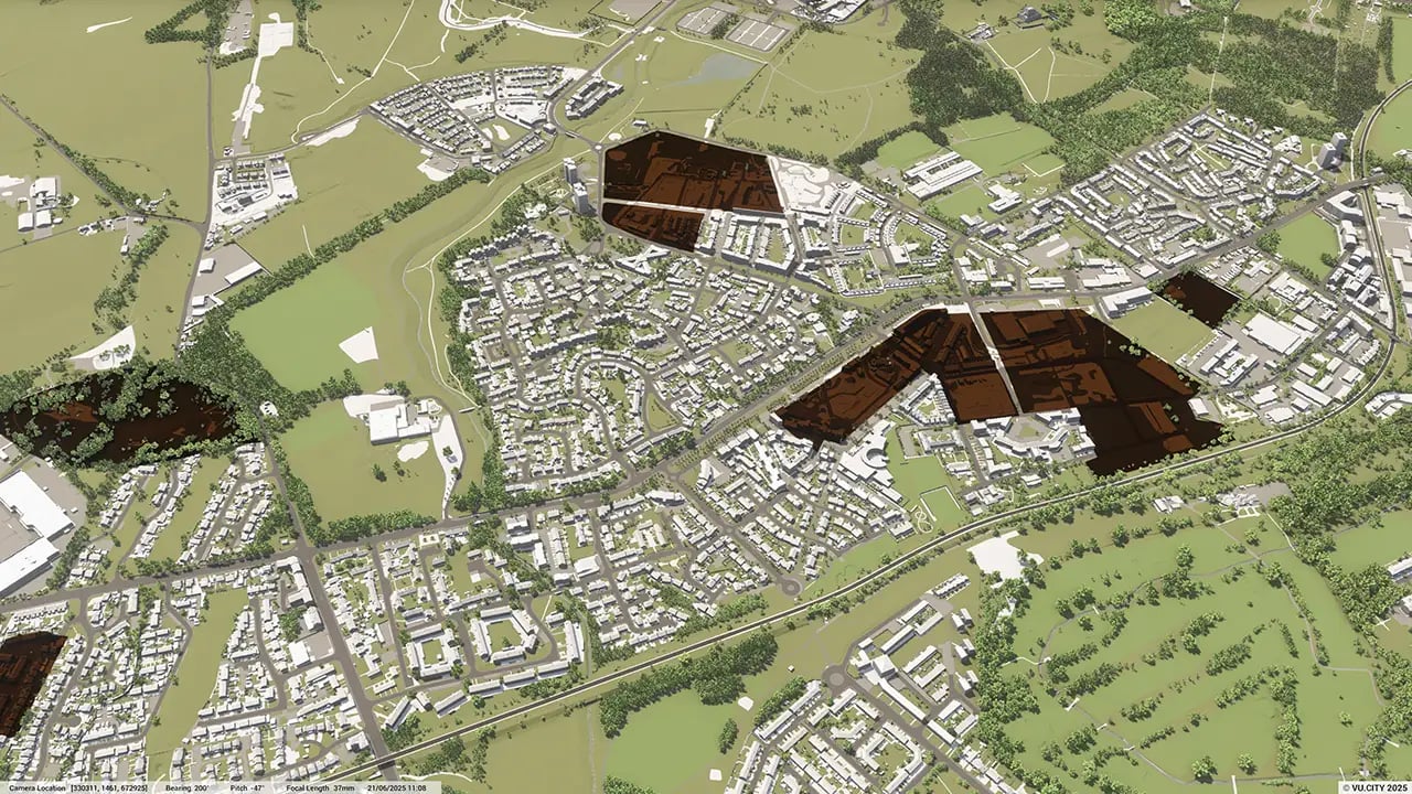
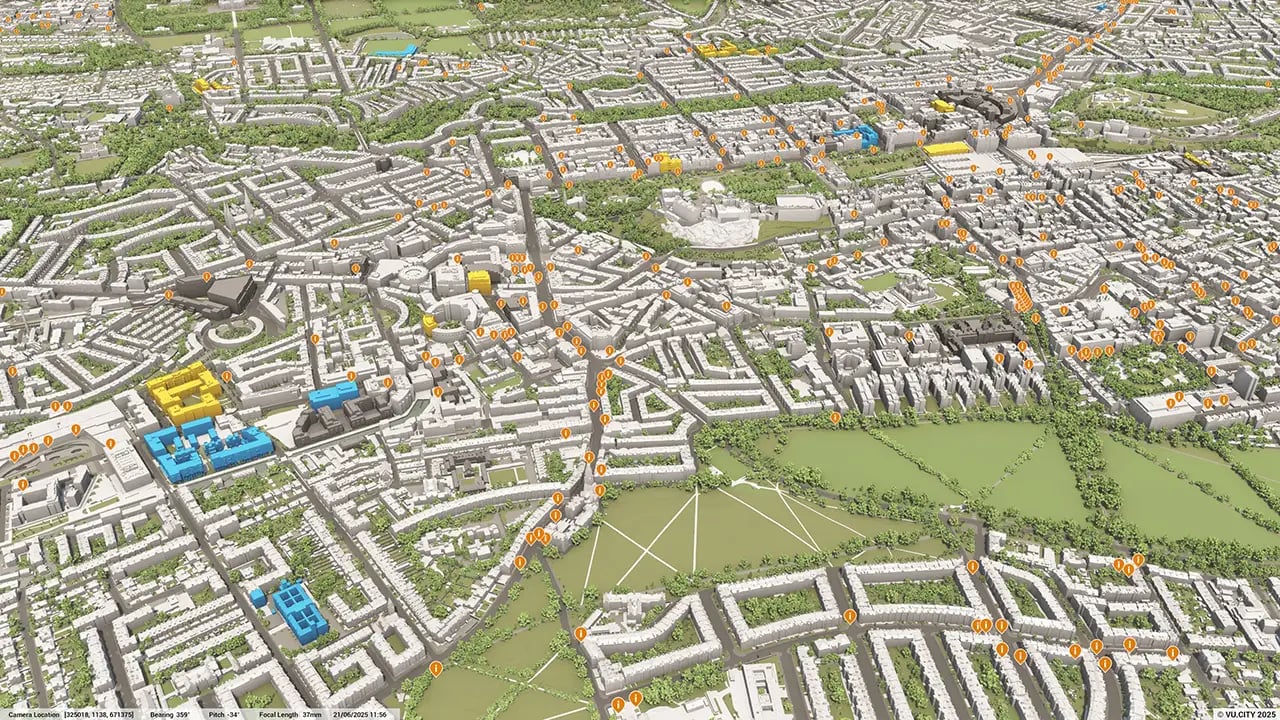
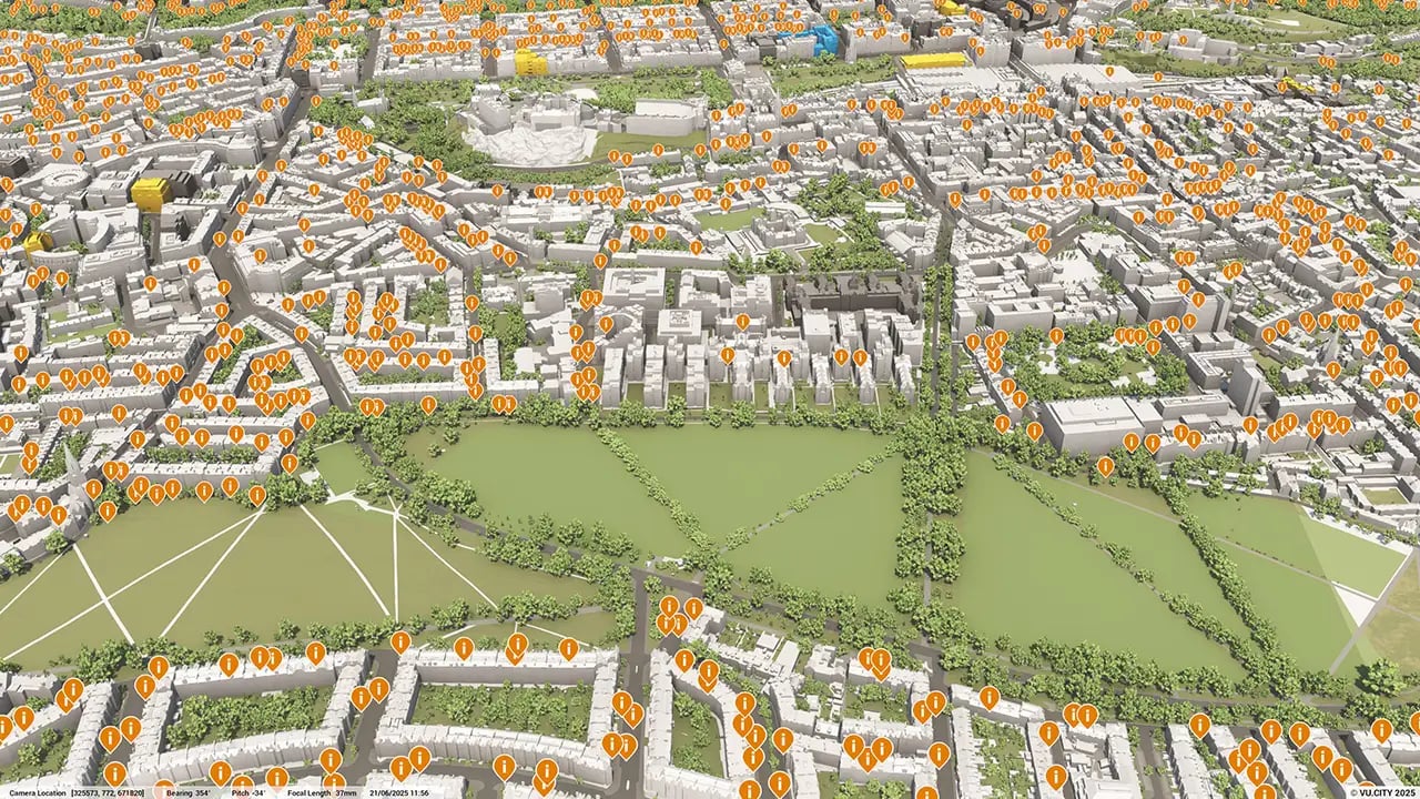
Edinburgh data layers
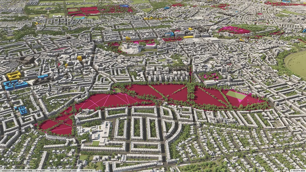
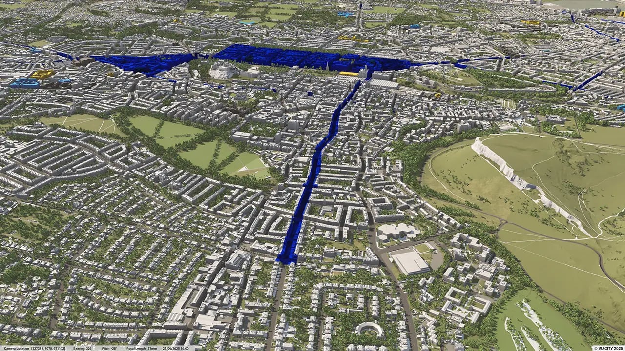
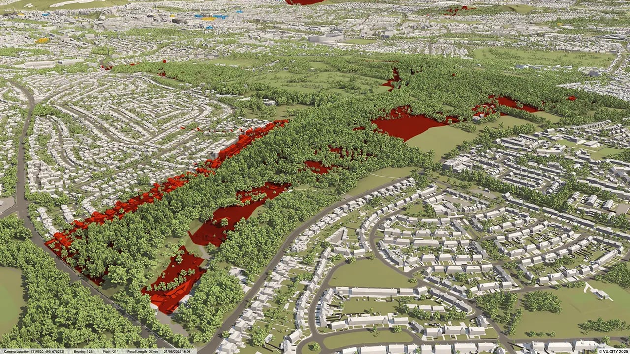
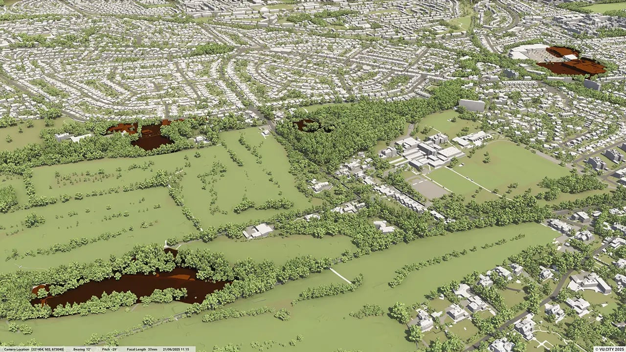
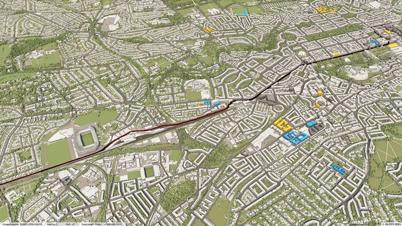
From transportation and zoning to environmental factors, VU.CITY Edinburgh 3D model data layers provide essential insights for more informed and confident decision-making.
.webp?width=1280&height=720&name=vucity-data-21_edinburgh_planning_heritage%20trees(1).webp)
.webp?width=1280&height=720&name=vucity-data-26_edinburgh_planning_scheduled%20monuments(1).webp)

With its beautiful green and historic environment, and thriving economy, Edinburgh is one of the best cities in the world in which to live, work and study. It is a city committed to change.
Edinburgh has created a Local Development Plan (LDP) – City Plan 2030 – that will set out the strategy for proposals and policies to shape the development of the city over the next 10 years at least. It addresses issues such as affordable housing in the capital and makes a commitment to building 20,000 low-cost homes over the next 10 years.
Digitisation of planning and design will be crucial to this becoming a reality, especially with the need to consider the city’s many key views, such as Calton Hill, and the implications of visual impact. Being able to assess project feasibility at an early stage, and work out factors such as density and capacity, saves time, costs and headaches for all stakeholders involved.
The proposed plan will support the Scottish Government’s 20-minute walkable neighbourhood plans and maximise the use of brownfield rather than greenfield land such as with new neighbourhoods at the Forth Waterfront. Using a 3D platform like VU.CITY is invaluable in understanding how to improve the public realm and maximise placemaking.
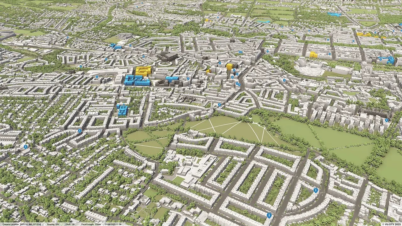
Users of VU.CITY Edinburgh include CDA Group, Oberlanders, Michael Laird, Morgan McDonnell, 7N Architects and 3DReid - all of whom are using the model’s many benefits. From being able to understand and assess a site’s opportunities and challenges, testing refined designs in context, enhancing pre-app conversations and planning submissions, to improving how everyone involved collaborates.
Trusted by 6,000+ users across 26 cities
Architects, developers, local authorities, urban planners, and more trust VU.CITY to help achieve their goals.
Organise and visualise your geospatial data in accurate context with our comprehensive suite of digital design and development tools.
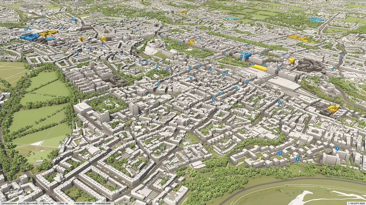
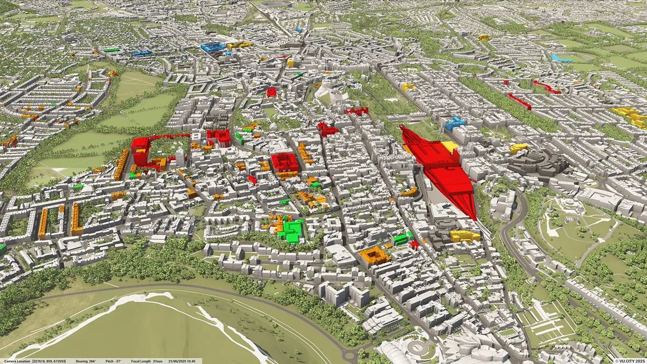
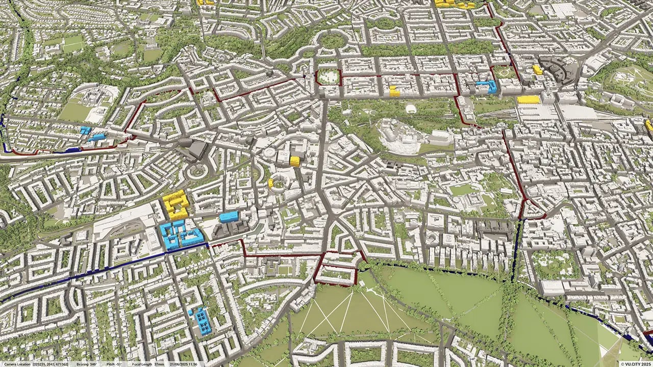
VU.CITY Edinburgh: 3D Model Features and Planning Tools


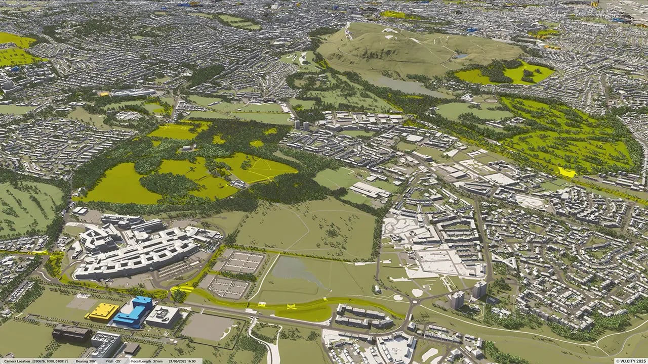
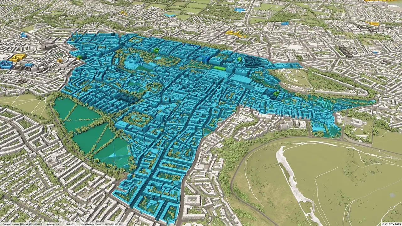
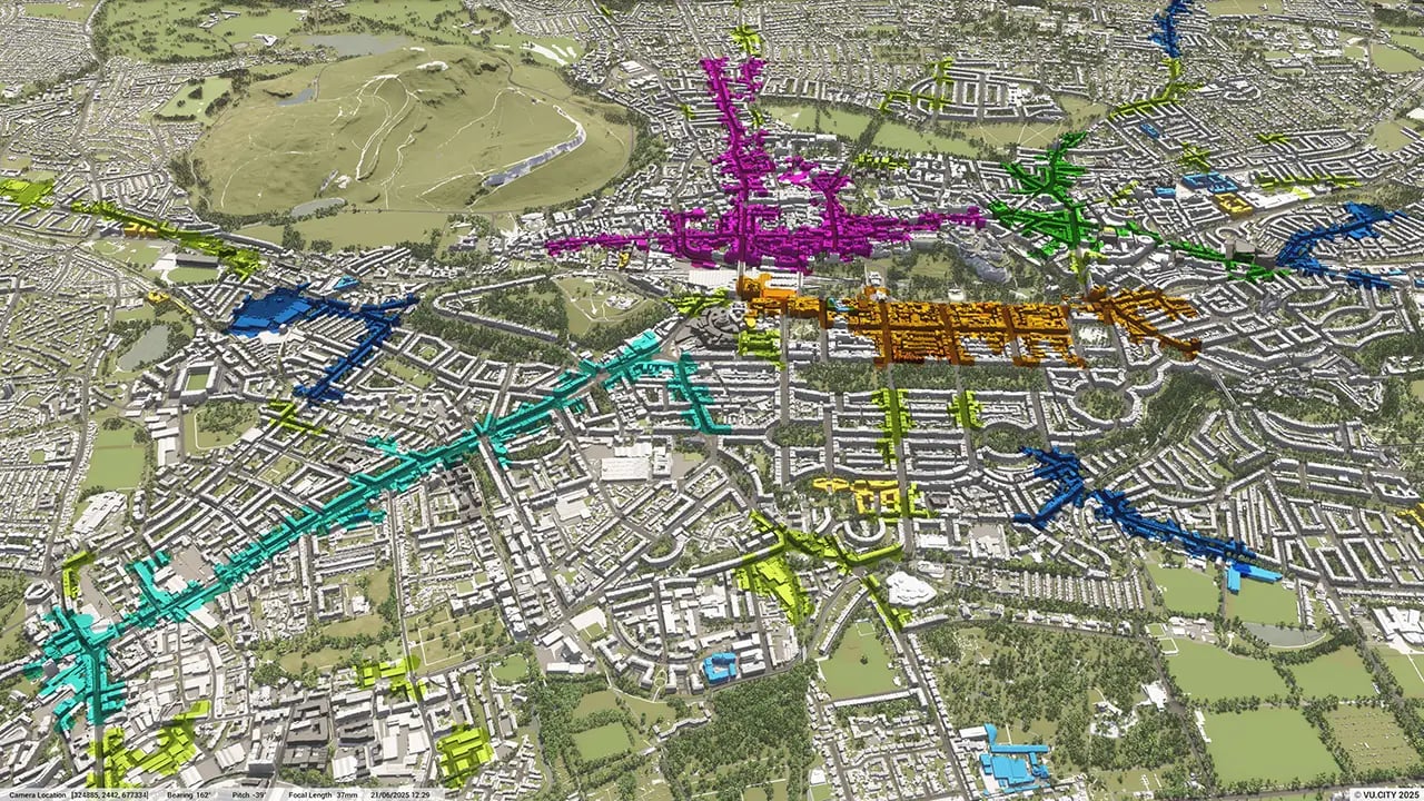
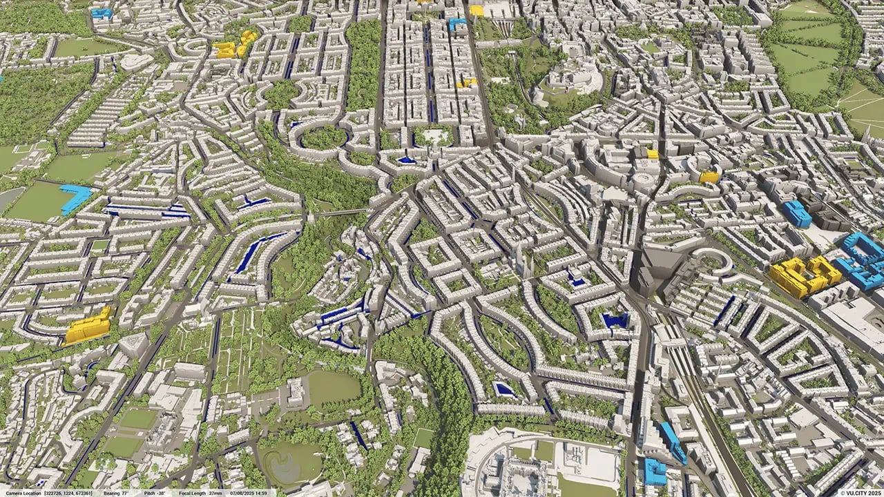
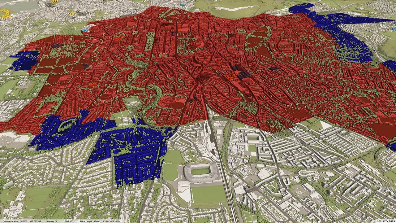
Edinburgh 3D tile coverage
Whether you’re focusing on a single neighbourhood or the entire cityscape, VU.CITY provides full coverage with unmatched precision.
VU.CITY Edinburgh FAQs
Here are some frequently asked questions about VU.CITY's Edinburgh 3D Digital Twin and Model.
What is VU.CITY Edinburgh, and how does it benefit urban planners and developers?
VU.CITY Edinburgh provides a comprehensive 3D digital model of Edinburgh, supporting urban planners, architects, and developers in visualising new projects within the city’s landscape, thus enhancing planning accuracy, collaboration, and decision-making.
How does VU.CITY Edinburgh aid in securing planning permission?
VU.CITY Edinburgh streamlines the planning permission process by offering a detailed 3D visualisation of proposed projects within Edinburgh’s zoning and heritage areas, helping stakeholders address planning requirements effectively.
What are the key data layers available in the VU.CITY Edinburgh model?
The model includes data layers for transportation, environmental impact, building heights, conservation zones, and land usage, all crucial for informed and sustainable urban planning.
How does 3D city modeling with VU.CITY improve public consultation in Edinburgh?
VU.CITY Edinburgh allows the public to see new developments in a 3D context, making consultations more transparent and encouraging community feedback. This approach fosters trust and engagement by providing a realistic view of project impacts.
What role does VU.CITY Edinburgh play in sustainable city planning?
VU.CITY Edinburgh supports sustainable planning by allowing planners to assess environmental impacts and develop strategies that align with Edinburgh’s green and urban conservation goals, ultimately contributing to a more sustainable cityscape.
Explore digital 3D geospatial solutions for the built environment
VU.CITY provides clear, powerful tools for key decision-makers across the built environment, helping them visualise and shape the future of cities with confidence and precision.
Make smarter decisions with data-driven insights, from infrastructure to sustainability.
Unlock the power of Generative AI for optimal design and streamlined decision-making.
Bring your designs to 3D life with state-of-the-art modelling tools.
Collaborate seamlessly across studies, planning, and design.
Utilise advanced 3D models and a data-driven approach with our flexible ZTV service.
Bring Your Vision to Life with a 3D Flythrough Video.
26 UK & International Cities
Over 3,000+ sq km accurate to 15cm | Tools to scope, create & collaborate on designs
Shape Tomorrow’s Cities, Today.
Begin Your Free Trial Now.
- 1
- 2
- 3

