
Dublin 3D Model
VU.CITY Dublin saves time and money for professionals involved in the design, planning and development of the built environment.
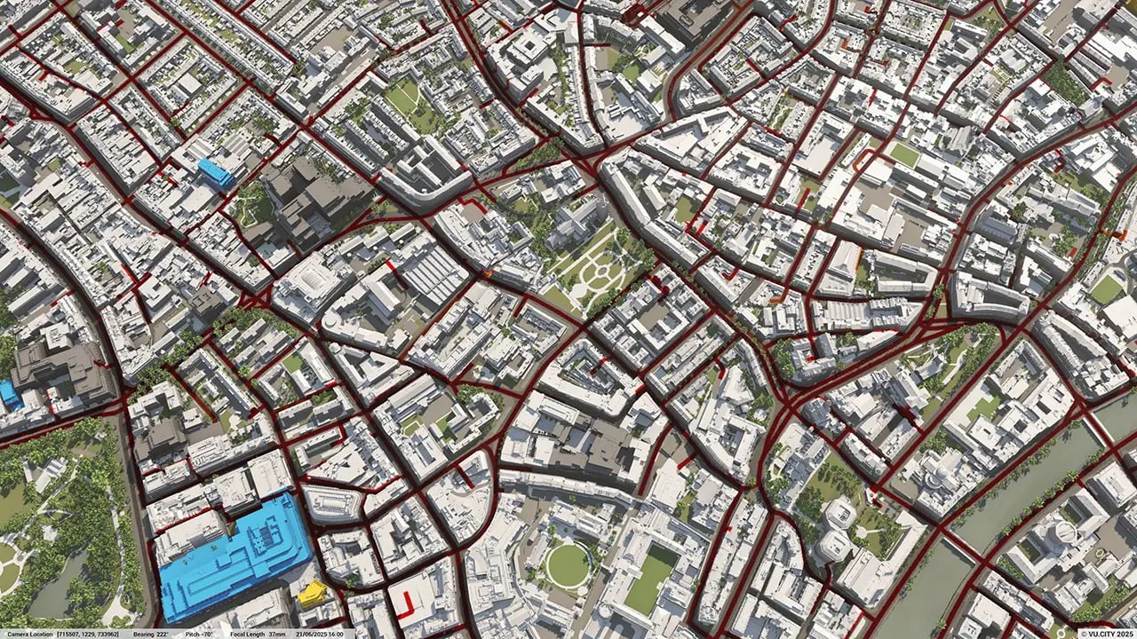
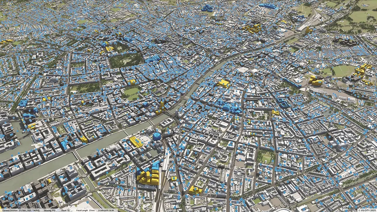
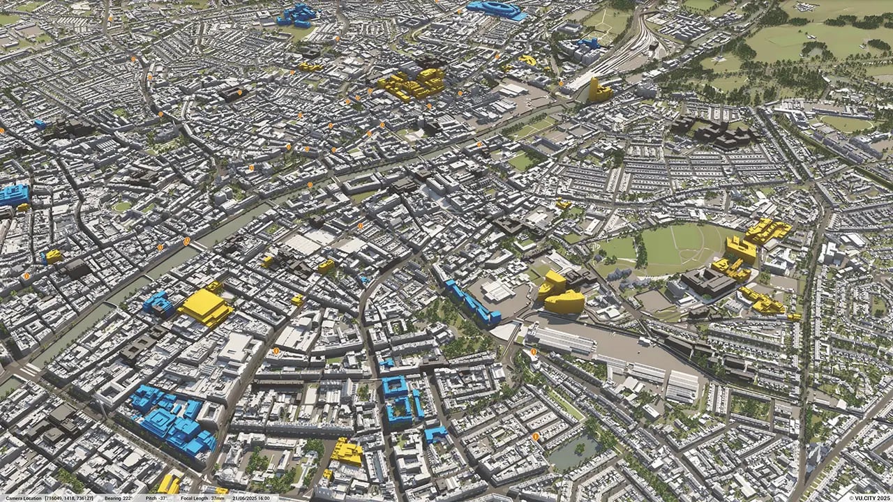
Our accurate and interactive 3D digital twin model of Dublin is enriched with data and tools to help you collaborate and analyse the real world impact of proposals, allowing you to make better design, and planning decisions, faster.
-
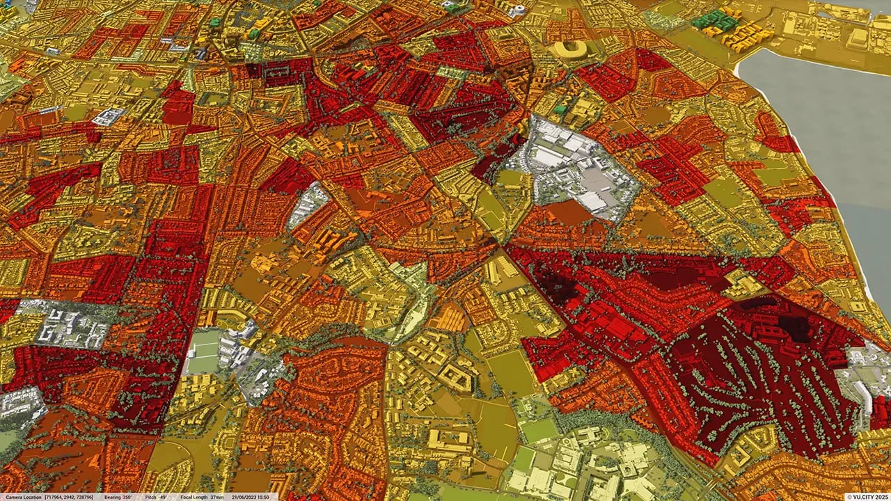
30DATA LAYERS
-
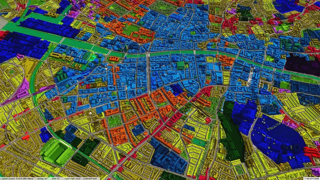
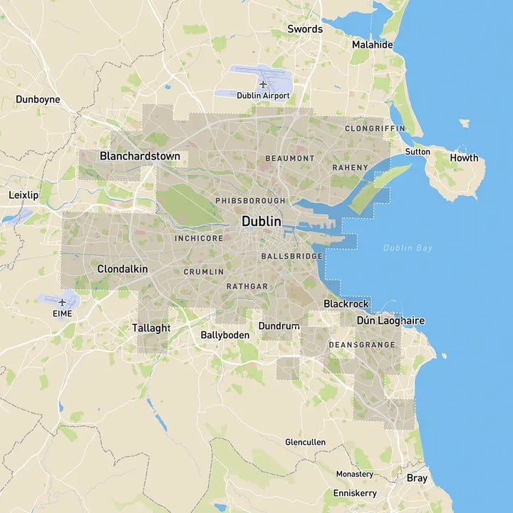
254.85 sq kmMODELLED TO 15CM ACCURACY
-
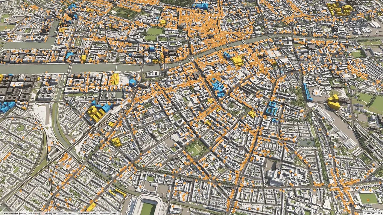
294Consents approved VU.CITY
-
1,071,699TREES, ACCURATE HEIGHT AND CANOPY

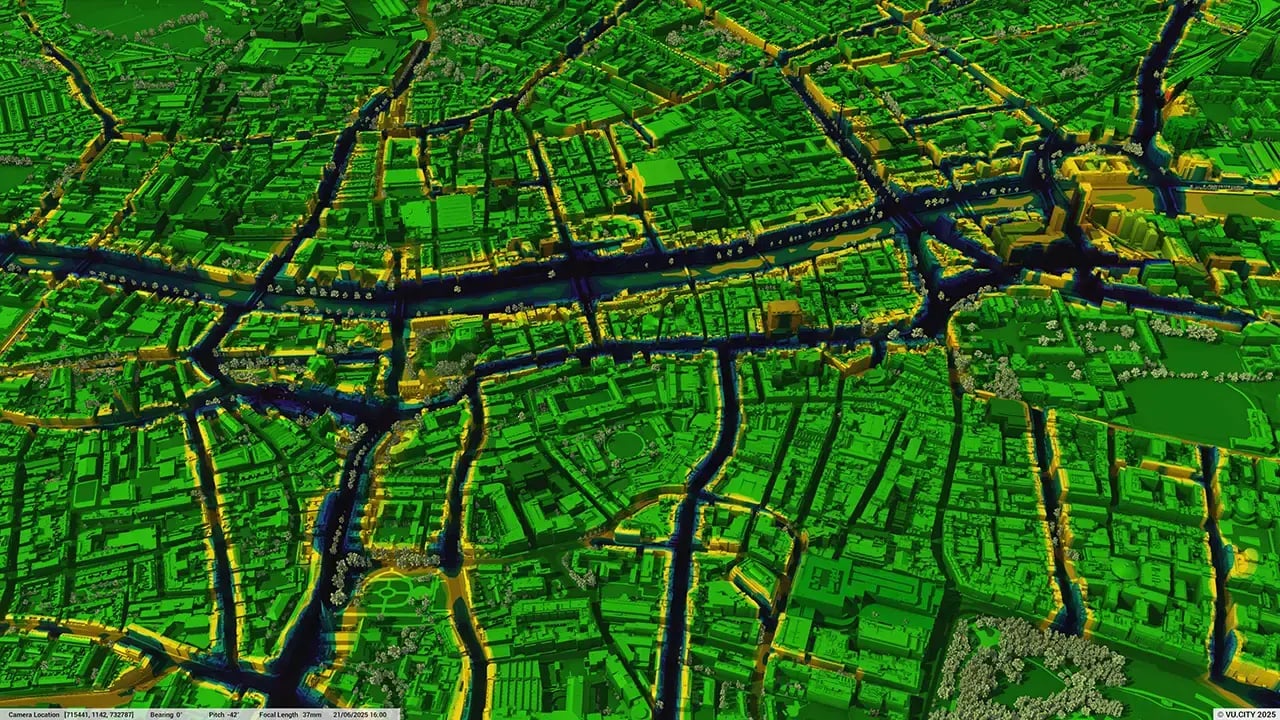
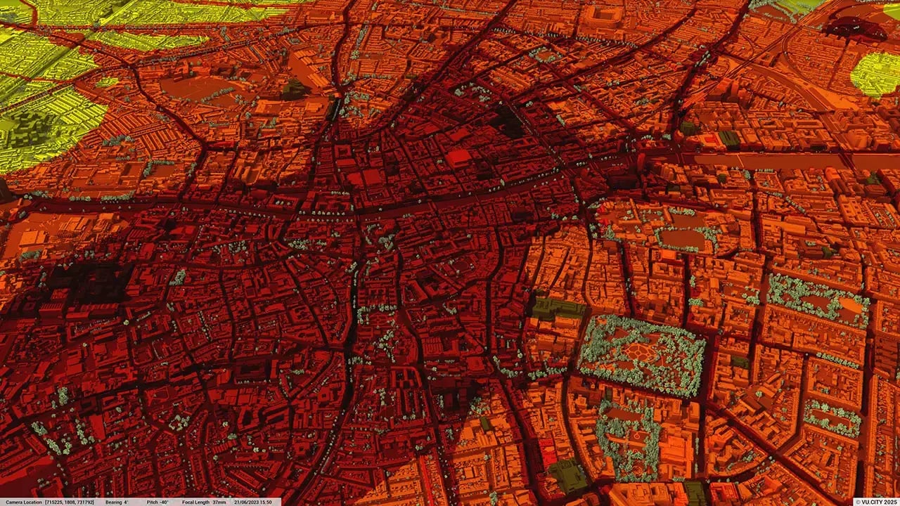
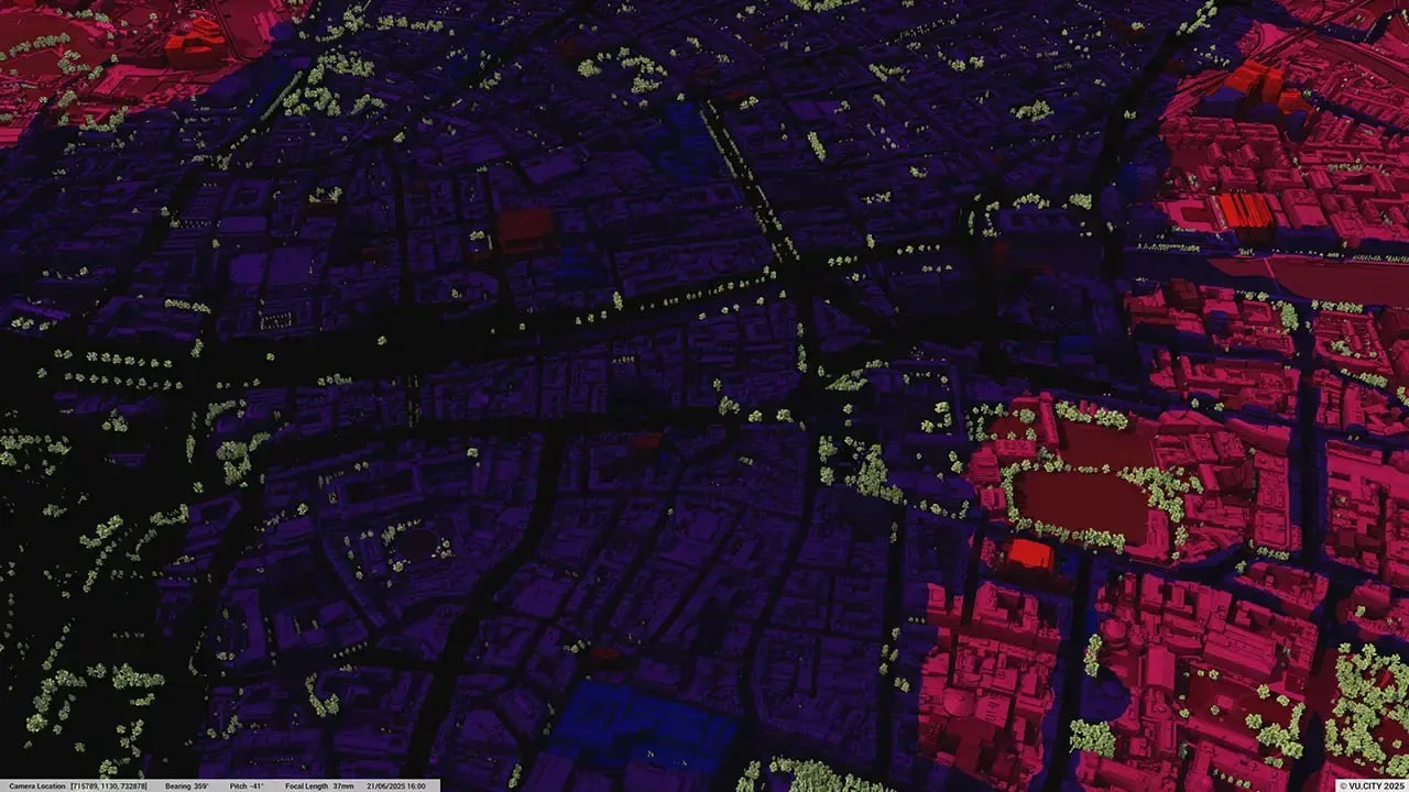
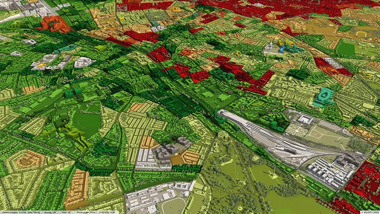
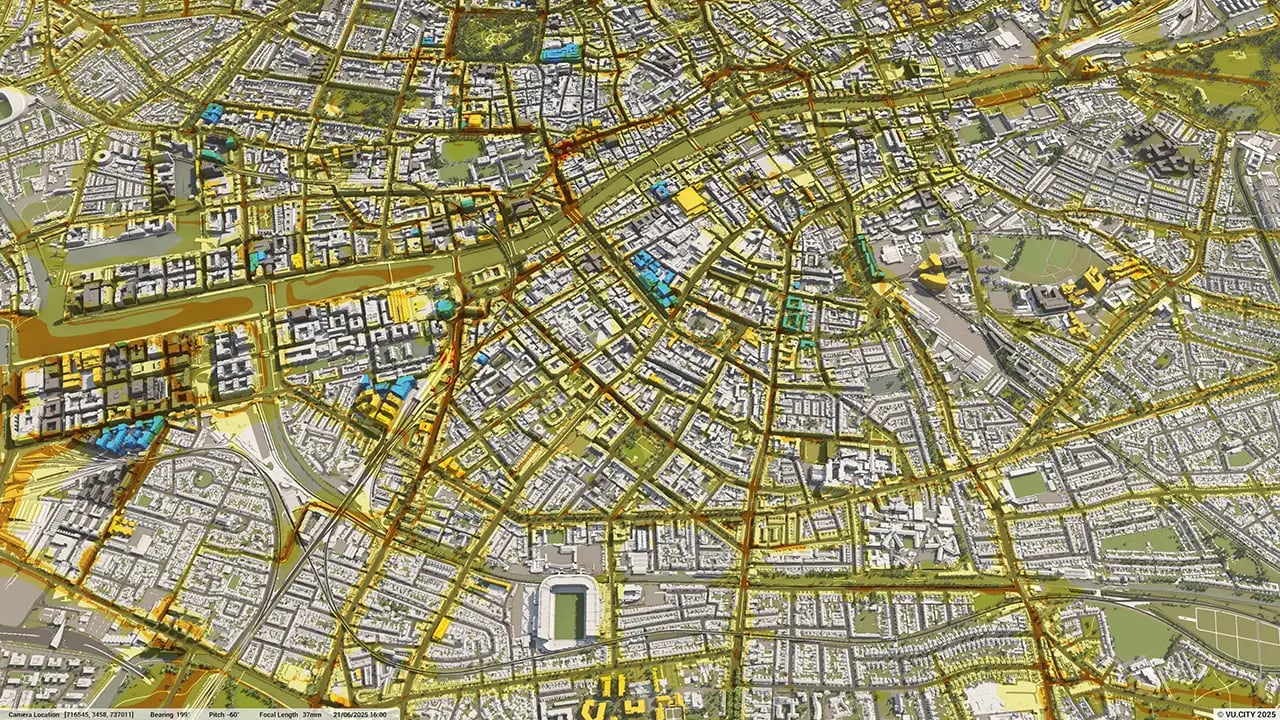
Dublin data layers
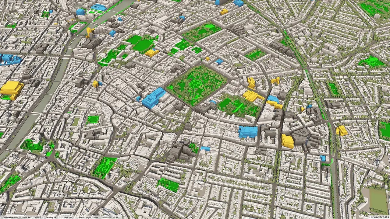
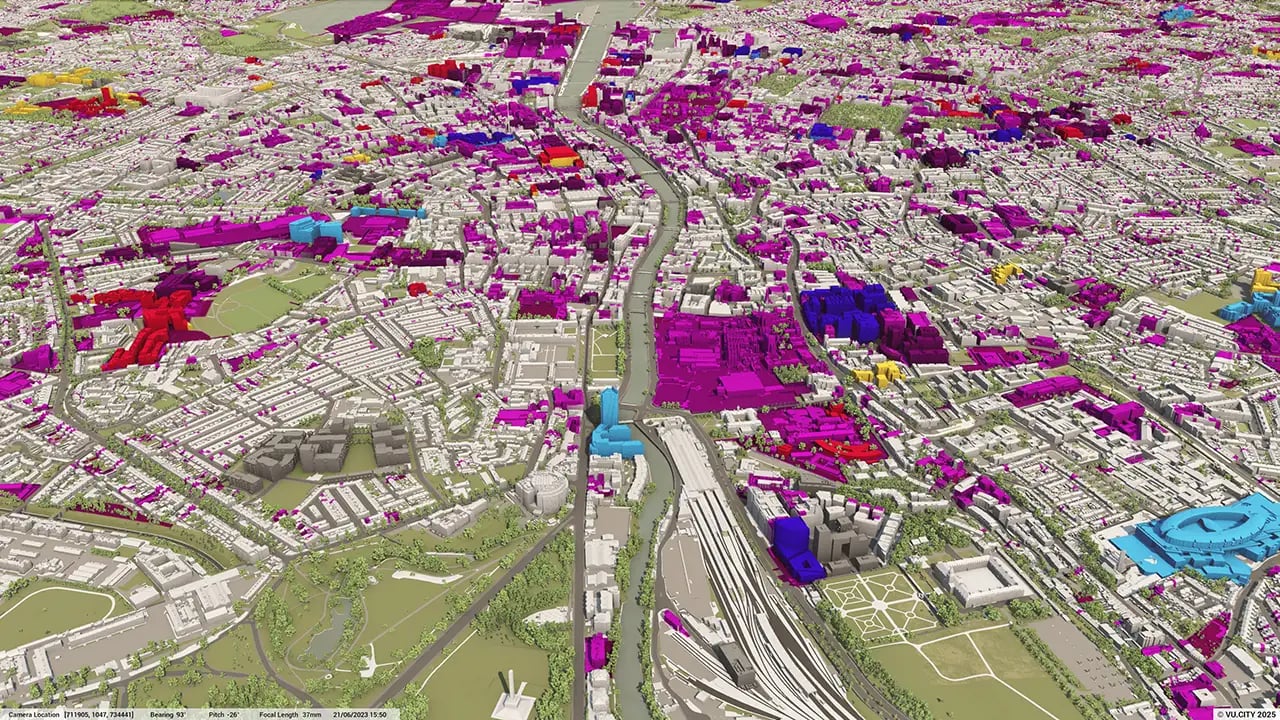
From transportation and zoning to environmental factors, VU.CITY Dublin 3D model data layers provide essential insights for more informed and confident decision-making.


Dublin is a hotbed of innovation. The planning system is set for an entire overhaul over the coming months, and VU.CITY is supporting the digital transformation of Irish planning. Local Authorities who are now to authorise approvals locally can use 3D visualisation to aid them in understanding development proposals visually.
There has been a great response from the Irish market since VU.CITY launched the Dublin model in early 2021. The value of transparency from working with VU.CITY Dublin is recognised by those working in private and public sectors.
VU.CITY is acknowledged as the most advanced 3D model of Dublin, with users including Dublin City Council, Savills, 3D Design Bureau, Reddy Architecture + Urbanism, O'Mahony Pike Architects, Hines, Henry J Lyons and many more.
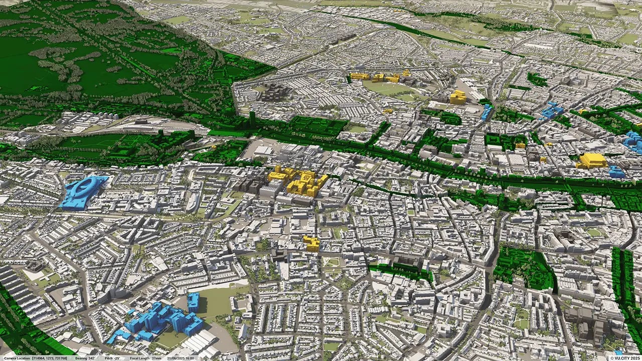
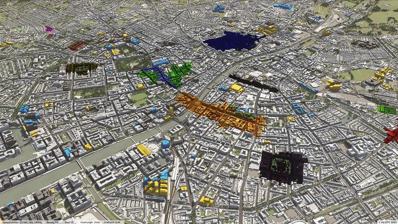
Users of VU.CITY’s Dublin are using the model to shape some of the largest and ambitious master plans in Europe. The accuracy and vastness of the model, coupled with design and planning functionality and data, is helping lead to better decision-making and positive outcomes.
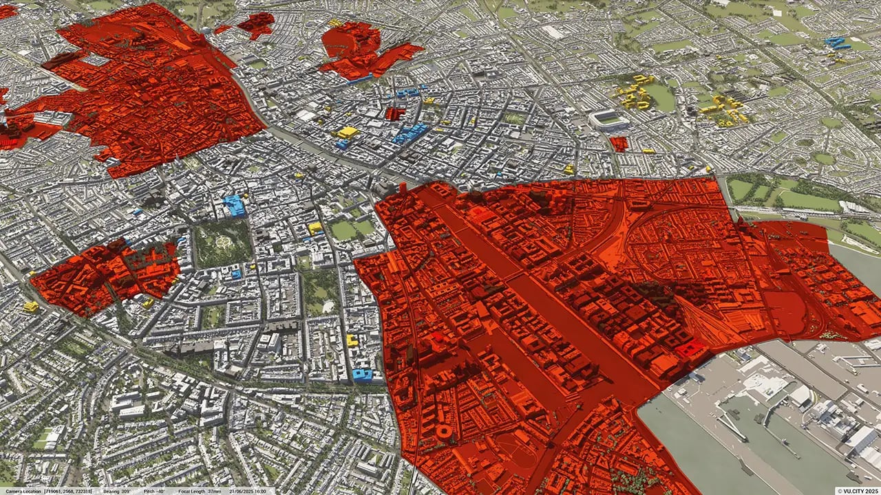
Those trying to push boundaries in height, are able to use VU.CITY as an evidentiary tool to show exact viewpoints and understand just how taller schemes will impact. This is key in this historically low-lying city.
The Dublin City Region plays a key role in Ireland’s economy and is home to some of the world’s leading technology companies and financial institutions. With Brexit having moved many firms to the Emerald Isle, the city is rapidly expanding and the need for well-designed and thought-out places are needed more than ever before.
With that, housing is the main real estate theme for Dublin. A brand new 'Housing for All' Plan has been put in place. A €4 billion per year plan – with over 300,000 homes set to be delivered in Ireland by 2030. VU.CITY will help to speed up this much needed housing and ensure that good quality designs get the approval.
€500 million has recently been allocated to bring further pioneering development to Dublin. With VU.CITY, you can make better design and planning decisions for the future of Dublin.
Trusted by 6,000+ users across 26 cities
Architects, developers, local authorities, urban planners, and more trust VU.CITY to help achieve their goals.
Organise and visualise your geospatial data in accurate context with our comprehensive suite of digital design and development tools.
VU.CITY Dublin: 3D Model Features and Planning Tools


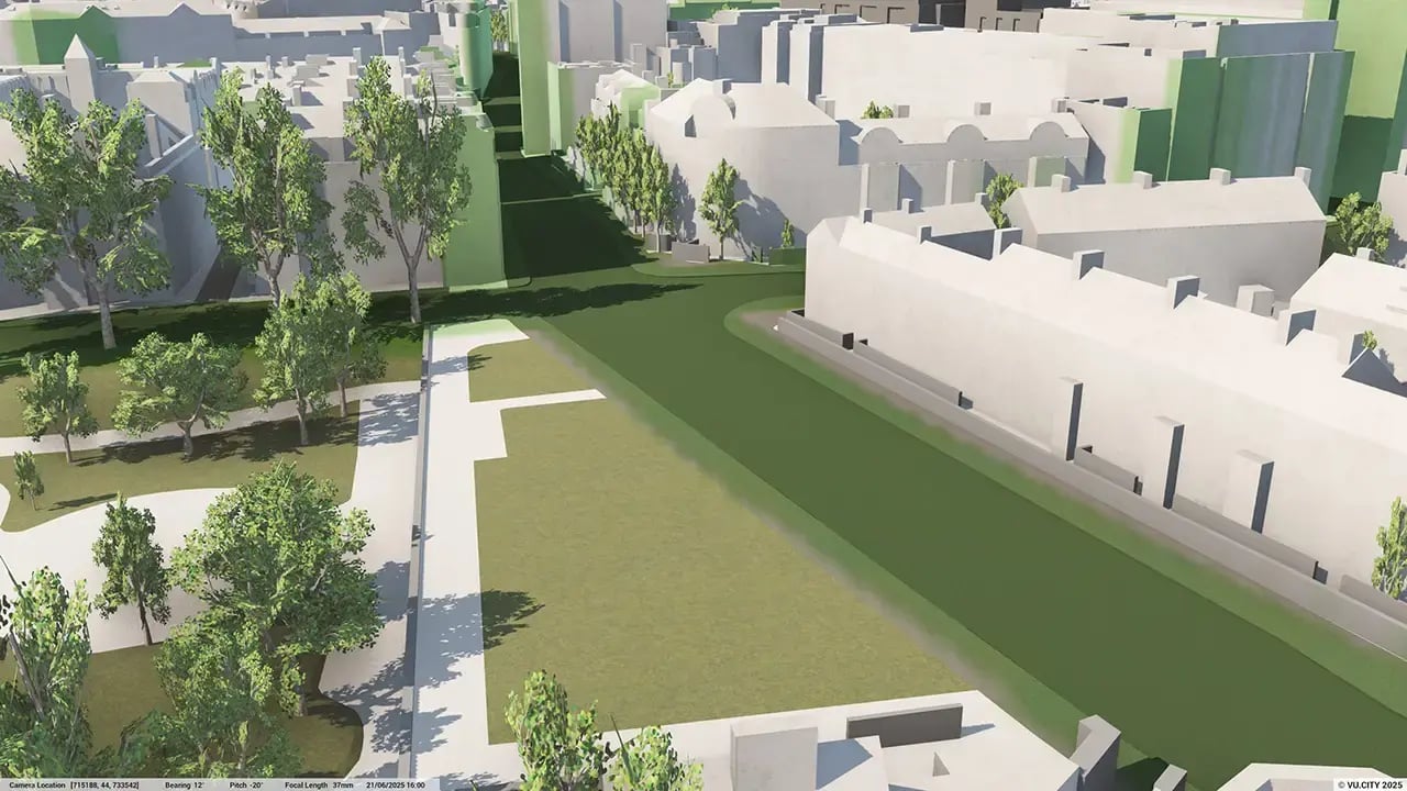
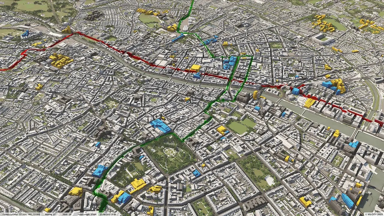
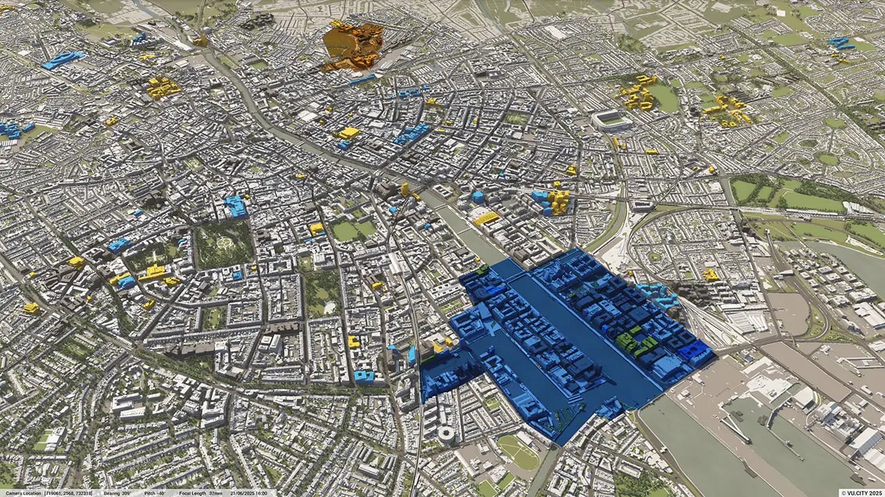
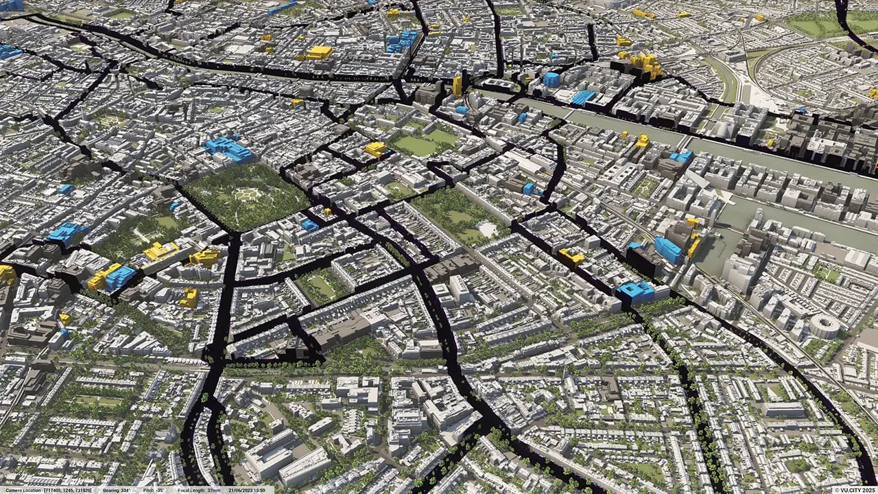
Dublin 3D tile coverage
Whether you’re focusing on a single neighbourhood or the entire cityscape, VU.CITY provides full coverage with unmatched precision.
VU.CITY Dublin FAQs
Here are some frequently asked questions about VU.CITY's Dublin 3D Digital Twin and Model.
How does VU.CITY Dublin support urban planning in the city?
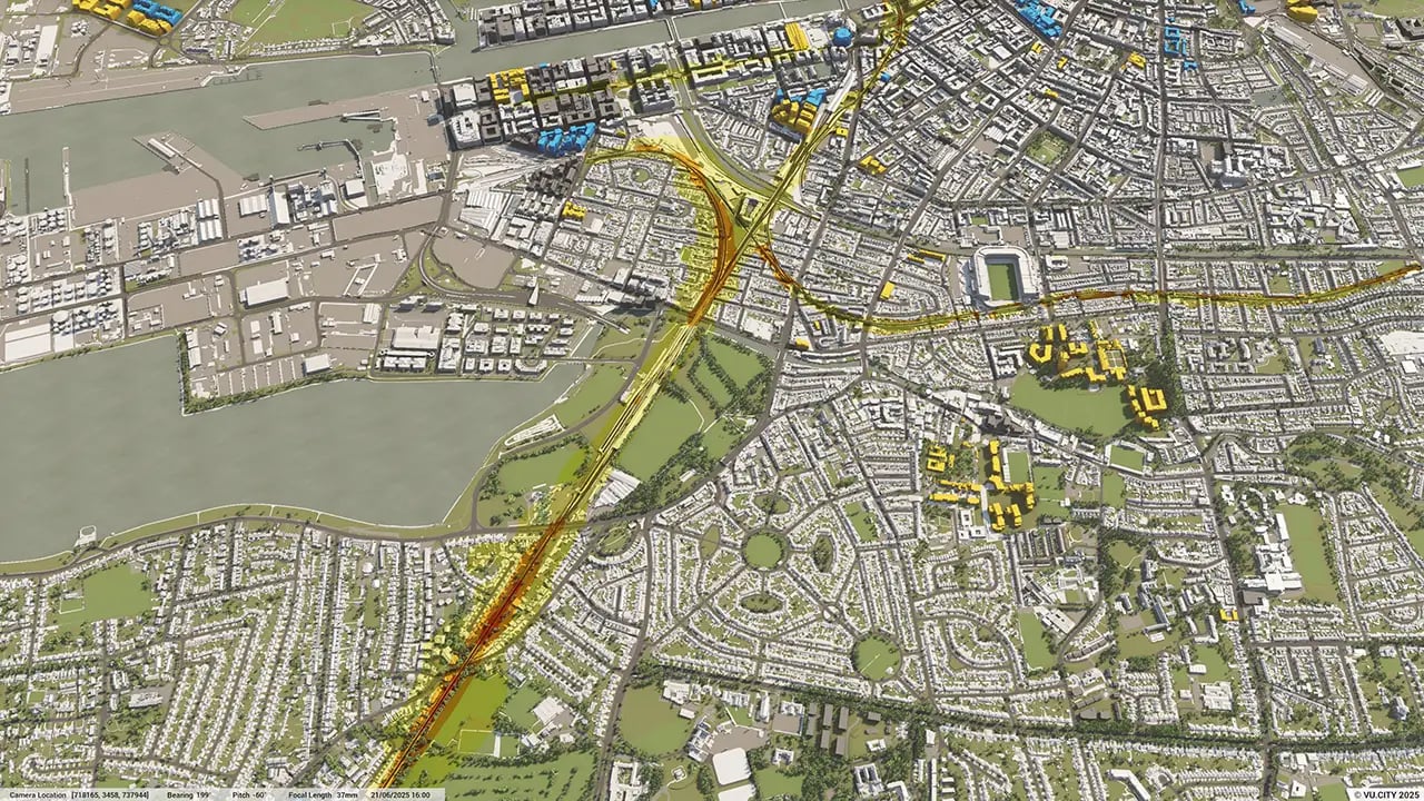
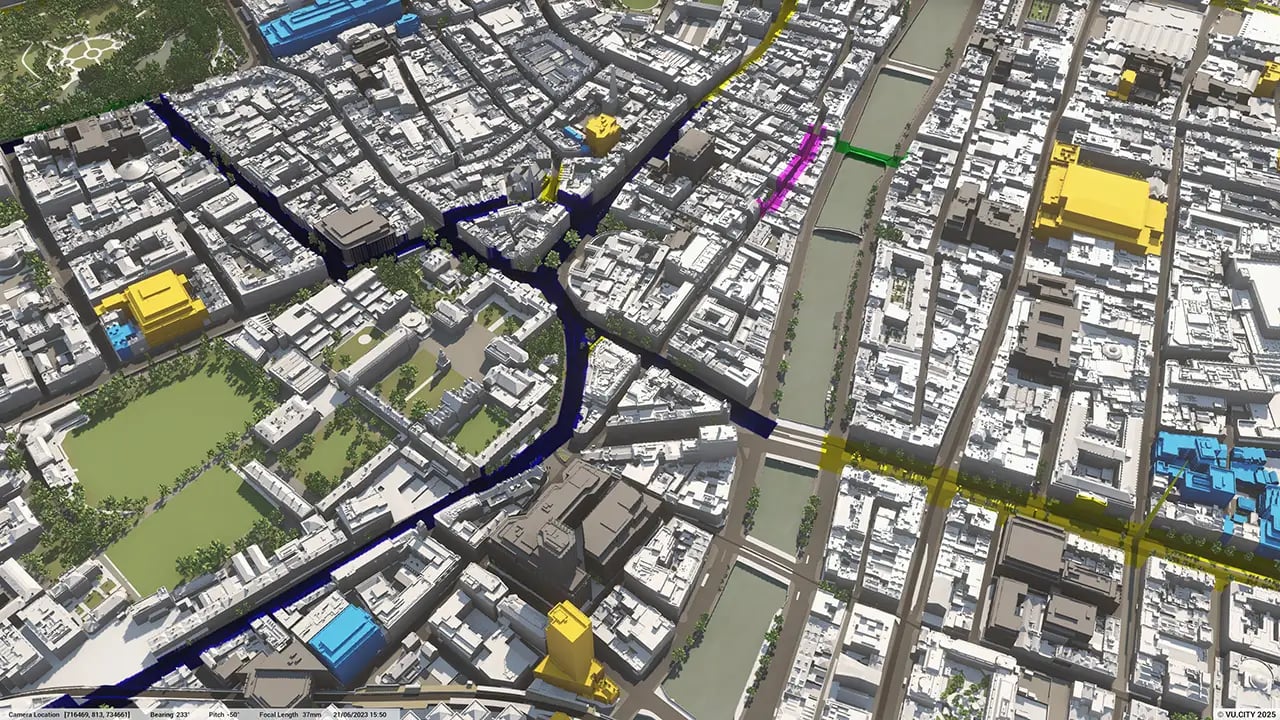
VU.CITY Dublin provides a detailed, interactive 3D model that helps planners, architects, and developers visualise projects within the city. The platform facilitates better decision-making by assessing visual impacts, regulatory compliance, and environmental factors in real-time.
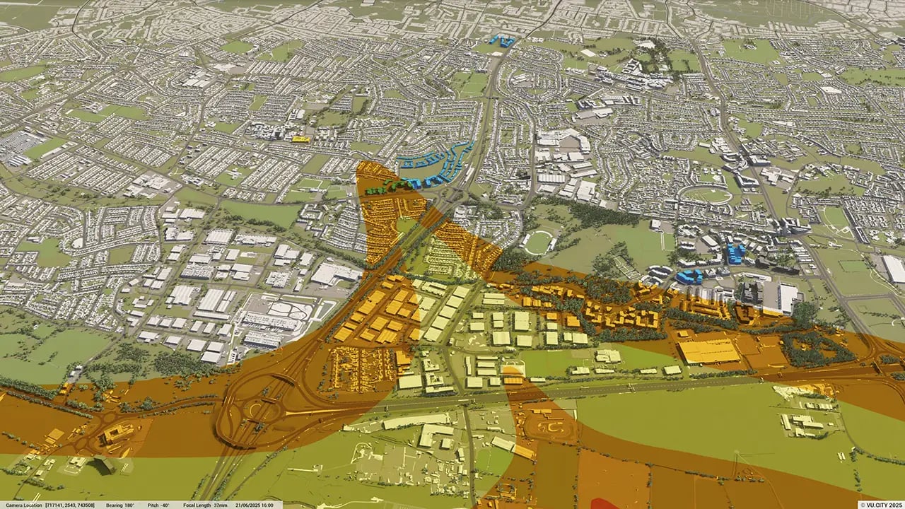
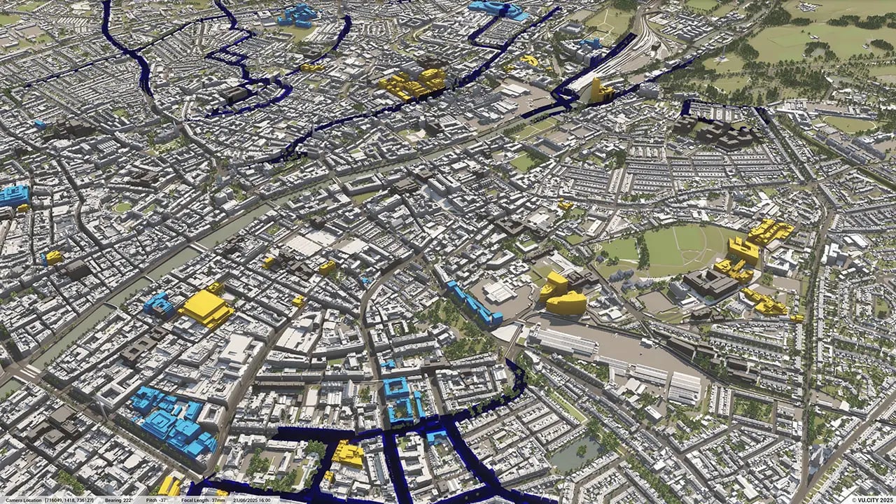
What data layers are included in the VU.CITY Dublin platform?
VU.CITY Dublin offers extensive data layers, including building heights, zoning, heritage sites, transportation networks, and environmental overlays. These layers allow for comprehensive analysis and aid in informed planning and development.
How can VU.CITY Dublin enhance the planning approval process?
By enabling stakeholders to visualise proposed projects within a precise 3D model of Dublin, VU.CITY Dublin helps identify potential challenges early, communicate proposals effectively to decision-makers, and streamline the approval process.
Who can benefit from using VU.CITY Dublin?
VU.CITY Dublin is beneficial for city planners, developers, architects, local authorities, and asset managers. It provides an integrated platform for analysing projects and collaborating effectively to meet planning and sustainability goals.
How frequently is the VU.CITY Dublin model updated?
The VU.CITY Dublin model is regularly updated with the latest city developments, planning data, and environmental information. This ensures users access the most current data, enabling precise project planning and assessment.
Explore digital 3D geospatial solutions for the built environment
VU.CITY provides clear, powerful tools for key decision-makers across the built environment, helping them visualise and shape the future of cities with confidence and precision.
Make smarter decisions with data-driven insights, from infrastructure to sustainability.
Unlock the power of Generative AI for optimal design and streamlined decision-making.
Bring your designs to 3D life with state-of-the-art modelling tools.
Collaborate seamlessly across studies, planning, and design.
Utilise advanced 3D models and a data-driven approach with our flexible ZTV service.
Bring Your Vision to Life with a 3D Flythrough Video.
26 UK & International Cities
Over 3,000+ sq km accurate to 15cm | Tools to scope, create & collaborate on designs
Shape Tomorrow’s Cities, Today.
Begin Your Free Trial Now.
- 1
- 2
- 3

