
Cambridge 3D Model
Reduce unpredictable variables with our city of Cambridge 3D Model functionality. Rich data layers help minimise design and planning risks, highlight potential impacts, and accelerate key decision-making for projects.
With VU.CITY’s accurate and immersive 3D digital twin platform, all stakeholders can collaborate seamlessly, making smarter decisions and help increase planning success in the built environment.
-
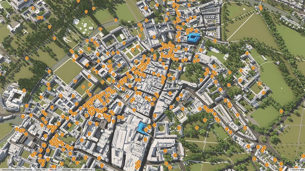
51DATA LAYERS
-
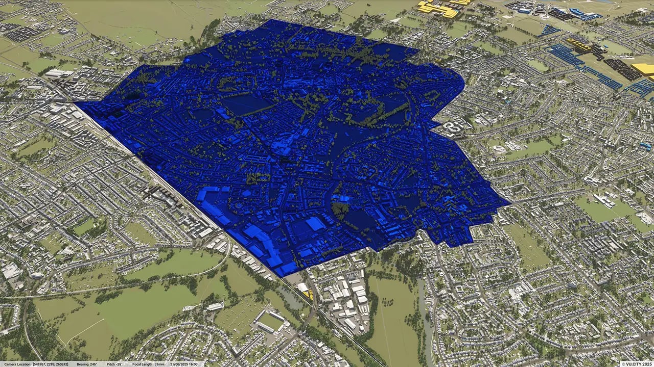
93.69 sq kmMODELLED TO 15CM ACCURACY
-
155Consents approved VU.CITY
-
395,810TREES, ACCURATE HEIGHT AND CANOPY

Cambridge data layers
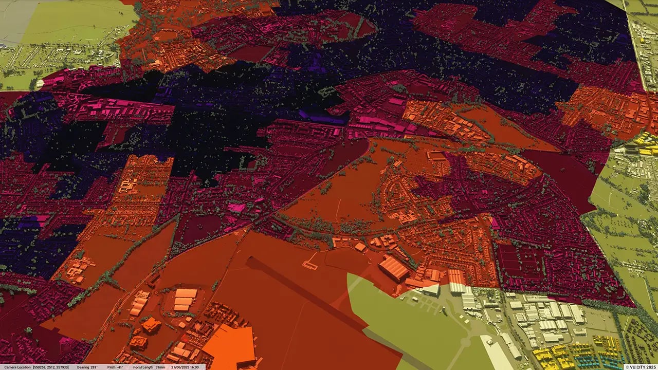
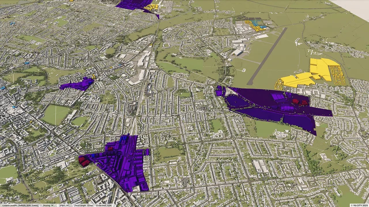
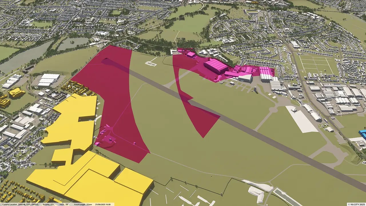
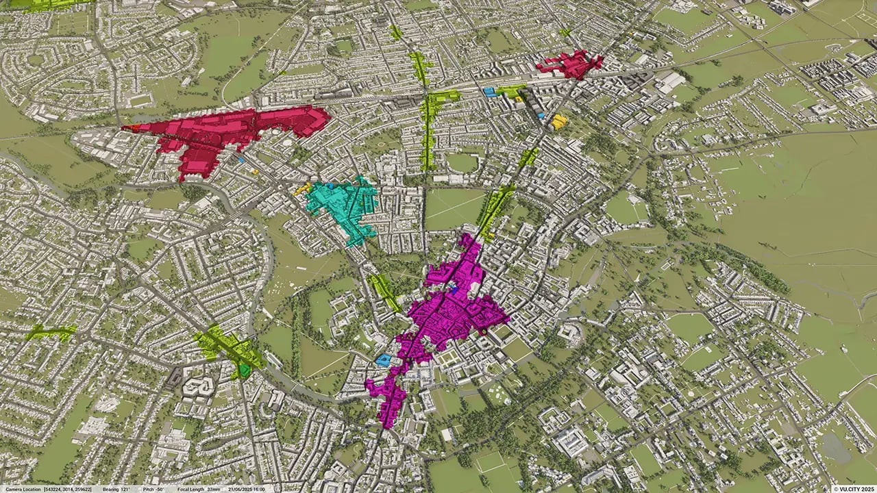
From transportation and zoning to environmental factors, VU.CITY Cambridge 3D model data layers provide essential insights for more informed and confident decision-making.
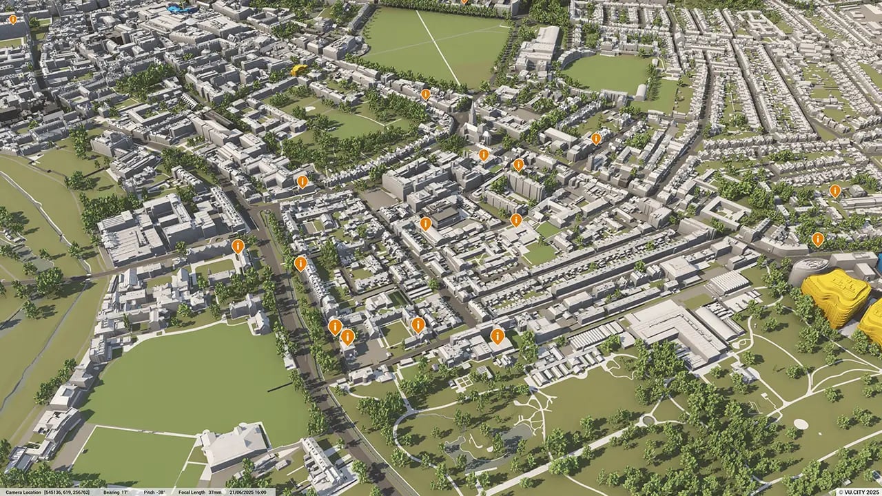
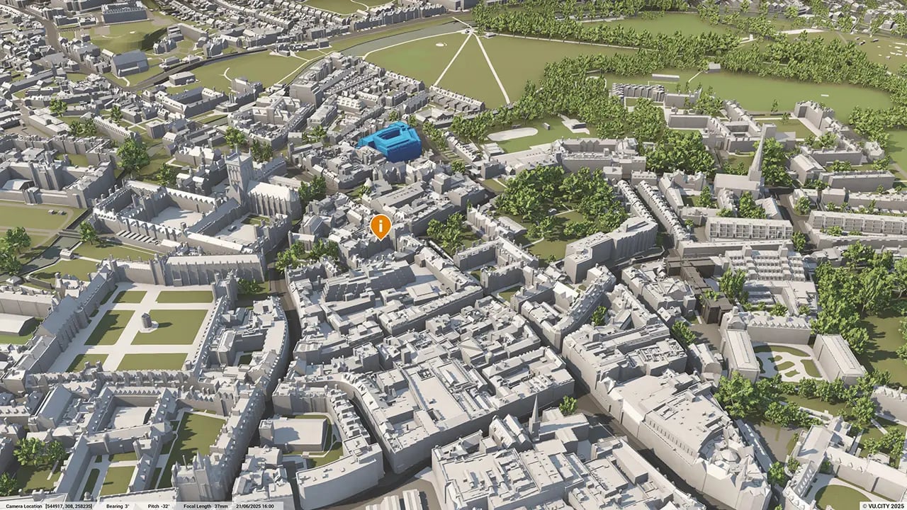
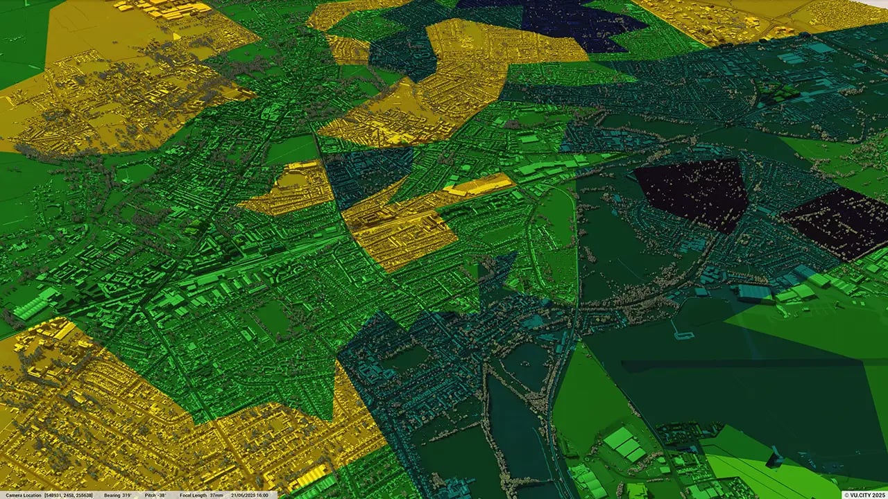
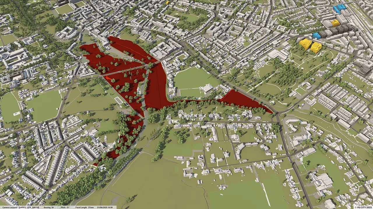
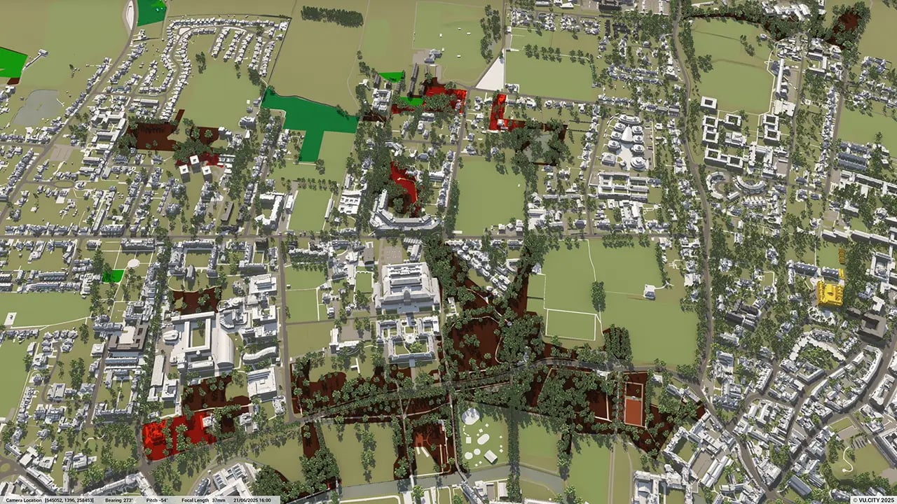
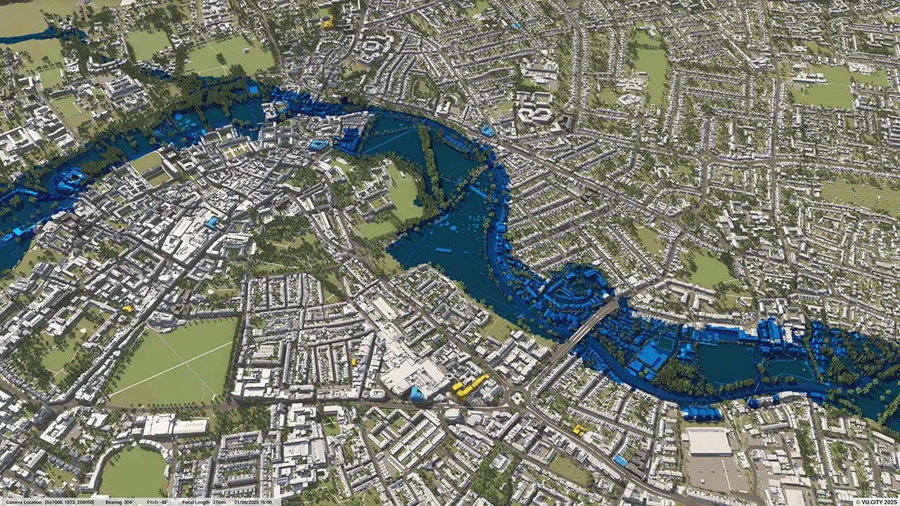
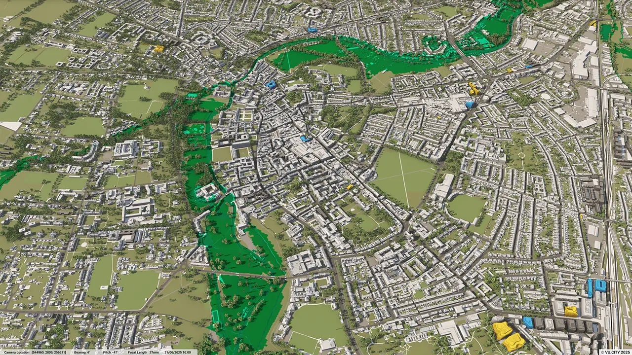
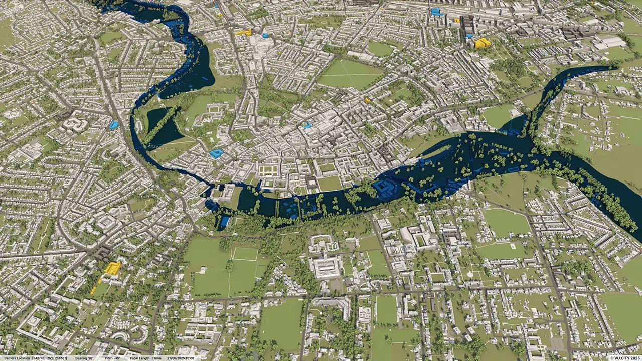
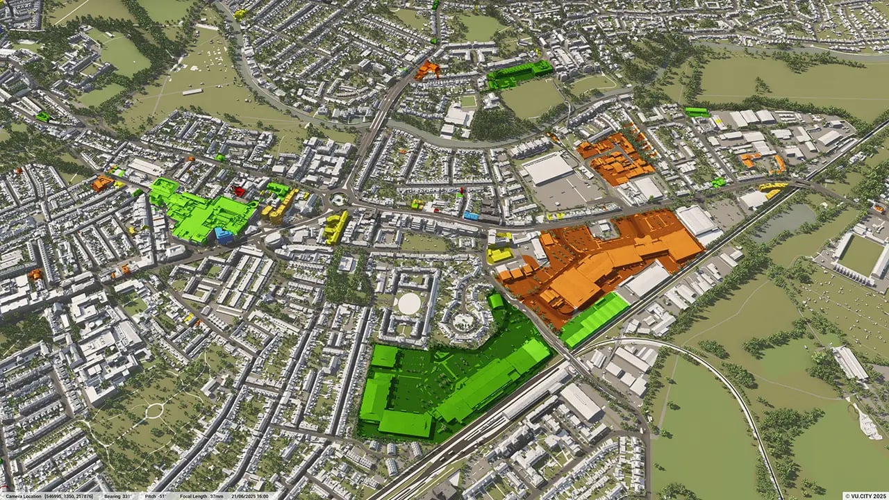
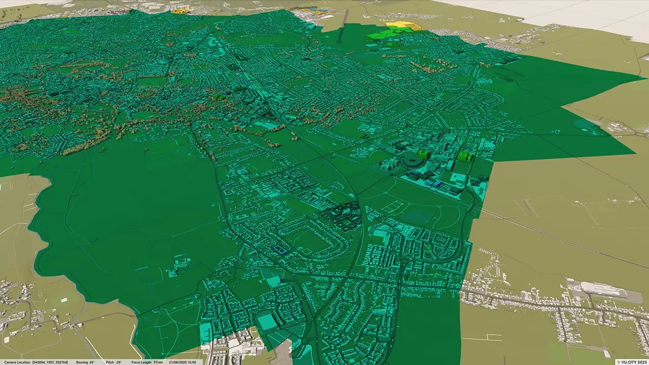
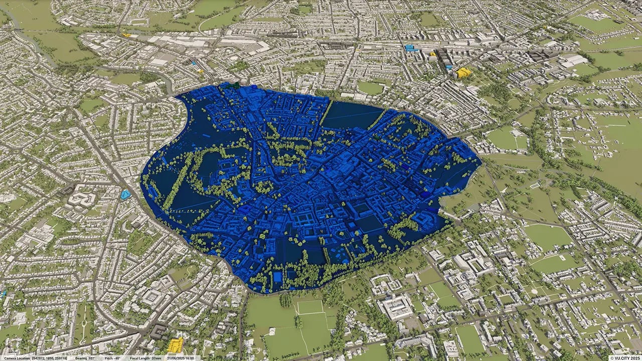
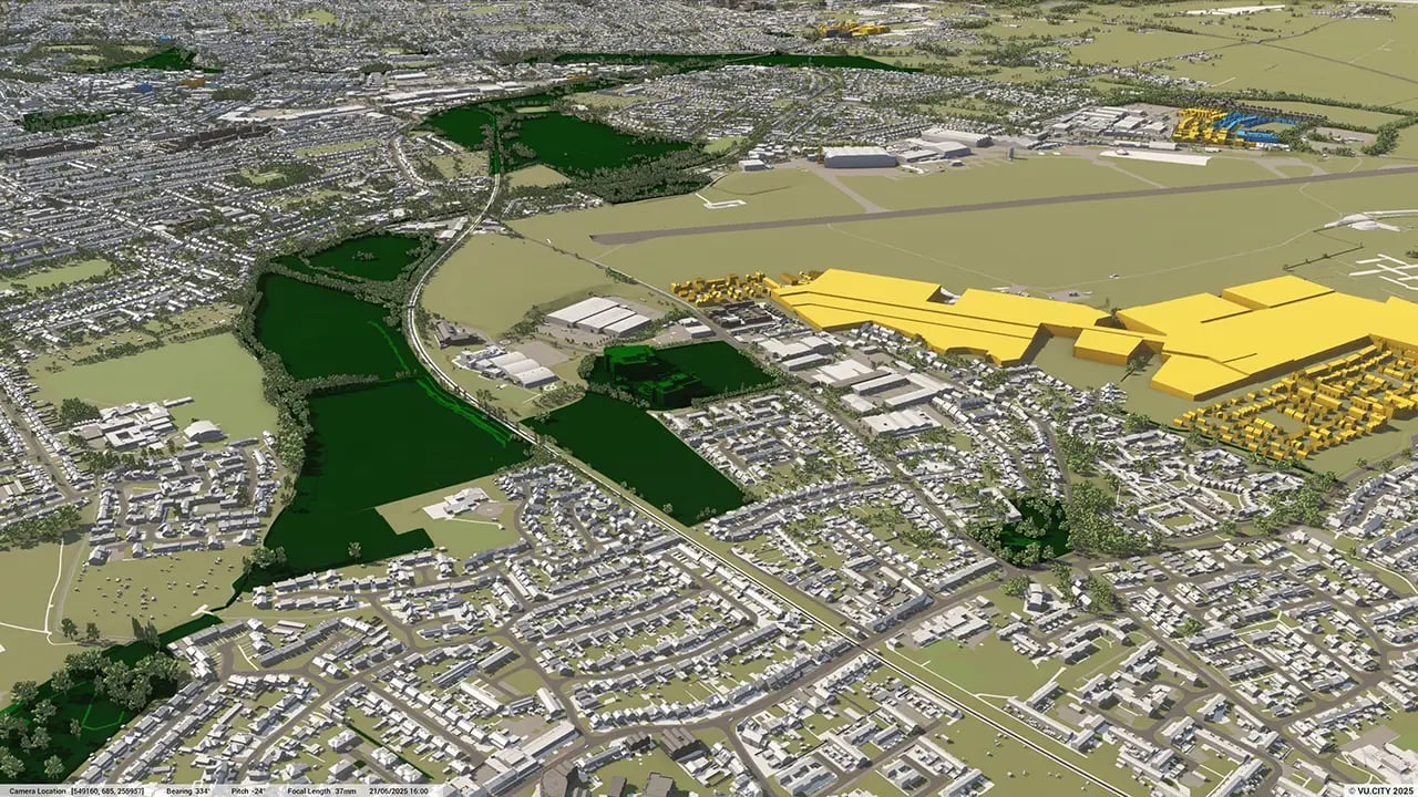
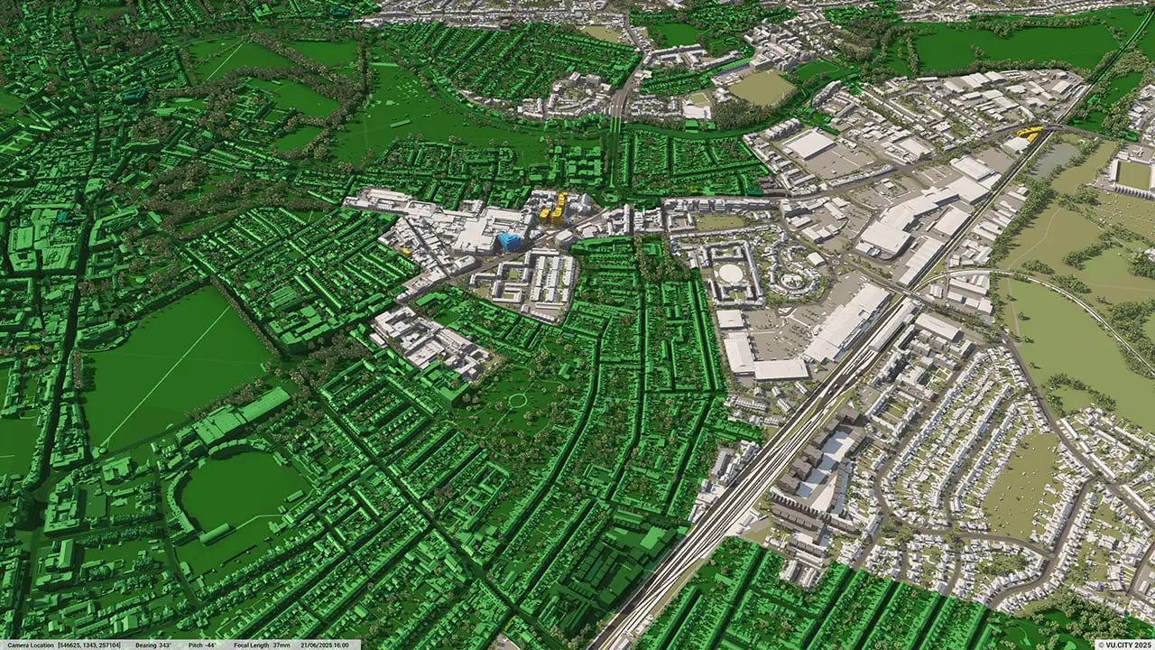
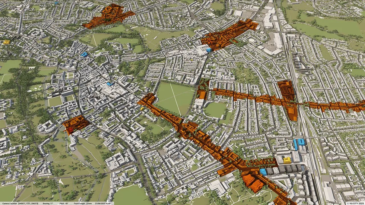
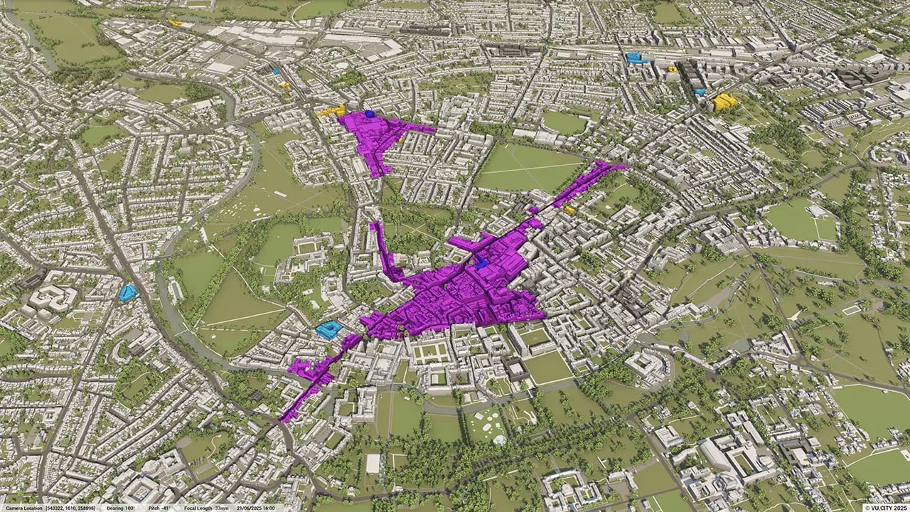
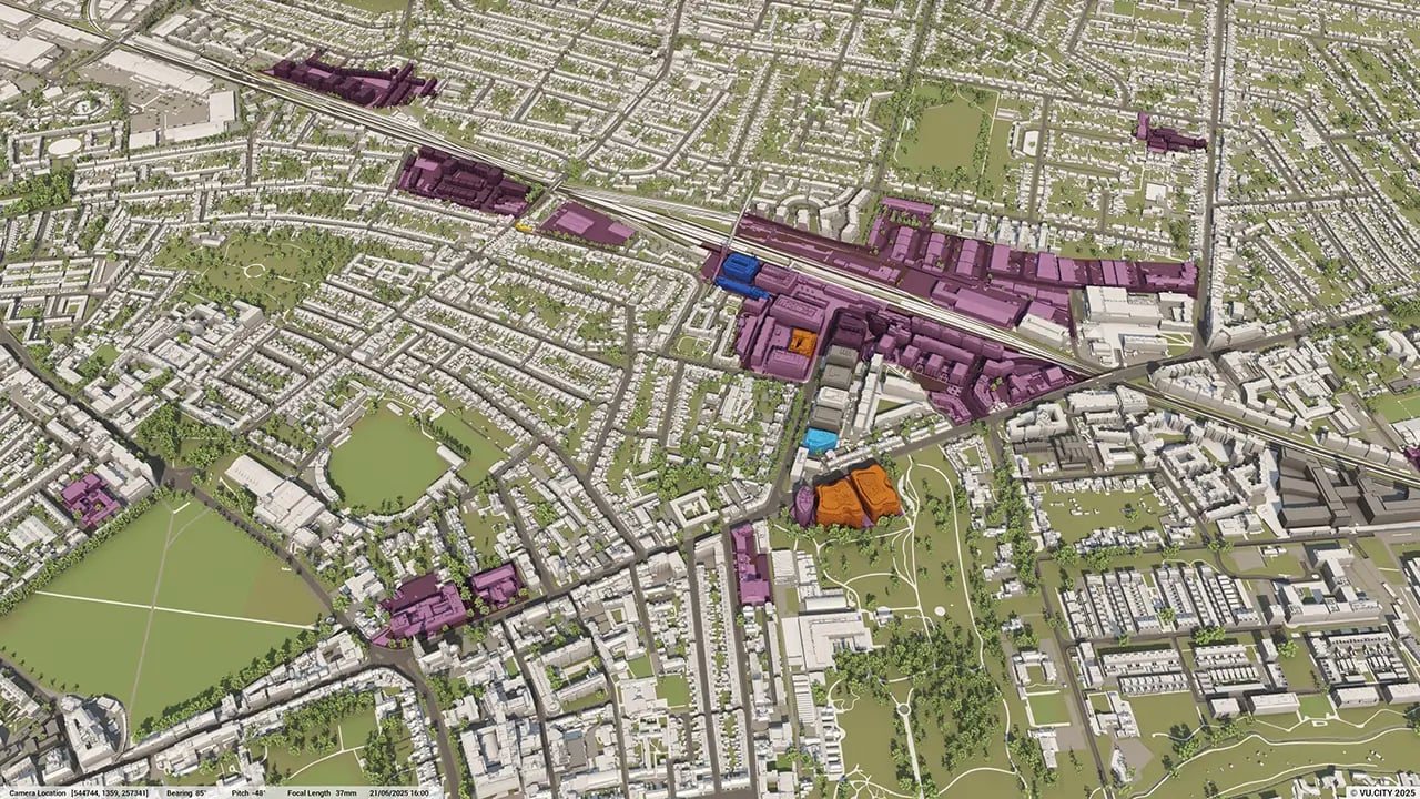
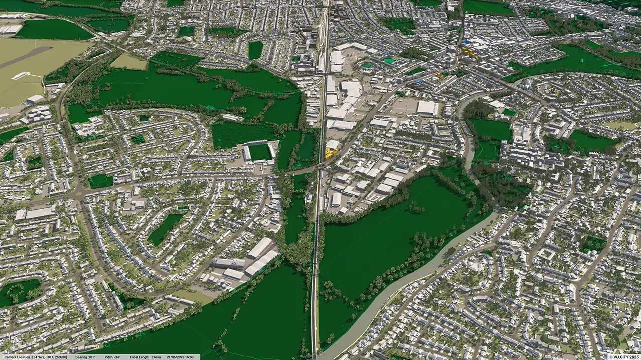
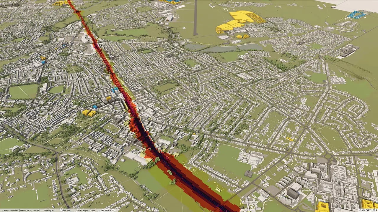
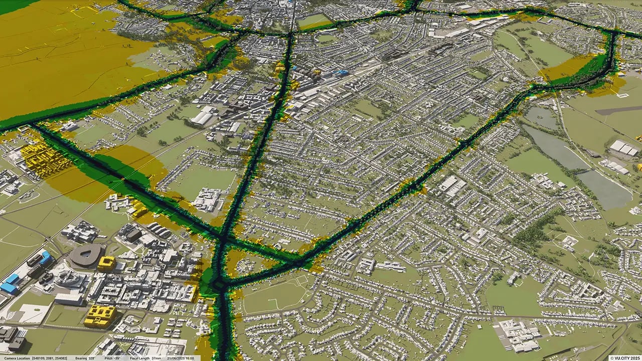
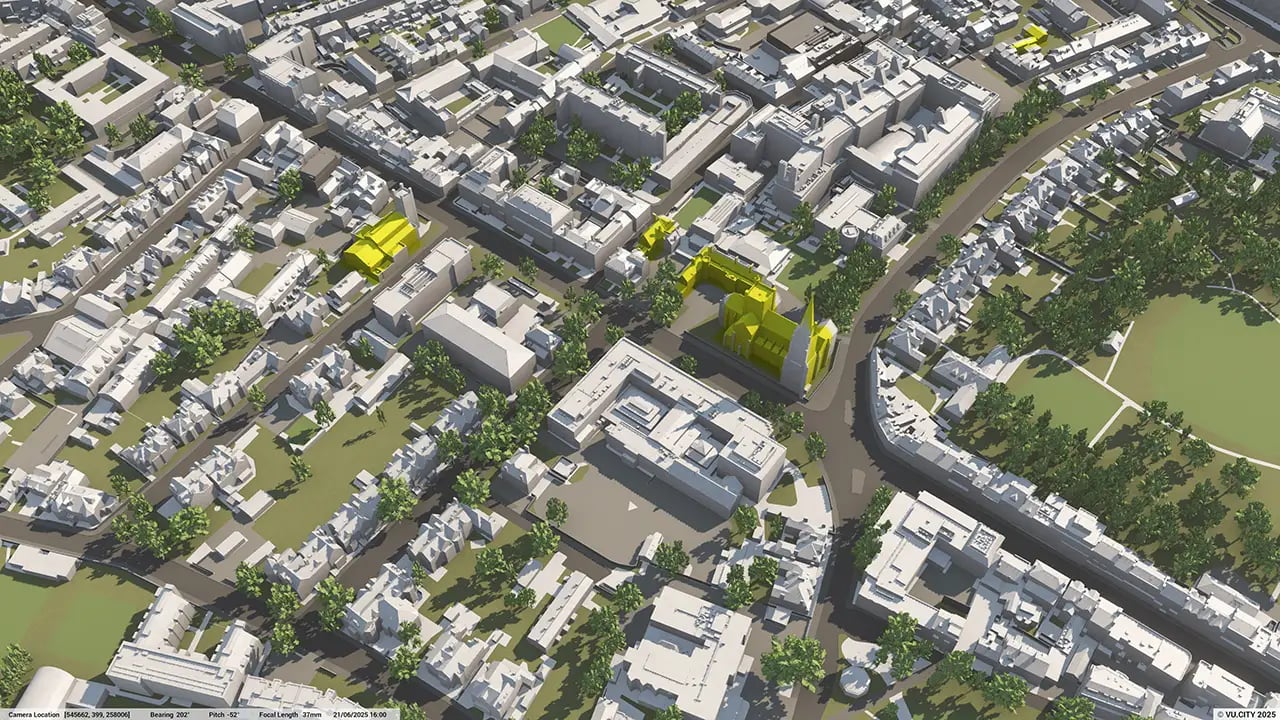
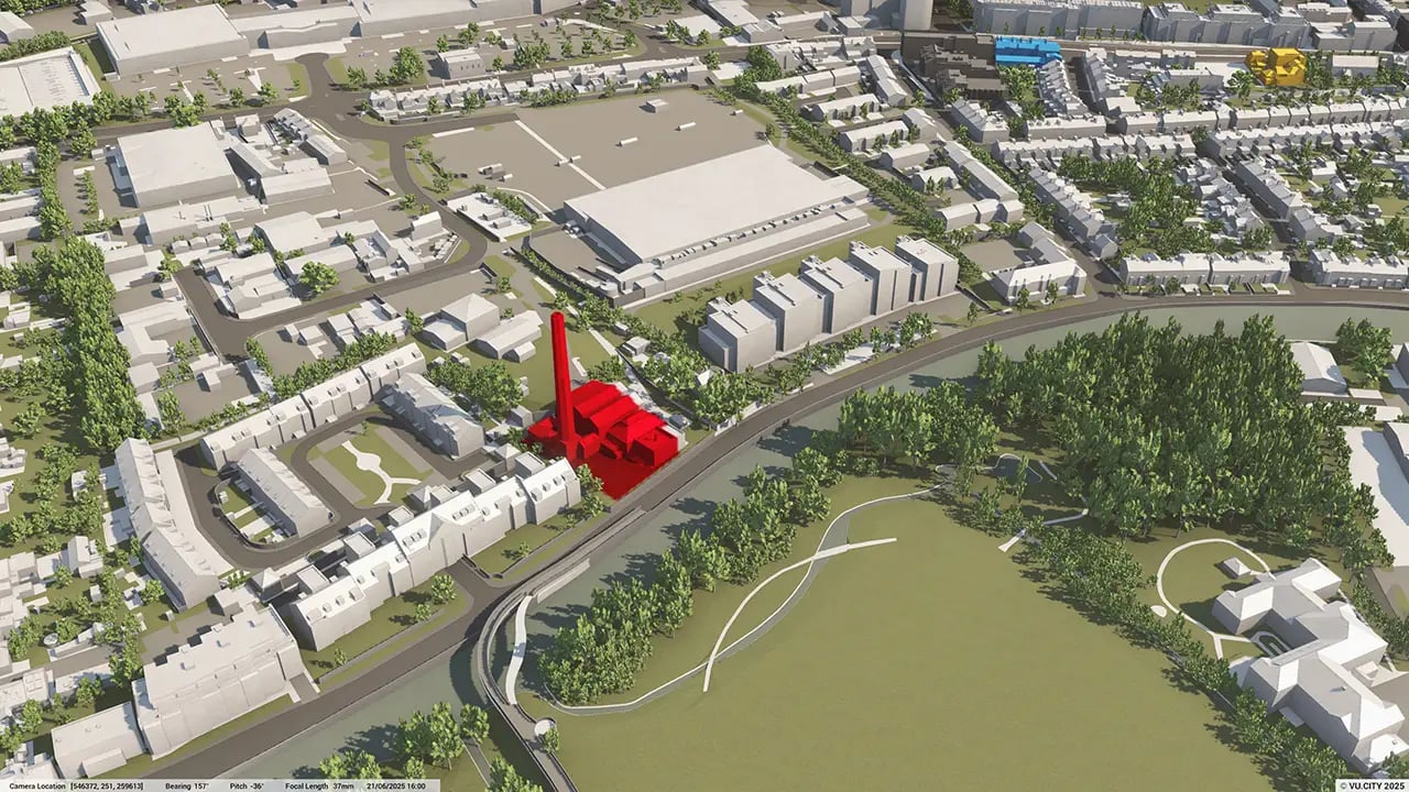

Beautiful and historic, prosperous and innovative, Cambridge has a unique character with many iconic college buildings. Its green spaces within urban areas are especially key to what makes Cambridge unique, yet its conservation constraints mean that land supply is limited. Trees form an important element of Cambridge’s characterful core & surrounding suburbs, with elevated views from the rural hinterland and Castle Mount revealing the classical view of Cambridge’s historic buildings.
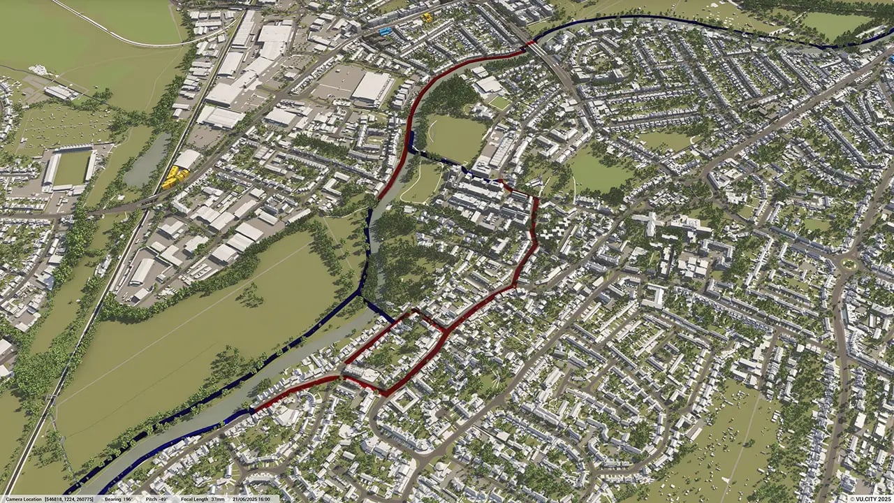
VU.CITY Cambridge enables an understanding of longer range views, with the ability to walk around the model in a 360 degree experience to envisage the impact of any project on the city’s green spaces and built environment.
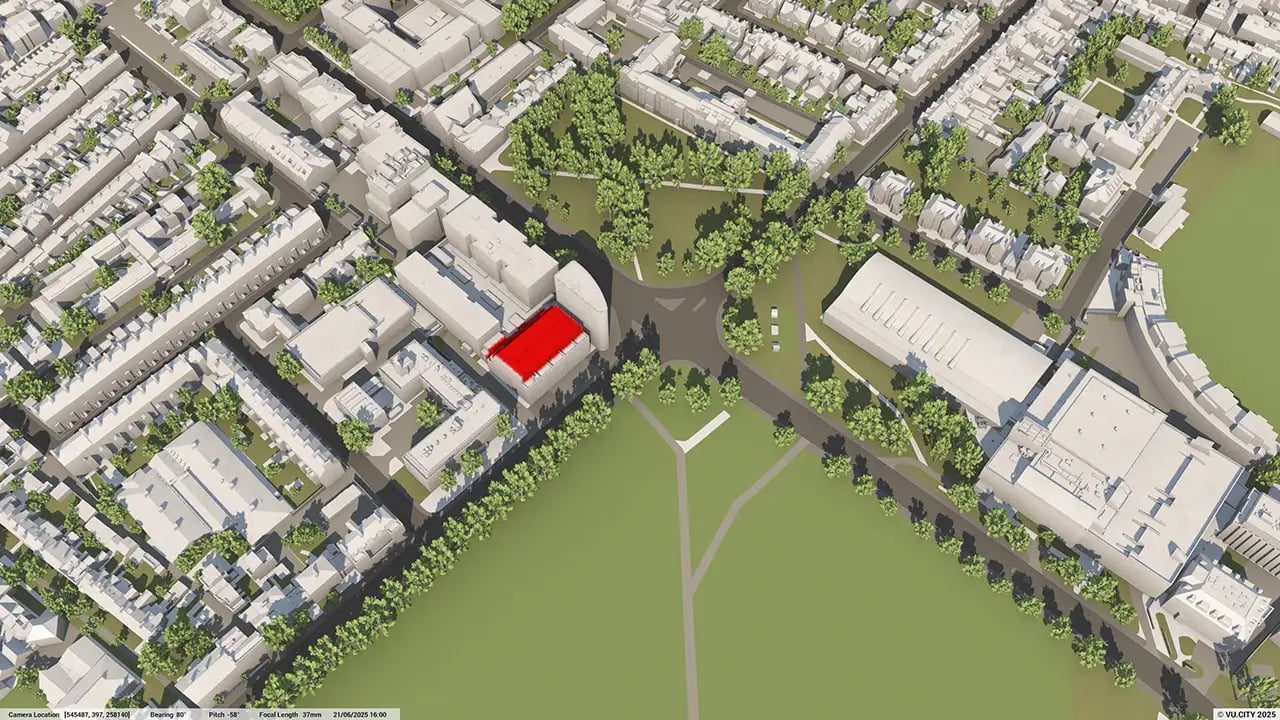
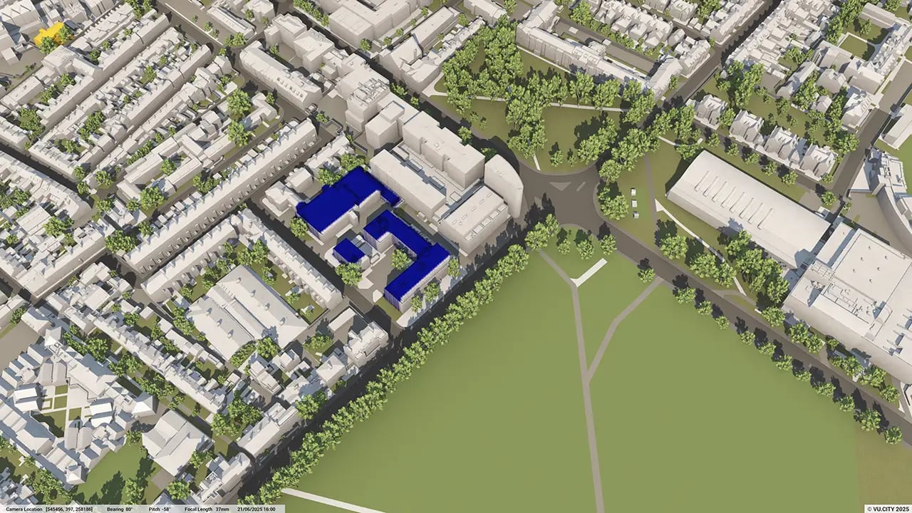
The digital platform provides a deep understanding of the historic environment and how a design or proposal might affect it, made all the easier by being able to highlight and bring to the front of mind buildings of key significance, such as the colleges, and fully consider the impact of proposals.
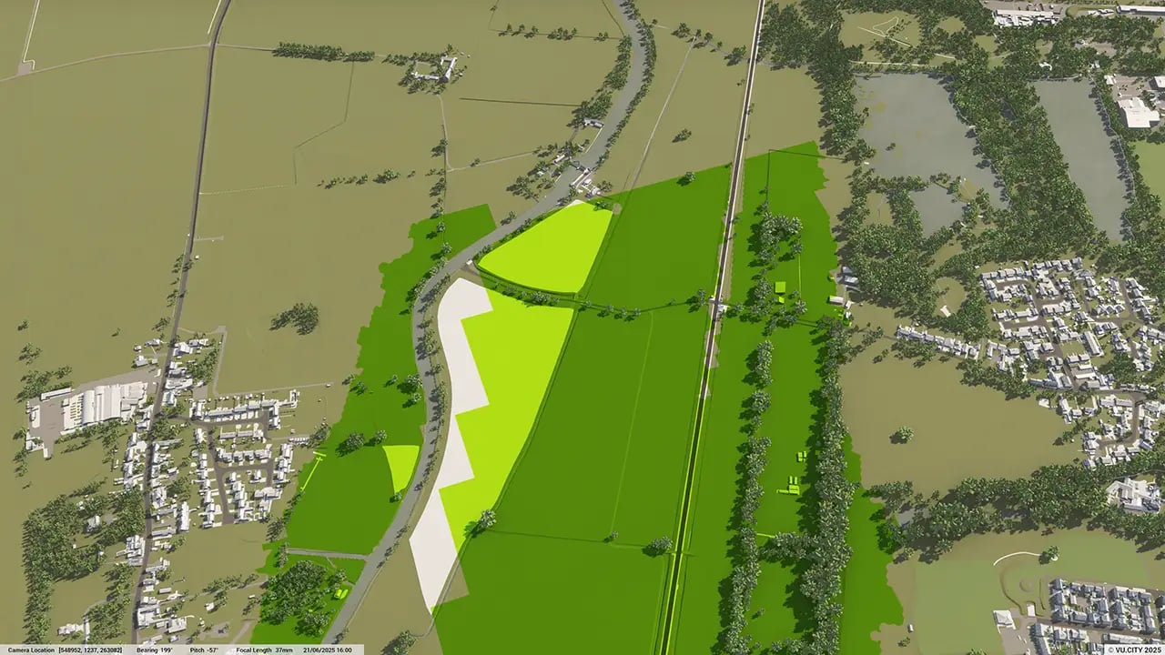
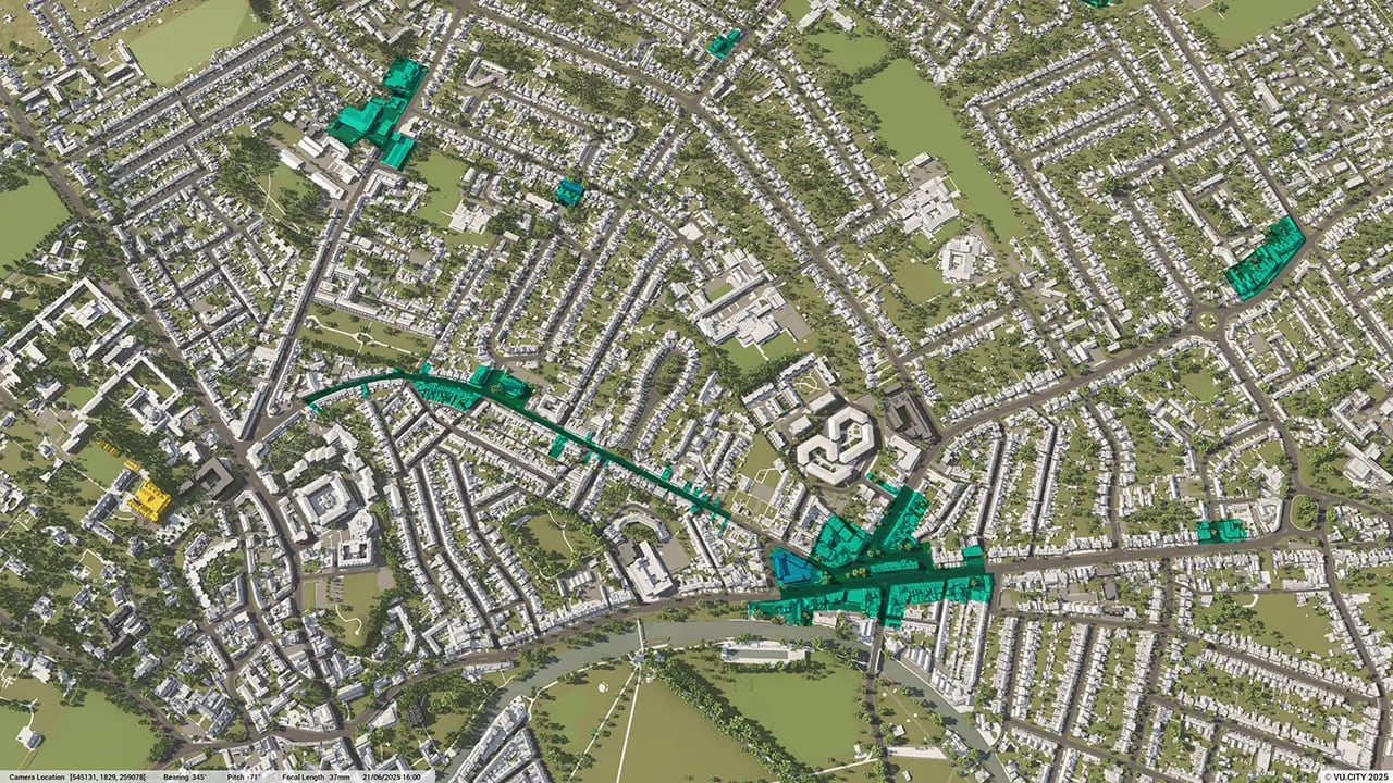
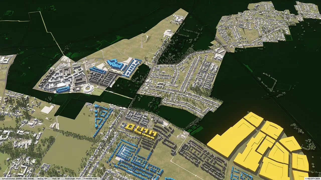
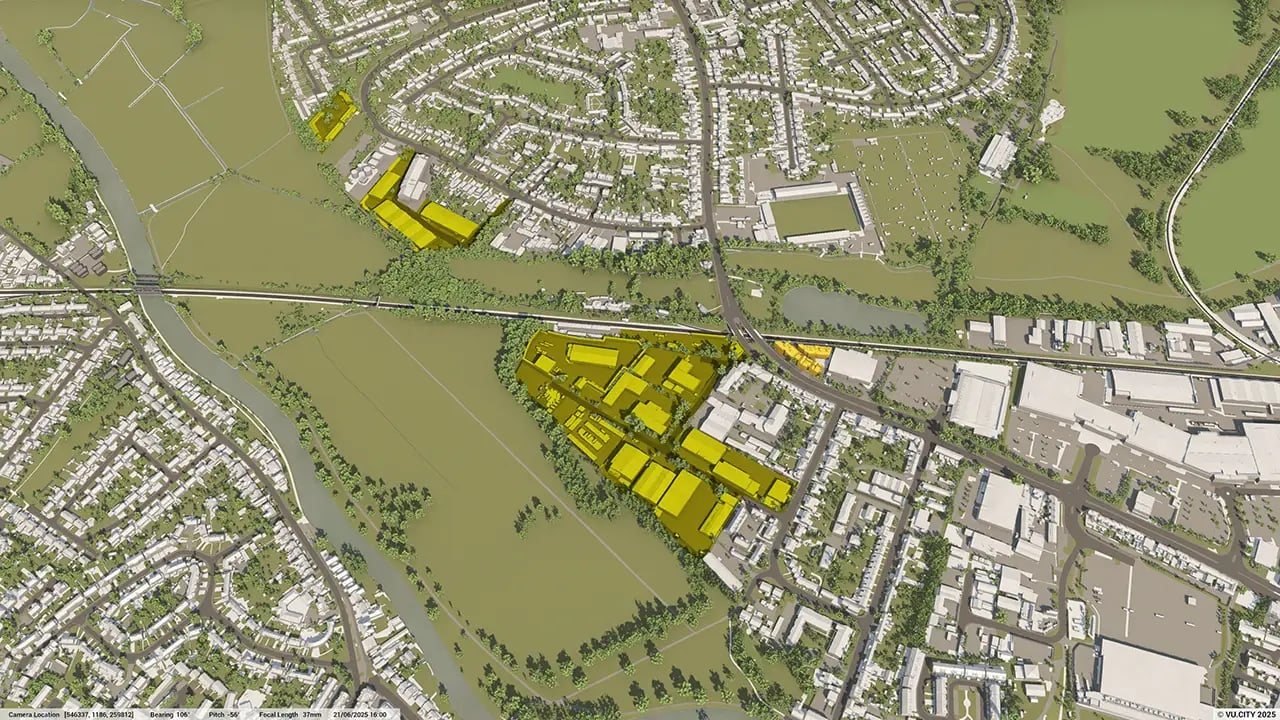
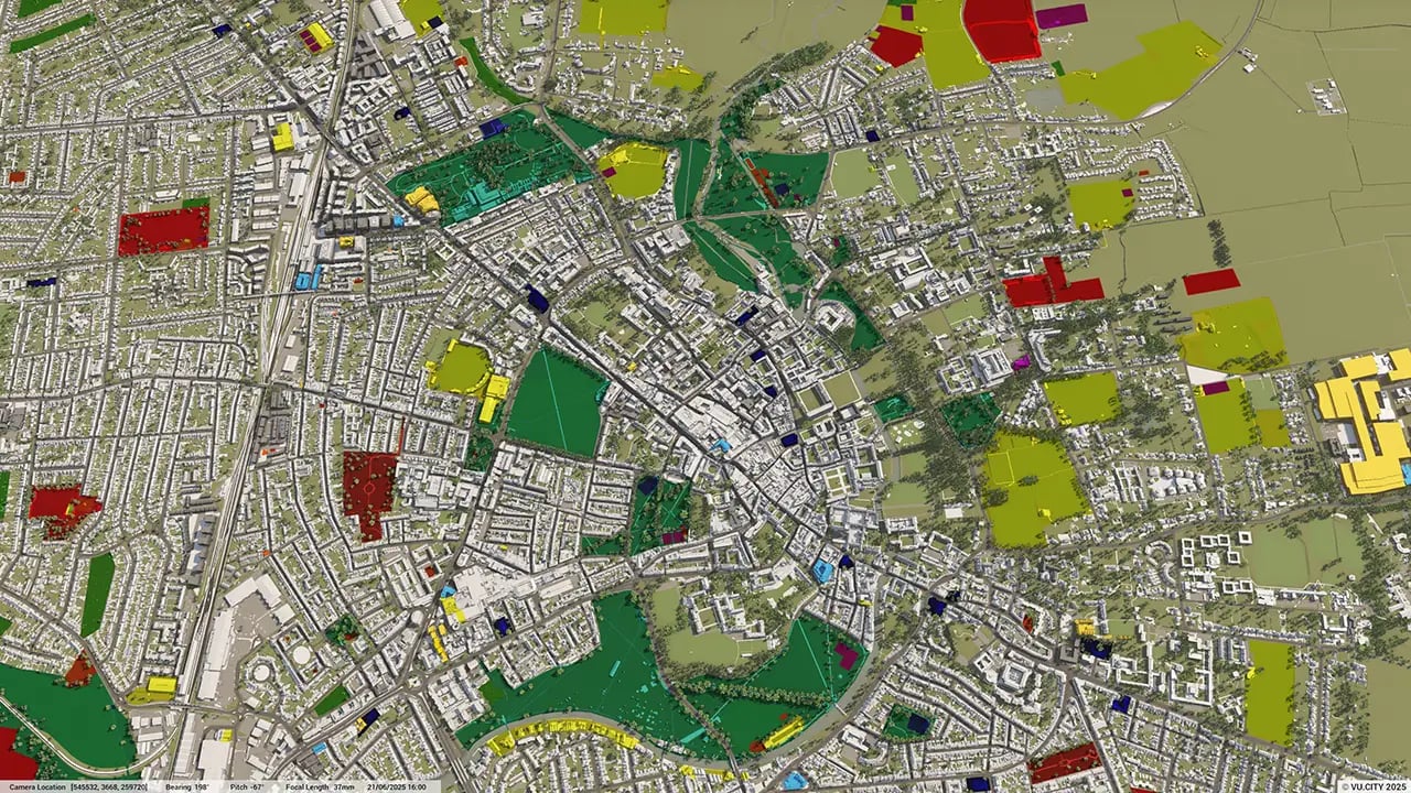
Data layers shared by the Greater Cambridge Shared Planning Authority allow for designs to take into account key aspects of current policy, and ensure that areas of opportunity when designing a scheme are easily identified.
VU.CITY Cambridge users include Greater Cambridge Shared Planning, Turley, Formation Architects, Allies & Morrison and Hawkins\Brown, who have already discovered the model’s many benefits, from being able to instantly understand and assess a site’s challenges and potential, test and experience design in situ, to improving how everyone involved collaborates.
Trusted by 6,000+ users across 26 cities
Architects, developers, local authorities, urban planners, and more trust VU.CITY to help achieve their goals.
Organise and visualise your geospatial data in accurate context with our comprehensive suite of digital design and development tools.
VU.CITY Cambridge: 3D Model Features and Planning Tools


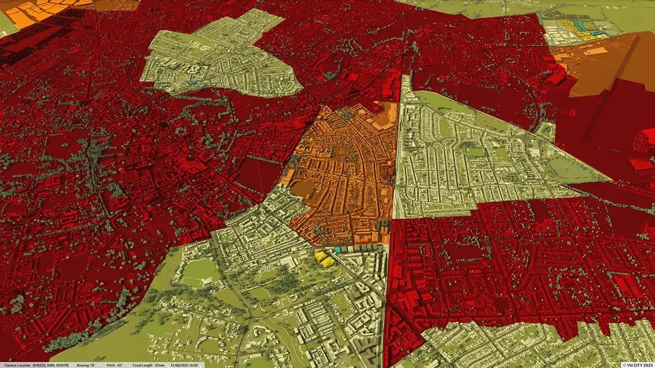
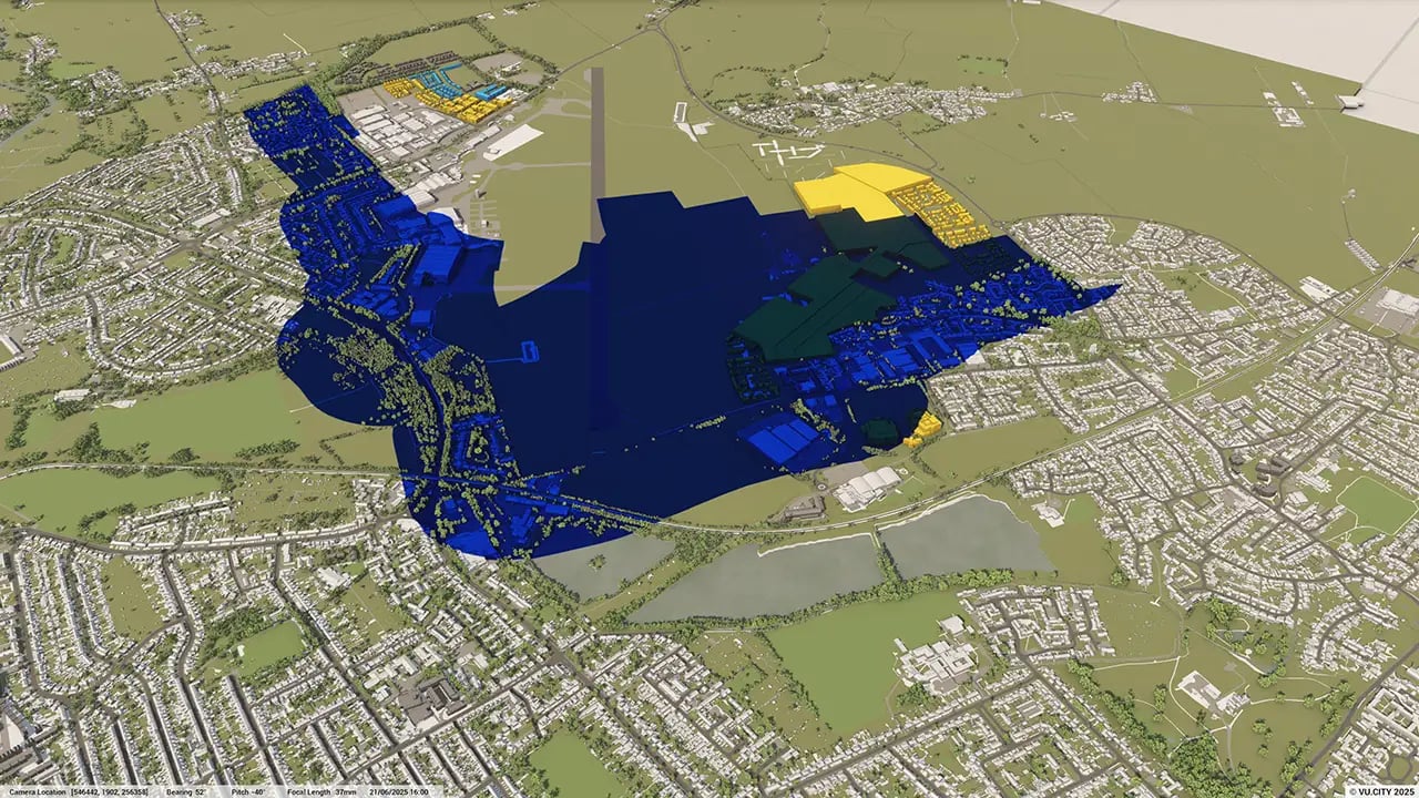
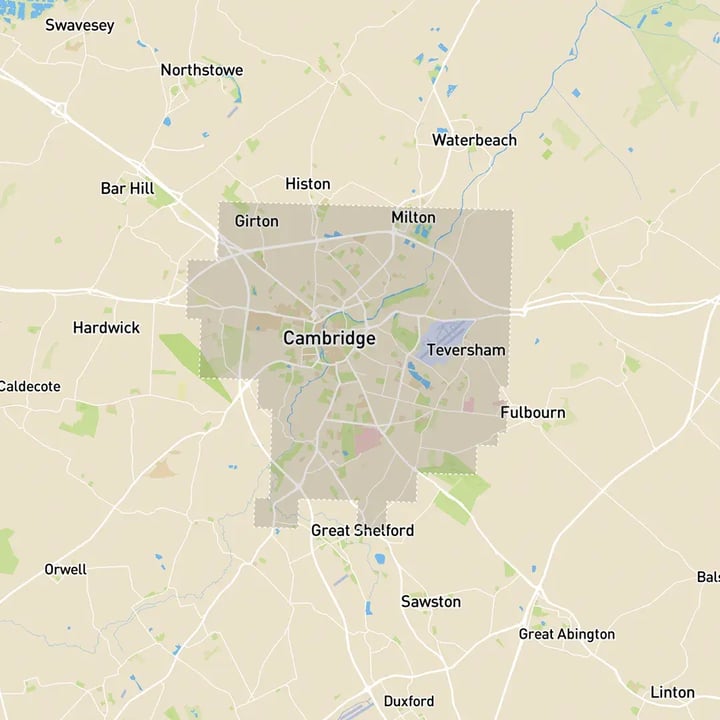
Cambridge 3D tile coverage
Whether you’re focusing on a single neighbourhood or the entire cityscape, VU.CITY provides full coverage with unmatched precision.
VU.CITY Cambridge FAQs
Here are some frequently asked questions about VU.CITY's Cambridge 3D Digital Twin and Model.
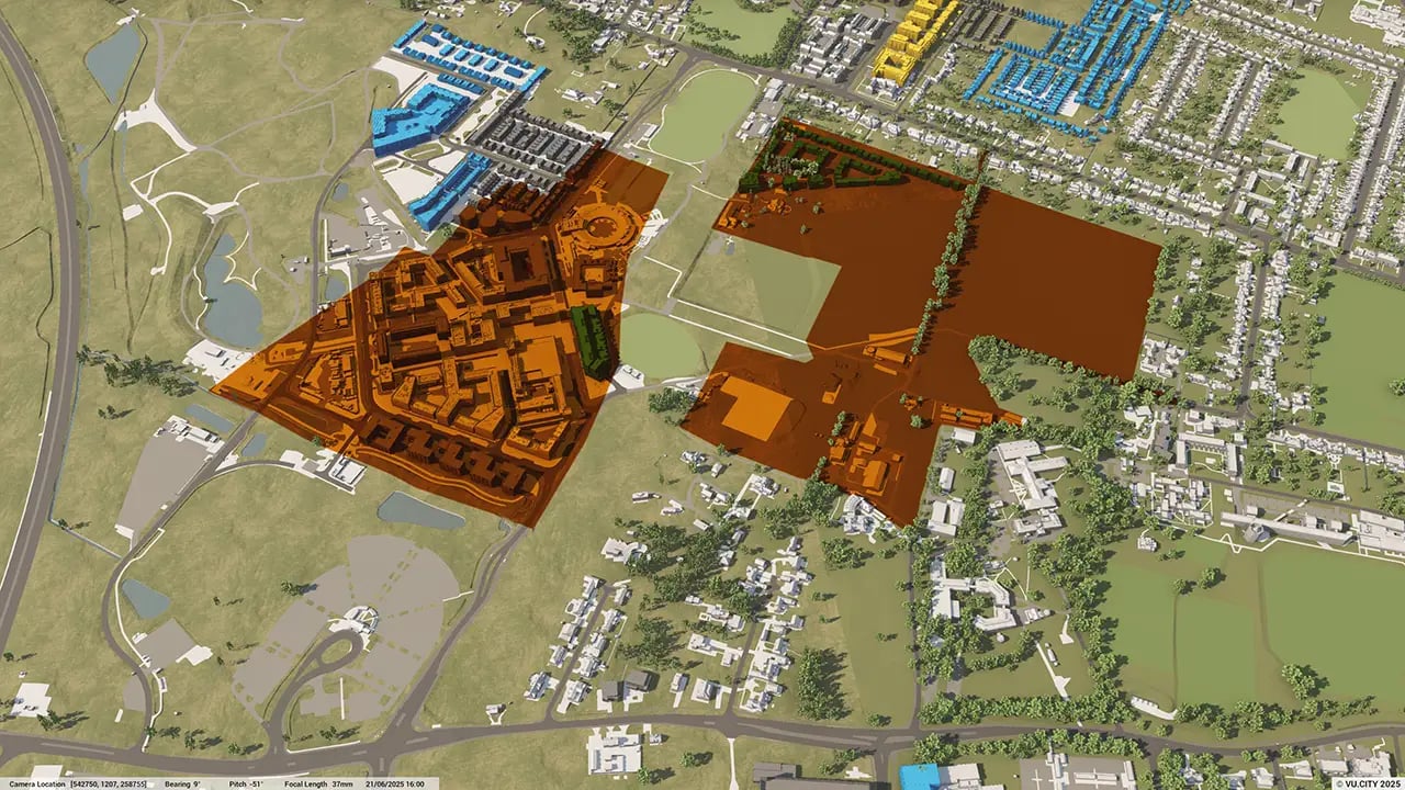
How can the VU.CITY Cambridge model support planning in areas with historic and academic landmarks?
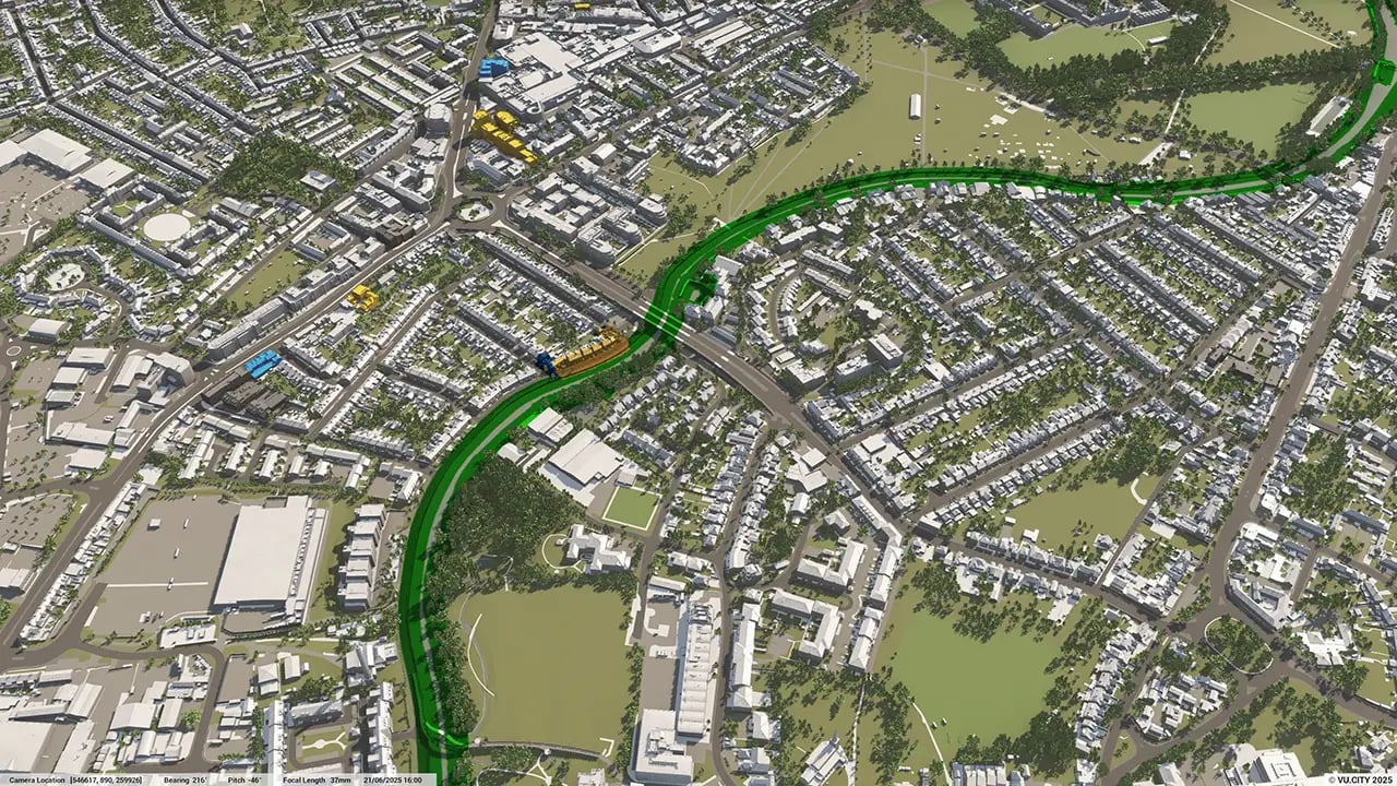
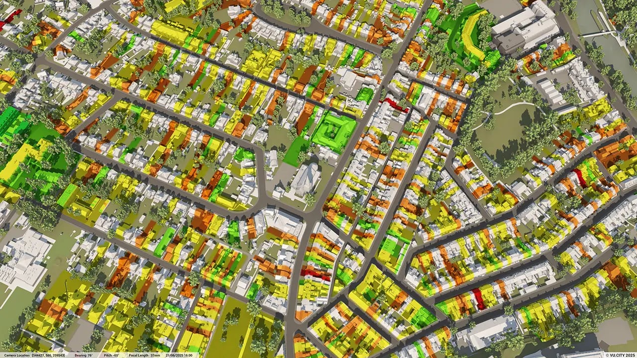
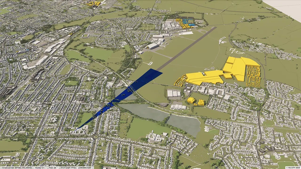
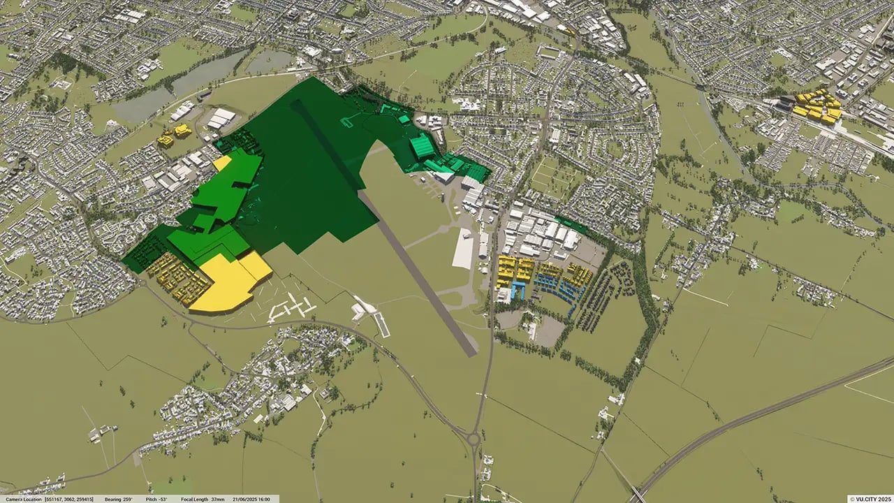
The model provides tools for view impact analysis and sunlight studies, allowing users to assess how new developments interact with Cambridge’s iconic landmarks, such as the university colleges and historic sites. This helps ensure that new projects respect the city’s unique heritage.
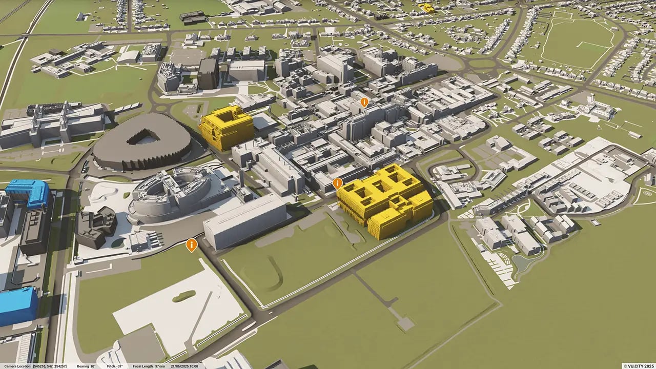
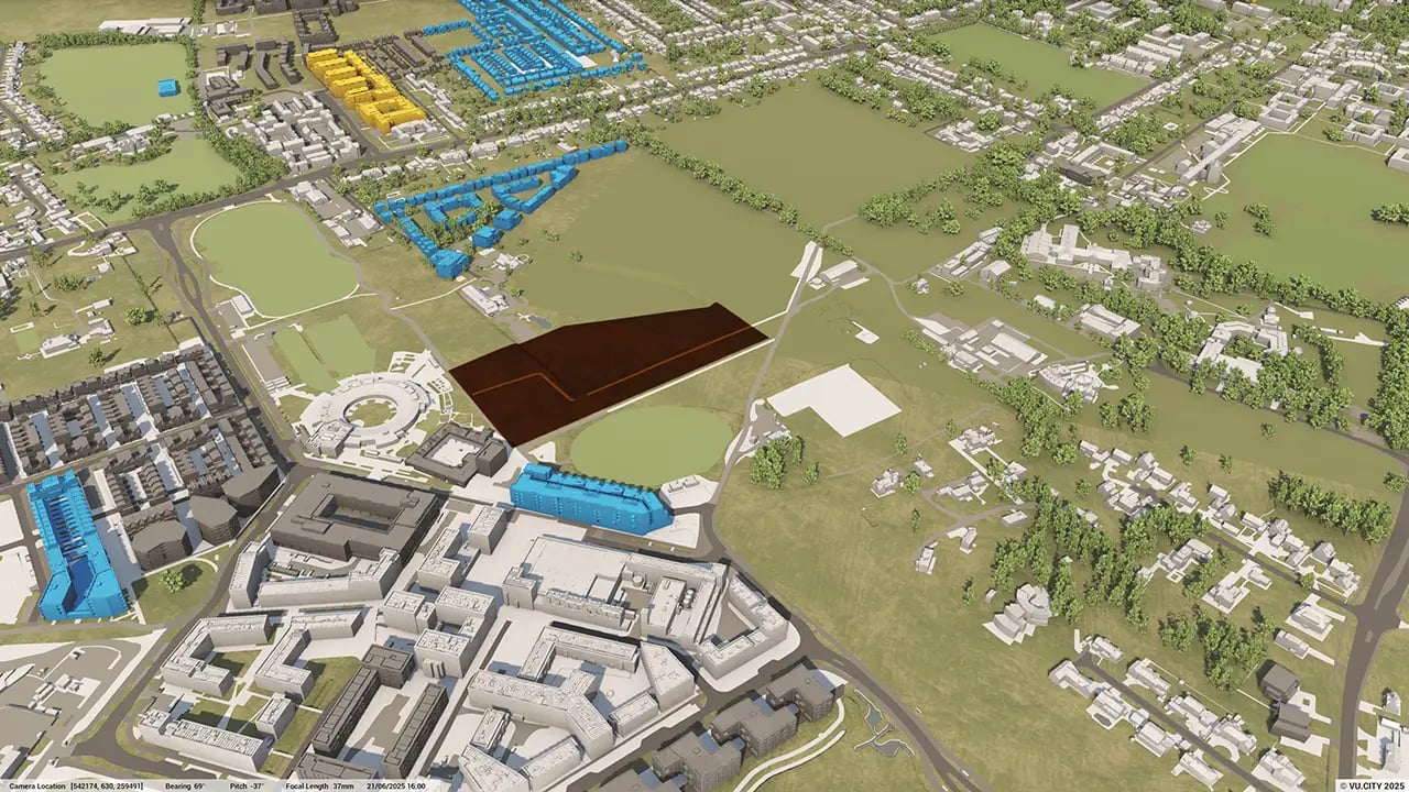
Can the Cambridge model help with testing different design and massing options?
Yes, the VU.CITY Cambridge model enables users to explore various massing scenarios and design options. This allows architects and planners to refine their projects early on, ensuring compatibility with Cambridge’s distinctive skyline and architectural character.
How does the VU.CITY Cambridge model improve communication with stakeholders and the community?
With features like the Camera Tool and its realistic camera views, the model allows users to create visual presentations of proposed developments. This supports clear communication with stakeholders and community members, helping build understanding and gather valuable feedback.
What environmental and regulatory data layers are available in the Cambridge model?
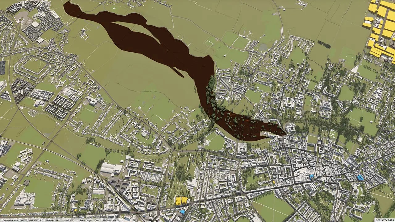
The model includes data layers for sunlight analysis, flood zones, conservation areas, and greenbelt boundaries, supporting environmentally responsible planning that aligns with Cambridge’s regulations and sustainability priorities.
Who benefits from using the VU.CITY Cambridge model?
Architects, developers, planners, and local authorities all benefit from the model. It supports collaborative planning, helps streamline project development, and ensures that new builds align with Cambridge’s strategic vision for growth while respecting its historic and academic significance.
Explore digital 3D geospatial solutions for the built environment
VU.CITY provides clear, powerful tools for key decision-makers across the built environment, helping them visualise and shape the future of cities with confidence and precision.
Make smarter decisions with data-driven insights, from infrastructure to sustainability.
Unlock the power of Generative AI for optimal design and streamlined decision-making.
Bring your designs to 3D life with state-of-the-art modelling tools.
Collaborate seamlessly across studies, planning, and design.
Utilise advanced 3D models and a data-driven approach with our flexible ZTV service.
Bring Your Vision to Life with a 3D Flythrough Video.
26 UK & International Cities
Over 3,000+ sq km accurate to 15cm | Tools to scope, create & collaborate on designs
Shape Tomorrow’s Cities, Today.
Begin Your Free Trial Now.
- 1
- 2
- 3

