
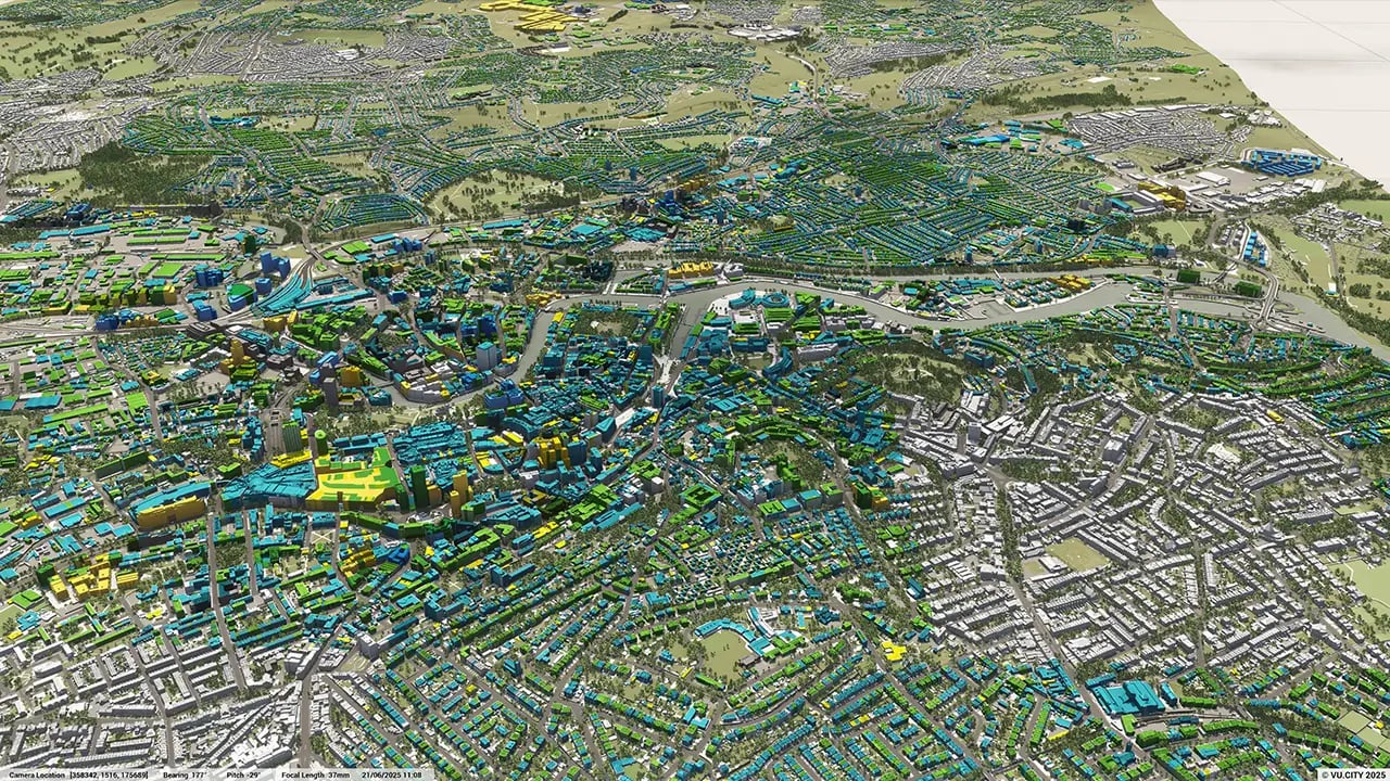
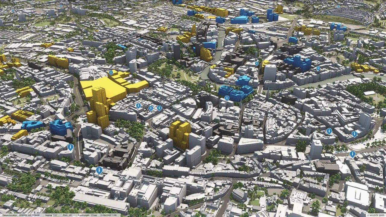
Bristol 3D Model
VU.CITY Bristol saves time and money for professionals involved in the design, planning and development of the built environment.
Our accurate and interactive 3D digital twin model of Bristol is enriched with data and tools to help you collaborate and analyse the real world impact of proposals, allowing you to make better design, and planning decisions, faster.
-
45DATA LAYERS
-
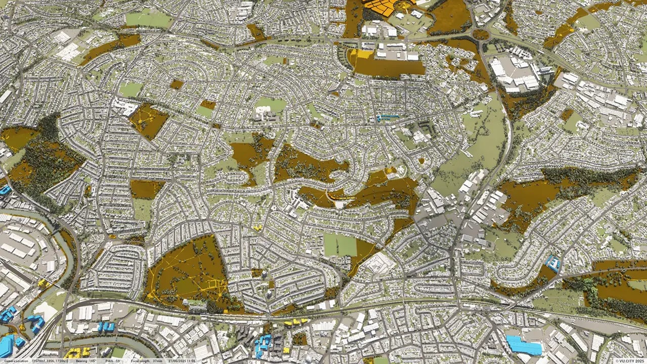
130.38 sq kmMODELLED TO 15CM ACCURACY
-
232Consents approved VU.CITY
-
654,220TREES, ACCURATE HEIGHT AND CANOPY

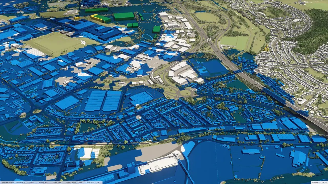
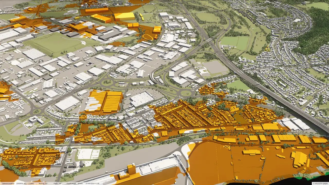
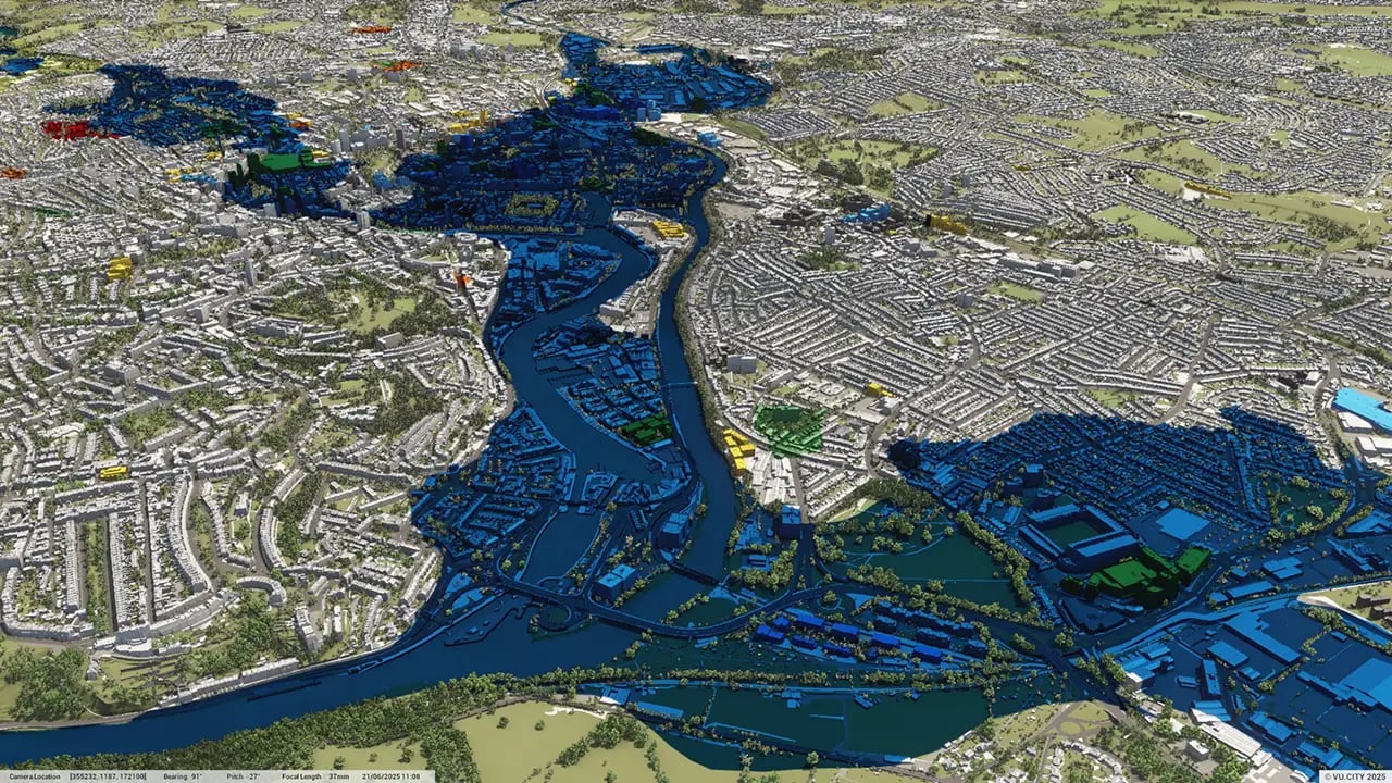
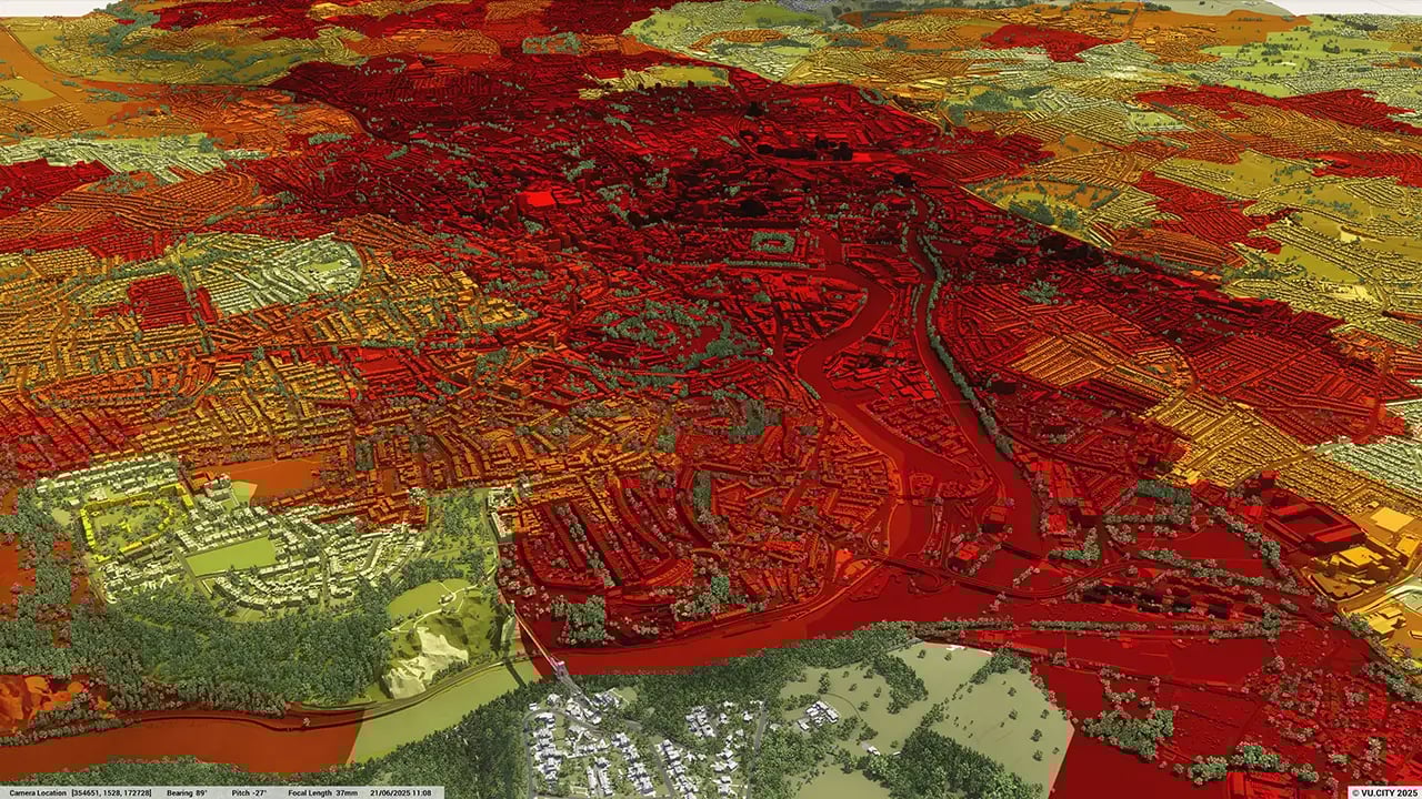
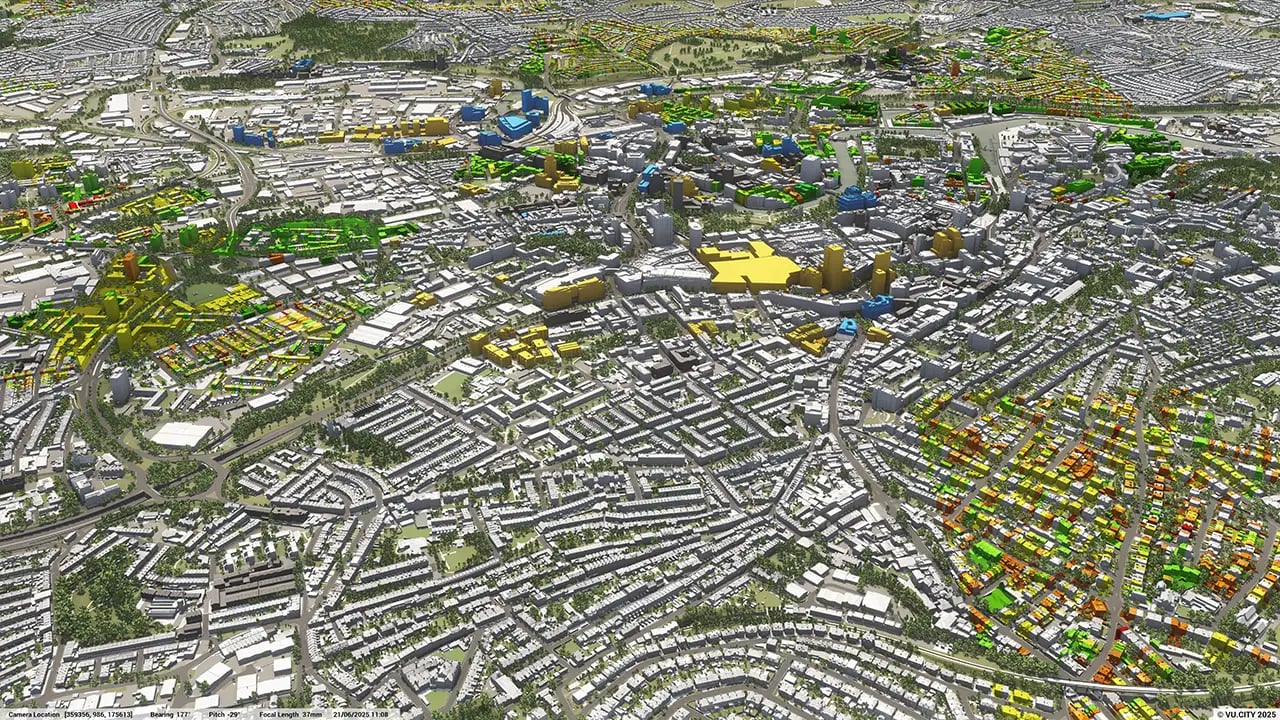
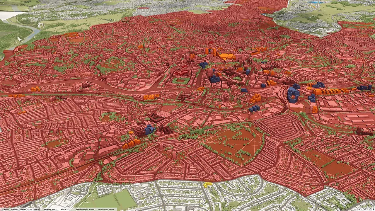
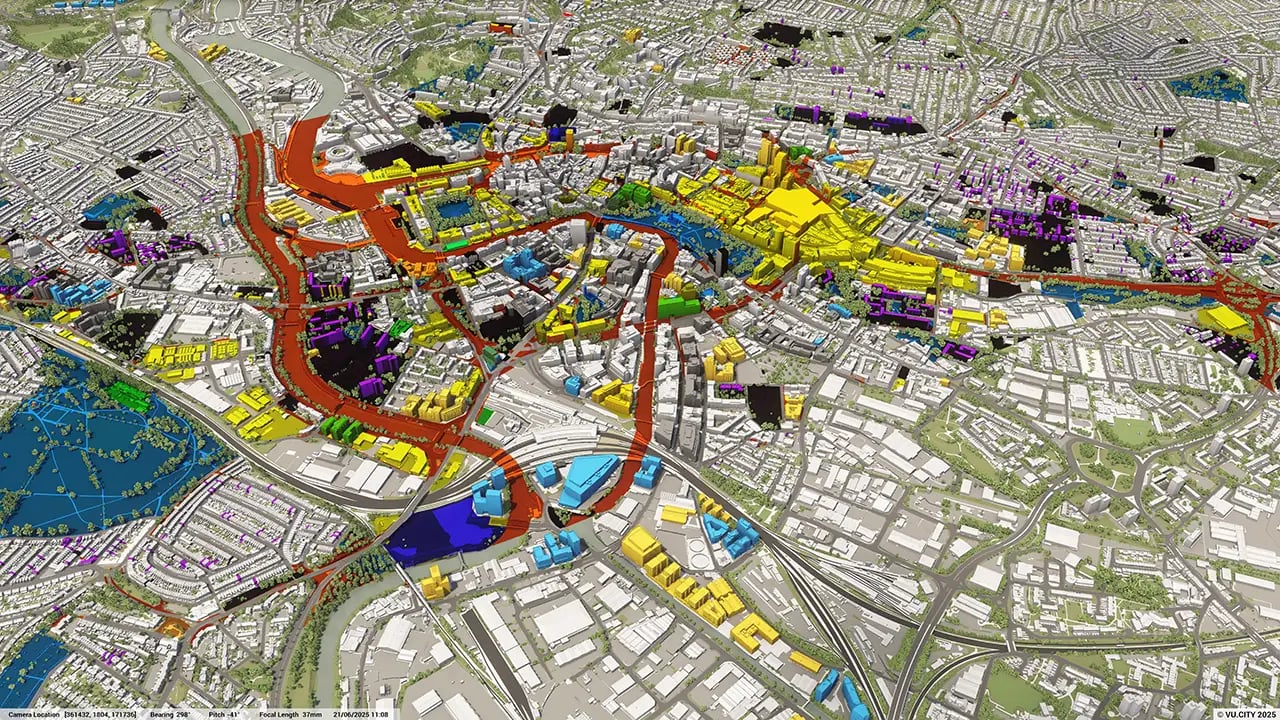
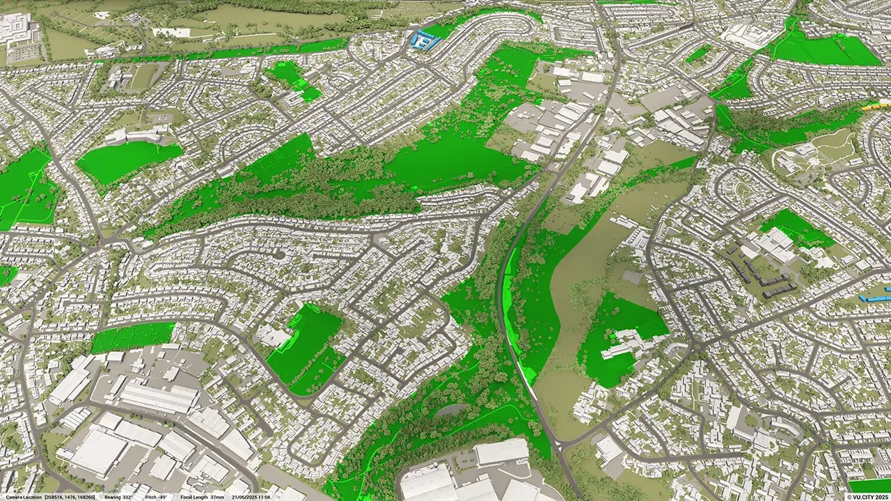
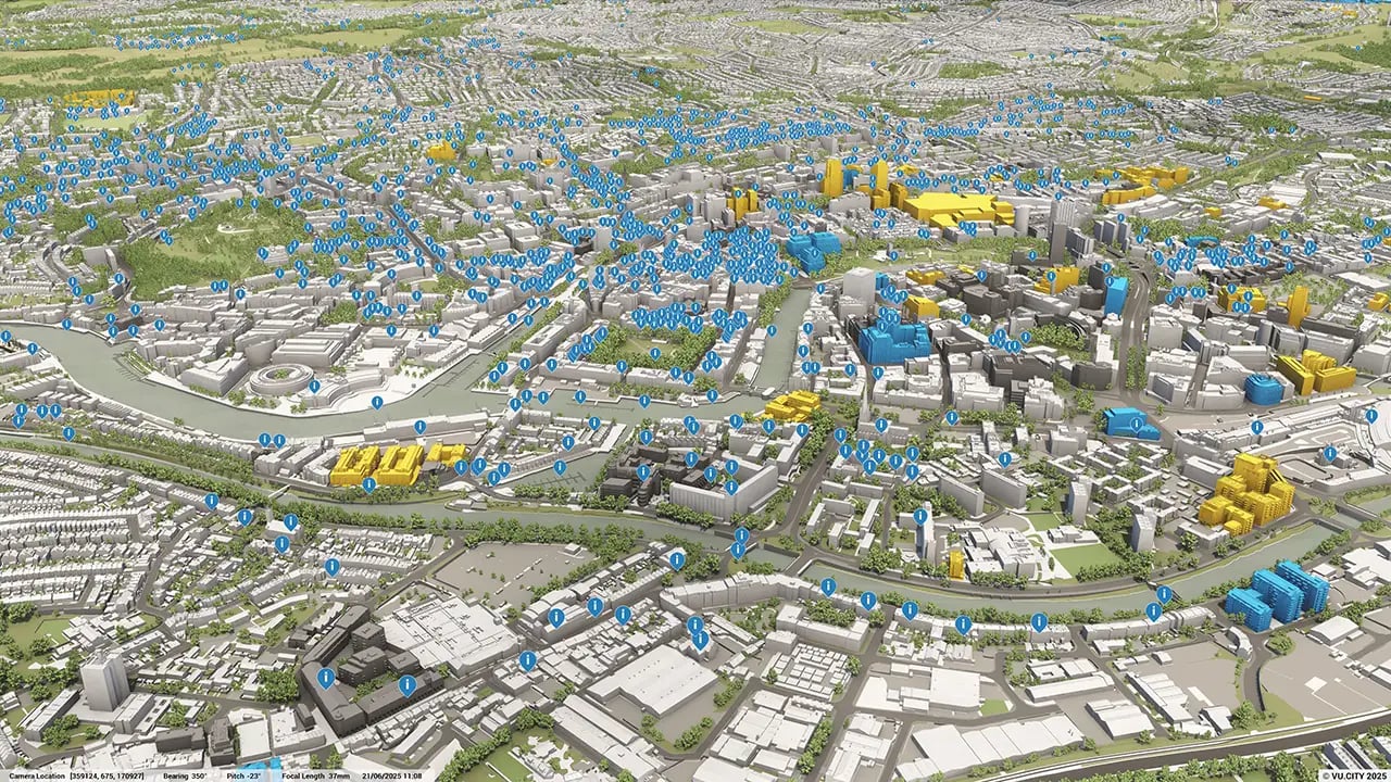
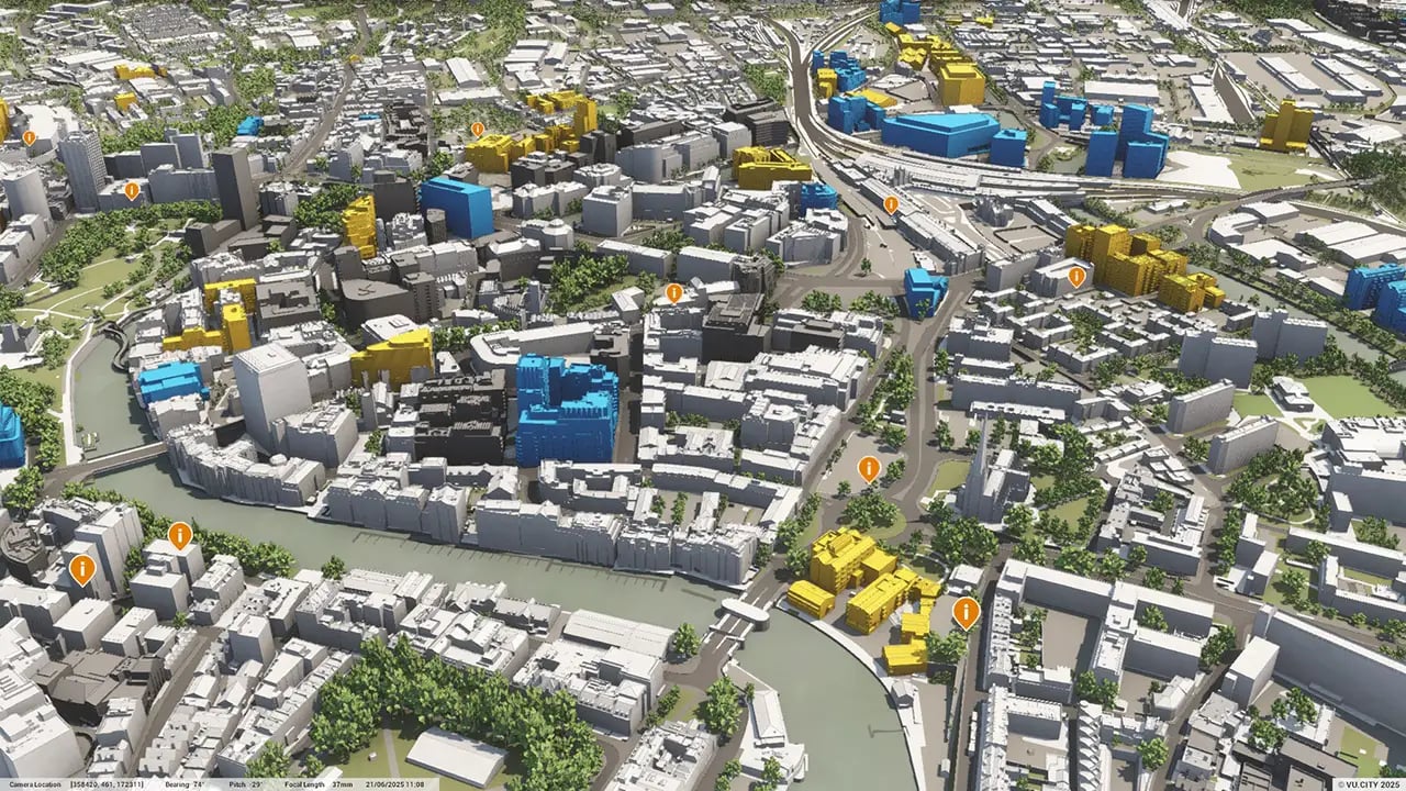
Bristol data layers
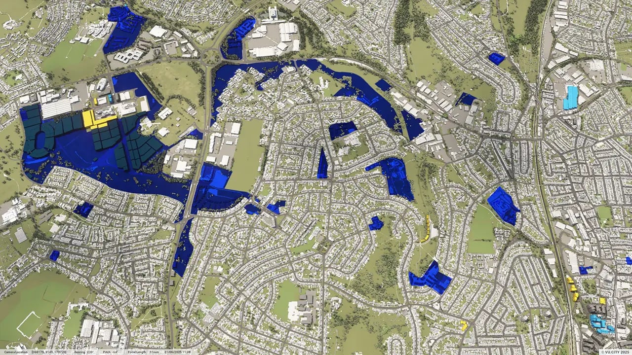
From transportation and zoning to environmental factors, VU.CITY Bristol 3D model data layers provide essential insights that ultimately lead to better decisions on the future of development in the city.
.webp?width=1280&height=720&name=vucity-bristol-data-1_education%20establishments(1).webp)
.webp?width=1280&height=720&name=vucity-bristol-data-6_census-%20deprivation%20index(1).webp)
.webp?width=1280&height=720&name=vucity-bristol-data-25_noise%20pollution-%20road(1).webp)
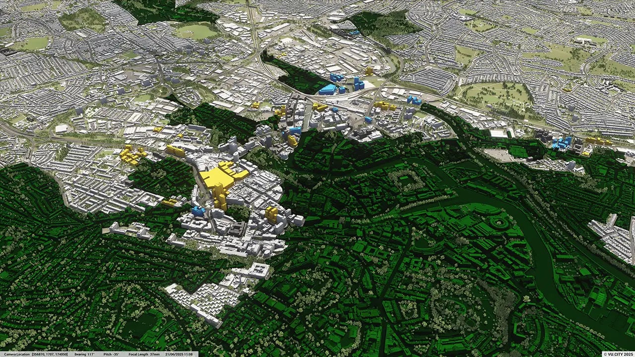

Bristol is one of the UK’s most environmentally-conscious cities.
Bristol worked closely with the Climate Advisory Committee to create their One City Plan 2021. Their housing ambition is to continue to deliver new net zero carbon homes and start retrofitting existing housing stock to meet Bristol’s climate and ecological emergencies.
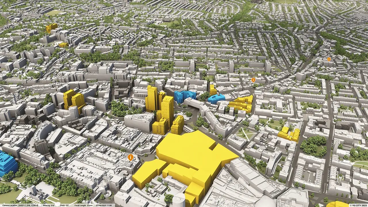
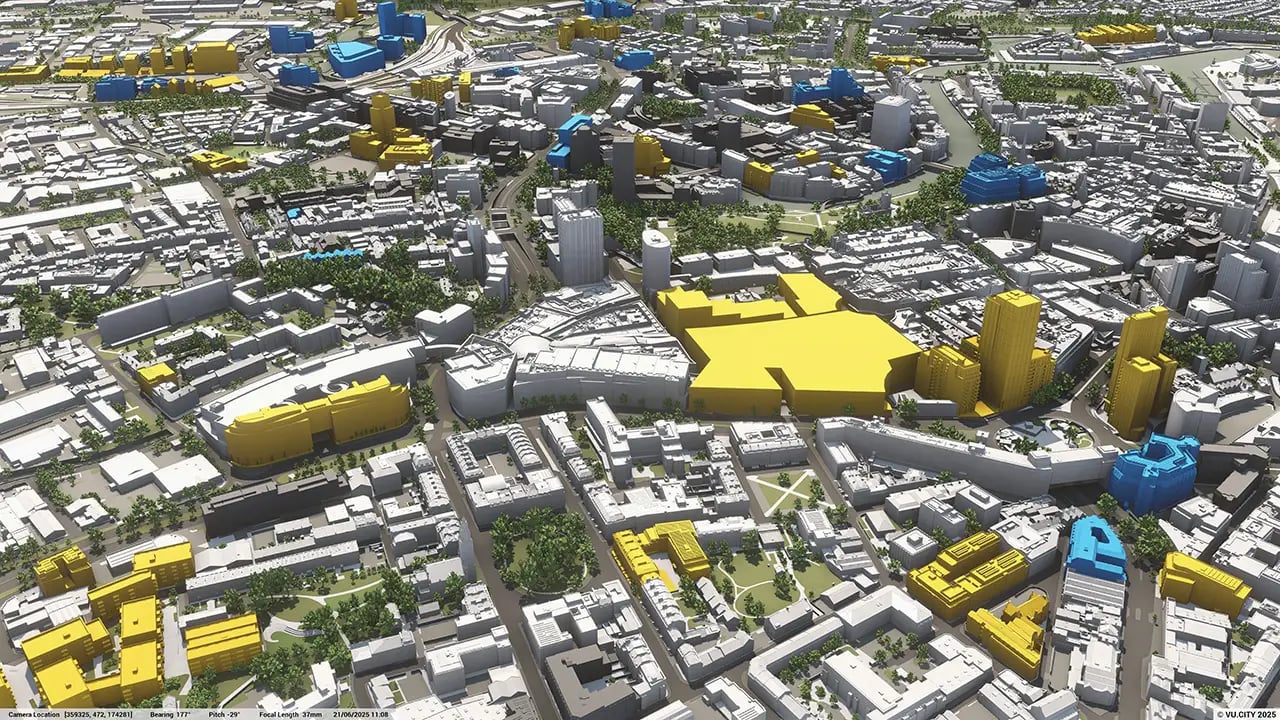
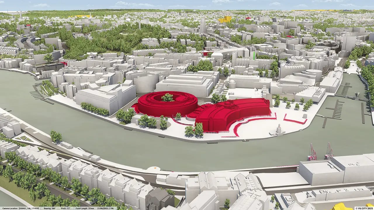
The use of VU.CITY Bristol, for example in transforming Temple Meads, has meant greater insight and improved communication and transparency throughout Bristol’s planning process.
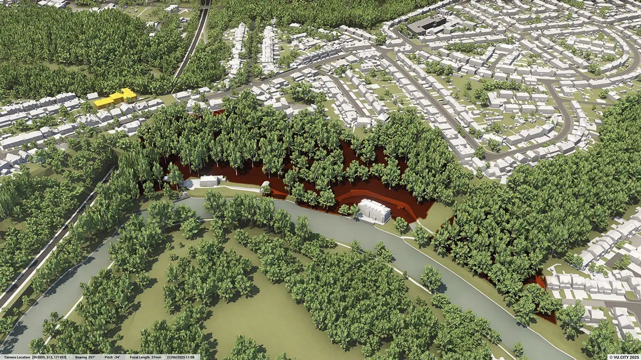
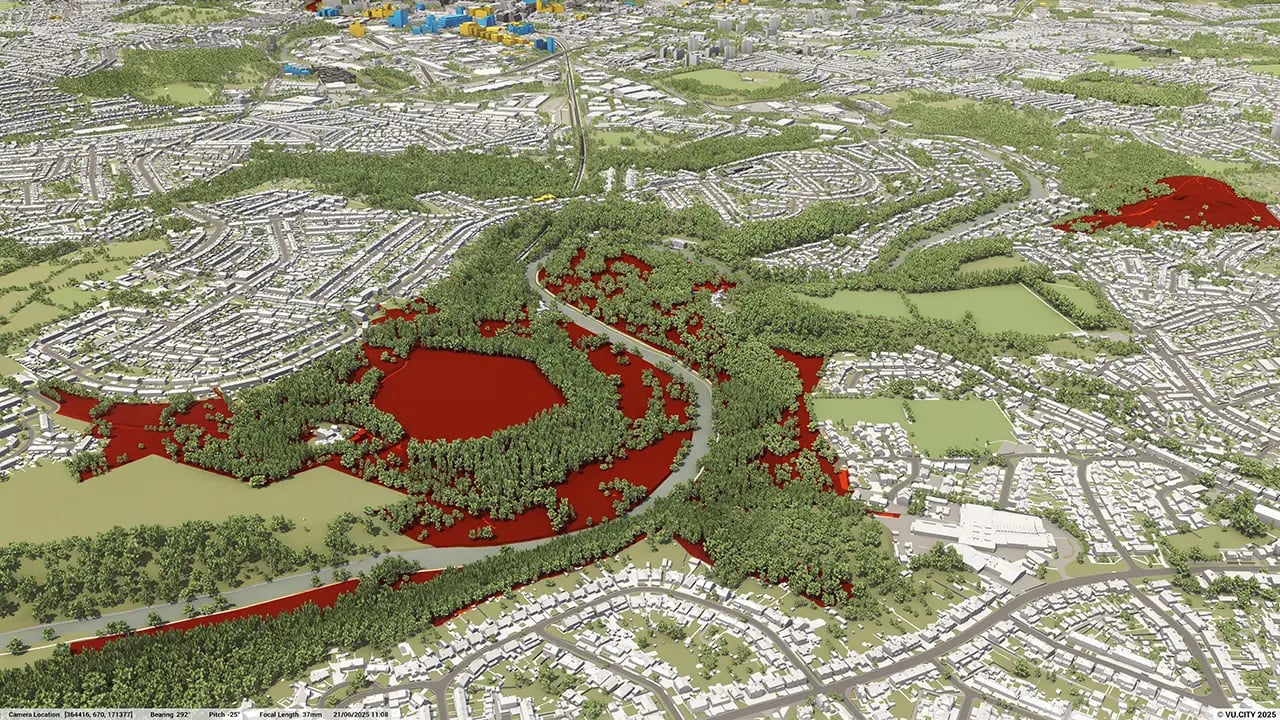
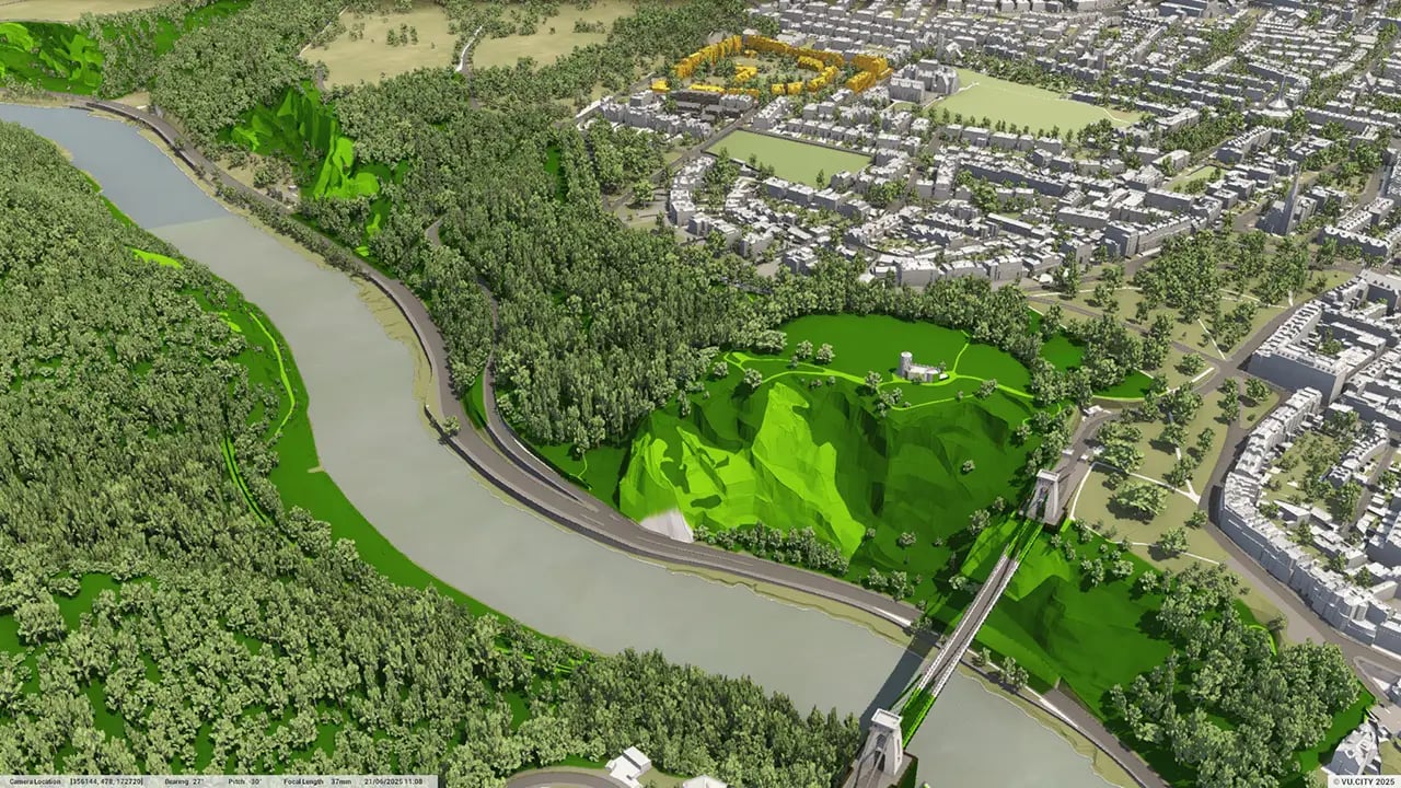
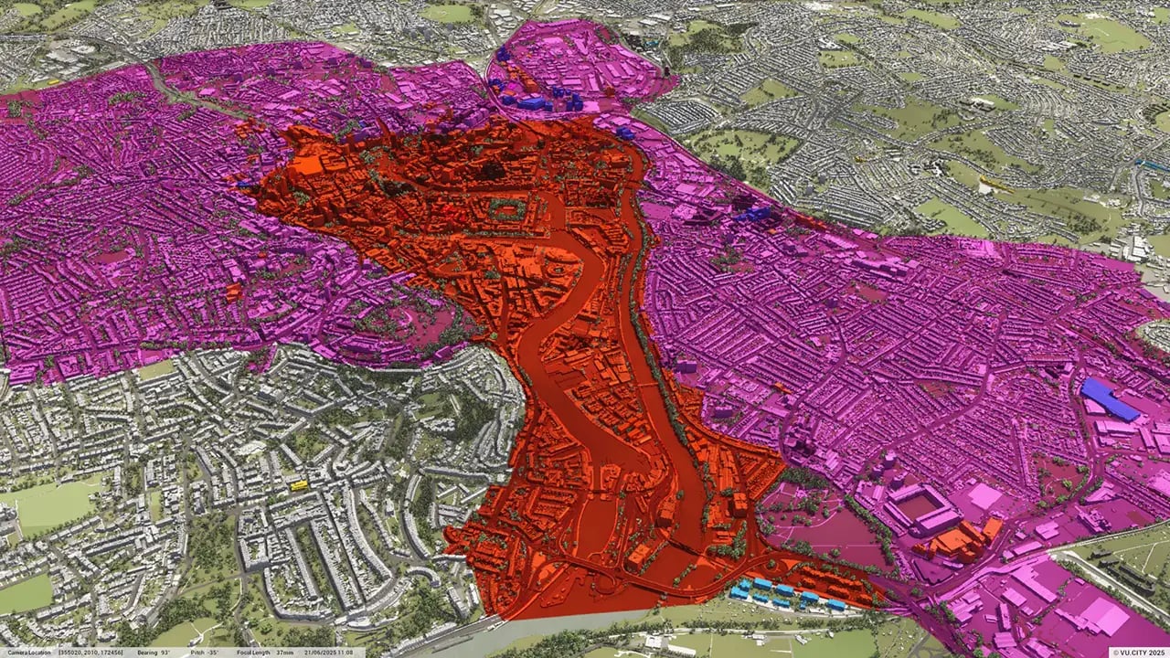
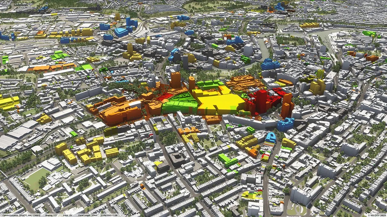
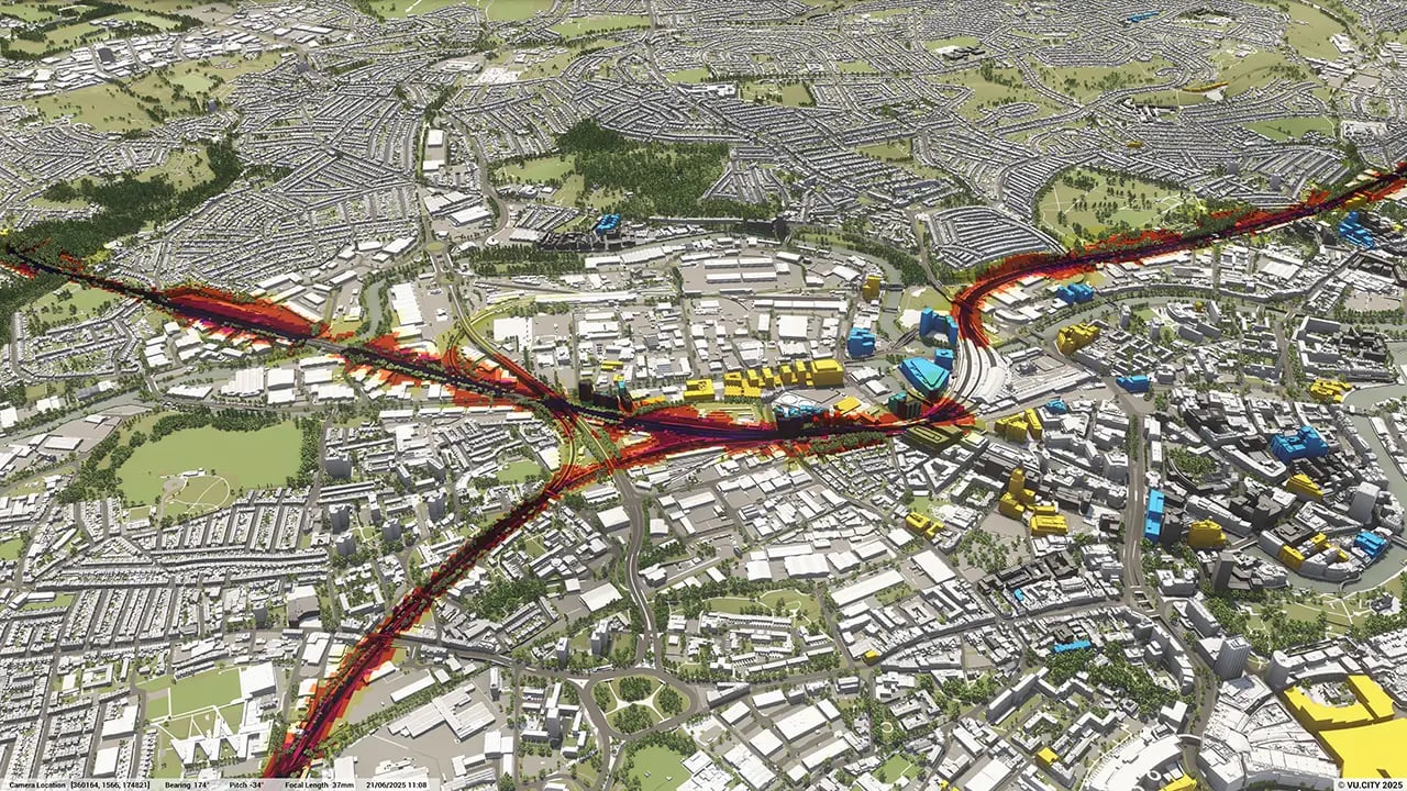
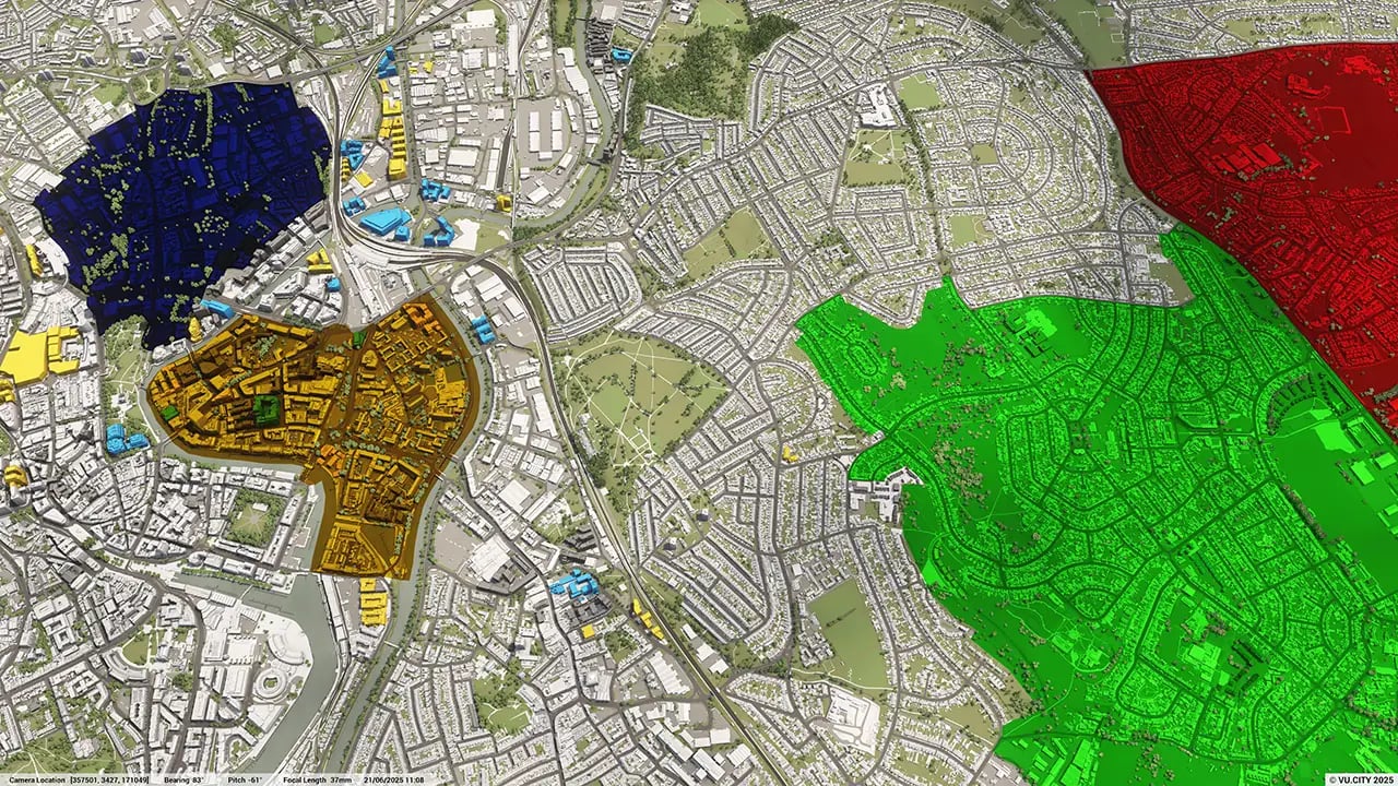
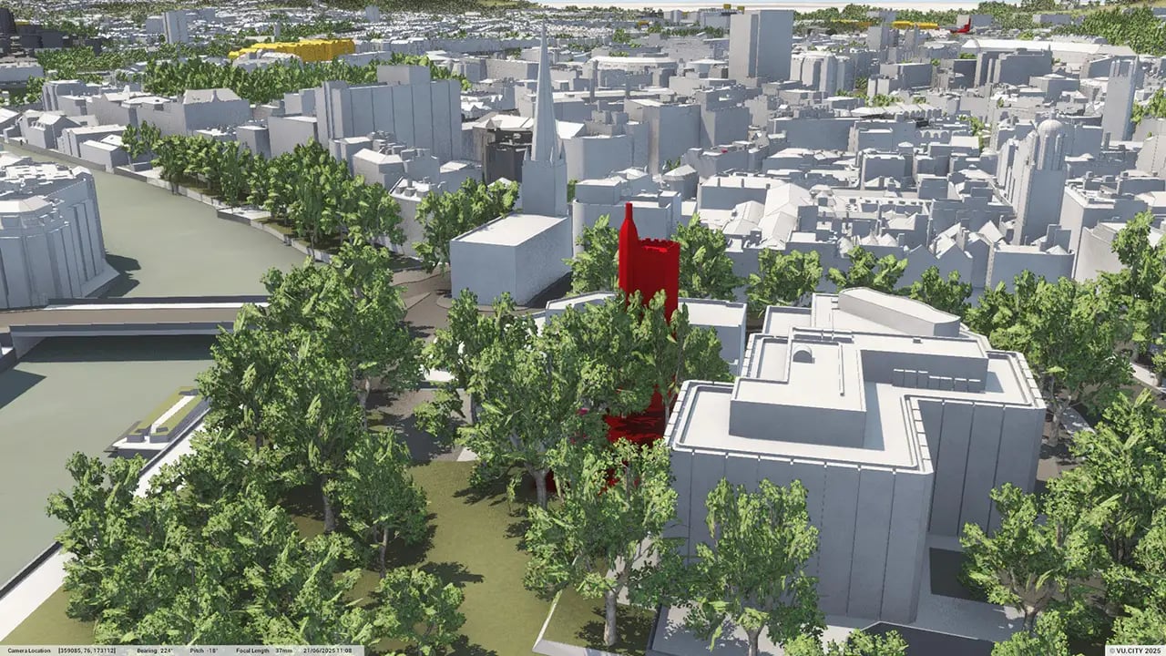
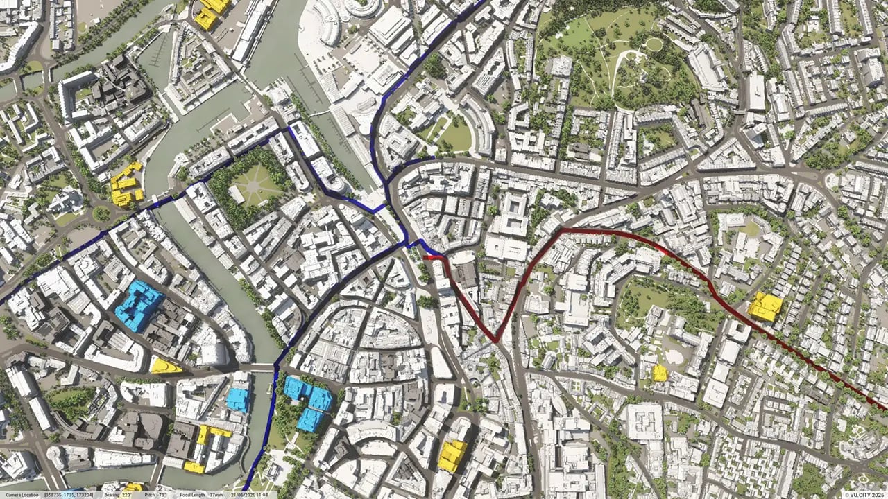
Architects working in Bristol, such as FCB Studios and Stride Treglown already know the many advantages of using VU.CITY Bristol, yet there is one major challenge that makes initial feasibility studies difficult. Bristol is built on seven hills. VU.CITY’s ZTV (Zone of Theoretical Visibility) tool is the ideal solution, helping users understand where a development can be seen from different points on the ground around the city.
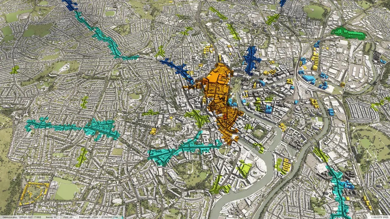
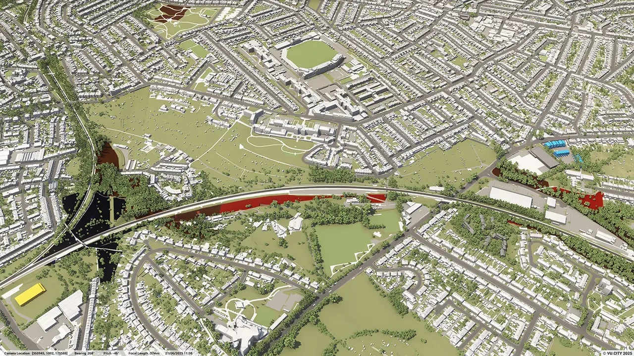
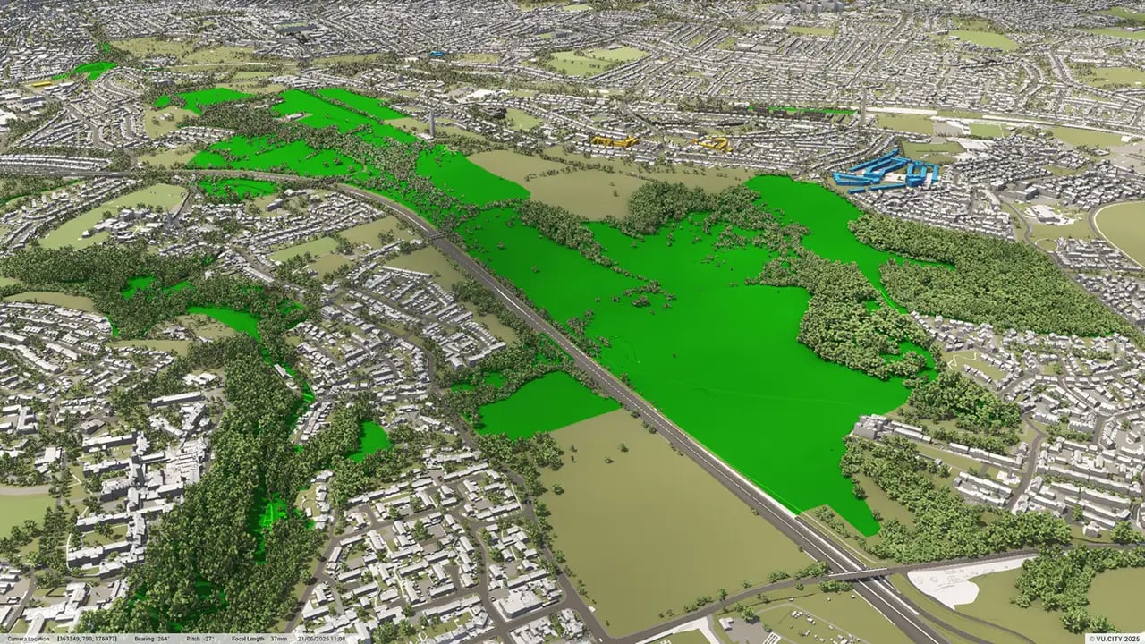
Bristol City Council has embraced VU.CITY Bristol in helping to turn their visions into reality. The council has used our data layers to help visualise clean air zones, and ZTV to conduct in-depth feasibility studies for ambitious regeneration projects such as Western Harbour, Frome Gateway, Bedminster Green, Hengrove/South Bristol and Avonmouth-Severnside Enterprise Area.
The Temple Quarter regeneration project, set to create 22,000 new jobs, has been designed with insight gained through using VU.CITY Bristol and is set to create a thriving transport hub as well as improved facilities for Bristol University.
Trusted by 6,000+ users across 26 cities
Architects, developers, local authorities, urban planners, and more trust VU.CITY to help achieve their goals.
Organise and visualise your geospatial data in accurate context with our comprehensive suite of digital design and development tools.
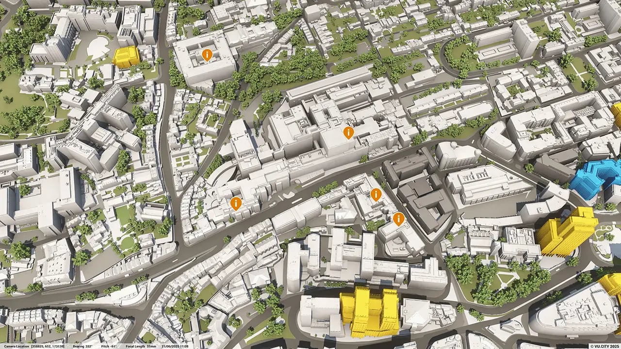
VU.CITY Bristol: 3D Model Features and Planning Tools


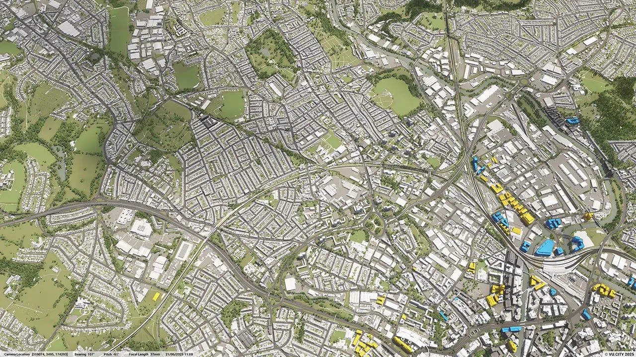
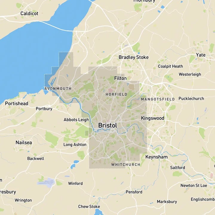
Bristol 3D tile coverage
Whether you’re focusing on a single neighbourhood or the entire cityscape, VU.CITY provides full coverage with unmatched precision.
VU.CITY Bristol FAQs
Here are some frequently asked questions about VU.CITY's Bristol 3D Digital Twin and Model.
What is the purpose of the VU.CITY Bristol 3D model?
The VU.CITY Bristol 3D model allows architects, planners, and developers to visualise projects within a realistic digital version of Bristol. It helps users understand site conditions, assess design impacts, and make well-informed planning decisions.
How does the Bristol 3D model support sustainable urban planning?
This model provides tools like sunlight analysis, view impact studies, and massing options to evaluate the impact of new developments. It supports sustainable planning by helping users ensure projects complement Bristol’s existing landscape and environmental priorities.
Can I bring my own designs into the VU.CITY Bristol model?
Yes, you can import your designs from software like Revit, SketchUp, and Rhino. This feature lets you see how your project integrates within Bristol’s environment, offering a realistic view of its fit and impact.
What features are included in the VU.CITY Bristol 3D model?
The model includes sunlight and shadow analysis, massing tools, a timeline of approved projects, and options for viewing sightlines. These features make it easier to assess projects, test design options, and collaborate with team members.
Who benefits from using the VU.CITY Bristol model?
Architects, developers, planners, and city officials benefit from this tool. It improves collaboration, streamlines planning, and supports informed decision-making, helping ensure that new developments align with Bristol’s long-term goals.
Explore digital 3D geospatial solutions for the built environment
VU.CITY provides clear, powerful tools for key decision-makers across the built environment, helping them visualise and shape the future of cities with confidence and precision.
Make smarter decisions with data-driven insights, from infrastructure to sustainability.
Unlock the power of Generative AI for optimal design and streamlined decision-making.
Bring your designs to 3D life with state-of-the-art modelling tools.
Collaborate seamlessly across studies, planning, and design.
Utilise advanced 3D models and a data-driven approach with our flexible ZTV service.
Bring Your Vision to Life with a 3D Flythrough Video.
26 UK & International Cities
Over 3,000+ sq km accurate to 15cm | Tools to scope, create & collaborate on designs
Shape Tomorrow’s Cities, Today.
Begin Your Free Trial Now.
- 1
- 2
- 3

