
Belfast 3D Model
Minimise project risks with our Belfast 3D Model.
Leverage location intelligence and rich geospatial data to assess site potential, identify constraints, and reduce risk across the project lifecycle.
VU.CITY 3D model of Belfast empowers architects, engineers, consultants, and decision-makers with an accurate, intuitive platform for collaboration, insight, and faster progress—citywide.
-
39DATA LAYERS
-
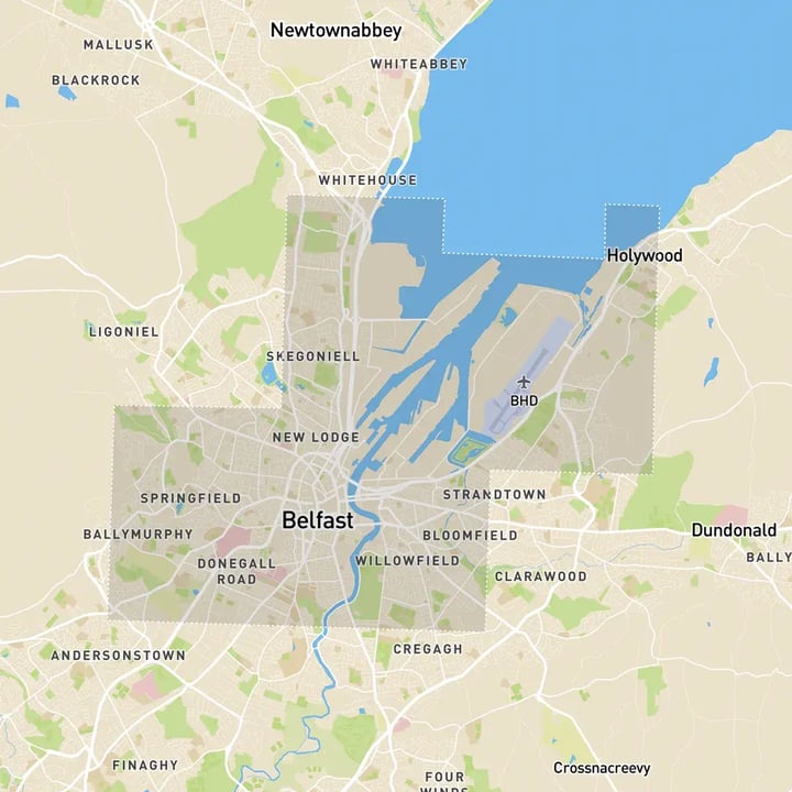
57.39 sq kmMODELLED TO 15CM ACCURACY
-
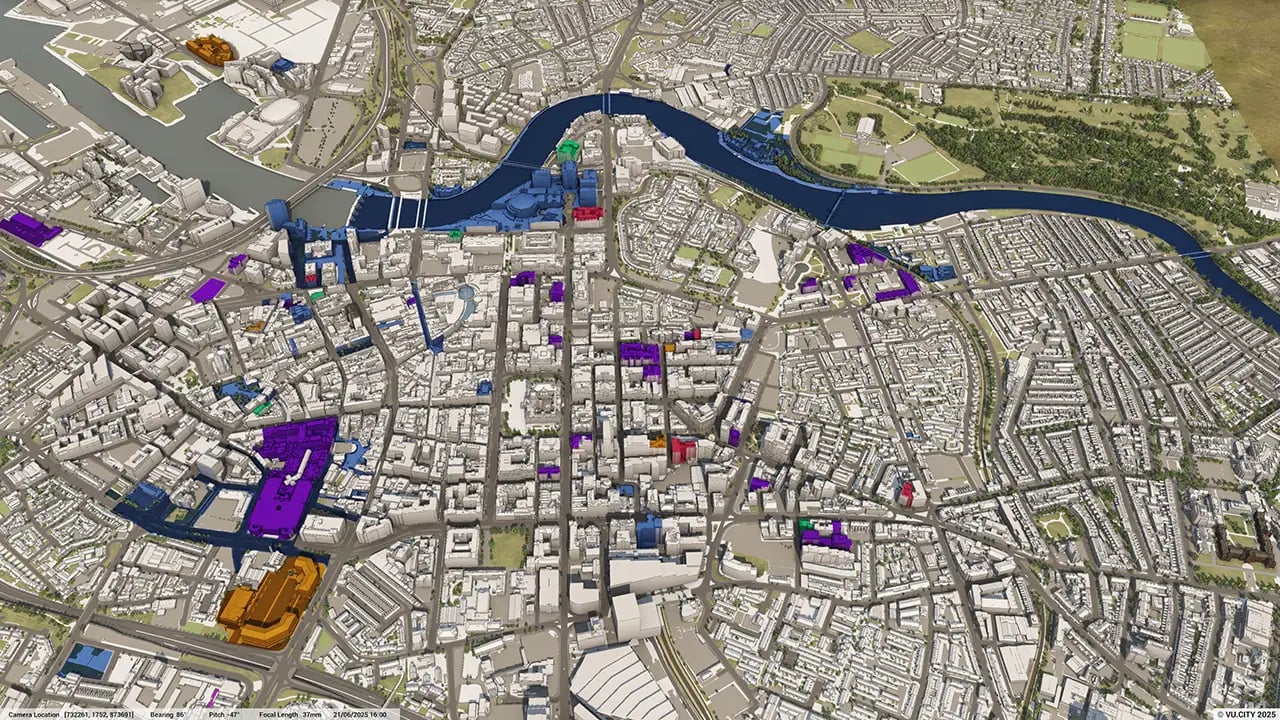
134Consents approved VU.CITY
-
262,835TREES, ACCURATE HEIGHT AND CANOPY

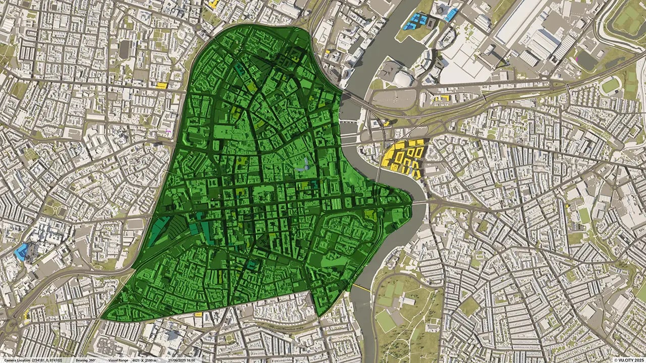
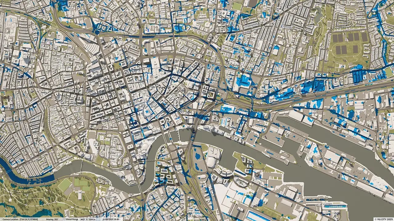
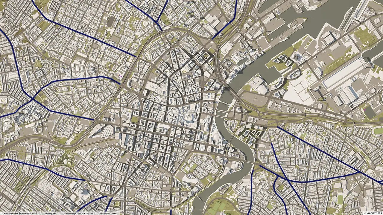
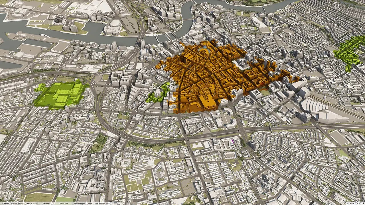
Belfast data layers
From transportation and zoning to environmental factors, VU.CITY Belfast 3D model data layers provide essential insights for more informed and confident decision-making.
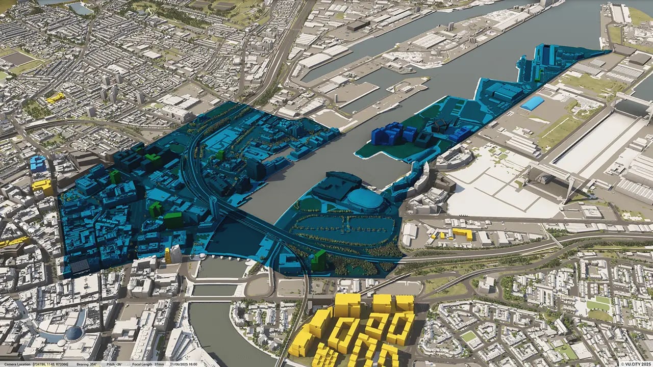


With cranes dotted across the city and buildings going up at breakneck speed, Belfast is a city with an ever-changing landscape.
Belfast has become an incredibly attractive city to invest in and is ranked as one of the top cities to live, work and play in and VU.CITY is proud to be heavily involved in Belfast's innovative activities.
Frameworks such as Belfast City Council’s ‘Smart Belfast’: the catalyst for sweeping change as developers look to redevelop key areas such as Weavers Cross, Titanic Quarter, Belfast Harbour, Giants Park, Gasworks, Tribeca, with social housing high on the housing executive agenda.
VU.CITY Belfast is playing a crucial role in the regeneration of Northern Ireland’s capital, with rich data to help inform the best design and planning decisions – including Listed Building Information, Conservation Areas, and the Local Development Plan.
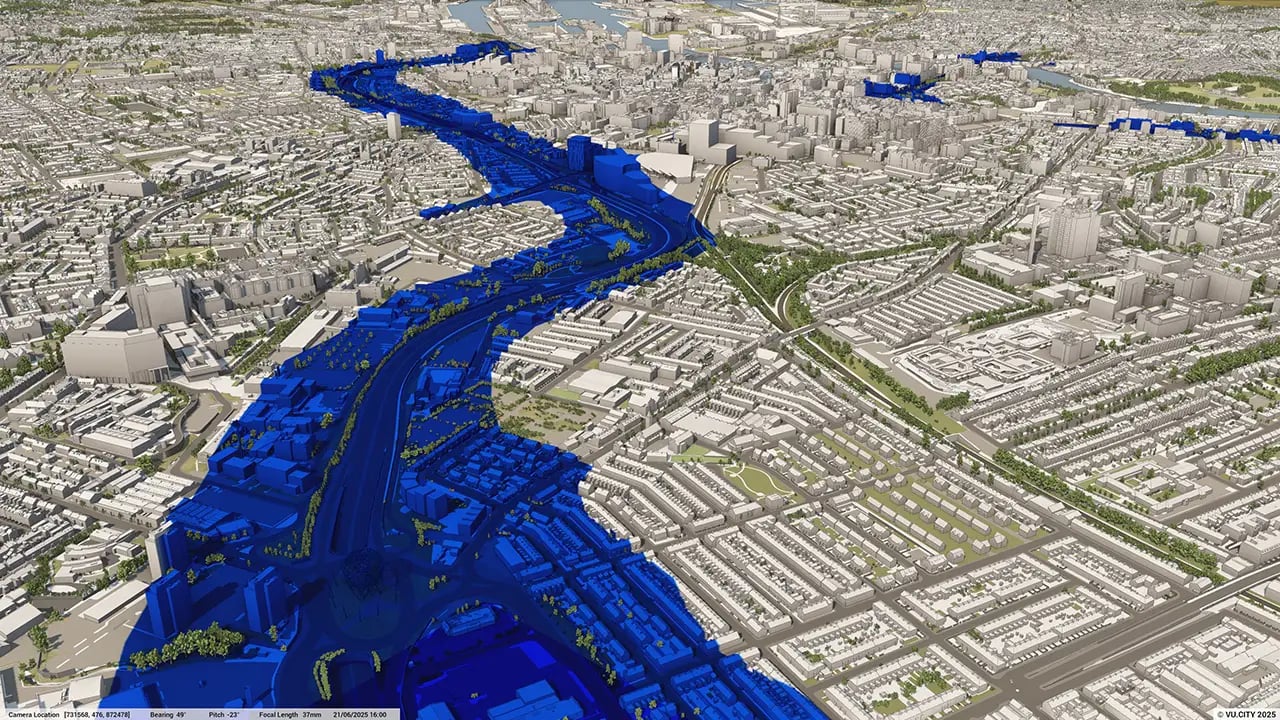
'Air Quality Management Areas' have been mapped as part of Belfast City Council’s ambition to become carbon net zero, which we have included in the platform along with other local environmental and socio-economic data.
Belfast City Council is a huge advocate of VU.CITY, as a key tool in shaping the city by supporting planning officers in understanding change with pre-app conversations and the planning approval process.
VU.CITY Belfast licence holders, such as RPP Architects, ARUP, John McAslan + Partners, Juno Planning, Todd Architects, Like Architects and MRL Architects have found the platform and its features beneficial to look at feasibility, review designs in urban context, to aid with master planning as well as having transparent discussions with stakeholders and planning bodies.
Belfast has determined that the key to the post-pandemic success will be innovation. The new partnership, Innovation City Belfast, brings together Belfast City Council, Belfast Harbour, Catalyst, Queen’s University and Ulster University, with Invest Northern Ireland as an advisory partner. They are committed to delivering an ambitious long-term plan that will establish Belfast as a globally significant destination for innovation and VU.CITY will be integral to this framework to visualise Belfast incredible change.
Trusted by 6,000+ users across 26 cities
Architects, developers, local authorities, urban planners, and more trust VU.CITY to help achieve their goals.
Organise and visualise your geospatial data in accurate context with our comprehensive suite of digital design and development tools.
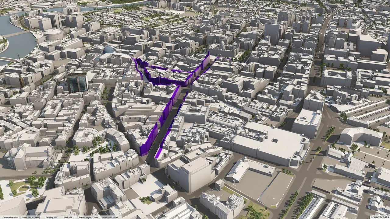
VU.CITY Belfast: 3D Model Features and Geospatial Tools


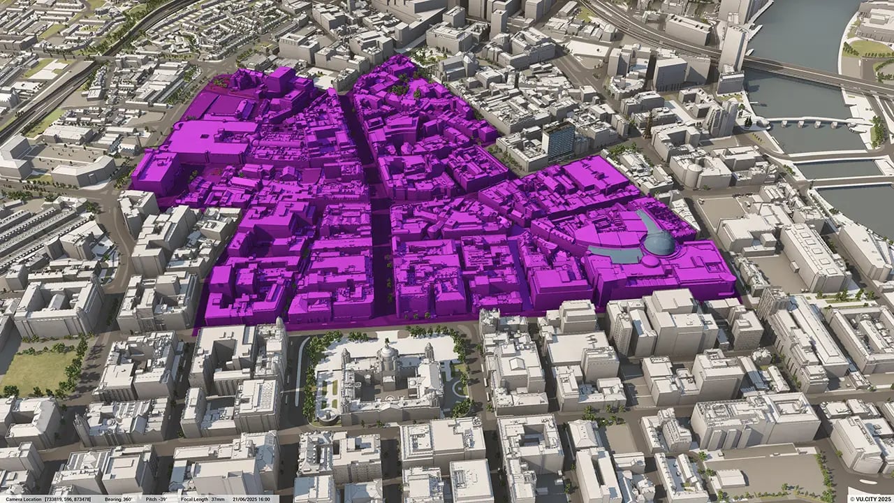
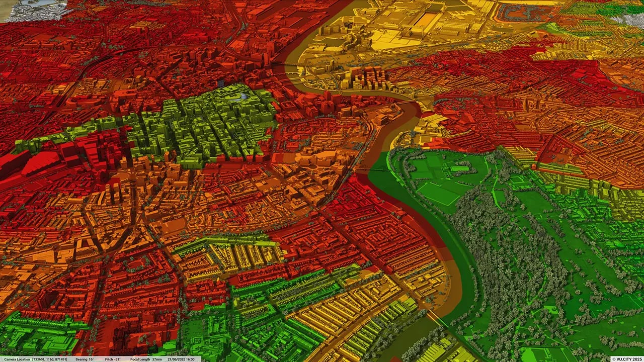
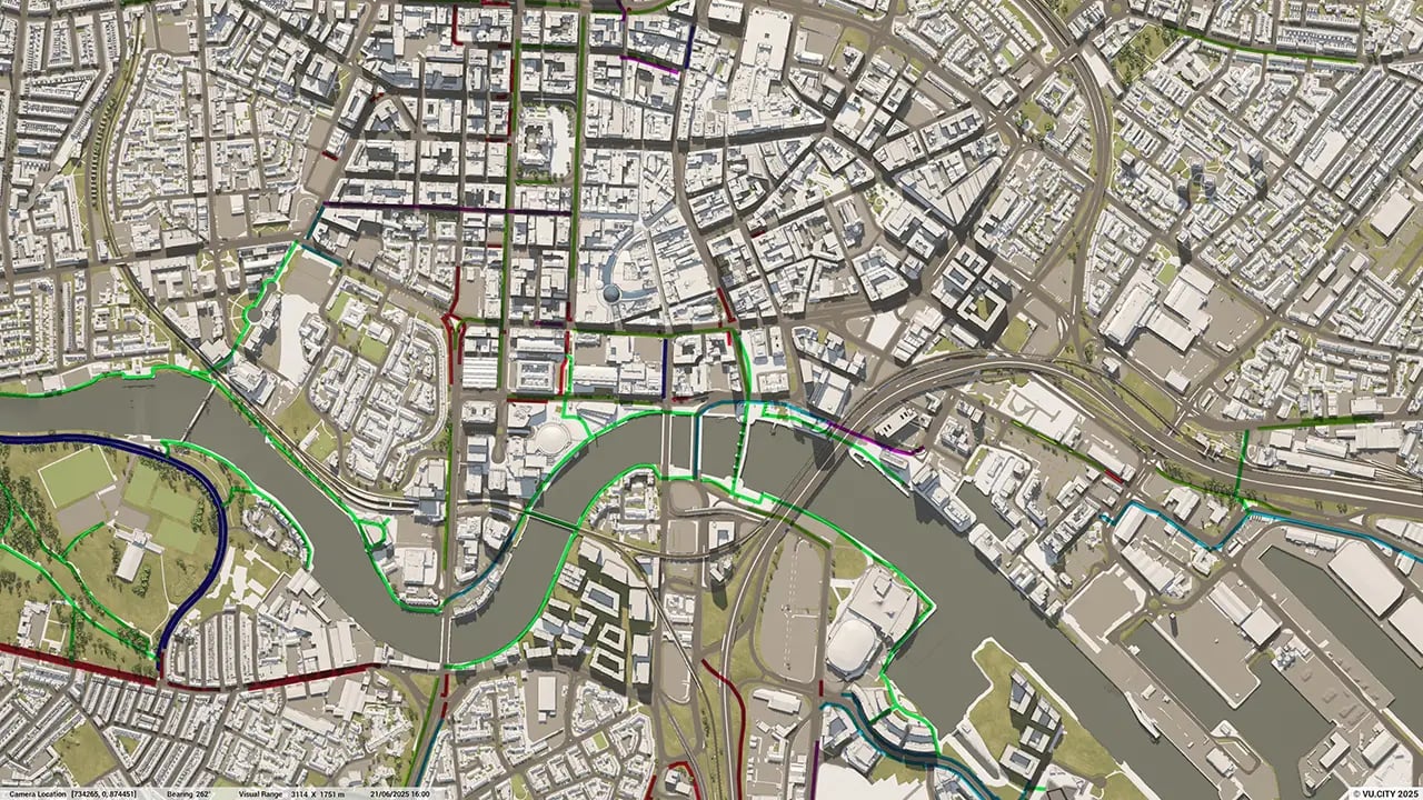
Belfast 3D tile coverage
Whether you’re focusing on a single neighbourhood or the entire cityscape, VU.CITY provides full coverage with unmatched precision.
VU.CITY Belfast FAQs
Here are some frequently asked questions about VU.CITY's Belfast 3D Digital Twin and Model
What is VU.CITY Belfast, and how does it support 3D city modelling?
VU.CITY Belfast provides a highly detailed 3D model of Belfast, allowing planners, architects, and developers to visualise projects in the context of the city's environment. This technology supports more efficient planning, better decision-making, and enhanced project collaboration.
How can VU.CITY Belfast assist with planning permission and urban development?
VU.CITY Belfast helps streamline planning applications by providing a clear, visual understanding of how projects integrate within Belfast’s zoning laws and urban design framework. It also supports developers and councils in meeting planning requirements efficiently.
What data layers are available in the VU.CITY Belfast model?
VU.CITY Belfast includes data layers for environmental impacts, heritage sites, transportation networks, building heights, and land use, providing in-depth insights for informed urban planning and sustainable development.
Why is 3D modelling important for urban planning in Belfast?
3D modelling enables planners to see proposed projects in relation to Belfast’s unique urban landscape, identify potential visual impacts, and make informed decisions. It improves project accuracy, stakeholder communication, and community engagement.
How can VU.CITY Belfast improve public consultation and community engagement?
VU.CITY Belfast allows communities to visualise new developments in a 3D model, providing clarity on projects and their impact. This approach enhances transparency and supports meaningful feedback during public consultations.
Explore digital 3D geospatial solutions for the built environment
VU.CITY provides clear, powerful tools for key decision-makers across the built environment, helping them visualise and shape the future of cities with confidence and precision.
Make smarter decisions with data-driven insights, from infrastructure to sustainability.
Unlock the power of Generative AI for optimal design and streamlined decision-making.
Bring your designs to 3D life with state-of-the-art modelling tools.
Collaborate seamlessly across studies, planning, and design.
Utilise advanced 3D models and a data-driven approach with our flexible ZTV service.
Bring Your Vision to Life with a 3D Flythrough Video.
26 UK & International Cities
Over 3,000+ sq km accurate to 15cm | Tools to scope, create & collaborate on designs
Shape Tomorrow’s Cities, Today.
Begin Your Free Trial Now.
- 1
- 2
- 3

